
Scan the QR code and open PeakVisor on your phone
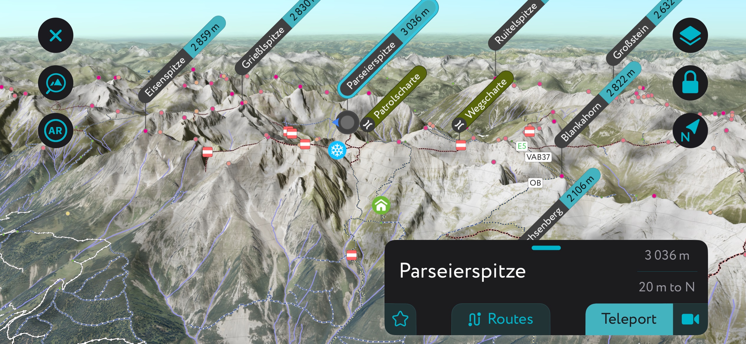
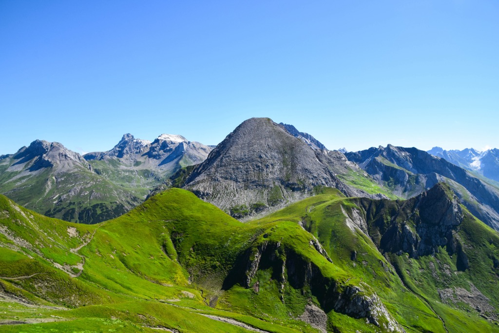
The Lechtal Alps (Lechtaler Alpen in German) are located in Austria in the states of Tyrol and Vorarlberg. The range has numerous peaks over 2,700 m (8,858 ft) elevation, including the only one over 3,000 m (9,843 ft) within the North Tyrol Limestone Alps. Of 553 named peaks in the range, Parseierspitze is the highest (3,036 m / 9,961 ft) and the most prominent (1,243 m / 4,078 ft) from its surroundings.
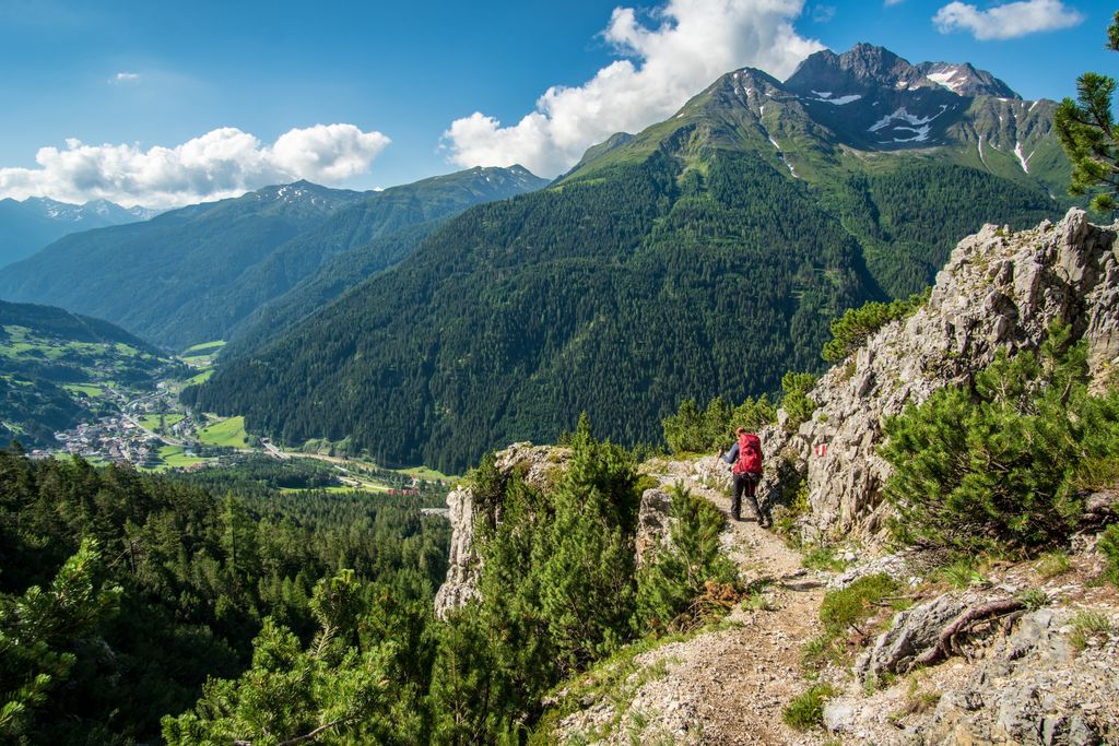
The Lechtal Alps (known as the Lechtaler Alpen in German) are located in the states of Tyrol and Vorarlberg in Austria. They are the largest mountain chain in the North Tyrol Limestone Alps and contain many peaks over 2,700 m (8,858 ft), while neighboring ranges have just a few. The tallest peak in the range is Parseierspitze. At 3,036 m (9,961 ft), it is not only the tallest peak in the Lechtal Alps but the only three thousander of the greater Northern Tyrol Limestone Alps.
Jagged peaks, steep slopes, and deep gorge-like valleys characterize the range. Forests spread down the lower slopes, and while there are mountain meadows, the steepness has deterred extensive alpine farming.
Mountains surround the Lechtal Alps. To the north are the Allgäu Alps; to the northeast are the Ammergau Alps; to the east are the Meiming Chain and Wetterstein Mountains; to the south are the Ötztal Alps and the Samnaun Alps; to the southwest are the Verwall Alps; and to the west are the Lechquellen Mountains.
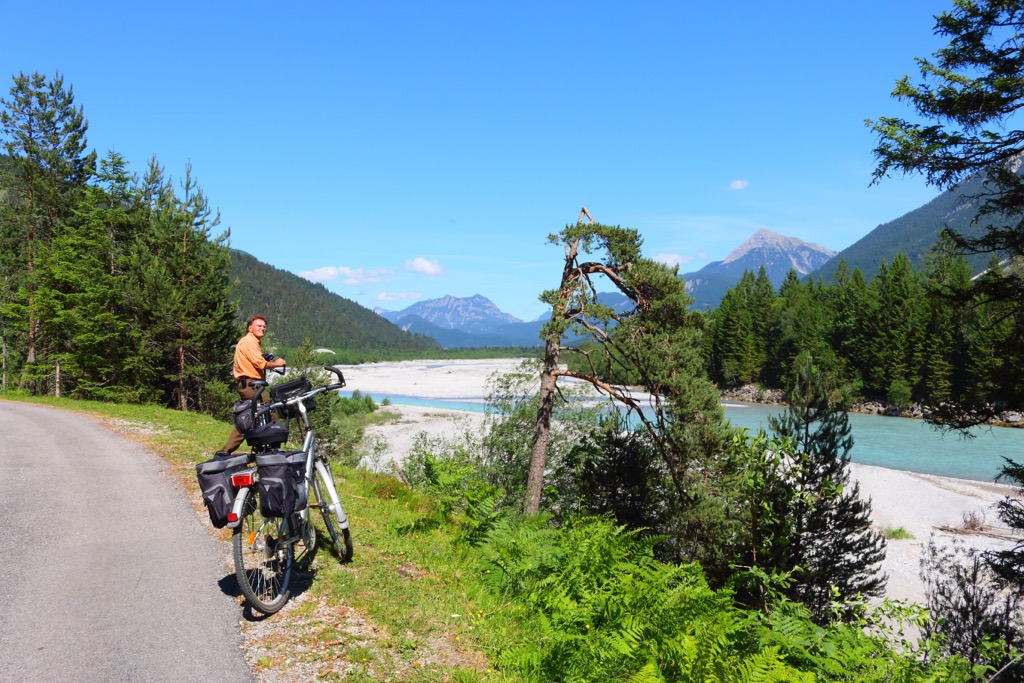
The Lechtal Valley runs along the base of the Lechtal Alps and the Allgäu. Through this valley flows the Lech River, a wild river in Austria valued for its ecological importance and relatively undisturbed condition. The Tyrolean Lech Nature Park protects the riparian ecosystems, extensive floodplains, and surrounding lower slopes along the river.
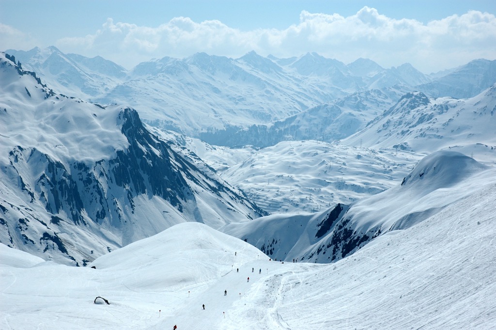
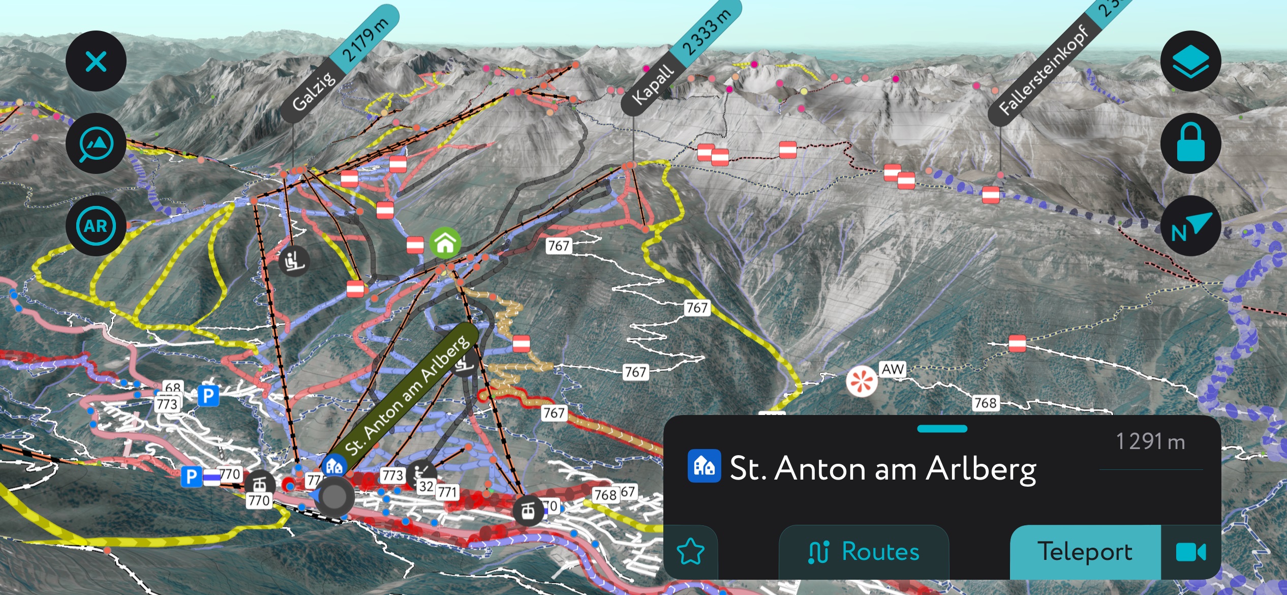
The Lechtal Alps are also famous for their proximity to St. Anton am Arlberg and Ski Arlberg – one of Austria's most extensive and famous interconnected ski areas.
The Lechtal Alps are part of the European Alps. The Alps formed during the Alpine orogeny, a mountain-building event that occurred as the African and Eurasian plates collided and has been ongoing since Cretaceous times. Most mountain building occurred between 65 and 2.5 million years ago, although the mountains continue to be uplifted. However, the uplift rate no longer outpaces erosion, and the Alps are not considered a growing range.
On a smaller scale, the Lechtal Alps are part of the Northern Tyrol Limestone Alps. The Limestone Alps consist of a series of ranges, including the Lechtal Alps, Mieminger Mountains, Wetterstein Mountains, Karwendel, and Lechquellen.
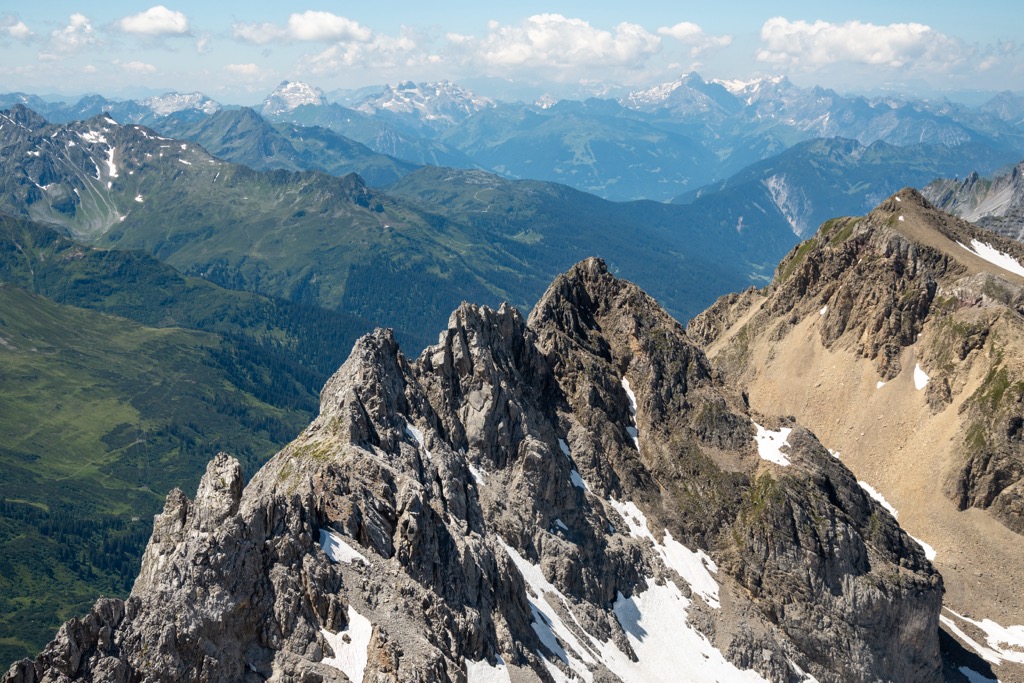
Many mountain tops are composed of dolomite, which creates an impressive landscape of jagged rock towers and scree fields. Other summits comprise limestone, marl, and sandstone.
Dolomite is one of the oldest rocks in the range, formed around 220 million years ago. Approximately 240 million years ago, the region was part of the supercontinent Pangea and partially surrounded by the Sea of Tethys. Shells from sea life, dead plants, mud, and sand sank and formed sedimentary rock layers over time. The Alpine Orogeny eventually uplifted these layers.
The Gossau layers are some of the youngest rocks in the Lechtal Alps. They formed during the Cretaceous era around 90 million years ago. Following early mountain uplift, erosion wore down the rock, loosening small fragments. Over time, these fragments were pressed together. Round fragments are called conglomerates, and angular ones are called breccias, while the finest particles pressed together form sandstone. When polished, these rocks look like decorative gemstones and have been used in castles and churches in Tyrol and Bavaria.
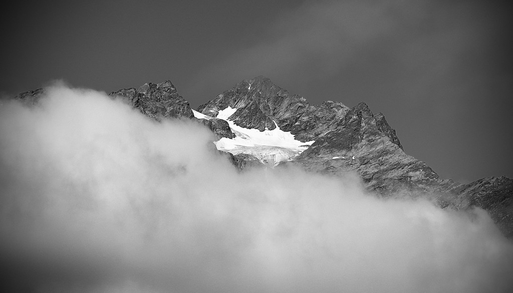
The Lech Glacier formed during the Würme Ice Age (110,000 - 10,000 BC). It reached the lower hills around the Alps and measured up to 800 m (2,625 ft) thick in the Reutte basin. This extensive glacier blocked glaciers on side valleys, resulting in today's hanging valleys. Many of the steep drop-offs have gorges and waterfalls.
The North Tyrol Limestone Alps receive annual rainfall between 150 and 200 cm (59 to 79 in). Habitats include mixed spruce-fir-beech, subalpine spruce, mountain meadows, and alpine zones. The steep terrain of the Lechtal Alps deters alpine farming, although it is common in nearby ranges.
Within the Lechtal Alps, spirke (dwarf mountain pine) is a subspecies of mountain pine and is well-represented. Where the tree grows, there are often high rates of biodiversity. The trees also serve critical ecological functions, such as stabilizing scree slopes and establishing an environment for other forest communities.
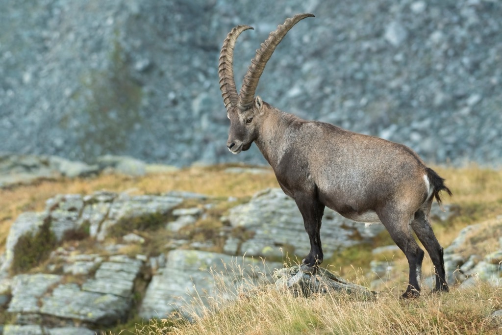
Alpine wildlife, including ibex, chamois, marmots, foxes, deer, hares, and various small mammals, inhabits the upper slopes. Birdlife includes eagles, owls, woodpeckers, and sandpipers.
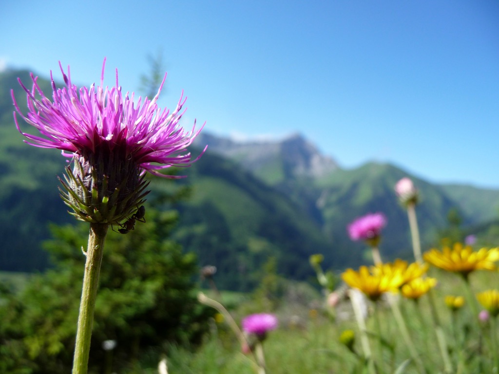
At the base of the mountains in the Lech Valley and the Tyrolean Lech Nature Park, more than 1,100 flowering plants grow. The nature park protects gravel beds, riparian forests, floodplains, and the lower slopes of the Lechtal Alps and Allgäu. The area is home to rare or threatened wildlife, including sandpipers, little-ringed plovers, and several crayfish species.
Some plants that grow along the river, such as the dwarf bellflower, white silverwort, alpine edelweiss, alpine toadflax, and blue-green saxifrage, are usually found at higher elevations in the Lechtal Alps and Allgäu. In this case, they are carried from the mountains to the river valley and grow here.
Another species of note is the German tamarisk, which used to be common along rivers but is now rare. In the Northern Alps, large stands are only found in Tyrolean Lech, Upper Isar, and the Halblech.
A few prehistoric sites have been discovered in the Ruetten and Lech Valley. Historians believe the Celts came to the Lech Valley from Allgäu, using evidence from artifacts such as axes and arrowheads.
Around 15 BC, the Romans arrived in the region under the rule of Emperor Augustus. They built Via Claudia Agusta, a route that took decades to finish, and connected Donauwörth to the Adriatic Sea. From 500 AD onwards, after the fall of the Roman Empire, several waves of settlers to the area included Alemannic tribes, Rhaeto-Romans, Bavarians, and the Walliser.
A challenging reality of life for inhabitants in the 1600s can be seen in the history of Swabian children. With estate and land division controlled by powerful families, many farmers struggled to provide for all their kids. The elder children crossed the mountains to Ekmpten or Isny to work the summer season for wealthy Allgäu farmers.
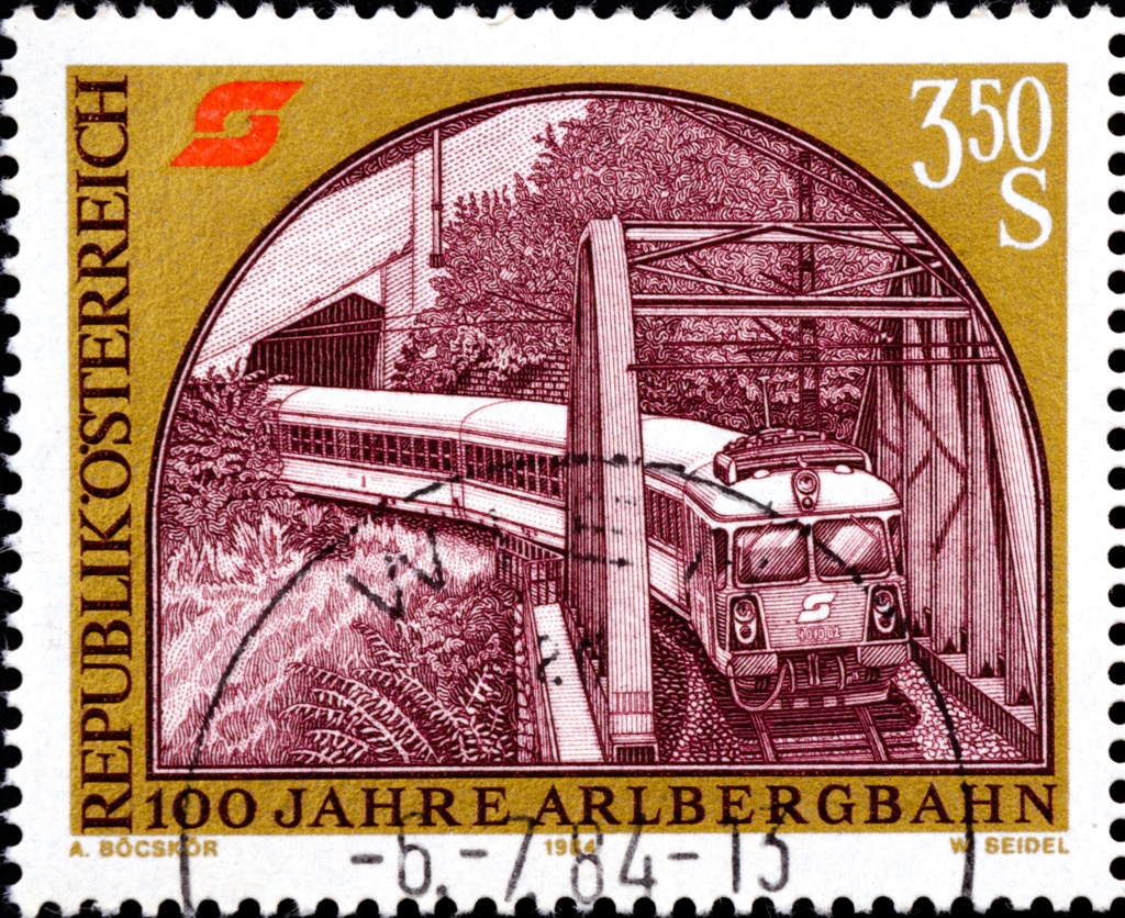
The area is also famous within the alpine skiing world. Arlberg began its rise to fame around 150 years ago. The Arlberg railway tunnel opened in 1884, inaugurated by Emperor Franz Joseph I and ushering in the first guests to the area. In 1885, a Norwegian engineer coming to assess the railway brought skis and was the first to take advantage of the slopes. Ski Club Arlberg opened in 1904, the first race occurred in 1904, and the first ski school opened in 1921.
Films such as “Der Weiße Rausch” helped spread the resort’s name outside the Alps. The first lifts and cable cars arrived in the 1930s. Today, the ski complex continues expanding its cable car network and offerings through a series of connected resorts from St. Anton, Lech, Zürs, and other villages.
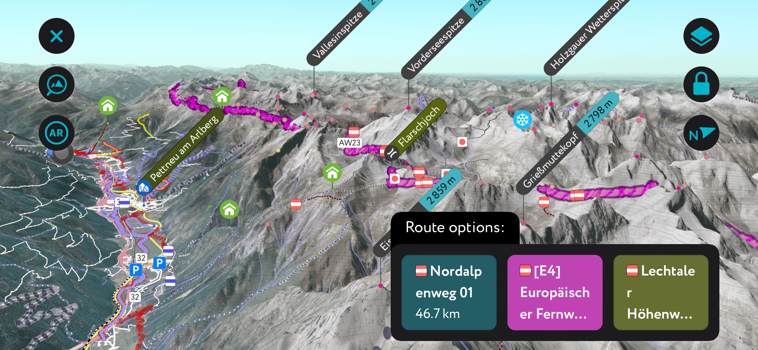
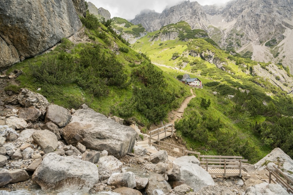
Several long-distance hiking trails cross the Lechtal Alps, including the Limestone Alps trail. There are fixed rope routes ranging from challenging to family-friendly. Mountain huts provide a cozy spot to stay overnight and hot meals. Be sure to book in advance; information from each hut can let you know which trails are in the area and their condition.
In winter, Ski Arlberg in St. Anton is the largest ski area in and around the Lechtal Alps. The lifts run both winter and summer, giving hikers a head start.
A classic route through the Lechtal Alps is the Lechtal High Trail. Measuring around 85 km (53 mi), much of the trail stays between 2,000 and 2,500 m (6,560 and 8,200 ft). It is beautiful and a challenge suitable only for experienced mountaineers. Some parts of the route may require crampons, an ice axe, and ropes.
There are 13 huts along the way and several variations of the route. It typically takes between 10 and 19 days to complete. The shortest version has 7,000 m (22,965 ft) of elevation gain.
One major attraction along the way, besides numerous peaks and stunning scenery, is Steinsee Lake. The trail is part of the North Alpine Long Distance Trail 01 and the European Hiking Trail E4.
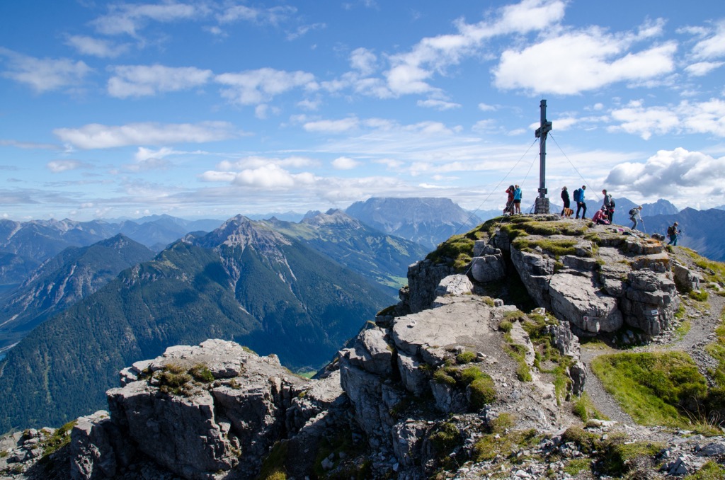
Summiting Thaneller (2,341 m / 7,680 ft) is an option for a challenging day hike up the third most prominent peak (prominence 990 m / 3,248 ft) in the range. With steep climbs and ropes supporting part of the route, this trail is not for the unfit. The Riezler trail climbs the north side, and once you summit, the views are impressive and worth the effort. Be aware that there is no hut along the way, and hikers should carry enough water and food for the entirety of the hike.
In addition to hiking, there are excellent ski touring opportunities in the Lechtal Alps from the Lech Valley. One popular ski tour leaves Boden, passes the Hanauer Hütte, and heads to the Westliche Dremelscharte.
This route climbs around 1,000 m (3,280 ft) on shadowy, north-facing terrain. This is just one suggestion, and there are several alternative tracks from Hanauer Hütte, depending on conditions.
Those utilizing the hut in summer have options to climb Dremelspitze, Parzinnspitze, and Kogelseespitze.
The Arlberg via ferrata is a classic climbing route in the Lechtal Alps and is considered by many to be one of the most challenging and beautiful via ferrata routes in the Alps. It is around 3 km long and reaches approximately 2,500 m (8,200 ft) along rough ridges and vertical rock faces. The route crosses Knoppernjochspitze, Lisunspitze, and Weißschrofenspitze.
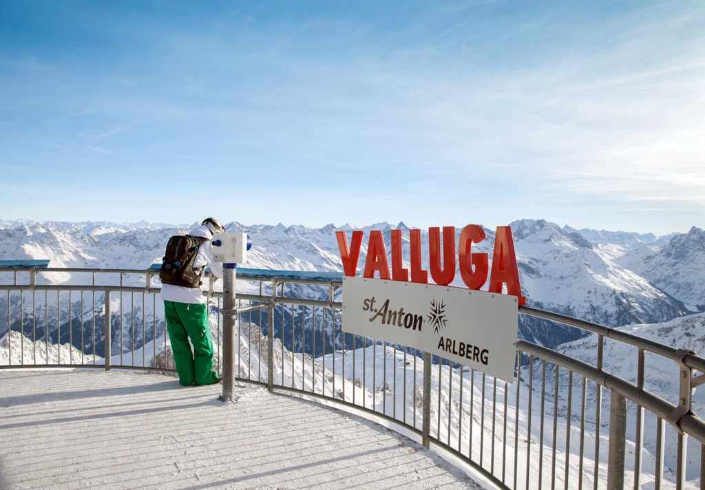
Visitors can access the route from the Valluga cable car station or the Kapall chairlift. It is best to go from west to east. If you’re not yet advanced, there are beginner-friendly via ferratas around the Lech Valley.
The Galzig Loop and cable car up Valluga Mountain are highly recommended. The loop begins from the top of the Galzig cable car and is around 8 km (5 mi) with little elevation gain as it loops around the mountain. There are great views of the valley below and peaks above, and the route passes small lakes and patches of snow that linger through the summer. This is a beginner-friendly route, and those wanting a longer hike can also hike back down to St. Anton.
Those wanting further views can take a second cable car from the same station up Valluga Mountain, which features incredible views, permanent snowfields, and the option to embark on more challenging alpine trails.
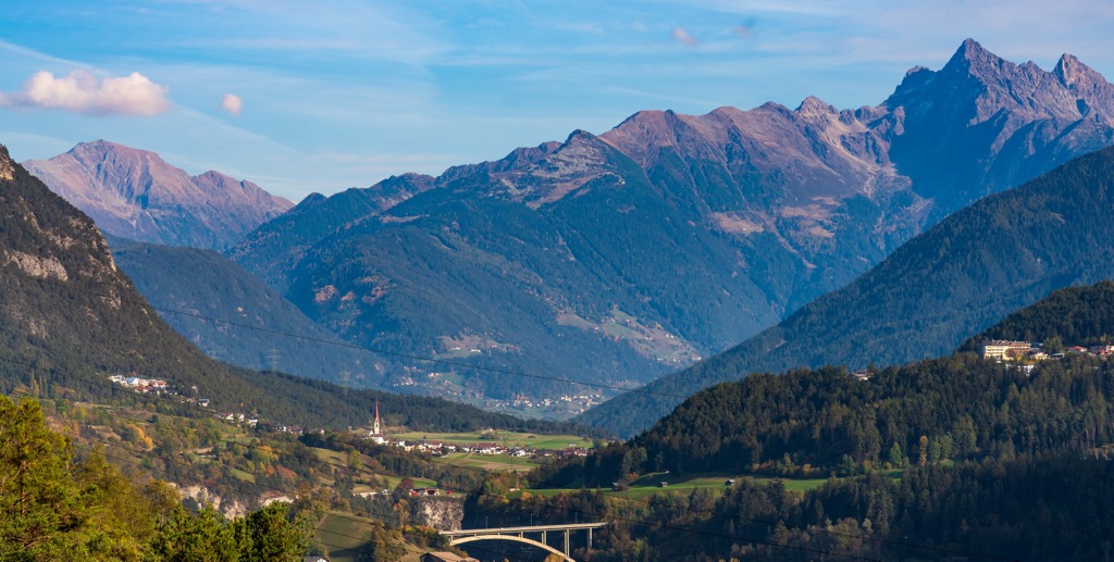
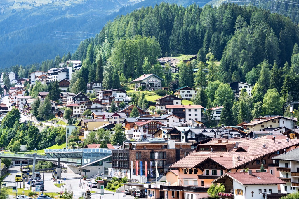
Several small villages lie along the Lechtal Valley and offer easy mountain access. Some more significant centers include Reutte, St. Anton, Imst, and Lermoos. Innsbruck is the biggest city in Tyrol.
Those traveling from further away can pass through Zurich, Switzerland, or Munich, Germany, to reach the region.
Villages dotted along the Lech Valley offer small village experiences and quick access to the Lechtal Alps and the Allgäu. Some outdoor activities are accessible from numerous villages, like the Lech Cycle Path or rafting on the Lech River. Elbigenalp, with a population of around 1,000 people, offers year-round opportunities to get outside, from hiking and rafting in summer to downhill and cross-country skiing in winter.
The village is steeped in history, with historic buildings and local history museums and events celebrating local traditions and costumes of intricate embroidery, velvet, and silk. The open-air stage at Elbigenalp hosts local bands, and the area is also famed as a hotspot for carvers and sculptors.
Summer in Imst, population 10,000, offers climbing, biking, and hiking trails ranging from meandering forest paths to strenuous mountain climbs. Several ski resorts in the area make it a great destination year-round. One of the most popular is Hoch-Imst. A visit to the Blue Caves in Rosengartenschlucht Canyon makes for a good day trip.
Those interested in culture can visit several museums and galleries and admire the historic buildings. Top architectural sites include the 13th-century Starkenburg Castle in Tarrenz, which has been converted into a museum, and the 18th-century parish church St. Johannes der Täufer. Meanwhile, the Carnival Museum highlights the town’s carnival traditions.
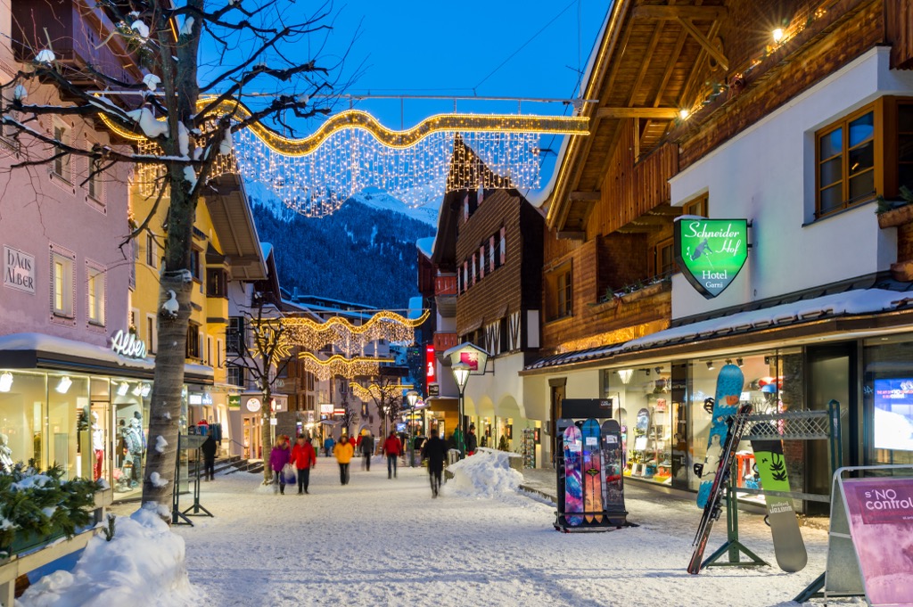
St. Anton is the name for a mountain village with around 2,500 inhabitants, and the surrounding area encompassing other mountain villages. The Lechtal Alps lie to the north of town, one of the best-known ski resorts in the Alps. Ski Arlberg connects multiple ski resorts and villages located along the Arlberg Pass. The ski center averages 10 to 11 m (33 to 36 ft) of snowfall per year, making it one of the snowiest parts of the Alps. Although there is some variation across ranges, the abundant snowfall and extensive ski lift systems make this a hotspot for backcountry ski touring and freeriders.
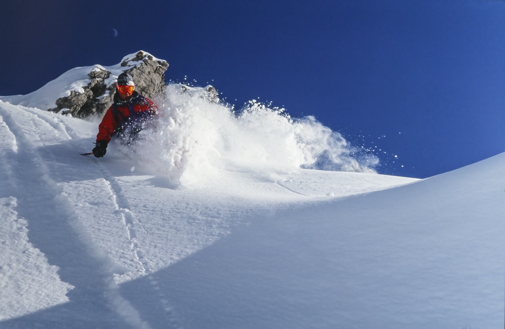
The entire ski complex is famed as the cradle of alpine skiing, and St. Anton is known for having more challenging routes than some of the other ski resorts and villages. It’s host to the most extreme terrain in Austria, although nothing here will compare to the French and Swiss freeride meccas like Chamonix. However, those looking for a more low-key holiday will also find easier slopes and the option to snowshoe or toboggan.
One must-do activity for those staying in St. Anton is riding up Galzigbahn, the 2.5 km (1.5 mi) cable car to the top of Galzig from town. The original cable car opened in 1937 and was one of the first in Austria. For an even more scenic experience, visitors can take a second cable car from the top of the Galzig station to reach Valluga.
Plenty of bike trails extend around the village. Visitors can rent bikes and e-bikes to take advantage of the trails. One popular route goes to Konstanzer Hut via Lake Verwallsee.
St. Anton is easy to reach via train. Many foreigners fly into Zurich, Switzerland, then take a two-hour train to St. Anton. An excellent bus system within town makes it easy to get to the cable cars at the base of the mountains.
With a population of over 310,000 people, Innsbruck is an excellent destination for culture, nature, and proximity to mountain sports. It is the second-largest city in the Alps, after Grenoble, France, but arguably offers better mountain access. The city lies in a valley with steep mountains rising steeply around it; cable cars like the Nordkette and Patscherkofel provide quick access to the slopes for hiking, skiing, mountain biking, and paragliding.
Visitors can stroll through Old Town or pay a few Euros to climb the Town Tower. The Hofkirche church has 28 bronze statues, while the Cathedral of St. James showcases Baroque architecture. The Schloss fortress, a medieval fortress turned Renaissance castle for Archduke Ferdinand II’s wife, displays armor and artwork. Innsbruck hosted the Winter Olympics in 1964 and 1976 and the 1984 and ‘88 Winter Paralympics; the stadiums still host sports events.
Purchasing an Innsbruck Card is a worthwhile investment if you want to go to multiple museums, ride some cable cars, and have free transport on buses, trams, and bikes. The passes can be purchased for 24, 48, or 72 hours.
Innsbruck is within a 30-minute drive from both Italy and Germany. It is possible to arrive by train from Venice, Munich, Salzburg, and Zurich. The city also has a small but busy international airport and is a launching point for the famous Tyrolian ski resorts.


