Get PeakVisor App
Sign In
Search by GPS coordinates
- Latitude
- ° ' ''
- Longitude
- ° ' ''
- Units of Length

Yes
Cancel
❤ Wishlist ×
Choose
Delete
Western Finland is one of the six former provinces of Finland, which were in place between 1997 and 2009. Today, the same territory is occupied by seven smaller counties. The main feature of the province is the long coastline of the Gulf of Bothnia of Baltic Sea, including the Kvarken Archipelago, the only natural UNESCO World Heritage Site in Finland.There are also 589 named mountains in Western Finland, the highest and most prominent of which is Tornikangas (281 m / 922 ft).
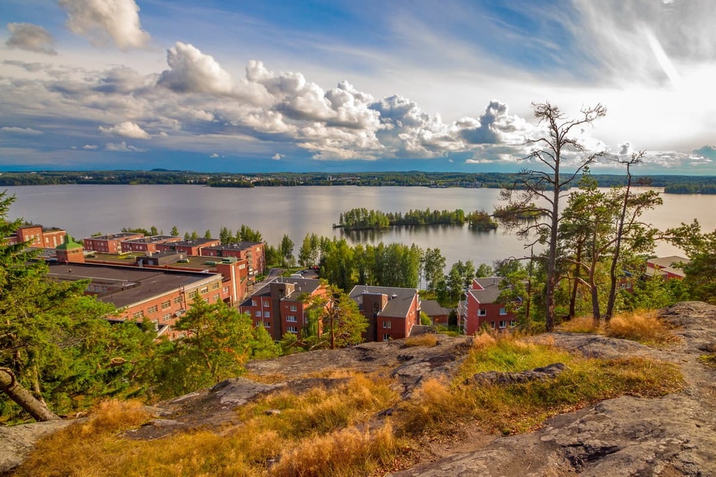
Despite the fact that Western Finland (Länsi-Suomen lääni) is a former province, its name is still widely used in the region. The name of the province of Western Finland is fairly self explanatory and you can still find it in guides like this one and in other resources, including official travel sites, publications, and books.
You could say that this is Finnish California, as the Finns themselves like to joke. However, to some degree, it’s not really a joke because one of the most beautiful and famous beaches of the country, Yyteri, is located in the province.
Aptly named, Western Finland is located in the southwestern and western parts of the country.
As has already been mentioned, it used to be one of the six large regions of Finland between 1997 and 2009, alongside Southern Finland, Eastern Finland, Oulu (in the geographical center of the country), Lapland, and the Åland Islands, which are located in the Baltic Sea between Finland and Sweden.
Internally, the province was historically divided into seven regions, 34 districts, and 192 municipalities. Among these seven regions, you can find some of the 19 counties into which the country is now divided. These regions and their largest cities are:
If you combine both the historic and the current maps, Western Finland today borders other counties like North Ostrobothnia (Oulu) in the north, North Savo (Kuopio) and South Savo (Mikkeli) in the northeast and east, and both Päijät-Häme (Lahti) and Kanta-Häme (Hämeenlinna) in the southeast and south. The western border of the province is, as was the case before, the Gulf of Bothnia, which is located in the northern part of the Baltic Sea and has not gone anywhere since the land borders were redrawn.
Western Finland is also synonymous with one of the four major tourist regions of the country, the Coast and Archipelago. Here, the word "coast" refers to the entire sea coastline of the country, but primarily the southwestern and western region and its famous archipelago, but not the southern coast that borders the Gulf of Finland
The other three tourist regions are the Helsinki and Uusimaa region, the Lakeland region in Eastern Finland, and Lapland in the northern part of the country.
There are many ways to get to Western Finland. These include:
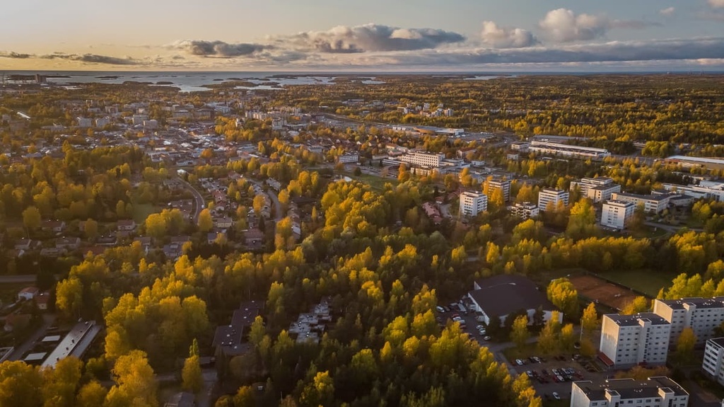
Western Finland is also known as one of the best places in northern Europe for cycling, thanks to the cycling routes that travel through the islands of the Archipelago Sea National Park and the Åland Islands.
As a person who has traveled to Finland by land, air, and sea, I highly recommend traveling by land. Finland is an incredibly beautiful country that you just can’t fly through by plane, as you’ll miss the opportunity to see elk and deer on the roads. Where else is that possible but Finland? The sea is also a great option, thanks to the many islands that surround the region.
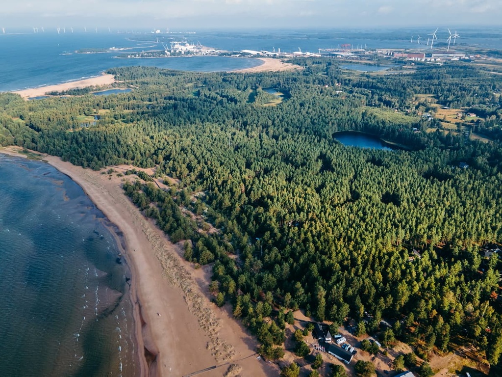
The main feature of the landscape of Western Finland is the long coastline of the Gulf of Bothnia of the Baltic Sea. This coastline features many rocky islands, which form picturesque skerries, straits, and bays, as well as wide and long beaches with huge sand dunes.
Here are some of the main geologic and landscape features that you’ll find in Western Finland.
The Gulf of Bothnia is the northern part of the Baltic Sea and is divided into two other parts: the northern part—Bothnian Bay—and the southern part—Bothnian Sea. The latter occupies most of the coastline of Western Finland.
The main thing to know about the gulf is that it is getting shallower all the time as a result of a geological process known as post-glacial rebound (isostatic rebound). The land is rising above sea level, as it was relatively recently released from the pressure of the Fennoscandian ice sheet, which melted about 10,000 years ago.
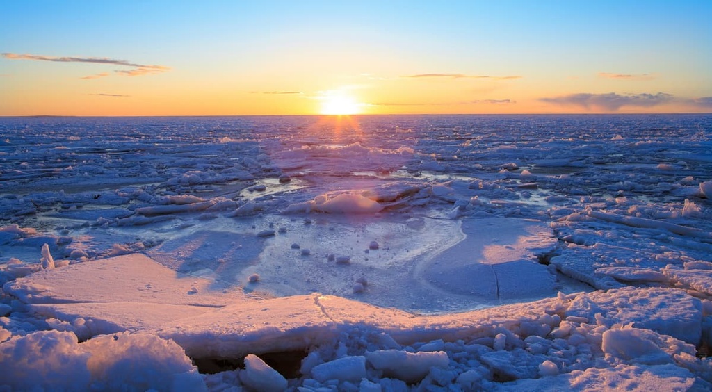
The average depth of the Gulf of Bothnia is just 60 m (196 ft). The Bothnian Bay is especially shallow, and it usually freezes in winter, which also happens to the Gulf of Finland of the Baltic Sea near St. Petersburg, Russia.
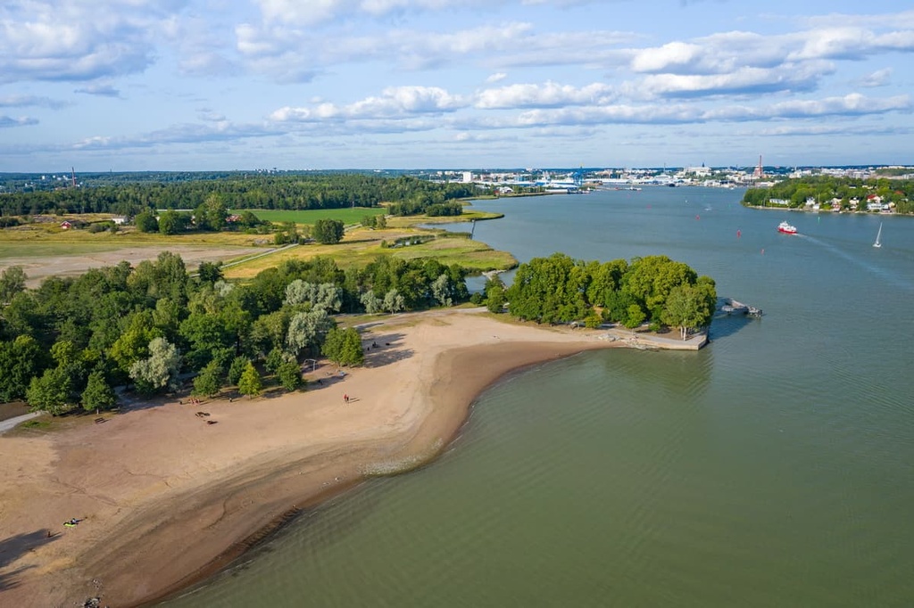
Most of the islands of the Gulf of Bothnia are located in the south of the province, in the Finland Proper county. It is also known as the Turku Archipelago or Archipelago Sea. It is said to be the largest archipelago in the world by total number of islands.
The further north we move, the fewer islands there are. They almost disappear just after the northernmost major city of the province, Kokkola, but the coastline of the whole western part of the country up to the city of Oulu and then to the towns of Kemi and Tornio on the border with Sweden is still heavily indented by capes and bays.
Kvarken is another archipelago in the same gulf, which is located near the city of Vaasa. This archipelago is relatively small when compared to the neighboring Archipelago Sea. In fact, Kvarken is a group of just 5,600 islands while the Archipelago Sea contains 80,000 islands. However, the Kvarken Archipelago is one of seven UNESCO sites in Finland and it is the only nature-based UNESCO site as the others are cultural sites.
The region’s description on the UNESCO website states that “Kvarken is an excellent proving ground for the study of land uplift—a phenomenon first identified here. The land is also rising at a rate recognized as one of the highest for this kind of phenomenon. As the coastline grows, new islands appear, peninsulas grow, [and] bays are transformed into lakes that swamp over time.”
Here you can also see unusual ridge-shaped moraines called “De Geer moraines.” The name comes from the last name of the Swedish geologist Gerard Jacob de Geer who first described these moraines.
The De Geer moraines are a type of moraine landscape that consists of a series of narrow ridges that are positioned parallel to a former ice front. The ridges are usually spaced up to 300 m (984 ft) apart and up to 15 m high (49 ft).
A typical De Geer moraine ridge consists of a core that is capped by a layer of rounded boulders. This landscape forms beneath the grounded part of an ice sheet that extends into a lake or sea, in this case, the Baltic Sea.
Western Finland is known not only for its islands but also for its magnificent beaches. Perhaps the most famous of these beaches is Yyteri Beach, which is 6 kilometers (3.7 miles) long. It is located near the town of Pori.
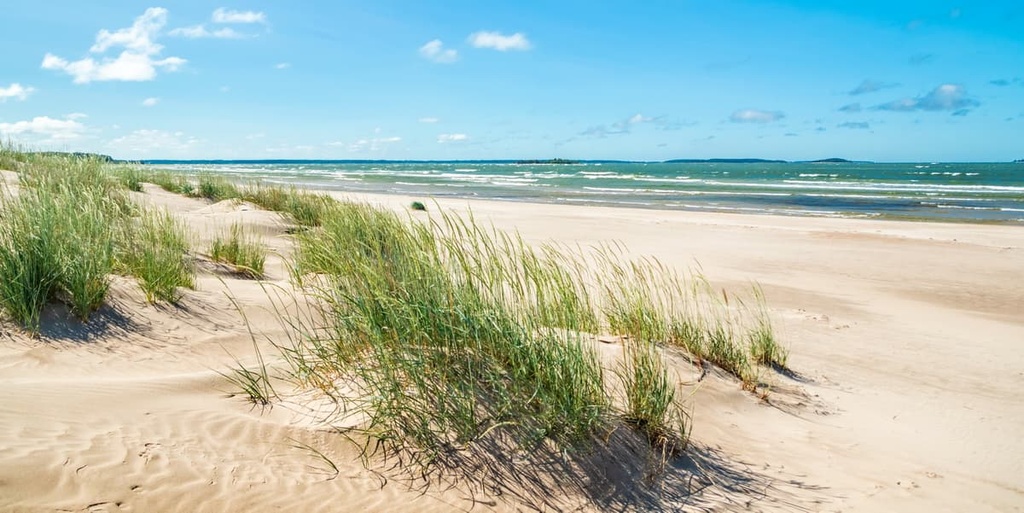
The beach is famous for its numerous sand dunes, most of which are covered by pine trees.
These trees are unique in Europe because of their size.
However, if you’re planning a visit to Yyteri Beach, keep in mind that there is an area in the center of the beach where swimsuits are not required. The nude area of the beach is gender-neutral. This is one of only two nude beaches in the entire country in Finland.
The beach is home to a namesake resort with hotels and cottages, restaurants, and other amenities. Finns from all over the country come to this area in the summer. In addition to sunbathing and swimming, there are many other sports and activities at the beach for visitors to enjoy.
To the east, the province borders with the former province of Eastern Finland, which almost exactly matches the borders of the Lakeland tourist region.
But geographically it is wider, so in the east of Western Finland, you can also find many large lakes, the largest of which in this part of the region (and the second largest in Finland) is Päijänne. The shores of the lakes in this part of the region are also home to many bays, straits, and islands.
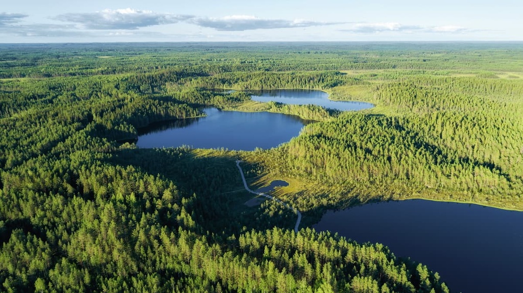
Otherwise, in Western Finland, you can explore and enjoy everything Finland is known for, including cultivated plains and endless pine forests.
If you go a bit further to the north to North Ostrobothnia, you will find out that the region actually borders Lapland. There you will find the southernmost part of the rolling hills and fells landscape that Lapland is known for with their unique aapa bogs, birch forests, and other natural features.
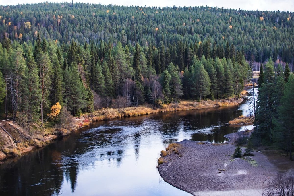
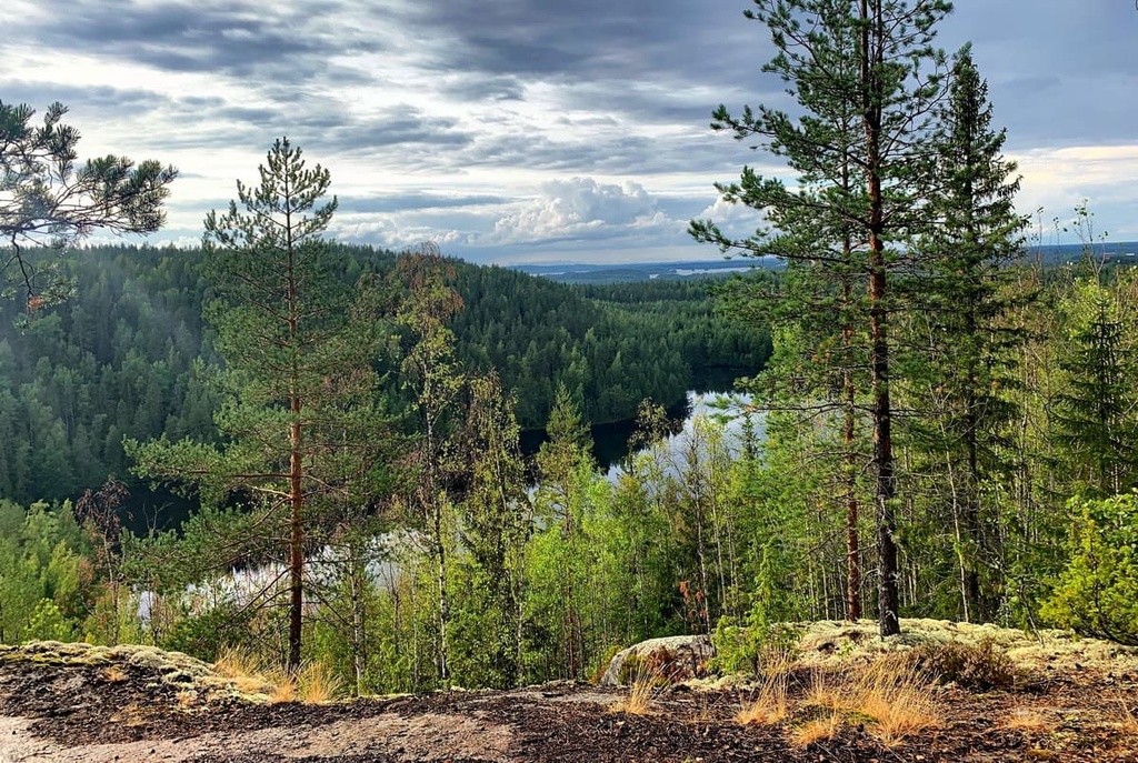
The mountains in Western Finland do not exceed 300 m (984 ft). So, in some respects they are small hills and cliffs rather than mountains, whose main feature is not the height, but the beauty of the views that they provide.
In my experience, even from a cliff of such a low height in Finland you can enjoy stunning panoramic views of the open sea, forests, lakes, and fields. These views easily make up for the hills’ lack of elevation.
The mountains in the province of Western Finland were created by a mountain building event (orogeny) that occurred between 2 and 1.8 billion years ago during the Paleoproterozoic Era. This event was the Svecofennian Orogeny and it created the hills throughout most of the entire southwestern part of the country up to Karelia and Lapland.
In the province, you may also see the Karelides Mountains in the easternmost part of the region. These mountains stretch all the way to the east in Karelia to northern Lapland.
The primary rock type in the region is Rapakivi granite. It is found throughout parts of the Turku and Archipelago area, and it is easily recognized due to its red, brick-like color and Jotnian sediments. It is a group of Precambrian rocks from the Mesoproterozoic Era.
The province’s highest peak, Tornikangas (281 m / 922 ft), is part of the Karelian Mountains. The mountain is located between the towns of Pieksämäki and Hankasalmi in Lakeland, so while traveling on the highway between towns, you can easily get to Tornikangas to admire the surrounding several lakes and endless forests before heading to see the mountain itself.
In other parts of the province, it is also easy to find other interesting peaks on the lakes or along the coast.
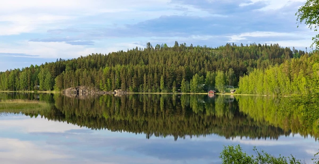
For example, to see the Kvarken Archipelago from a height of 41 m (134 ft), climb Gerbynmäki, which is located to the north of the town of Vaasa. Or from the top of Kokkovuori 32 m (105 ft) near the town of Rauma, which is also located on the coast, there is also a beautiful view of a series of islands, including the largest in this part of the coast, Nurmes.
The smallest mountain of the province, Kvarnbacken, is located to the southwest of Pori. Its height is only 9 m (29 ft). But neighboring Sudenkallio and Stenroosinmäki are both taller than 20 m (65 ft) and they both offer a better view of the sea.
Currently, 15 of the 40 national parks of Finland are located in the former province of Western Finland. In each park, you will find trails of varying lengths from half a day to several days or more.
On a separate note, Archipelago National Park, Teijo National Park, and Päijänne National Park in the Lakeland tourist region, are the three Finnish parks that are located entirely on water. You can get to the islands via bridges or by water taxi.
Also, two of the parks, Teijo and Seitseminen, are home to special nature centers where you can learn more about the nature of Finland.
So here's a list of parks and the longest trails in each of them for you to consider as you plan your trip. In my opinion, if you have enough time, it makes sense to visit one of the marine parks, as well as one on the mainland or Päijänne.
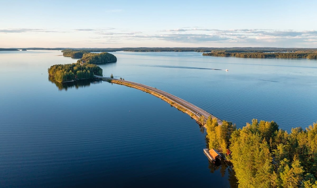
I was in Päijänne in January 2016. Of course, everything was covered with snow, but even so, the nature is incredibly beautiful, so I’ve been dreaming of going back there ever since. One of the most scenic roads in Finland runs through the park and it is a true feat of modern engineering.
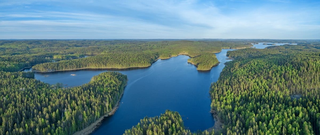
Parks in the south of Western Finland:
Parks in the west of Western Finland:
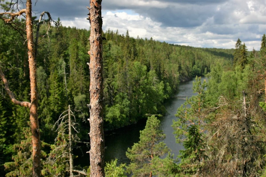
Parks in the center of Western Finland:
Parks in the north of Western Finland:
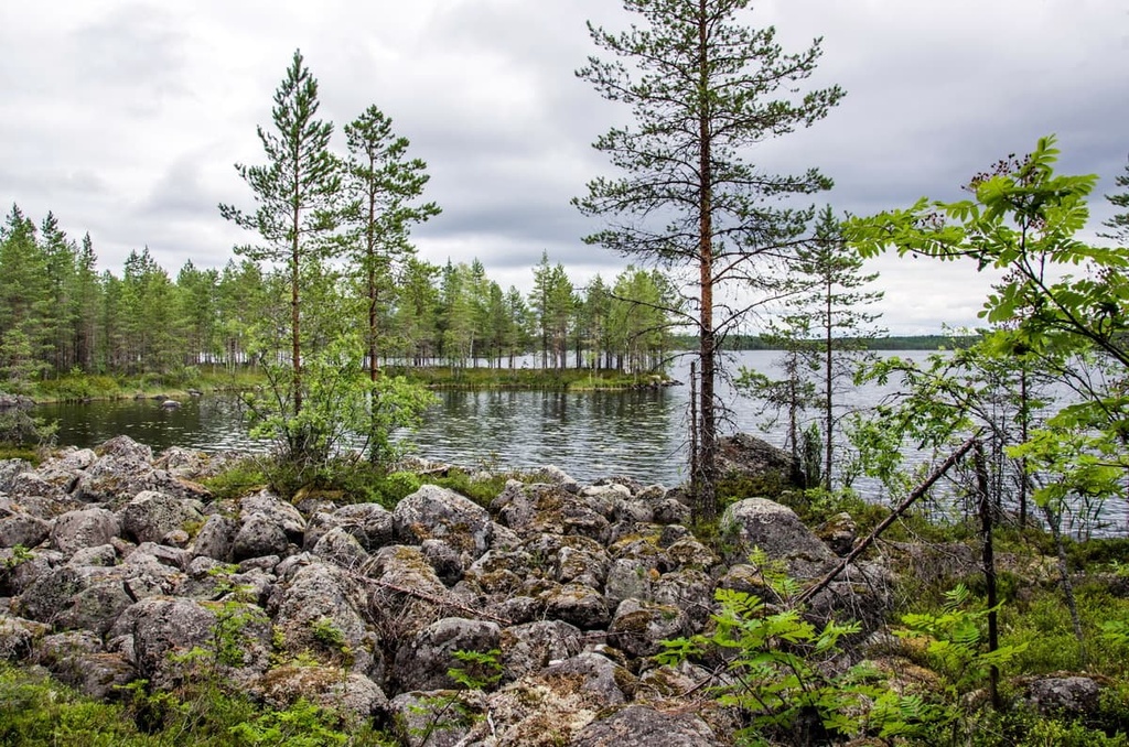
Parks in the east of Western Finland:
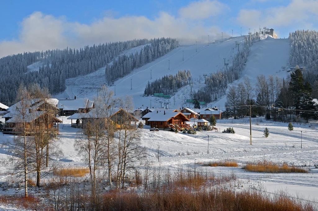
Western Finland is not the main place in the country for Alpine skiing (that would be Lapland), but in absolutely all of the provinces you can enjoy some cross-country skiing.
You can often ski within city limits, but if you do want to test out one or more of the resorts in the region, your main destination in the province is Jyväskylä. The following are the largest ski resorts in that area:
Another relatively big resort is located near Tampere: Sappee Ski Resort. It features 5 km / 3.1 mi of blue and red slopes and 6 ski lifts.
There are also some small resorts located between Turku, Pori and Vaasa. In total, there are more than 10 resorts in Western Finland with up to 5 km (3.1 mi) of slopes.
Before or during your trip, be sure to check out Western Finland’s page on the official tourism site of Finland: VisitFinland.com.
In every city of the province (except Tampere, where tourism officials prefer to communicate online), you will also find info points or tourist offices. For example, here’s one in Pori, which can be considered the capital of the coast:
Visit Pori Tourist Information
Yrjönkatu, 13, Pori, Finland
+35826217900
Opening Hours:
In Finland’s national parks, as the main natural area for hiking, you can stay overnight in one of several types of accommodation:
For example, Southern Konnevesi National Park has five lean-to-shelters and eight campfire sites. Other parks may have more options than what’s listed above. But still, in my experience, nothing can replace sleeping in an ordinary tent, which you can pitch nearly anywhere in Finland outside of restricted areas.
The main cities in the seven counties of Western Finland are:
Here’s what you need to know about the main cities and resorts in the province.
Tampere is the largest city and the capital of the province. It is also the second-largest city in the country after Helsinki.
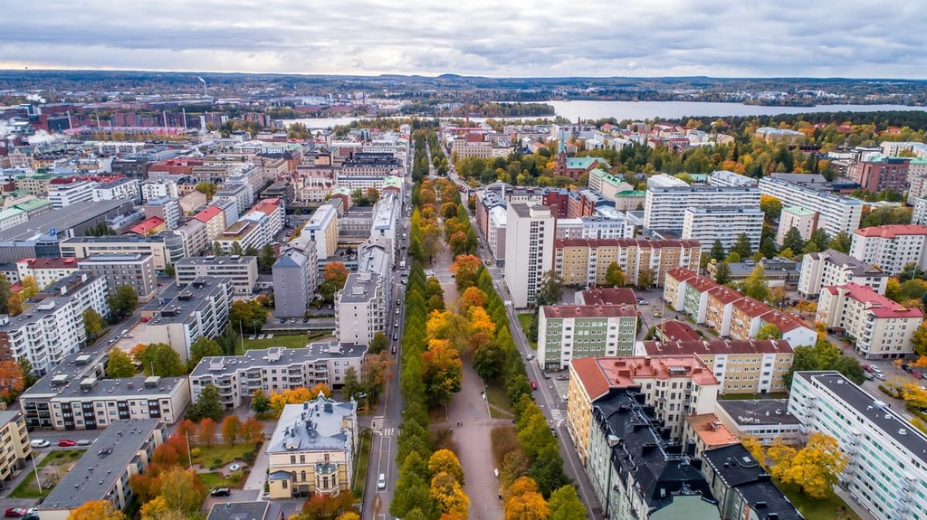
The main architectural and cultural attractions of Tampere are the Finlayson Factory for the production of cotton products for home, located on the banks of the Tammerkoski River rapids; Näsinneula Observation Tower and the Särkänniemi Amusement Park around it; and the Moomin Museum about Moomins, a fairytale characters created by Finnish author, Tove Jansson — the only one such a museum in the world.
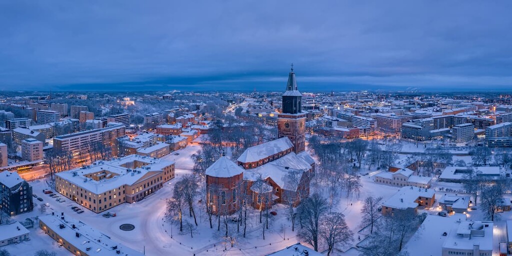
Turku was Finland’s first capital but it is now the third-largest city in the country and the gateway to the Archipelago Sea.
The number one attraction of Turku is Turku Castle, which dates back to the thirteenth century. It is a true medieval castle where the Finns ruled the state before the capital was moved to Helsinki. Now it houses a museum of the history of Turku and the region.
These are four small towns and popular tourist resorts, which, however, are almost unknown outside of Finland. They are all located on the shores of the Baltic Sea. They can be visited just as I listed them—one after the other, or—better yet—choose one and stay there for some time to explore it in more depth:
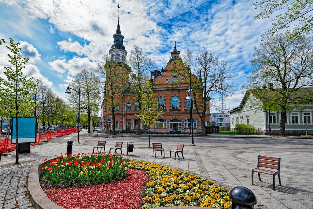
Seinäjoki, a city located inland, is in some ways similar to the others in the province. For example, it hosts three of the biggest music festivals in the country: Provinssirock, Vauhtiajot, and Tangomarkkinat.
Other attractions include Alvar Aalto’s Cultural and Administrative Center, which was named after the most famous Finnish architect and consists of City Hall, library, theater, Lakeuden Risti Church, and two other buildings. The exhibition at the central railway station built in 1883 introduces the Finnish transport system.
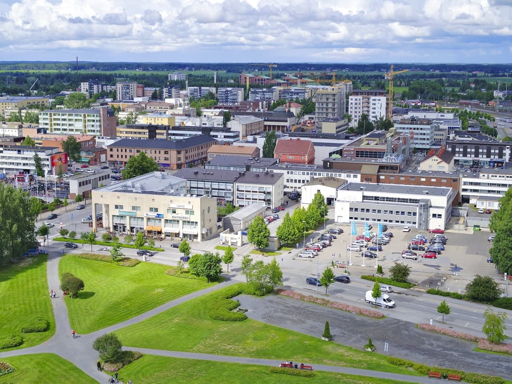
Jyväskylä stands apart from the rest of the cities of the former province of Western Funland. Just like Tampere because it is located on the lakes and is well-known as the geographical, architectural, educational and technological center of Finland.
Elias Lönnrot, the author of the Finnish national epic, the Kalevala, nicknamed the city the “Athens of Finland.” There are also many works of Alvar Aalto in the city, such as the Museum of Central Finland. You can learn more about the architect himself at the Alvar Aalto Museum. The city also contains the famous IT-Hub and its namesake university.
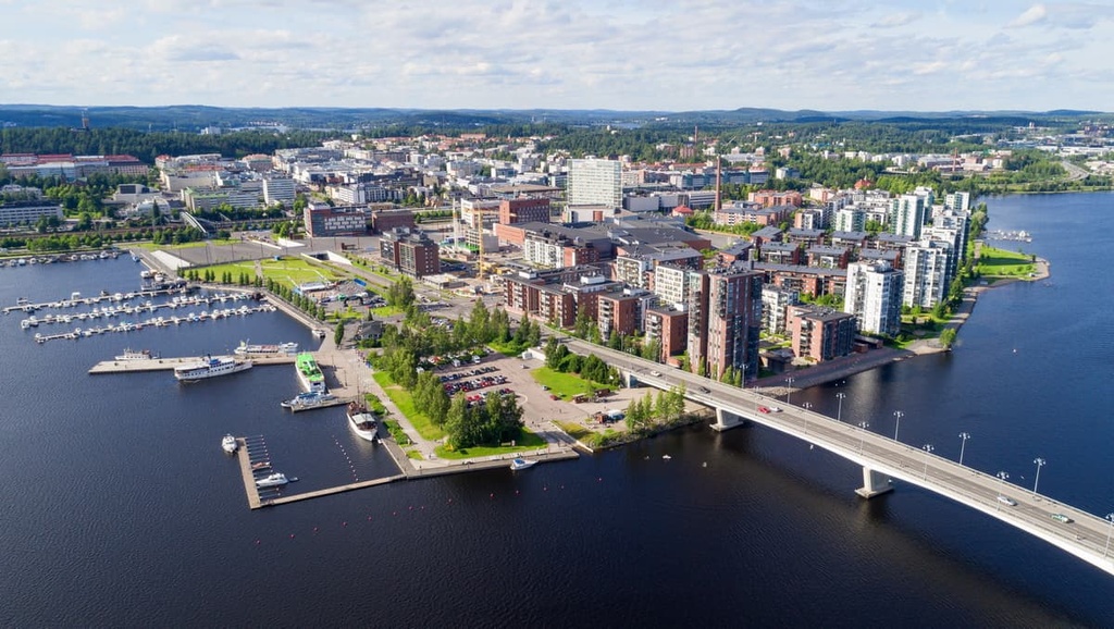
Explore Western Finland with the PeakVisor 3D Map and identify its summits.


