Scan the QR code and open PeakVisor on your phone
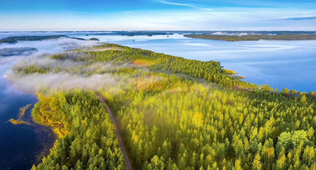
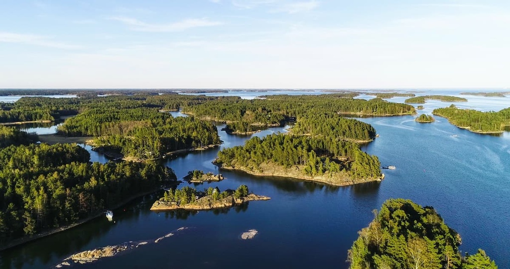
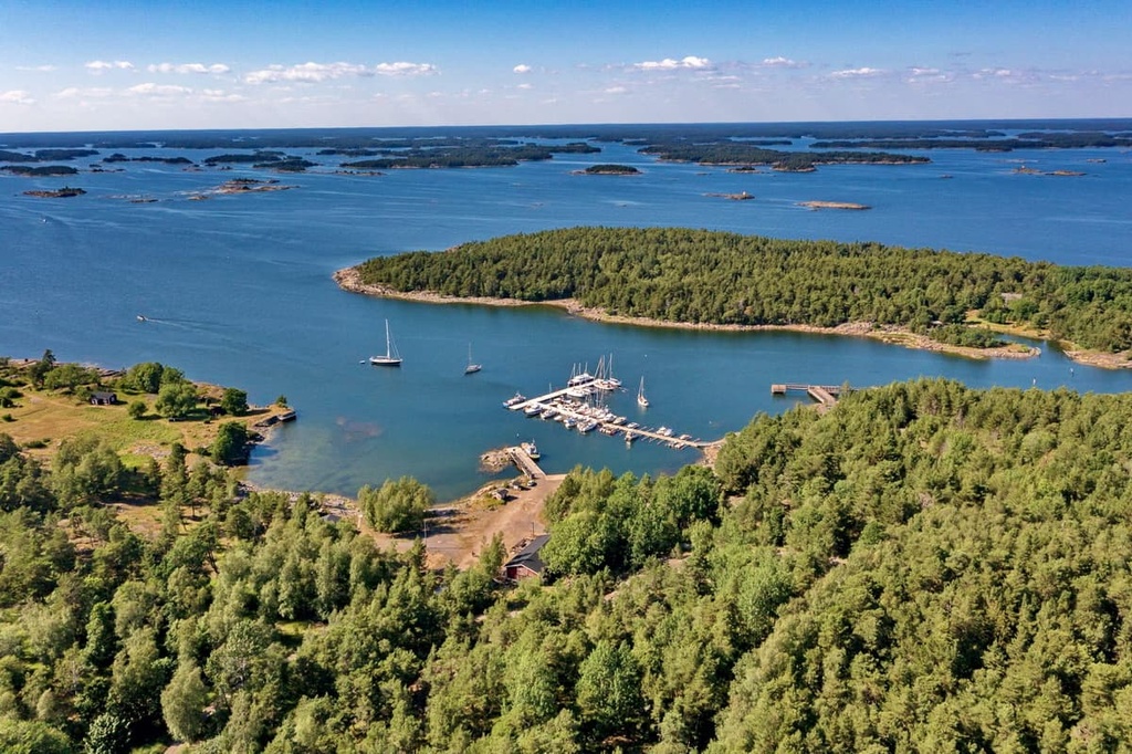
Southern Finland is one of the six former provinces of Finland. It existed from 1997 to 2009 but it has since been broken up into five smaller counties. The main feature of Southern Finland is Helsinki, which is one of the greenest cities in the world. The region also has a long coastline on the Baltic Sea as well as many islands and lakes. There are 1761 named mountains in Southern Finland, the highest of which is Tiirismaa (223 m / 7321 ft), and the most prominent of which is Kammiovuori (221 m / 725 ft).
The name of the former province of Southern Finland (Etelä-Suomen lääni) comes from its location in the very south of the country. Because the name ‘Southern Finland’ describes the region quite well, it’s still used to refer to the area, even though the province itself no longer exists.
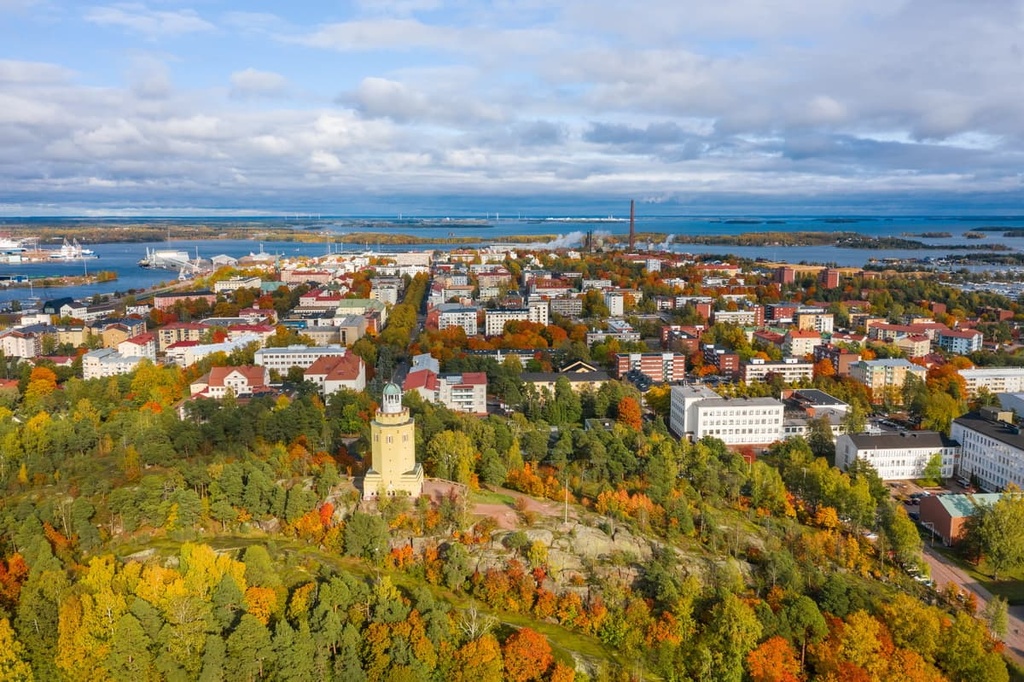
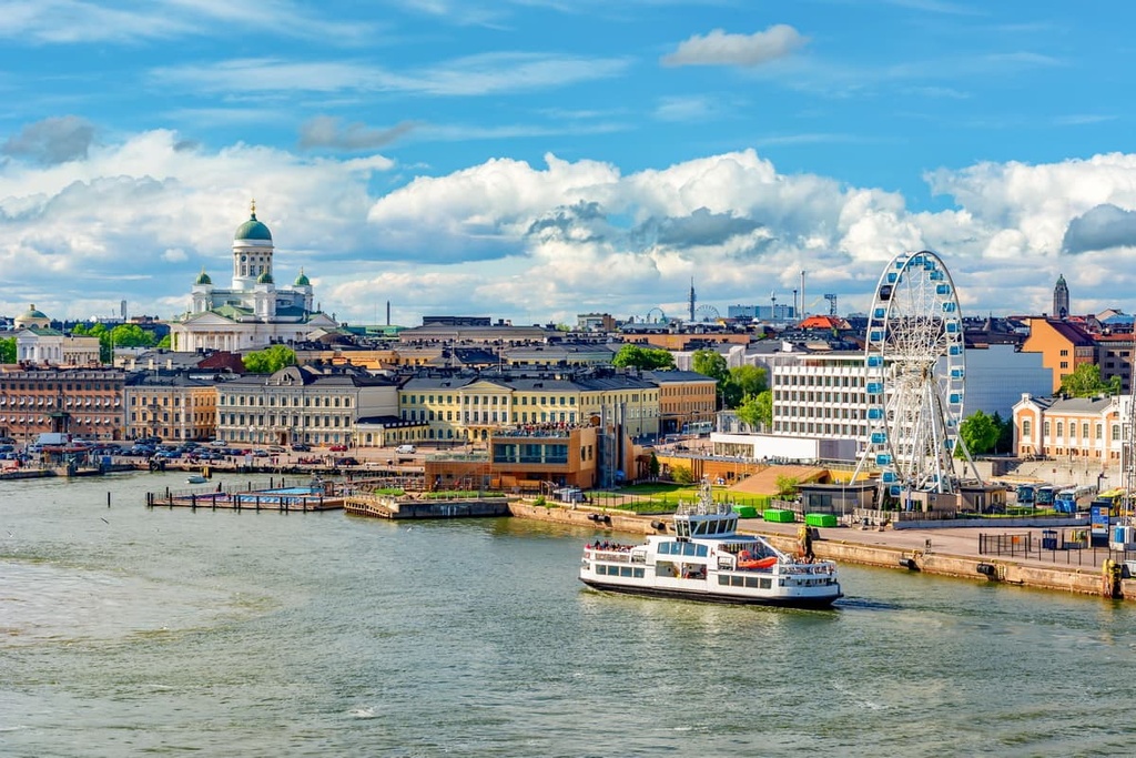
Southern Finland is the center of life in the country. It is home to the country’s capital and largest city, Helsinki, which, when considered together with the suburbs of Espoo and Vantaa, covers an area of 3,697 sq. km (1,427 sq. mi) and has a population of 1.5 million people out of 5 million in the entire country.
The former province included five smaller areas. These smaller areas and their largest cities were Uusimaa (Helsinki), South Karelia (Lappeenranta), Päijät-Häme (Lahti) and Kanta-Häme (Hämeenlinna), and Kymenlaakso (Kotka and Kouvola).
If you look at an old map of Finland, to the west, north, and east, the province is bordered by the former provinces of Western Finland and Eastern Finland or Lakeland. It also bordered the Vyborg District of the Leningrad Oblast in Russia. To the south, the former province bordered the Gulf of Finland on the Baltic Sea.
Southern Finland can be reached by all available modes of transportation. This includes by plane from anywhere in the world, by ferry from Sweden, Estonia, and Russia; and by car, train, or bus from Russia. In fact, the distance between St. Petersburg and Helsinki is just 400 km (248 mi).
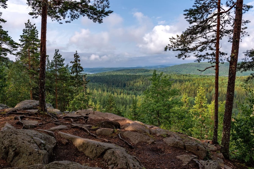
Given the lack of true mountain ranges in Southern Finland, we’ll simply describe some of the region’s most important high points here.
The more than 1,700 peaks in the former province of Southern Finland are distributed as follows:
This makes Kymenlaakso the most mountainous area in Southern Finland; however, the former province’s highest peaks are located in the Päijät-Häme region. This includes two of the tallest peaks in Southern Finland, Tiirismaa and Kammiovuori, the latter of which is also the most prominent in the former province.
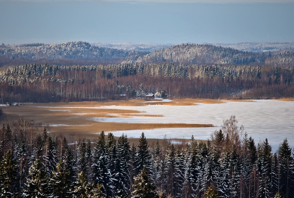
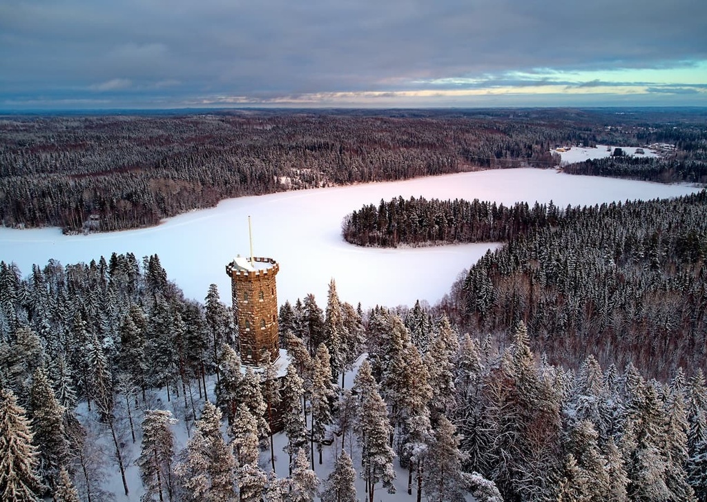
Tiirismaa (223 m / 731 ft) is the highest peak in Southern Finland. It can be found slightly to the north of the town of Hollola, approximately 10 km (6.2 mi) from Lahti.
There's a marked hiking trail that leads to the summit of the mountain, from where you can have a great view of the surrounding area. This includes vistas of the giant Vesijärvi Lake, which is home to the city of Lahti. The summit is also famous because of the very tall spire-like television tower that sticks out above it.
You can also make a loop around the hill of Tiirismaa by taking another trail that’s 4.9 km (3 mi) long.
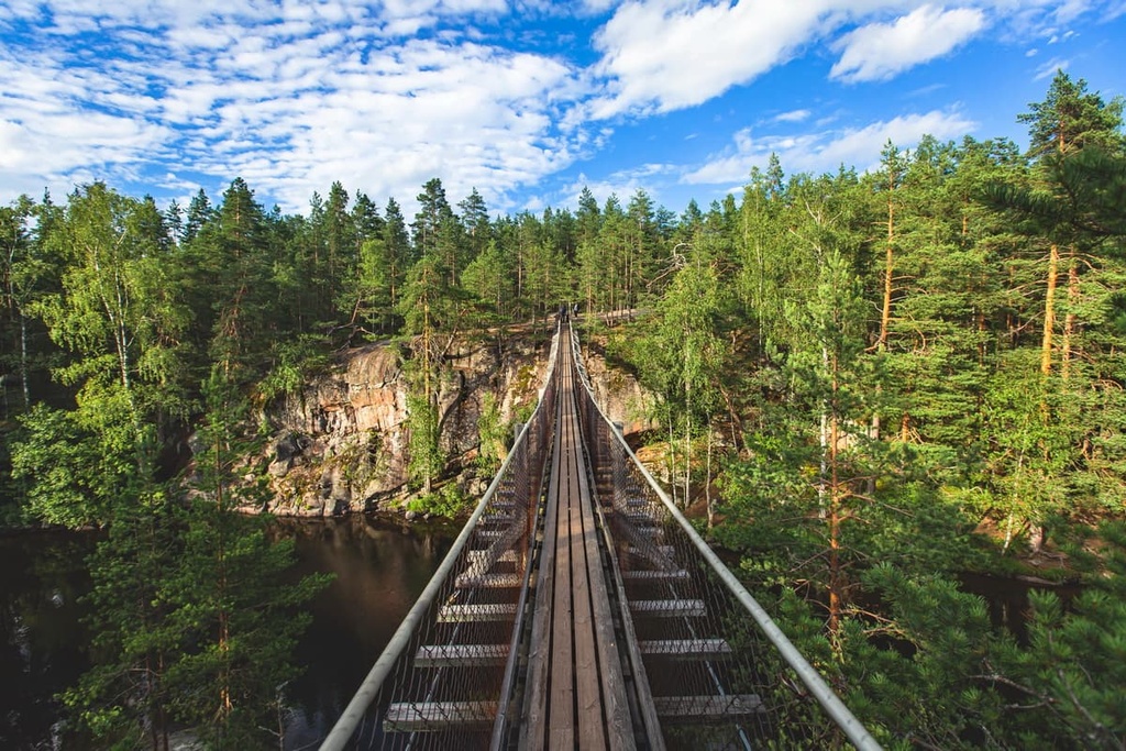
The main feature of this trail is Pirunpesä Gorge, which is also known as Devil's Nest. It is a gorge that cuts through the quartzite rock of Tiirismaa, and it is one of the most spectacular natural formations in the province.
The whole area is also part of the Pirunpesä Nature Reserve. It is part of the Natura 2000 Network, and it features many very old trees that feature beard moss and lichen.
Kammiovuori (221 m / 725 ft) is the second-highest peak in Southern Finland. It is known as the “roof of Sysmä village,” and it is located about 70 km (43.4 mi) from Lahti to the north. Kammiovuori is a very quiet and non-touristy part of the former province of Southern Finland.
Both the village and the hill are also great destinations for a day trip or even a weekend outing. The top of the hill offers spectacular views of the northern part of Päijänne Lake and over the region’s rugged terrain, which includes the remains of the ancient Karelieds mountains that formed almost two billion years ago.
To reach Kammiovuori by foot, you can take a 4 km (2.5 mi) long hiking trail from the town of Vintturi in the Sysmä municipality. The main features of the trail itself are the 7 m (23 ft) high glacial erratic boulder called “Linta” and Hiskia’s Cave, a cave-like space between other large boulders. Kammiovuori is also one of the sites in the Salpausselkä Geopark.
There are more than two dozen major hiking areas in the former province of Southern Finland. Here is a list of the best hiking areas and the longest hiking trails in each location.
There are seven national parks in the former province of Southern Finland. These parks and their most popular trails include the following:
The former province of Southern Finland is home to one geopark, namely the Salpausselkä UNESCO Global Geopark. It features several trails of different lengths.
There is only one national hiking area in the former province of Southern Finland: the Evo Hiking Area.
In this area, you can find the Ilvesvaellus Hiking Trail Network (70 km / 43.4 mi), which was established in 1987. It was created for hiking and other recreational use on lands controlled by the City of Hämeenlinna, Häme University of Applied Sciences and Metsähallitus, and the Finnish Forestry organization.
Southern Finland is home to the Aulanko Nature Reserve. In the reserve, you can find the Aulangonjärvi Lake Trail, which is 7 km (4.3 mi) long.
Southern Finland’s Heinola National Urban Park features several trails of different lengths. It boasts a diversity of beautiful gardens and is easy to access via public transport.
There are a number of important historical sites in Southern Finland that are worth checking out, even if they don’t have as many trails as a national park. These include:
Southern Finland definitely loses out to the north and even the east of the country in terms of ski resorts because of the lack of high mountains in the region.
However, there are also about a dozen ski resorts with hills up to 222 meters (728 feet) in the former province, the largest of which is located in Lahti and is called Messilä. This is the most famous ski center in Finland. It is typically where the Finns organize international ski events and where Finnish skiers prepare for competitions.
It has the following statistics:
Messilä offers night skiing on its ski trails and it even has two terrain parks for snowboarders and skiers to enjoy. There are two restaurants on the mountain as well as a ski school and modern ski rental facilities.
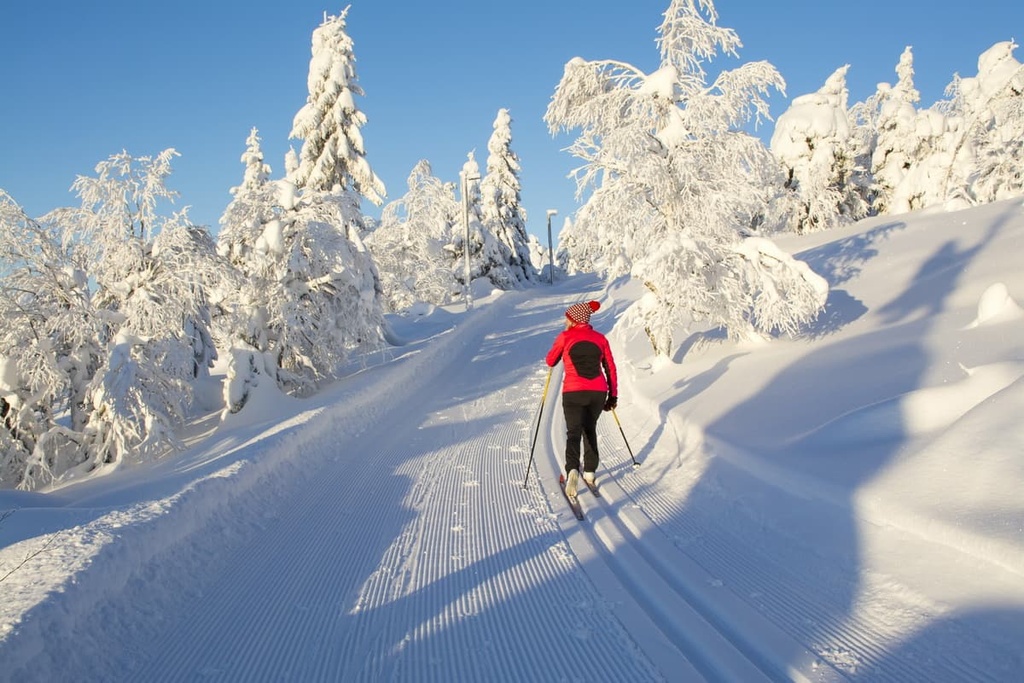
In addition to alpine skiing at Messilä, there are cross-country skiing opportunities available throughout Southern Finland. You can sometimes find maintained cross-country tracks at the resorts in the region and in some of the trails around towns and villages.
For example, in Messilä, there are 70 km (43.4 mi) of cross country ski tracks (some of which are illuminated for night skiing).
Here is a list of the other major ski resorts in the southern part of the country and the total length of all the slopes at each resort:
You can learn more about skiing in Finland at the World Mountains Lifts section of PeakVisor.
When you arrive in Finland, be sure to visit the official Tourist Point that’s located in the main railway station in the city center of Helsinki to get more practical information about the city and the Southern Finland region.
Helsinki Tourist Information
Kaivokatu, 1, 00100, Helsinki, Finland
Daily from 9 am to 4 pm
+0931013300
In Finland’s national parks, which are the main natural areas for hiking in the country, you can stay overnight in one of several types of accommodation:
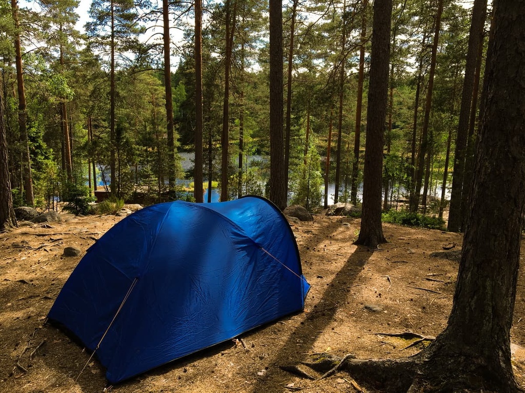
For example, Nuuksio National Park has twelve tent camping sites, including some for the locally famous activity of tree camping. Tree camping involves using tents from the British brand Tentsile. These tents attach to trees and let you sleep suspended off the ground. You can try tree camping at the Tentsile Experience Green EcoCamp Nuuksio.
For those who search for more comfort during their adventures, there are two rental huts available in the Oravankolo and Tikankolo areas. However, you will need to book these huts well in advance.
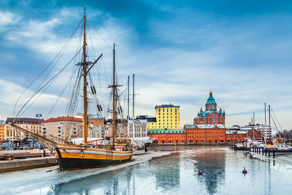
The largest city in Southern Finland is its capital, Helsinki. Despite this title, it is mostly a quiet and comfortable city for traveling and living, with no heavy traffic and plenty of parks and various public spaces.
Although Helsinki might be considered a small city by international standards, we recommend spending at least a week there if you want to see all the city’s major architectural, cultural, and, of course, natural attractions. The beauty of the city is that all these different features successfully coexist with each other.
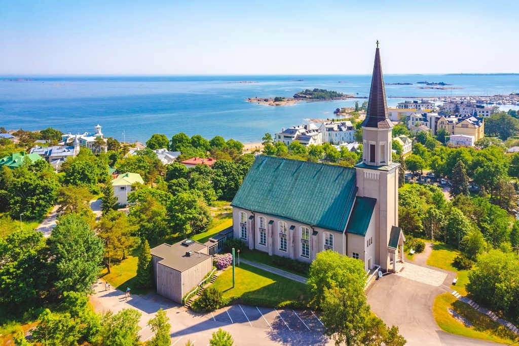
And yet, if the city seems too busy for you, there are plenty of nice smaller towns to check out, too. For example, one of the main resorts in the vicinity of Helsinki is a small fishing town called Porvoo that’s famous for its wooden boat garages, which are painted in the famous Scandinavian red color.
If you travel from Helsinki to the seaside, there is a popular place among locals for recreation on the Porkkalanniemi Peninsula. You may see it from the airplane if you fly to the country from the south. It is a popular bird-watching destination during the spring migrations of different bird species.
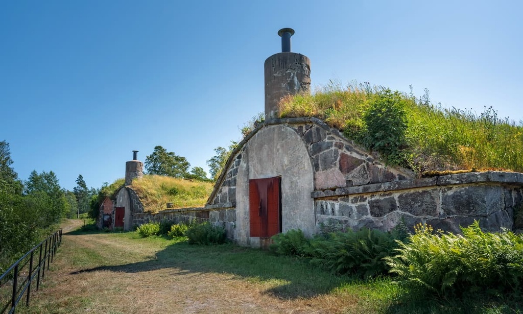
Another similar seaside place in the region that’s worth a mention is Hanko. Hanko is also the name of the peninsula where the town is located. It is the southernmost tip of the country and it is located right next to the Ekenas Archipelago.
There are over 90 small islands and islets within the city limits of Hanko. The city is a former military base, though it is now a seaport with many other attractions. The town has a coastline of 130 km (80 mi), of which 30 km (20 mi) are sandy beaches.
Similar alternatives can be found in all other major cities in the Southern Finland region after Helsinki: Hämeenlinna–Valkeakoski, Lahti–Heinola, Kotka–Hamina, Kouvola–Anjalankoski, Lappeenranta–Savitaipale.
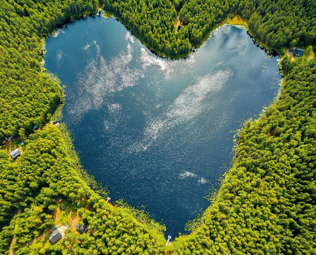
Most of these cities are located on large lakes (except Kotka on the Gulf of Finland and Anjalankoski on the Kymi River), which means that they have plenty of nature to offer the intrepid trekker.