Get PeakVisor App
Sign In
Search by GPS coordinates
- Latitude
- ° ' ''
- Longitude
- ° ' ''
- Units of Length

Yes
Cancel
❤ Wishlist ×
Choose
Delete
Teijo National Park is one of Finland’s 41 national parks, which is located in the Southwest Finland region. The main feature of the park is a series of historic ironworks villages in the peaceful landscape of lakes and forests. It is also the third newest national park in Finland opened in 2015 after Hossa (2017) in Kainuu and Salla (2022) in Lapland. However, in 2021 it has already been visited by 104,700 people, which immediately made it the 11th most visited national park in the country. It also rounds out the list of parks with more than 100,000 visitors a year. The park can be explored on marked hiking trails totaling over 50 km (31 mi) There are 9 named mountains in Teijo national park. The highest and most prominent mountain is Vuorkasovuori (79 m / 259 ft).
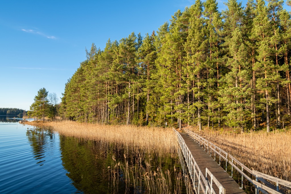
The Teijo National Park gets its name from the nearby village of Teijo, one of the three historic ironworks settlements of the Southwest Finland region, which is something like Finland’s New England, from which the country originated, if you compare it to the United States. Two others are Kirjakkala a few km (mi) to the north of it and Mathildedal to the south.
Since 1688, in this area (but not only here, there are other places in the region and the country), Finns mine and process metal, and produce from it various industrial and household products. I say it in the present tense because Teijo Foundry is one of the few historical plants in the country, which is still engaged in metal production.
In turn, the word Teijo is a popular name in Scandinavian countries, perhaps a modified version of Thor, the chief Scandinavian god of thunder and lightning.
The name of the park in Finnish is Teijon kansallispuisto, and in Swedish: Tykö nationalpark.
The park, including all three villages, is located on the eastern shore of Halikonlahti Bay, which belongs to the Baltic Sea. It is probably the longest bay of the Archipelago Sea, the world’s largest cluster of more than 50,000 islands, which is also the national park of the same name. The bay is the final part of a series of bodies of water that extend inland for an incredible 60 km (37 mi).
In terms of size, Teijo itself is not the biggest, but not the smallest of all the Finnish national parks, with 33.85 sq km (13 sq mi). Still, it is larger than several more famous parks, such as Koli in North Karelia, Isojärvi in Central Finland, Repovesi between Kymenlaakso and Southern Savonia, Päijänne in Päijät-Häme, and others.
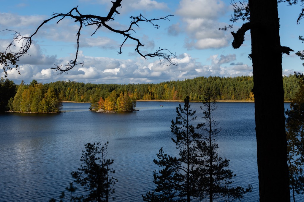
Other main features of the landscape of the park, apart from the forests and mountains, which I will discussed next, are four large lakes with high rocky picturesque shores: Matildanjärvi and Puolakkajärvi in the south and Hamarijarvi and Sahajärvi in the north of its territory. But there are dozens of times more small bodies of water.
The park also includes the large island of Isoholma in Halikonlahti Bay, just south of the village of Teijo.
The nearest city to Teijo National Park is Salo, which is about 70 km (43 mi) from Turku, the third largest city in the country after Helsinki and Tampere. Accordingly, you can get to the park by car or bus from Turku, and the city itself can be reached by train from Helsinki and Tampere, or directly by plane from other countries. Turku is also connected by a regular ferry service to Stockholm in Sweden.
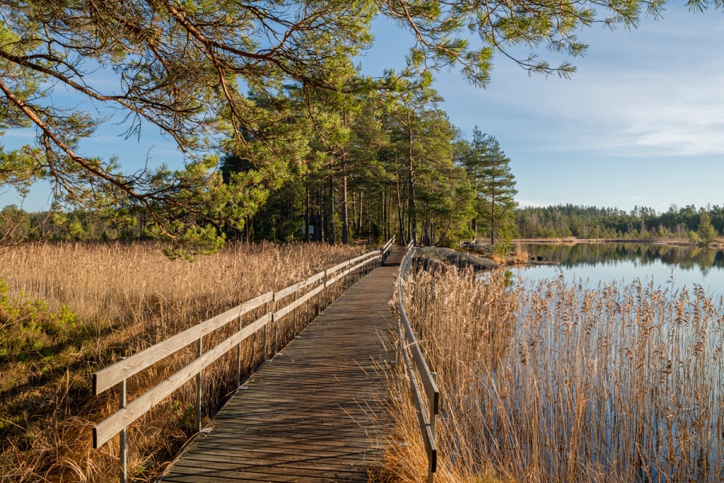
Teijo National Park is covered mostly by pine forests in its higher elevations and spruce forests in its lower elevations. Some of them are old-growth forests, indicating that they have not been influenced by humans. But there are also mixed forests with birch, aspen, linden, and other trees.
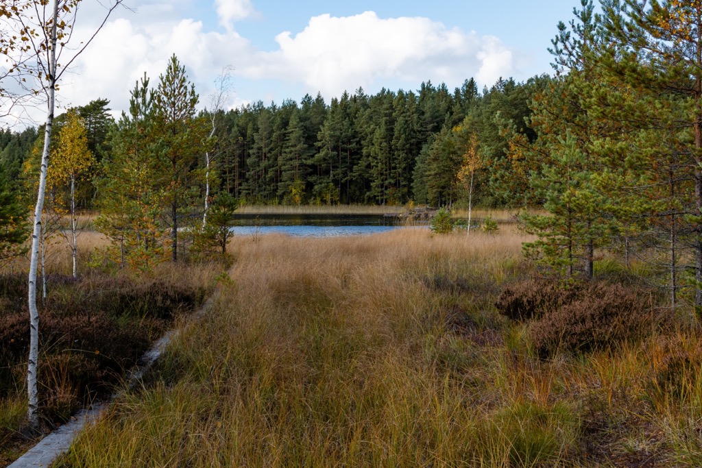
The park also has a large number of bogs where plants such as marsh tea and bog bilberry grow, as well as eutrophic fen, which is almost extinct in Southwest Finland. Its varieties include dioecious sedge and common yellow sedge, cotton deergrass and marsh arrowgrass, bog pondweed, and others.
The main animal of the park, featured on its emblem, which all national parks in the country have, is the grey-headed woodpecker. It inhabits Teijo in large numbers (3,000–4,000 pairs in Finland in total) and is not hard to find primarily by the sound of its beak penetrating the soft bark of trees, which is how it gets its food. Next, look closely at the place where the sound comes from. Its greenish plumage on its predominantly gray body will also help you find the woodpecker.
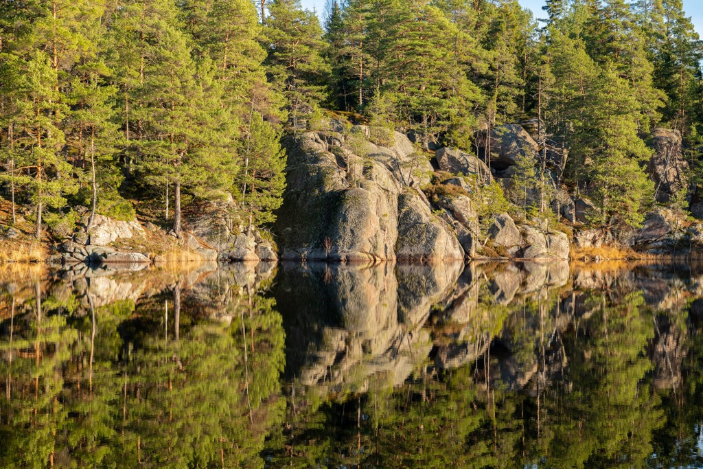
In the park you may also see some mammals such as moose, white-tailed deer and roe deer, and even the lynx. However, the latter is more rare than others.
Finally, and of course, Teijo has many fish species, which are found in many lakes of the park. Perch and pike, and freshwater crayfish are three of the most common. Fishing is generally allowed in most places in Finland, even in the national parks and on their borders for sure, but you should check the local regulations before attaching a fishing rod to your backpack. You can find them under the Instructions and Rules section on the park's official website.
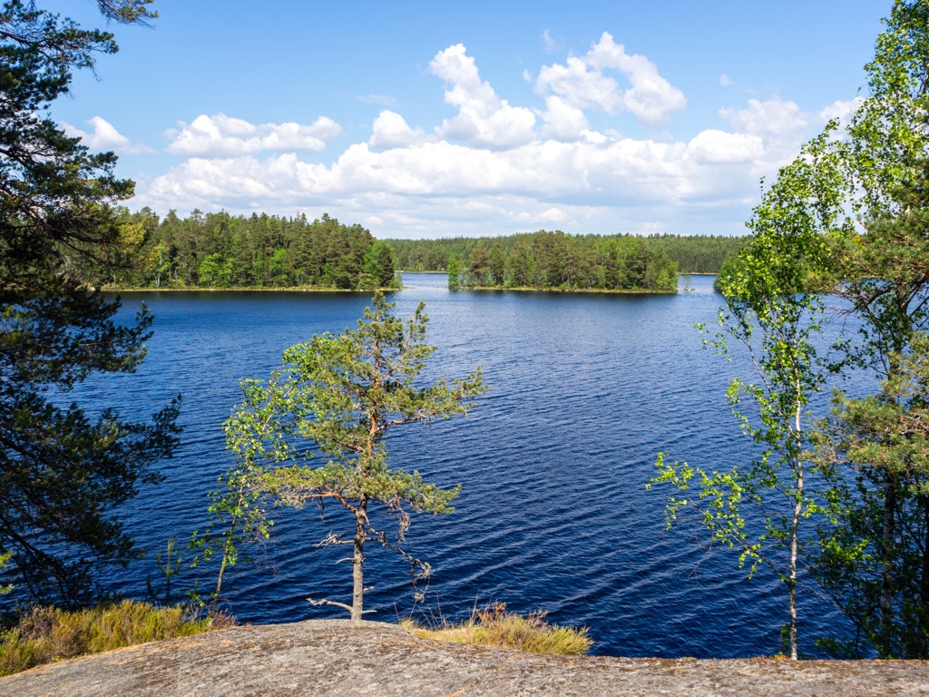
Teijo National Park is one of the most mountainous parks in all of Southern Finland, which generally does not feature many mountains, especially high ones. In particular, the park has 9 named mountains, starting with the highest and the most prominent peak Vuorkasovuori (79 m / 259 ft), located west of Hamarijarvi Lake, the largest in the northern part of the park.
However, there are two other more famous mountains of Teijo. The first one is Nenustannokka (70 m / 229 ft), which is located east of the same lake. There is a marked 3.6 km (2.2 mi) Nenusta circular trail to its summit, so the mountain is the best viewpoint in the entire park with views of the lake and surrounding forests. The second one is Nikkallio (72 m / 236 ft) to the north of the lake, which is also an excellent viewpoint that can also be accessed via the 4 km (2.4 mi) Onnelannummi trail.
In other words, all three of the most important peaks of the park are located in one area and you can climb all of them. Both of these trails can be accessed from the longer trails, which I will tell you about in the next section.
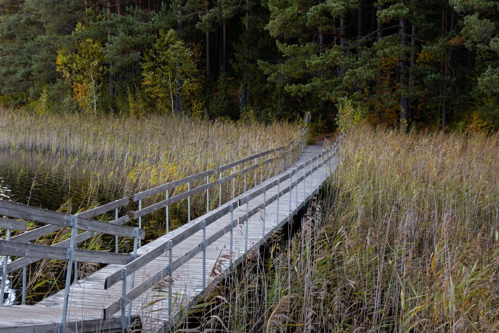
There are about 50 km (31 mi) of marked hiking and biking trails in Teijo National Park, which are divided into more than a dozen circular routes ranging in length from a couple of kilometers (miles) to a couple of tens kilometers (miles) for convenience. So here they are:
Teijo National Park also features a large number of biking routes. In the Finnish national park like this one, this means fairly wide gravel or unpaved forest roads. In particular, two routes with a total length of 10 km (6 mi) are also located in the southern part of the park, and another longer one stretches along all its western borders about midway between the lakes and the bay, coinciding with a road that is not too busy. The same road takes you to the northernmost part of Teijo, where you can follow the circular Onnelannummi Trail with a climb to Nikkallio. This trail is not connected to the others.
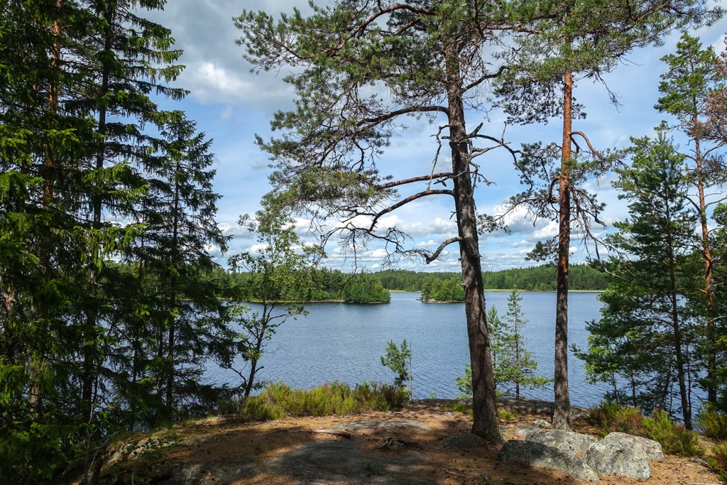
Another obvious difference between Teijo National Park and other parks in Southern Finland is that right on its territory, in the central part, is a small ski resort, Teijo Ski & Action.
At the resort there are 10 artificially lit slopes with guaranteed snow of 5 km (3.1 mi) in total (the longest slope is 640 m (2,099 ft) and 6 ski lifts with capacity of 5,200 skiers per hour, including a carpet lift for beginners and children. The resort's biggest altitude difference is 80 m (262 ft) between 7 and 87 m (22 and 285 ft). There is also 2 km (1.2 mi) of cross-country ski trails on the park's golf course but given sufficient natural snow, skiing is also possible on the Teijo park's hiking trails. There is also a snow park with streets and rails. A day-ski pass for adults cost €31 for 6 hours.
The nearest larger ski resort is Himos between Western Finland and Central Finland with 12.4 km (7.7 mi) of slopes and 16 ski lifts.
Check the Finland ski resorts map in the World Mountain Lifts section of the site. It includes information about open ski lifts / slopes in - in real-time with opening dates and hours. There are also year-round cable cars, funiculars, cog railways, aerial tramways, and all other types of mountain lifts.
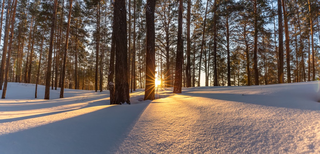
Before or after the hike through the park, visit Teijo Nature Centre, which is one of more than a dozen official such centers in the country, where you can learn more not only about this particular park, but about nature of Finland in general.
Teijo Nature Centre
Matildanjärventie, 84, 25660, Mathildedal (Salo), Finland
+358102924032
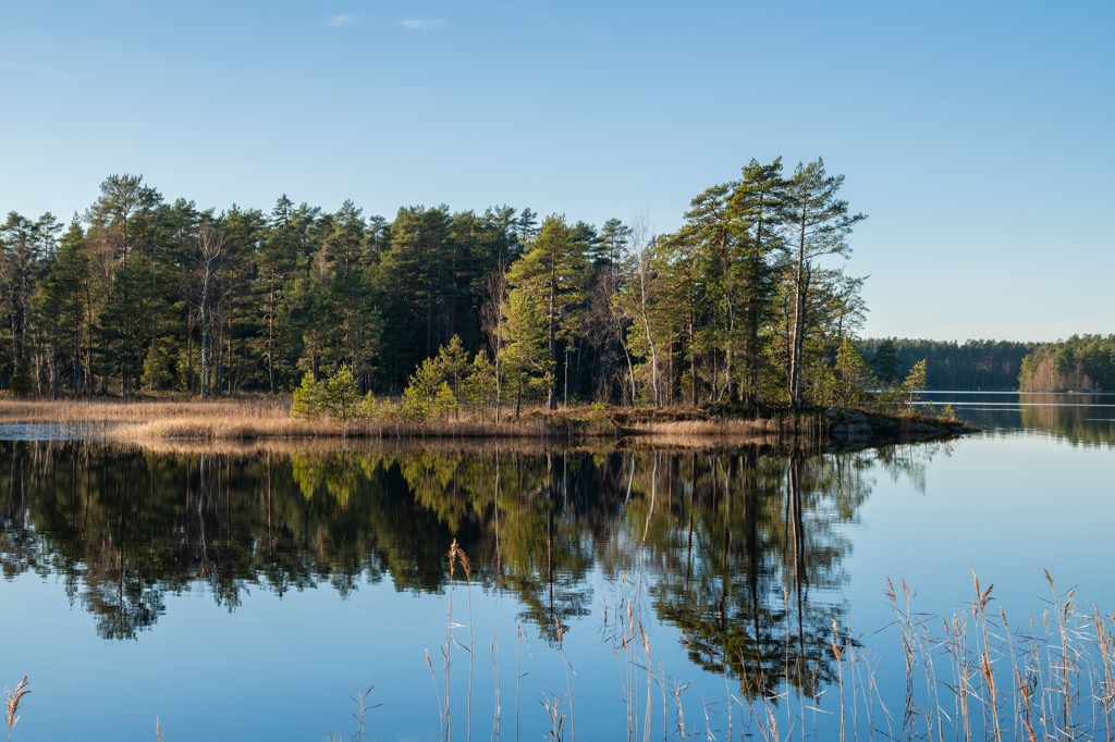
In Teijo National Park you will have no problem finding accommodation for the night or two. However, in the park, it is represented mainly by lean-to shelters, of which there are 7, including one on Isoholma Island in the bay.
This type of shelter is a deep and spacious wooden shelter, but without doors and windows, which means you can sleep in it only in warm seasons in a warm sleeping bag with a comfort temperature of at least 0…+10 degrees Celsius (+32–50 degrees Fahrenheit), and better even below zero, given that in the north the nights (and even days) even in mid-July can be cold up to +10 degrees Celsius (+55 degrees Fahrenheit) in the afternoon. It may also rain for up to a week or more. Such a shelter will be comfy for two or at most three, which may even be better in the cold because you will warm each other. But not more.
The shelters are also campfire sites where you can pitch your own tent.
At Matildanjärvi there are two wilderness cabins similar to lean-to shelters for 6 people each, as well as a larger camping site at Onnelannummi for groups of people. There are also four renovated old buildings in Kirjakkala for 2–4 people each and many other services, including even the conference hall, if you need it.
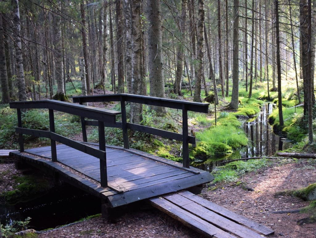
Salo is the closest city to Teijo National Park, which is located at the northern tip of Halikonlahti Bay. More than 50,000 people live in and around the city. Interestingly, it has the same name as Salo in the Alto Garda Bresciano Park on the western shore of Garda Lake in Lombardy in Italy. The name of the Finnish city means the "wooded island".
The main architectural and cultural attraction the city is Salo Market Place in the central square, which is the center of life, especially during the summer, where, as the name implies, there is a market, many cafes and mobile stores, and various events that are usually also associated with food such as Kurpitsaviikot (“Pumpkin Weeks”), which are organized every autumn. Again, it is interesting that the same thing takes place on Garda and other Italian lakes!
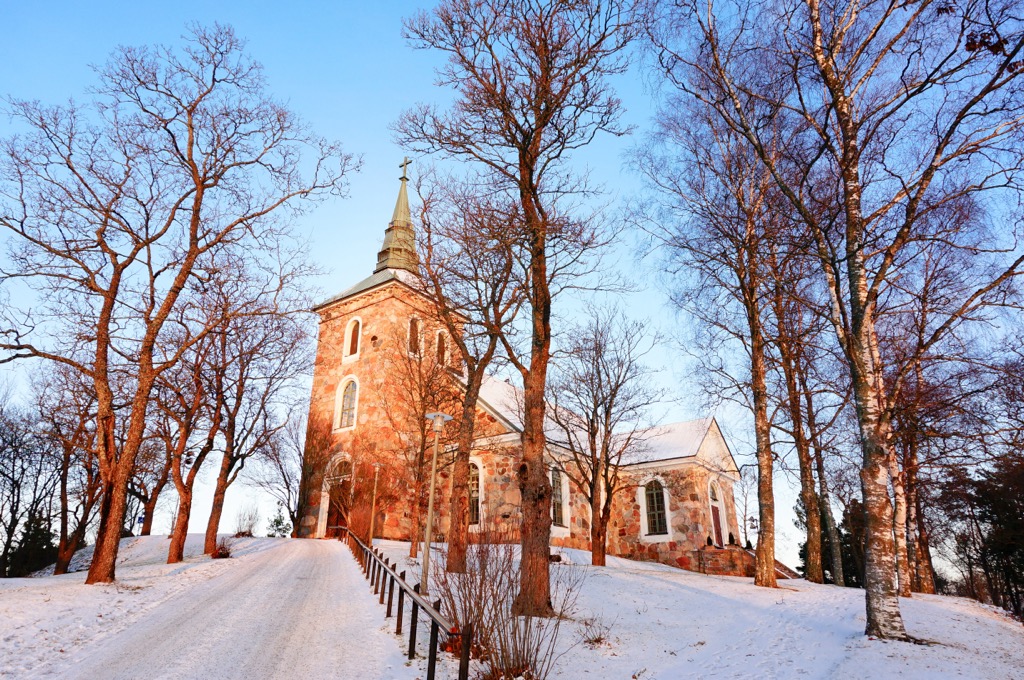
Among the city’s main buildings are the Uskela Church (Uskelan kirkko), built in 1832 by the famous Finnish architect Carl Ludwig Engel, and the Salo Art Museum “Veturitalli” (Salon taidemuseo) which displays contemporary Finnish artists.
The official tourist site of Salo is Visitsalo.fi. Check also the Tourism section on the official site of the city itself: Salo.fi/en/leisure-and-tourism.
Explore Teijo national park with the PeakVisor 3D Map and identify its summits.


