Get PeakVisor App
Sign In
Search by GPS coordinates
- Latitude
- ° ' ''
- Longitude
- ° ' ''
- Units of Length

Yes
Cancel
❤ Wishlist ×
Choose
Delete
Kainuu is one of the 19 regions of Finland, which is located in the east of the country on the border with Russia. The main feature of Kainuu mountains is that these rocky hills belonging to the Karelides are the highest in all of Eastern Finland, as well as south of Lapland. The region covered by taiga forests is also famous as the wildest in this part of the county with the large brown bear population. There is also Oulujärvi Lake—the main one in central Finland. Not least of all it is also the birthplace of Kalevala—the Finnish national epic. With all this Kainuu is one of the least touristy Finnish regions, known only to locals. In total there are 137 named mountains in Kainuu. Välivaara (379 m / 1234 ft) is the highest point. The most prominent mountain is Laatikkalanvaara (346 m / 1135 ft).
The origin and meaning of the short and beautiful name of the region are not exactly clear, but there are two popular versions:
The first version seems more correct. In one way or another, both convey a variety of geographical features of the region.
Kainuu is Finland’s third largest region (20,197 sq km / 7,798 sq mi) after Lapland and North Ostrobothnia on its northern and western borders. Together with the latter, it is also part of the larger historic province of Ostrobothnia. To the south, the region borders North Savo and North Karelia.
On an even larger scale, Kainuu is also part of Eastern Finland, one of the country’s six major provinces, which existed from 1997 to 2009 along with Western Finland and Southern Finland (the northern one is the same Lapland).
In turn, Eastern Finland is synonymous with Finnish Lakeland, one of the four major natural and tourist regions of the country along with the Helsinki area, Coast and Archipelago on the west, and—again—Lapland. Interestingly, the Finns also call this part of the region—Arctic Lakeland.
The geography of Kainuu would also not be complete without mentioning Kalevala Villages, a small district northeast of Kajaani, the region’s capital and largest city with a population of 36,498.
Kalevala is a national Finnish epic, reminiscent of the ancient Greek poems "The Iliad" and "The Odyssey" by Homer and other works of other authors.
The author of the epic is Elias Lönnrot, a Finnish physician, journalist, traveler, and explorer. Born in the metropolitan region of Uusimaa and having finished university in Turku in Southwest Finland, he got his first job as a doctor in Kajaani. From there over the next 15 years he made 11 large expeditions into the Kalevala Villages (named so after publishing the work in 1835, of course), as well as in the eponymous Kalevala District in Russia, on the opposite side of the Russian-Finnish border, which, unlike Finland, in the Republic of Karelia. There, in turn, it is twice as wide and stretches almost to the White Sea. In total, we are talking about almost 30 villages.
The collected oral stories of the locals formed the basis of “Kalevala”. During each of his expeditions, Lönnrot also kept detailed diaries and travel notes, which made another, in my opinion, not less interesting book describing the real life of the Finnish and Karelian peasants of that time, as opposed to the fiction based on myths and legends (which has a certain amount of truth too, though—otherwise they simply would not appear, as in the case of the work of Homer and so on). Except Finnish, which you probably don't know, The latter can be found in German and Russian (but not in English).
In Kainuu you can learn all about Kalevala at Kalevala Information Center “Juminkeko” located in Kuhmo in the south of the region, which together with Suomussalmi in the north makes a kind of triangle of major cities and resorts.
The main features of the region’s landscape are the Karelides mountains, Oulujärvi Lake, and Wild Taiga forests. I will tell you about the first one right next, now—a little about the other two.
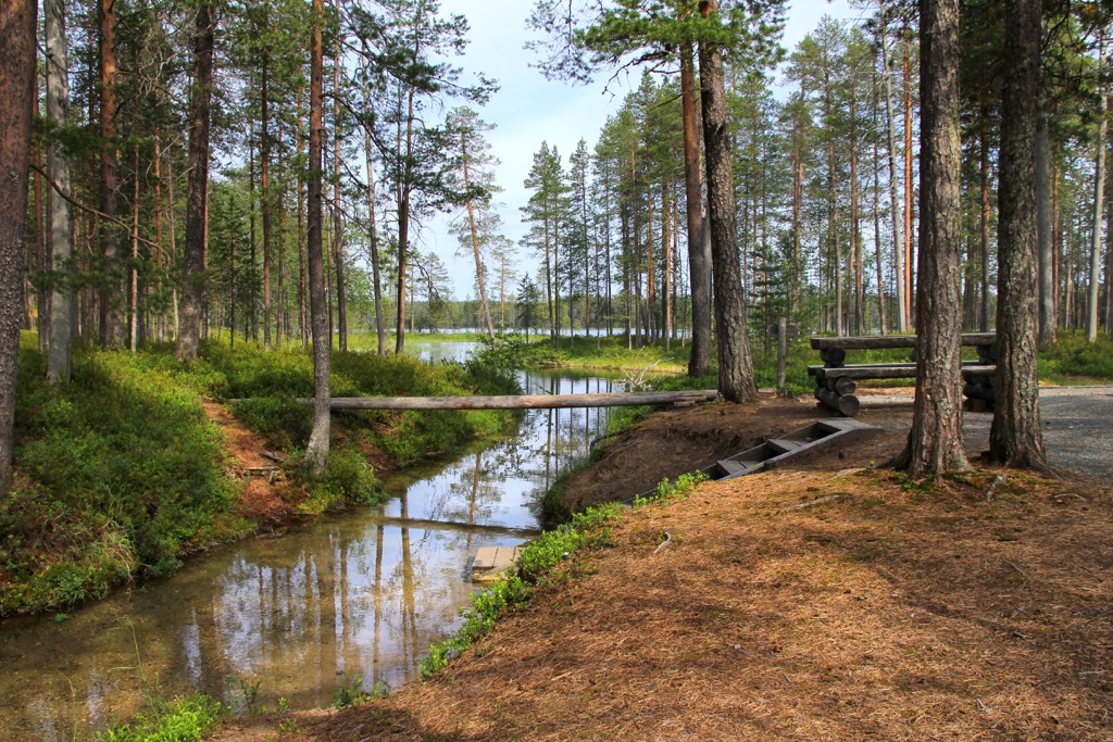
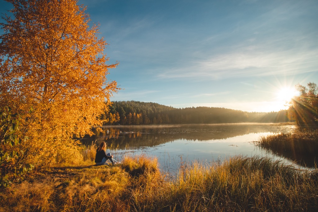
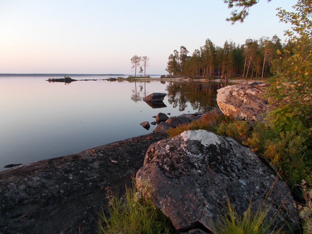
Oulujärvi is the fifth largest lake in Finland (887,09 sq km / sq mi) after Saimaa (1,377.05 sq km / sq mi), Päijänne, Inari, and Pielinen, but the largest in the geographical center of the country, so locals call it nothing less than “Kainuu Sea” or even the “Ocean of Kainuu” (and that’s the phrase from the official tourist website—yes, Finns have a great sense of humor), even though only half of the lake is located in the region, the other half in North Ostrobothnia.
The lake is named after the Oulujoki River, which I’ve already mentioned.
Wild Taiga is another unofficial name for Kainuu, which is considered one of the wildest regions of eastern (as well as all of southern) Finland, thanks to the vast untouched forests on the border with Russia with many wild animals.
In particular, you’ll find here one of the country’s largest populations of brown bears, which are distributed along the entire eastern border of the country and number from 15,000 to 2,000 animals. But, as they say, it's better to see it once than to hear it many times—for example, though on the infographic by local designer Annukka Makijarvi, if you're not going to Finland yet.
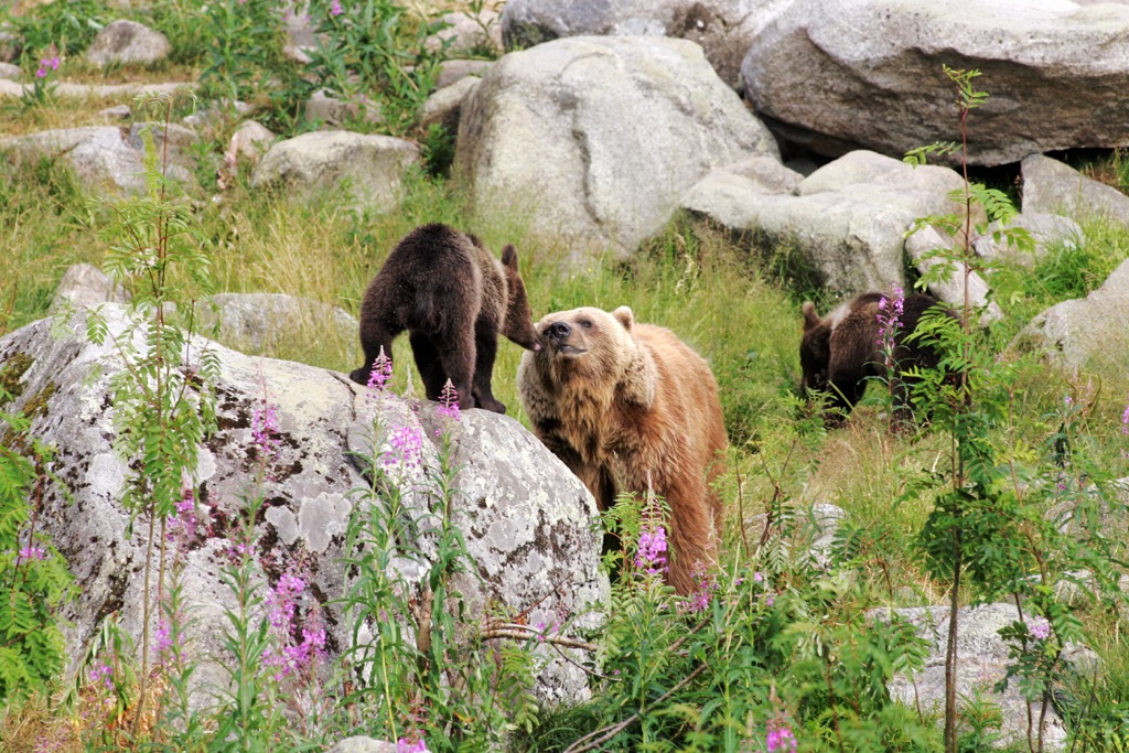
Other main large animals that can be found here are wolf, lynx, and wolverine, as well as elk and deer, which inhabit the country everywhere.
For these reasons, Kainu is also a favorite destination not only in Finland, but throughout Europe among wildlife photographers. You can learn more about bears and other wild nature of the region in Kuhmo Visitor Center "Petola", one of the Finnish nature centers.
The rocky hills in the Kainuu region belong to the nonexistent Karelides mountain range, which stretches along the entire eastern border of the country from South Karelia to Lapland. But this range once reached the height of the Alps with its highest peak, Mont Blanc, at 4808 m (15,774 ft) in the namesake Mont Blanc Massif.
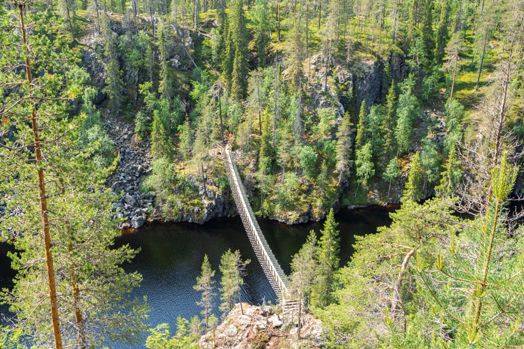
The highest peak of Kainuu is Välivaara (379 m / 1243 ft). In addition to it in the region, there are 21 other peaks higher than 300 m (984 ft), which makes it much higher than neighboring North Karelia, known for its highest point Ukko-Koli (347 m / 1138 ft) far beyond not only the region but also the whole of Finland, being one of the national landscapes and symbols of the country, thanks to the panoramic view of the lakes and forests.
But, as I said before, Kainuu in general is a much less touristy region than even Karelia, not to mention Helsinki, the coast, and Lapland. In other words, not everyone knows that Kainuu is the most mountainous region in all of southern and eastern Finland.
Going back to Välivaara, the mountain, despite the title of the highest, is almost unknown and of little interest to tourists because it is located near a wetland strict nature reserve (Luonnonsuojelualue in Finnish), away from the main tourist areas. The nearest resort is Suomussalmi in the southeast.
Nevertheless, you can still climb it following one of the trails, leading to the summit from the nearby parking lots. The nearest one is in 3 hours or 13.8 km (8 mi).
The summit is also located on the multi-day UKK Trail (Urho Kaleva Kekkonen), which also stretches along the entire east of the country, and is named after one of the main presidents of 20th-century Finland, who was himself a great hiker and fisherman. It is also worth noting that, like Elias Lönnrot, he lived and worked (as a journalist) in Kajaani for a long time in his youth before beginning an active political career. The length of the trail is 893 km (554 mi) long. It starts in the town of Lieksa in North Karelia and finishes in the village of Tulppio in the Savukoski municipality almost on the southern tip of the border of the Urho Kekkonen National Park in Lapland.
The second and third highest peaks of the region, Iso Nuottivaara (370 m / 1213 ft) and Siikavaara (368 m / 1207 ft), are located close to Välivaara.
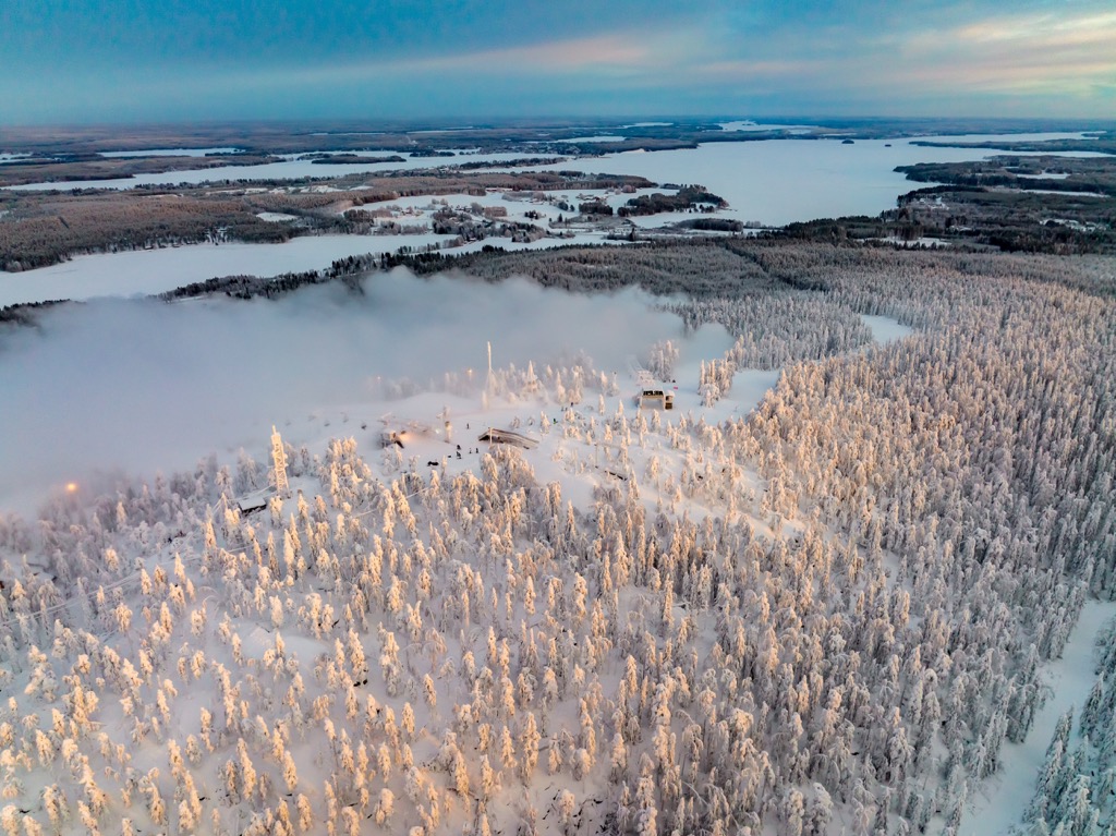
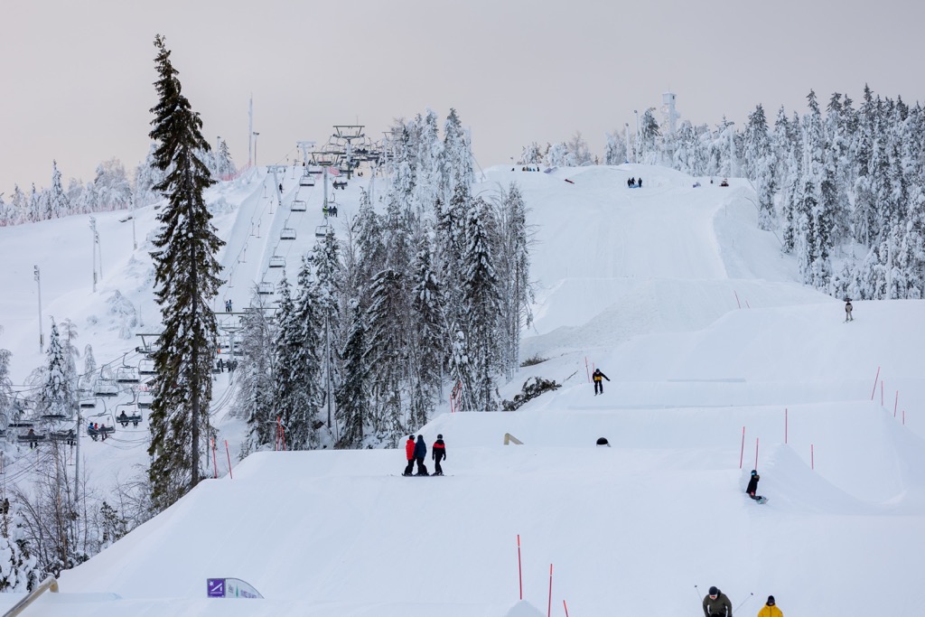
The region’s most famous peaks are three smaller mountains, namely: Vuokatti (326 m / 1069 ft), Paljakka (270 m / 885 ft), and Konivaara (166 m / 544 ft), which are home to three small but important ski resorts for the region that attract far more people than mountains in the middle of the wilderness even if they are higher.
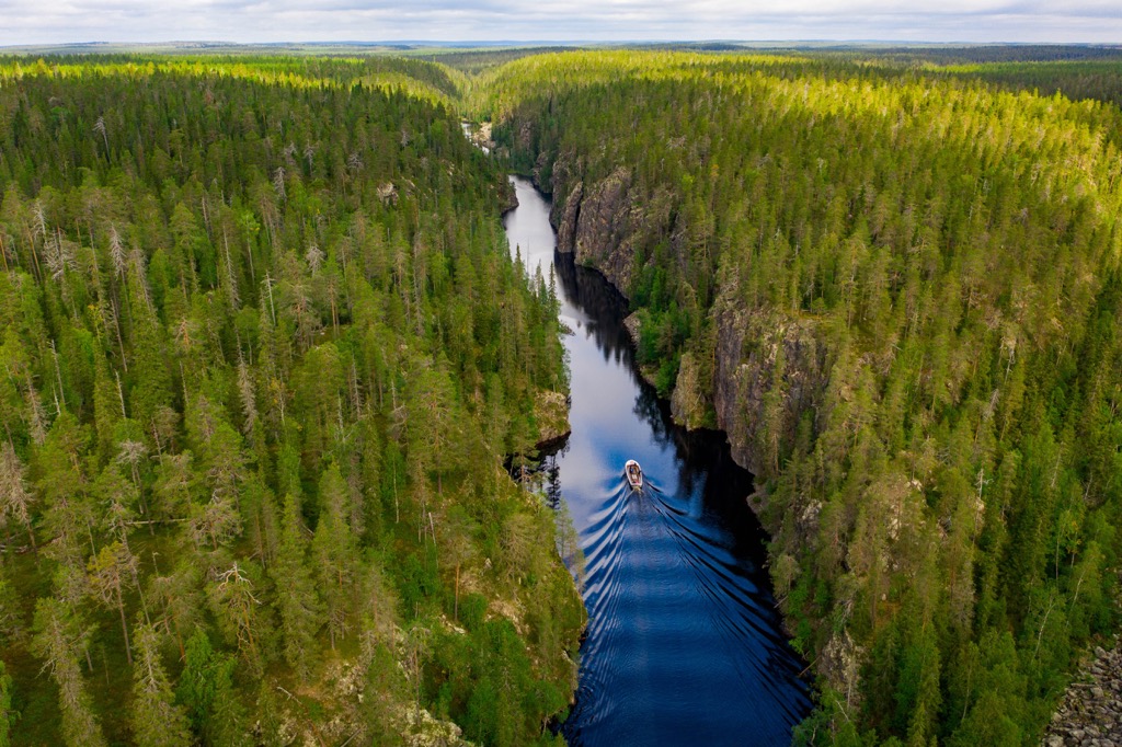
Another very popular mountain in the region of Kainuu is Värikallionvaara (288 m / 944 ft)—a series of huge granite cliffs on both sides of Julma-Ölkky Canyon Lake. On the rocks you can also find rock paintings of the New Stone Age, so they are at least 4000 years old. The cliffs are located in Hossa National Park.
Hiidenportti Gorge with its vertical rock walls similar to Julma-Ölkky as well as Kovasinvaara (256 m / 839 ft) in Hiidenportti National Park is less known but no less attractive.
Otherwise — and this is another of Kainuu's advantages—the peaks are evenly distributed throughout its territory, except for the flatter areas in the center of the region. This means that wherever you go in it, you’ll find mountains. The lowest of them, Otanmäki (140 m / 459 ft), is also noticeably higher than the peaks of many other Finnish regions.
Several major natural areas are available for hiking in Kainuu, each with marked hiking trails of varying lengths.
First, there are two of the country's 41 national parks: Hossa National Park and Hiidenportti National Park. Their longest trails are Kokalmuksen Kierros Trail (14 km / 9 mi) and Kitulankierros Trail (10.5 km / 6 mi), respectively. In the first park, there is also the Hossa Visitor Center—another of the Finnish nature centers with an extended exhibition.
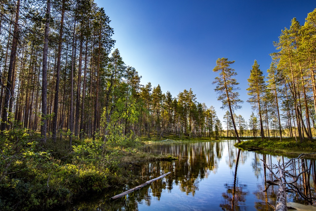
The second is Oulujärvi National Hiking Area with less difficult terrain and therefore more suitable for families with children, located on the lake of the same name—sorry, the Kainuu Ocean. The total length of trails in the area is 17 km (10 mi).
Thirdly, as elsewhere in Finland, you can just wander anywhere, camp, and collect the gifts of nature, even in private areas, following the "Everyman's Right" law.
Two of Kainuu's three relatively small ski resorts are named after the main peaks, on which they are located: Vuokatti Ski Resort (10.8 km / 7 mi of slopes and 7 ski lifts) and Paljakka Ski Resort (11.5 km / 7 mi of slopes and 6 ski lifts). The third, located on Konivaara is Ukkohalla Ski Resort (13.1 km / 8 mi of slopes and 5 ski lifts). As you can see, in total they have more than 30 km (19 mi) of slopes and almost 20 ski lifts, which is not bad at all for a skiing fan. In other words, given the relatively small size of the regions, during a 3–5 days trip you can manage to ride all of them.
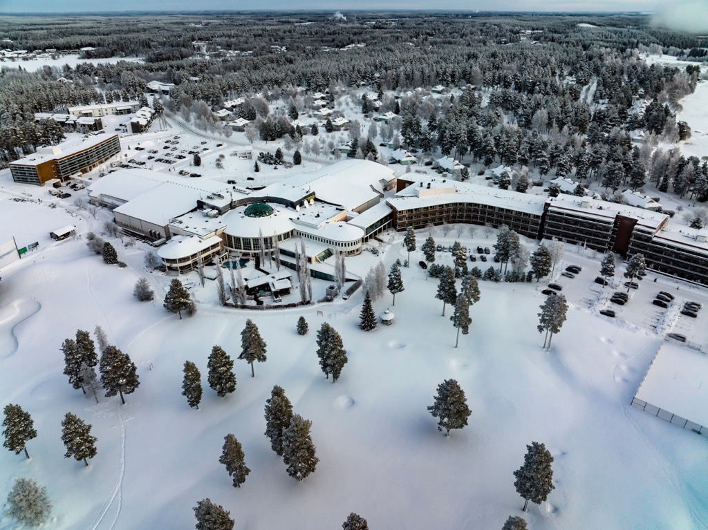
The nearest larger standalone ski resort is Ruka (19.1 km / 12 mi of slopes and 21 ski lifts) located not far in neighboring North Ostrobothnia and is one of the premier ski resorts in the entire country.
Learn more about Finland's ski resorts at the World Mountain Lifts section, including open and closed slopes and ski lifts in real time.
Before and after the hike, visit the region's official tourist office, located in its capital, Kajaani, to pick up a paper map and buy souvenirs, ask for advice, and so on.
Kajaani Tourist Information
Pohjolankatu, 13, 87100, Kajaani, Finland
Monday to Thursday: 8 am to 16 pm, Friday: 9 am to 15 pm
+358861552555
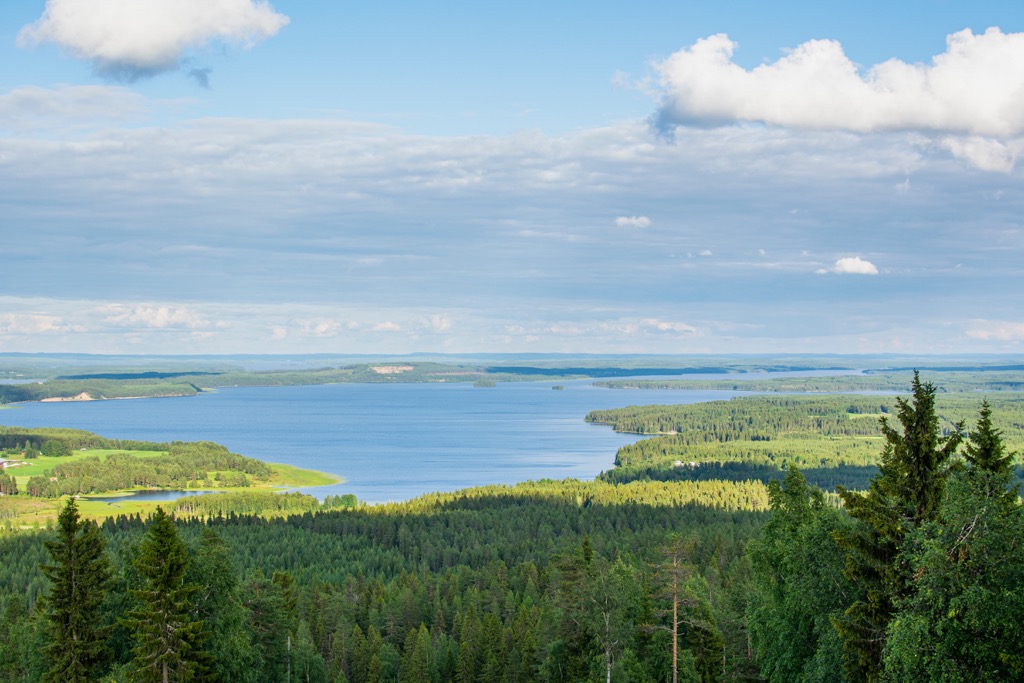
The main place to stay when hiking in the region are huts and camping sites, which can be found in all natural areas.
For example, in Hossa National Park there are 5 open wilderness huts, 12 rental huts, Karhunkainalo Camping Ground near the Hossa Visitor Center and Jatkonjärvi camping site on the shore of Jatkonjärvi Lake.
There are also 14 lean-to shelters, which you can use during the summer as another type of overnight accommodation. But I recommend doing it from July to August, when there are no mosquitoes anymore.
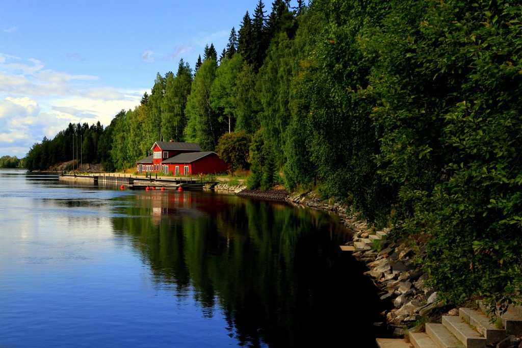
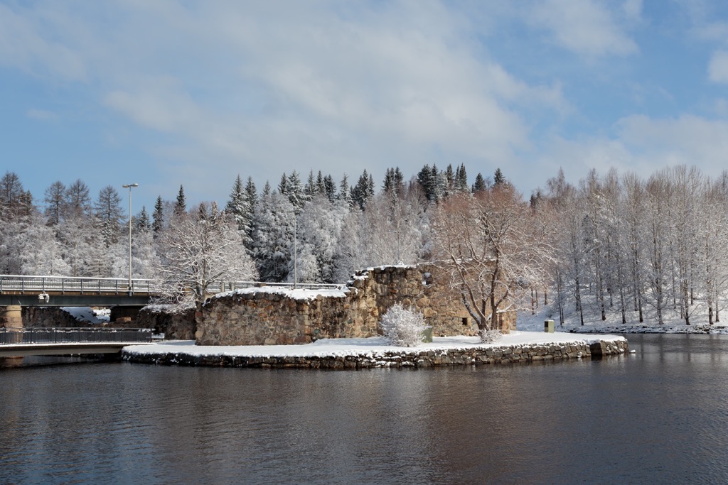
The main architectural and cultural attractions of Kajaani, as the main city of the region, is the ruins of the Kajaani Castle, built in the 17th century on the Ämmäkoski Island of the Kajaani River in the city center. As the Finns themselves say, it is "the most northern castle in the world". Other sites include the Kajaani Church; the Town Theater, the Art Museum of Kajaani and the Kainuu Museum, which tells about the whole region; the Kajaani University of Applied Sciences; and the Kajaani Railway Station.
Suomussalmi, one of the region's two main resorts, has a range of cultural attractions as well, including also several churches, memorials and statues, the Recreational Spa "Kiannon Kuohut", the Suomussalmi House Museum telling about the local history, the Soiva Metsä (Musical Forest)—a forest filled with artistic instruments, and others.
In the second resort, Kuhmo, in addition to "Juminkeko" center (Kalevala), there is also something to visit: the Kuhmo Arts Centre, the Lentua Concert Hall, the Public Library, and other places.
Explore Kainuu with the PeakVisor 3D Map and identify its summits.


