
Scan the QR code and open PeakVisor on your phone
Northern Ostrobothnia is home to 150 named mountains. The highest is Ruka at 500 m.
North Ostrobothnia is the second largest of Finland’s 19 regions after Lapland, which occupies the whole central part of the country. Three main natural features of the region are Hailuoto Island in the Baltic Sea, one of the 27 national landscapes; the Oulujoki River and Oulujärvi Lake, which gave its name to the region's capital city Oulu; and Ruka (500 m / 1,640 ft), the highest and the most prominent mountain, where one of the largest ski resorts in Finland is located. In total, there are 150 named mountains in North Ostrobothnia.
The name of the region indicates that it is the northern part of the larger region of Ostrobothnia, which is one of the nine historic provinces of the country, along with Finland Proper (the main city of Turku), Uusimaa (Helsinki), Laponia or Lapland (Rovaniemi and Inari), and others. At the same time, it is the largest province in terms of territory, occupying about 40% of the country in its geographical center.
The name of the region in Finnish and Swedish is Pohjois-Pohjanmaa and Norra Österbotten, respectively. For what exactly the word itself means, read the guide to the region of Ostrobothnia, which is considered the main one for the province.
North Ostrobothnia is the largest modern region of Finland after Lapland, covering an area of 37,149.23 sq km (14,343.40 sq mi), but second only to the latter by about half.
To the north, the area borders South Lapland in Lapland, which is also part of the historical province of Ostrobothnia; to the east, the Republic of Karelia in Russia; to the southeast, Kainuu; and to the south, North Savo, Central Finland, and Central Ostrobothnia, after which there is Ostrobothnia, the last fourth region of the historical province.
From 1997 to 2009, the region was also part of the larger Oulu province of the same name, along with six other provinces that were abolished as a result of reforms.
On the geographical map, the region stretches across the country from the southwest to the northeast, from the eastern shores of the Gulf of Bothnia, which form its western border, to the hilly region of Maanselkä on the eastern border with Russia. Along with Lapland, it is only the second region of the country with similar characteristics.
North Ostrobothnia is also part of three of Finland's four large natural and tourist regions: Coast and Archipelago, Lapland and Lakeland (the latter in Helsinki).
The region includes seven sub-regions: Oulu, Oulunkaari, Koillismaa, Nivala-Haapajärvi, Raahe, Siikalatva, and Ylivieska.
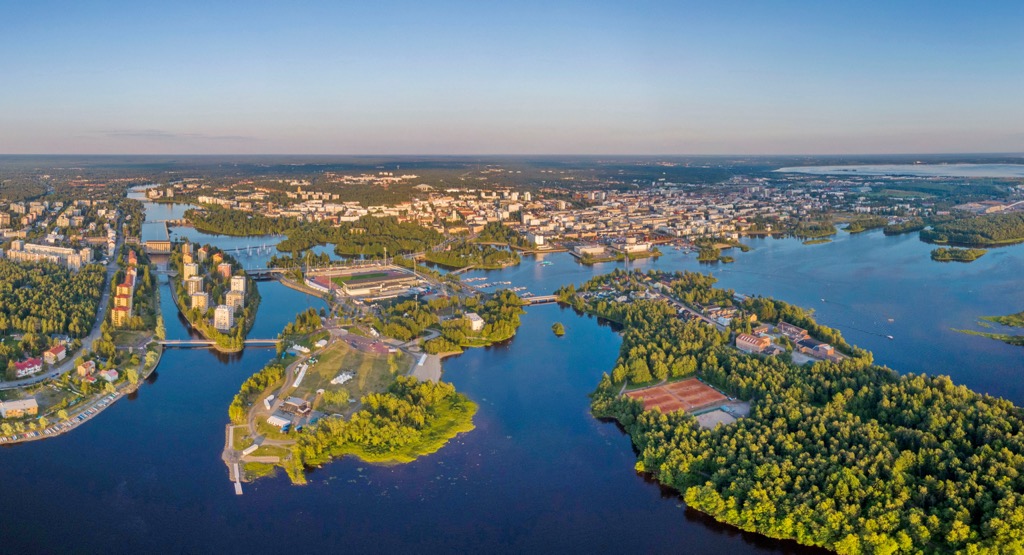
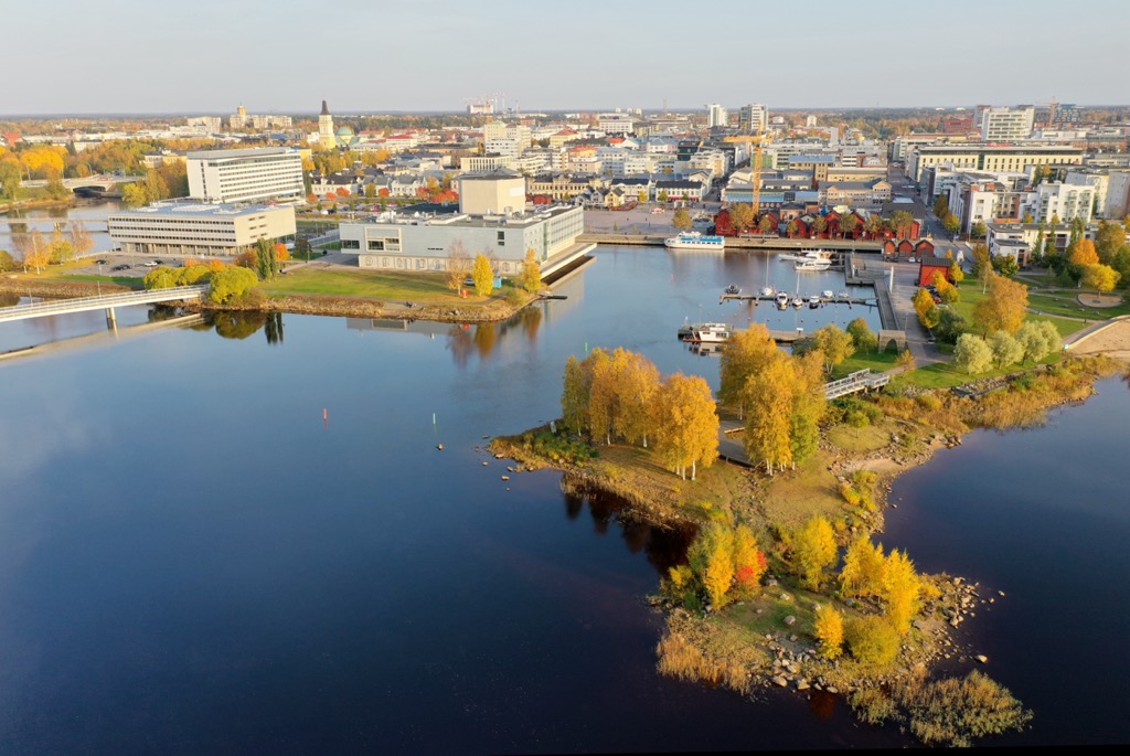
Oulu (“Flood Water”), the region's capital and largest city, is located on the coast. It can be reached from Helsinki by car in 7 hours (608 km / miles). The largest city in the eastern part of the region is Kuusamo, 2:30 hours (216 km / miles) from Oulu. By public transport, you can reach both cities by bus (state-run Matkahuolto or low-cost OnniBus) and VR.fi train.
Given the large size of the region, it has a variety of landscapes, of which I would highlight the following five main locations, which are the North Ostrobothnia top natural attractions:
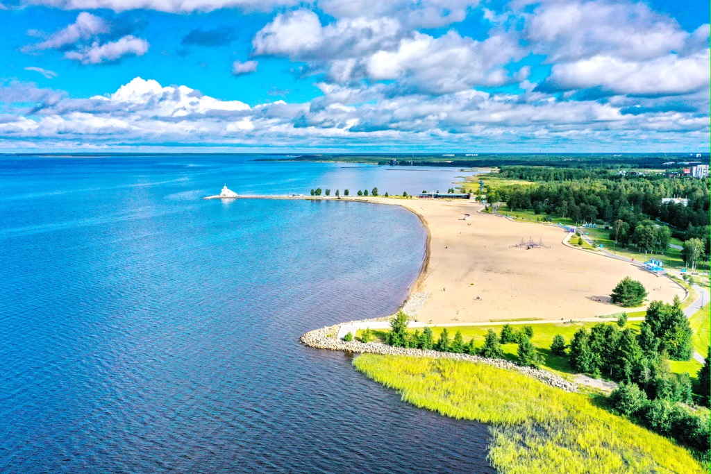
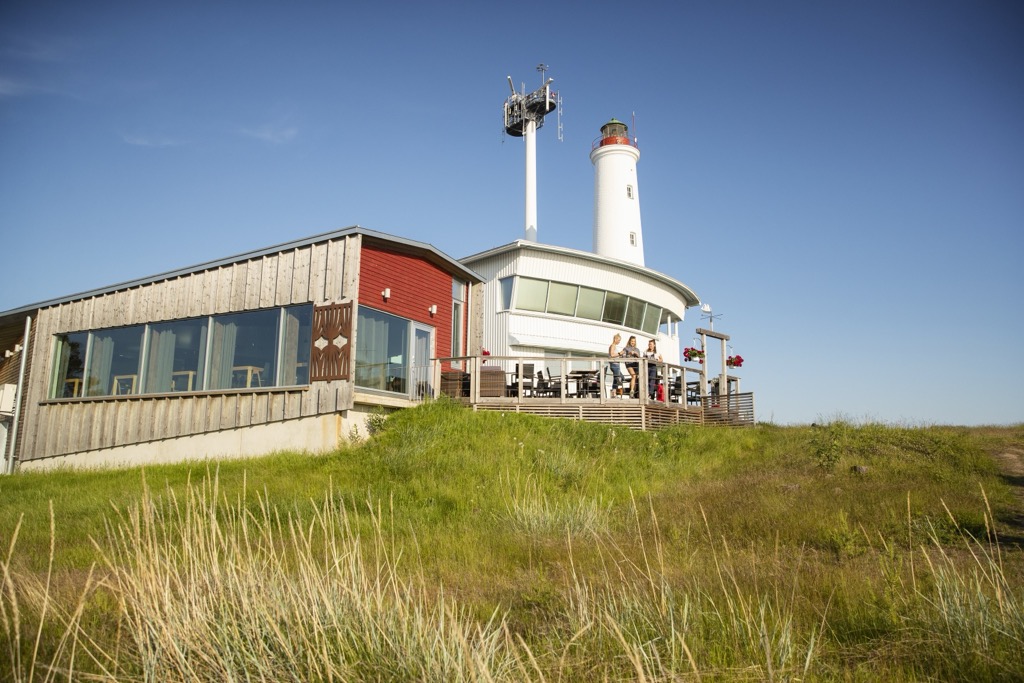
Hailuoto is the third largest island in Finland after Fasta Åland and Kimitoön in the Archipelago Sea in the southwestern part of the country, which is listed as one of the Finland's 27 national landscapes, benefiting from its fishing villages and ports, large white-colored lighthouse, beaches, and other attractions. The island can be reached by ferry from Oulu.
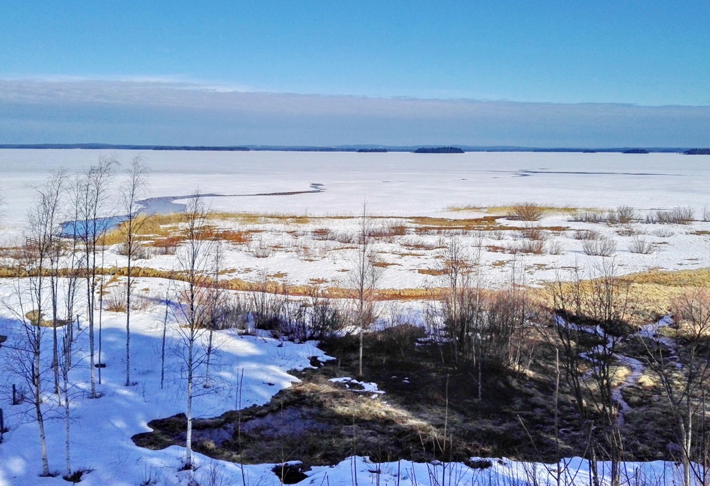
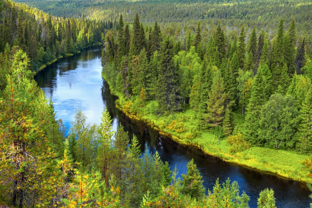
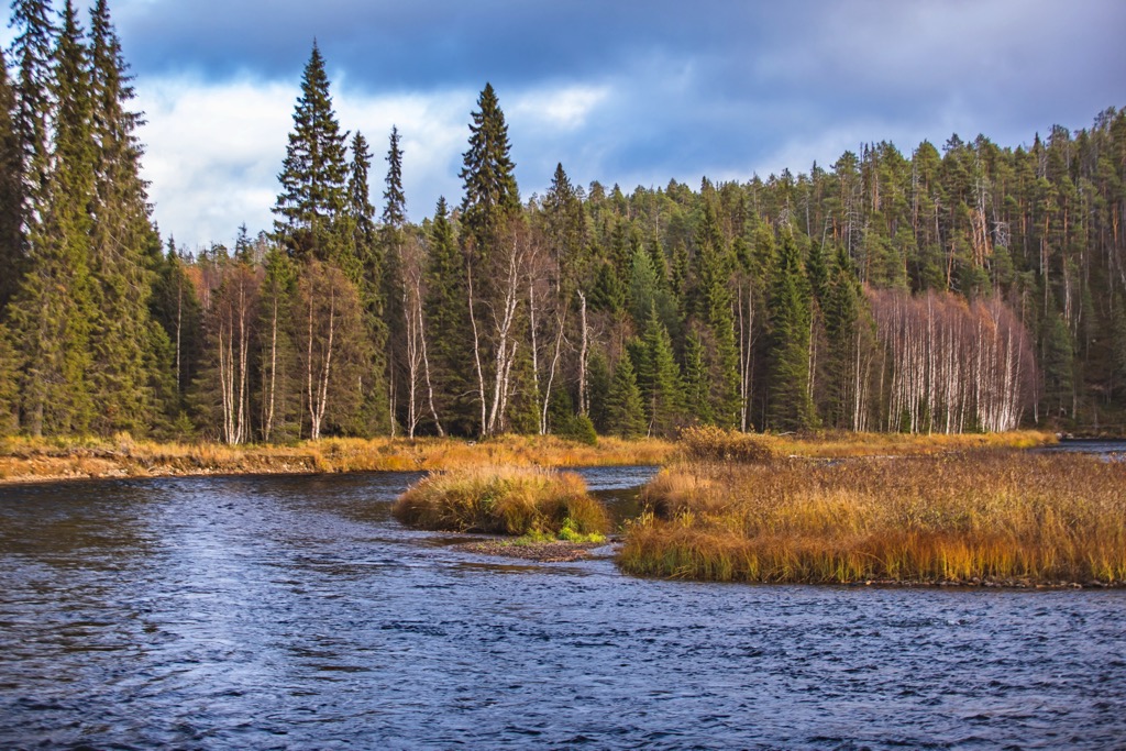
Oulu River is one of the country’s main rivers, 107 km (66 mi) long, which begins in the lake of the same name and flows into the Gulf of Bothnia. At its mouth is the port of Oulu. The Oulu lake, in turn, is the fifth largest in Finland, located on the border of North Ostrobothnia and Kainuu, almost in the geographical center of the country, which Finns themselves, especially from the Kainuu, call nothing less than "sea", without having direct access to the real one.
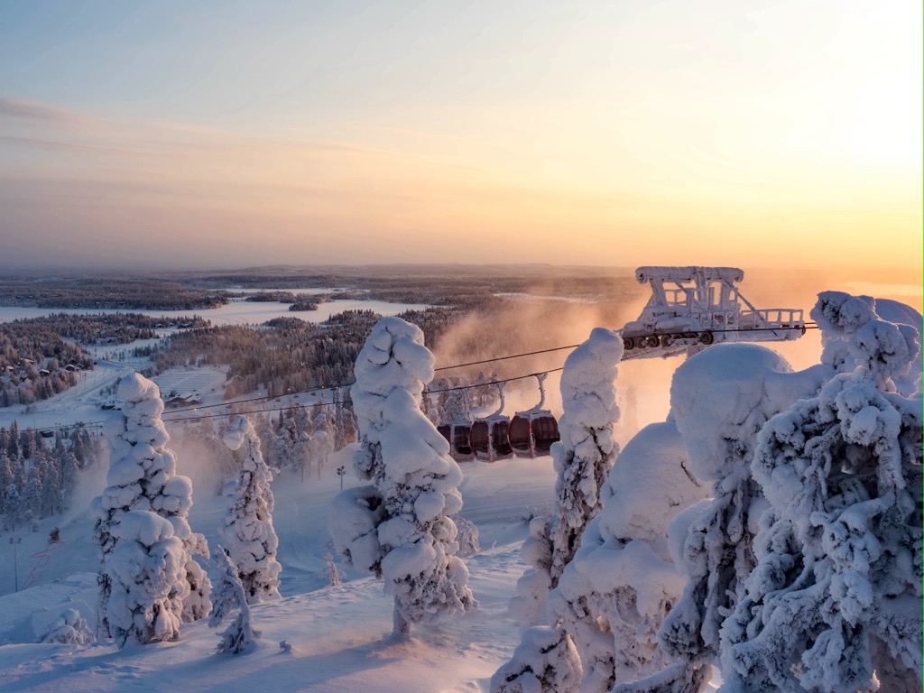
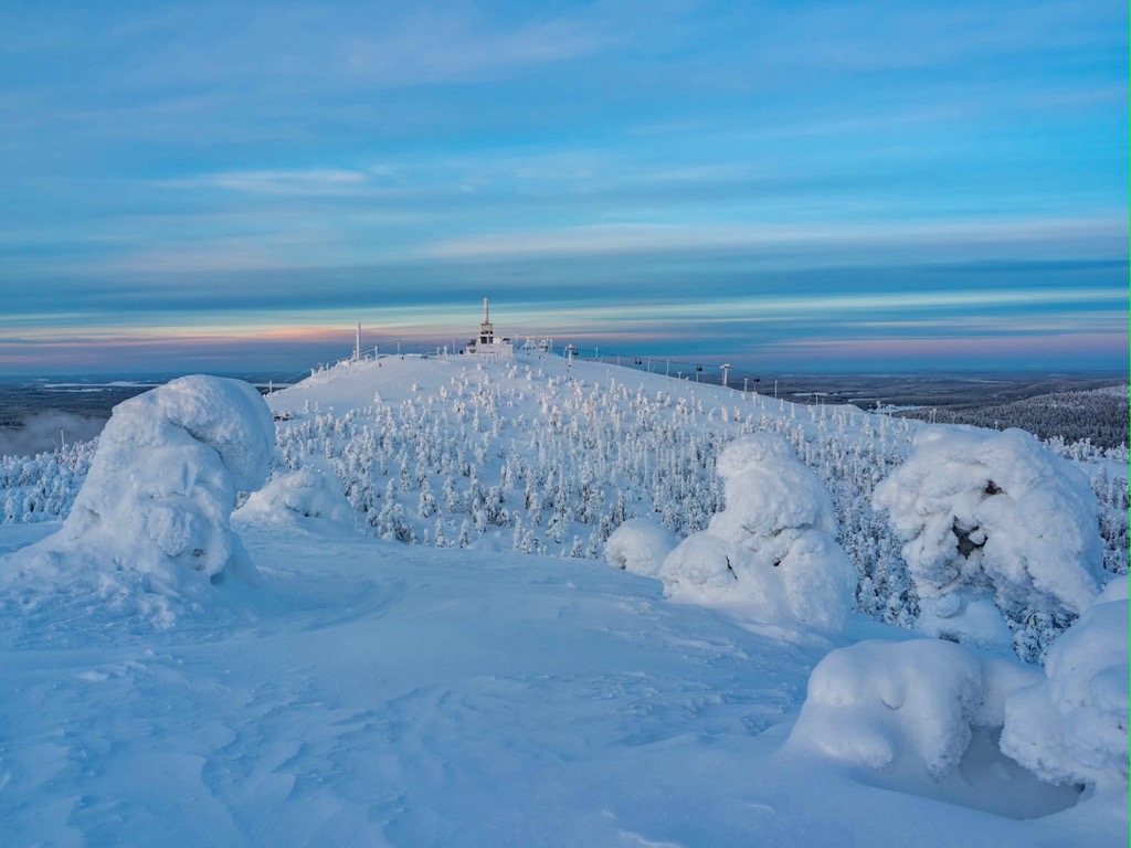
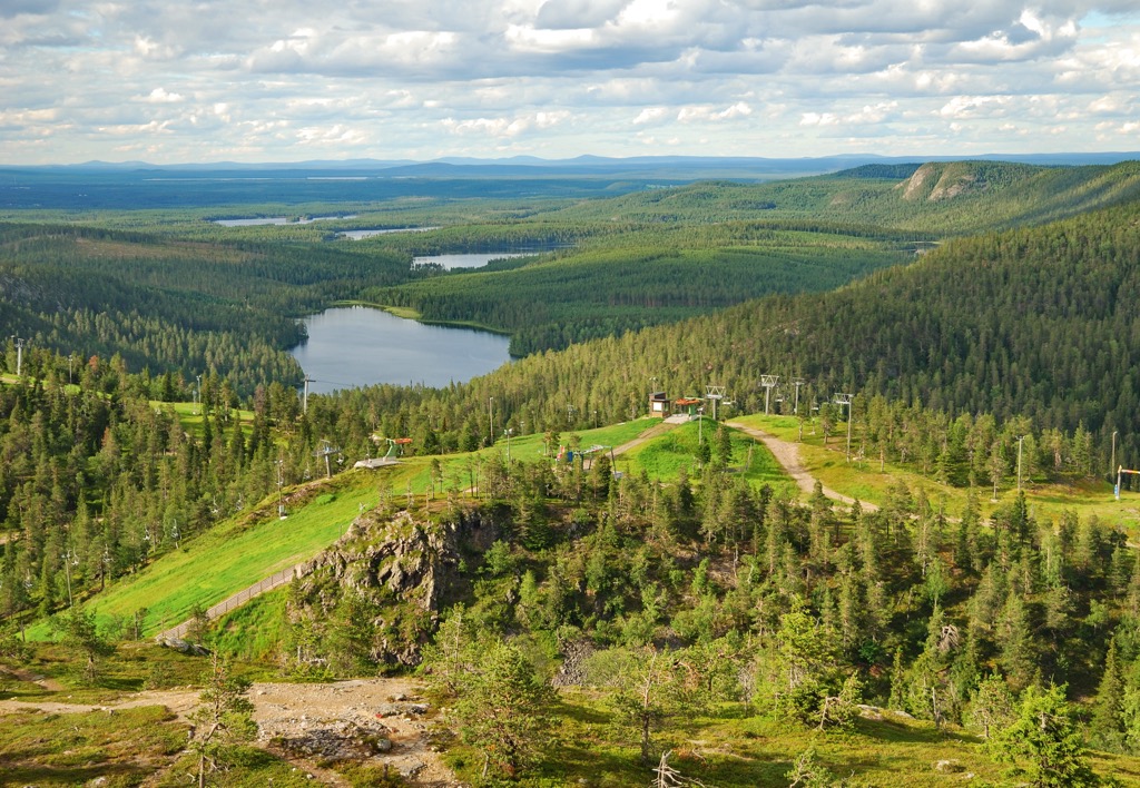
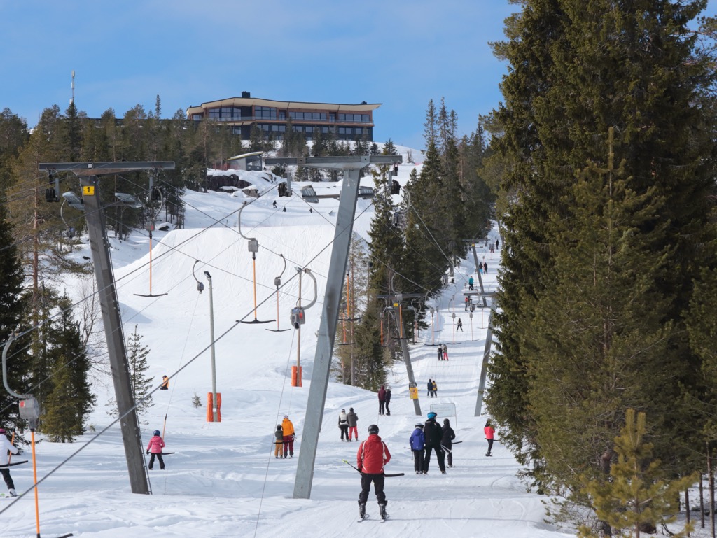
Ruka (500 m / 1,640 ft) is the highest peak of the region, belonging to the above-mentioned hilly area Maanselkä located on the east of North Ostrobothnia. It is known primarily as the largest ski resort outside of Lapland, that is, in the more southern part of the country, as well as a year-round outdoor center with large numbers of trails, and so on.
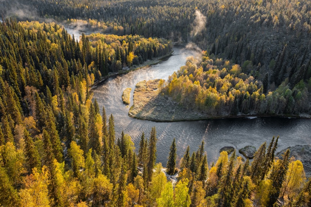
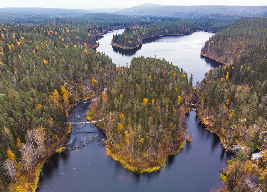
Oulanka River is another site on the list of 27 national landscapes that should not be confused with the above-mentioned Oulujoki River. The 35 km (21.7 mi) long Oulankajoki River has its banks in the forest marshes near the town of Salla in Lapland and flows southeast through the North Ostrobothnia to Pyaozero Lake in the Paanajärvi National Park in the Republic of Karelia, Russia.
These are extensive fields and meadows planted with various products in the valleys of the long and wide rivers like Oulankajoki, which occupy a large part of the entire historic province of Ostrobothnia. Together with the wooden houses scattered here and there, an idealistic landscape is created, for the benefit of which the region is known no less than the sea, lakes, mountains, and forests.
Most of the mountains of North Ostrobothnia, including the highest ones, are located at the easternmost tip of the region on the border with Russia.
The region’s highest peak Ruka (500 m / 1,640 ft) is part of the hilly territory of Maanselkä and refers to the mountains known as the Karelides, a non-existent mountain range sweeping from southeast to northeast Finland from South Karelia to Northern Lapland, which was once higher than the Alps.
In addition to Oulanka National Park, whose borders almost reach Ruka, Maanselkä also includes Urho Kekkonen National Park and the Russian Paanajärvi National Park.
The second most famous mountain in the region, Iso-Syöte (430 m / 1,410 ft), is located in the center.
It is considered the southernmost of Lapland’s fells, which cover most of this region except for the northwestern tip, where the mountains reach heights of over 1,000 m (3,280 ft) and belong to the Scandinavian Mountains. The mountain is also known for its namesake ski resort and two major hiking areas: Syöte National Park and the adjacent Iso-Syöte Hiking Area.
You’ll find a few more mountains around Ruka: Rukatunturi (368 m / 1,207 ft) and Pyhätunturi (324 m / 1,062 ft) to the south of it, and Valtavaara (491 m / 1,610 ft) and Konttainen (434 m / 1,423 ft) to the north.
The rest of North Ostrobothnia’s mountains are roughly evenly distributed throughout its territory, but the farther west you go, the lower their heights become. Here are a few more examples:
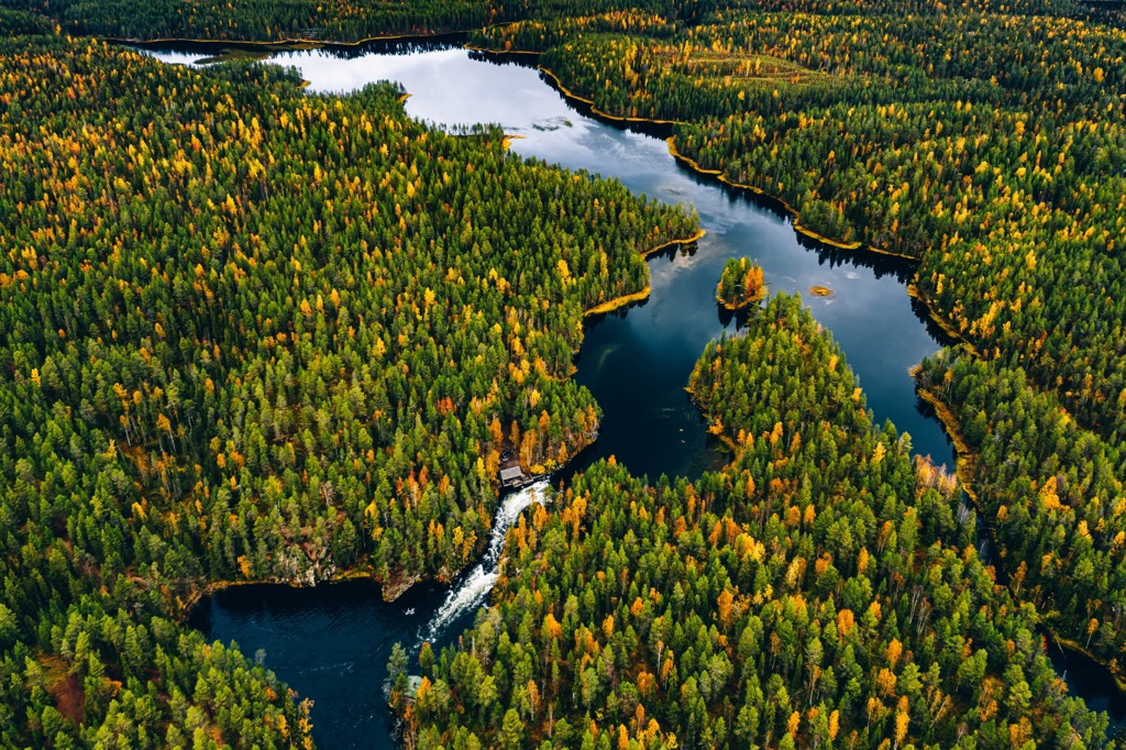
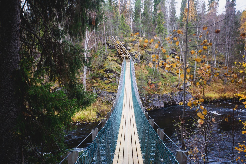
Northern Ostrobothnia is an incredibly diverse region in terms of hiking areas and hiking trails through them, among which it is rather difficult to choose than the other way around. Just think about it: Here you will find six of 40 Finland's national parks, partially or fully located in the region; three hiking areas; and three nature reserves, as well as five nature centers; and several other areas.
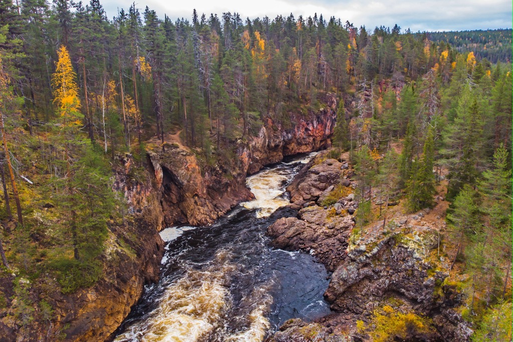
However, as in the country as a whole, the most popular type of hiking area is the national parks, among which Oulanka stands out due to the most popular hiking route in all of Finland, which is locally known as Karhunkierros of 80 km (mi), about half of which runs along the bed of the Oulankajoki River. But other parks have similar trails for dozens of km (mi).
I would also not exclude all three national hiking areas, especially the one near Oulujärvi Lake, as less touristy (they are mostly visited only by Finns themselves), but no less beautiful and interesting.
Finally, Rahja Archipelago near the town of Raahe south of Oulu also claims to be an unusual location, which has not yet managed to collect hundreds of thousands of hashtags on Instagram. There are no marked hiking trails, but there are canoeing and rowing routes, birdwatching spots, and even cross-country ski trails in winter.
So, the full list, including some of the areas in North Ostrobothnia that I've named here and earlier, includes:
Nature Centers
Islands and Archipelagos

In the region of Northern Ostrobothnia there are two major ski resorts:
Learn more about these and other ski resorts in Finland at World Mountain Lifts in PeakVisor.
When traveling in the Central Ostrobothnia region, visit one of its official tourist offices and info points, which are located in almost all towns and resorts, starting with Oulu on the coast and Kuusamo in the east of the region.
Oulu City Tourist Office
Business Asema, Hallituskatu, 36 B, PL 54, 90015, Oulu, Finland
Monday to Friday from 9 am to 5 pm
+358855841330
Kuusamo Tourist Information
Kaarlo Hännisen tie 2, Kuusamo, Finland
Monday to Friday from 9 am to 17 pm
+3580408608365
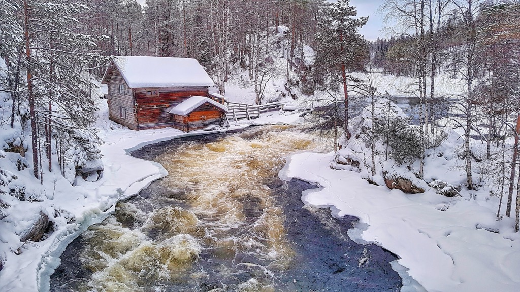
There are many different types of accommodation in North Ostrobothnia—rental huts, open wilderness huts, camping grounds, cottages, B&Bs, and others—throughout the region. Let's take the Oulanka National Park as an example, as the main place for hiking in the region on the border with Lapland.
In Oulanka, there are seven open wilderness huts, a day-trip hut to rest during the day, and a camping site along the Karhunkierros Trail. Another camping site is located in Juuma village, one of the starting points of hiking in the national park.
A typical open wilderness hut, for example, Savilampi Open Wilderness Hut, is a wooden house with several beds for 2 to 20 and more people, this one if for 10. As the name suggests, you don't need to pay for it—it is always open, even in the winter. But there could be other people, so my only and simple recommendation: Even if you want to sleep in the huts, bring a tent, because the Karhunkierros is the most popular hiking trail in the whole of Finland, especially in September in the time of "ruska" period (Golden Autumn in Finnish) when the trees turn yellow, red and brown. Inside the hut, there is a stove, gas cooker, and dry toilet. Some huts could include a free and rented sauna, as well.
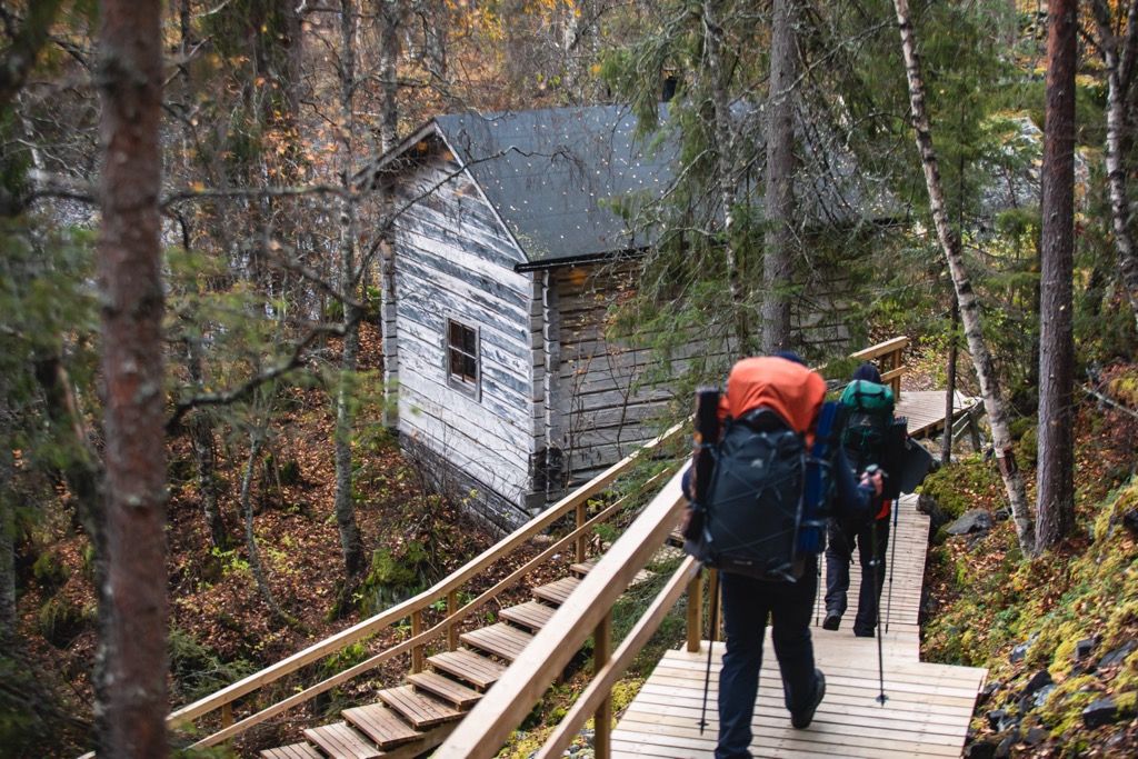
As everywhere else in Finland, you can pitch your tent everywhere following the Everyman's Right law, even on private property, but not within the national parks.
Oulu is the capital and main city of North Ostrobothnia, with a population of 209,648 people (2021), making it third or fifth, after Helsinki (depending of the inclusion or not of the two largest suburbs of the Finnish capital—Espoo and Vantaa) and Tampere.
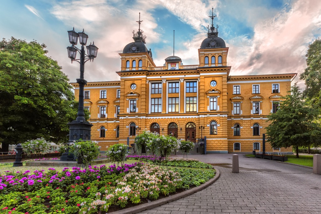
The main architectural and cultural attractions of the city of Oulu are the following:
The city is also very famous thanks to the annual Oulu Music Video Festival. In 2026, it will also become the European Capital of Culture.
As an alternative to Oulu, I would also recommend considering two smaller towns up the coast: Kalajoki and Raahe.
The largest city in the east is Kuusamo. Compared to Oulu it is also small. Its main attractions are Kuusamo Church, Kuusamo Hall, and Kuusamo Local History Museum.
Other towns and resorts in North Ostrobothnia are mostly located on the lakes. You can easily recognize them by the ending “järvi”, which means “lake” in Finnish. The largest of them are Haapajärvi, Pyhäjärvi, and Pudasjärvi.


Yes. Northern Ostrobothnia has 150 named mountains. The highest is Ruka at 500 m.
The highest mountain in Northern Ostrobothnia is Ruka, at 500 m.
Northern Ostrobothnia has 150 named mountains.


