
Scan the QR code and open PeakVisor on your phone
Central Finland is home to 215 named mountains. The highest is Tornikangas at 281 m.
Central Finland is one of Finland’s 19 regions. It is located, as its name implies, in the center of the country. The main feature of the region is Päijänne Lake, which is the second-largest lake in Finland. In total, there are 215 named mountains in Central Finland. The highest and the most prominent mountain in the region is Tornikangas (281 m / 921 ft).
The modern name of the region of Central Finland (Keski-Suomi/Mellersta Finland) comes from the fact that it is located exactly in the center of the country.
However, it is not located in the geographical center of Finland as the country’s largest region, Lapland, encompasses about half of its total territory. Rather, Central Finland is situated in the central part of the country’s southern and most populous area.
Interestingly, the historic name of this region is different from its modern one. The region was historically called Tavastia, which is the Latin version of the Finnish area Häme (Tavastland in Swedish).
Tavastia is one of the nine historical provinces of Finland, which existed on the administrative map of the country until 1634. Although it holds no current official role, the province of Tavastia is important as it can be used to define a unique linguistic and cultural area.
Central Finland covers an area of 19,950.38 sq. km (7,702.88 sq. mi). It is one of the largest regions in Finland, and it is located in the southern part of the country.
Given its central location, Central Finland borders seven other regions: Päijät-Häme, Pirkanmaa, South Ostrobothnia, Central Ostrobothnia, North Ostrobothnia, North Savo, and South Savo. To the south of Päijät-Häme, there is another region with a similar name, Kanta-Häme. As the name implies, these two regions are also parts of the historical province of Tavastia.
From 1997 to 2009, Central Finland was also the easternmost part of the region of Western Finland, and its southern regions were located in Southern Finland.
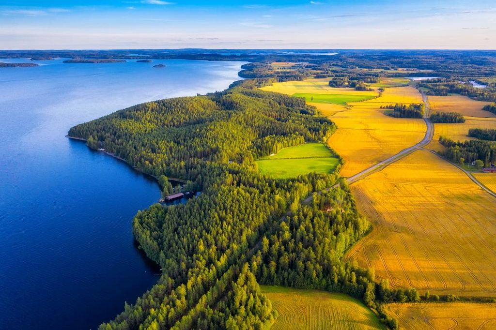
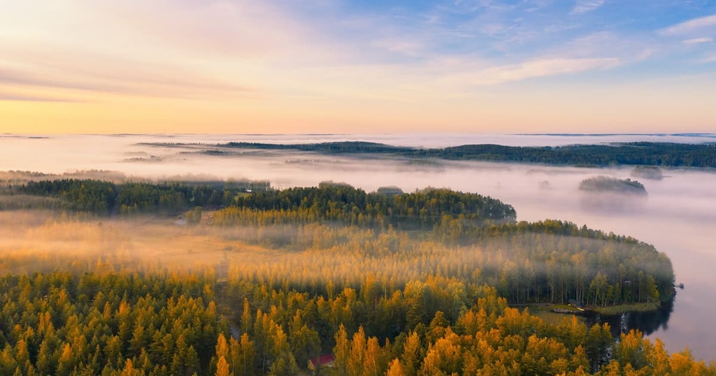
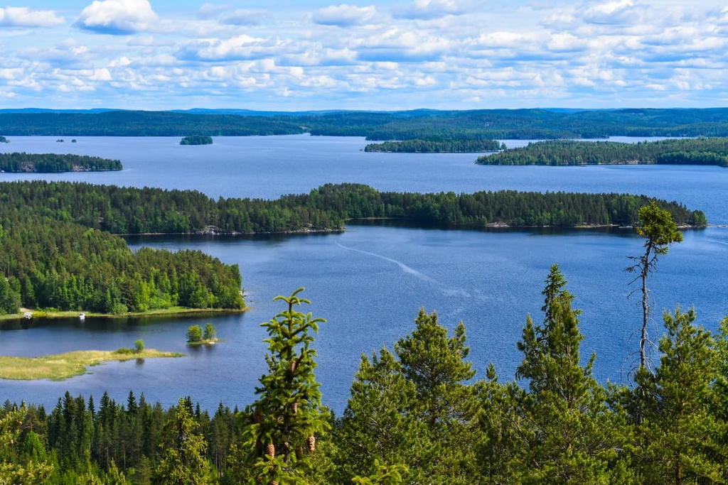
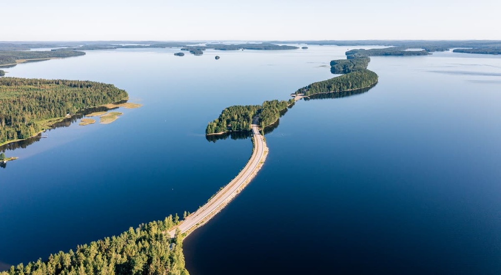
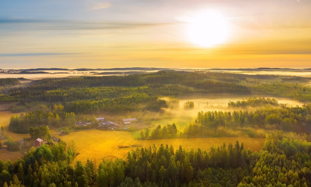
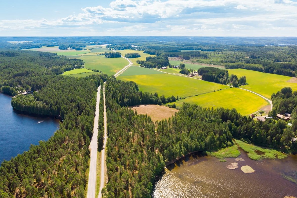
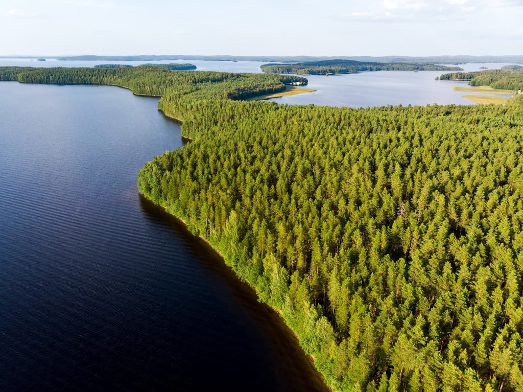
On a geographical map, the region serves as the western tip of the famous Finnish Lakeland, one of the four major natural and tourist regions of Finland on par with Helsinki, the Western Coast and Archipelago Sea, and Lapland.
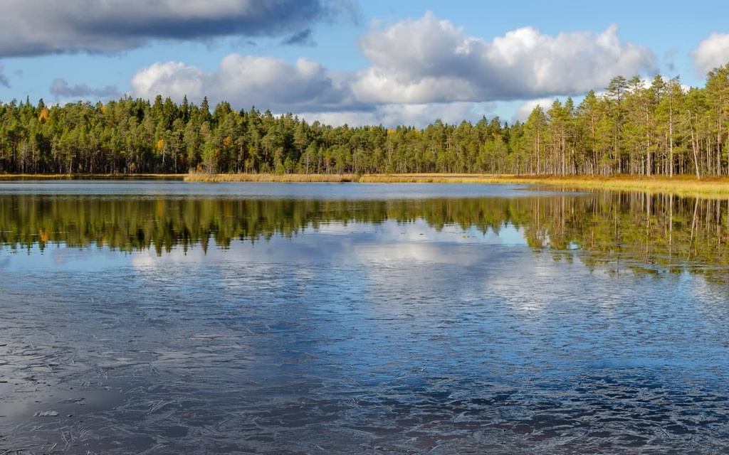
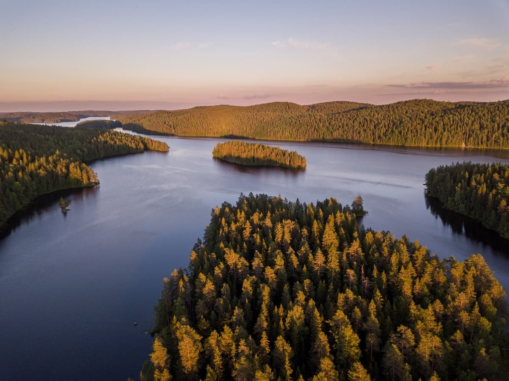
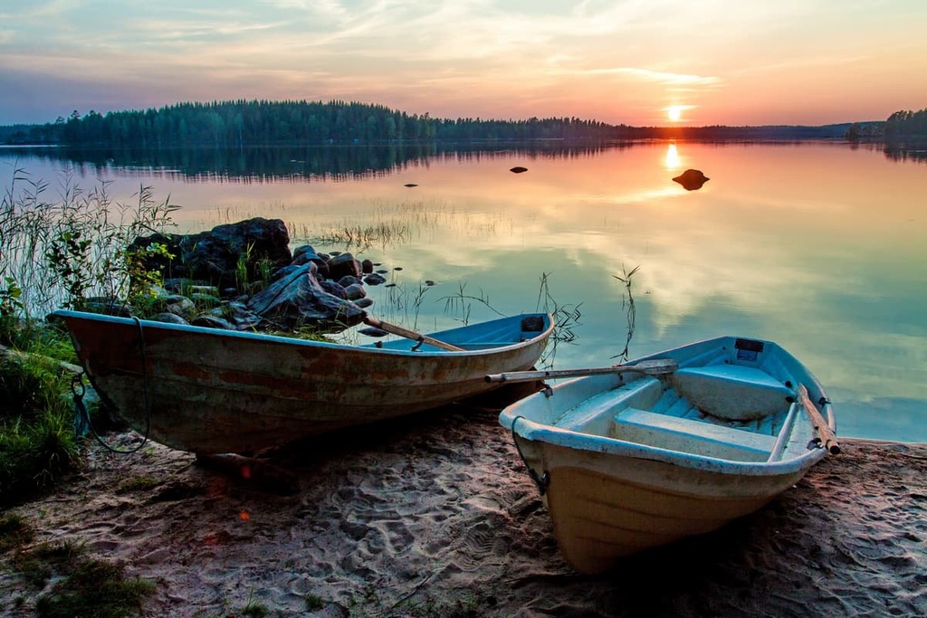
Therefore, a large part of the region is covered by lakes, including the country’s second-largest lake, Päijänne (the biggest is Saimaa in Southern Finland). Other large lakes in the region include Keitele, Konnevesi, and Kivijärvi, among others.
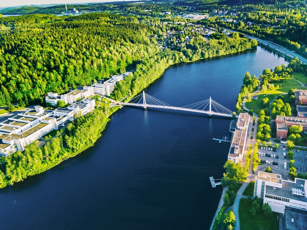
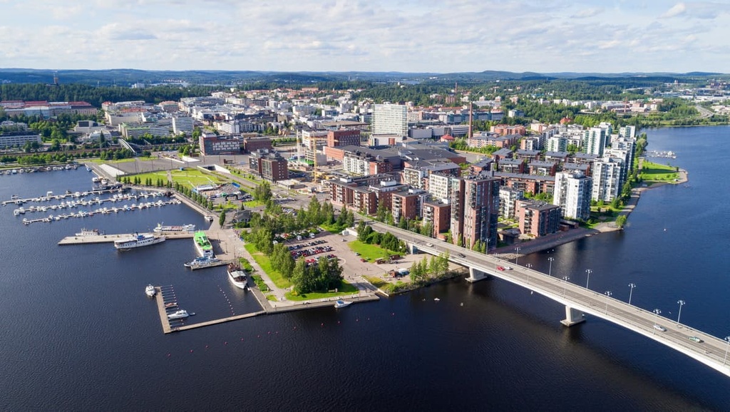
Jyväskylä is the capital of Central Finland. It has a population of around 144,000 people, and it is located about 270 km (167.7 mi) to the north of Helsinki, the capital of the whole country. It is also situated about 150 km (93.2 mi) to the northeast of Tampere, Finland's third-largest city, and the capital of the former Western Finland region.
You can get to Jyväskylä via rental car, VR.fi trains, and either Matkahuolto.fi or OnniBus.com buses.
The city of Jyväskylä was founded in March 1837 by the Emperor of Russia and Grand Duke of Finland, Nicholas I, from seven private estates. These private estates were united into one administrative unit and they have since become one of the main sub-regions of Finland.
Jyväskylä’s main claim to fame is that it is home to a number of important universities and other educational and cultural institutions. As a result, it is often called the Finnish Athens, especially since it is home to Finland’s first three Finnish-speaking educational institutions.
The modern city of Jyväskylä is also an important IT hub, along with Espoo, a suburb of Helsinki. One of the main architectural sites in the city, Technopolis Innova Tower, hosts multiple tech companies such as Solar Stone (a producer of home solar panels), Logmore (a cloud platform for monitoring cargo supply chains), and Onerva (a communication service for elder care services), among many others.
The highest and the most prominent mountain in Central Finland is Tornikangas (281 m / 921 ft). The mountain is located between the towns of Hankasalmi and Pieksämäki, the latter of which is located in the neighboring region of South Savo.
The second-highest point in Central Finland is Kiiskilänmäki. It is located between the towns of Multia and Tikkakiski, and it reaches an elevation of 268 m (879 ft) above sea level.
Geologically, both hills belong to the mountain range of Karelides. These mountains, which are really just rolling hills, stretch from the eastern part of the country in South Karelia to Lapland.
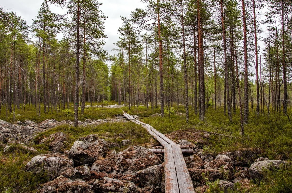
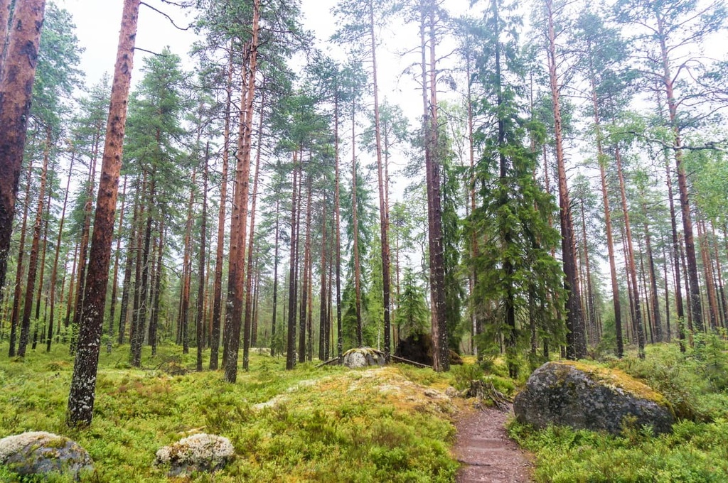
Both peaks are also located in the Finnish Lakeland, so while traveling on the highways between these towns, you can easily hike to Tornikangas or Kiiskilänmäki to admire the lakes and endless forests of the region. There are easy trails leading to the tops of both peaks from a number of nearby parking lots.
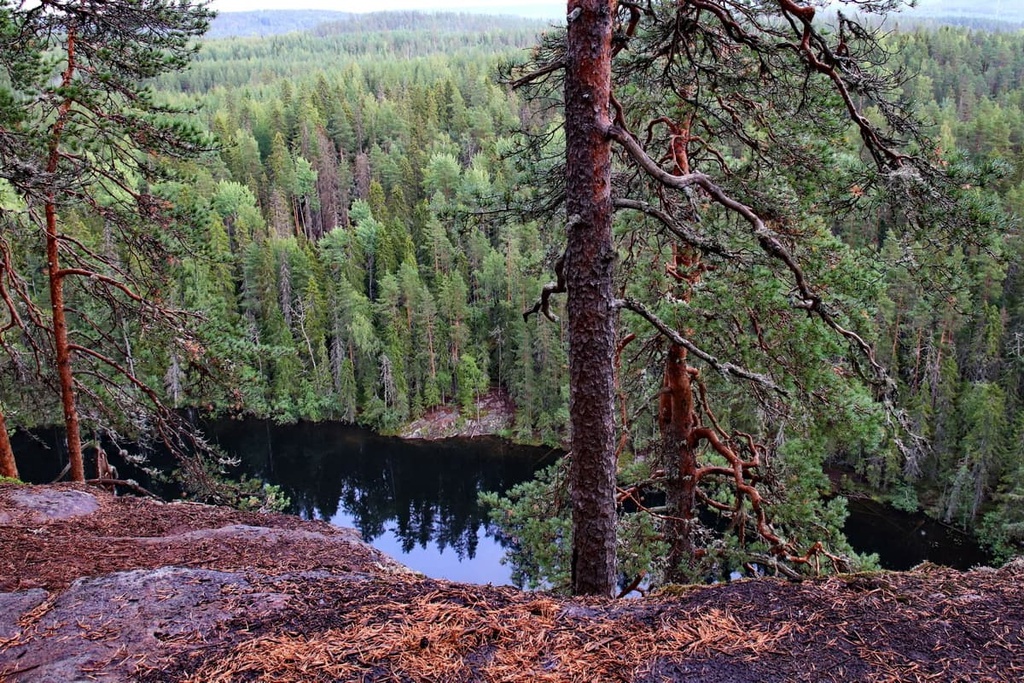
The rest of the region is covered with similar, but smaller hills that are evenly distributed throughout its territory. In my experience, hiking up about 200 m (656 ft) in elevation is enough to get a beautiful panoramic view of the region, so you don’t have to put in too much effort to enjoy great vistas in Central Finland.
For example, you can get excellent views on Laajavuori (229 m / 751 ft), which is the main hill of Jyväskylä. It is home to an outdoor center and is situated just to the northwest of the city center.
Many hills are also located on the shores of Päijänne Lake, such as Haukkavuori (203 m / 667 ft) which is located to the south of Jyväskylä. In the more southern parts of the lake, the peaks are smaller, but there are also quite a few of them to enjoy, such as Vuorenmäki (175 m / 574 ft), Vaarunvuoret (190 m / 623 ft), and Sihverinvuori (176 m / 577 ft), among others.
While Central Finland may not be home to as many mountains as, say, Lapland, it is a great place for hiking and other outdoor adventures. Here’s a quick look at some of the main adventure destinations to check out during your next trip to the region.
The main hiking areas in Central Finland include 6 of the country's 40 national parks, all of which offer many hiking trails, including:
It is good to know that the main national park in the region, Päijänne, is located entirely on the islands, except for a small section that’s nestled on the mainland. As a result, you have to take a ferry to reach its only trail, which is located on an island in the middle of the lake. The ferry operates during the summer season, but not during the winter when the lake is frozen.
In addition to the national parks, there are several other hiking areas in the Central Finland region, including in the vicinity of Jyväskylä.
For example, you can hike along Kanavuori Nature Trail on Kanavuori, which is located just a 10-minute drive away from the city. Or, you can take the Jääskelä Nature Trail to Mäyrävuori, which is just 10 minutes further away. The trail is 5 km (3.1 mi) long and it offers stunning views out over Päijänne Lake.
There are also several observation towers in the Jyväskylä sub-region with great panoramic views, such as Äänemäki Lookout Tower, Himmaan Huippu, Nykänen, and Vesilinna.
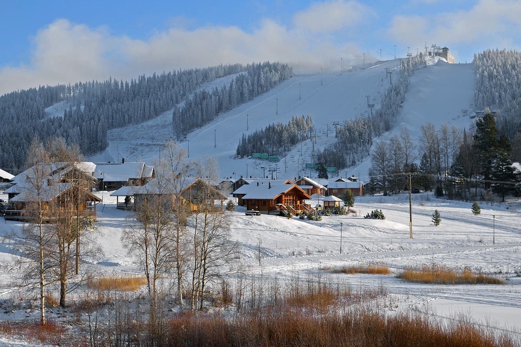
Among other things, the Jyväskylä subregion is known as the premier skiing and winter sports destination in Western Finland.
There are three relatively large ski centers in the region, the first of which, Laajavuori Ski Resort, is located right in the city center of Jyväskylä. The second, Himos Ski Resort, is located to the south of the city between it and Tampere. The third, Häkärinteet Ski Resort, is situated to the east of Jyväskylä. Here are their exact details:
You can learn more about the largest ski resorts in other regions of Finland on the World Mountain Lifts section of the PeakVisor website.
During a trip to the Central Finland region, be sure to visit the official tourist center of Jyväskylä. At the tourist office, you can get more information about the region and pick up informational brochures that can help you plan your journey.
Visit Jyväskylä Region Tourist Office
Shopping Centre “Forum,” Asemakatu, 7, 40100, Jyväskylä, Finland
General opening times: Monday to Friday: 10 am to 4–5 pm
+358142660113
In Central Finland’s national parks, which are the main hiking areas in the region as well as in the country as a whole, you can stay overnight in one of several types of accommodation. This includes lean-to-shelters, mountain huts, and traditional Sámi huts. For example, Southern Konnevesi National Park has 5 lean-to-shelters and 8 campfire sites.
Within some parks or near their boundaries, you can also find campgrounds, cabins, B&Bs, saunas, cottages, and other types of accommodation.
Thanks to Finland’s Everyman’s Right law, you can also pitch a tent in most areas of the country unless they’re specifically restricted as no-camping regions.
Before and after hiking in Central Finland’s national parks, be sure to take a day or two to see its main city, Jyväskylä, without which your trip would not be complete.
Its main architectural and cultural attractions include more than a hundred different landmarks, such as:
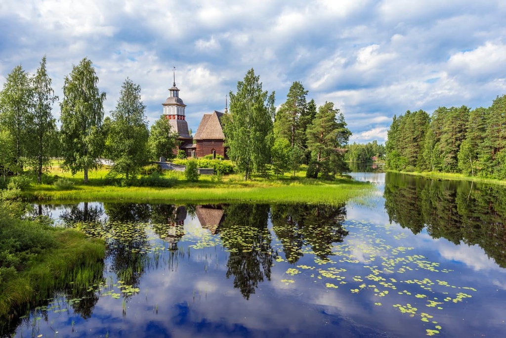
Additionally, in Jyväskylä, you can check out the Museum of Central Finland, also known as KeMu, which has many great exhibitions that are dedicated to the region’s natural and human history and landscape. The city’s two UNESCO sites, the Oravivuori Arc Point of the Struve Geodetic Arc and Petäjävesi Old Church, are also worth visiting.
Furthermore, it’s worth noting that Jyväskylä is a hub for buildings designed by Alvar Aalto, a world-famous Finnish architect. He was born in the small town of Kuortane in the South Ostrobothnia region but went to school, married, and began his career in Jyväskylä. Some of the buildings he designed include the Alvar Aalto Museum, Muurame Church, and Säynätsalo Town Hall, among 26 others.
In addition to Jyväskylä, other major towns and resorts in the region of Central Finland include Jämsä and Äänekoski, which have almost 20,000 people each, and Saarijärvi and Keuruu, which have almost 10,000 people each. They can be seen as good alternatives to the “noisier” (by Finnish standards) capital of Central Finland.


Yes. Central Finland has 215 named mountains. The highest is Tornikangas at 281 m.
The highest mountain in Central Finland is Tornikangas, at 281 m.
Central Finland has 215 named mountains.


