
Scan the QR code and open PeakVisor on your phone
South Ostrobothnia is home to 162 named mountains. The highest is Raitamäki at 241 m.
South Ostrobothnia is one of Finland’s 19 regions, located in the southwest of the country near the Baltic Sea coast. The main natural feature of the region is the Kyrönjoki River valley and its surrounding vast agricultural area, which is one of the 27 national landscapes of Finland. The region is also often associated with Finland’s most famous architect, Alvar Aalto, whose work was largely inspired by Finnish nature. The region is a home to one of the largest collections of his buildings. There are 162 named mountains in South Ostrobothnia. Raitamäki (241 m / 790 ft) is the highest point. The most prominent mountain is Lauhanvuori (231 m / 757 ft).
The name of the region indicates that it is the southern part of the larger region of Ostrobothnia, which is one of the nine historic provinces of the country, along with Finland Proper (the main city of Turku), Uusimaa (Helsinki), Laponia or Lapland (Rovaniemi and Inari), and others. At the same time, it is the largest province in terms of territory, occupying about 40% of the country in its geographical center.
The name of the region in Finnish and Swedish is Etelä-Pohjanmaa and Södra Österbotten, respectively. For what exactly the word itself means, read the guide to the region of Ostrobothnia, which is considered the main one for the province.
South Ostrobothnia is located in the region of Western Finland, another territorial unit that has ceased to exist, but is still widely used to refer to this part of the country.
The region is also known as Coast and Archipelago, or one of the four large natural areas of Finland on par with Helsinki, Lakeland, and Lapland.
To the northwest of South Ostrobothnia is the Ostrobothnia (the main city is Vaasa) region; to the north is Central Ostrobothnia (Kokkola), followed by the last, fourth part of the historic province, North Ostrobothnia (Oulu); to the east is Central Finland (Jyväskylä); to the south are Pirkanmaa (Tampere) and Satakunta (Pori).
Total area of the region: 13,999.63 sq km (5,405.29 sq mi). It consists of four sub-regions: Seinäjoki (Seinäjoki), Järviseutu (Alajärvi), Kuusiokunnat (Alavus), and Suupohja (Kauhajoki).
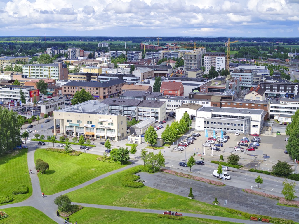
The main city of the region is Seinäjoki, which is located 359 km (223 mi) or 4 hours by car from Helsinki to the northwest. By public transport, you can also reach the city by bus (state-run Matkahuolto or low-cost OnniBus) and VR.fi train.
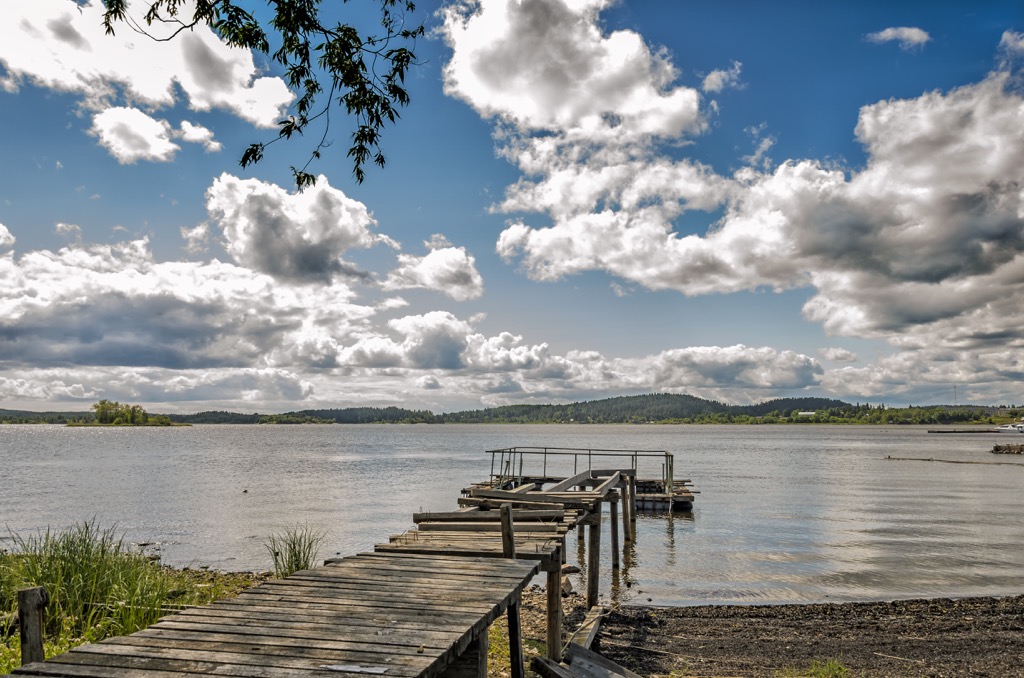
The first and the main feature of the region’s landscape is the vast fields, meadows, and other lands located in the valleys of large rivers, which makes the soil very fertile, allowing the cultivation of various agricultural products. Rivers and fields are not only of practical use but are also inspiring landscapes.
In particular, while in the region, pay attention to the Kyrönjoki River valley, which is among 27 national landscapes of Finland. (In total there are three such sites in the historic province, the other two: Kvarken Archipelago in Ostrobothnia and Hailuoto Island with a giant lighthouse and fishing villages in Northern Ostrobothnia). In my opinion, this is also one of the must-see places in Finland, capable of inspiring as much as the forests and lakes, the Archipelago Sea, and the hills of Lapland.)
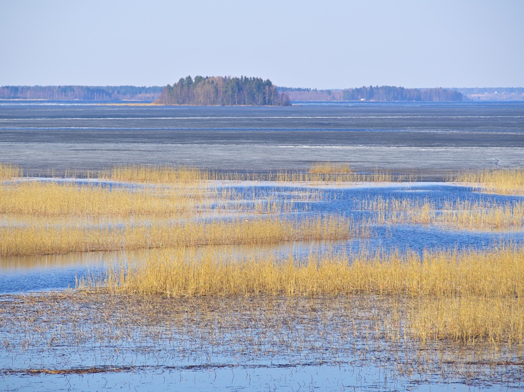
Kyrönjoki was chosen as a national landscape, not by accident. This is one of the major rivers in Finland, the first in its catchment area (492.297 hectares) and the fourth longest (about the latter, however, there is no consensus: from 80 to 200 km (49 to 124 mi), on average—130 km / 80 mi). It originates at the confluence of two other rivers near the town of Kurikka and flows into the Gulf of Bothnia of the Baltic Sea. There are also four hydroelectric power plants on the river.
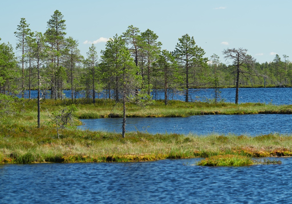
However, the Kyrönjoki is not the only one in the region. Among others, I would also mention the Hypänjoki River valley in the Suupohja sub-region in the south of the region.
There are no major lakes on the both rivers, as well as in South Ostrobothnia in general. There is only one large lake in the region, Lappajärvi Lake, located on its northern borders.
South Ostrobothnia is not the most mountainous region in Finland, but there are some low hills that you can climb to get a glimpse of the region's inspiring landscapes. About half of its 162 named mountains exceed 100 m (328 ft), which in my experience is quite high enough for such a task.
The highest peak, Raitamäki (214 m / 791 ft), is located in its eastern part. It is also the highest in the historic province, not counting its more mountainous northern part.
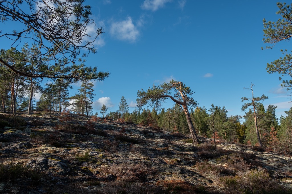
However, the second highest mountain, Lauhanvuori (231 m / 758 ft), is the most famous in the region, not only for its height but also as the main attraction of the national park of the same name, one of two in South Ostrobothnia. In particular, being also the most prominent, the mountain (and the park) are known for several reasons:
So all these reasons led to the creation of the national park in this place.
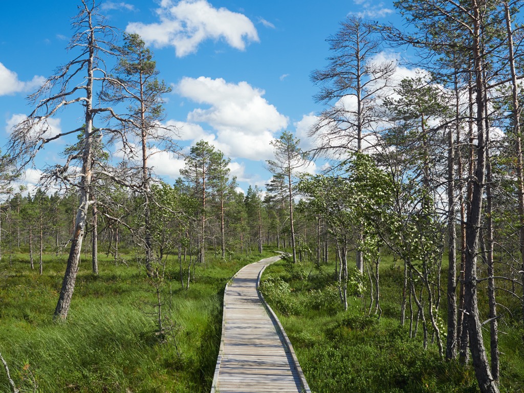
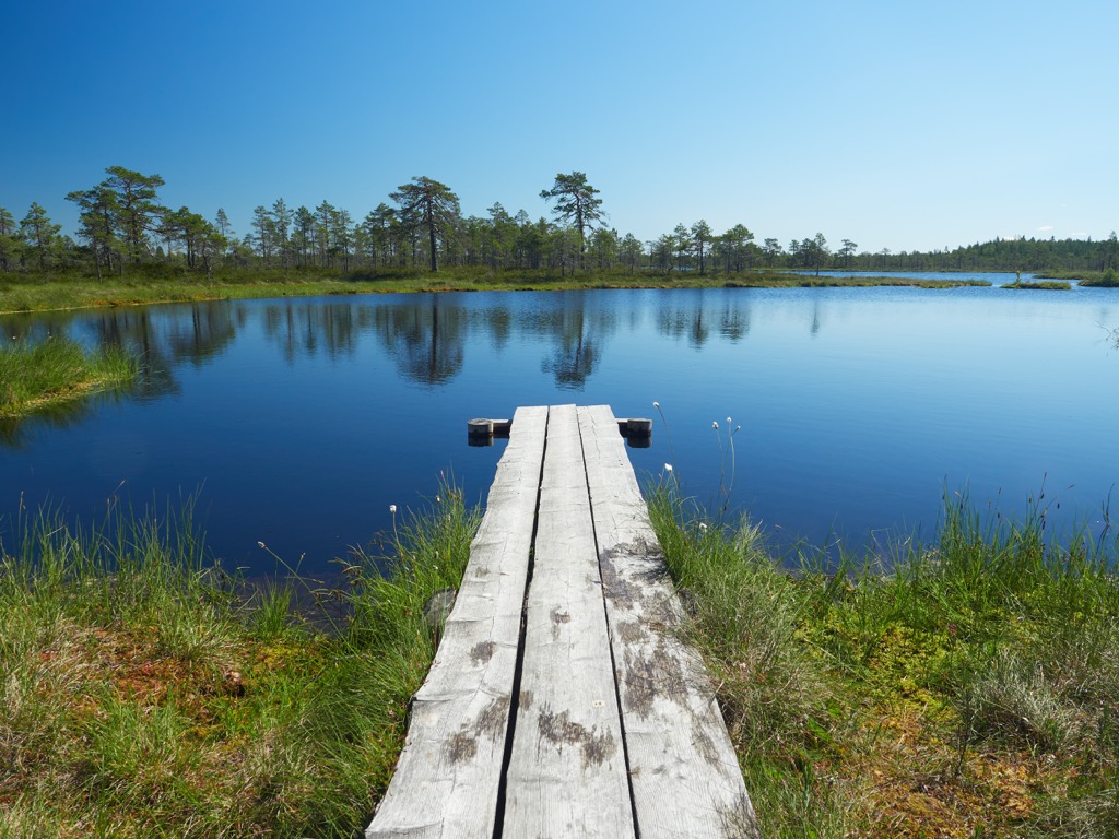
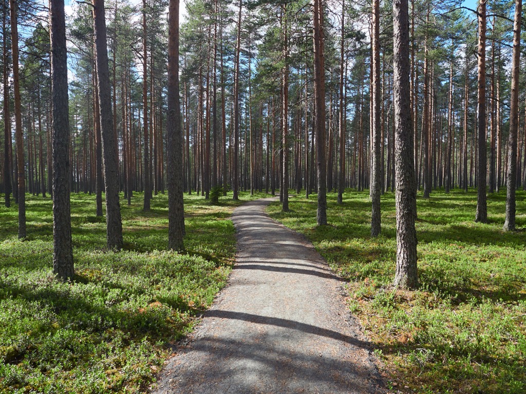
The two main hiking areas in the South Ostrobothnia region are two of Finland’s 40 national parks. In addition to Lauhanvuori National Park, there is Kauhaneva-Pohjankangas National Park, located next door.
The longest route of the first park is the Terassikierros loop trail (9 km / mi). You can also connect it with the 22.3 km (13.8 mi) long Lauhanvuorenkierros trail at the nearby Lauhansarvi Nature Tourism Center to make a great 30 km (18.6 mi) lap.
The longest route of the second park is the Katikankanjoni loop trail (2 km / 1.2 mi). The trail runs along the Katikankanjoni, a deep canyon with narrow ridges in the middle of a shady spruce forest at the upper course of the Hyypänjoki River, which I have already mentioned.
But the Kauhaneva-Pohjankangas National Park is known primarily for the Kyrönkankaantie Road, a historical route, which has for centuries connected Ostrobothnia to Southern Finland. Today it is used more as a recreational trail for mountain bikers, but Finns carefully preserves its memory: It is an official museum road of the Finnish Transport Infrastructure Agency.
Finally, another good area for hiking in South Ostrobothnia is Levaneva Nature Reserve (Levanevan luonnonsuojelualue), located halfway in neighboring Ostrobothnia. Its longest route is Kurjenkierros (Crane’s Path) which is 45 km (27.9 mi) long.
Simpsiö Ski Resort is the largest ski resort in South Ostrobothnia, located on Mount Simpsiö (130 m / 427 ft), which gave it its name. The resort has 1.8 km (1.1 mi) of slopes and 6 ski lifts. The larger resorts in the historic province are located in North Ostrobothnia: Ruka Ski Resort and Iso-Syöte Ski Resort.
Learn more about these and other ski resorts in Finland at World Mountain Lifts in PeakVisor.
When traveling in the South Ostrobothnia region, visit one of its official tourist offices and info points, which are located in almost all towns and resorts, starting with Seinäjoki.
Seinäjoki Tourist Information Service
Tiedekatu 2, 60320, Seinäjoki, Finland
Open on weekdays from 10 am to 4 pm
+35864209090
When visiting the South Ostrobothnia region you can find almost all existing types of accommodation: hotels, apartments, B&Bs, cottages, and others. However, if we are talking about hiking, it is mostly different huts and campsites. To give you an example, here's what you can find in the region's two national parks as the most popular places for outdoor activities:
As everywhere else in Finland, you can pitch your tent literally everywhere following the Everyman's Right law, even on private property, but not within the national parks.
Seinäjoki is the largest city in the South Ostrobothnia region with a population of 64,743 (2021) people.
The city and the region is often associated with Finland’s most famous architect, Alvar Aalto, for the simple reason that the small town of Kuortane in South Ostrobothnia is his birthplace.
Aalto’s work was largely inspired by Finnish nature, hence most of his buildings—large and spacious, yet minimalistic and straight in the forms with lots of windows—are a continuation of it, especially in winter, when they merge with the snow-covered landscape.
When Aalto was 5 years old, his family moved to Alajärvi, and then to Jyväskylä in Central Finland, where he spent most of his life and where most of his works are located, including a museum dedicated to him and his creations. But the small town of Seinäjoki is home to the second or third largest collections of his buildings in Finland.
So the main architectural and cultural attractions of the city are a series of his works, which he completed in the mid-20th century, winning a competition to create a composition of the city center. Today it is known as Alvar Aalto's Central and Administrative Centre or simply Aalto Centre (Aaltokeskus). It includes six buildings, located next to each other:
In addition, he also designed the Defense Corps Building at Seinäjoki and the Youth Association Building at Alajärvi in more traditional styles.
Except for Jyväskylä and Seinäjoki, Alvar Aalto's other famous collections of buildings are located in Rovaniemi, and Helsinki, as well as in some cities outside of Finland. Check it on Alvaraalto.fi/en/works/architecture.


Yes. South Ostrobothnia has 162 named mountains. The highest is Raitamäki at 241 m.
The highest mountain in South Ostrobothnia is Raitamäki, at 241 m.
South Ostrobothnia has 162 named mountains.


