Get PeakVisor App
Sign In
Search by GPS coordinates
- Latitude
- ° ' ''
- Longitude
- ° ' ''
- Units of Length

Yes
Cancel
❤ Wishlist ×
Choose
Delete
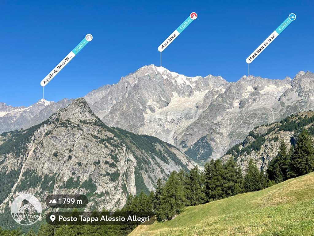
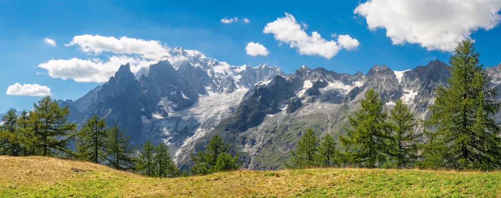
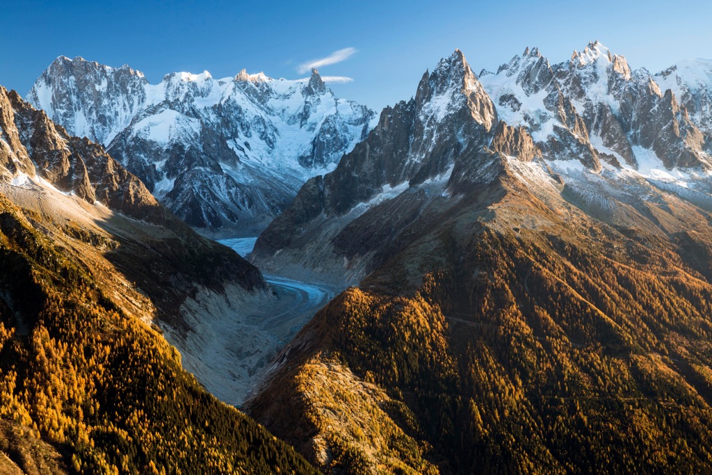
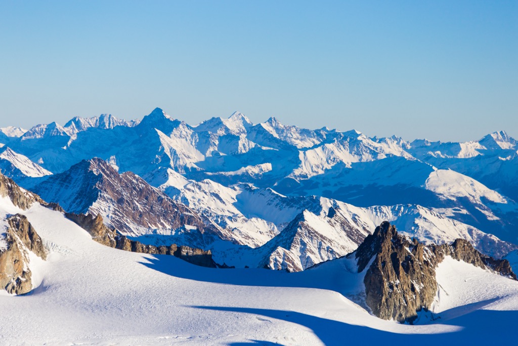
The Mont Blanc Massif is the home of Mont Blanc (Italian: Monte Bianco) (4,808 m / 15,774 ft), the tallest and most prominent (4,696 m / 15,407 ft) peak in the region and western Europe. Most of the massif sits within the governmental department of Haute-Savoie in the Western Alps of Southeastern France. However, the southern side is part of Italy, while the northeasternmost tip is in Switzerland. Chamonix, occupying the massif’s northwestern L’Arve Valley, is indisputably the most famous - or should we say infamous - mountain town in the world.
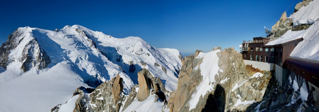
The Mont Blanc Massif features 11 distinct peaks over the iconic 4,000-meter mark (13,123 ft). The massif is quite large at 46 km (29 mi) by 20 km (12 mi), forming the shape of a kidney bean in a southwest-to-northeast direction.
The massif acts as a natural divide, serving as a watershed that separates the expansive catchment areas of the Rhône and Po rivers. The summit of Mont Dolant serves as a tripoint where the borders of France, Italy, and Switzerland converge.
Moreover, the massif distinguishes two distinct climate regions, effectively dividing the northern and western Alps from the southern Alps.
The Mont Blanc Massif is defined by natural spaces, including mountains, glaciers, ice fields, forests, valleys, and lakes. Historically, the region’s demographic was subsistence farmers, shepherds, and pastoralists. Tourism and recreation have since become the primary economic driver. Today, the massif is one of the world’s most beautiful and well-equipped vacation destinations.
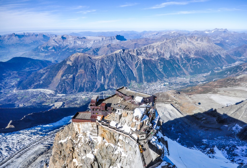
The L'Arve Valley offers five ski areas and is legendary for providing access to off-piste skiers. The Aiguille du Midi is hands-down the most extreme ski lift in the world, and, at 3800 m (12,467 ft), one of the highest in Europe.
On the other hand, Courmayeur is home to an incredible lift system highlighted by the Skyway Monte Bianco, which reaches over 3400 meters (11,150 ft) at Pointe Helbronner. The Skyway is Cormayeur’s answer to the Aiguille du Midi and, like its more famous brother, provides incredible access to sightseers and extreme sports junkies alike.
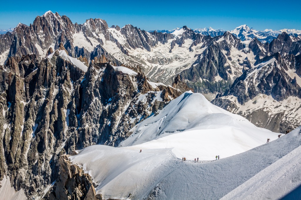
Due to its rugged topography, The Mont Blanc Massif heavily relies on mountain passes for trade and economic activities. Several significant passes facilitate transportation and commerce. The Mont Blanc Tunnel (11.6 km / 7.2 miles) is the most famous, linking Chamonix to Courmayeur in the Aosta Valley and enabling fast trade and travel between France and Italy - and, more generally, northern and southern Europe.
The scale of commerce through the Mont Blanc Tunnel - namely, large cargo trucks or lorries, as the British call them - has contributed to a persistent pollution problem in the L'Arve Valley.
The valley is prone to intense temperature inversions during the winter because of the scale of the Mont Blanc Massif and its numerous glaciers. Cold mountain air sinks into the valley and is locked in place. Pollutants become stuck, creating a layer of smog. It’s estimated that as much as 50% of the pollution originates from tunnel traffic, and the valley became noticeably cleaner after the 1999 Tunnel Fire closed the tunnel. Other pollution originates from wood-burning stoves, car traffic, and the industrial town of Sallanches in the valley below the L’Arve Valley.
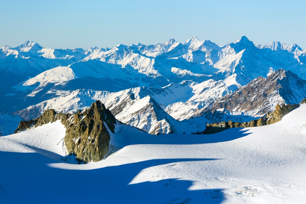
The Alpine Orogeny, which occurred between 64 and 2.5 million years ago, created the entire European Alps. The orogeny results from the African and Indian plates colliding with the Eurasian plate, forcing the crust upwards.
In many places, the orogeny is ongoing - namely, the Himalayas, because the Indian plate has only recently collided with Eurasia and continues to exert force on the crust. Even at a few tens of millions of years old, the Alps are still young, hence the towering, jagged peaks and low valleys. The mountains have not had time to erode, and the valleys have not filled with sediment.
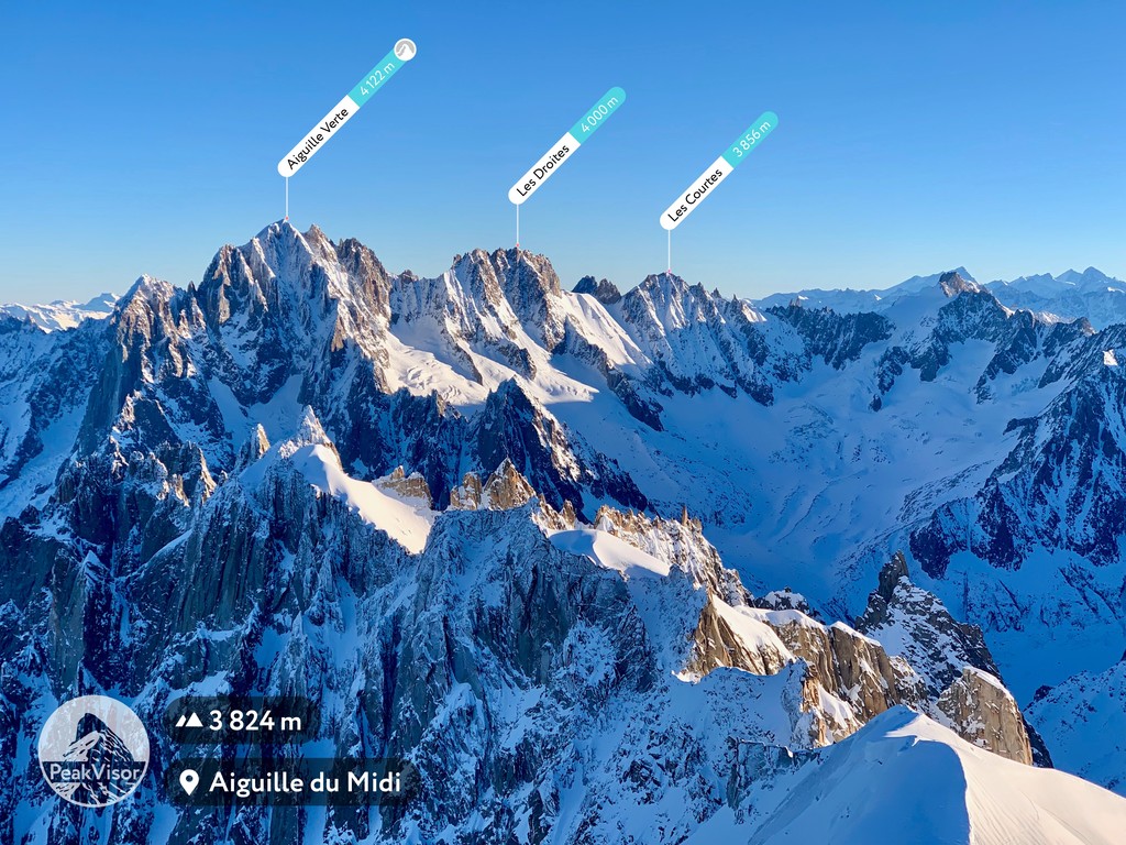
A granite batholith and glacial processes significantly influence the Mont Blanc Massif’s local geology. The batholith developed hundreds of millions of years ago, but the more recent Alpine Orogeny provided enough thrust for the granite to break through the surface. It also forms the base of the nearby Aiguille Rouges Massif, just across the L'Arve Valley from the Mont Blanc.
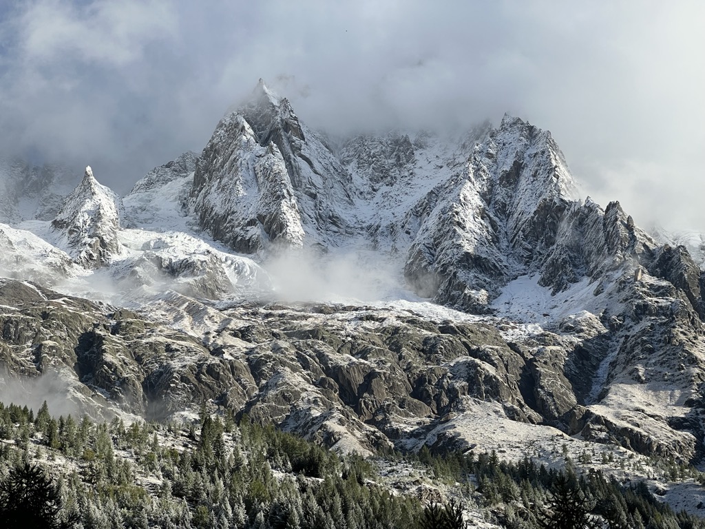
The orogeny was completed around Mont Blanc about 15 million years ago. Some peaks still show an annual rise of up to 2.5 mm, though geologists speculate this is due to the rock rebounding from the weight of melted glaciers.
Since then, successive ice ages have been the primary geological driver of change. At times, an 1000m thick ice sheet has stretched from the L'Arve Valley to Lyon, hundreds of kilometers away. Other times, the highest summits have seen little to no ice. These ice movements have shaped the region’s lower valleys while the ice continues to scour the higher alpine valleys.
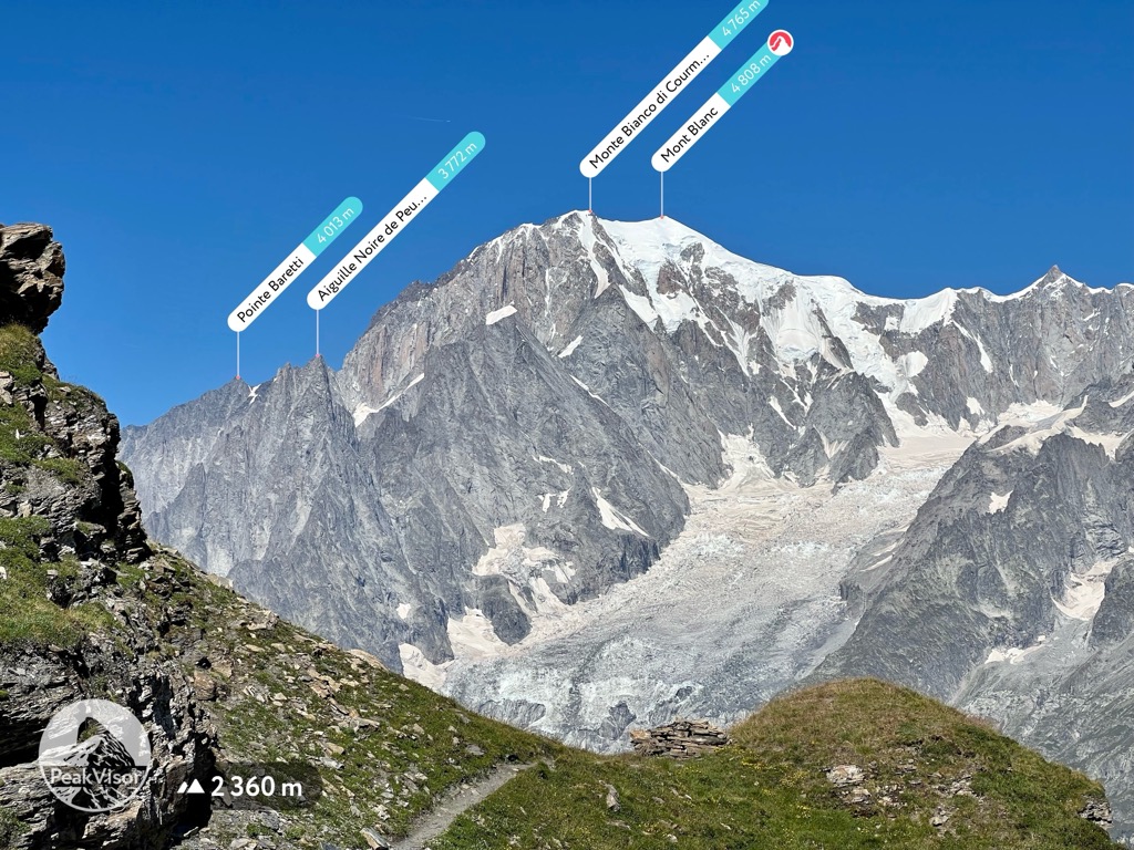
Vast fir, spruce, and larch forests thrive below 2000 meters, with rock and ice fields above 2700 meters. The massif’s lowest-elevation forests consist of deciduous tree species such as beech, alders, maples, birches, service trees, willows, and laburnums.
Of the thousands of plant species, the most famous include edelweiss, blue thistle, and génépi (used to make a type of hard liquor called a ‘digestif’). Wildflowers are rampant throughout the meadows, especially where livestock graze and fertilize the soil.
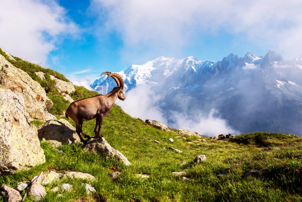
The forests and alpine meadows of the Mont Blanc Massif are enchanted. Here, you will find chamois, ibex, wolves, lynx, golden eagles, bearded vultures, tawny vultures, owls, rock ptarmigan, tetras, ermines, hares, foxes, squirrels, marmots, and many other animals.
Black crows, a.k.a. Alpine Chough, soar amongst the rocky spires and peaks and carry special significance in the L'Arve Valley. It’s said that these black birds flitting amongst the great mountains are the souls of fallen skiers and climbers. Folks respect them and generally appreciate their presence.
On the Mont-Blanc Massif, the alpine slopes are the wildest spaces. The surrounding valleys have towns and villages but no pockets of true wilderness. Ski slopes (winter) and livestock (summer) dominate the median altitude. Because it’s such a legendary mountaineering destination, even the outer reaches of this massif feature a human presence in the form of climbers and alpinists.
Anatomically modern humans probably arrived in the region around 40,000 years ago. However, limited evidence of these early pioneers exists.
Celtic tribes, specifically the Gauls, occupied most of pre-Roman France. In the valleys around Mont Blanc, the Romans subdued the Gauls by 125 B.C. After the fall of the Roman empire and throughout the Dark Ages, these valleys passed through the hands of many rulers.
In the 14th century, the House of Savoy began a 500-year rule of the region stretching from the northern Italian plain to Geneva and south to Nice, including the valleys surrounding the Mont Blanc Massif. It became known as the Duchy of Savoy for most of this time and was a formidable state.
In 1563, the House of Savoy moved the capital from Chambery, their ancestral homeland, across the Alps to Turin. More importantly, the Alps proved too potent a geographical barrier for Italy - the region of Savoy west of the Alps increasingly identified with French culture. France invaded during the Revolution and formally annexed the state in 1860.
The Annexation resulted from political maneuvering on both sides of the Alps. Italy needed French support for unification in the face of the waning Holy Roman Empire. Recognizing their tenuous grip on the region of Savoy from across the towering alpine ridge, they offered it to France in exchange for support. Italy maintained control of the land south and east of the Mont Blanc Massif, while the northern side became French.
The inhabitants of the region were generally pleased by this arrangement. The French Savoie has its own culture - known as ‘Savoyard,’ in French - but this culture is drastically more French than Italian.
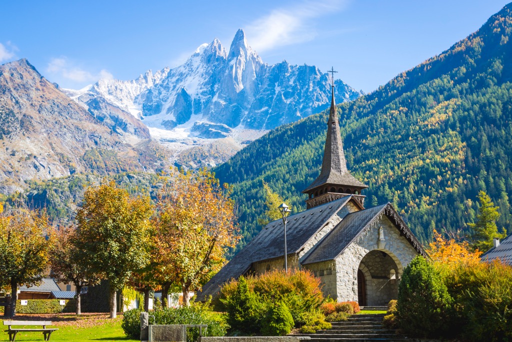
Around Mont Blanc, the cultural difference between the Italian Courmayeur and the French Chamonix is astounding, considering they are just a few kilometers away as the crow flies. However, before the Mont Blanc Tunnel, these two towns might as well have been hundreds of kilometers away. The Mont Blanc Massif is a formidable geographic barrier. Nevertheless, Courmayeur and other towns of the Aosta Valley have French names, showcasing their Savoie history.
With the Annexation, France gained many peaks in their territory. Formerly, the tallest mountain in France was the Barre des Écrins (4,102 m / 13,458 ft), but it was now Mont Blanc.
The town of Chamonix was quickly becoming the global center for mountaineering endeavors. In 1786, a duo of Chamonix locals - Jacques Balmat and Dr. Michel Paccard - became immortalized with their ascent of Mont Blanc. This ascent launched the sport of mountaineering. The Aiguille du Midi saw a first ascent in 1818, but climbers did not successfully summit any other major peaks until 1864.
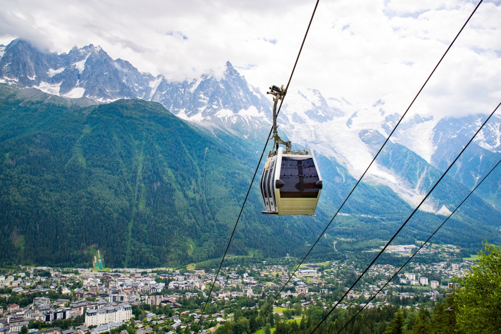
The pursuit of glory in the mountains was becoming popular amongst the mostly-aristocratic leisure classes of Britain. Peasants, namely those from the alpine villages in the L'Arve Valley, served as guides to these ambitious foreigners. After all, they knew the mountains best. The Chamonix Guides Company was established in 1823, and the Alpine Club in 1857 in London.
Soon after, even the most unfathomable summits from earlier generations quickly fell. Years later, teams from Cham conquered 8,000-meter peaks in the Himalayas, like Annapurna. Nowadays, few summits remain unclimbed, and few objectives un-ticked. It all began in Chamonix.
Fittingly, Chamonix hosted the first Winter Olympics in 1924. ‘White Gold’ became an obsession amongst mountain communities across the Alps. Villages rushed to build ski lifts and capitalize on the winter tourism boom.
In the 60s and 70s, extreme skiing was born in the L'Arve Valley with legends such as Patrick Vallancant and Anselm Baud.
Chamonix and Courmayeur offer world-class options for the following hobbyists: skiers, climbers, road cyclists, mountain bikers, hikers, trail runners, fishermen, hunters, paragliders, speed flyers, and even wing-suiters.
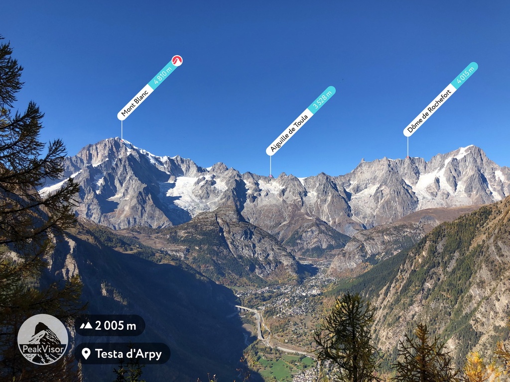
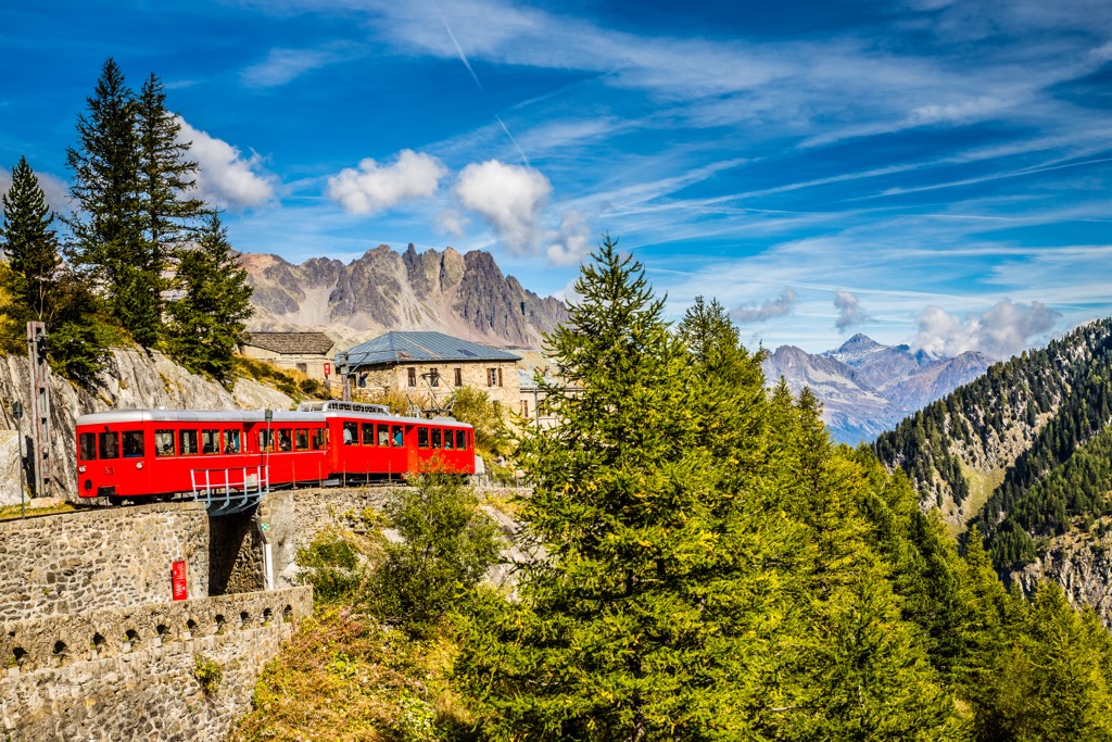
Most people who visit the Haute-Savoie make a stop in Chamonix. If you are physically fit enough, this is the classic day hike with incredible panoramas of the Valley and the mountains. Take the Aiguille du Midi lift to the mid-station and follow the signs for the Grand Balcon. The trail traverses to the Montenvers train station and the Mer de Glace glacier overlook; you can also start at the train and hike to the Aiguille.
One way, the hike is about 7 km (4 mi) with 400 m (1,320 ft) of elevation gain. The trail undulates up and down, with plenty of large boulders and scrambling sections. In typical Chamonix style, you shalt not pass without taking just a bit of risk. The trail is clear July - September, but any earlier or later, and you should bring crampons and boots.
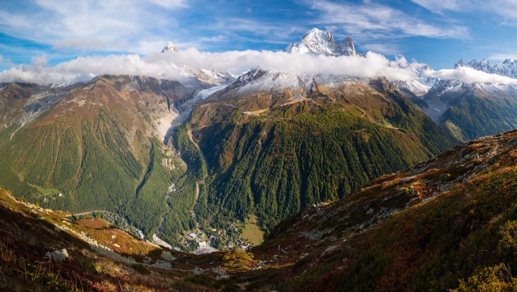
The Tour du Mont Blanc holds a reputation as one of Europe's most classic long-distance trekking routes. Encompassing the Mont Blanc massif, the trail stretches approximately 165 kilometers (103 miles) and involves about 10,000 meters (33,000 ft) of ascent and descent, leading through picturesque regions of Switzerland, Italy, and France.
The loop is typically completed counterclockwise, taking hikers around 9-14 days to finish the journey. The path serves as the course for an annual long-distance foot race, with the fastest athletes often covering the entire distance in less than a day.
Plentiful accommodation exists along the route in the form of refuges and hotels, so carrying the usual backpacking get-up is unnecessary. Nevertheless, hikers must be aware of changing mountain weather conditions, as the route reaches nearly 2,700 m (8,600 ft).
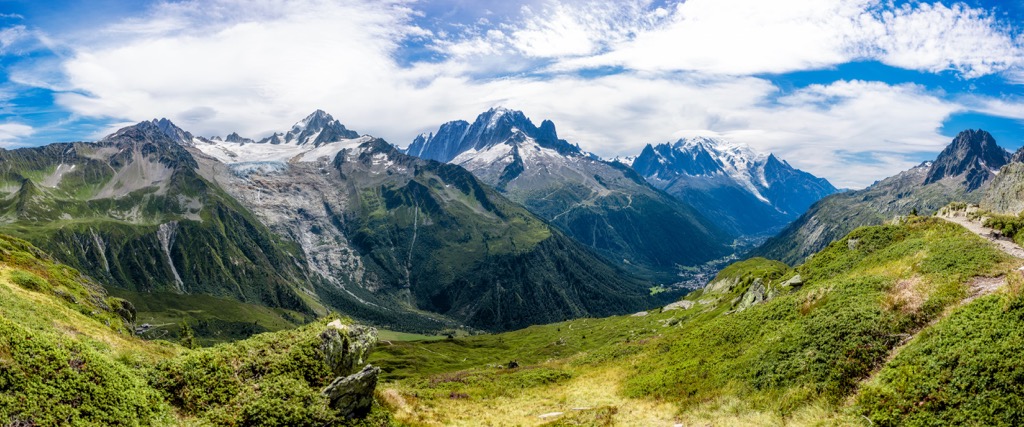
Hikers can also backcountry camp; the gear is heavy, but this saves the hassle of competing for accommodation on this popular route.
This legendary point-to-point hike starts in the Haute-Savoie but is ultimately a multi-national adventure. The journey takes 10-12 days, although planning for a few days of inclement weather is essential. Most people make this trip with guided outfitters; no technical sections of trail exist, but guiding companies make reserving your refuge/mountain hut/hostel every night a bit easier and eliminate some of the dangers of the unknown.
The route is about 180 km (115 mi), with thousands of meters of vertical rise and descent. You do about 1000 m (3,300 ft) daily in the typical itinerary.
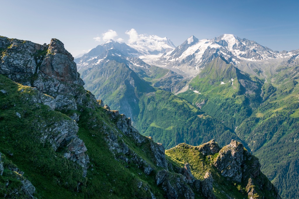
Naturally, you’ll need to research before embarking on this journey. Don’t just take my word for it; many great sources - like Kev Reynolds’ guide - will point you in the right direction to ensure the trip is memorable.
The next time you go skiing - especially if you ski off-piste - you have Chamonix to thank. They hosted the Winter Olympics in 1924 and discovered the power of ‘white gold,’ the idea that skiing could rejuvenate aging, economically depressed mountain villages throughout the country (and the world).
L'Arve Valley boasts five ski resorts plus the Aiguille du Midi lift-access domain. Les Houches, Le Tour, and Flégère are the go-to spots for beginners and intermediates. That’s a lot of skiing for beginners in a valley known for the sport's extreme fringe. It turns out that Cham is one of the best towns for beginners and intermediates, in my opinion. Le Flégère is south-facing and gets warm sun during February and March.
Brévent and Grands Montets offer some skiing for intermediates, but advanced skiers will enjoy these resorts more. Both resorts access incredible terrain beyond the ‘boundary’ - I use quotes because the areas here don’t have boundaries like resorts in North America do.
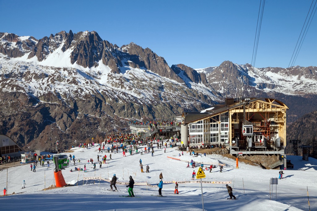
Lastly, the Aiguille du Midi accesses the most extreme lift-access terrain in the world, suitable only for the most daring and skilled skiers. Intermediates can also ski the Valley Blanche - the Mer du Glace glacier - which is a bit like a 20 km traverse. You’ll have to get a guide, though; there are some technical sections and risk of crevasse fall, even though the actual skiing is relatively easy.
Flégère and Brévent are connected; otherwise, the resorts are separated, and you must take the bus (or train) between them. Word to the wise; don’t drive, as the parking situation is miserable.
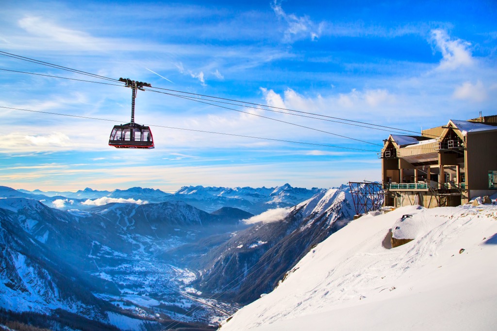
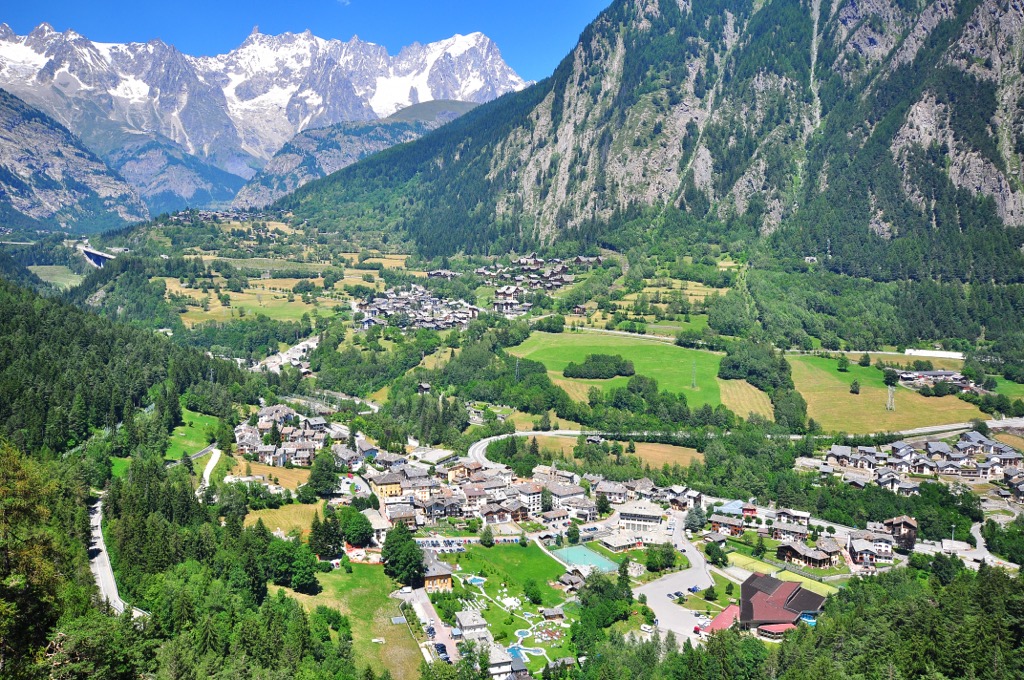
Situated in the renowned Aosta Valley, Italy, the Courmayeur ski resort boasts a perfect location on the sun-kissed side of the Mont Blanc Massif (Monte Bianco on this side).
Convenient lift access near the town center enables skiers to swiftly access a wide range of skiing and snowboarding, catered to families seeking a friendly experience and thrill-seekers looking for an adrenaline rush.
The ski terrain offers 1,545 meters of vertical descent from the primary ski resort area. The flanks of Monte Bianco host vast off-piste descents, offering an incredible vertical of over 2,150 meters from Punta Helbronner at the top of the Skyway lift. Moreover, the on-mountain dining at Courmayeur is better and much cheaper than Cham.
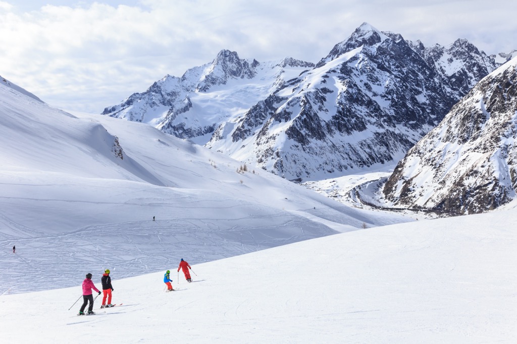
In my experience, one of the downsides of Courmayeur is the southern aspect. The powder doesn’t last as long here because the sun immediately turns it into mush. You better get up early because the clock is ticking here, and it’s not just because of other skiers eager to get to your line first.
Chamonix is where it all started. Here is the original mountain town in all its glory. The valley comprises the town of Chamonix and several small villages with relatively little destructive development. The number of attractions and opportunities is endless, whether summer or winter.
Cham sees 2.5 million visitors annually, so you need to expect crowds. The town’s permanent population of 10,000 swells to 30,000 in the winter and 60,000 in the summer. When I visit Cham, I first think, “How am I going to avoid the crowds today?”
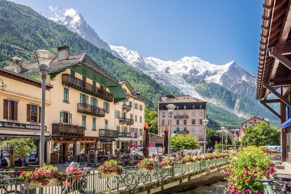
The answer to that question is the mountains. The Mont Blanc Massif and Aiguille Rouges are simply so massive that there are not enough fit people to fill their spaces. You’ve got the world’s best access to alpine climbing, extreme skiing, and trail running within the valley - these are incontrovertible facts, not opinions. The access, natural beauty, radical terrain, and extreme sports culture push this valley to the forefront.
You can also just relax at a cafe and stare up at the peaks, safe in the knowledge that, today, you will not be one of the hundreds of people to die up there every year.
The food scene in Cham is particularly good for a ski town. Many French restaurants showcase the Savoyard alpine fare, and you can even find international food, like Annapurna (Indian), in downtown Chamonix. La P'tite Verte - classic Savoyard - is the best restaurant in the Argentière village, and I tried them all (at least in 2015, and things don’t change too fast around here).
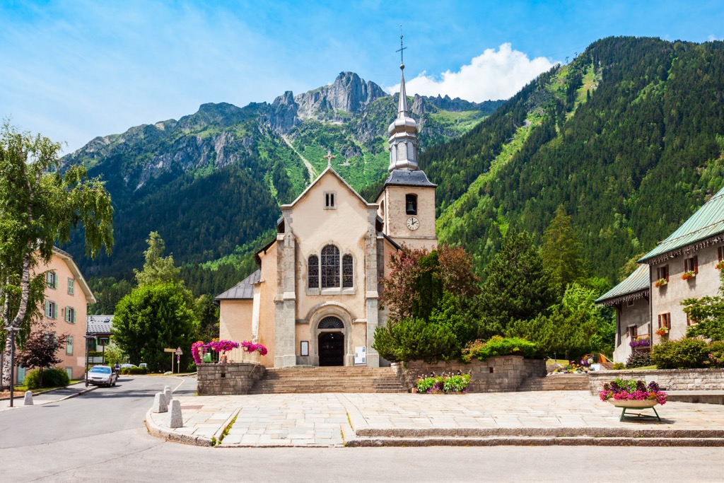
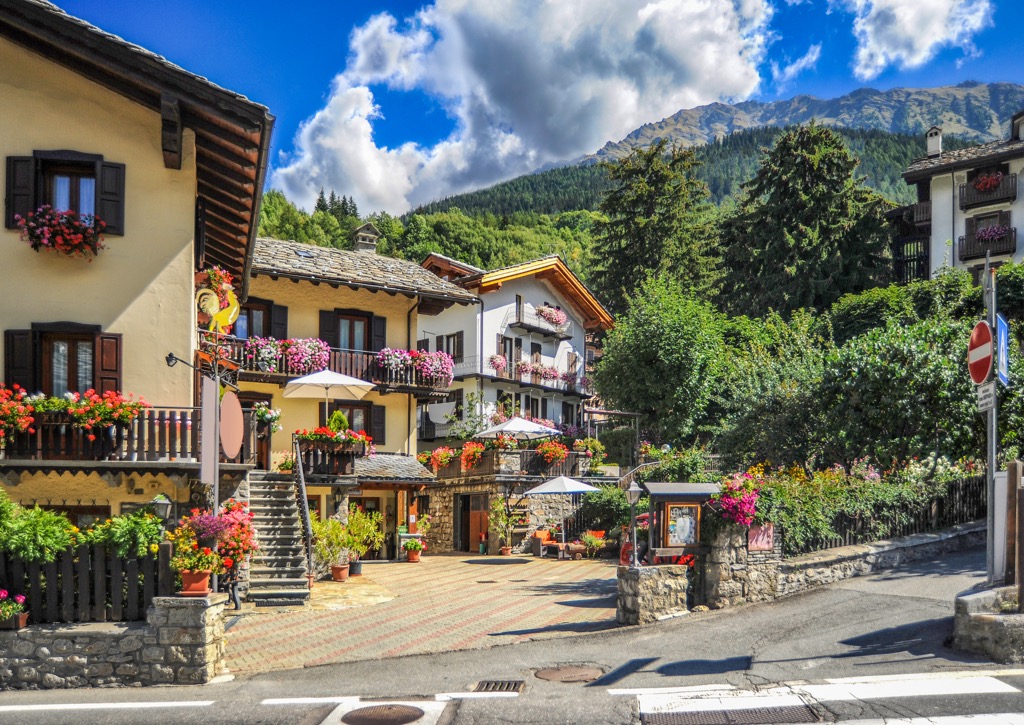
Courmayeur offers a blend of authenticity, elegance, and tradition compared to the overcrowded town of Chamonix. A diverse array of activities and services are tailored to cater to the needs of both Italian and international travelers.
Courmayeur, complemented by the priceless backdrop of the Monte Bianco, features excellent dining options and lift access (Skyway) that is only overshadowed by the Aiguille du Midi. Overall, it's a bit cheaper than Cham. Still, it’s extremely expensive for Italy, which is far more affordable on the whole than France.
If it’s your thing, Courmayeur also features a fair bit of shopping, showcasing Italy’s fashion legacy. Wealthy tourists, rather than grungy mountain guides, dominate the people-watching at the cafes.
Explore Mont Blanc massif with the PeakVisor 3D Map and identify its summits.




top10
ultra
glacier
europe-4500ers
alps-4000ers
italy-ultras
france-ultras
top10
ultra
glacier
europe-4500ers
alps-4000ers
italy-ultras
france-ultras
