
 Historic site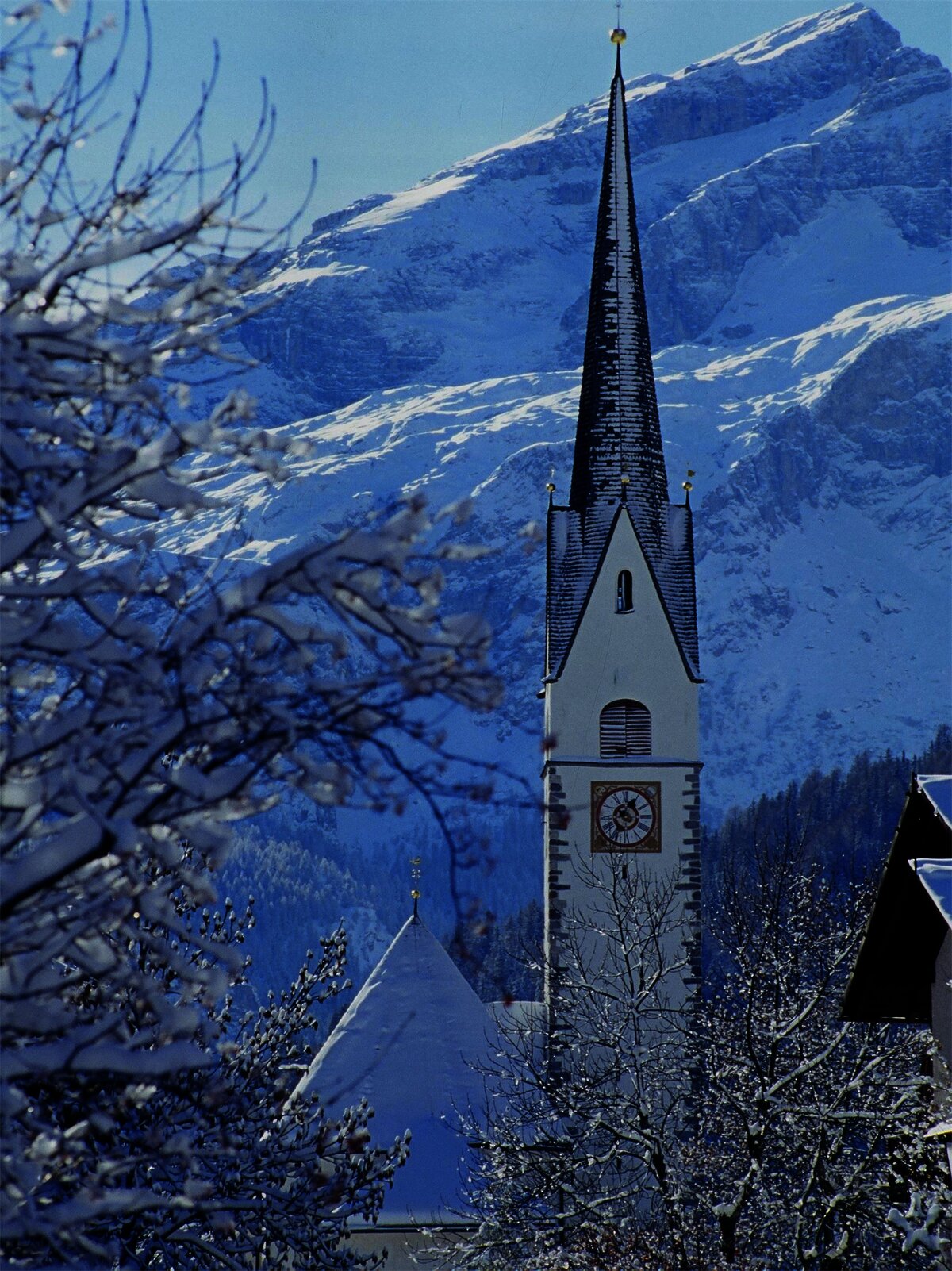












Curated by Alta Badia Tourism Cooperative
Corvara in Badia/Corvara
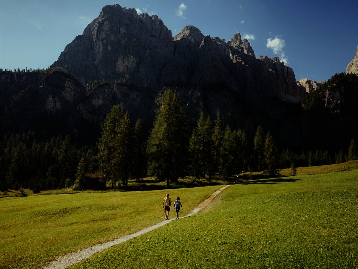
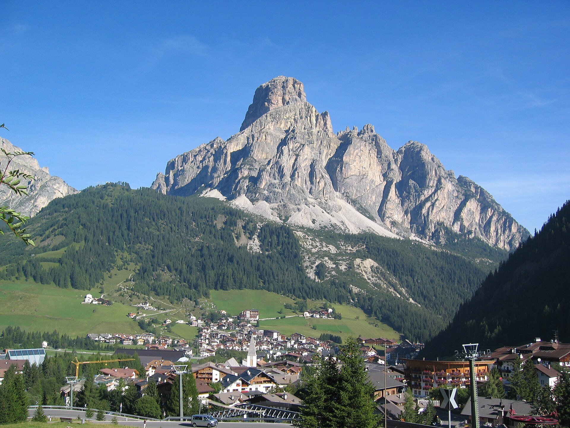
The highest and largest village in Val Badia, set below the Sassongher on the Sella Ronda circuit, with the Puez-Odle nature park on its doorstep.
- 11Highlights
- 52Routes
- Featured summit · Cresta Strenta
Highlights
4 from neighbouring places
Cascate del Pisciadú
A waterfall dropping from the Pisciadù shelf below the Sella group, reached on the path up from Colfosco.
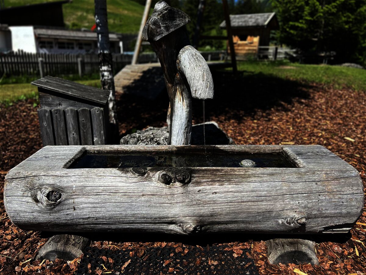
Fontana lago biotopo Corvara
A small protected wetland on the valley floor at Corvara, with a marked path around the pools.
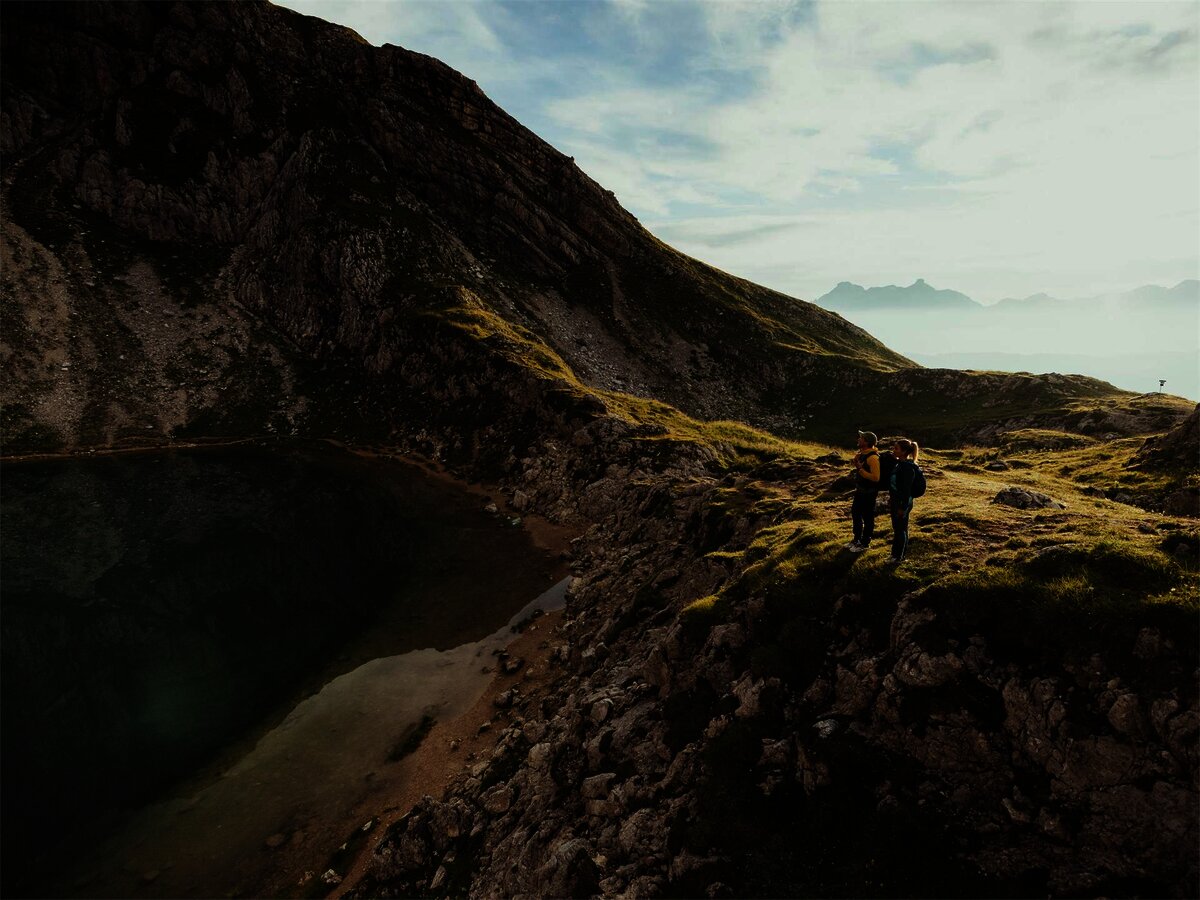
Lech de Boé
A small lake in the high basin below the Boè group, on the path from the Vallon lift.
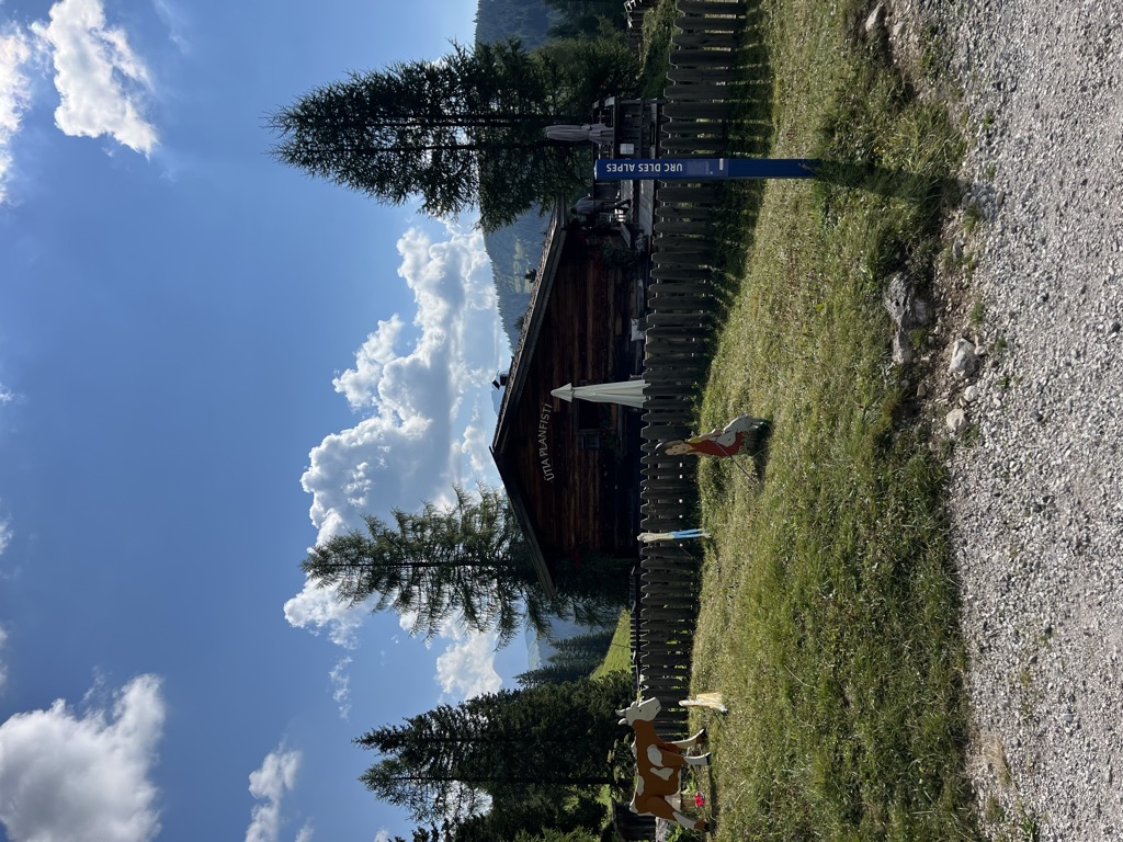
Malga Munt Planfistí
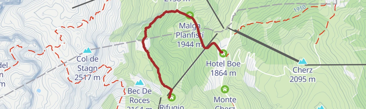
A small family-run pasture hut at 1,944 m above Corvara in Badia, keeping goats and selling its own goat products and home-made cakes.
Sterzing, Pfitsch und FreienfeldParco Naturale Puez
A nature park of layered limestone plateaux between the Val Badia and the Val Gardena, part of the Dolomites World Heritage site.
Piz Arlara
An alpine restaurant at 2,016 m on the heights east of Corvara in Badia, the largest village of the upper Val Badia.
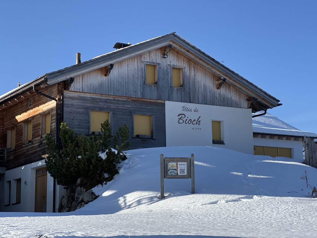
Rifugio Ütia de Bioch
A Ladin mountain hut at 2,076 m on the high pastures between Corvara and La Villa, on the walk over the Pralongiá from San Cassiano.
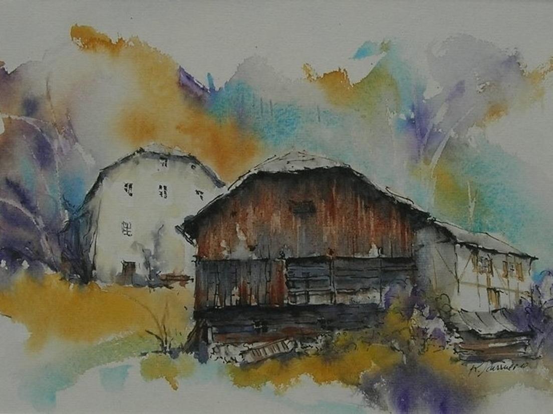
Galaria d'Ert Acuarei
A gallery in Corvara showing watercolours by Ladin painters of the Dolomites.
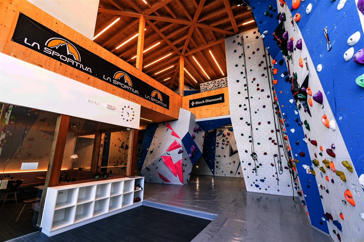
Boulder Center Corvara
Indoor bouldering walls in Corvara, useful when the Sella faces are wet.
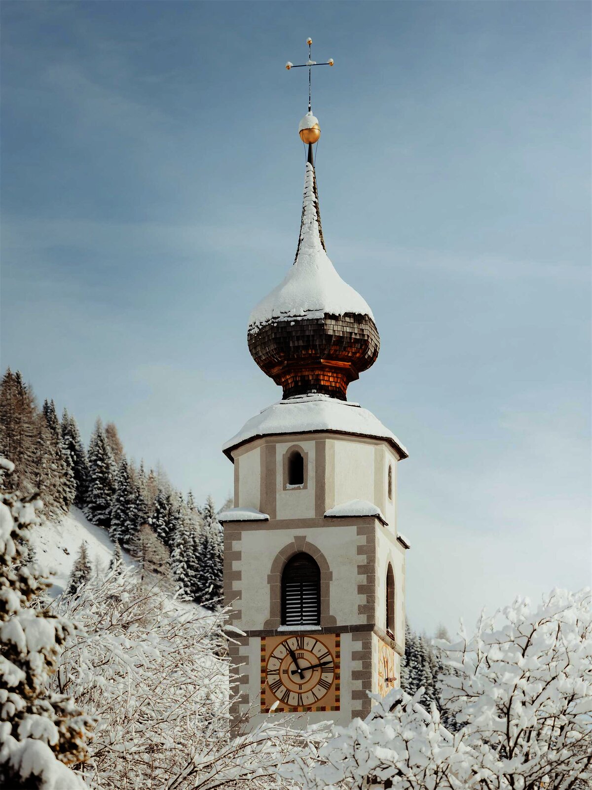
Chiesa di San Vigilio a Colfosco
The parish church of Colfosco, its slender spire a landmark against the Sella walls.
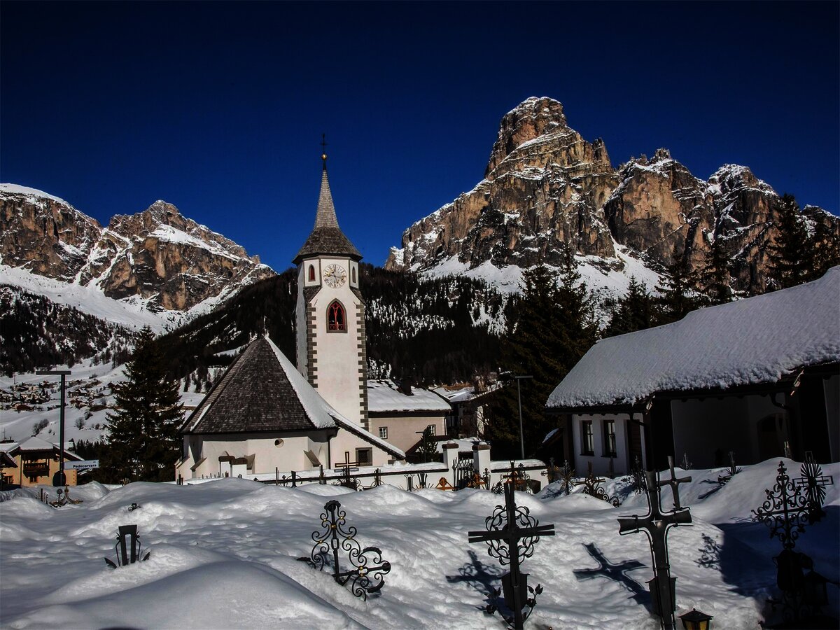
Chiesa di Santa Caterina
Corvara's old parish church, Gothic in origin, with a frescoed interior below the Sassongher.
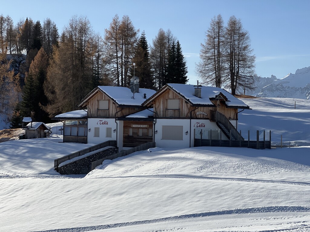
Rifugio I Tablà
3.9 km away, in Badia/Abtei
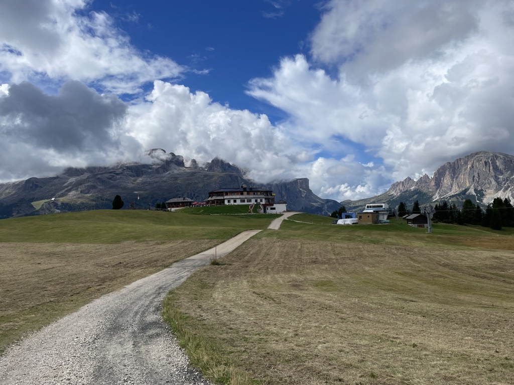
A hut at 2,022 m on the slopes above La Villa in the upper Val Badia, on the panoramic walk across the Pralongiá, Bioch and Arlara plateau.
Castello "Ciastel Colz"
4.5 km away, in Badia/Abtei
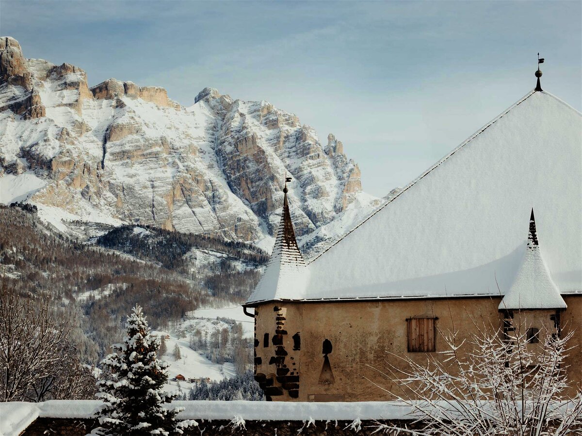
A fortified manor of 1530 at La Villa in the Alta Badia, now run as a restaurant.
Chiesa parrocchiale La Villa
4.8 km away, in Badia/Abtei
The parish church of La Villa in the Alta Badia.
Cesa del Louf
5.5 km away, in Livinallongo del Col di Lana
A restored Ladin farmhouse at Arabba, kept as a museum of the valley's building and farming.
Nothing of this kind in Corvara in Badia/Corvara.
Routes
50 routes, an even mix of activities · see the rest on altabadia.org ↗
Pisciadù (Tridentina al Pisciadù)
One of the busiest protected climbs in the Dolomites: up past a waterfall and over a suspension bridge to the lake and hut below the Sella walls.
- 6.9 km
- Distance
- 762 m
- Ascent
- 5 h 48 min
- Duration
- 375
- Check-ins
 Col du Frea 2 233 m
 Gardena Pass 2 121 m
 Rifugio Frara 2 127 m
- Utia Pisciadù - Pisciadù Hütte - Rifugio Franco Cavazza al Pisciadù 2 587 m
Open route Sterzing, Pfitsch und FreienfeldScalata al Gran Cier
A cabled climb to the Gran Cier, the easiest summit of the Cier group above Colfosco, often done early for the sunrise on the rock.
- 3.5 km
- Distance
- 457 m
- Ascent
- 3 h 21 min
- Duration
- 337
- Check-ins
Open route Sterzing, Pfitsch und FreienfeldVia ferrata Brigata Alpina Tridentina al Pisciadú
The Tridentina route to the Pisciadù in the Sella group, steep and much frequented, with a bridge slung across the gap near the top.
- 4.4 km
- Distance
- 674 m
- Ascent
- 4 h 50 min
- Duration
- 89
- Check-ins
Open route Sterzing, Pfitsch und FreienfeldGran Cir (Cima del Gran Cir)
A short and much-frequented protected climb, facing the north walls of the Sella group, the Sassolungo and the Puez plateau.
- 2.8 km
- Distance
- 461 m
- Ascent
- 3 h 16 min
- Duration
- 63
- Check-ins
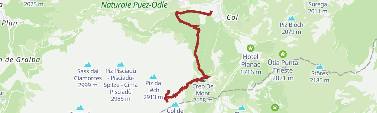
Open route Sterzing, Pfitsch und FreienfeldVia ferrata Piz da Lech
A cabled route through chimneys and clefts with two vertical ladders to the Piz da Lech, starting by the Kostner hut above the Vallon lift.
- 3.0 km
- Distance
- 426 m
- Ascent
- 3 h 4 min
- Duration
- 24
- Check-ins
Open route Alta Badia Tourism CooperativeVia Ferrata Vallon
A cabled route in the Sella that is mostly straightforward, harder only past the suspension bridge near the end, with the inner valleys in view.
- 4.4 km
- Distance
- 438 m
- Ascent
- 3 h 25 min
- Duration
- 7
- Check-ins
Open route Alta Badia Tourism CooperativeVia ferrata del Vallon
A good first via ferrata for experienced hill walkers, easy along most of its length, with a few exposed moves after the bridge.
- 4.3 km
- Distance
- 436 m
- Ascent
- 3 h 24 min
- Duration
- 7
- Check-ins
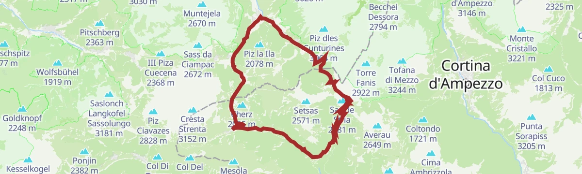
Open route Sterzing, Pfitsch und FreienfeldHike Planac - Cherz
An easy walk over the Corvara plateau, through flower meadow and shaded wood, out to the Cherz.
- 6.9 km
- Distance
- 188 m
- Ascent
- 2 h 22 min
- Duration
- 213
- Check-ins
- Cherz 2 095 m
- Ütia Cherz 2 095 m
- Ütia Punta Trieste 2 021 m
- Passo Incisa - Ju d'Inzija 1 938 m
- Ütia La Marmotta 1 950 m
- Ütia Incisa 1 930 m
Open route Alta Badia Tourism CooperativeEscursione al Piz Boé nel Gruppo del Sella
A demanding walk from Corvara to the Piz Boè at 3,152 m and down to Colfosco, over rock and scree with cabled sections; sure feet needed.
- 10.7 km
- Distance
- 876 m
- Ascent
- 6 h 21 min
- Duration
- 1087
- Check-ins
- Piz Boè 3 152 m
- Cresta Strenta 3 152 m
- Piz Léch Dlacè - Eisseespitze 3 009 m
- Col du Frea 2 233 m
- Le Ponte - Le Punte 2 814 m
- Gardena Pass 2 121 m
- +7
Open route Sterzing, Pfitsch und FreienfeldCrossing of the Sella group
A crossing of the Sella from the Sass Pordoi terrace over the Piz Boè and on towards the Bec de Roces.
- 12.6 km
- Distance
- 1 065 m
- Ascent
- 7 h 58 min
- Duration
- 1592
- Check-ins
- Piz Boè 3 152 m
- Sas de Pordoi 2 950 m
- Torre Roma 2 887 m
- Cresta Strenta 3 152 m
- Piz Léch Dlacè - Eisseespitze 3 009 m
- Bec De Roces 2 164 m
- +13
Open route Arabba Fodom TurismoItinerario di scialpinismo Planac - La Marmotta
A short ski tour up a beaten track through quiet forest to a viewpoint and the hut on the Pralongià plateau.
- 4.4 km
- Distance
- 269 m
- Ascent
- 44 m
- Descent
- 1 h 22 min
- Duration
- 94
- Check-ins
Open route Sterzing, Pfitsch und FreienfeldSingle Trail Frara
A short flowing trail near the Frara pass in Alta Badia, in meadows below the Sella walls.
- 3.7 km
- Distance
- 0 m
- Ascent
- 29 min
- Duration
- 430
- Check-ins
Open route Alta Badia Tourism CooperativeSellaronda MTB tour - clockwise
The clockwise way round the Sella massif, over the Pordoi and Gardena passes, the longer of the two directions.
- 67.7 km
- Distance
- 4 187 m
- Ascent
- 10 h 55 min
- Duration
- 3886
- Check-ins
- Piz Bioch 2 079 m
- Pralongiá 2 137 m
- Jouf de Pordoi - Passo Pordoi - Pordoijoch 2 239 m
- Rifugio Salei 2 225 m
- Gardena Pass 2 121 m
- Bar Funivia 2 240 m
- +56
Open route Alta Badia Tourism CooperativeMaratona dles Dolomites
The full marathon course from Canazei over the Sella, Gardena, Campolongo, Pordoi and Falzarego passes in a single day.
- 116.2 km
- Distance
- 3 599 m
- Ascent
- 13 h 42 min
- Duration
- 2924
- Check-ins
- Val Dantermont 1 728 m
- Jouf de Pordoi - Passo Pordoi - Pordoijoch 2 239 m
- Falzarego Pass 2 105 m
- Gardena Pass 2 121 m
- Bar Funivia 2 240 m
- L'Angolino del Sella 2 179 m
- +58
Open route APT Val di FassaBec de Roces
A short descent from the Bec de Roces chairlift above the Campolongo pass back to the valley road.
- 2.4 km
- Distance
- 32 m
- Ascent
- 51 min
- Duration
- 174
- Check-ins
Open route Arabba Fodom TurismoHiking to the Piz Boé peak in the Sella Massif
A hike up the most accessible three-thousander of the Sella, on rock, scree and cabled ground, demanding both from Corvara and on the descent.
- 12.1 km
- Distance
- 825 m
- Ascent
- 7 h 6 min
- Duration
- 898
- Check-ins
- Piz Boè 3 152 m
- Cresta Strenta 3 152 m
- Piz Léch Dlacè - Eisseespitze 3 009 m
- Torre Colfosco 2 529 m
- Le Ponte - Le Punte 2 814 m
- Rifugio Capanna Piz Fassa 3 152 m
- +7
Open route Alta Badia Tourism CooperativeDolomites World Heritage Geotrail II – Stage 6: from the Puez Hut to Armentarola
A long stage from the high Puez plateau, past bizarre rock shapes, down over the Pralongià pastures with the Sassongher rising ahead.
- 21.2 km
- Distance
- 696 m
- Ascent
- 7 h 33 min
- Duration
- 764
- Check-ins
- Piz Bioch 2 079 m
- Pralongiá 2 137 m
- Piz Arlara 2 015 m
- Piz D'alander 1 895 m
- Pralongià 2 130 m
- Ütia de Bioch 2 076 m
- +9
Open route Alta Badia Tourism CooperativeBike Beats - Fle Trail
A blue line running down the meadows from the Pralongià, a little over a kilometre with 134 m of drop.
- 1.9 km
- Distance
- 20 m
- Ascent
- 14 min
- Duration
Open route Alta Badia Tourism Cooperative"Sellaronda" MTB Tour TIMETABLE
A lift-assisted circuit of the Sella group, taking the Pordoi, Gardena and Campolongo passes and the trails between them.
- 62.5 km
- Distance
- 4 136 m
- Ascent
- 10 h 36 min
- Duration
- 3847
- Check-ins
- Piz Bioch 2 079 m
- Pralongiá 2 137 m
- Piz Arlara 2 015 m
- Jouf de Pordoi - Passo Pordoi - Pordoijoch 2 239 m
- Rifugio Salei 2 225 m
- Gardena Pass 2 121 m
- +55
Open route Arabba Fodom TurismoSellaronda
The four-pass Dolomite circuit ridden from Predazzo, over Passo Pordoi, the Sella Pass and the Gardena Pass around the Sella massif.
- 116.2 km
- Distance
- 2 555 m
- Ascent
- 12 h 43 min
- Duration
- 2454
- Check-ins
- Val Dantermont 1 728 m
- Jouf de Pordoi - Passo Pordoi - Pordoijoch 2 239 m
- Gardena Pass 2 121 m
- Bar Funivia 2 240 m
- L'Angolino del Sella 2 179 m
- In Sella 2 182 m
- +44
Open route APT Fiemme CembraHike Corvara - Colfosco
An easy riverside walk from Corvara by way of Pescosta to Colfosco and back.
- 4.8 km
- Distance
- 124 m
- Ascent
- 1 h 26 min
- Duration
- 105
- Check-ins
Open route Alta Badia Tourism CooperativeHike from Corvara to the Col Alt – Pralongiá plateau
A walk on gravel roads and broad tracks over the Pralongià plateau, past alpine pasture and huts, with the Marmolada glacier in the distance.
- 13.6 km
- Distance
- 632 m
- Ascent
- 4 h 46 min
- Duration
- 748
- Check-ins
- Piz Bioch 2 079 m
- Pralongiá 2 137 m
- Piz Arlara 2 015 m
- Pralongià 2 130 m
- Ütia de Bioch 2 076 m
- i Tablà 2 022 m
- +7
Open route Alta Badia Tourism CooperativeCampolongo Pass
A road climb to the Campolongo pass at 1,875 m between Arabba and Corvara, the lowest of the four Sellaronda passes and the most even in gradient.
- 24.7 km
- Distance
- 947 m
- Ascent
- 7 h 38 min
- Duration
- 343
- Check-ins
- La Tambra 1 843 m
- Zirmstube 1 563 m
- Monti Pallidi 1 540 m
- Tavern/Après Ski L'Murin 1 572 m
- Hotel Boe 1 864 m
- Campolongo Pass 1 875 m
- +3
Open route Dolomiti Bellunesi - The Mountains of VeniceSellaronda MTB tour - anti-clockwise
The anti-clockwise way round the Sella massif, by the Comici and Fredarola huts, with lifts taking the worst of the climbing.
- 57.5 km
- Distance
- 3 598 m
- Ascent
- 9 h 21 min
- Duration
- 2932
- Check-ins
- Col di Rosc 2 382 m
- Col Stravertei 2 254 m
- Val Dantermont 1 728 m
- Piza Pranseies 2 254 m
- Col Burz 1 941 m
- Emilio-Comici-Hütte - Rifugio Emilio Comici 2 153 m
- +49
Open route Alta Badia Tourism CooperativeSellaronda road bike tour
The road circuit of the Sella massif from Corvara, over the Pordoi and Gardena passes on twisting alpine roads.
- 50.6 km
- Distance
- 1 668 m
- Ascent
- 6 h 4 min
- Duration
- 2025
- Check-ins
- Jouf de Pordoi - Passo Pordoi - Pordoijoch 2 239 m
- Gardena Pass 2 121 m
- Bar Funivia 2 240 m
- L'Angolino del Sella 2 179 m
- In Sella 2 182 m
- Rifugio Frara 2 127 m
- +32
Open route Alta Badia Tourism CooperativeHike Corvara - La Villa
A quiet level walk from Corvara down the Rü Tort through woods and meadows to La Villa.
- 5.1 km
- Distance
- 20 m
- Ascent
- 1 h 20 min
- Duration
- 86
- Check-ins
Open route Alta Badia Tourism CooperativeFrom San Cassiano to Pralongiá until Corvara
A high crossing from Piz Sorega over the flowery Pralongia meadows to Corvara, facing the Lagazuoi, the Marmolada and the Sella group.
- 8.7 km
- Distance
- 163 m
- Ascent
- 2 h 52 min
- Duration
- 740
- Check-ins
- Piz Bioch 2 079 m
- Pralongiá 2 137 m
- Piz de Surega 2 011 m
- Forcelles 2 003 m
- Pralongià 2 130 m
- Ütia de Bioch 2 076 m
- +5
Open route Alta Badia Tourism CooperativeFrom Colfosco to the Sassongher and Gherdenacia, ending in La Villa
A climb to the Sassongher, the sheer tower above Corvara and Colfosco, then across the Gherdenacia and down to La Villa.
- 12.2 km
- Distance
- 1 136 m
- Ascent
- 7 h 23 min
- Duration
- 212
- Check-ins
Open route Alta Badia Tourism CooperativeRoad bike tour to the Fedaia pass
A long road loop from Corvara over the Gardena and Sella passes, then the Fedaia climb out of Canazei under the Marmolada.
- 80.3 km
- Distance
- 2 473 m
- Ascent
- 9 h 28 min
- Duration
- 2011
- Check-ins
- Val Dantermont 1 728 m
- Gardena Pass 2 121 m
- L'Angolino del Sella 2 179 m
- In Sella 2 182 m
- Rifugio Frara 2 127 m
- Sella Pass 2 240 m
- +35
Open route Alta Badia Tourism CooperativeBorest trail to the Pisciadú waterfalls
An easy family walk from Corvara to Colfosco over meadow and bridges to the foot of the Sella, where the Pisciadù falls come down.
- 3.7 km
- Distance
- 191 m
- Ascent
- 1 h 10 min
- Duration
- 80
- Check-ins
Open route Alta Badia Tourism CooperativeFresh snow descent from Val Mezdí valley in the Sella group
A short south-to-north traverse of the Sella followed by a steep run down to Colfosco, demanding in wind or on hard snow.
- 8.4 km
- Distance
- 113 m
- Ascent
- 4 h 2 min
- Duration
- 731
- Check-ins
- Sas de Pordoi 2 950 m
- Forcella Pordoi 2 848 m
- Rifugio Maria 2 950 m
- Rifugio Forcella Pordoi 2 848 m
- Rifugio Boé 2 871 m
Open route Alta Badia Tourism CooperativeRoad Bike Alleghe 4 - The Sella Route
The classic four-pass Sellaronda ridden from Alleghe by way of Arabba, taking in Passo Pordoi, the Sella Pass and the Gardena Pass.
- 100.9 km
- Distance
- 2 493 m
- Ascent
- 11 h 18 min
- Duration
- 2003
- Check-ins
- Jouf de Pordoi - Passo Pordoi - Pordoijoch 2 239 m
- Gardena Pass 2 121 m
- Bar Funivia 2 240 m
- L'Angolino del Sella 2 179 m
- In Sella 2 182 m
- Rifugio Frara 2 127 m
- +33
Open route Consorzio Operatori Turistici Alleghe - CaprileFood Forest: the forest garden of Passo Campolongo
A very short walk in the Masisti wood at the Passo Campolongo, replanted after the Vaia storm, with berries and fruit to pick.
- 558 m
- Distance
- 37 m
- Ascent
- 12 min
- Duration
Open route Alta Badia Tourism CooperativePanoramic hike on the Pralongiá - Bioch – Arlara plateau
A walk over the green plateau above Corvara, gentle open ground and flower meadow set among the pale Dolomite rock.
- 7.5 km
- Distance
- 150 m
- Ascent
- 2 h 26 min
- Duration
- 614
- Check-ins
- Piz Bioch 2 079 m
- Pralongiá 2 137 m
- Piz Arlara 2 015 m
- Pralongià 2 130 m
- Ütia de Bioch 2 076 m
- i Tablà 2 022 m
- +3
Open route Alta Badia Tourism CooperativeClassic "Sellaronda" route
A half-day road circuit of the Sella massif taking in Campolongo, Gardena, Sella and Pordoi, starting and finishing at Arabba.
- 52.6 km
- Distance
- 1 654 m
- Ascent
- 6 h 14 min
- Duration
- 1979
- Check-ins
- Jouf de Pordoi - Passo Pordoi - Pordoijoch 2 239 m
- Gardena Pass 2 121 m
- Bar Funivia 2 240 m
- L'Angolino del Sella 2 179 m
- In Sella 2 182 m
- Rifugio Frara 2 127 m
- +31
Open route Arabba Fodom Turismo"Val Mesdì"
A wide fresh-snow couloir in the Sella, north-east facing so it holds snow, mostly moderate but with scattered rocks at the start and finish.
- 7.7 km
- Distance
- 190 m
- Ascent
- 4 h 15 min
- Duration
- 604
- Check-ins
- Torre Roma 2 887 m
- Forcella Pordoi 2 848 m
- Rifugio Maria 2 950 m
- Rifugio Forcella Pordoi 2 848 m
- Rifugio Boé 2 871 m
Open route Arabba Fodom TurismoRoad bike tour to the legendary Giau pass
A road loop from Corvara to the Passo Giau, ten kilometres with long stretches above ten percent, returning by Falzarego.
- 76.0 km
- Distance
- 2 252 m
- Ascent
- 8 h 52 min
- Duration
- 1439
- Check-ins
- Passo di Giau 2 236 m
- Falzarego Pass 2 105 m
- Berghotel Passo Giau 2 235 m
- La Tambra 1 843 m
- Bar Bazar 2 106 m
- Rifugio "Passo Valparola" 2 168 m
- +25
Open route Alta Badia Tourism CooperativeDiscovering the legend "The Salvan of the Gardena pass"
A four-hour walk from Colfosco up to the Passo Gardena, following the tale of the Salvan, the little forest man of Ladin legend.
- 10.3 km
- Distance
- 582 m
- Ascent
- 4 h 6 min
- Duration
- 411
- Check-ins
- Gardena Pass 2 121 m
- Rifugio Frara 2 127 m
- Lujanta 1 682 m
- Mathiaskeller 1 677 m
- Malga Cir 2 093 m
- Cabane de Rü de Pisciadù 1 725 m
Open route Alta Badia Tourism Cooperative"Dolomites Bike Day"
A pass ride through the Fodom valley by way of Arabba, over the Falzarego to the Valparola and down into the Val Badia for one last climb.
- 50.9 km
- Distance
- 1 314 m
- Ascent
- 5 h 45 min
- Duration
- 1030
- Check-ins
- Falzarego Pass 2 105 m
- La Tambra 1 843 m
- Bar Bazar 2 106 m
- Rifugio "Passo Valparola" 2 168 m
- Valparola Pass 2 192 m
- Zirmstube 1 563 m
- +26
Open route Arabba Fodom TurismoPralongià
From the Cherz chairlift at Passo Campolongo by Passo Incisa and dirt road to Pralongia, returning through forest on the Jagerweg.
- 9.1 km
- Distance
- 502 m
- Ascent
- 3 h 32 min
- Duration
- 361
- Check-ins
- Pralongiá 2 137 m
- Cherz 2 095 m
- La Tambra 1 843 m
- Ütia Cherz 2 095 m
- Passo Incisa - Ju d'Inzija 1 938 m
- Ütia La Marmotta 1 950 m
- +1
Open route Arabba Fodom TurismoRoda de Fodom road bike tour
A road circuit from Corvara over the Falzarego and Valparola passes, on stages ridden by the Giro and the Dolomites Bike Day.
- 53.3 km
- Distance
- 1 399 m
- Ascent
- 6 h 3 min
- Duration
- 1013
- Check-ins
- Falzarego Pass 2 105 m
- La Tambra 1 843 m
- Bar Bazar 2 106 m
- Rifugio "Passo Valparola" 2 168 m
- Valparola Pass 2 192 m
- Zirmstube 1 563 m
- +23
Open route Alta Badia Tourism CooperativeHike from the Franz Kostner hut to Corvara via Crëp de Sela
A high descent from the Vallon at over 2,500 m across grass, slabs and scree by the Crëp de Sela down to Corvara.
- 8.8 km
- Distance
- 113 m
- Ascent
- 3 h 26 min
- Duration
- 350
- Check-ins
- Crep De Mont 2 158 m
- Rifugio Franz Kostner al Vallon 2 541 m
- Piz Boè Alpine Lounge 2 195 m
 Boesee - Lago di Boe 2 251 m
- Pizza Boe 2 196 m
- Bar del Lago 1 533 m
Open route Alta Badia Tourism CooperativeRoad Bike Alleghe 7 - Col di Lana route
A road loop from Alleghe around the First World War front lines of Col di Lana, over the Falzarego and Valparola passes.
- 77.4 km
- Distance
- 1 769 m
- Ascent
- 8 h 32 min
- Duration
- 970
- Check-ins
- Falzarego Pass 2 105 m
- La Tambra 1 843 m
- Bar Bazar 2 106 m
- Rifugio "Passo Valparola" 2 168 m
- Valparola Pass 2 192 m
- Zirmstube 1 563 m
- +24
Open route Consorzio Operatori Turistici Alleghe - CaprileClimbing the Gran Cier peak
A walk and scramble to the Gran Cier above Colfosco on the Gardena pass bends, the least difficult top in the Cier group.
- 3.3 km
- Distance
- 599 m
- Ascent
- 3 h 22 min
- Duration
- 337
- Check-ins
Open route Alta Badia Tourism CooperativeRoad bike tour to the passo delle Erbe/Würzjoch
A road loop from Corvara to the Passo delle Erbe, skirting the Puez-Odle park under the Dolomite walls.
- 68.9 km
- Distance
- 1 867 m
- Ascent
- 7 h 52 min
- Duration
- 403
- Check-ins
- Jü de Börz - Würzjoch - Passo delle Erbe 1 987 m
- Ütia de Börz - Würzjochhütte 2 007 m
- Ütia Cir 2 005 m
- Residence Elisa 1 559 m
- Hotel Bel Sit 1 513 m
- Malga Paraciora 1 377 m
- +8
Open route Alta Badia Tourism CooperativePasso Incisa and Cherz Plateau
The Jaegerweg from Passo Campolongo, a flat line on CAI 3 to Passo Incisa and its huts, across the sunny green Cherz plateau.
- 7.7 km
- Distance
- 318 m
- Ascent
- 2 h 35 min
- Duration
- 292
- Check-ins
- Cherz 2 095 m
- La Tambra 1 843 m
- Ütia Cherz 2 095 m
- Passo Incisa - Ju d'Inzija 1 938 m
- Hotel Boe 1 864 m
- Ütia La Marmotta 1 950 m
- +1
Open route Arabba Fodom TurismoRoad bike tour along the Val Badia valley
A road circuit from Corvara down to Piccolino, then up to the quiet hamlet of Mirí above San Martino in Badia.
- 60.3 km
- Distance
- 1 280 m
- Ascent
- 6 h 34 min
- Duration
- 155
- Check-ins
- Corf 1 539 m
- Malga Paraciora 1 377 m
- Glam's 1 425 m
- L'Fana 1 425 m
- Badia Pub 1 327 m
- Badia Tourist Office 1 332 m
Open route Alta Badia Tourism CooperativeCircular hike on the eastern side of the Sella massif
A loop from Corvara along the east edge of the Sella, without technical difficulty but of geological interest, crossing typical Dolomite strata.
- 5.1 km
- Distance
- 408 m
- Ascent
- 2 h 37 min
- Duration
- 265
- Check-ins
- Rifugio Franz Kostner al Vallon 2 541 m
- Piz Boè Alpine Lounge 2 195 m
- Boesee - Lago di Boe 2 251 m
- Pizza Boe 2 196 m
Open route Alta Badia Tourism CooperativeBec de Roces - Lake Boè
A trail below the Sella walls from Passo Campolongo past the Bec de Roces towers to the small alpine lake of Boe, themed on air and breathing.
- 6.1 km
- Distance
- 581 m
- Ascent
- 3 h 35 min
- Duration
- 238
- Check-ins
- Bec De Roces 2 164 m
- Rifugio Bec de Roces 2 160 m
- Boesee - Lago di Boe 2 251 m
- Hotel Boe 1 864 m
- Malga Planfistí 1 944 m
Open route Arabba Fodom TurismoHike to the Puez - Odle UNESCO Nature Park
A walk from Colfosco by the Stella Alpina valley up to the Puez plateau, where every rock layer typical of the Dolomites is on show.
- 12.1 km
- Distance
- 831 m
- Ascent
- 5 h 32 min
- Duration
- 200
- Check-ins
Open route Alta Badia Tourism Cooperative
No routes of this kind in Corvara in Badia/Corvara yet.
The region's own picks

Featured route
Hike Planac - Cherz
An easy walk over the Corvara plateau, through flower meadow and shaded wood, out to the Cherz.
Planning a trip to Corvara in Badia/Corvara?
Everything else Trentino-Alto Adige/Südtirol has, in one place


Take Corvara in Badia/Corvara with you into the mountains
Every route on this page with 3D terrain, GPX navigation and offline maps — including the valleys with no signal.
Data sources
- Official website: altabadia.org ↗
- Routes and highlights: Alta Badia Tourism Cooperative, Alta Badia, Arabba Fodom Turismo, Sterzing, Pfitsch und Freienfeld, YesAlps, Consorzio Operatori Turistici Alleghe - Caprile, Astrotourism, APT Val di Fassa, APT Fiemme Cembra, Dolomiti Bellunesi - The Mountains of Venice
- Published as open data by the tourist boards named above.
- Region summary generated from the board's own material.
