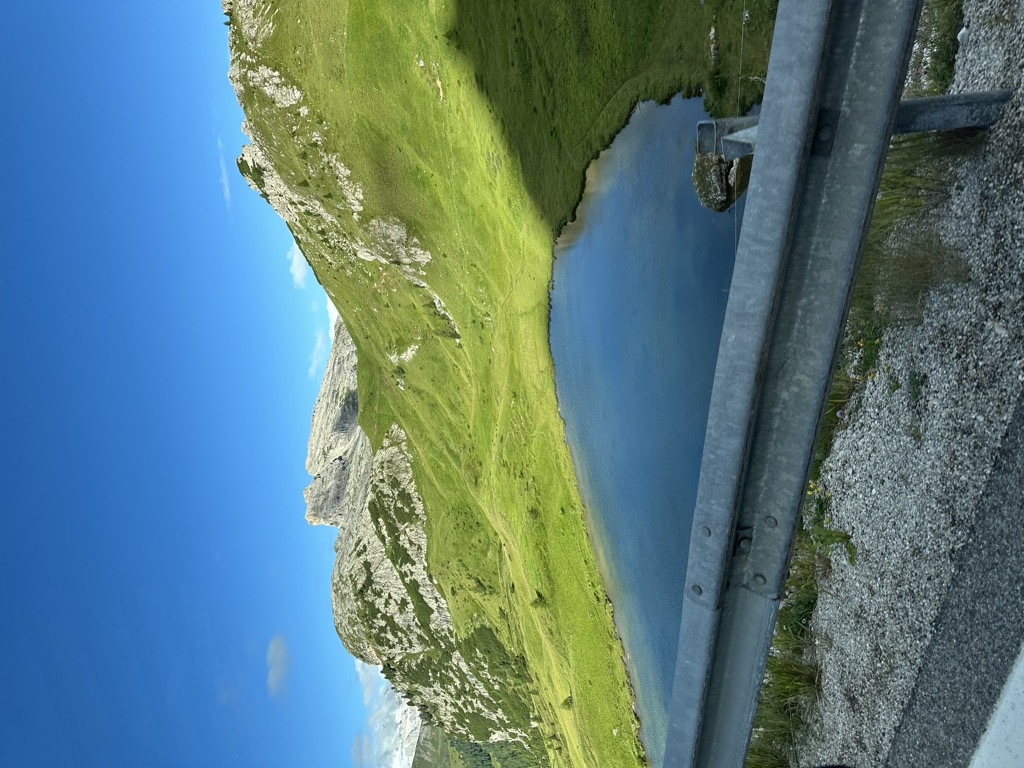
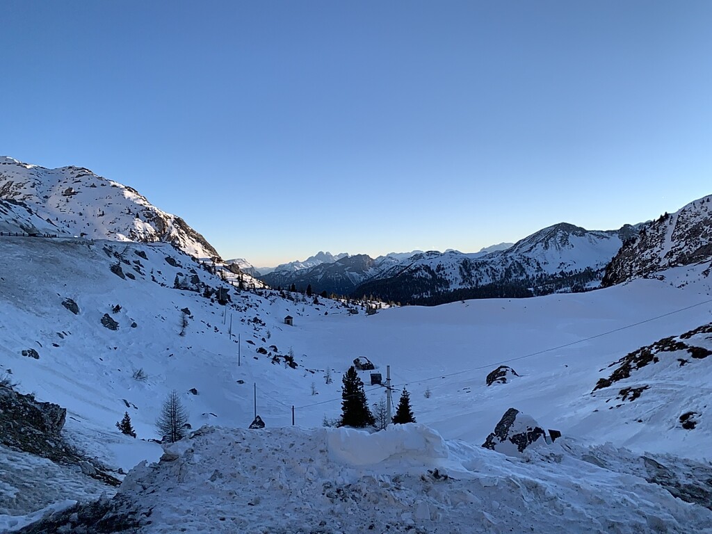
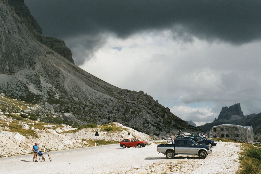
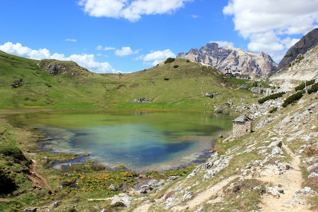
The Valparola Pass (Italian: Passo di Valparola) (el. 2,168 m, in Ladin : "Ju de Valparola") is a high mountain pass in the Dolomites in the province of Belluno in Italy. The pass lies a little west of Falzarego Pass. The hut "Rifugio Passo Valparola" (bar, restaurant) is located directly on the pass. From the pass there are numerous hiking trails as well as to the Col di Lana, the Lagazuoi (Kaiserjäger path), the Fanes Plateau and towards the Pralongia mountain inn. North of the pass in the east of the old pass road is the source (Italian: Fontana) Valparola. The Valparola got its name from the ironworks that were once near the pass. Valparola is the Latin translation of the word iron furnace valley. Ruins of these ovens, which were still in use into the 16th century, are said to have been visible in 1860. Even the Stone Age people knew the pass, as has been proven by isolated finds at Lake Valparola. It can be assumed that the smelting of metal there also goes back at least to the Iron Age. Before World War I, there was only a trail over the pass, but the area was heavily contended during the war. Between 1897 and 1900, the Austro-Hungarian army built the Forte Tre Sassi fortification on the top of the pass. In 1915, the fort was partially destroyed by Italian artillery attacks. Although the fortification could no longer be used afterwards, the Austrians continued to illuminate the fort to give the impression that it was still in operation. The fortress ruins have now been restored and now houses a museum. The Edelweiss position of the Austro-Hungarian army was located directly next to the Valparola Pass during World War I. These are the positions in the flat area, called Le Laste, on a 600 meter wide point between the Hexenstein (Italian: Sasso de Stria, 2,477m), which was heavily fortified during the war, and the eastern flank of the Sestas (2,571m). The Austro-Hungarians therefore built the Edelweiss position, which can still be seen today, on the open flank, consisting of trenches, bunkers and casemates. The pass is the divide between the watersheds of the Adige, which flows west into the Adriatic Sea and the Piave, which flows east.
We use GPS information embedded into the photo when it is available.
3D mountains overlay
Adjust mountain panorama to perfectly match your photos because recorded by camera photo position might be imprecise.
Move tool
Rotate tool
Zoom
More customization
Choose which peak labels should make into the final photo and what photo title should be.
Next
Photo Location
Satellitte
Flat map
Relief map
Latitude
Longitude
Altitude
OR
Latitude
°'''
Longitude
°'''
Apply
Register Peak
Peak Name
Latitude
Longitude
Altitude
Register
Teleport
PeakVisor
This 3D model of Sagarmatha National Park in Nepal was made using the PeakVisor app topographic data. The mobile app features higher precision models worldwide, more topographic details, and works offline. Download PeakVisor maps today.
Download OBJ model
PeakVisor
The download should start shortly. If you find it useful please consider supporting the PeakVisor app.
PeakVisor for iOS and Android
Be a superhero of outdoor navigation with state-of-the-art 3D maps and mountain identification in the palm of your hand!