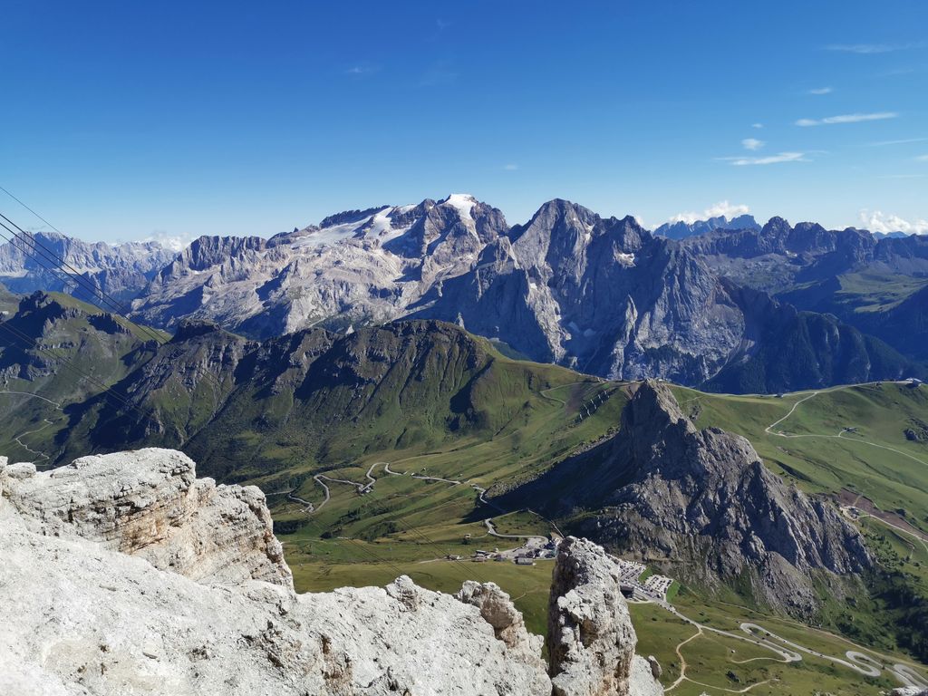
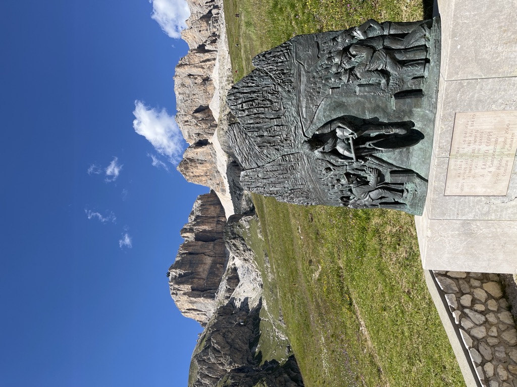
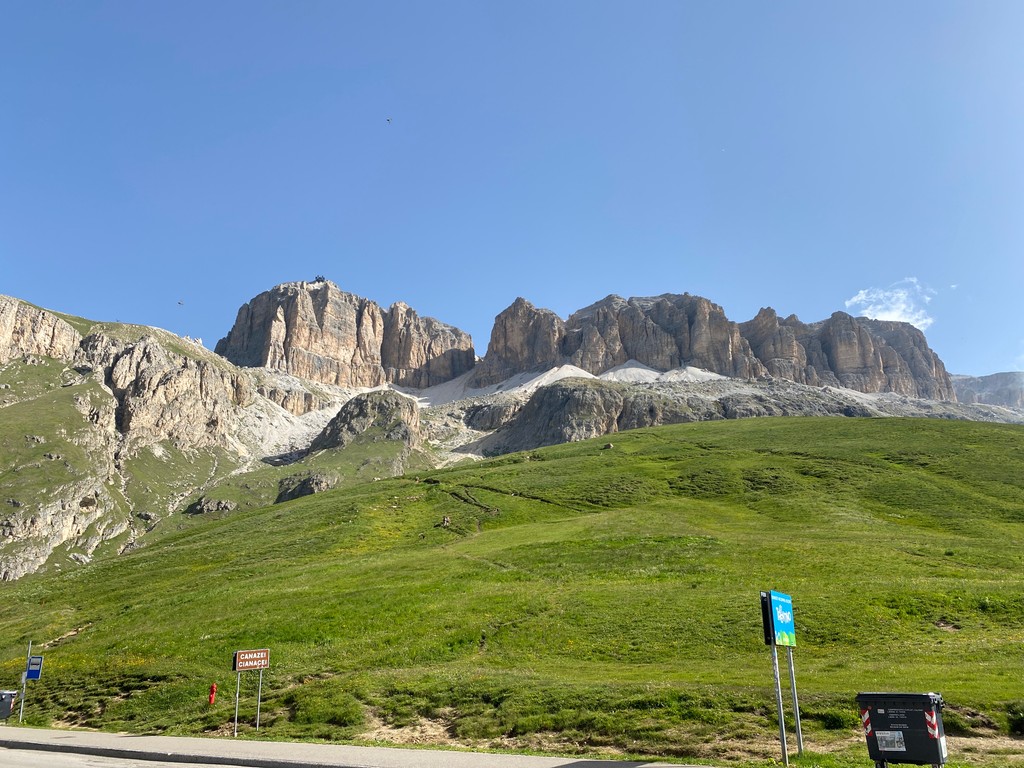
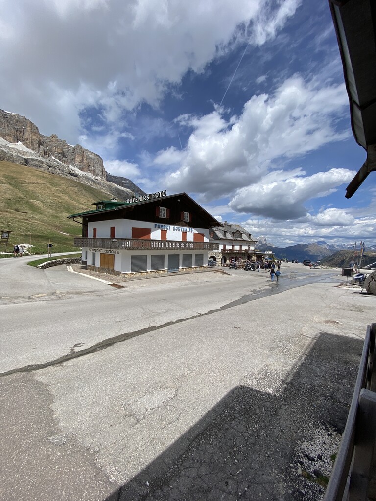
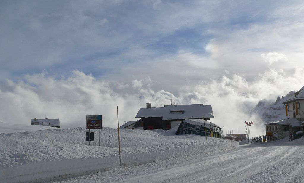
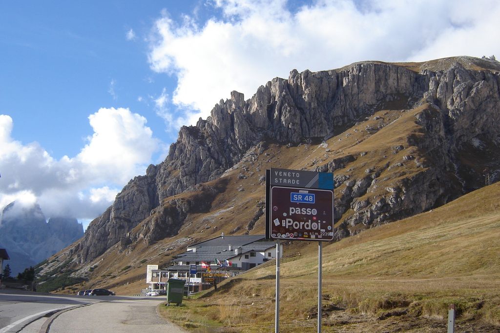
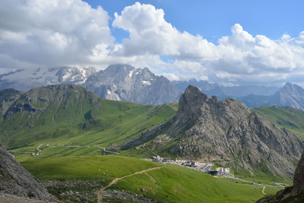
Pordoi is a pass in the Dolomites in the Alps, located between the Sella group in the north and the Marmolada group in the south. The pass is at an altitude of 2,239 m (7,346 ft), and the road crossing the pass connects Arabba (Livinallongo del Col di Lana) with Canazei (Fascia Valley). It is the second highest surfaced road traversing a pass in the Dolomites, after the Sella Pass. Starting from Arabba, the ascent to the top is 9.4 km (5.84 mi) long. Over this distance, the elevation gain is 637 m (2,090 ft), with the average percentage of 6.8%.
We use GPS information embedded into the photo when it is available.
3D mountains overlay
Adjust mountain panorama to perfectly match your photos because recorded by camera photo position might be imprecise.
Move tool
Rotate tool
Zoom
More customization
Choose which peak labels should make into the final photo and what photo title should be.
Next
Photo Location
Satellitte
Flat map
Relief map
Latitude
Longitude
Altitude
OR
Latitude
°'''
Longitude
°'''
Apply
Register Peak
Peak Name
Latitude
Longitude
Altitude
Register
Teleport
PeakVisor
This 3D model of Sagarmatha National Park in Nepal was made using the PeakVisor app topographic data. The mobile app features higher precision models worldwide, more topographic details, and works offline. Download PeakVisor maps today.
Download OBJ model
PeakVisor
The download should start shortly. If you find it useful please consider supporting the PeakVisor app.
PeakVisor for iOS and Android
Be a superhero of outdoor navigation with state-of-the-art 3D maps and mountain identification in the palm of your hand!


.jpg)