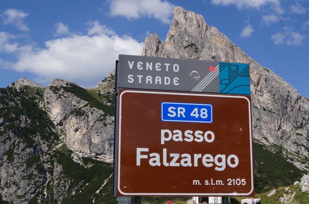
The Falzarego Pass (Italian: Passo di Falzarego, Ladin: Jou de Fauzare) (el. 2,105 m) is a high mountain pass in the province of Belluno in Italy. It mainly connects the territory of Agordo and Cortina d'Ampezzo. From the pass, starts also SP24 (Strada provinciale del Passo di Valparola) directed northbound to Val Badia passing below Sass de Stria and through Valparola Pass. A gondola rises to the Lagazuoi (2,762 m), which was the object of heavy combat and mine warfare in World War I. The tunnel that the Italians built under the Austro-Hungarian lines is open to the public.
We use GPS information embedded into the photo when it is available.
3D mountains overlay
Adjust mountain panorama to perfectly match your photos because recorded by camera photo position might be imprecise.
Move tool
Rotate tool
Zoom
More customization
Choose which peak labels should make into the final photo and what photo title should be.
Next
Photo Location
Satellitte
Flat map
Relief map
Latitude
Longitude
Altitude
OR
Latitude
°'''
Longitude
°'''
Apply
Register Peak
Peak Name
Latitude
Longitude
Altitude
Register
Teleport
PeakVisor
This 3D model of Sagarmatha National Park in Nepal was made using the PeakVisor app topographic data. The mobile app features higher precision models worldwide, more topographic details, and works offline. Download PeakVisor maps today.
Download OBJ model
PeakVisor
The download should start shortly. If you find it useful please consider supporting the PeakVisor app.
PeakVisor for iOS and Android
Be a superhero of outdoor navigation with state-of-the-art 3D maps and mountain identification in the palm of your hand!


.jpg)


.jpg)


