













Curated by Arabba Fodom Turismo
Livinallongo del Col di Lana
Ladin comune spread along the upper Cordevole, with Arabba as its ski centre and the Col di Lana above, one of the bitterest fronts of the First World War.
- 1Highlights
- 85Routes
- Featured summit · Cresta Strenta
Highlights
14 from neighbouring places
Cesa del Louf
A restored Ladin farmhouse at Arabba, kept as a museum of the valley's building and farming.
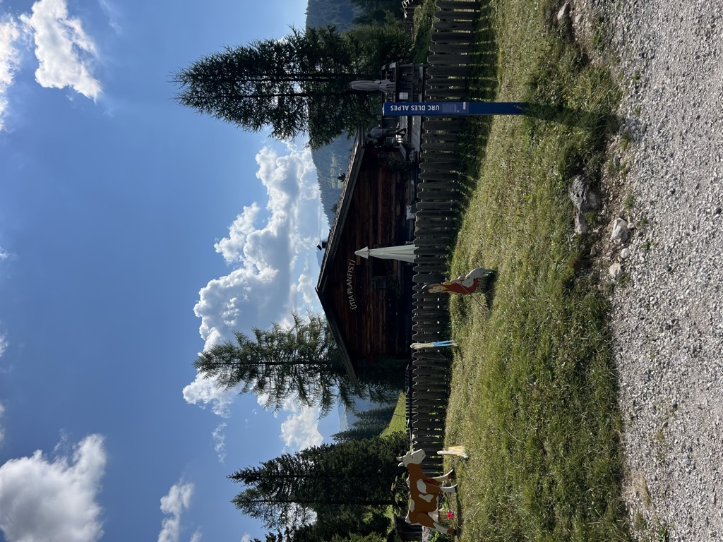
Malga Munt Planfistí
4.9 km away, in Corvara in Badia/Corvara
A small family-run pasture hut at 1,944 m above Corvara in Badia, keeping goats and selling its own goat products and home-made cakes.
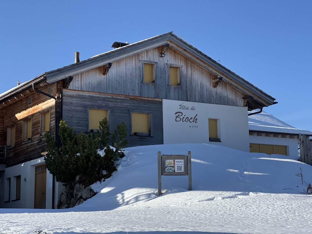
Sterzing, Pfitsch und FreienfeldRifugio Ütia de Bioch
5.4 km away, in Corvara in Badia/Corvara
A Ladin mountain hut at 2,076 m on the high pastures between Corvara and La Villa, on the walk over the Pralongiá from San Cassiano.
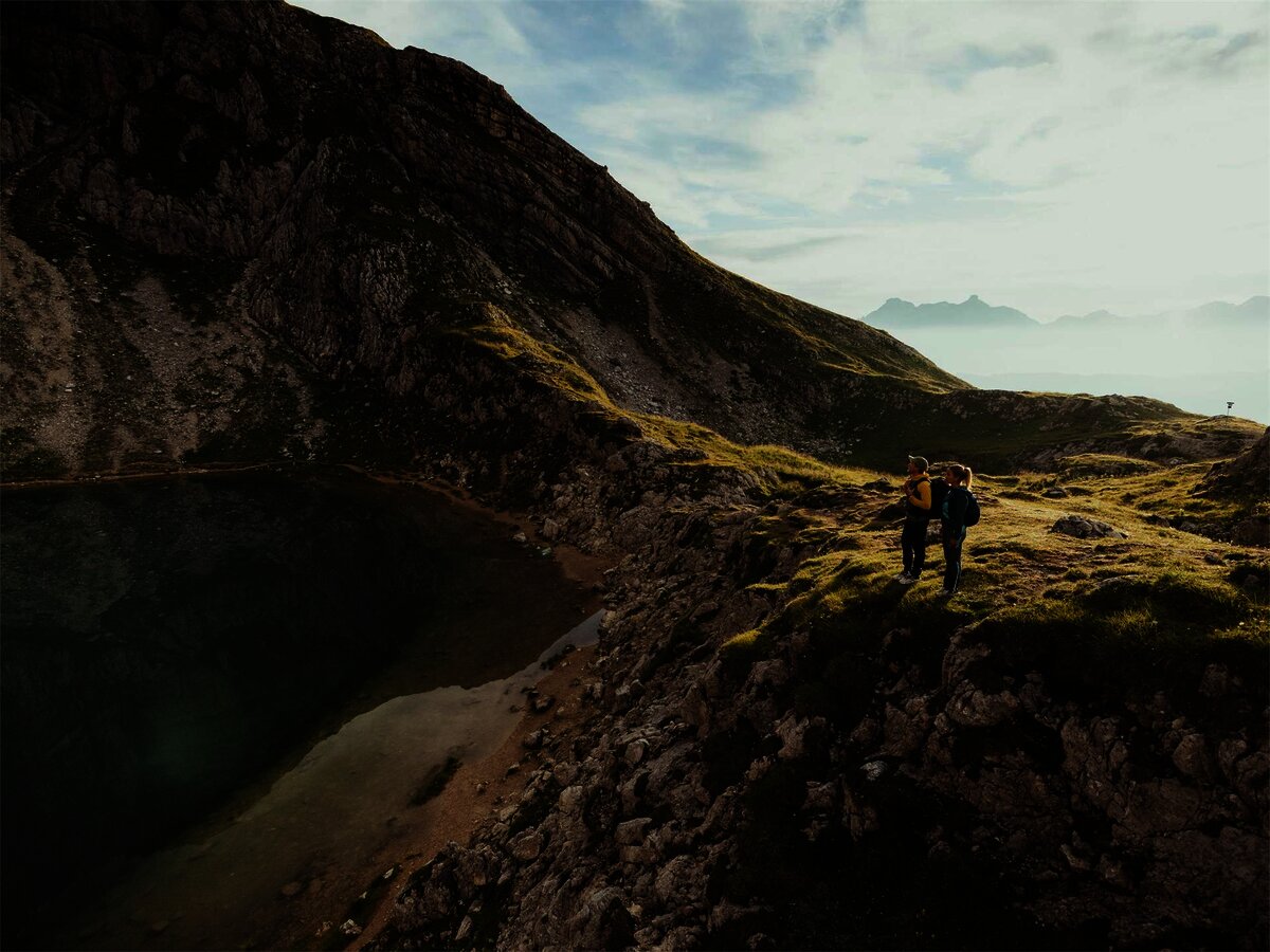
Lech de Boé
5.8 km away, in Corvara in Badia/Corvara
A small lake in the high basin below the Boè group, on the path from the Vallon lift.
Piz Arlara
5.8 km away, in Corvara in Badia/Corvara
An alpine restaurant at 2,016 m on the heights east of Corvara in Badia, the largest village of the upper Val Badia.
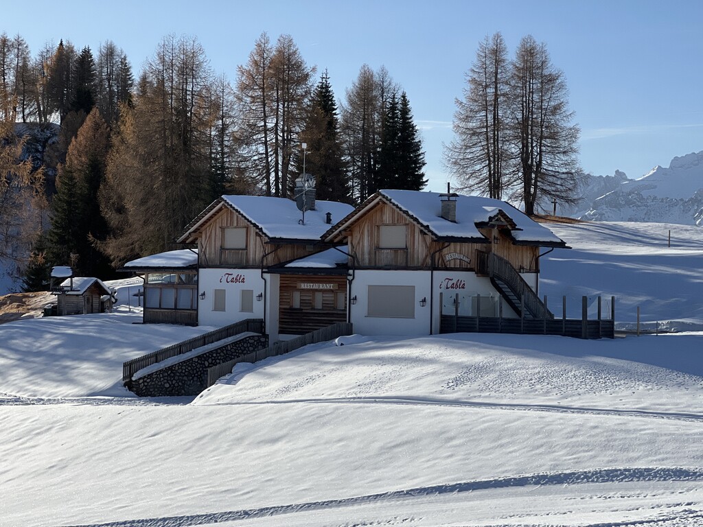
Rifugio I Tablà
6 km away, in Badia/Abtei
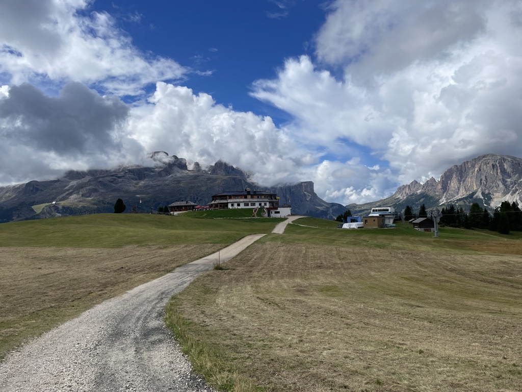
A hut at 2,022 m on the slopes above La Villa in the upper Val Badia, on the panoramic walk across the Pralongiá, Bioch and Arlara plateau.
Chiesa di Santa Caterina
6.3 km away, in Corvara in Badia/Corvara
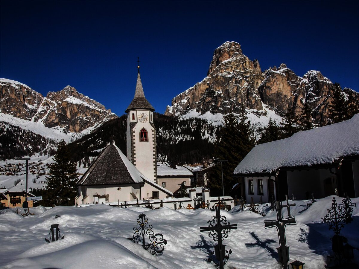
Corvara's old parish church, Gothic in origin, with a frescoed interior below the Sassongher.
Galaria d'Ert Acuarei
6.5 km away, in Corvara in Badia/Corvara
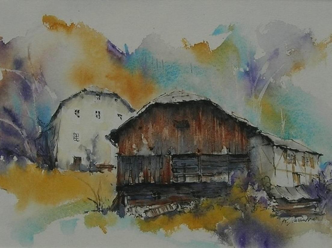
A gallery in Corvara showing watercolours by Ladin painters of the Dolomites.
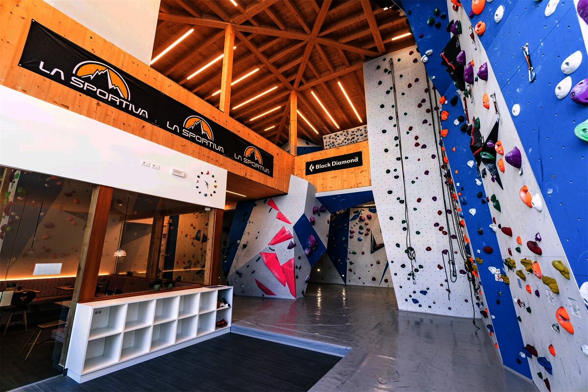
Boulder Center Corvara
6.8 km away, in Corvara in Badia/Corvara
Indoor bouldering walls in Corvara, useful when the Sella faces are wet.
Museo/galleria del Lagazuoi
6.9 km away, in Cortina d'Ampezzo
Tunnels driven into the Lagazuoi by Italian and Austrian sappers between 1915 and 1917, now an open-air museum reached from the cable car.
Fontana lago biotopo Corvara
7 km away, in Corvara in Badia/Corvara
A small protected wetland on the valley floor at Corvara, with a marked path around the pools.
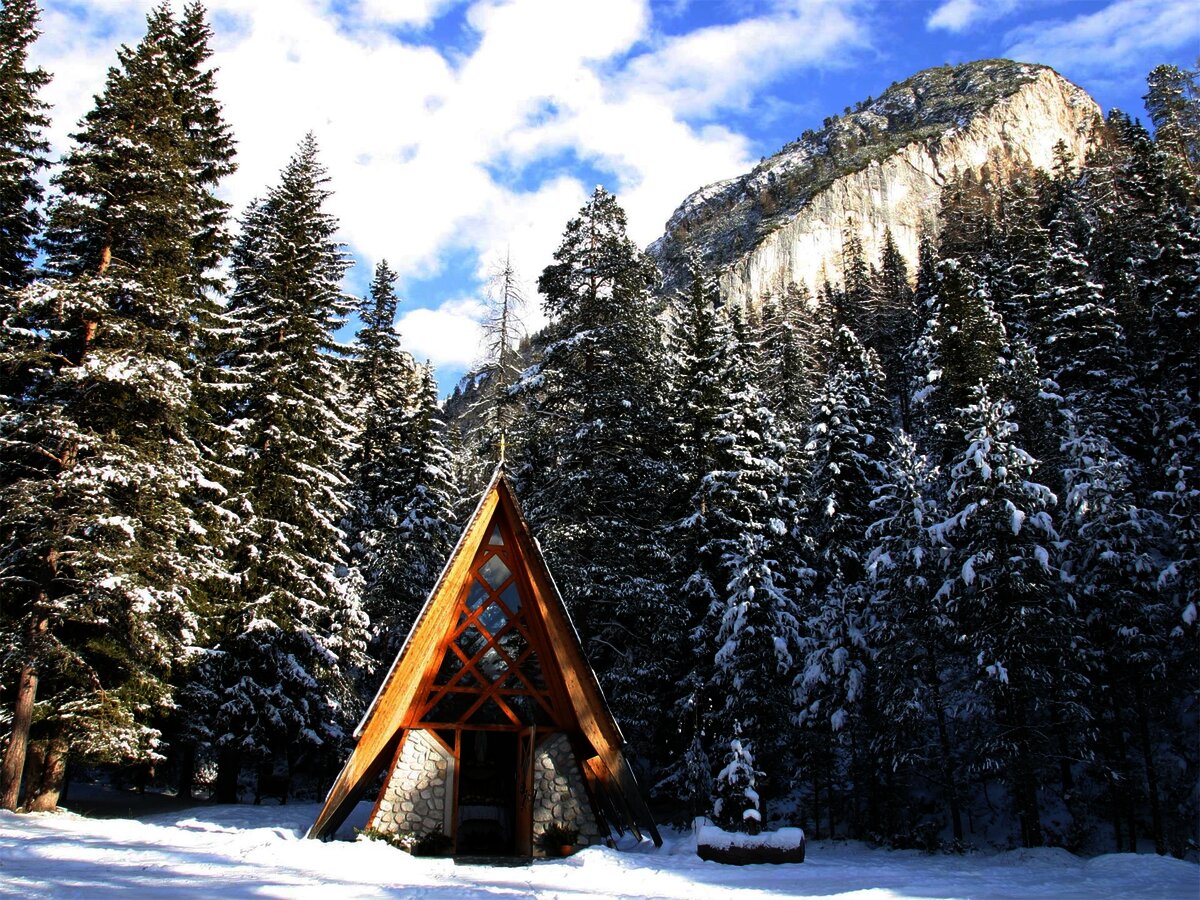
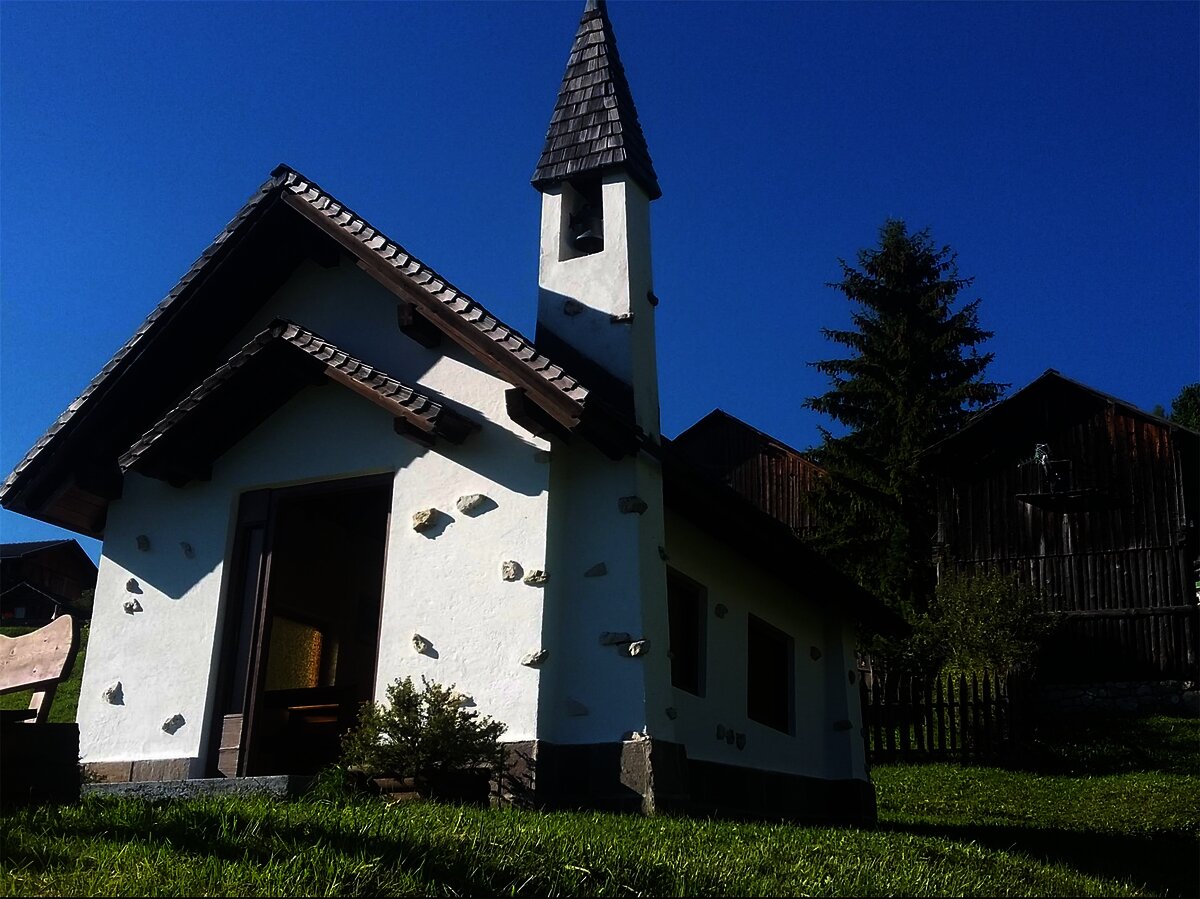
Cappella ai piedi del Sas Dlacia
7.4 km away, in Badia/Abtei
A chapel at the foot of the Sas Dlacia rock face above San Cassiano.
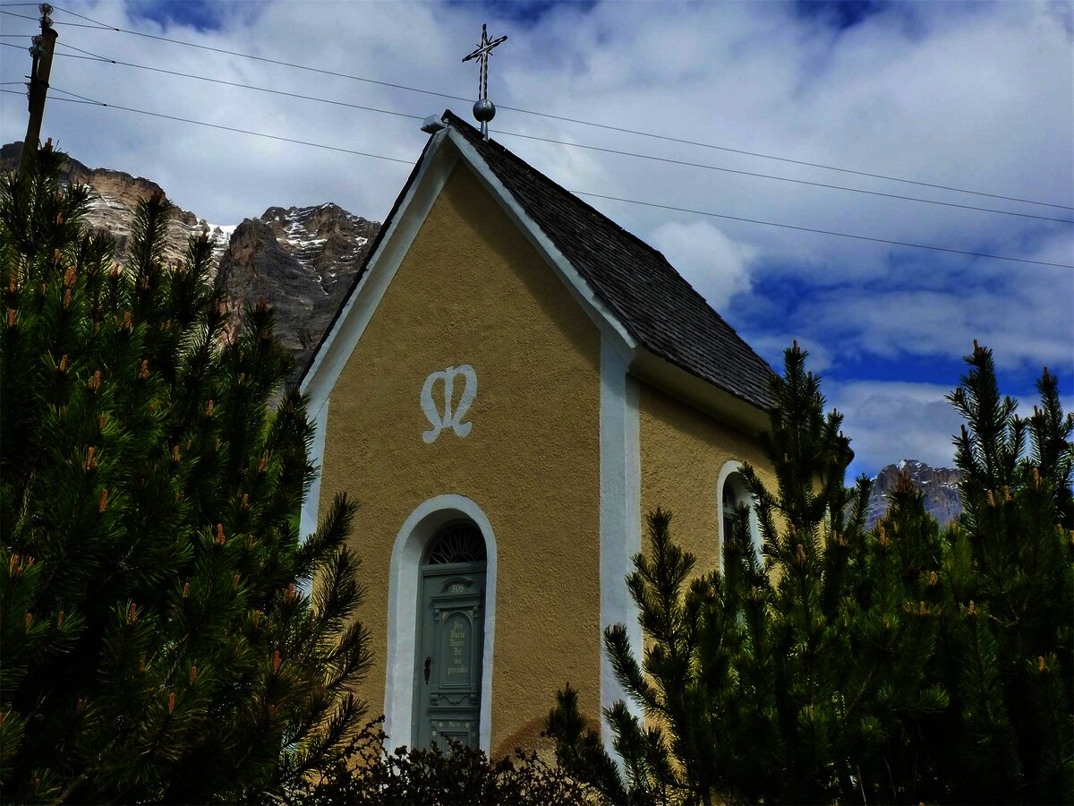
Cappella di Rü
7.7 km away, in Badia/Abtei
The chapel of the hamlet of Rü above La Villa, in the Val Badia.
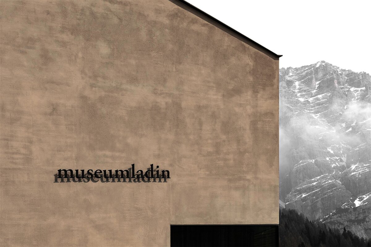
Museum Ladin Ursus ladinicus
8 km away, in Badia/Abtei
A museum in San Cassiano on the cave bear Ursus ladinicus, whose bones were found in the Conturines cave above the village.
Nothing of this kind in Livinallongo del Col di Lana.
Routes
50 routes, an even mix of activities · see the rest on agordinodolomiti.it ↗
Via Ferrata "Cesare Piazzetta"
A hard cabled route from the ossuary at the Passo Pordoi, awkward at first and easing higher, topping out on the Piz Boè at 3,152 m.
- 8.8 km
- Distance
- 983 m
- Ascent
- 7 h 27 min
- Duration
- 1118
- Check-ins
 Piz Boè 3 152 m
- Torre Roma 2 887 m
 Jouf de Pordoi - Passo Pordoi - Pordoijoch 2 239 m
- Forcella Pordoi 2 848 m
 Rifugio Capanna Piz Fassa 3 152 m
- Rifugio Forcella Pordoi 2 848 m
- +3
Open route Arabba Fodom TurismoVia ferrata "delle Trincee"
A Great War route on volcanic rock along the Padon ridge, reached by the Porta Vescovo cable car above Arabba, between the Sella and the Marmolada glacier.
- 13.0 km
- Distance
- 1 544 m
- Ascent
- 11 h 35 min
- Duration
- 344
- Check-ins
- Col Vescovo 2 330 m
- Mesola 2 727 m
- Viel dal Pan 2 490 m
- Porta Vescovo 2 468 m
- Rifugio Padon 2 407 m
- Mister X 1 613 m
- +3
Open route Arabba Fodom TurismoSub-Lieutenant Mario Fusetti Via Ferrata
An equipped route on the Sasso di Stria, opened by the Alpini in memory of Mario Fusetti, who died there in the First World War.
- 4.3 km
- Distance
- 565 m
- Ascent
- 4 h 9 min
- Duration
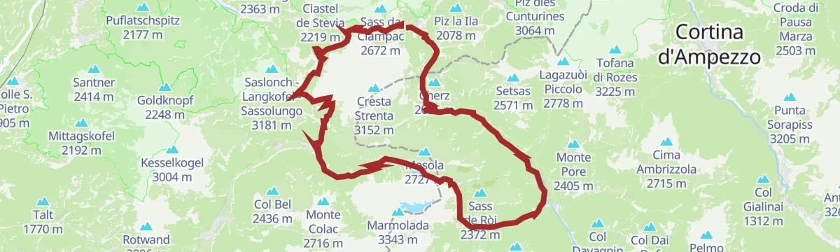
Open route Arabba Fodom TurismoHike Planac - Cherz
An easy walk over the Corvara plateau, through flower meadow and shaded wood, out to the Cherz.
- 6.9 km
- Distance
- 188 m
- Ascent
- 2 h 22 min
- Duration
- 213
- Check-ins
- Cherz 2 095 m
- Ütia Cherz 2 095 m
- Ütia Punta Trieste 2 021 m
- Passo Incisa - Ju d'Inzija 1 938 m
- Ütia La Marmotta 1 950 m
- Ütia Incisa 1 930 m
Open route Alta Badia Tourism CooperativeCrossing of the Sella Group from Sass Pordoi to Corvara
The shortest way to the Piz Boè, highest point of the Sella at 3,152 m, crossing the massif from the Sass Pordoi down to Corvara.
- 7.0 km
- Distance
- 421 m
- Ascent
- 3 h 43 min
- Duration
- 1147
- Check-ins
- Piz Boè 3 152 m
- Sas de Pordoi 2 950 m
- Torre Roma 2 887 m
- Forcella Pordoi 2 848 m
- Rifugio Capanna Piz Fassa 3 152 m
- Rifugio Maria 2 950 m
- +2
Open route Alta Badia Tourism CooperativeSuper 8 Ski Route
A figure-of-eight ski itinerary through the Cinque Torri and Lagazuoi areas, much of it on piste, facing the Tofana, Pelmo, Civetta and Marmolada.
- 29.1 km
- Distance
- 2 082 m
- Ascent
- 13 h 46 min
- Duration
- 1890
- Check-ins
- Punta Dallago 2 481 m
- Rifugio Scoiattoli 2 255 m
- Rifugio Lagazuoi 2 752 m
- Rifugio Averau 2 413 m
- Forcella Nuvolau 2 417 m
- Falzarego Pass 2 105 m
- +11
Open route Cortina Marketing Se.Am.Discesa a neve fresca dal Valparola all'Armentarola
An easy off-piste descent from the Passo Valparola to the Armentarola, facing the Lagazuoi, the Sass de Stria and the Conturines.
- 5.8 km
- Distance
- 71 m
- Ascent
- 620 m
- Descent
- 1 h 39 min
- Duration
- 94
- Check-ins
Open route Sterzing, Pfitsch und FreienfeldSki mountaineering on Mount Sief
A ski ascent through thin woods and wide slopes to the summit ridge of Sief, above Livinallongo and heavily fought over in the Great War.
- 3.8 km
- Distance
- 638 m
- Ascent
- 0 m
- Descent
- 1 h 50 min
- Duration
- 37
- Check-ins
Open route Arabba Fodom Turismo"Panorama" Ski Tour
A long ski traverse from the Porta Vescovo side of Arabba by Passo Pordoi to the Ciampac and Buffaure areas, finishing down the Vulcano run to Pozza.
- 17.7 km
- Distance
- 1 890 m
- Ascent
- 2 157 m
- Descent
- 7 h 14 min
- Duration
- 161
- Check-ins
- Sela dal Brunéch 2 420 m
- Baita Valeruz 2 149 m
- La Bolp 2 046 m
 Liech de Chel Vesco 2 089 m
- Bar Ristorante Crepa Neigra 2 149 m
Open route Arabba Fodom TurismoLezuo - Fassa Bike Park
A flow line from Rifugio Fredarola down past Baita Fodom, with parabolic turns, wide sightlines and patches of low-grip surface.
- 2.0 km
- Distance
- 0 m
- Ascent
- 18 min
- Duration
- 219
- Check-ins
Open route APT Val di FassaSellaronda MTB tour - clockwise
The clockwise way round the Sella massif, over the Pordoi and Gardena passes, the longer of the two directions.
- 67.7 km
- Distance
- 4 187 m
- Ascent
- 10 h 55 min
- Duration
- 3886
- Check-ins
- Piz Bioch 2 079 m
- Pralongiá 2 137 m
- Jouf de Pordoi - Passo Pordoi - Pordoijoch 2 239 m
- Rifugio Salei 2 225 m
- Gardena Pass 2 121 m
- Bar Funivia 2 240 m
- +56
Open route Alta Badia Tourism CooperativeMaratona dles Dolomites
The full marathon course from Canazei over the Sella, Gardena, Campolongo, Pordoi and Falzarego passes in a single day.
- 116.2 km
- Distance
- 3 599 m
- Ascent
- 13 h 42 min
- Duration
- 2924
- Check-ins
- Val Dantermont 1 728 m
- Jouf de Pordoi - Passo Pordoi - Pordoijoch 2 239 m
- Falzarego Pass 2 105 m
- Gardena Pass 2 121 m
- Bar Funivia 2 240 m
- L'Angolino del Sella 2 179 m
- +58
Open route APT Val di Fassa"Porta Vescovo" Rosso
A steady descent from the Porta Vescovo lift station back towards Arabba, facing the Marmolada the whole way down.
- 5.7 km
- Distance
- 11 m
- Ascent
- 2 h 19 min
- Duration
- 192
- Check-ins
- Viel dal Pan 2 490 m
- Porta Vescovo 2 468 m
- Liech de Chel Vesco 2 089 m
- Rifugio Luigi Gorza 2 478 m
Open route Arabba Fodom TurismoSentiero Italia CAI - Stage: Arabba-Pralongià (SI B02)
A short high stage from Arabba to Passo Campolongo, then up beside the winter ski runs to the Cherz plateau and on towards Pralongia.
- 8.3 km
- Distance
- 731 m
- Ascent
- 3 h 38 min
- Duration
- 486
- Check-ins
- Pralongiá 2 137 m
- Pralongià 2 130 m
- Passo Incisa - Ju d'Inzija 1 938 m
- Hotel Boe 1 864 m
- Ütia La Marmotta 1 950 m
- Campolongo Pass 1 875 m
- +6
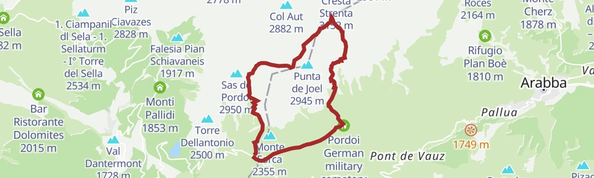
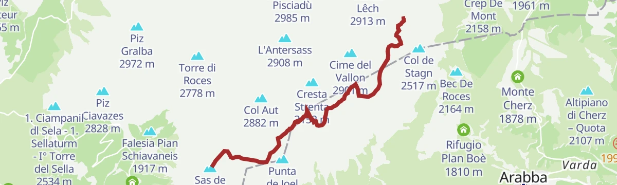
Open route Arabba Fodom TurismoCrossing of the Sella group
A crossing of the Sella from the Sass Pordoi terrace over the Piz Boè and on towards the Bec de Roces.
- 12.6 km
- Distance
- 1 065 m
- Ascent
- 7 h 58 min
- Duration
- 1592
- Check-ins
- Piz Boè 3 152 m
- Sas de Pordoi 2 950 m
- Torre Roma 2 887 m
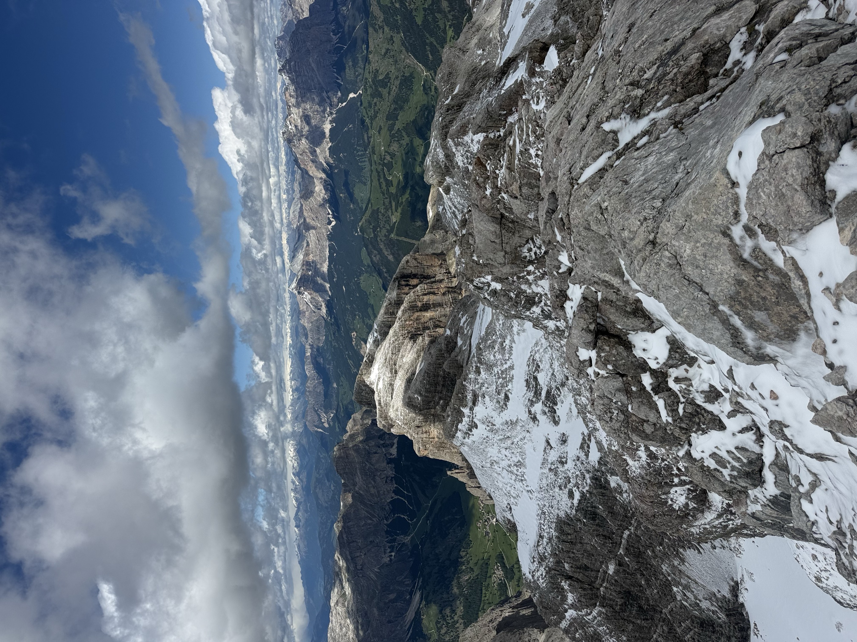
- Cresta Strenta 3 152 m
- Piz Léch Dlacè - Eisseespitze 3 009 m
- Bec De Roces 2 164 m
- +13
Open route Arabba Fodom TurismoThe Col - Fassa Bike Park
A smooth, treeless line shaped from end to end above Baita Fodom, with parabolic curves, rollers and bridges and no high speeds.
- 1.2 km
- Distance
- 0 m
- Ascent
- 11 min
- Duration
- 44
- Check-ins
Open route APT Val di Fassa"Sellaronda" MTB Tour TIMETABLE
A lift-assisted circuit of the Sella group, taking the Pordoi, Gardena and Campolongo passes and the trails between them.
- 62.5 km
- Distance
- 4 136 m
- Ascent
- 10 h 36 min
- Duration
- 3847
- Check-ins
- Piz Bioch 2 079 m
- Pralongiá 2 137 m
- Piz Arlara 2 015 m
- Jouf de Pordoi - Passo Pordoi - Pordoijoch 2 239 m
- Rifugio Salei 2 225 m
- Gardena Pass 2 121 m
- +55
Open route Arabba Fodom TurismoSellaronda
The four-pass Dolomite circuit ridden from Predazzo, over Passo Pordoi, the Sella Pass and the Gardena Pass around the Sella massif.
- 116.2 km
- Distance
- 2 555 m
- Ascent
- 12 h 43 min
- Duration
- 2454
- Check-ins
- Val Dantermont 1 728 m
- Jouf de Pordoi - Passo Pordoi - Pordoijoch 2 239 m
- Gardena Pass 2 121 m
- Bar Funivia 2 240 m
- L'Angolino del Sella 2 179 m
- In Sella 2 182 m
- +44
Open route APT Fiemme CembraBec de Roces
A short descent from the Bec de Roces chairlift above the Campolongo pass back to the valley road.
- 2.4 km
- Distance
- 32 m
- Ascent
- 51 min
- Duration
- 174
- Check-ins
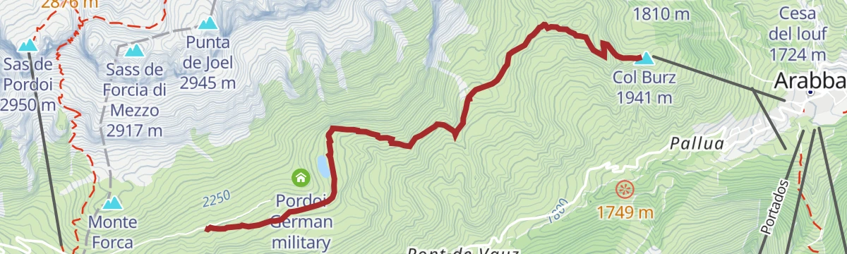
Open route Arabba Fodom TurismoArabba - Passo Pordoi Ossuary - Arabba
An easy round through pasture from Arabba to the German ossuary at Passo Pordoi, wide enough for off-road pushchairs, with marmots about.
- 14.4 km
- Distance
- 708 m
- Ascent
- 5 h 13 min
- Duration
- 463
- Check-ins
- Jouf de Pordoi - Passo Pordoi - Pordoijoch 2 239 m
- Bar Funivia 2 240 m
- Bar Maria Ristorante 2 235 m
- Mister X 1 613 m
- L'Ufficio Turistico 1 607 m
- Pordoi German military cemetery 2 228 m
Open route Arabba Fodom TurismoStage 1 Dolomiti Trek King Short Experience - Viel dal Pan
A stage from the Canazei lifts by Col dei Rossi and the Belvedere and Fredarola huts, with an optional cable car up to the Sass Pordoi.
- 11.9 km
- Distance
- 1 277 m
- Ascent
- 6 h 36 min
- Duration
- 906
- Check-ins
- Col di Rosc 2 382 m
- Col De Pausa 2 407 m
- Jouf de Pordoi - Passo Pordoi - Pordoijoch 2 239 m
- Bar Funivia 2 240 m
- Rifugio Fredarola Harbor 2 370 m
- Rifugio Vièl dal Pan - Bindelweghütte 2 432 m
- +7
Open route APT Val di FassaAll Fever - Fassa Bike Park
A short bike-park flow line starting below Rifugio Fodom, with berms, jumps, a few blind bends and a footbridge near the finish.
- 1.3 km
- Distance
- 0 m
- Ascent
- 10 min
- Duration
Open route APT Val di FassaSellaronda MTB tour - anti-clockwise
The anti-clockwise way round the Sella massif, by the Comici and Fredarola huts, with lifts taking the worst of the climbing.
- 57.5 km
- Distance
- 3 598 m
- Ascent
- 9 h 21 min
- Duration
- 2932
- Check-ins
- Col di Rosc 2 382 m
- Col Stravertei 2 254 m
- Val Dantermont 1 728 m
- Piza Pranseies 2 254 m
- Col Burz 1 941 m
- Emilio-Comici-Hütte - Rifugio Emilio Comici 2 153 m
- +49
Open route Alta Badia Tourism CooperativeSellaronda road bike tour
The road circuit of the Sella massif from Corvara, over the Pordoi and Gardena passes on twisting alpine roads.
- 50.6 km
- Distance
- 1 668 m
- Ascent
- 6 h 4 min
- Duration
- 2025
- Check-ins
- Jouf de Pordoi - Passo Pordoi - Pordoijoch 2 239 m
- Gardena Pass 2 121 m
- Bar Funivia 2 240 m
- L'Angolino del Sella 2 179 m
- In Sella 2 182 m
- Rifugio Frara 2 127 m
- +32
Open route Alta Badia Tourism CooperativeArabba - Monte "Burz"
A short family walk from the Burz chairlift above Arabba back down through flowering meadow on dirt road and CAI 637, facing the Sella group.
- 3.0 km
- Distance
- 312 m
- Ascent
- 1 h 54 min
- Duration
- 173
- Check-ins
- Col Burz 1 941 m
- Rifugio Col de Burz 1 943 m
- Mister X 1 613 m
- L'Ufficio Turistico 1 607 m
- Miky's Grill 1 618 m
Open route Arabba Fodom TurismoPordoi Pass
A road climb over the Falzarego and the Pordoi, two passes long central to the Giro d'Italia, where Coppi broke away from Bartali in 1947.
- 9.6 km
- Distance
- 639 m
- Ascent
- 3 h 15 min
- Duration
- 434
- Check-ins
- Jouf de Pordoi - Passo Pordoi - Pordoijoch 2 239 m
- Bar Maria Ristorante 2 235 m
- Albergo Ristoro Lezuo 2 147 m
- Mister X 1 613 m
- L'Ufficio Turistico 1 607 m
- Miky's Grill 1 618 m
- +1
Open route Dolomiti Bellunesi - The Mountains of VeniceViel dal Pan
An old trading path from Porta Vescovo along the Padon ridge towards the Pordoi, with the Fedaia lake and the Marmolada below.
- 14.1 km
- Distance
- 1 074 m
- Ascent
- 7 h
- Duration
- 746
- Check-ins
- Col De Pausa 2 407 m
- Jouf de Pordoi - Passo Pordoi - Pordoijoch 2 239 m
- Rifugio Fredarola Harbor 2 370 m
- Rifugio Vièl dal Pan - Bindelweghütte 2 432 m
- Viel dal Pan 2 490 m
- Rifugio Sass Becè 2 377 m
- +3
Open route Arabba Fodom TurismoRoad bike tour to the Fedaia pass
A long road loop from Corvara over the Gardena and Sella passes, then the Fedaia climb out of Canazei under the Marmolada.
- 80.3 km
- Distance
- 2 473 m
- Ascent
- 9 h 28 min
- Duration
- 2011
- Check-ins
- Val Dantermont 1 728 m
- Gardena Pass 2 121 m
- L'Angolino del Sella 2 179 m
- In Sella 2 182 m
- Rifugio Frara 2 127 m
- Sella Pass 2 240 m
- +35
Open route Alta Badia Tourism CooperativePasso Campolongo - "Cherz" Plateau
A short climb from the Cherz chairlift at Passo Campolongo to a viewpoint, then by dirt road switchbacks onto the Cherz plateau and its refuge.
- 1.7 km
- Distance
- 204 m
- Ascent
- 50 min
- Duration
- 140
- Check-ins
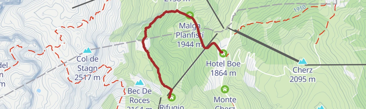
Open route Arabba Fodom TurismoArabba - "Plan Boè" - "Bec de Roces" - Arabba
A round from Arabba on trail 637 to the Plan Boe hut below the Sella, past a small pond up to the Bec de Roces hut, back on 636 and 638.
- 6.6 km
- Distance
- 568 m
- Ascent
- 3 h 37 min
- Duration
- 392
- Check-ins
- Bec De Roces 2 164 m
- Rifugio Bec de Roces 2 160 m
- Rifugio Plan Boè 1 810 m
- Hotel Boe 1 864 m
- Campolongo Pass 1 875 m
- Mister X 1 613 m
- +5
Open route Arabba Fodom TurismoFrom Passo Campolongo to Passo Pordoi
From the Bec de Roces chairlift above Passo Campolongo on trails 636, 637 and 626 below the Piz Boe to Passo Pordoi and its ossuary.
- 14.9 km
- Distance
- 1 319 m
- Ascent
- 8 h 46 min
- Duration
- 387
- Check-ins
- Bec De Roces 2 164 m
- Rifugio Bec de Roces 2 160 m
- La Tambra 1 843 m
- Bar Maria Ristorante 2 235 m
- Hotel Boe 1 864 m
- Mister X 1 613 m
- +2
Open route Arabba Fodom TurismoRoad Bike Alleghe 4 - The Sella Route
The classic four-pass Sellaronda ridden from Alleghe by way of Arabba, taking in Passo Pordoi, the Sella Pass and the Gardena Pass.
- 100.9 km
- Distance
- 2 493 m
- Ascent
- 11 h 18 min
- Duration
- 2003
- Check-ins
- Jouf de Pordoi - Passo Pordoi - Pordoijoch 2 239 m
- Gardena Pass 2 121 m
- Bar Funivia 2 240 m
- L'Angolino del Sella 2 179 m
- In Sella 2 182 m
- Rifugio Frara 2 127 m
- +33
Open route Consorzio Operatori Turistici Alleghe - CaprileIn search of the lost bear - Family walk
A short family hunt for a bear called Bec among the Bec de Roces towers, with a map from the Arabba tourist office and punches along the route.
- 1.1 km
- Distance
- 53 m
- Ascent
- 23 min
- Duration
- 121
- Check-ins
Open route Arabba Fodom TurismoPralongià
From the Cherz chairlift at Passo Campolongo by Passo Incisa and dirt road to Pralongia, returning through forest on the Jagerweg.
- 9.1 km
- Distance
- 502 m
- Ascent
- 3 h 32 min
- Duration
- 361
- Check-ins
- Pralongiá 2 137 m
- Cherz 2 095 m
- La Tambra 1 843 m
- Ütia Cherz 2 095 m
- Passo Incisa - Ju d'Inzija 1 938 m
- Ütia La Marmotta 1 950 m
- +1
Open route Arabba Fodom TurismoCampolongo Pass
A road climb to the Campolongo pass at 1,875 m between Arabba and Corvara, the lowest of the four Sellaronda passes and the most even in gradient.
- 24.7 km
- Distance
- 947 m
- Ascent
- 7 h 38 min
- Duration
- 343
- Check-ins
- La Tambra 1 843 m
- Zirmstube 1 563 m
- Monti Pallidi 1 540 m
- Tavern/Après Ski L'Murin 1 572 m
- Hotel Boe 1 864 m
- Campolongo Pass 1 875 m
- +3
Open route Dolomiti Bellunesi - The Mountains of VeniceClassic "Sellaronda" route
A half-day road circuit of the Sella massif taking in Campolongo, Gardena, Sella and Pordoi, starting and finishing at Arabba.
- 52.6 km
- Distance
- 1 654 m
- Ascent
- 6 h 14 min
- Duration
- 1979
- Check-ins
- Jouf de Pordoi - Passo Pordoi - Pordoijoch 2 239 m
- Gardena Pass 2 121 m
- Bar Funivia 2 240 m
- L'Angolino del Sella 2 179 m
- In Sella 2 182 m
- Rifugio Frara 2 127 m
- +31
Open route Arabba Fodom TurismoPanorama Trail
A short walk from the Arabba tourist office up past the heliport to the hamlet of Gliera, crossing ski runs on grassy path.
- 4.3 km
- Distance
- 211 m
- Ascent
- 1 h 33 min
- Duration
- 114
- Check-ins
Open route Arabba Fodom TurismoFrom Passo Valparola to Pralongiá and down to San Cassiano
A high traverse from Passo Valparola below the Setsass to the Pralongia plateau and down to San Cassiano, facing the Lagazuoi, Lavarela and Conturines.
- 14.2 km
- Distance
- 278 m
- Ascent
- 4 h 37 min
- Duration
- 316
- Check-ins
- Pralongiá 2 137 m
- Störes 2 185 m
- Pralongià 2 130 m
- Rifugio "Passo Valparola" 2 168 m
- Ütia Malga Saraghes 1 839 m
Open route Alta Badia Tourism Cooperative"Panoramic" Tour Arabba
A long round from Arabba by the Porta Vescovo cable car, down to Passo Pordoi and the ossuary, then over rolling ground to Monte Burz.
- 16.7 km
- Distance
- 1 292 m
- Ascent
- 8 h 22 min
- Duration
- 340
- Check-ins
- Col Burz 1 941 m
- Viel dal Pan 2 490 m
- Porta Vescovo 2 468 m
- Rifugio Col de Burz 1 943 m
- Mister X 1 613 m
- L'Ufficio Turistico 1 607 m
- +2
Open route Arabba Fodom TurismoRoad bike tour to the Tre Cime/Drei Zinnen
A long ride from San Cassiano over the Falzarego and the Passo Tre Croci to Lago d'Antorno, returning across the Valparola Pass.
- 108.8 km
- Distance
- 3 126 m
- Ascent
- 12 h 36 min
- Duration
- 1528
- Check-ins
- Falzarego Pass 2 105 m
- Rifugio Antorno 1 876 m
- Passo Tre Croci - Son Zuógo 1 809 m
- Lago d'Antorno 1 868 m
- Bar Bazar 2 106 m
- Rifugio "Passo Valparola" 2 168 m
- +31
Open route Alta Badia Tourism CooperativeAscent of the Campolongo Pass
A short road climb on tarmac to the Campolongo pass, the saddle that joins the Belluno and South Tyrol provinces.
- 4.1 km
- Distance
- 268 m
- Ascent
- 1 h 23 min
- Duration
- 88
- Check-ins
Open route Arabba Fodom TurismoPasso Incisa and Cherz Plateau
The Jaegerweg from Passo Campolongo, a flat line on CAI 3 to Passo Incisa and its huts, across the sunny green Cherz plateau.
- 7.7 km
- Distance
- 318 m
- Ascent
- 2 h 35 min
- Duration
- 292
- Check-ins
- Cherz 2 095 m
- La Tambra 1 843 m
- Ütia Cherz 2 095 m
- Passo Incisa - Ju d'Inzija 1 938 m
- Hotel Boe 1 864 m
- Ütia La Marmotta 1 950 m
- +1
Open route Arabba Fodom TurismoArabba Geological Trail
A long loop from Porta Vescovo around Sourasass and Pizac, over the Monti Alti di Ornella to the Padon pass, on ground of geological and Great War interest.
- 16.0 km
- Distance
- 1 533 m
- Ascent
- 9 h 30 min
- Duration
- 336
- Check-ins
- Col Vescovo 2 330 m
- Viel dal Pan 2 490 m
- Porta Vescovo 2 468 m
- Rifugio Padon 2 407 m
- Cèsa da Fuoch 2 155 m
- Liech de Chel Vesco 2 089 m
- +2
Open route Arabba Fodom TurismoRoad bike tour to the legendary Giau pass
A road loop from Corvara to the Passo Giau, ten kilometres with long stretches above ten percent, returning by Falzarego.
- 76.0 km
- Distance
- 2 252 m
- Ascent
- 8 h 52 min
- Duration
- 1439
- Check-ins
- Passo di Giau 2 236 m
- Falzarego Pass 2 105 m
- Berghotel Passo Giau 2 235 m
- La Tambra 1 843 m
- Bar Bazar 2 106 m
- Rifugio "Passo Valparola" 2 168 m
- +25
Open route Alta Badia Tourism CooperativePasso Pordoi Ossuary - Family walk
A gently descending road walk to the German ossuary below Passo Pordoi, at 2,239 m, an octagonal tower whose crypt holds thousands of war dead.
- 1.4 km
- Distance
- 31 m
- Ascent
- 26 min
- Duration
- 82
- Check-ins
Open route Arabba Fodom TurismoAscent of the Falzarego Pass
A road ascent of the hairpins to the top of the Falzarego pass, ending near the tunnels; the described start is the hamlet of Cernadoi.
- 9.2 km
- Distance
- 619 m
- Ascent
- 3 h 9 min
- Duration
- 269
- Check-ins
- Falzarego Pass 2 105 m
- Bar Bazar 2 106 m
- Hotel al Sasso di Stria 1 930 m
- Appartamenti Cernadoi 1 516 m
- Punta Sant'Anna 1 938 m
- Hotel La Baita 1 609 m
- +2
Open route Arabba Fodom TurismoThe Fodom Valley along the "Via Alpina"
A long high traverse from Andraz castle to Passo Pordoi across the whole Fodom valley, on the yellow branch of the Via Alpina, past Great War remains.
- 23.8 km
- Distance
- 1 710 m
- Ascent
- 10 h 24 min
- Duration
- 321
- Check-ins
- Jouf de Pordoi - Passo Pordoi - Pordoijoch 2 239 m
- Bar Maria Ristorante 2 235 m
- Albergo Ristoro Lezuo 2 147 m
Open route Arabba Fodom TurismoCanazei - Fedaia Pass - Rocca Pietore - Caprile - Arabba - Pordoi Pass - Canazei
A road circuit from Canazei over the Fedaia pass under the Marmolada, returning by Arabba and the Passo Pordoi.
- 66.9 km
- Distance
- 2 106 m
- Ascent
- 7 h 55 min
- Duration
- 1246
- Check-ins
- Val Dantermont 1 728 m
- Jouf de Pordoi - Passo Pordoi - Pordoijoch 2 239 m
- Bar Funivia 2 240 m
- Bar Maria Ristorante 2 235 m
- Rifugio Marmolada Castiglioni 2 055 m
- Laghetto Lupo Bianco 1 726 m
- +23
Open route APT Val di FassaPasso Pordoi - Monte "Burz"
A sunny high route from Passo Pordoi, past the German war cemetery there, along to Monte Burz above Arabba.
- 4.2 km
- Distance
- 64 m
- Ascent
- 1 h 24 min
- Duration
- 75
- Check-ins
Open route Arabba Fodom TurismoCircular hike on the eastern side of the Sella massif
A loop from Corvara along the east edge of the Sella, without technical difficulty but of geological interest, crossing typical Dolomite strata.
- 5.1 km
- Distance
- 408 m
- Ascent
- 2 h 37 min
- Duration
- 265
- Check-ins
- Rifugio Franz Kostner al Vallon 2 541 m
- Piz Boè Alpine Lounge 2 195 m
- Boesee - Lago di Boe 2 251 m
- Pizza Boe 2 196 m
Open route Alta Badia Tourism Cooperative
No routes of this kind in Livinallongo del Col di Lana yet.
The region's own picks

Featured route
Hike Planac - Cherz
An easy walk over the Corvara plateau, through flower meadow and shaded wood, out to the Cherz.
Planning a trip to Livinallongo del Col di Lana?
Everything else Veneto has, in one place


Take Livinallongo del Col di Lana with you into the mountains
Every route on this page with 3D terrain, GPX navigation and offline maps — including the valleys with no signal.
Data sources
- Official website: agordinodolomiti.it ↗
- Routes and highlights: Arabba Fodom Turismo, Alta Badia Tourism Cooperative, Alta Badia, APT Val di Fassa, Sterzing, Pfitsch und Freienfeld, YesAlps, Dolomiti Bellunesi - The Mountains of Venice, Astrotourism, Cortina Marketing Se.Am., APT Fiemme Cembra, Consorzio Operatori Turistici Alleghe - Caprile
- Published as open data by the tourist boards named above.
- Region summary generated from the board's own material.
