
 Historic site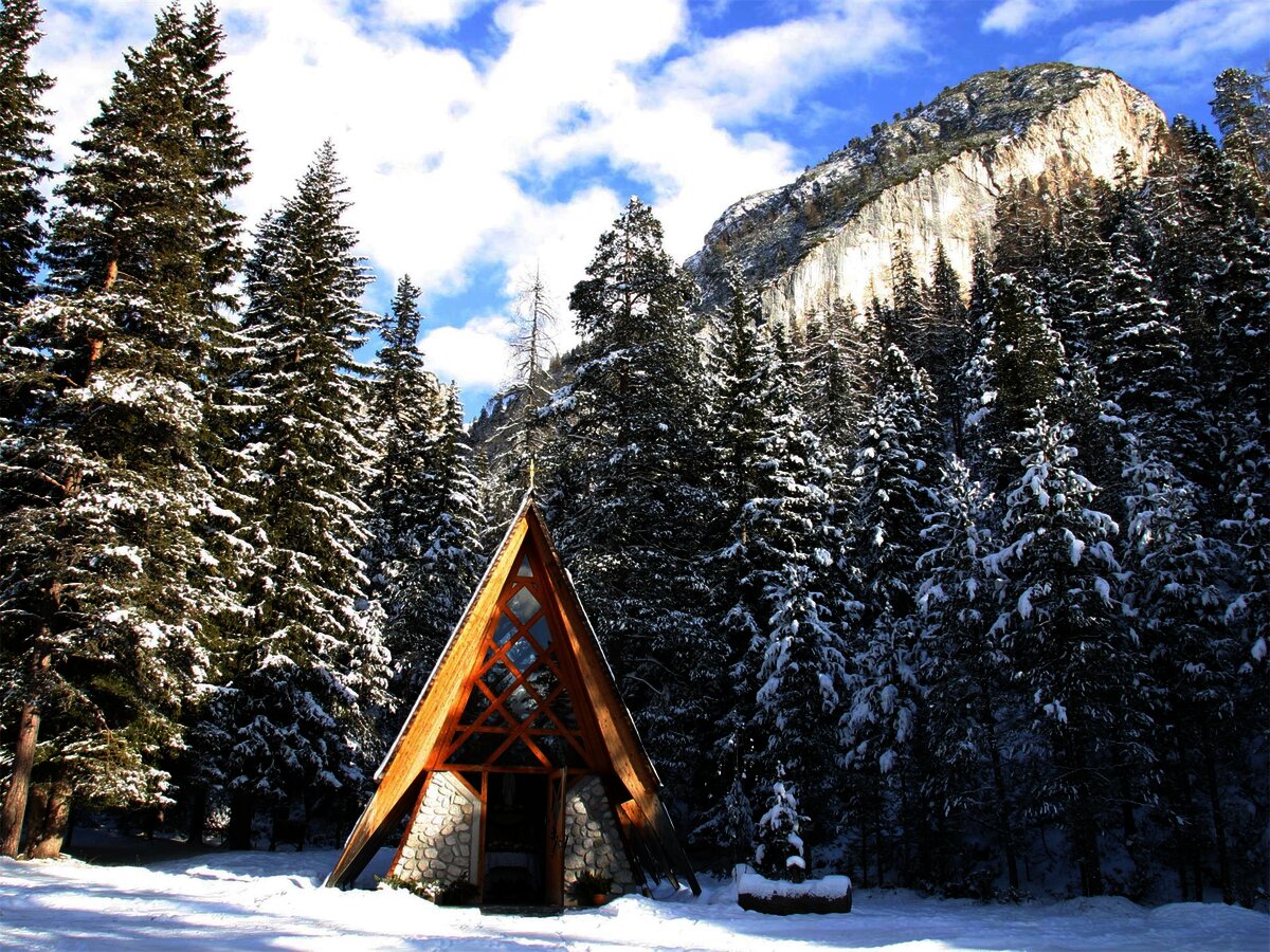




















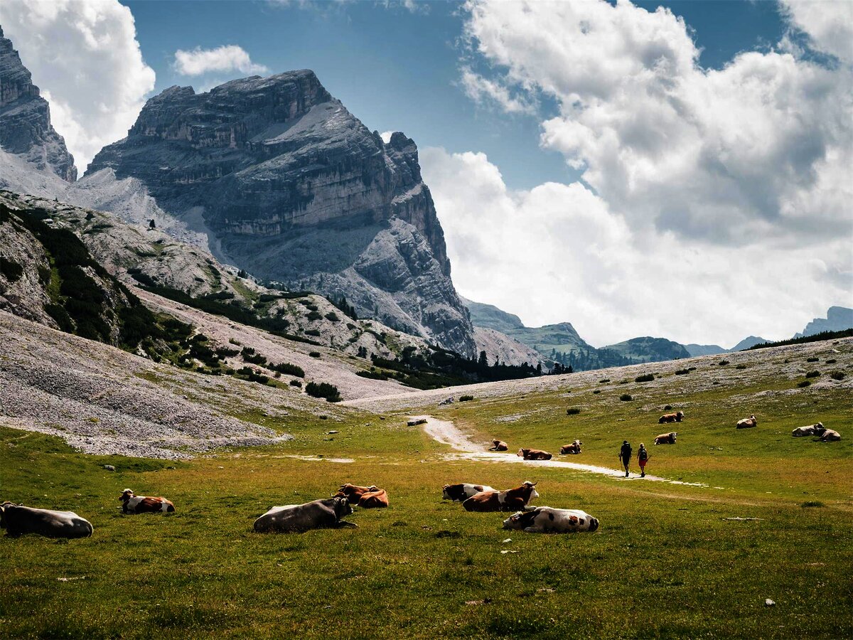
Curated by Alta Badia Tourism Cooperative
Badia/Abtei
Ladin villages of La Villa, San Cassiano and Pedraces in the upper Val Badia, under the Conturines and the Fanes plateau.
- 11Highlights
- 52Routes
- Featured summit · Piz dles Cunturines
Highlights
4 from neighbouring places
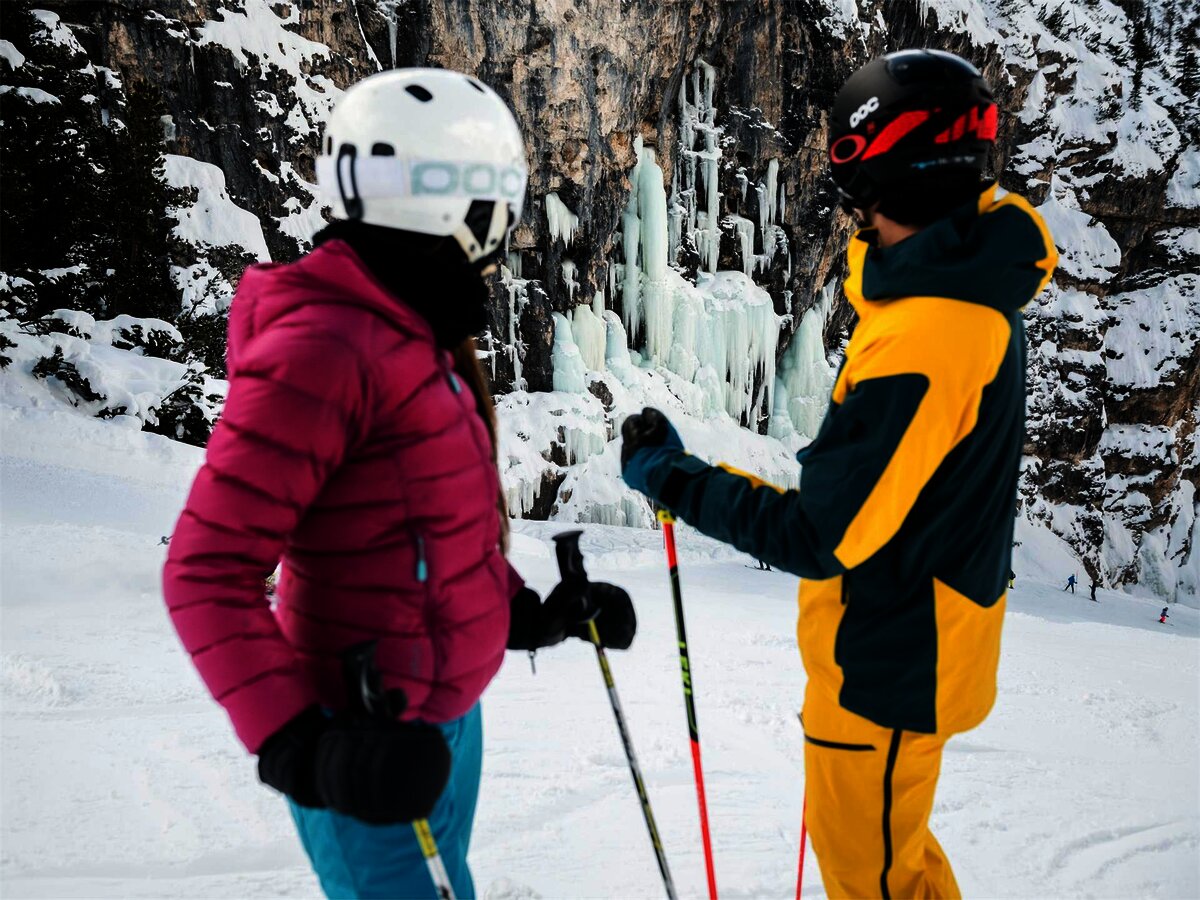
Cascate di ghiaccio allo Scotoni
The frozen waterfalls below the Lagazuoi and Scotoni walls, an ice-climbing ground above the Alta Badia.
Parco Naturale Fanes
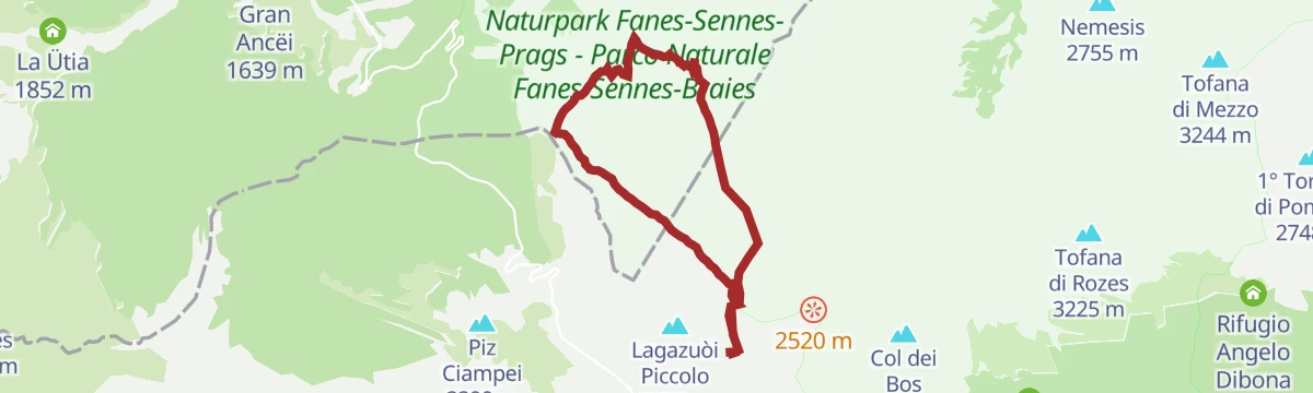
The Fanes plateau above the Alta Badia, a high karst basin of the Fanes-Sennes-Braies park.
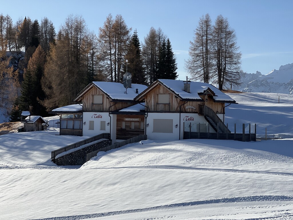
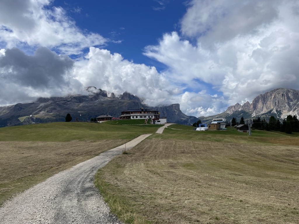
Rifugio I Tablà
A hut at 2,022 m on the slopes above La Villa in the upper Val Badia, on the panoramic walk across the Pralongiá, Bioch and Arlara plateau.
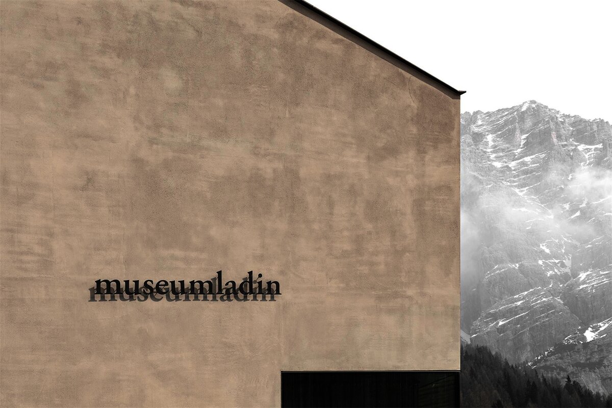
Museum Ladin Ursus ladinicus
A museum in San Cassiano on the cave bear Ursus ladinicus, whose bones were found in the Conturines cave above the village.
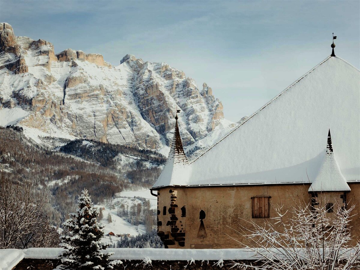
Castello "Ciastel Colz"
A fortified manor of 1530 at La Villa in the Alta Badia, now run as a restaurant.
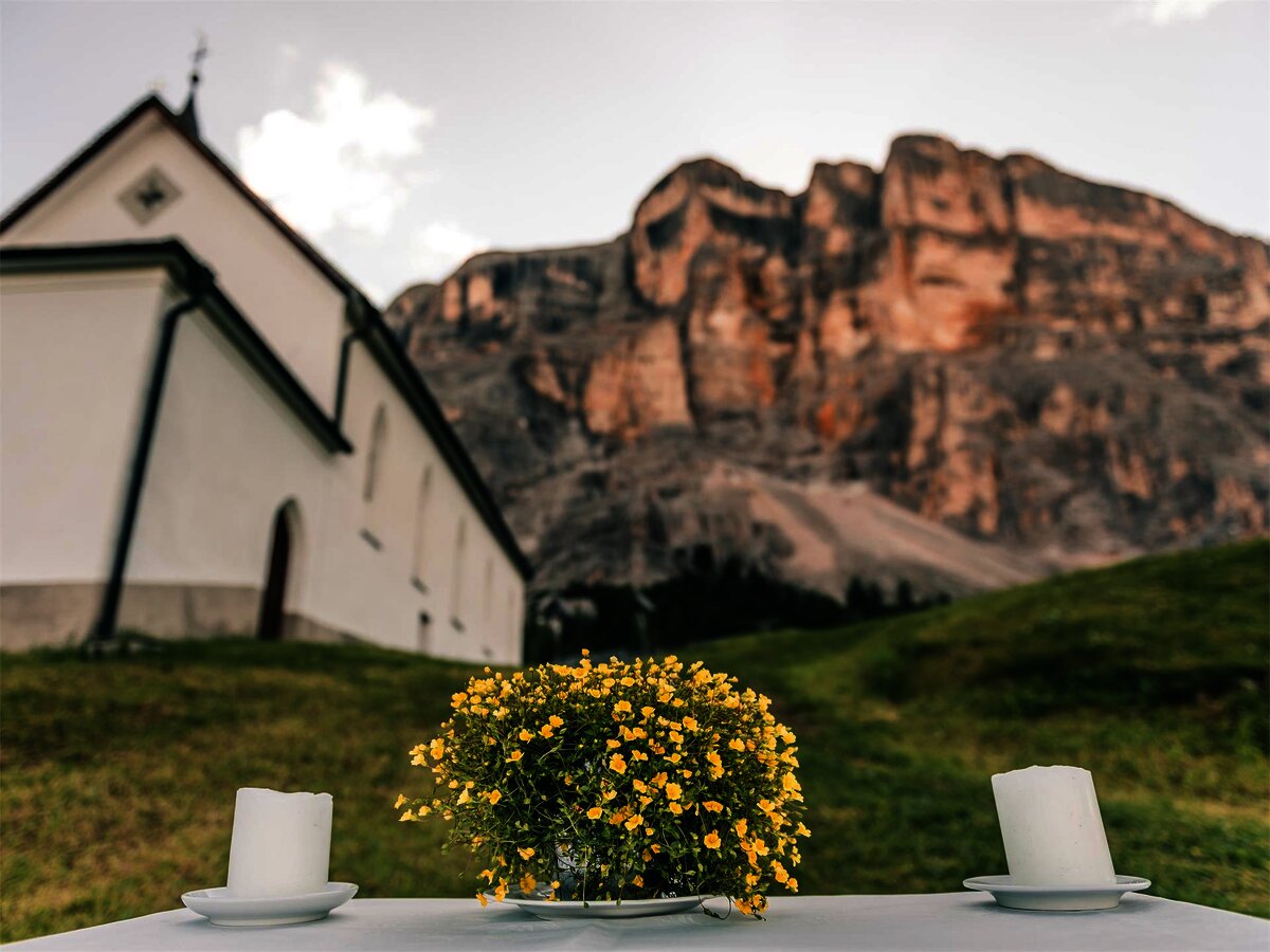
Cappella ai piedi del Sas Dlacia
A chapel at the foot of the Sas Dlacia rock face above San Cassiano.
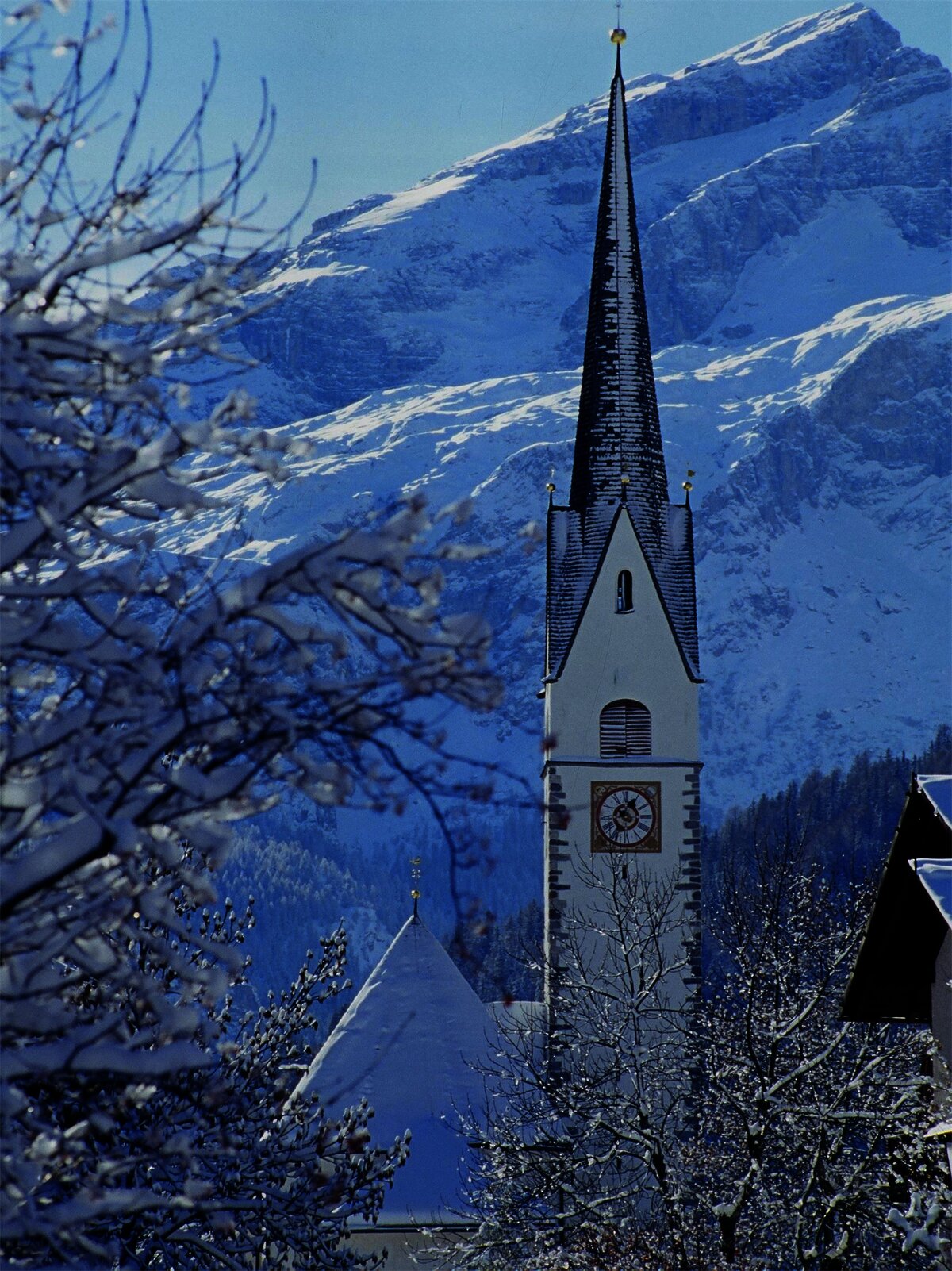
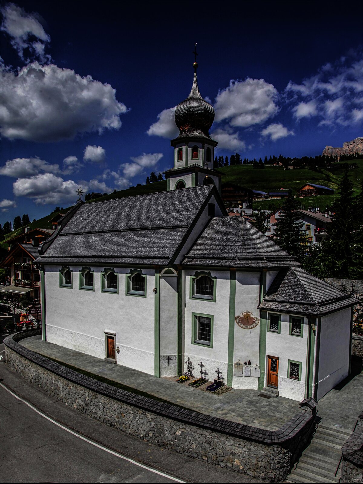
Chiesa parrocchiale San Cassiano
The parish church of San Cassiano in the Alta Badia, below the Conturines.
Chiesa/santuario La Crusc/Santa Croce
The Santa Croce sanctuary at 2,045 m below the Sas dla Crusc, a pilgrimage church above Badia since the fifteenth century.
Piz Arlara
4 km away, in Corvara in Badia/Corvara
An alpine restaurant at 2,016 m on the heights east of Corvara in Badia, the largest village of the upper Val Badia.
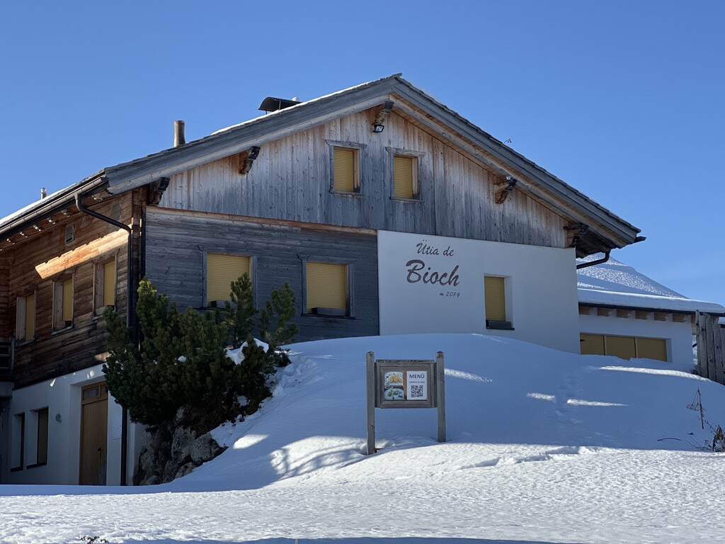
Rifugio Ütia de Bioch
4.1 km away, in Corvara in Badia/Corvara
A Ladin mountain hut at 2,076 m on the high pastures between Corvara and La Villa, on the walk over the Pralongiá from San Cassiano.
Galaria d'Ert Acuarei
4.8 km away, in Corvara in Badia/Corvara
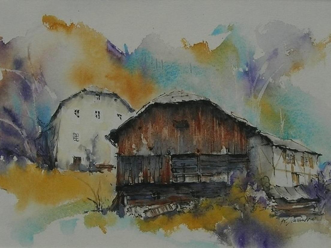
A gallery in Corvara showing watercolours by Ladin painters of the Dolomites.
Boulder Center Corvara
4.9 km away, in Corvara in Badia/Corvara
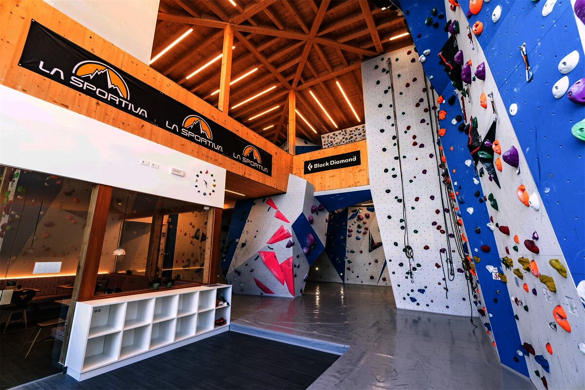
Indoor bouldering walls in Corvara, useful when the Sella faces are wet.
Nothing of this kind in Badia/Abtei.
Routes
50 routes, an even mix of activities · see the rest on altabadia.org ↗
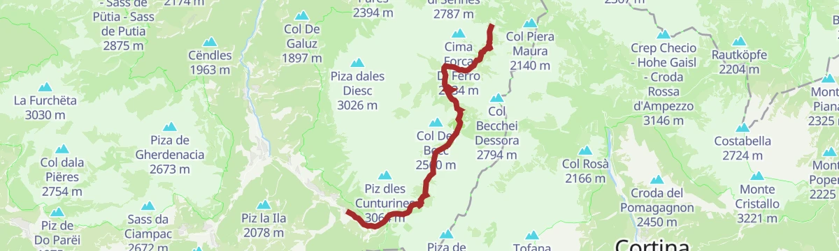
Salita alla cima "Le Ciaval" sul Sas dla Crusc/Santa Croce
A long climb to Le Ciaval on the Sasso di Santa Croce, under vertical walls that redden at sunset, between the Badia valley and the Fanes alp.
- 15.0 km
- Distance
- 998 m
- Ascent
- 10 h 8 min
- Duration
- 227
- Check-ins
 Le Ciaval 2 907 m
- Piz dl Zuber 2 718 m
 Heiligkreuz-Hospitz 2 045 m
- Glam's 1 425 m
- Roda de Ciar 1 451 m
 Ju dla Crusc - Kreuzkofeljoch - Passo di Santa Croce 2 612 m
- +1
Open route Sterzing, Pfitsch und FreienfeldVia ferrata Les Cordes
A short ferrata beside the Puez-Odle park boundary, on the steep old stock route by which La Villa farmers drove cattle up to the Gherdenacia plateau.
- 2.4 km
- Distance
- 309 m
- Ascent
- 2 h 17 min
- Duration
- 73
- Check-ins
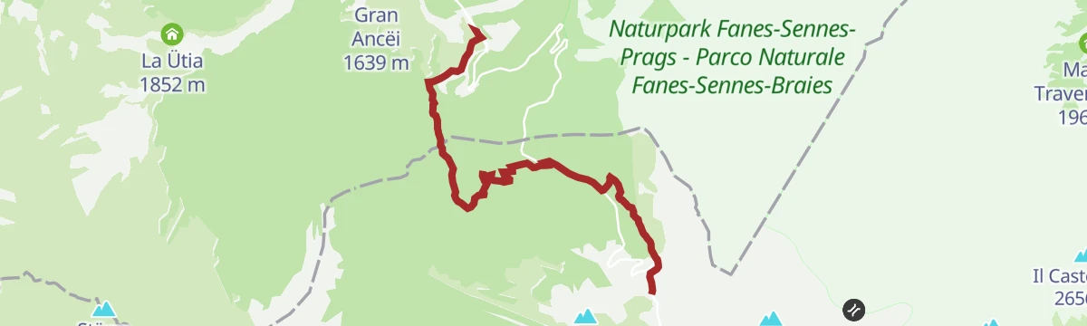
Open route Alta Badia Tourism CooperativeFrom La Villa to the Ütia Gardenacia hut
A climb from La Villa to the Gardenacia hut on the eastern rim of the Puez-Odle park.
- 4.2 km
- Distance
- 272 m
- Ascent
- 2 h 31 min
- Duration
- 101
- Check-ins
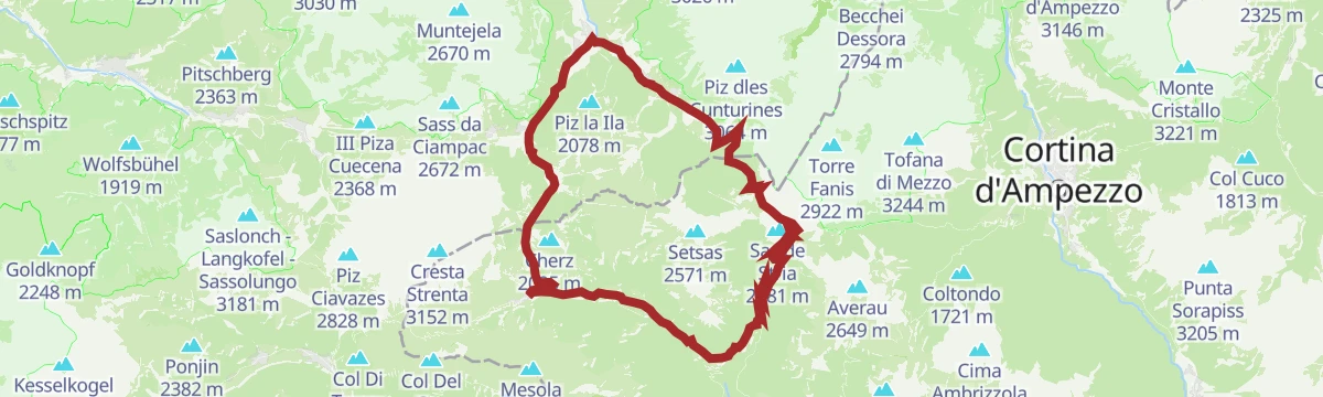
Open route Alta Badia Tourism CooperativeFrom San Cassiano to Pralongiá until Corvara
A high crossing from Piz Sorega over the flowery Pralongia meadows to Corvara, facing the Lagazuoi, the Marmolada and the Sella group.
- 8.7 km
- Distance
- 163 m
- Ascent
- 2 h 52 min
- Duration
- 740
- Check-ins
- Piz Bioch 2 079 m
- Pralongiá 2 137 m
- Piz de Surega 2 011 m
- Forcelles 2 003 m
- Pralongià 2 130 m
- Ütia de Bioch 2 076 m
- +5
Open route Alta Badia Tourism CooperativeSuper 8 Ski Route
A figure-of-eight ski itinerary through the Cinque Torri and Lagazuoi areas, much of it on piste, facing the Tofana, Pelmo, Civetta and Marmolada.
- 29.1 km
- Distance
- 2 082 m
- Ascent
- 13 h 46 min
- Duration
- 1890
- Check-ins
- Punta Dallago 2 481 m
- Rifugio Scoiattoli 2 255 m
- Rifugio Lagazuoi 2 752 m
- Rifugio Averau 2 413 m
- Forcella Nuvolau 2 417 m
- Falzarego Pass 2 105 m
- +11
Open route Cortina Marketing Se.Am.Discesa a neve fresca dal Valparola all'Armentarola
An easy off-piste descent from the Passo Valparola to the Armentarola, facing the Lagazuoi, the Sass de Stria and the Conturines.
- 5.8 km
- Distance
- 71 m
- Ascent
- 620 m
- Descent
- 1 h 39 min
- Duration
- 94
- Check-ins
Open route Sterzing, Pfitsch und FreienfeldItinerario di scialpinismo Armentarola - Störes - Pralongià
A mid-grade ski tour on a beaten track from Armentarola, up through spruce and larch to the wide Stoeres prairie with its wooden barns, then to the summit.
- 6.4 km
- Distance
- 529 m
- Ascent
- 20 m
- Descent
- 2 h 9 min
- Duration
- 214
- Check-ins
Open route Sterzing, Pfitsch und FreienfeldFreeride Bike-Parcours Gardenaccia
A descent from the top station of the Gardenaccia chairlift, over bumps, jumps, roots and stones through the wood.
- 3.2 km
- Distance
- 0 m
- Ascent
- 25 min
- Duration
Open route Alta Badia Tourism CooperativeMTB Fanes-Tour
A circuit into the Fanes-Sennes-Prags park above San Vigilio, climbing past Ücia Pices Fanes and Ücia dles Muntagnoles to the Jú de Limo.
- 56.5 km
- Distance
- 1 346 m
- Ascent
- 6 h 17 min
- Duration
- 699
- Check-ins
- Capanna Alpina 1 732 m
- Üćia Pederù - Berggasthaus Pederü - Rifugio Pederü 1 548 m
- Rifugio Fanes 2 060 m
- Ucia de Gran Fanes 2 102 m
- Jú de Limo 2 172 m
- Ücia dles Muntagnoles 2 026 m
- +16
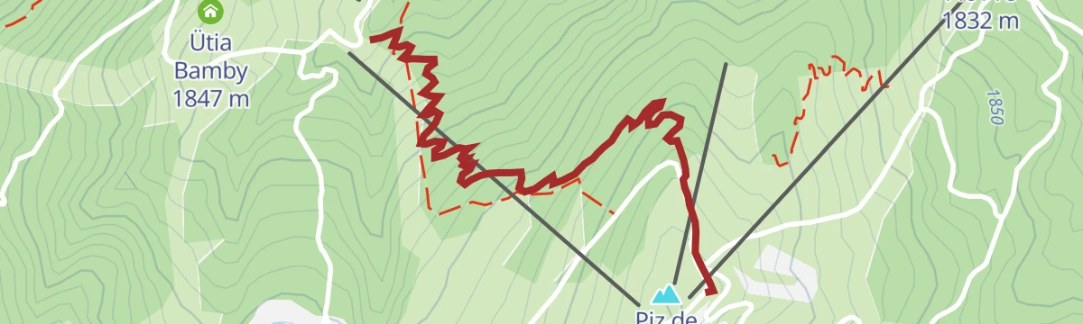
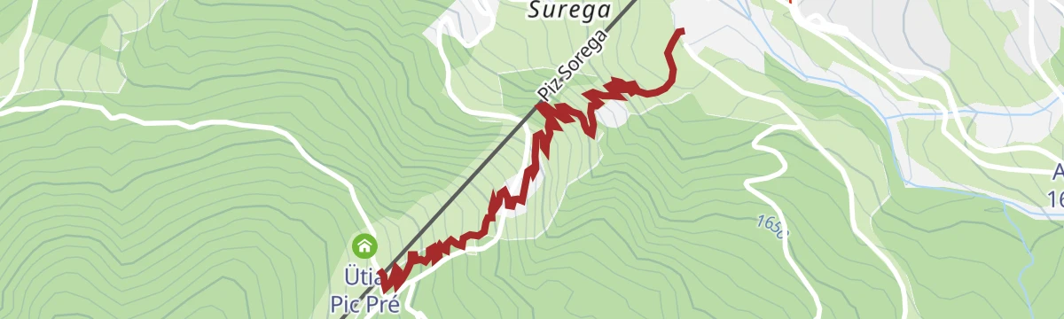
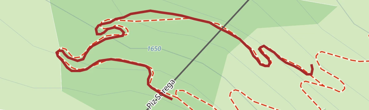
Open route San Vigilio DolomitesBike Beats - Cör Trail
The red line through the woods below Piz Sorega, with jumps, waves, berms and wallrides along its length.
- 1.4 km
- Distance
- 0 m
- Ascent
- 11 min
- Duration
- 172
- Check-ins
Open route Alta Badia Tourism CooperativeMaratona dles Dolomites
The full marathon course from Canazei over the Sella, Gardena, Campolongo, Pordoi and Falzarego passes in a single day.
- 116.2 km
- Distance
- 3 599 m
- Ascent
- 13 h 42 min
- Duration
- 2924
- Check-ins
- Val Dantermont 1 728 m
- Jouf de Pordoi - Passo Pordoi - Pordoijoch 2 239 m
- Falzarego Pass 2 105 m
- Gardena Pass 2 121 m
- Bar Funivia 2 240 m
- L'Angolino del Sella 2 179 m
- +58
Open route APT Val di FassaHike Corvara - La Villa
A quiet level walk from Corvara down the Rü Tort through woods and meadows to La Villa.
- 5.1 km
- Distance
- 20 m
- Ascent
- 1 h 20 min
- Duration
- 86
- Check-ins
Open route Alta Badia Tourism CooperativeAt Lake Lagazuoi
A descent from the Rifugio Lagazuoi by Forcella Lagazuoi into the rocky valley under the Lagazuoi Grande walls, down to the lake.
- 8.9 km
- Distance
- 787 m
- Ascent
- 4 h 56 min
- Duration
- 519
- Check-ins
- Rifugio Lagazuoi 2 752 m
- Ütia de Scotoni - Scotoni-Hütte - Rifugio Scotoni 1 985 m
 Lech de Lagació 2 182 m
- Rifugio Scottoni 1 993 m
- Scotoncino 1 993 m
- Bar Pasticceria Lagazuoi 2 729 m
- +1
Open route Cortina Marketing Se.Am.Dolomites World Heritage Geotrail II – Stage 6: from the Puez Hut to Armentarola
A long stage from the high Puez plateau, past bizarre rock shapes, down over the Pralongià pastures with the Sassongher rising ahead.
- 21.2 km
- Distance
- 696 m
- Ascent
- 7 h 33 min
- Duration
- 764
- Check-ins
- Piz Bioch 2 079 m
- Pralongiá 2 137 m
- Piz Arlara 2 015 m
- Piz D'alander 1 895 m
- Pralongià 2 130 m
- Ütia de Bioch 2 076 m
- +9
Open route Alta Badia Tourism CooperativeBike Beats - Ödli Trail
The easiest of the Piz Sorega lines, running down the slope with the Dolomites open in front of the rider.
- 1.6 km
- Distance
- 0 m
- Ascent
- 12 min
- Duration
- 172
- Check-ins
Open route Alta Badia Tourism CooperativeRoad bike tour to the Tre Cime/Drei Zinnen
A long ride from San Cassiano over the Falzarego and the Passo Tre Croci to Lago d'Antorno, returning across the Valparola Pass.
- 108.8 km
- Distance
- 3 126 m
- Ascent
- 12 h 36 min
- Duration
- 1528
- Check-ins
- Falzarego Pass 2 105 m
- Rifugio Antorno 1 876 m
- Passo Tre Croci - Son Zuógo 1 809 m
- Lago d'Antorno 1 868 m
- Bar Bazar 2 106 m
- Rifugio "Passo Valparola" 2 168 m
- +31
Open route Alta Badia Tourism CooperativePath of artists - Tru di artisć
A gentle rise from La Villa to San Cassiano beside the stream and through conifer wood, past open-air works by artists of the Ladin valleys.
- 5.2 km
- Distance
- 223 m
- Ascent
- 1 h 35 min
- Duration
- 81
- Check-ins
- Glam's 1 425 m
- Ai Pini 1 633 m
- Museum Ladin 1 535 m
- Hotel Armentarola 1 622 m
- Hotel Grand Paradiso 1 633 m
Open route Alta Badia Tourism CooperativeHike from San Cassiano to the Fanes Plateau
A walk from Sciaré near San Cassiano up onto the Fanes plateau, inside the Fanes-Sennes-Braies park and the landscape of the Ladin legends.
- 13.6 km
- Distance
- 544 m
- Ascent
- 4 h 41 min
- Duration
- 465
- Check-ins
- Capanna Alpina 1 732 m
- Üćia Pederù - Berggasthaus Pederü - Rifugio Pederü 1 548 m
- Rifugio Fanes 2 060 m
- Ucia de Gran Fanes 2 102 m
- Jú de Limo 2 172 m
- Ücia dles Muntagnoles 2 026 m
- +2
Open route Alta Badia Tourism CooperativeDolomites World Heritage Geotrail II: from Armentarola to Pederü
A day on the Dolomites UNESCO Geotrail across the Fanes plateau, through rock folds left when these beds collided with the European margin.
- 16.6 km
- Distance
- 651 m
- Ascent
- 5 h 35 min
- Duration
- 506
- Check-ins
- Capanna Alpina 1 732 m
- Üćia Pederù - Berggasthaus Pederü - Rifugio Pederü 1 548 m
- Rifugio Fanes 2 060 m
- Ucia de Gran Fanes 2 102 m
- Jú de Limo 2 172 m
- Ücia dles Muntagnoles 2 026 m
- +4
Open route San Vigilio DolomitesBike Beats - Mans Trail
A moderate line off Piz Sorega, named for the hands in Ladin and asking for a light touch throughout.
- 1.9 km
- Distance
- 0 m
- Ascent
- 14 min
- Duration
- 140
- Check-ins
Open route Alta Badia Tourism CooperativeRoad bike tour to the legendary Giau pass
A road loop from Corvara to the Passo Giau, ten kilometres with long stretches above ten percent, returning by Falzarego.
- 76.0 km
- Distance
- 2 252 m
- Ascent
- 8 h 52 min
- Duration
- 1439
- Check-ins
- Passo di Giau 2 236 m
- Falzarego Pass 2 105 m
- Berghotel Passo Giau 2 235 m
- La Tambra 1 843 m
- Bar Bazar 2 106 m
- Rifugio "Passo Valparola" 2 168 m
- +25
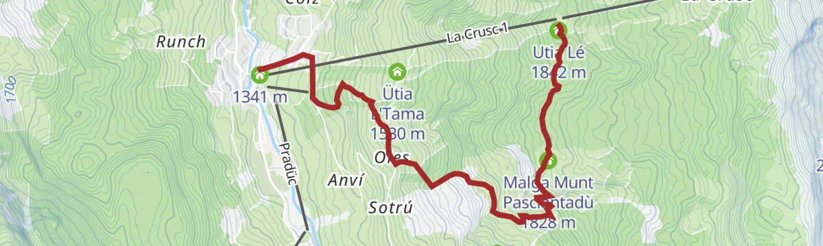
Open route Alta Badia Tourism CooperativeTo the Pasciantadú pastures passing near the Lech Dlá Lé lake
A walk in Badia through wood, meadow and pasture past a small lake, facing the Sas dla Crusc wall, the Sella group and the Sassongher.
- 6.7 km
- Distance
- 170 m
- Ascent
- 2 h 20 min
- Duration
- 67
- Check-ins
- Utia Lé 1 842 m
- Skihütte Nagler 1 837 m
- Malga Munt Pasciantadù 1 828 m
- Lech Dlá Lé 1 813 m
- Tana dell'orso 1 510 m
Open route Alta Badia Tourism CooperativeFrom San Cassiano/Sciaré across the Forcela dl Lech notch to the Lech de Lagació lake and the Ütia Scotoni hut
A varied mountain route from San Cassiano over the Forcela dl Lech to the Lagació lake and the Scotoni hut, with the Conturines standing to the west.
- 12.8 km
- Distance
- 833 m
- Ascent
- 5 h 38 min
- Duration
- 345
- Check-ins
- Capanna Alpina 1 732 m
- Ütia de Scotoni - Scotoni-Hütte - Rifugio Scotoni 1 985 m
- Lech de Lagació 2 182 m
- Rifugio Scottoni 1 993 m
- Scotoncino 1 993 m
- Forcela dl Lech - Forcella di Lago 2 486 m
- +1
Open route Alta Badia Tourism CooperativeHike from Pederü to Capanna Alpina
A long crossing of the Fanes-Sennes-Braies park from Pederü on trail 7, up the valley floor under bare rock walls and over to Capanna Alpina.
- 15.3 km
- Distance
- 748 m
- Ascent
- 5 h 20 min
- Duration
- 478
- Check-ins
- Capanna Alpina 1 732 m
- Üćia Pederù - Berggasthaus Pederü - Rifugio Pederü 1 548 m
- Rifugio Fanes 2 060 m
- Ucia de Gran Fanes 2 102 m
- Jú de Limo 2 172 m
- Ücia dles Muntagnoles 2 026 m
- +3
Open route San Vigilio DolomitesBike Beats - Avëna Trail
The blue lower section of the Piz Sorega trails, where the Ödli and Cör lines join at 1,700 m for the run down to the valley.
- 1.7 km
- Distance
- 0 m
- Ascent
- 16 min
- Duration
- 32
- Check-ins
Open route Alta Badia Tourism Cooperative"Dolomites Bike Day"
A pass ride through the Fodom valley by way of Arabba, over the Falzarego to the Valparola and down into the Val Badia for one last climb.
- 50.9 km
- Distance
- 1 314 m
- Ascent
- 5 h 45 min
- Duration
- 1030
- Check-ins
- Falzarego Pass 2 105 m
- La Tambra 1 843 m
- Bar Bazar 2 106 m
- Rifugio "Passo Valparola" 2 168 m
- Valparola Pass 2 192 m
- Zirmstube 1 563 m
- +26
Open route Arabba Fodom TurismoTo the Lech Dlá Lé lake
A very short family walk in Badia to the Lech Dla Le, along a trail lined with animals carved by chainsaw from larch and pine.
- 412 m
- Distance
- 0 m
- Ascent
- 7 min
- Duration
- 51
- Check-ins
Open route Alta Badia Tourism CooperativeFrom Passo Valparola to Pralongiá and down to San Cassiano
A high traverse from Passo Valparola below the Setsass to the Pralongia plateau and down to San Cassiano, facing the Lagazuoi, Lavarela and Conturines.
- 14.2 km
- Distance
- 278 m
- Ascent
- 4 h 37 min
- Duration
- 316
- Check-ins
- Pralongiá 2 137 m
- Störes 2 185 m
- Pralongià 2 130 m
- Rifugio "Passo Valparola" 2 168 m
- Ütia Malga Saraghes 1 839 m
Open route Alta Badia Tourism Cooperative4 Peaks Alta Badia
A hard link-up of Sas dla Crusc, Piza dales Diesc, Lavarela and Conturines on the rim of the Fanes-Sennes-Braies park, for experienced climbers only.
- 25.2 km
- Distance
- 1 985 m
- Ascent
- 13 h 26 min
- Duration
- 363
- Check-ins
- Le Ciaval 2 907 m
- Piz de Lavarela - La Varella 3 055 m
- Piza dales Diesc 3 026 m
- Piz dl Zuber 2 718 m
- Piz dles Cunturines 3 064 m
- Piz dles Döes Forceles 2 948 m
- +7
Open route Alta Badia Tourism CooperativeBike Beats - Bridge Line
A short variant on the last part of the Avëna trail, dropping through the wood on Piz Sorega above San Cassiano.
- 368 m
- Distance
- 0 m
- Ascent
- 3 min
- Duration
Open route Alta Badia Tourism CooperativeRoda de Fodom road bike tour
A road circuit from Corvara over the Falzarego and Valparola passes, on stages ridden by the Giro and the Dolomites Bike Day.
- 53.3 km
- Distance
- 1 399 m
- Ascent
- 6 h 3 min
- Duration
- 1013
- Check-ins
- Falzarego Pass 2 105 m
- La Tambra 1 843 m
- Bar Bazar 2 106 m
- Rifugio "Passo Valparola" 2 168 m
- Valparola Pass 2 192 m
- Zirmstube 1 563 m
- +23
Open route Alta Badia Tourism CooperativeTru di tiers - on the trail of the wild animals
A very short family trail to the green Lech Dla Le, with carved mountain animals and a stamp hunt that starts at the Rifugio Le hut.
- 433 m
- Distance
- 0 m
- Ascent
- 7 min
- Duration
- 51
- Check-ins
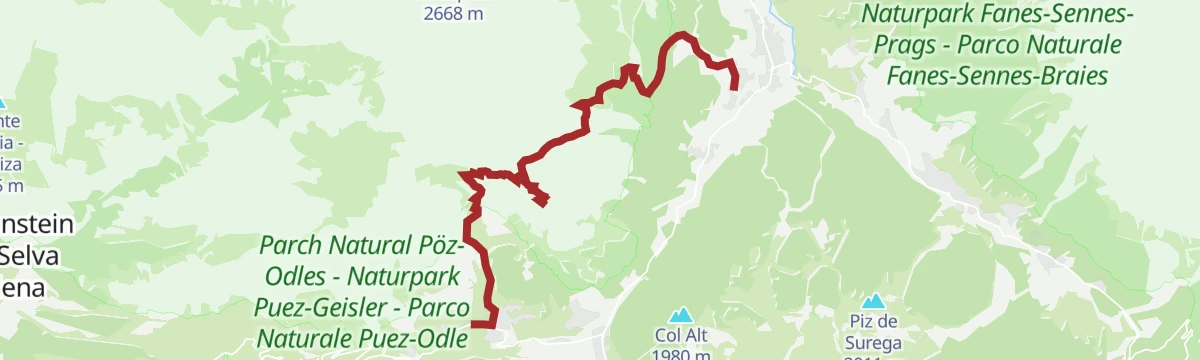
Open route Alta Badia Tourism CooperativeFrom La Villa to the Puez Nature Park – UNESCO World Heritage
A climb from La Villa onto the eastern end of the Puez plateau, bare as a lunar landscape and known for the range of its mountain flora.
- 6.8 km
- Distance
- 816 m
- Ascent
- 3 h 34 min
- Duration
- 170
- Check-ins
Open route Alta Badia Tourism CooperativeClimb to the "Ciaval" peak on the Sas dla Crusc/Santa Croce
A long ascent to the Ciaval on the Sasso di Santa Croce, between the green Badia valley and the Fanes alp, with marmots and chamois on the ridges.
- 15.1 km
- Distance
- 966 m
- Ascent
- 7 h 43 min
- Duration
- 227
- Check-ins
- Le Ciaval 2 907 m
- Piz dl Zuber 2 718 m
- Heiligkreuz-Hospitz 2 045 m
- Glam's 1 425 m
- Roda de Ciar 1 451 m
- Ju dla Crusc - Kreuzkofeljoch - Passo di Santa Croce 2 612 m
- +1
Open route Alta Badia Tourism CooperativeBike Beats - Jump Line
A line for experienced riders branching off the Cör trail, through wood and meadow over jumps, drops and kickers.
- 602 m
- Distance
- 0 m
- Ascent
- 5 min
- Duration
Open route Alta Badia Tourism CooperativeRoad Bike Alleghe 7 - Col di Lana route
A road loop from Alleghe around the First World War front lines of Col di Lana, over the Falzarego and Valparola passes.
- 77.4 km
- Distance
- 1 769 m
- Ascent
- 8 h 32 min
- Duration
- 970
- Check-ins
- Falzarego Pass 2 105 m
- La Tambra 1 843 m
- Bar Bazar 2 106 m
- Rifugio "Passo Valparola" 2 168 m
- Valparola Pass 2 192 m
- Zirmstube 1 563 m
- +24
Open route Consorzio Operatori Turistici Alleghe - CaprileLarch wood path - Tru di lersc
A nature trail through larch wood and alpine meadow between Ru and Rudeferia, past a restored working water mill and old dry-stone field boundaries.
- 5.1 km
- Distance
- 206 m
- Ascent
- 1 h 42 min
- Duration
- 17
- Check-ins
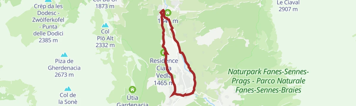
Open route Alta Badia Tourism CooperativeWalk from La Villa to the Lech da Sompunt Lake
A level walk through wood and meadow from La Villa towards Badia and the Sompunt lake, facing the Sas dla Crusc; pushchairs manage it.
- 7.5 km
- Distance
- 163 m
- Ascent
- 2 h 10 min
- Duration
- 98
- Check-ins
- Lech de Sompunt 1 459 m
- Glam's 1 425 m
- Residence Ciasa Vedla 1 465 m
- Badia Pub 1 327 m
- Badia Tourist Office 1 332 m
Open route Alta Badia Tourism CooperativeFrom Colfosco to the Sassongher and Gherdenacia, ending in La Villa
A climb to the Sassongher, the sheer tower above Corvara and Colfosco, then across the Gherdenacia and down to La Villa.
- 12.2 km
- Distance
- 1 136 m
- Ascent
- 7 h 23 min
- Duration
- 212
- Check-ins
Open route Alta Badia Tourism CooperativeBike Beats - Odlina Line
A branch off the Ödli line in the Piz Sorega park, flowing down through the woods before rejoining it.
- 157 m
- Distance
- 0 m
- Ascent
- 1 min
- Duration
Open route Alta Badia Tourism CooperativeRoad bike tour to the passo delle Erbe/Würzjoch
A road loop from Corvara to the Passo delle Erbe, skirting the Puez-Odle park under the Dolomite walls.
- 68.9 km
- Distance
- 1 867 m
- Ascent
- 7 h 52 min
- Duration
- 403
- Check-ins
- Jü de Börz - Würzjoch - Passo delle Erbe 1 987 m
- Ütia de Börz - Würzjochhütte 2 007 m
- Ütia Cir 2 005 m
- Residence Elisa 1 559 m
- Hotel Bel Sit 1 513 m
- Malga Paraciora 1 377 m
- +8
Open route Alta Badia Tourism CooperativeFrom San Cassiano/Sciaré to the Malga Valparola alp and to the Passo Valparola
A climb out of San Cassiano to the Valparola alp and pass, where ore mined in Livinallongo was once smelted; the furnaces stand in ruins.
- 5.7 km
- Distance
- 507 m
- Ascent
- 2 h 15 min
- Duration
- 89
- Check-ins
Open route Alta Badia Tourism CooperativeFrom Badia to the sanctuary of La Crusc/S.Croce and back through the Armentara meadows
A long round from Badia to the Santa Croce sanctuary and back over the flower-rich Armentara meadows, under the wall of the Sas dla Crusc.
- 19.6 km
- Distance
- 539 m
- Ascent
- 6 h 36 min
- Duration
- 122
- Check-ins
Open route Alta Badia Tourism CooperativeRoad bike tour along the Val Badia valley
A road circuit from Corvara down to Piccolino, then up to the quiet hamlet of Mirí above San Martino in Badia.
- 60.3 km
- Distance
- 1 280 m
- Ascent
- 6 h 34 min
- Duration
- 155
- Check-ins
- Corf 1 539 m
- Malga Paraciora 1 377 m
- Glam's 1 425 m
- L'Fana 1 425 m
- Badia Pub 1 327 m
- Badia Tourist Office 1 332 m
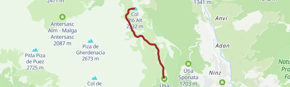
Open route Alta Badia Tourism CooperativeFrom the hut Ütia Gardenacia to the Col Plö Alt
A quiet walk from the Gardenacia hut above La Villa to the Col Ploe Alt, over high pasture grazed by cattle and horses.
- 9.4 km
- Distance
- 527 m
- Ascent
- 3 h 17 min
- Duration
- 87
- Check-ins
Open route Alta Badia Tourism CooperativeExcursion from San Cassiano to Badia through Santa Croce
A day between San Cassiano and Badia along the foot of the Sas dla Crusc, through pasture and wood, with the Marmolada, Sella and Sass de Puetia in sight.
- 16.2 km
- Distance
- 874 m
- Ascent
- 6 h 36 min
- Duration
- 115
- Check-ins
Open route Alta Badia Tourism CooperativeRoad bike tour to the Furcia Pass
A road loop from Badia over the Ju de Furćia into the Val Pusteria, on climbing roads the Giro d'Italia has used more than once.
- 85.2 km
- Distance
- 1 758 m
- Ascent
- 9 h 13 min
- Duration
- 131
- Check-ins
- Furcia Center 1 741 m
- Ju de Furćia - Furkelpass - Passo Furcia 1 789 m
- Cafe Preroman 1 107 m
- Posta 1 019 m
- Hubertus 1 292 m
- Marchner Hütte 1 551 m
- +9
Open route Alta Badia Tourism CooperativeLakes path - Tru di lec
A walk from Badia below the Gherdenacia walls to two emerald lakes, the Lech Dla Lunch and the Lech da Sompunt, through thick wood and deep meadow.
- 7.6 km
- Distance
- 287 m
- Ascent
- 2 h 30 min
- Duration
- 59
- Check-ins
- Lech de Sompunt 1 459 m
- Residence Ciasa Vedla 1 465 m
- Lech Dlà Lunch 1 537 m
- Badia Tourist Office 1 332 m
Open route Alta Badia Tourism CooperativeZwölferkofel in the Gadertal
A climb through the secluded Antersasc valley, its unmanned dairy ringed by limestone, over hollows and meadow to the broad ridge of the Crep dales Dodesc.
- 13.1 km
- Distance
- 922 m
- Ascent
- 6 h 7 min
- Duration
- 14
- Check-ins
- Crëp da les Dodesc - Zwölferkofel - Punta delle Dodici 2 385 m
- Antersasc Alm - Malga Antersasc 2 087 m
Open route AVS Sektion Sand in TaufersFarmhouses trail - Tru dles viles
An easy circuit just above the valley floor past the viles, the old Ladin farm clusters of Alta Badia, with very little height gain.
- 9.3 km
- Distance
- 263 m
- Ascent
- 2 h 49 min
- Duration
- 42
- Check-ins
Open route Alta Badia Tourism Cooperative
No routes of this kind in Badia/Abtei yet.
The region's own picks

Featured route
From La Villa to the Ütia Gardenacia hut
A climb from La Villa to the Gardenacia hut on the eastern rim of the Puez-Odle park.
Planning a trip to Badia/Abtei?
Everything else Trentino-Alto Adige/Südtirol has, in one place


Take Badia/Abtei with you into the mountains
Every route on this page with 3D terrain, GPX navigation and offline maps — including the valleys with no signal.
Data sources
- Official website: altabadia.org ↗
- Routes and highlights: Alta Badia Tourism Cooperative, Alta Badia, Sterzing, Pfitsch und Freienfeld, YesAlps, San Vigilio Dolomites, Cortina Marketing Se.Am., APT Val di Fassa, Arabba Fodom Turismo, Consorzio Operatori Turistici Alleghe - Caprile, AVS Sektion Sand in Taufers
- Published as open data by the tourist boards named above.
- Region summary generated from the board's own material.
