Get PeakVisor App
Sign In
Search by GPS coordinates
- Latitude
- ° ' ''
- Longitude
- ° ' ''
- Units of Length

Yes
Cancel
❤ Wishlist ×
Choose
Delete
The homeland of beautiful mountains, rich culture, and an exquisite cuisine, South Korea is a country located in eastern Asia. South Korea, which is sometimes simply referred to as Korea, is home to 7846 named mountains, the highest and most prominent of which is Hallasan (Dongneung/한라산) at 1,950 m (6,398 ft) in elevation.
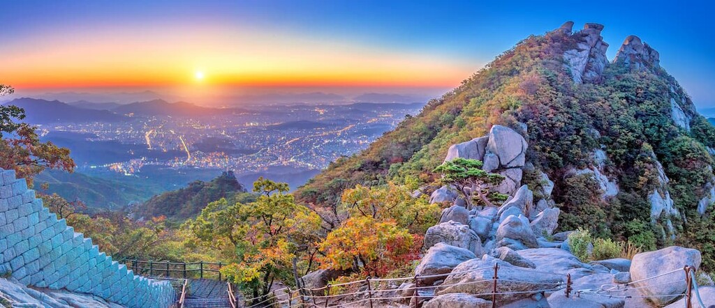
The country of South Korea (officially the Republic of Korea (Daehan Minguk/대한민국) is a small nation situated in the eastern part of Asia.
With a total area of some 100,363 square kilometers, (38,750 sq. mi), South Korea is the 107th largest country on Earth after Bulgaria, Cuba, Guatemala, and Iceland. Without counting its mutually disputed territories with North Korea, South Korea is just slightly larger than Hungary, Portugal, Jordan, and Serbia.
However, with a population of well over 51 million people as of 2021, South Korea is the world’s 27th largest country after South Africa, Tanzania, and Italy though it is just slightly bigger than Colombia and Kenya in terms of total population. This also makes it the 13th most densely populated country on the planet after the much smaller countries of Lebanon, Barbados, Mauritius, and San Marino.
Due to its location on the southernmost part of the Korean Peninsula, South Korea has just one land border—the border with North Korea (Democratic People’s Republic of Korea). However, it also shares maritime borders with both Japan and China.
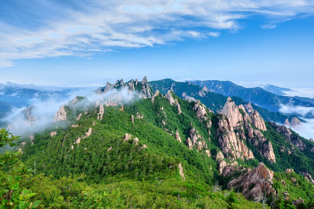
It is also worth mentioning that, as of 2021, South Korea’s northern border with North Korea contains a 4 km (2.5 mile) wide region known as the Korean Demilitarized Zone (Hanbando Bimujang jidae/한반도 비무장 지대), which is commonly referred to as the DMZ.
The DMZ has been in place since the end of the Korean War and it is technically considered neutral territory. However, contrary to its name, the area just outside the DMZ is home to a large militarized presence on both sides of the border. The DMZ is not open to the public.
South Korea is officially divided up into nine provinces that are currently under the country’s control. These provinces are further divided up into many dozen counties, cities, autonomous districts and other municipal-level regions known as specific cities. Here’s what you need to know about each province:
Located in the heart of the country, the province of North Chungcheong (Chungcheongbuk-do/충청북도) is home to more than 1.5 million people. Interestingly, it is the country’s only landlocked province, though its lack of coastline comes with the benefit of plenty of mountains.

Within North Chungcheong, agriculture is a major industry, particularly when it comes to the production of rice, potatoes, barley, beans, tobacco, and ginseng. The province is also a big part of the country’s mining industry, thanks to its large reserves of gold, coal, iron, molybdenum, limestone, marble, and steatite.
Furthermore, the province’s mountainous terrain is also home to three national parks:
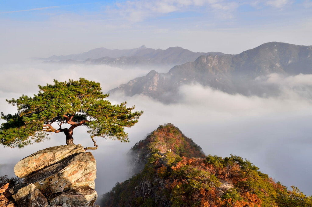
The province of South Chungcheong (Chungcheongnam-do/충청남도) is located in the west-central part of South Korea, though it is, ironically, not located to the south of North Chungcheong. Rather, it is located to the west.
South Chungcheong is home to about 2.1 million people and it is often considered to be the country’s richest province. Indeed, it has rapidly urbanized in recent decades and it is well connected to Seoul via a metropolitain subway system.
Within the province, a decent amount of land is used for agricultural purposes. There are also some active mines in the province, including those for coal, silver, gold, zircon, and Monazite, a type of mineral that contains thorium.
The province also contains two national parks: Taeanhaean National Park (태안해안국립공원) and Gyeryongsan National Park (계룡산국립공원).
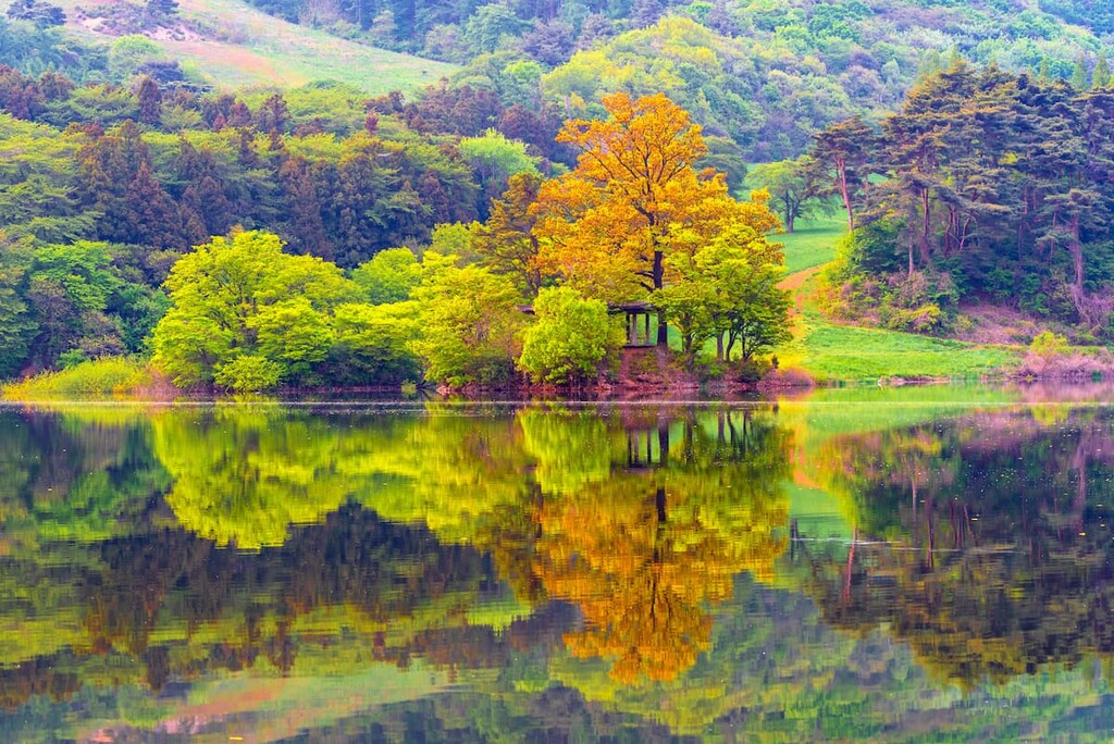
Encompassing much of the northeastern portion of South Korea, the province of Gangwon (Gangwon-do/강원도) is a mountainous and stunning part of the country.
Indeed, Gangwon, which is home to PyeongChang, was the host of the 2018 Winter Olympics and the 2018 Winter Paralympics, a feat that was made possible by its snowy and cold winter climate.
Gangwon province is a popular tourist destination. It has a unique local cuisine and it is the host of a number of important annual festivals. Furthermore, the province contains a handful of amazing cultural sites, including some old Buddhist temples in the mountains.
Within Gangwon, there are also a handful of national parks, including:

South Korea’s most populous province, Gyeonggi (Gyeonggi-do/경기도) is a region located in the northeastern part of the country. The province actually completely surrounds the city of Seoul, though Seoul is technically administered as a special city, which places it at the same administrative level as Gyeonggi.
Home to some 13.4 million people, the province of Gyeonggi is home to a substantial portion of the country’s population. When combined with the fact that nearly 10 million people live in Seoul proper, the greater Seoul Capital Area is home to more than 25 million people, which is more than half of the entire population of South Korea.
Furthermore, the greater Gyeonggi/Seoul area, which is highly urbanized, is also the world’s fourth largest metropolitan area after Tokyo (Japan), Jakarta (Indonesia), and Delhi (India), though it is close in size to Mumbai (India). Plus, when combined with nearby Incheon, the greater metropolitan region of Gyeonggi is one of the largest in the world.
Despite being heavily urbanized, however, Gyeonggi does have one national park: Bukhansan National Park (북한산국립공원). Of course, the province is a major tourist destination in its own right, thanks to its many fantastic festivals, amazing cuisine, and rich cultural heritage.
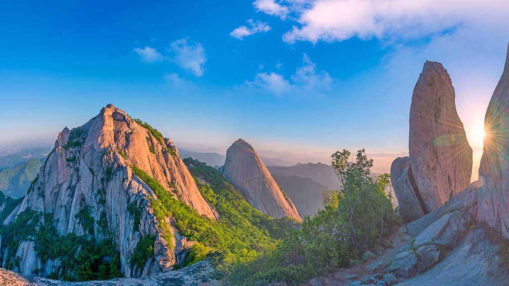
Situated on the east-central coast of South Korea, the province of North Gyeongsang (Gyeongsangbuk-do/경상북도) is home to just under a quarter of the country’s total land area. It is particularly well-known for its rich cultural heritage as it was the homeland of the former kingdom of Silla (신라), which existed from about 57 BCE to 935 CE.
North Gyeongsang is highly mountainous, though it is also considered to be one of the hottest provinces in the country. It is home to a number of major cities, including Daegu, Gumi, and Pohang. Furthermore, the city of Andong is known for its spectacular apple varieties.
When it comes to places to visit, there is no shortage of things to see in North Gyeongsang. The province contains a number of famous cultural sites, including the city of Gyeongju, which was the capital of the kingdom of Silla. The province also contains a handful of national parks, such as:
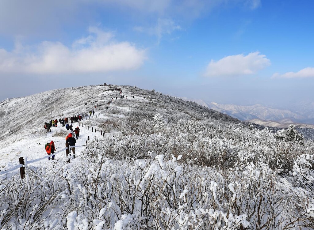
Aptly named, the province of South Gyeongsang (Gyeongsangnam-do/경상남도) is located to the south of North Gyeongsang. Situated along the country’s southeastern coast, Gyeongsang is home to the major port city of Busan.
The province is known for its strong agricultural industry, particularly along the Nakdong River Delta. Here, the region cultivates large quantities of rice, potatoes, barley, and beans, as well as some amazing fresh fruits.
Within South Gyeongsang, visitors can also see Haeinsa, which is a Buddhist temple that dates back to the year 802 CE. Nowadays, the temple is also home to the Tripitaka Koreana, which is the entire collection of Buddhist Scriptures carved into more than 81,000 wooden blocks that have been in the temple since the fourteenth century.
Additionally, the province contains two national parks—Gayasan National Park (가야산국립공원) and Jirisan National Park (지리산국립공원).
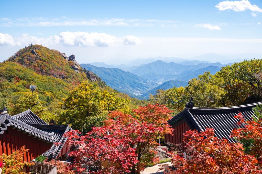
The province of North Jeolla (Jeollabuk-do/전라북도) is located in west-central South Korea in the country’s lower-lying coastal areas. It has a population of around 2 million people, making it one of the smaller provinces in the country.
While not as metropolitain as other parts of the country, North Jeolla does have its own selection of fantastic destinations. In particular, the province contains the city of Jeonju, which contains a lot of traditional architecture, as well as the community of Gimje, which is home to some important Buddhist temples.
The province also contains the Gochang, Hwasun and Ganghwa Dolmen Sites, which are a UNESCO World Heritage Site with archaeological remains dating back to the first millennium BCE. There are also a number of national parks in the province, including Byeonsanbando National Park (변산반도국립공원) and Deogyusan National Park (덕유산국립공원).
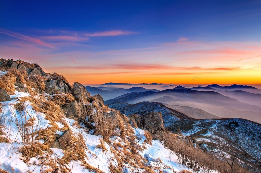
South Jeolla (Jeollanam-do/전라남도) province is situated in the southwestern portion of South Korea along the Korea Strait. The province is home to nearly 2 million people, which ranks it as the sixth-largest in the country.
When compared to the provinces to the east, South Jeolla is less mountainous than the surrounding region. While it does have a small number of mountains, much of the country is dominated by the plains of the rivers Tamjin, Soemjin, and Yeongsan.
Tourism is a relatively large part of the province’s economy, thanks to its many cultural sites. In particular, the province is home to an assortment of important temples, such as the Songgwangsa Temple and the Mihwangsa Temple.
Furthermore, South Jeolla contains a handful of popular national parks, such as:
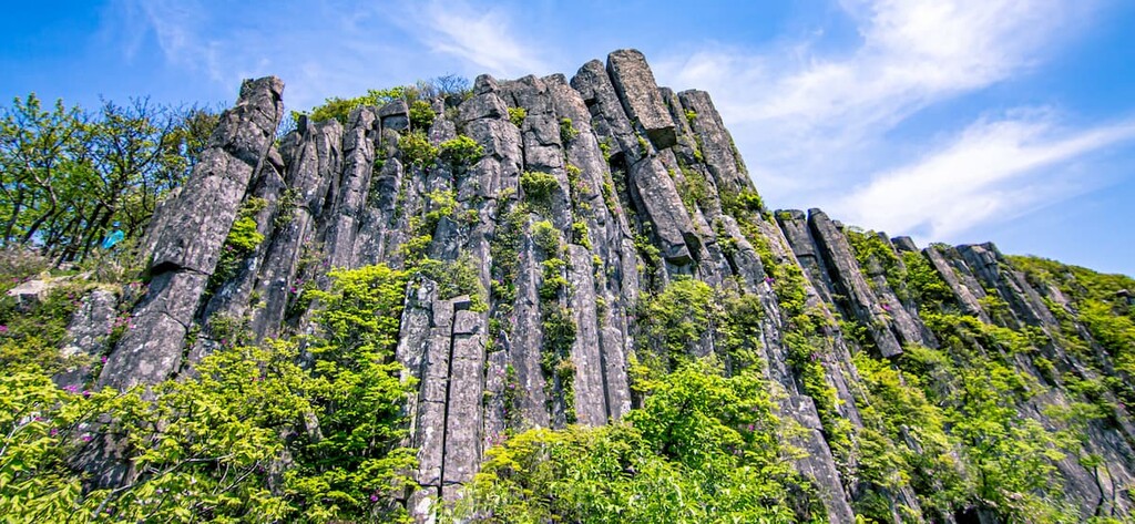
South Korea’s only island-based province, Jeju (Jeju Special Self-Governing Province/제주특별자치도) is an island located off the southwestern coast of the country in the Korea Strait. It is actually the country's largest island and it is home to South Korea’s tallest peak—Hallasan (Dongneung/한라산).
These days, Jeju is a bustling tourist destination, thanks to its stunning natural landscapes. The province boasts a number of festivals each year and its major park, Hallasan National Park (한라산국립공원), is a popular destination for hikers and other outdoor enthusiasts.
Furthermore, the Jeju Olle Trail, which crosses a substantial portion of the island, is a great option for more adventurous trekkers. The trail allows hikers to choose their own route, making it a superb choice for folks looking to see as much as possible of this beautiful island.
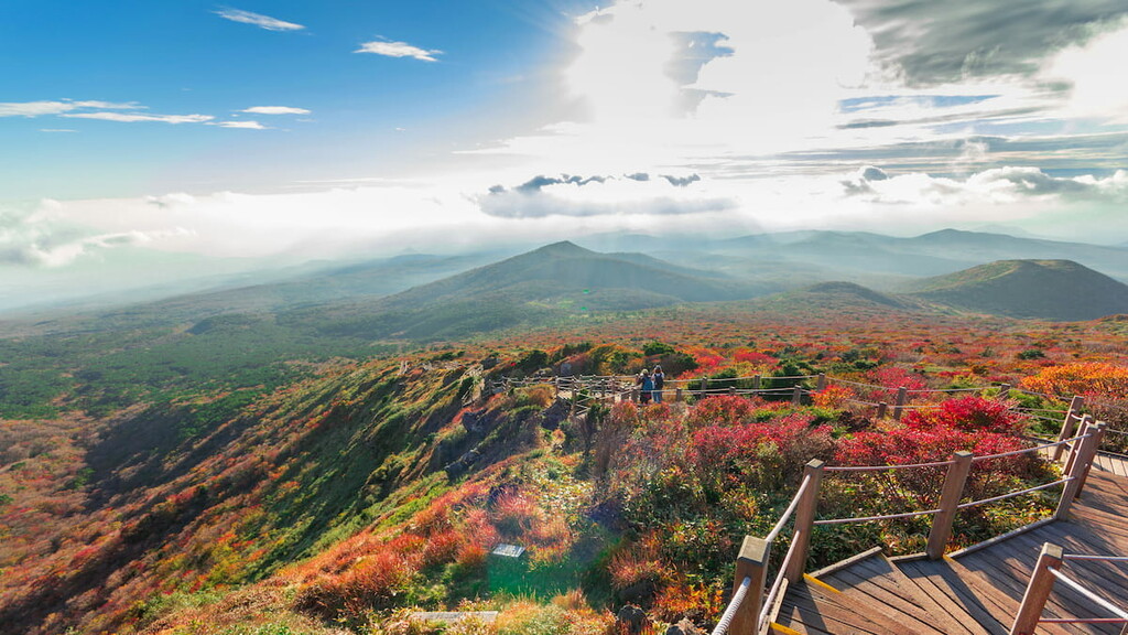
South Korea has a complex and varied geologic history. The country is home to some spectacularly ancient rocks, some of which date back as far as the Archean eon, which took place approximately 4 to 2.5 billion years ago.
Much of South Korea is dominated by two major metamorphic massifs and overlying sedimentary strata with occasional volcanic deposits. Within the country, there are also two major mountain ranges: the Taebaek Mountains (Taebaek Sanmaek/태백산맥) and the Sobaek Mountains (Sobaek Sanmaek/소백산맥).
The Taebaek Mountains (Taebaek Sanmaek/태백산맥) are one of the largest mountain ranges on the Korean Peninsula. It contains 2,048 named mountains that run along the eastern shore of the Peninsula, the highest and most prominent of which is Daecheongbong.
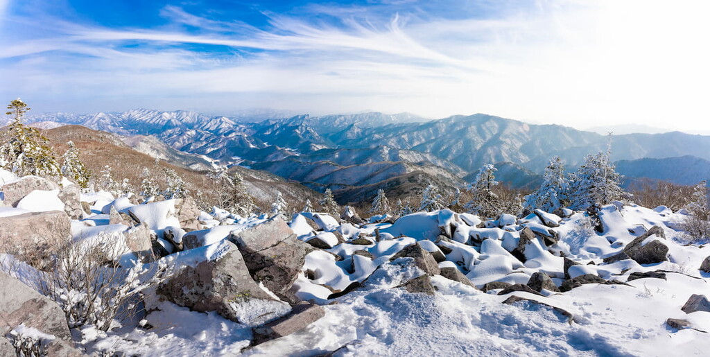
Within the Korean Peninsula, the Taebaek Mountains are known for their prominence and lofty height. The range comprises the bulk of the topographic spine of the region, dominating the landscape—particularly when compared to the relatively low-lying regions of the west.
Major peaks include Daecheongbong, Gyebangsan, Gajisan, and Birobong.
Extending westward from the Taebaek Mountains, the Sobaek Mountains (Sobaek Sanmaek/소백산맥) are a smaller collection of peaks that’s located in the west-central part of the country. The range contains 1,572 named mountains, the highest and most prominent of which is Cheonwangbong.
The Sobaek Mountains are home to a number of popular hiking areas and famous peaks. Arguably the best known of the peaks in the range include Cheonwangbong, Banyabong, Deokyusan Hyangjeokbong, and Mount Baek-un
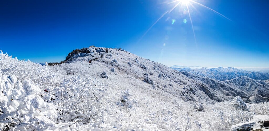
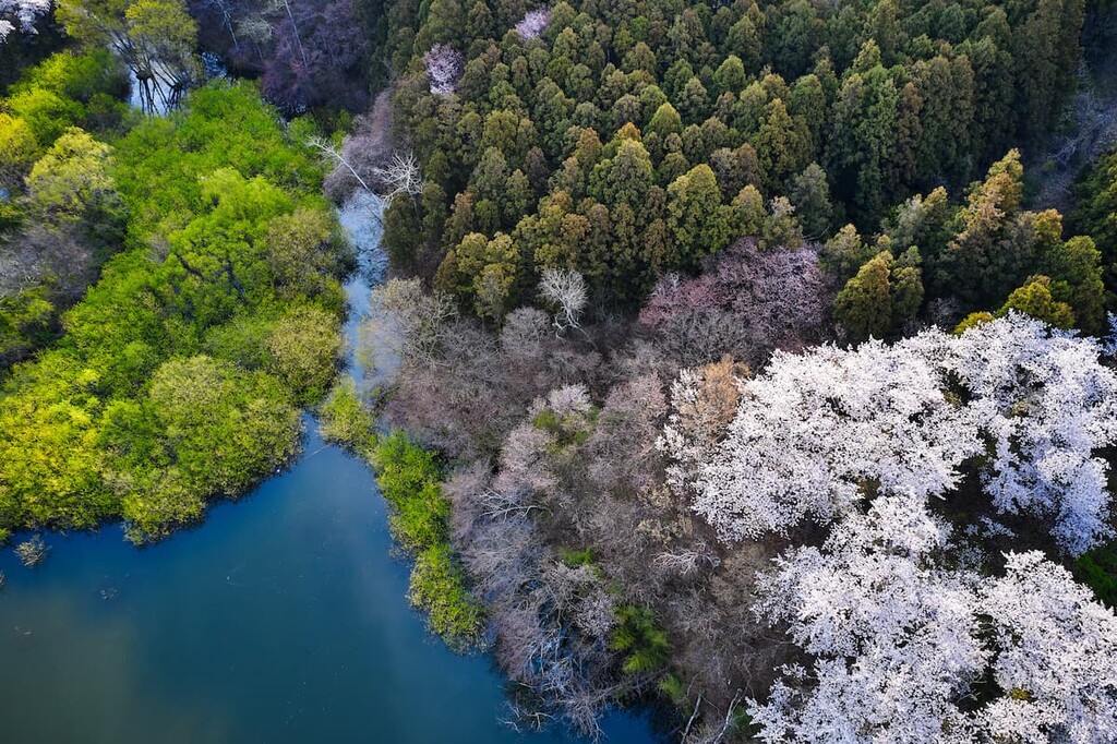
As one of the most densely populated countries on Earth, South Korea has undergone a rapid urbanization of its landscape since the mid twentieth century. Indeed, South Korea ranks relatively low in terms of its Forest Landscape Integrity Index as much of the country’s forests have seen some anthropogenic influence in recent years.
Nevertheless, the county does contain three primary ecoregions—the Southern Korea Evergreen Forests, the Central Korean Deciduous Forests, and the Manchurian Mixed Forests.
Within each of these forests, there are a number of dominant tree species, including various oaks like Japanese evergreen oak, Mongolian oak, Japanese black pine, Korean pine, Manchurian fir, and Siberian spruce.
Furthermore, South Korea is also home to a wide range of wildlife species. Some of the most notable include the red fox, Eurasian lynx, leopard cat, Korean fox, Mongolian wolf, Asiatic black bear, Siberian musk deer, wild boar, and the long-tailed goral.
However, it is worth noting that many of the country’s most famous mammals, including its national animal, the Siberian tiger, have been extirpated from the region. For example, the once common Amur leopard is now considered to be extirpated in South Korea, as is the dhole, the Manchurian sika deer, and the Ussuri brown bear.
The land that is now part of the country of South Korea has been inhabited by humans since time immemorial. Indeed, archeological evidence strongly suggests that the Korean Peninsula was inhabited during the Lower Paleolithic, indicating that archaic humans and anatomically modern humans have thrived in the region for at least the last few hundred thousand years.
Dynastic Korea began around the 2000s BCE with the establishment of the state of Gojoseon. This state was purportedly replaced by that of Gija Joseon in the 1200s BCE, though this fact is contested. Nevertheless, the Han dynasty from nearby China did establish control over much of the peninsula in the first century BCE until it was conquered by the Kingdom of Goguryeo.
Not long after the defeat of the Han dynasty, the Korean Peninsula came under the control of the Three Kingdoms of Korea (Goguryeo, Baekje and Silla). The Three Kingdoms controlled the peninsula for about 700 years until they were unified in the 900s CE by Wang Geon.
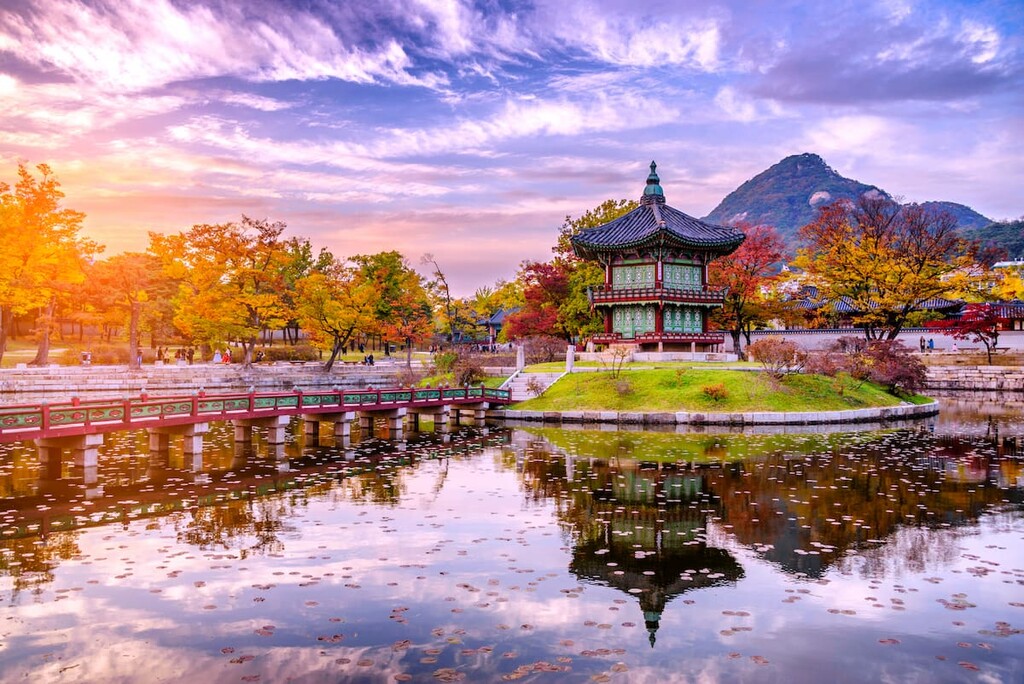
This new unified Korea was then called Joseon and it began its tenure in a period of relative peace with nearby China and other regional powers, such as the people of what is now Mongolia.
The next few hundred years of Korean history were marked by alternating periods of extended peace and neighborly strife. Eventually, by the 1910s, the Korean Peninsula was occupied by Japan, a reality that continued until the end of World War II, at which point Japan surrendered to the US and the then-Soviet Union.
After the end of World War II, the northern part of Korea was occupied by Soviet forces while US forces occupied the southern half of the country. There were multiple plans to attempt to reunify the Korean Peninsula, including during the 1943 Cairo Declaration, though this only exacerbated the issue at hand.
In 1948, the Korean Peninsula was divided into two political entities—South Korea and North Korea—each of which had its own political ideologies. This only led to more strife as the Soviet Union soon declared Kim Il-sung’s North Korean government as sovereign over the entire peninsula while the United Nations declared Syngman Rhee’ South Korean government as sovereign over the southern part of the peninsula.
By 1950, North Korea had invaded South Korea, leading to the start of the Korean War. Often considered to be one of the first major conflicts of the Cold War, the three year long Korean War saw North Korea be backed by the Soviet Union and China while South Korea was backed by the United States, the United Kingdom, Canada, and an assortment of other countries.
The Korean War, for all practical purposes, came to an end in 1953 when an armistice declared a demilitarized zone that delineated the border between the two countries. However, the armistice was never signed and the countries are technically still at war, though active armed conflict hasn’t occurred for well over half a century.
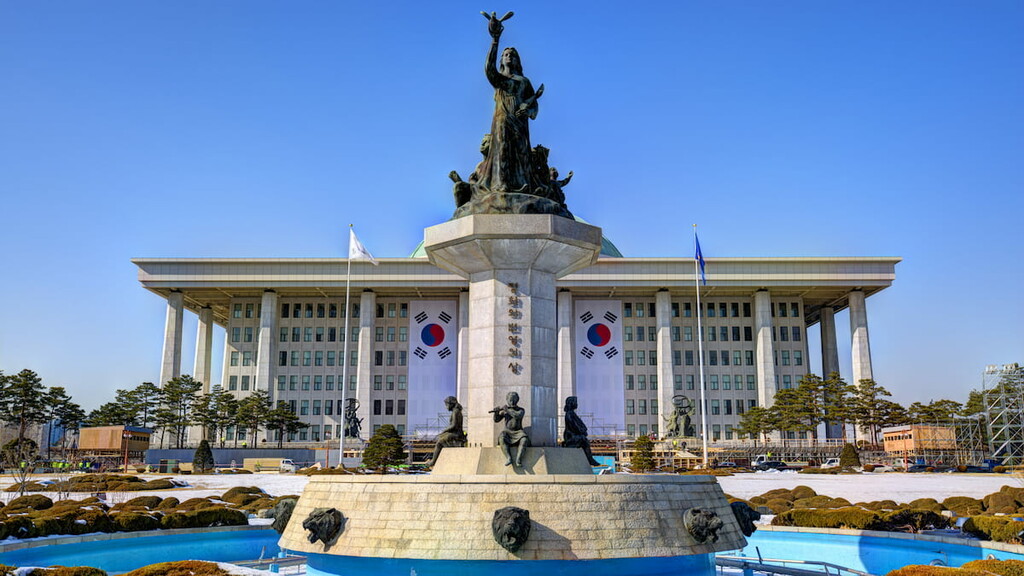
In the years since the end of the Korean War, South Korea saw a massive growth in its economy, though this was coupled with great political turmoil. The country eventually transitioned into a democratically-run government and it was invited to join the United Nations in 1991.
The twenty-first century has brought more economic growth to South Korea and increasing diplomatic relations with its northern cousins. The country has also become a popular tourist destination in recent years thanks to its newfound dedication to environmental conservation and recreation.
Thanks to its stunning mountainscapes and fantastic scenery, South Korea’s many national parks are a hiker’s paradise. Here are some of the best parks to check out in the country:
South Korea’s largest national park, Dadohaehaesang National Park (다도해해상국립공원) is a massive protected area located in the southern part of the country. It contains a total area of 2,321 sq. km (896 sq. mi) and 26 named mountains, the highest and most prominent of which is Soshin Bon.
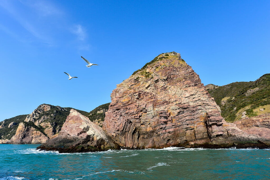
Technically considered to be a maritime national park, Dadohaehaesang contains seven districts, each of which has its own unique features and adventure opportunities.
Much of the park consists of islands that surround the southwestern part of the Korean Peninsula. It is known for being particularly biodiverse with nearly 2,000 different species of plants and animals calling it home.
One of South Korea’s most iconic parks, Hallasan National Park (한라산국립공원) is a mountainous region located on the island of Jeju. The park contains 44 named mountains, the highest and most prominent of which is Hallasan (Dongneung/한라산).
Interestingly enough, Hallasan is the only national park in the country that is not managed by the Korea National Park Service. Rather, the park is managed by the Jeju Special Self-Governing Province.
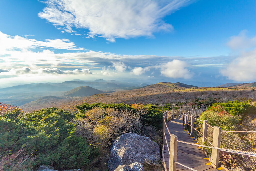
Despite this difference, Hallasan is one of the best hiking destinations in the country as it contains great mountain views and alpine areas. Plus, the park is a designated UNESCO World Biosphere Reserve, thanks to its exceptional biodiversity.
There are approximately half a dozen hiking trails in the park, each of which offers its own opportunities for adventure. Some of the trails, such as the Eoseungsaengak Trail (어승생악 탐방로) are just 1.3 km (0.8 mi) in length while others, such as the Seongpanak Trail (성판악 탐방로) are a bit longer at 9.6 km (6 mi) round trip.
Situated just outside the most densely populated part of South Korea, Bukhansan National Park (북한산국립공원) is an outdoor enthusiast’s retreat on the outskirts of Seoul. The park contains 53 named mountains, the highest and most prominent of which is Bukhansan (Baikundae).
Covering an area of approximately 80 square kilometers (31 sq. mi), Bukhansan isn’t exactly the largest of the parks in South Korea. But, due to its proximity to Seoul, the park is an exceptionally popular destination for hikers.
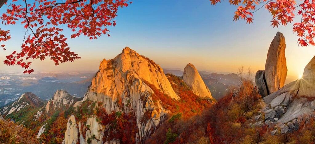
Indeed, the park contains a number of hiking trails, including Baegundae (백운대) and Dulle-gil (둘레길). Do note, however, that due to the popularity of the park, some of the trails are closed on a rotational basis. Doing so allows the park service to manage the impacts of over-use so that the trails stay in good working condition for years to come.
Considered to be one of the crown jewels of South Korea’s national park system, Jirisan National Park (지리산국립공원) was the country’s first national park. It contains 52 named mountains, the highest and most prominent of which is Cheonwangbong.
The park is situated in the south-central part of the country and it is home to some of the most biodiverse regions in South Korea. In fact, the park is home to more than 4,900 plant and animal species, including some relatively rare animals like the Asiatic black bear.
There are a number of trails that criss-cross the park, so finding hiking opportunities shouldn’t be a challenge. Within the park, visitors can choose from shorter day hikes, like the Jungsanri (Jangteomok) Course to the summit of Cheonwangbong, or they can opt for longer treks like the Jongju (Traversing) Course.
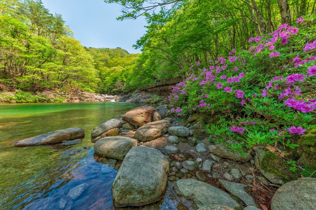
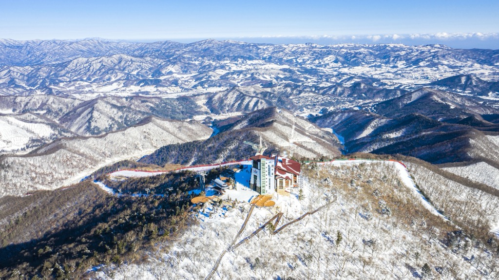
For skiing and snowboarding enthusiasts, there are more than 20 ski resorts in Korea, which are located throughout the country, but mainly in its northern part, where you will find most of the resorts, including also the largest of them. It is also one of the main areas for skiing in Asia.
The largest ski resort in Korea is YongPyong in PyeongChang county of the Gangwon-do province with more than 25 km (16 mi) of slopes and more than 15 ski lifts. The second largest ski resort in Korea, Muju Deogyusan in Jeollabuk-do province, is almost of the same size with more than 25 km (16 mi) of slopes but just a few fewer ski lifts.
Other major areas for skiing in Korea with more than 10 km (6 mi) of slopes and more than 5 ski lifts each include the following in descending order of size. Most of them are located in the same Gangwon-do province:
The main large area for skiing near Seoul, the capital of Korea, is Bears Town Ski Resort in Gyeonggi-do province with more than 15 km (9 mi) of slopes and more than 10 ski lifts.
Check the Korea ski resorts map in the World Mountain Lifts section of the site. It includes information about open ski lifts / slopes in Korea in real-time with opening dates and hours. There are also year-round cable cars, funiculars, cog railways, aerial tramways, and all other types of mountain lifts.
Looking for a place to stay in South Korea? Here are some of the best cities to check out:
The capital and most populous city in South Korea, Seoul (서울시) is a major metropolitan area located in the heart of Gyeonggi province. With a total population of more than 9.7 million people, Seoul is one of the world’s largest metropolitan economic areas alongside Los Angeles and New York City in the United States and Tokyo in Japan.

Seoul is best known as a hub for technology and commerce. It has also long been a center for culture in the region and it has hosted a number of important sporting events including the 1988 Summer Olympics, the 1986 Asian Games, and the 2002 FIFA World Cup.
The city is also home to a handful of important cultural and historic sites, including five UNESCO World Heritage Sites. Finally, Seoul has two international airports, so it’s a great place to fly into if you’re coming from further afield.
Located just outside of Seoul, Incheon (인천시) is South Korea’s third largest city. Although it was home to only 5,000 people in the late 1880s, Incheon has since become a sprawling metropolis of more than 3 million residents thanks to its establishment as a major port city.
These days, Incheon is a major center for commerce and industry. It is an important hub for manufacturing, logistics, and shipping. Additionally, due to Incheon’s proximity to Seoul, the city’s Incheon International Airport is also the primary airport for the country, supporting both of the country’s main airlines.
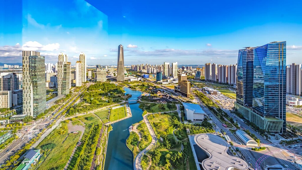
The second largest city in South Korea, Busan (부산시) is a community of some 3.4 million people located in the southeastern part of the country.
As a result of its coastal location, Busan, like Incheon, is a major port city. It plays an important role in the region’s logistics industry, though its economy is heavily supported by the region’s strong service and manufacturing industries. Interesting, Busan is also home to the world’s sixth largest port, so it’s a critical link in global shipping supply chains.

In addition to shipping and industry, Busan also has a strong cultural scene. It hosts a number of festivals and conferences each year, including a handful of past APEC meetings.
Situated in the southern part of the country, Daegu (대구시) is a city of some 2.5 million residents. During the mid-twentieth century, Daegu was a critically important industrial city for South Korea as it helped build the country’s rapidly developing economy.
Nowadays, Daegu is still a major manufacturing and industrial city, though it has also since become an important hub for fashion in South Korea. The city also has a number of important cultural sites, including a handful of large Buddhist temples and monuments.

Explore South Korea with the PeakVisor 3D Map and identify its summits.


