Scan the QR code and open PeakVisor on your phone
Adventurers and nature lovers will adore Killarney National Park. Killarney National Park is one of Ireland's most popular hiking destinations thanks to its serene loughs, verdant forests, and panoramas of the tallest peaks in the country.
Located in Ireland's most southwesterly county, County Kerry, Killarney National Park is the oldest national park in Ireland, dating back to 1932. The park was formed when Senator Arthur Vincent donated the Muckross Estate and the surrounding land to the Irish Free State. You can reach Killarney National Park by following the N71 from Killarney or the N22 from Tralee.
The park is positioned just 3 km southwest of Killarney and stretches across 26,000 acres of varied Irish countryside. From waterfalls and woodlands, there's plenty of remarkable sights to discover at Killarney National Park. As well as having a breathtaking landscape, Killarney National Park is home to some rare and intriguing fauna, including Ireland's only population of wild red deer.
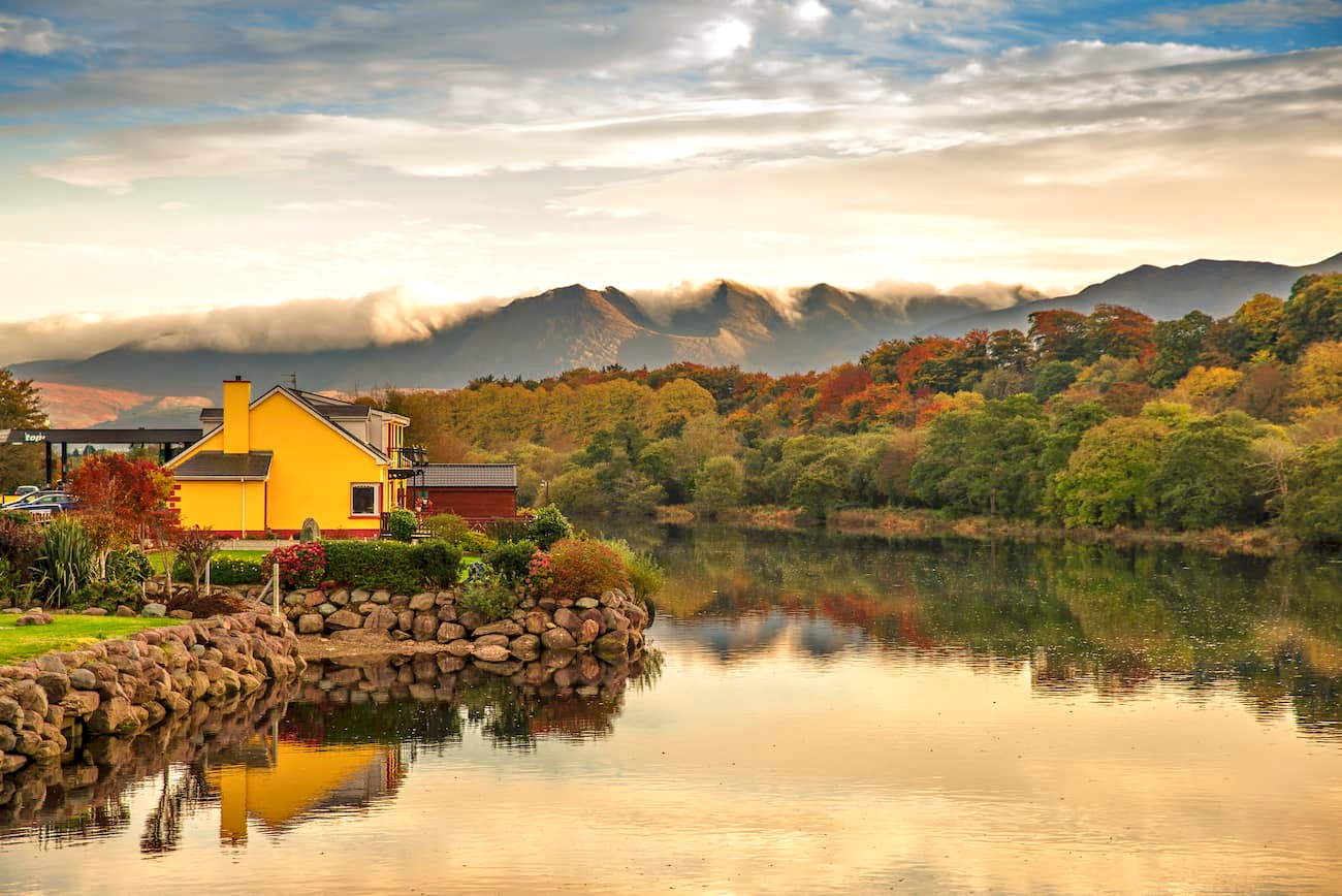
One of Killarney National Park's main attractions is Muckross House. Perched on the shores of Muckross Lake, Muckross House is a 19th-century mansion filled with antique furniture, paintings, and Irish history. Muckross House is often considered the park's centerpiece and is a popular attraction for tourists who aren't looking to exert themselves on a hiking expedition.

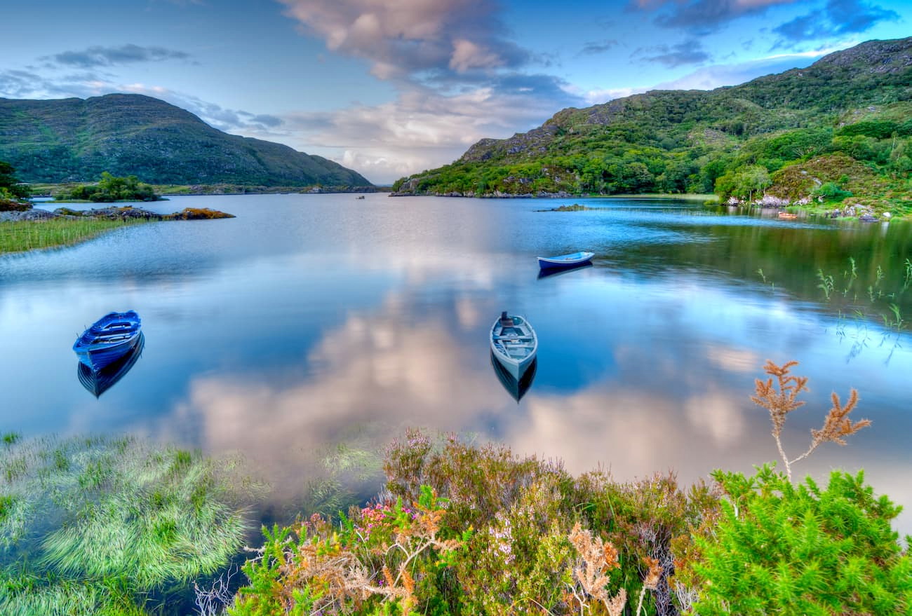
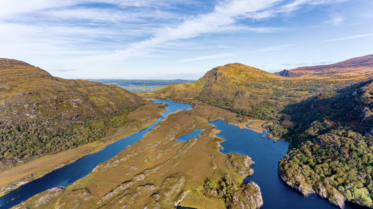
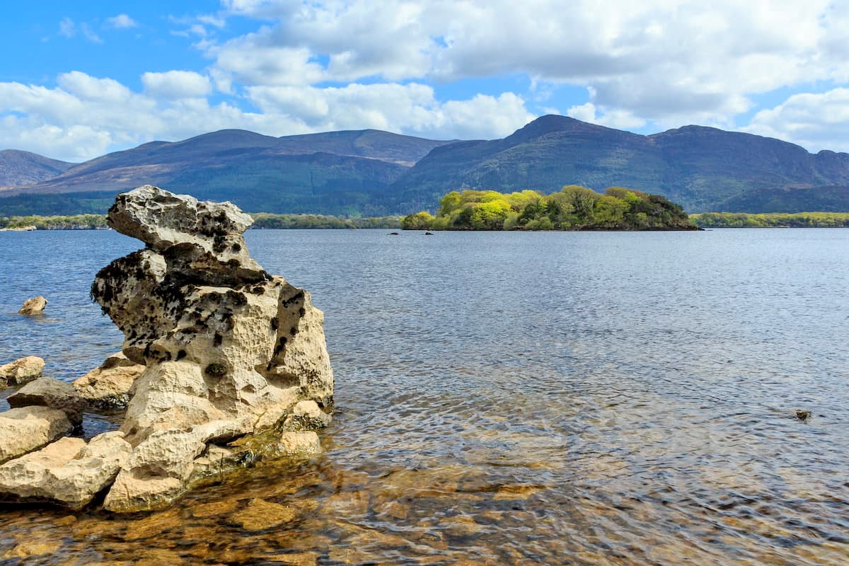
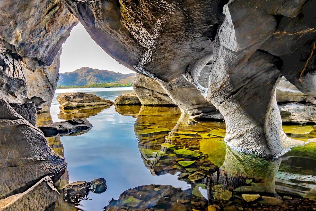
Another reason people visit Killarney National Park is to stroll along the park's world-renowned lakes. You'll find 3 lakes here: Lough Leane, Lough Muckross, and Upper Lake. These lakes are all interlinked and form around a quarter of the park. Lough Leane is the largest of the three, with an area of 4,700 acres. Lough Leane is a favorite among tourists due to an abundance of lake islands, making it ideal for boat tours.
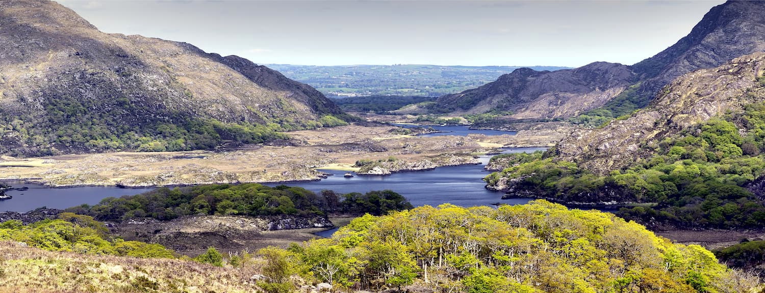
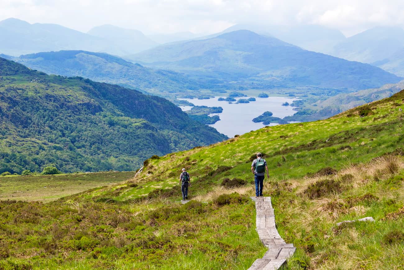
Hikers and mountain climbers flock to Killarney National Park to scale the peaks of the sublime mountains. Killarney National Park boasts 3 different mountain ranges: the Purple Mountain Group, the Mangerton Mountain Group, and part of the Shehy Mountains.
The two highest mountains in Killarney National Park are Mangerton Mountain (837 m) and Purple Mountain (826 m). Both mountains are superb for mountain climbers looking for a challenge. These mountains also provide stunning views of the park's loughs and MacGillycuddy's Reeks.
If you're looking for a less challenging hike, plan a trek up one of the park's smaller peaks. Torc Mountain (525 m) is very popular with less experienced climbers as it features well-marked trails and no need for scrambling. Along your journey up Torc Mountain, you'll pass the scenic Torc Waterfall.
Torc Mountain is arguably the most popular mountain to hike in Killarney National Park, since it offers trails for skill levels. If you're looking for a moderately difficult hike, follow the blue and yellow trails along the Torc Loop. These trails run for 2.5 and 1.5 km respectively and ascend around 250 m up Torc Mountain.
These short trails start from the Torc Waterfall car park along the N71. To start the walk, follow the yellow or blue arrows through the woods to the tranquil Torc Waterfall. From here, you'll climb the steps up to the top of the falls to a junction—head right for the yellow trail and blue for the left. Follow either path to loop back down to the Torc Waterfall car park.
Anyone looking for a difficult hike should follow the trail to the top of the mountain. This hike is around 7.5 km in length and should take around two hours. You can start this walk from the Torc Waterfall car park. Leave the car park and head left along the Old Kenmare Road, and cross the bridge spanning the Owengarriff River. Instead of descending the mountain, head left through the woodlands. Once you exit the woods, you'll see signposts leading to the top of Torc Mountain.
One of the best long mountain treks in Killarney National Park is Mangerton Mountain Trail. This trail leads up Mangerton Mountain (837 m), the tallest mountain in Killarney National Park. The hike is around 9km and should take well-prepared hikers around 4 or 5 hours depending on conditions. To start this hike, head south from the car park at Gortagullane.
The Mangerton Mountain Trail is steep in places and requires some scrambling, especially near Lough Garagarry. The trail up Mangerton is well worn and should be relatively easy to follow in good weather but can be tricky in fog. Regardless, ensure you map out your route beforehand. This popular trail will lead past many beautiful loughs, including the Devil's Punchbowl. You'll also pass by the historic Tooreencormick Battlefield Site on your way up to the peak.
To descend from Mangerton Mountain, go east and then southeast towards Horses Glen. This descent is steep and requires scrambling, so use caution. Once you pass Lough Garagarry, head northwest to rejoin the path you took on the way up.
Mangerton Mountain is often overlooked due to its somewhat boggy conditions and its position near the popular Torc Mountain. However, in some ways Mangerton is a better climb than nearby Torc, as it provides better views of MacGillycuddy's Reeks and panoramas of the mountain's loughs, including the Devil's Punchbowl, Lough Leane, and Lough Garagarry. Mangerton is also the only mountain visible from the center of Killarney.
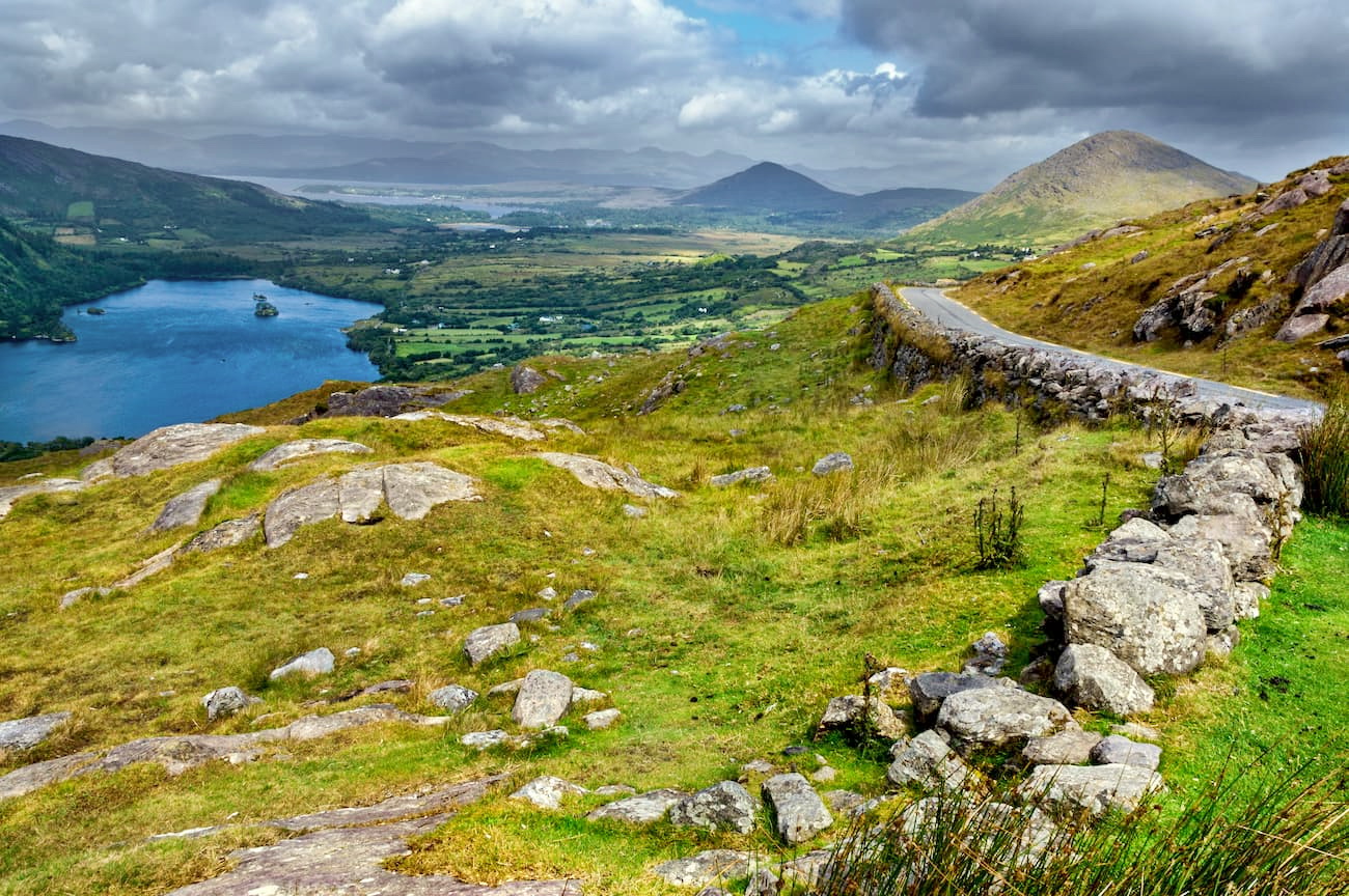
Another popular hike is to the summit of Purple Mountain. At 826 m, Purple Mountain is the Killarney National Park's second-highest peak. The Purple Mountain Loop is around 15 km and should take around 6 hours to complete. To start this trek, head to Kate Kearney's Cottage located within the breathtaking Gap of Dunloe.
Head south from the restaurant, passing by five charming loughs, including Black Lough and Auger Lake. Once you reach the Gap of Dunloe's head, you should see the Purple Mountain Group to the northwest. Travel along the beaten path towards Glas Lough, which is around 472 m high. Once you've taken in the lough's beauty, head northeast towards the Purple Mountain's lower peak at 757 m. Upon reaching this peak, follow the track to the right, which will lead to the summit of Purple Mountain.
From atop Purple Mountain, you'll have views of Carrauntoohil (1039 m), Beenkeragh (1,010 m), and Caher (1,001 m), the three highest mountains in Ireland. To begin your descent down Purple Mountain, you'll head back towards the lower peak, along a ridge on Tomies Mountain. If you decide to head down the mountain via Tomies Mountain, use caution due to a large amount of loose scree. This route will take you back to the Gap of Dunloe path.
If you'd prefer a leisurely stroll through Killarney National Park, consider Knockreer Circular Walk. This route is 5 km, takes around 2 hours, and has an elevation of 45 m. You can start this walk from Killarney House and Garden, by walking down the path away from the house and through a large gateway.
When you reach a bridge, head left and follow the River Deenagh. Eventually, you'll reach a second bridge, head over the river. You should then turn left at the junction shortly after the bridge. You'll know you're on the right path when you pass over a cattle grid and enter open parkland. Red deer are common here, making this a great spot for a photo. Just make sure to avoid the deer during September and October as this is their rutting season.
Next, the path leads up a hill, which affords gorgeous vistas of MacGillycuddy's Reeks and Lough Leane. Following the trail, you'll pass near Knockreer House and the quaint Deenagh Cottage. Continue straight on, and you'll cross back over the River Deenagh back to your starting point.
The Muckross Lakeside Walk is an excellent way to see Lough Muckross and Lough Leane. This pathway is around 5 km long and should take about an hour and a half. To start the walk, head through the main gate to Killarney National Park. To the right near a lodge is the lakeside trail's starting point.
The Muckross Lakeside Walk is easy to follow and is well signposted. The trail runs along the Muckross Peninsula, which divides Lough Leane and Lough Muckross. This route technically ends at Muckross House; however, you can keep going around Muckross Lake and explore the ruins of Muckross Abbey. Further around the lake on the west side is Dinis Cottage, an idyllic place to stop if you fancy a cup of tea and a quick snack.
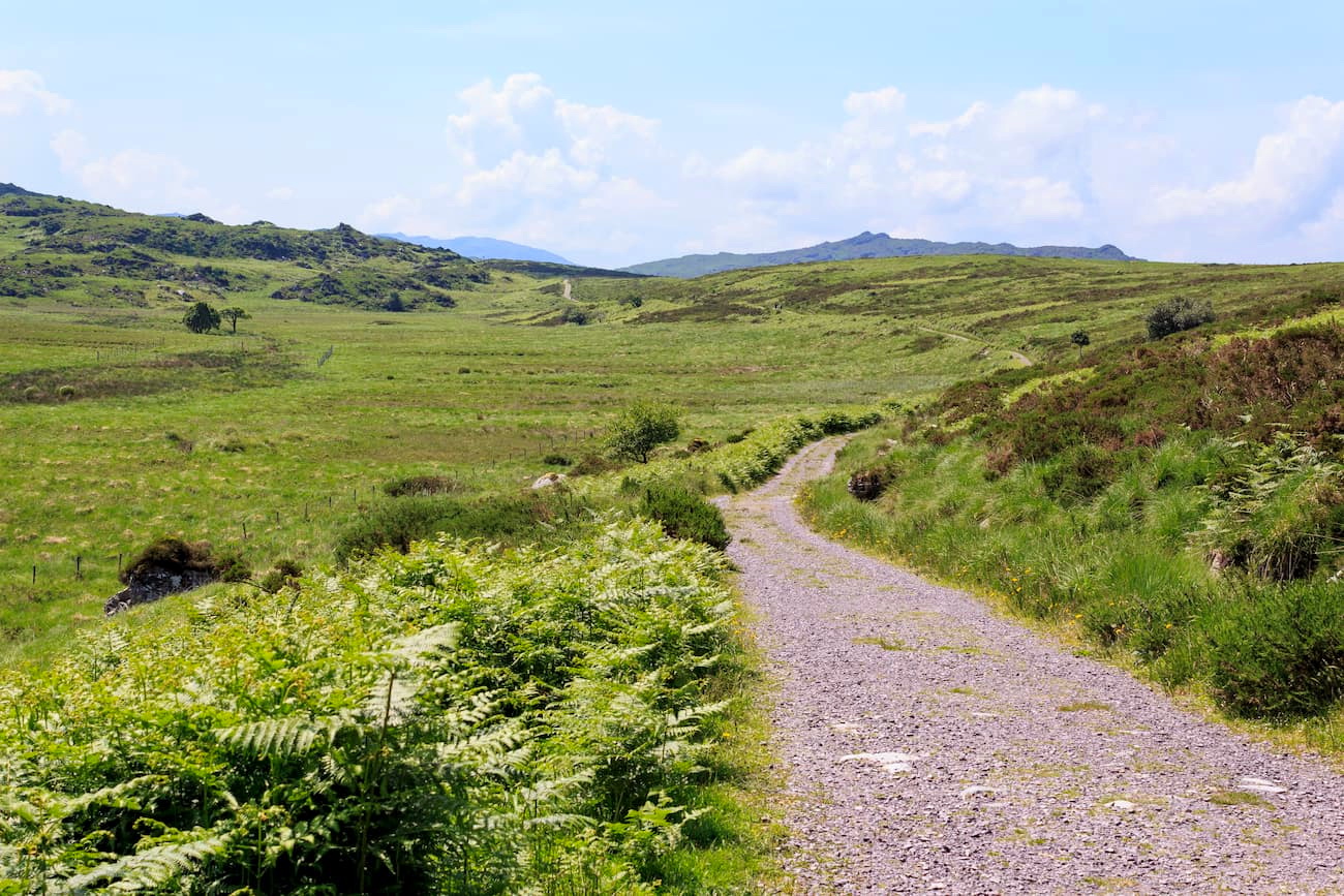
The Old Kenmare Road is a classic walking trail in Killarney National Park. The trail weaves through the park's uplands and is part of the lengthy Kerry Way walking trail system. This walk is around 7 km, takes roughly 2 hours, and ascends to 245 m.
To complete this journey, follow the Old Kenmare Road from Muckross House to the upper Torc car park. From here, you'll traverse the Owengariff River and turn left. The route here varies, and you can take a shorter or longer trail depending on your walking preferences. You'll have to hop across stepping stones and through potentially muddy and boggy areas along the way.
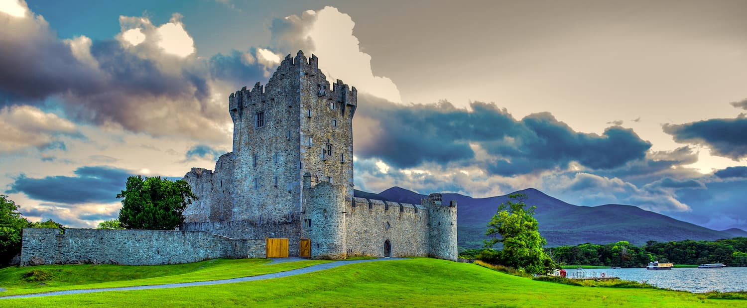
Once you're descending the path, you'll come back to the paved road. From here, you have several options. You can either continue to Kenmare, which is around 10 km away, or return to your starting by turning right. If you turn right, you'll find Derrycunnihy Church. You can walk along Mass Path here and catch the boat to Ross Castle.
Killarney is the perfect place to stay for hikers looking to discover the best of Killarney National Park. Killarney is only 3 km from the park entrance, meaning it's only a short walk to the mountains from the town's main street. While there isn't much to do around town, Killarney is home to several charming restaurants, pubs, and hotels, making it ideal for a relaxing getaway.
Killarney also offers access to other nearby mountains, with MacGillcuddy's Reeks around 20 km to the west. Killarney can be reached via the N22 from Cork. Killarney is also close to Kerry Airport, which is 16 km north of town.
Tralee is the largest town in County Kerry. While in Tralee, you can learn about Kerry's history at the Kerry County Museum, or explore the local Tralee Bay Wetlands Eco and Activity Park. If you are planning on staying in Tralee, consider visiting during the world-famous Rose of Tralee Festival every August. Just make sure you book a hotel early, as this is Tralee's busiest time of year.
Tralee is situated about 40 km north of Killarney National Park, meaning it affords easy access to this beautiful area. You can reach the park by following the N22 out of town. Tralee is also only 19 km from Kerry Airport, in case you're visiting from abroad.
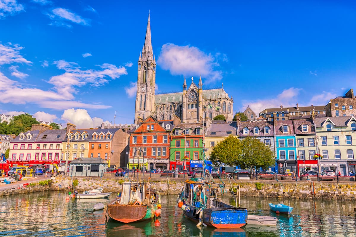
While not as close to Killarney National Park as some other settlements, Cork is great if you're looking for activities around town. Cork is the second-largest city in Ireland, with a population of over 200,000. During your visit, make sure you kiss the Blarney Stone, peruse the English Market, and take in the views from Blackrock Castle.
Despite being in another county, Cork is still only 90 km from Killarney National Park, so the drive shouldn't take you more than an hour and a half. All you need to do is follow the N22 west from the city center. Cork is also home to Cork International Airport, which has flights to destinations around the world.
Travelers looking for a taste of country life will love Killorglin. Killorglin is a popular holiday resort, thanks to exceptional fishing opportunities, friendly locals, and the Puck Fair, which takes place every August. Every year, the townsfolk travel into the mountains to catch a goat to crown 'King Puck.' The celebration is accompanied by a festival which is popular with tourists. From parts of Killorglin, you'll be able to see the peak of Carrauntoohil.
Killorglin is situated just 24 km northwest of Killarney National Park. To reach the park, follow the N72. While Killorglin is reasonably remote, it can be reached via the Bus Éireann coach service from Killarney and Tralee.