
Scan the QR code and open PeakVisor on your phone
Jordan is home to 1,324 named mountains. The highest is Jabal Um Ad-dami at 1,854 m.
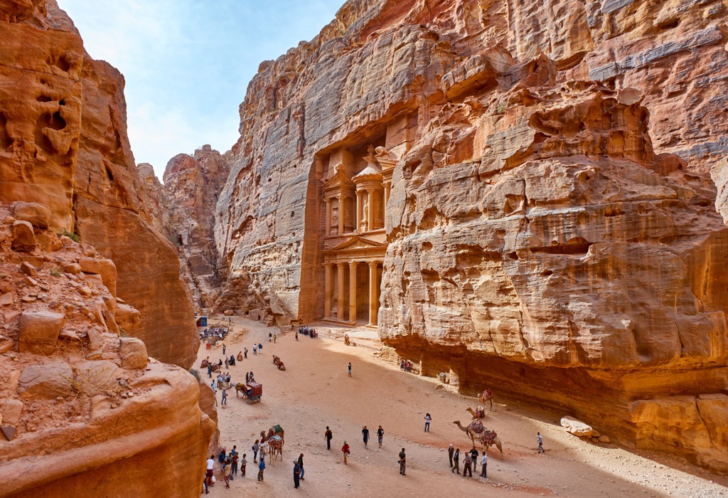
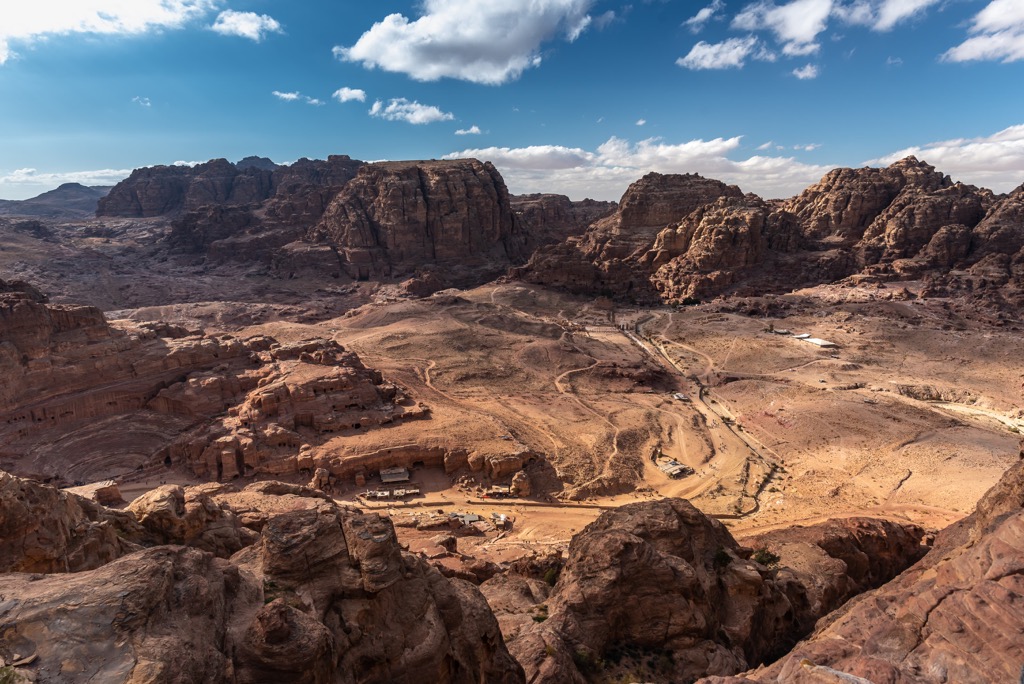
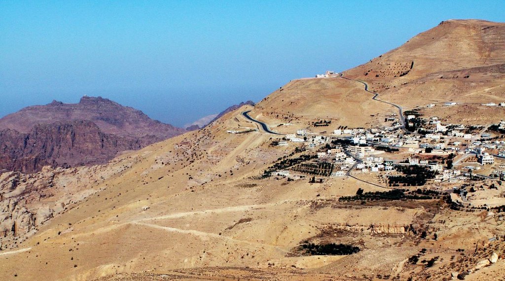
Jordan is one of the major countries in the Middle East in Western Asia and is among the most mountainous countries in the world with an average altitude of 920 m (3,018 ft) above sea level. The main feature of the mountains of Jordan is the stony desert of Wadi Rum which resemble the Mars landscapes with many mountains such as the sacred Jabal Al-Madbah, incredible rock formations such as the "Seven Pillars of Wisdom”, canyons such as Siq, and other natural features. But Jordan is best known for Petra, an entire small city carved into these sandstone mountains. Another peak with the similar name, Jabal Um Ad-dami (1,854 m / 6,983 ft), is the highest point of Wadi Rum and the entire country. The most prominent mountain is Jibal al Marajim (1,753 m / 5,692 ft). In total there are 1324 named mountains in Jordan.

Yes. Jordan has 1,324 named mountains. The highest is Jabal Um Ad-dami at 1,854 m.
The highest mountain in Jordan is Jabal Um Ad-dami, at 1,854 m.
Jordan has 1,324 named mountains.


