
Curated by Kitzbüheler Alpen Tourismus
Weißbach bei Lofer
A mountaineering village of four hundred people on the Saalach between the Loferer and Leoganger Steinberge, with the Seisenbergklamm gorge and the Hirschbichl crossing into Berchtesgaden.
- 2Highlights
- 6Routes
Highlights
9 from neighbouring places
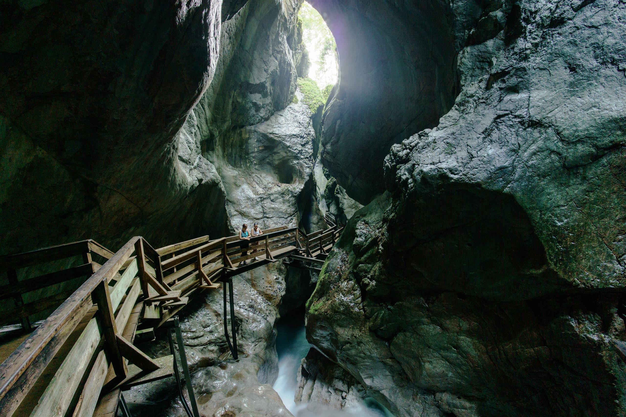
Naturdenkmal Seisenbergklamm
A protected gorge at Weißbach bei Lofer, where wooden walkways follow the Weißbach stream through a deep, water-carved rock passage.
Zweite Dimension
A sport climbing crag known as the Second Dimension, one of the climbing sites in the eastern part of the Kitzbüheler Alpen region.
Golfclub Gut Brandlhof
5.8 km away, in Saalfelden am Steinernen Meer
A golf course at the Brandlhof estate near Saalfelden, laid out along the Saalach river beneath the Steinernes Meer.
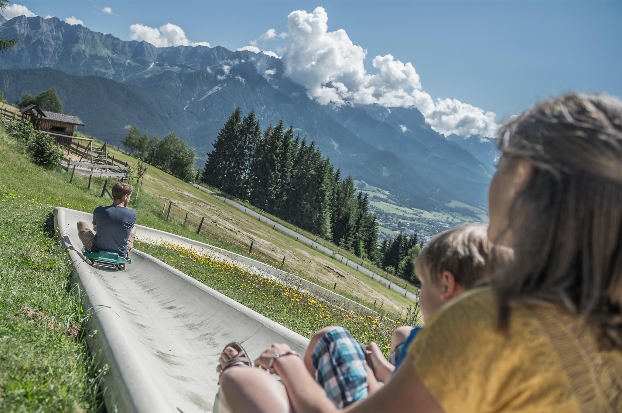
Sommerrodelbahn am Biberg
10.8 km away, in Saalfelden am Steinernen Meer
A summer toboggan run on the Biberg near Saalfelden, close to Maria Alm, descending through meadows and woods on a rail track.
Ruine am Paß Strub
10.8 km away, in Lofer
Remains of old defensive works at the Pass Strub near Waidring, a border crossing fought over in the Napoleonic period.
Riemannhaus 2.177 m
12.2 km away, in Maria Alm am Steinernen Meer
An alpine club refuge at 2,177 m on the rim of the Steinernes Meer plateau above Maria Alm, reached by a steep marked ascent from the valley.
Pfarrkirche Maria Schnee
13.5 km away, in Hochfilzen
The parish church of Hochfilzen in the Pillersee region, dedicated to Our Lady of the Snows, a fitting patron for a village at 959 m.
Fort Kniepass
13.7 km away, in Unken
A historic fortification at the Kniepass narrows near Unken in the Saalach valley, guarding the old route between Salzburg and Bavaria, now a small museum.
Gasthof Kronreith
14.1 km away, in Maria Alm am Steinernen Meer
A mountain inn above Maria Alm with a restaurant of Austrian and regional dishes, set on the sunny slope north of the village.
Gasthof Kronreith 1.000 m
14.1 km away, in Maria Alm am Steinernen Meer
Gasthof Kronreith at 1,000 m above Maria Alm, a mountain inn and restaurant looking across towards the Steinernes Meer.
Berggasthof Hinterreit 900 m
15 km away, in Maria Alm am Steinernen Meer
A mountain inn at 900 m near Maria Alm in the Hinterreit area, with a restaurant serving Austrian and regional classics.
 Historic site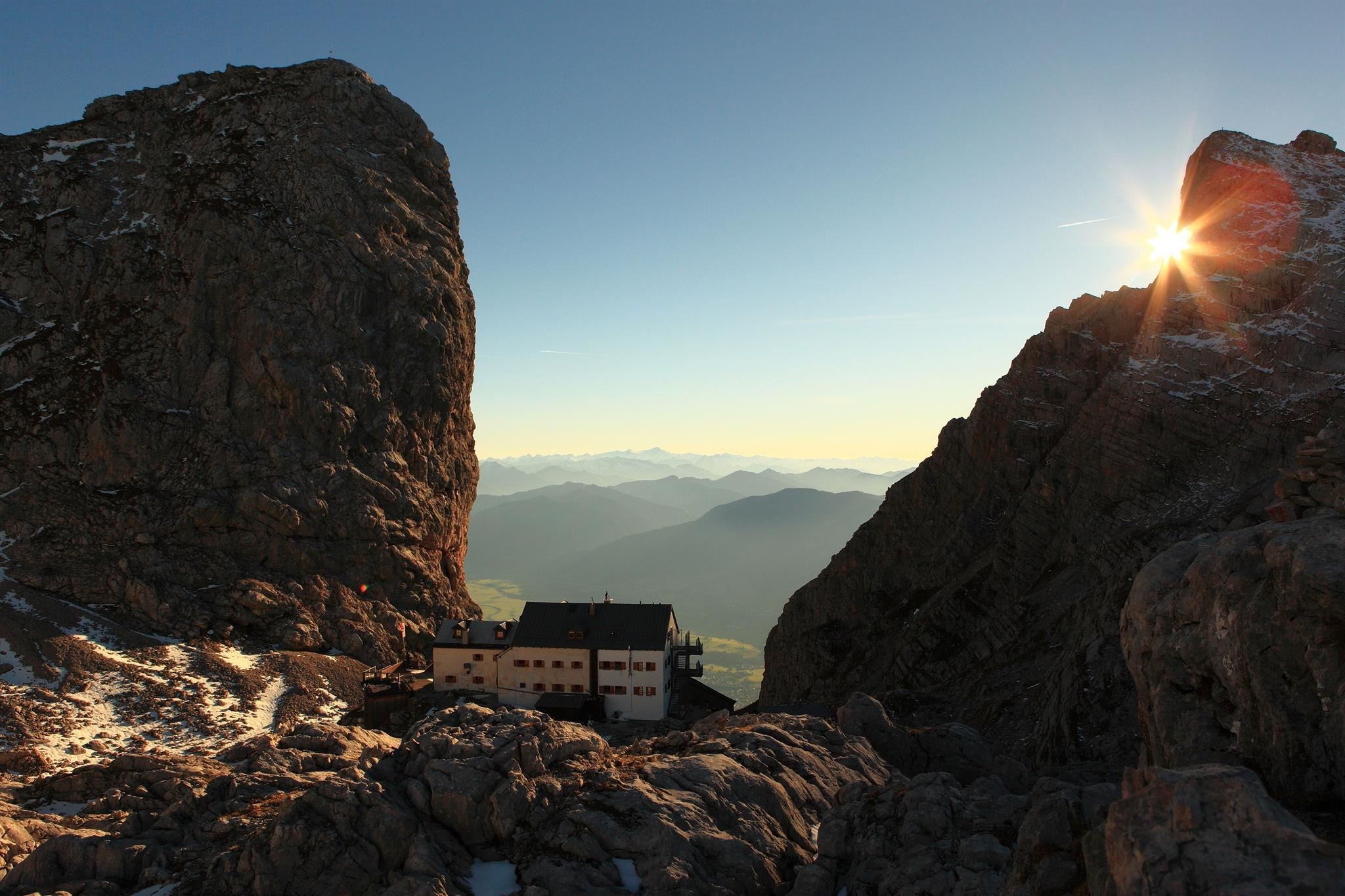
 Mountain hut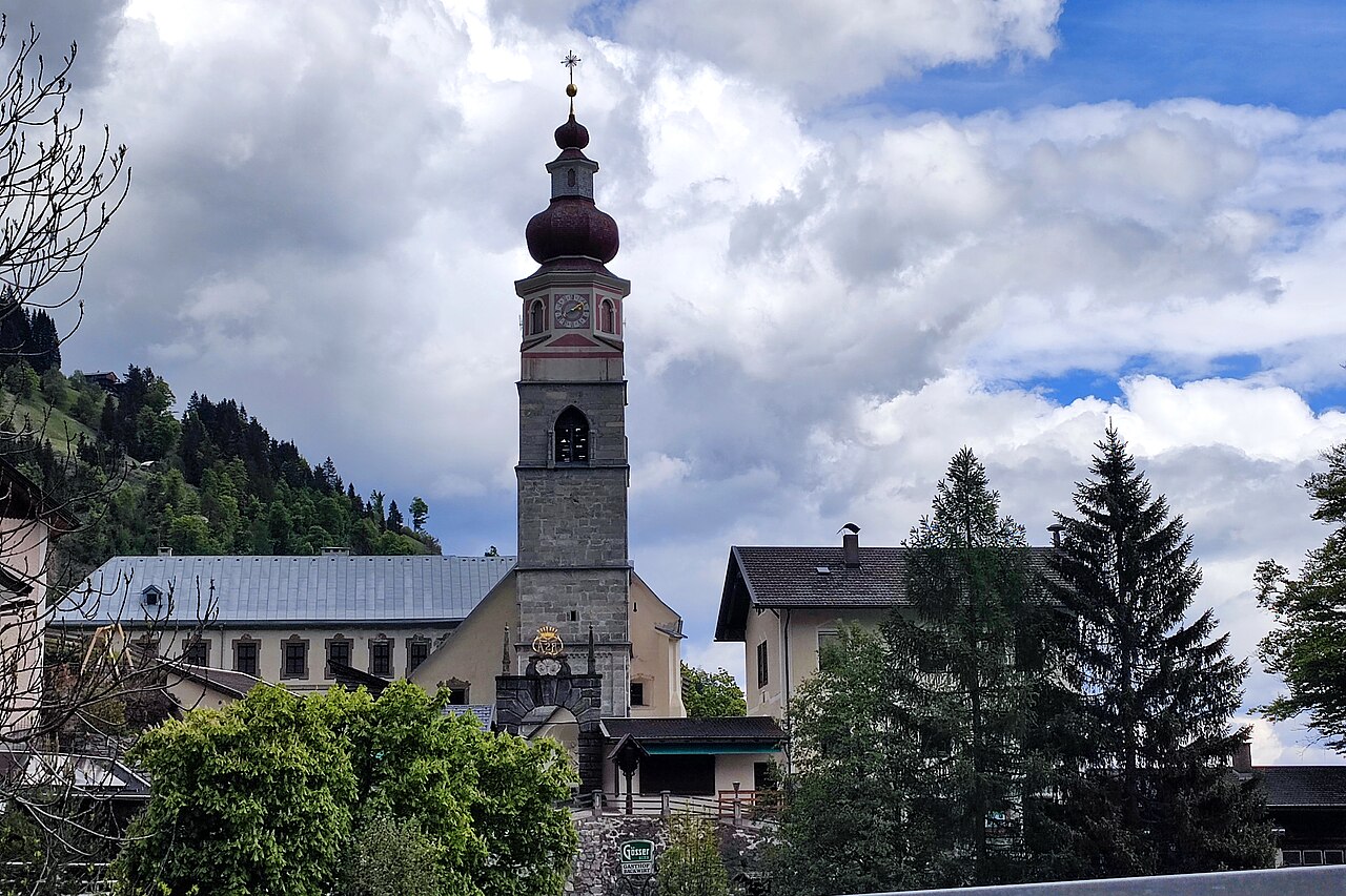
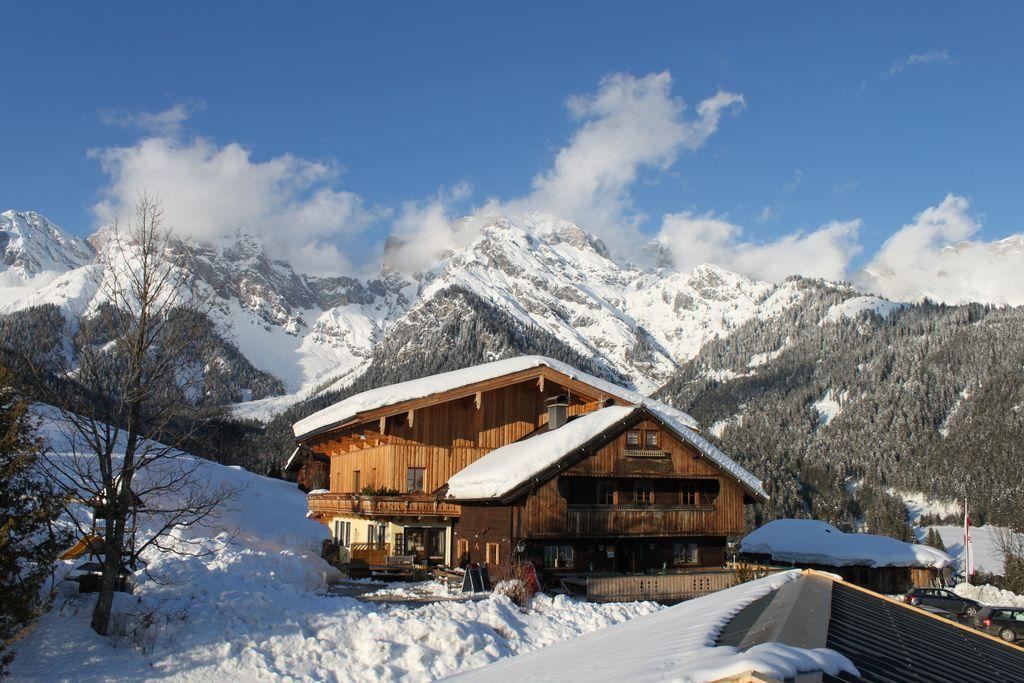
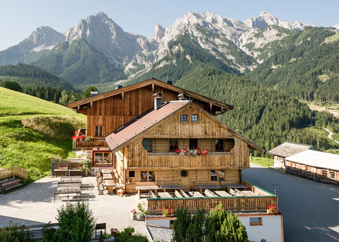
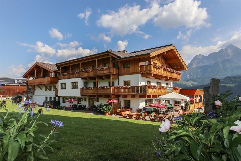
Nothing of this kind in Weißbach bei Lofer.
Routes
14 from neighbouring places
Weisse Gams (Weißbach)
A via ferrata starting from the valley floor near the centre of Weißbach: steep pitches, traverses and slabs up a wooded rock band, grassy in places.
- 1.7 km
- Distance
- 143 m
- Ascent
- 1 h 9 min
- Duration
Zahme Gams (Weißbach)
A short beginners' via ferrata in the alpine club climbing garden at Weißbach, well fitted with rungs and cable and suitable for children.
- 1.1 km
- Distance
- 97 m
- Ascent
- 47 min
- Duration
Wilde Gams (Weißbach)
An extreme via ferrata at Weißbach with individual pitches up to E/F; it demands real strength and experience, though an escape is possible halfway up.
- 2.6 km
- Distance
- 165 m
- Ascent
- 1 h 26 min
- Duration
Waidring - St. Martin bei Lofer - Goldener Zweig Runde
A long circuit from the Pillerseetal over Pass Strub, passing the Seisenbergklamm gorge and the Lamprechtshöhle before the climb back.
- 46.2 km
- Distance
- 1 019 m
- Ascent
- 5 h 4 min
- Duration
- 13
- Check-ins
Pillerseerunde
A big road loop over Pass Grießen and Pass Strub, passing the Lamprechtshöhle in the Saalach valley and a lakeside stop at Blattl.
- 100.0 km
- Distance
- 1 191 m
- Ascent
- 9 h 59 min
- Duration
- 21
- Check-ins
Radtour von Zell am See - Lofer
A valley ride from Zell am See north past Saalfelden to Lofer, by way of Sankt Martin and the Gasthaus at the Lamprechtshöhle.
- 42.4 km
- Distance
- 401 m
- Ascent
- 4 h 8 min
- Duration
- 6
- Check-ins
Leoganger Süd (Mitterspitze)
5.4 km away, in Leogang
The harder south-wall line on the Fahnenköpfl, reached from the Passauer Hütte via the Hochtor; most parties descend by the easier north-side route.
- 1.3 km
- Distance
- 360 m
- Ascent
- 2 h 24 min
- Duration
- 28
- Check-ins
Hochfilzen - Römer Sattel - Vorderkaser
8.5 km away, in Sankt Martin bei Lofer
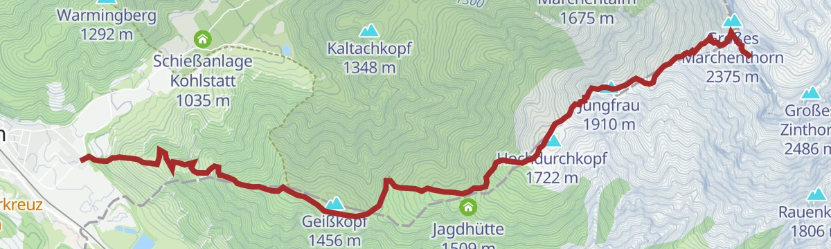
Point-to-point walk from Hochfilzen over the gentle Römersattel to the Jausenstation Vorderkaser near Sankt Martin bei Lofer, passing the Kohlstatt shooting range early on.
- 12.6 km
- Distance
- 270 m
- Ascent
- 3 h 38 min
- Duration
- 1
- Check-ins
Klettersteig Persailhorn Süd
9.4 km away, in Saalfelden am Steinernen Meer
A via ferrata threading the sunny south-west face of the Persailhorn, reached past the Peter-Wiechenthaler-Hütte, with 1,628 m of ascent in all.
- 6.4 km
- Distance
- 1 651 m
- Ascent
- 7 h 42 min
- Duration
- 53
- Check-ins
Grießner Hochbrett
10.1 km away, in Hochfilzen
Demanding climb from Hochfilzen into the Leoganger Steinberge, gaining over 1,500 m via the Grießner Rotschartl and collecting several rocky tops along the way.
- 7.7 km
- Distance
- 1 571 m
- Ascent
- 8 h 44 min
- Duration
- 2
- Check-ins
Grießner Hochmoor
12.3 km away, in Leogang
A short, level nature loop through the protected high moor near Pass Grießen at Hochfilzen, with the Seealm at hand for refreshment afterwards.
- 1.4 km
- Distance
- 21 m
- Ascent
- 22 min
- Duration
- 1
- Check-ins
262 | Grieseltal - Schießlingalm
12.4 km away, in St. Ulrich am Pillersee
A brief climb into the Grieseltal, following the track from the valley inn up to the Schießlingalm at 1,272 m.
- 4.2 km
- Distance
- 421 m
- Ascent
- 59 min
- Duration
- 2
- Check-ins
27 | Strubtalradweg
14.3 km away, in Waidring
An almost level cycle path along the Strub valley, running from Waidring towards the Salzburg border at Pass Strub.
- 7.6 km
- Distance
- 51 m
- Ascent
- 44 min
- Duration
Pistentour Buchensteinwand Route 3 Hoametzl Aufstieg
14.6 km away, in Hochfilzen
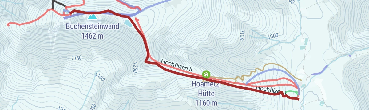
A marked ascent from Hochfilzen up the Buchensteinwand's slopes past the Kantalm, topping out near the Jakobskreuz, the walk-in summit cross with its viewing platforms.
- 2.8 km
- Distance
- 495 m
- Ascent
- 495 m
- Descent
- 1 h 38 min
- Duration
- 35
- Check-ins
Hochfilzen - Leogang - Schwarzleo
11.7 km away, in Leogang
A long forest-road tour on the Salzburg-Tirol border, passing the Griessensee and the Seealm and returning below the Asitz and Steinberg lifts.
- 45.7 km
- Distance
- 1 447 m
- Ascent
- 5 h 25 min
- Duration
- 11
- Check-ins
Leoganger Nord (Mitterspitze)
5.3 km away, in Leogang
A short north-side via ferrata on the Fahnenköpfl in the Leoganger Steinberge, based at the Passauer Hütte at 2,051 m after a three-hour walk-in from Leogang.
- 508 m
- Distance
- 120 m
- Ascent
- 49 min
- Duration
- 28
- Check-ins
Grießner Almen
12.8 km away, in Leogang
A pastoral half-day circuit from Hochfilzen over Pass Grießen and through the surrounding alm bowls, calling at the Tödlingalm beneath the Leoganger Steinberge.
- 12.2 km
- Distance
- 527 m
- Ascent
- 4 h 9 min
- Duration
Am Nuaracher Höhenweg
12.1 km away, in St. Ulrich am Pillersee
Serious ridge tour in the Loferer Steinberge from St. Ulrich: up to the Schmidt-Zabierow Hütte, over Großes Hinterhorn and Seehorn, down by the Wehrgrubenjoch — 2,300 m of climbing.
- 18.5 km
- Distance
- 2 343 m
- Ascent
- 13 h 50 min
- Duration
- 38
- Check-ins
Wander-WM 2026 | Donnerstag Schipflalm | kurz
12.2 km away, in Hochfilzen
Short Thursday course of the 2026 Wander-WM in Hochfilzen, rolling past the biathlon arena at Kohlstatt and the Pass Grießen watershed.
- 5.0 km
- Distance
- 82 m
- Ascent
- 1 h 22 min
- Duration
Waidring - Maria Kirchental
12.4 km away, in Waidring
A forest-road ride over Pass Strub into Salzburg, finishing at the pilgrimage church in the side valley above Sankt Martin.
- 14.6 km
- Distance
- 311 m
- Ascent
- 1 h 35 min
- Duration
- 5
- Check-ins


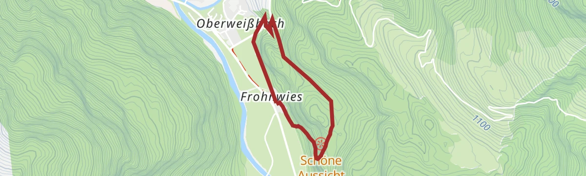






No routes of this kind in Weißbach bei Lofer yet.
Planning a trip to Weißbach bei Lofer?
Everything else Salzburg (state) has, in one place


Take Weißbach bei Lofer with you into the mountains
Every route on this page with 3D terrain, GPX navigation and offline maps — including the valleys with no signal.
Data sources
- Official website: kitzbueheler-alpen.com ↗
- Routes and highlights: Kitzbüheler Alpen Tourismus, Hochkönig Tourismus, Wilder Kaiser Tourismus, Kitzbühel Tourismus, Zell am See-Kaprun Tourismus
- Published as open data by the tourist boards named above.
- Region summary generated from the board's own material.
