











 Summit
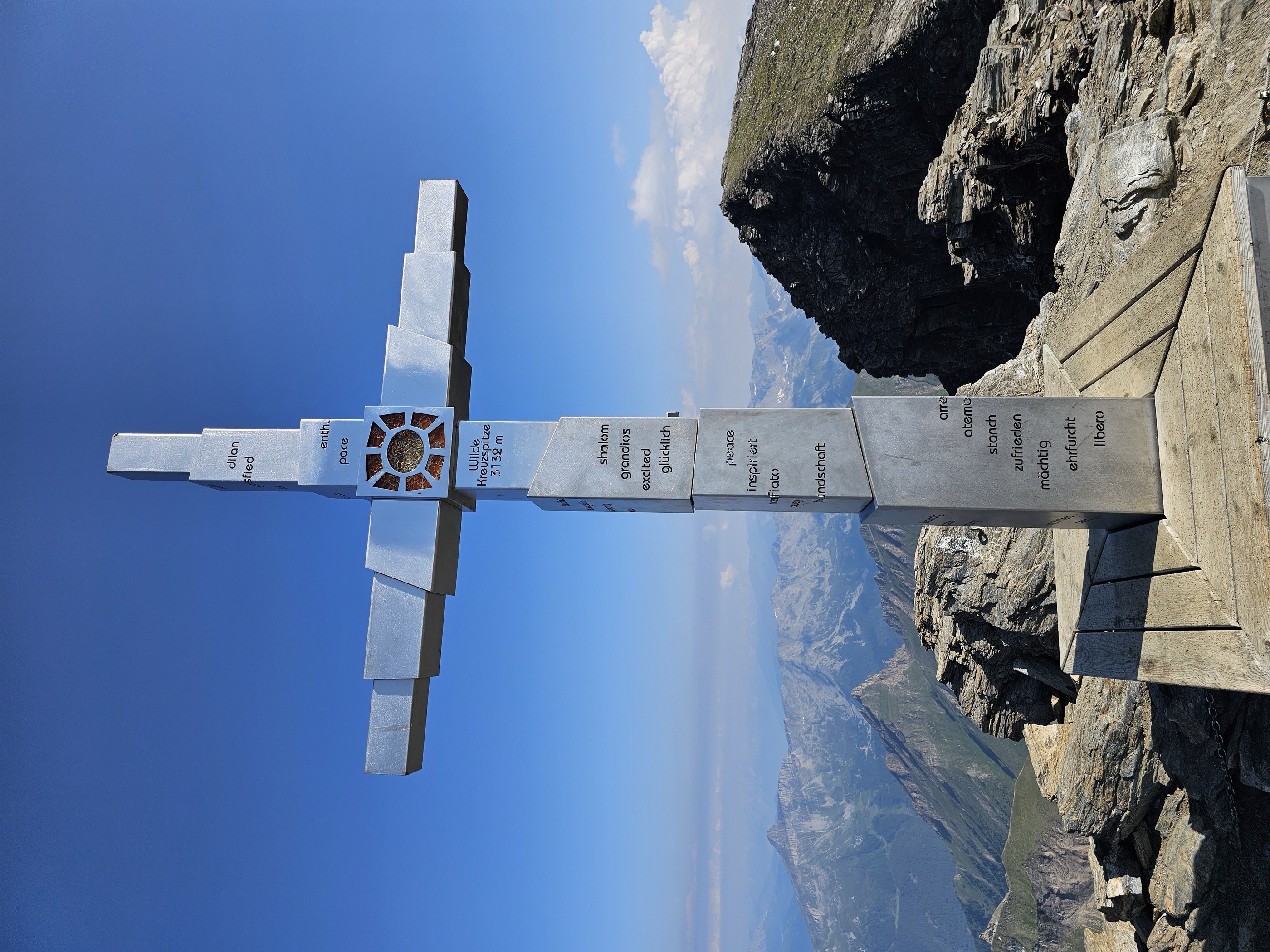
Wilde Kreuzspitze Südgipfel - Picco della Croce Cima Sud
via From Pfitsch to the Wilde Kreuzspitze summit
Curated by Sterzing
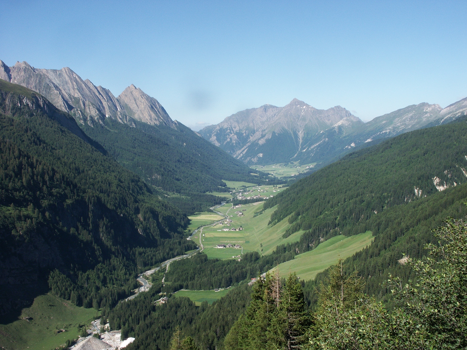
A long valley east of Vipiteno rising to the Hochfeiler, the highest peak of the Zillertal Alps.
Photo: Bernd Haynold · CC BY 2.5 licence
14 from neighbouring places
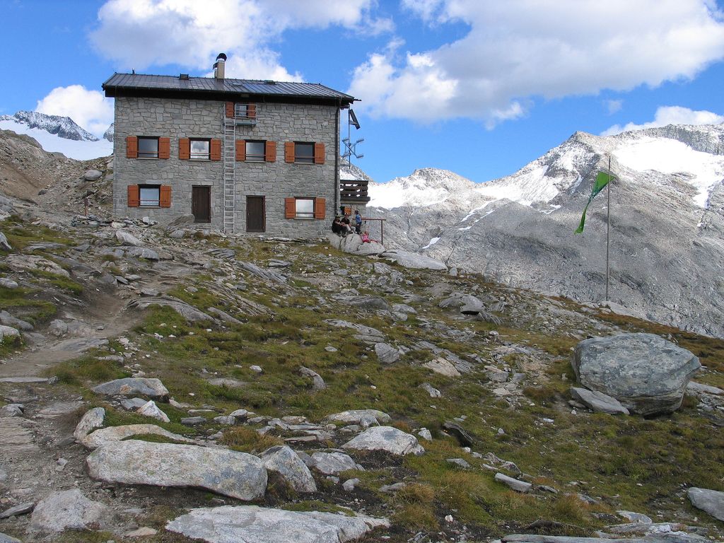
A refuge under the Gran Pilastro at the head of the Val di Vizze, the usual base for the highest summit of the Zillertal Alps.
5.3 km away, in Rio di Pusteria/Mühlbach
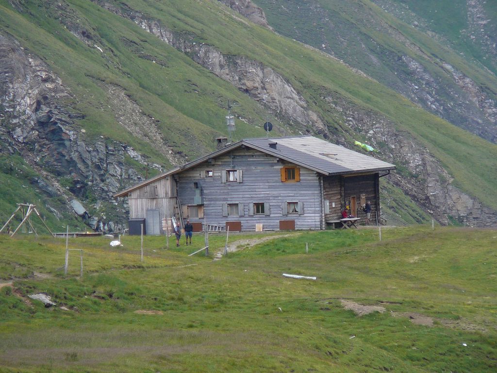
A refuge at the head of the Valles valley below the Cima di Pfunders, reached by the path that climbs past the Malga Fane.
5.9 km away, in Vandoies/Vintl
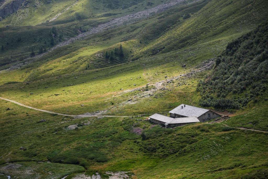
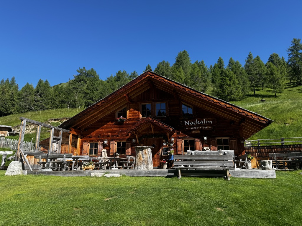
A dairy hut on the Weitenberg pastures above Vandoies, reached by forest road from the Val Pusteria.
8 km away, in Rio di Pusteria/Mühlbach
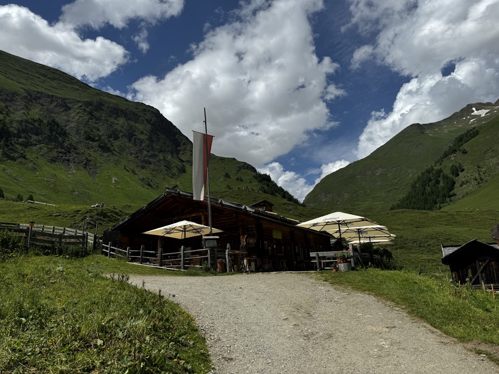
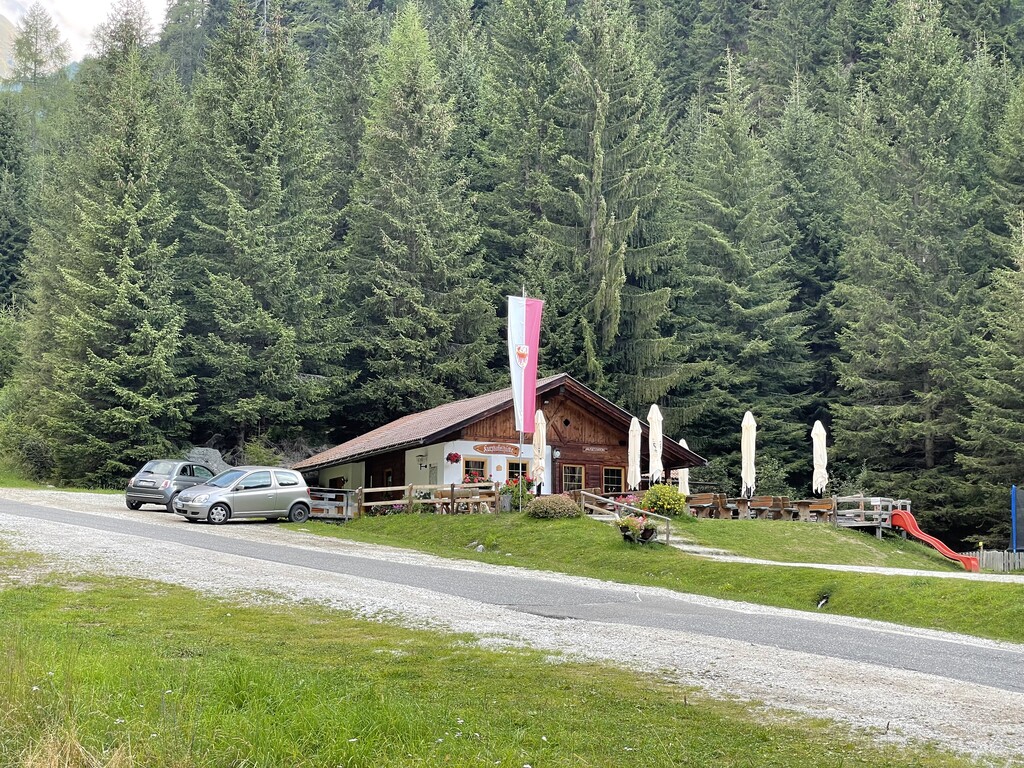
A dairy hut on the open pasture above Rio di Pusteria, on the Valles side of the valley.
8 km away, in Brennero/Brenner
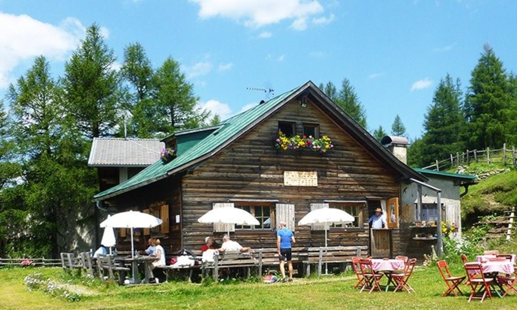
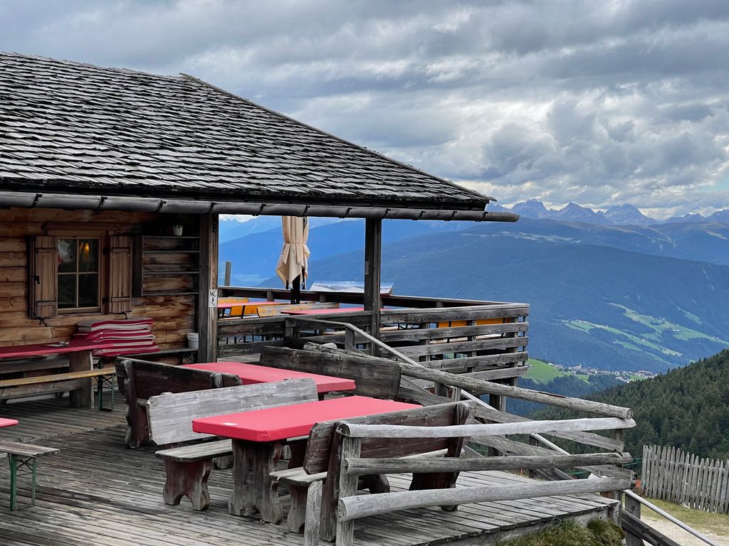
A mountain inn on the slopes of Monte Gallina, the Hühnerspiel, above Colle Isarco in the comune of Brennero.
8 km away, in Rio di Pusteria/Mühlbach
A pasture hut above Rio di Pusteria, on the walking paths of the Gitschberg-Jochtal side of the Val Pusteria.
8 km away, in Rio di Pusteria/Mühlbach
A pasture hut on the slopes above Rio di Pusteria, in the Valle di Valles.
8 km away, in Rio di Pusteria/Mühlbach
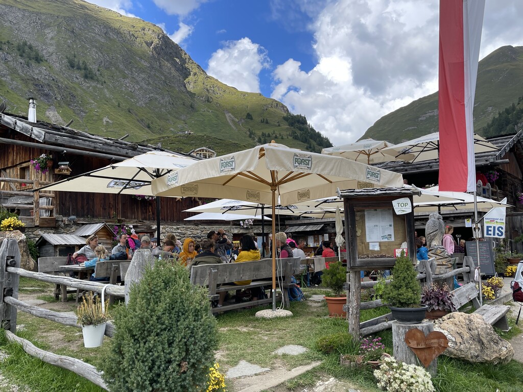
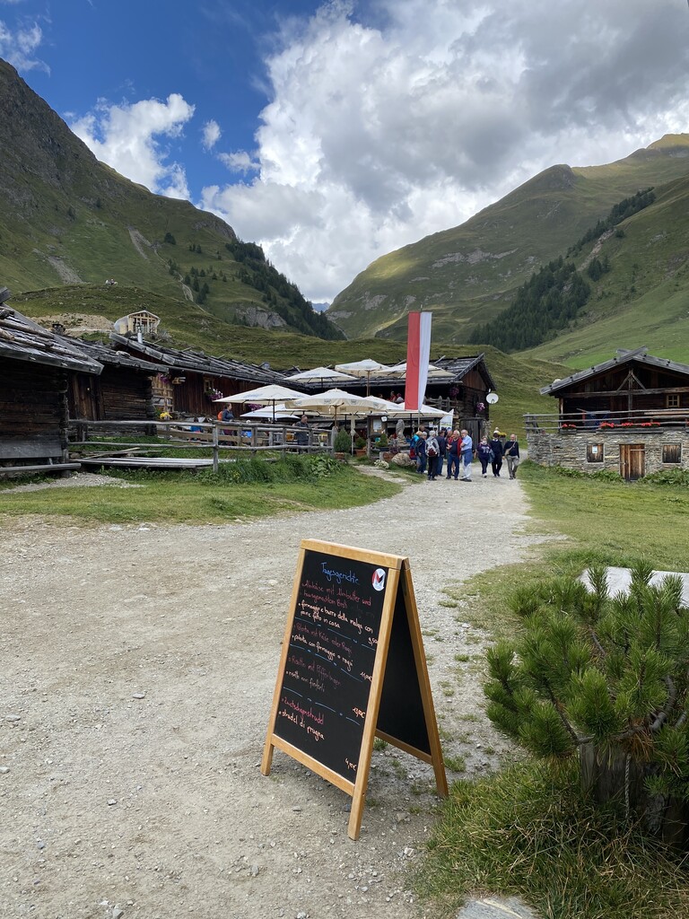
A hamlet of timber dairy huts on the pastures at the head of the Valles valley, above Rio di Pusteria, reached by track from Valles.
8.6 km away, in Rio di Pusteria/Mühlbach
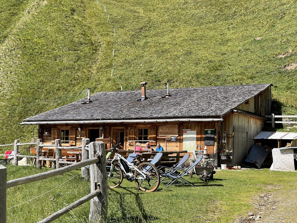
A dairy hut on the Tschiffernaun pastures above Rio di Pusteria, in the mountains north of the Val Pusteria.
9.9 km away, in Rio di Pusteria/Mühlbach
A pasture hut below the Kurzkofel above Rio di Pusteria, in the Pfunderer mountains north of the Val Pusteria.
11.4 km away, in Rio di Pusteria/Mühlbach
A working dairy on the high pastures above Valles, in the comune of Rio di Pusteria.
11.4 km away, in Rio di Pusteria/Mühlbach
A hut on the wooded slopes above Rio di Pusteria, reached on foot from the Valles road.
11.8 km away, in Rio di Pusteria/Mühlbach
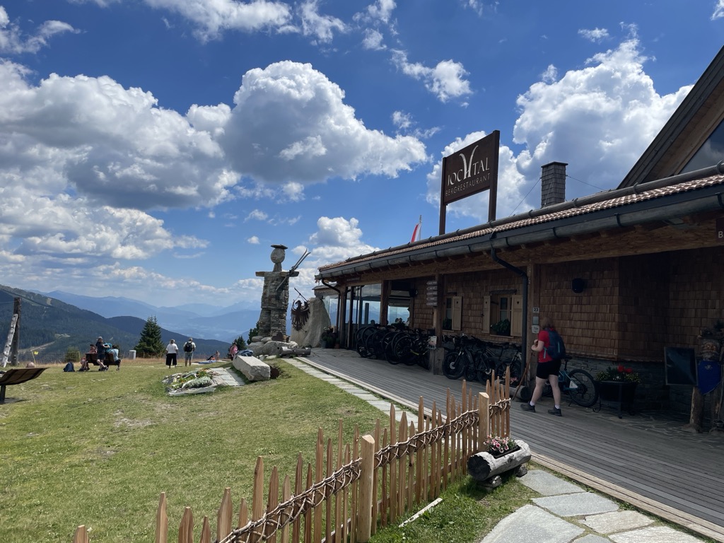
A mountain restaurant at the top of the Jochtal lift above Valles, in the Gitschberg-Jochtal area of the Val Pusteria.
12 km away, in Rio di Pusteria/Mühlbach
A pasture hut on the grassy slopes above Rio di Pusteria, reached by forest road from the Valles valley.
Nothing of this kind in Val di Vizze/Pfitsch.
50 routes, an even mix of activities · see the rest on vipiteno.com ↗
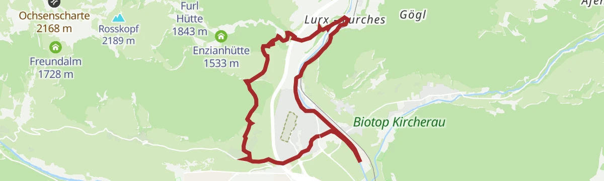
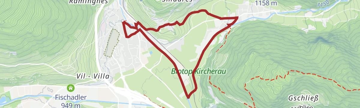
A valley walk out of Vipiteno through woods to the hamlet of Oberried and the Straßberg ruin, then under the motorway viaduct down to Colle Isarco.
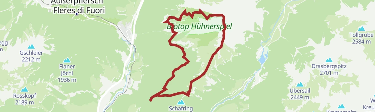
From above Schmuders on trail 3, then forest road past the Prantneralm and Riedbergalm and broad trail 11 to the Huehnerspielhuette; the road alone suits a pushchair.
 Prantneralm 1 781 m Hühnerspielhütte - Rifugio Gallina 1 868 m Riedberger Alm - Malga Riedbergalm 1 947 m Platzbergalm - Malga Piazza 1 899 m
A long ridge round behind the Braunhof over the Saun and the Bairnock to the Weisspitze and the Amthorspitze, one exposed step secured with an aluminium ladder.
Weißspitze - Punta Bianca 2 714 m Saun 2 083 m Riedspitze 2 490 m Bairnock - Punta del Dosso 2 591 m Amthorspitze 2 748 m Prantneralm 1 781 mA demanding, lonely ski tour to an exposed summit facing the Hochfeiler group, and not always in condition.
A long ski tour to the south summit of the Picco della Croce, a three-thousander on the Fundres ridge above the Val di Vizze.
A circuit from the Afens hamlet at the mouth of the Val di Vizze up to the Pfammes meadows.
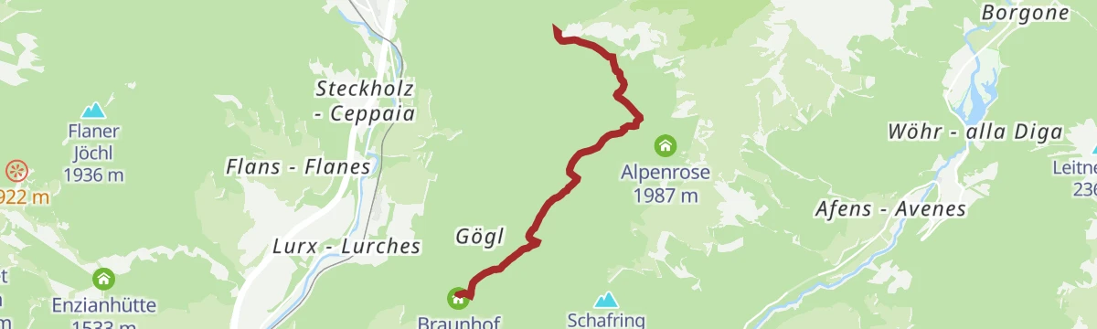
From the car park by the Braunhof at Schmuders, trail 3 through forest to the Prantneralm, then a forest path on to the Riedbergalm, which sells its own yoghurt and cheese.
From the hamlet of Fussendrass, trail 17 up the Drossberg valley and an old military road to the Sandjoch at 2,651 m, then across pasture to the Brixner Huette.
A long ski tour to a three-thousander above the Val di Vizze, high on the Fundres ridge on the border.
A flat riverside path from Sterzing down to Wiesen, following the dyke along the water on the valley floor.
Trail 6 climbs through forest behind the Braunhof to the Saun at 2,062 m, returning by 6A past the Prantneralm and then trail 3.
From the hamlet of Burgum, trail 2 up the valley past dripstone formations and above the tree line to the closed Sterzingerhuette, then steeply to the 3,131 m summit.
Wilde Kreuzspitze Südgipfel - Picco della Croce Cima Sud 3 132 m Sterzinger Hütte - Rif. Vipiteno 2 346 mA ski tour to the Croda Rossa on the border crest high above the Passo di Vizze, ground shared with several classic winter lines.
The Eisack promenade south out of Sterzing, then trail 24B up to Sprechenstein castle and trail 24 on to the pilgrimage church of Maria Trens; bus or train back.
A forest climb from the Braunhof at Schmuders up to the Prantneralm, a working pasture inn on the slopes above the Sterzing basin.
A long climb to the Hochfeiler at 3,510 m, the highest of the Zillertal Alps, ringed by glaciers on the border above the Val di Vizze.
A ski tour to the Rotbachlspitze, set on the border ridge high above the Pfitscherjoch and a hub for several classic winter lines.
From the Wiesen public park over the river and up a forest road to Sprechenstein castle, returning on trail 24B and the riverside promenade.
Trail 3 above the Braunhof towards the Weisse Spitze, then a short stretch of forest road and a drop left to the Prantneralm inn at 1,780 m.
From the Sterzing valley floor by way of Schmuders up to the Prantneralm, then down to the Novale hamlet past the Strassberg ruin, once the seat of the local counts.
A ski tour over easy ground on the frontier crest between the Europahuette and the Wolfendorn, topping out on the Wildseespitze.
A gently graded loop round the head of the Val di Vizze, open to the Zillertal peaks and passable with a pushchair.
A forest climb to the unstaffed Grubberg hut, set below the Wolfendorn, with the Val di Vizze mountains opening out at the top.
From the Wiesen park up trail 24 to the Gschliessegg viewpoint, then the Pfunderer high trail past the Plitschalm and the Jagerjoechl to the Hoellenkragen at 2,392 m.
Höllenkragen 2 387 m Gschließegg 1 671 m Trenser-Joch-Biwak 1 996 m Jogerjöchl 2 136 m Trenser Joch - Passo di Trens 2 212 m Fluigenalm 1 888 m
A ski tour over easy ground on the border ridge between the Europahuette and the Wolfendorn.
A kilometre of forest path from the Aue playground at St. Jakob, with life-size wooden mushrooms and panels on how they grow and what they are used for.
A circuit on the slopes around Sterzing through Tschöfs, birthplace in 1490 of the peasant leader Michael Gaismair; a few steep, rough sections rule out pushchairs.
Trail 4 from the car park towards the Pfitscherjoch, then along the crest to the Rotbachl at 2,895 m, with a return past the Pfitscherjochhaus on trail 3.
A demanding ski tour over the Passo di Vizze to the Stampflkees on the Austrian side, finishing up a steep eastern slope.
The Eisack boardwalk south from Vipiteno below Sprechenstein castle, then along the Pfitsch river to the park at Prati, with the cycle path for the return.
A valley-floor walk from Sterzing southeast to Wiesen at the mouth of the Pfitschtal, nearly flat the whole way.
From Kematen past the parish church and up trail 4 to the Schluesseljoch at 2,192 m, then the crest on trail 3 to the Flatschspitze and down by the Flatschjoch.
Flatschspitz 2 566 m Schlüsseljoch - Passo della Chiave 2 212 m Flatschjoch - Passo Vallaccia 2 395 m Grubbergalm 2 008 m Grubenalm 1 903 m Hatzlacke 1 850 m
A demanding ski tour over the Pfitscherjoch onto the Austrian side and the Stampflkees, then up a steep east flank to the top.
From the car park at St. Jakob over the bridge and along trail 9 to the Moassl waterfall, level enough for a pushchair.
From the third bend on the Pfitscherjoch road, trail 7 up the left side of the valley over pasture, scree and moraine to the bivouac at 2,510 m under the Hochferner.
A long climb from Kematen in the Val di Vizze to the Wolfendorn, a border summit on the ridge above the Brenner.
Wolfendorn - Spina del Lupo 2 774 m Flatschjoch - Passo Vallaccia 2 395 m Grubbergalm 2 008 m Grubenalm 1 903 m Hatzlacke 1 850 mA demanding, solitary ski tour to an exposed summit looking across to the Hochfeiler; conditions do not always allow it.
A level round of the village of Prati, over the Pfitsch river and out on the Prantlweg, back by the Millerbruecke, the power station and the Roanderweg.
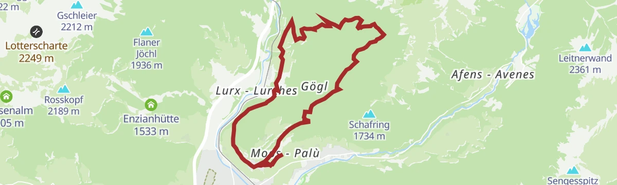
From Prati at 948 m by the Moos castle towards Flains, then forest path 25A up to the Klauserhof and a road on to the Braunhof snack stop.
Trail 3 from the third bend past old hay barns and across the hillside into a stony basin, then grass and switchbacks to the Gran Pilastro hut at 2,715 m.
A very demanding ski tour up steep ground in the Val di Vizze mountains, ending on the Grabspitz.
From the Moos castle at Wiesen towards Flains, then trail 25 up through forest to the road, with the Braunhof inn a few steps beyond.
Trail 1 from the third bend past old hay huts, along the hillside into the valley and up grass switchbacks to the Hochfeiler hut at 2,715 m.
A classic Val di Vizze ski tour up the Felbe, rewarding for its open snow slopes; ice axe and crampons are recommended.
A forest climb from Prati to the Gschliessegg viewpoint and on to Sprechenstein castle, which looks down the length of the Vipiteno valley floor.
From the hamlet of Tulfer, trail 5 climbs through forest to the unstaffed Fluigenalm and up switchbacks to the crest, then along it to the Hoellenkragen at 2,392 m.
A hard ski tour with steep sections on the north side of the Val di Vizze mountains, topping out on the Grabspitz.
From the hamlet of Fussendras, trail 17 climbs steadily up the Drossberg valley to the unstaffed Drosberg hut at 1,933 m.
From Platz a forest road follows the stream, then steep trail 3A rises past the tree line and up switchbacks left of the crest to the Europahuette at 2,693 m.
A steep ski tour above the Pfitsch valley, skinning past the Pirstlingalm for some 1,550 m of climbing in under 7 km.
No routes of this kind in Val di Vizze/Pfitsch yet.
Summit
via From Pfitsch to the Wilde Kreuzspitze summit

Featured route
A valley walk out of Vipiteno through woods to the hamlet of Oberried and the Straßberg ruin, then under the motorway viaduct down to Colle Isarco.
Everything else Trentino-Alto Adige/Südtirol has, in one place
Every route on this page with 3D terrain, GPX navigation and offline maps — including the valleys with no signal.


