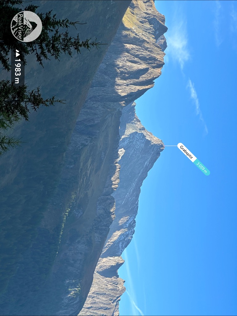
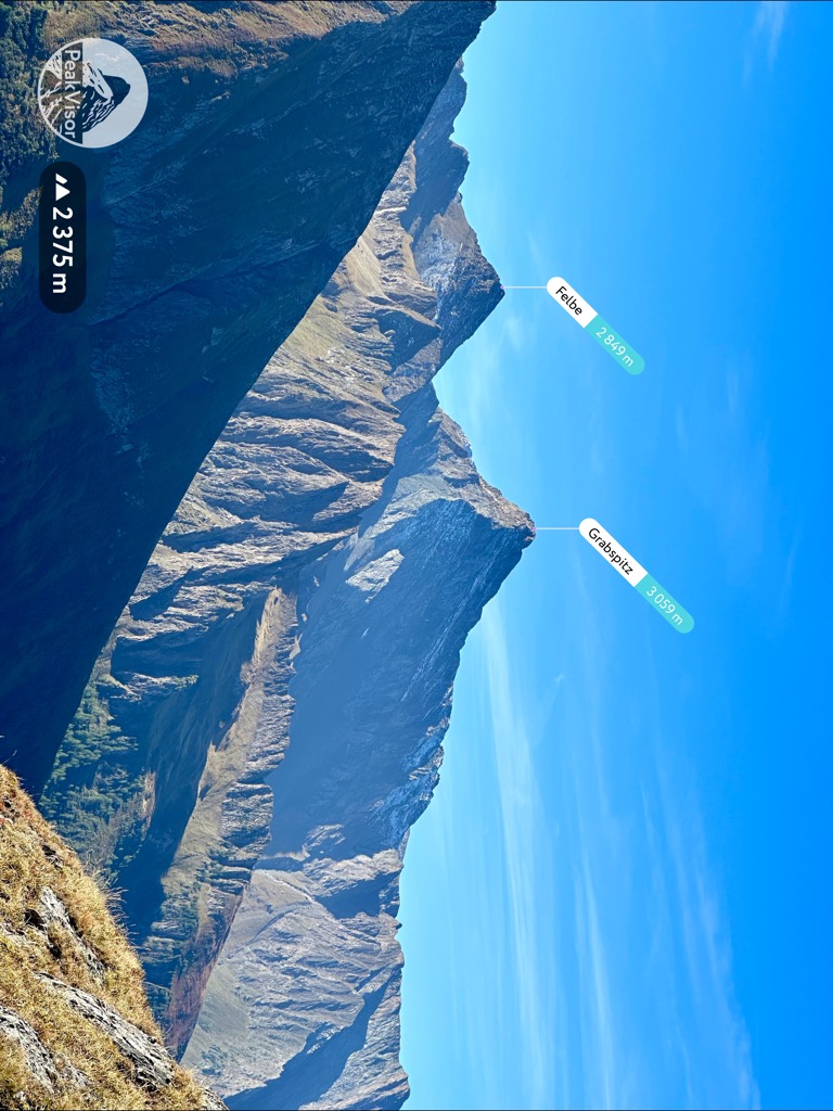
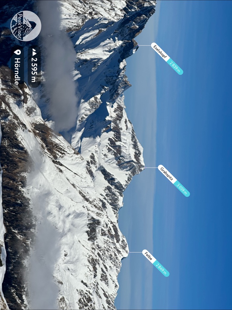
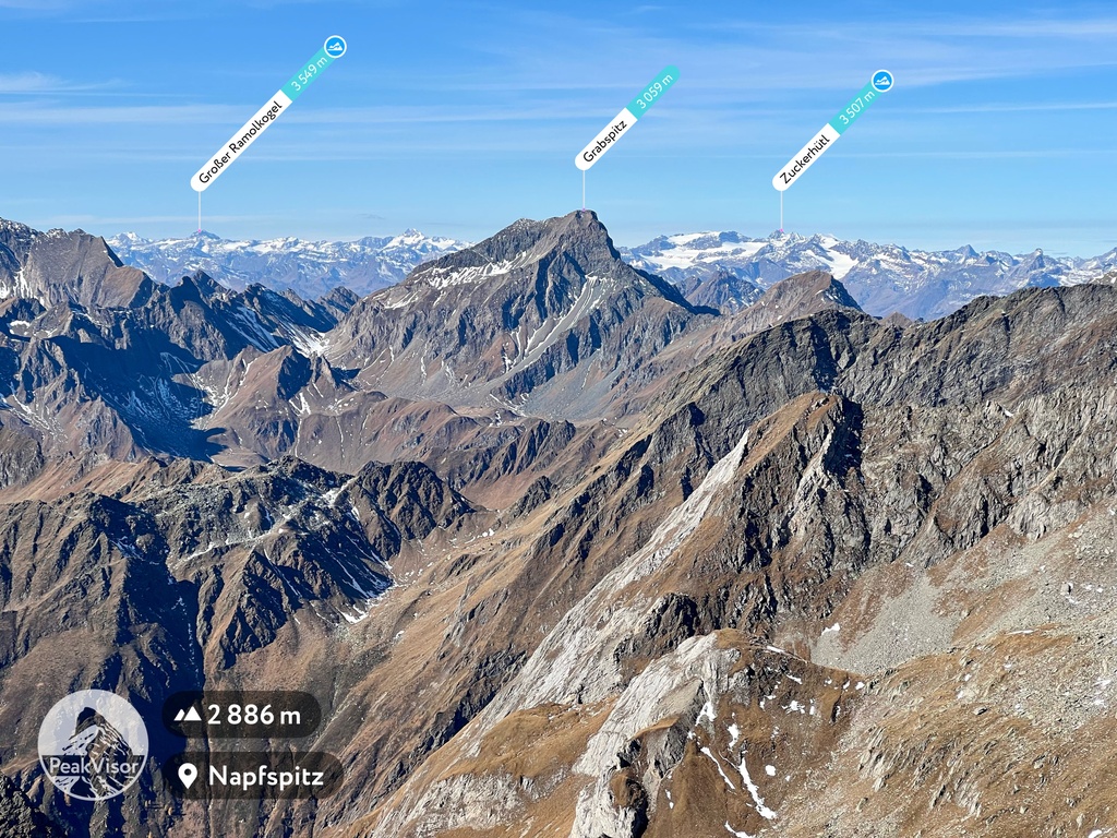
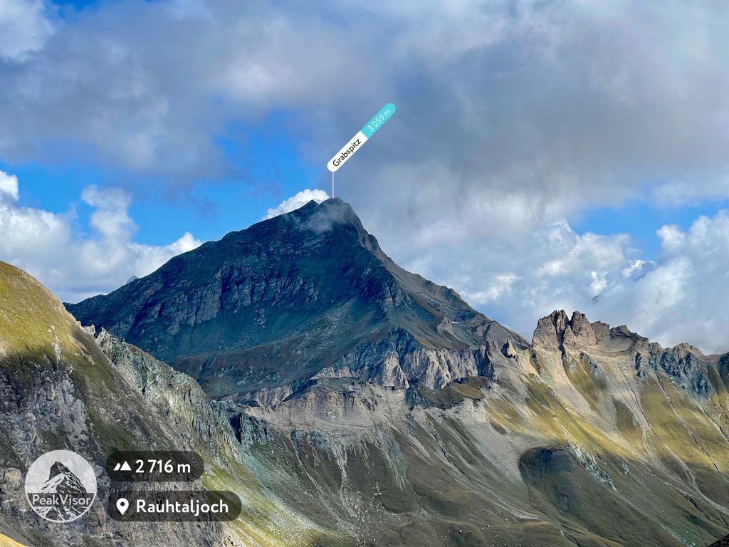
The Grabspitze (3,062 m s.l.m., Italian: Cima Grava), formerly also called the Hochferner, is the second highest peak in the Pfunderer Mountains after the Wilde Kreuzspitze (3,135 m). The Pfunderer are a subrange of the Zillertal Alps located in the Italian province of South Tyrol. Its former name, "Hochferner", was derived from a firn field that lay to the side of the summit.
There's an alpine trail (T4) leading to the summit.
By elevation Grabspitz is
# 83 out of 802 in the Zillertal Alps
By prominence Grabspitz is
# 46 out of 3311 in the Western Tauern Alps # 61 out of 2178 in South Tyrol # 13 out of 802 in the Zillertal Alps
We use GPS information embedded into the photo when it is available.
3D mountains overlay
Adjust mountain panorama to perfectly match your photos because recorded by camera photo position might be imprecise.
Move tool
Rotate tool
Zoom
More customization
Choose which peak labels should make into the final photo and what photo title should be.
Next
Photo Location
Satellitte
Flat map
Relief map
Latitude
Longitude
Altitude
OR
Latitude
°'''
Longitude
°'''
Apply
Register Peak
Peak Name
Latitude
Longitude
Altitude
Register
Teleport
PeakVisor
This 3D model of Sagarmatha National Park in Nepal was made using the PeakVisor app topographic data. The mobile app features higher precision models worldwide, more topographic details, and works offline. Download PeakVisor maps today.
Download OBJ model
PeakVisor
The download should start shortly. If you find it useful please consider supporting the PeakVisor app.
PeakVisor for iOS and Android
Be a superhero of outdoor navigation with state-of-the-art 3D maps and mountain identification in the palm of your hand!