
 Mountain hut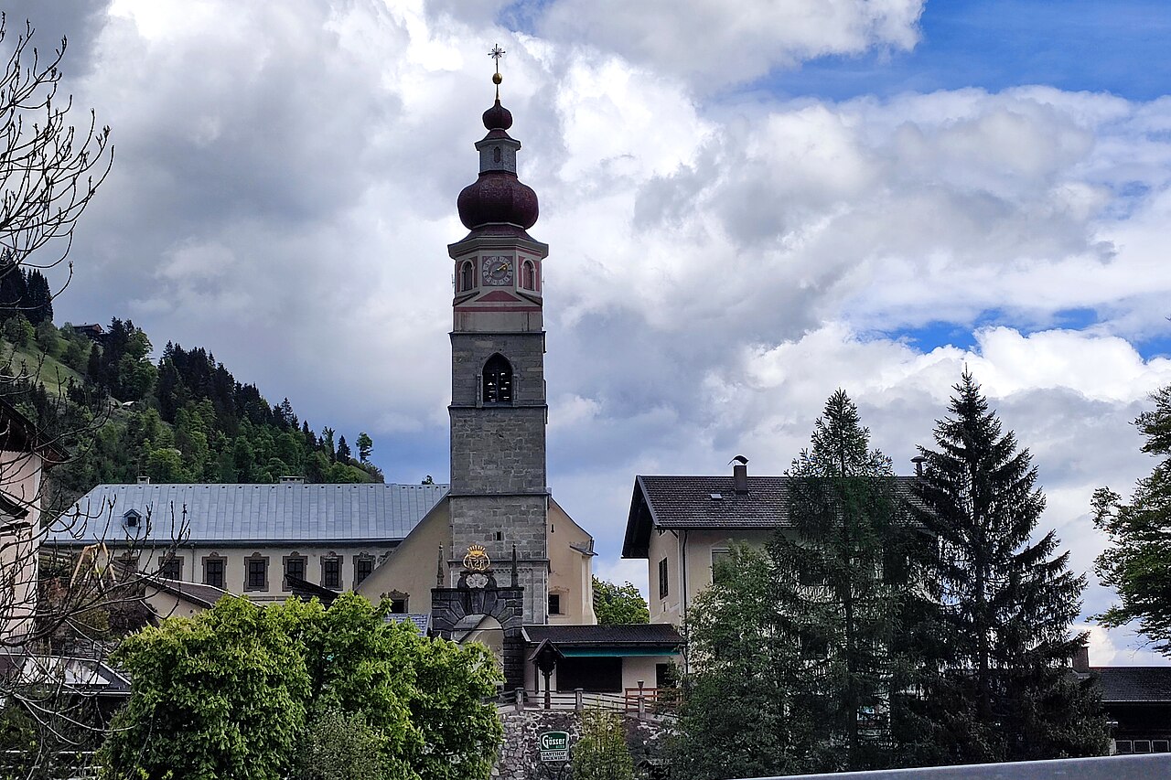
 Historic site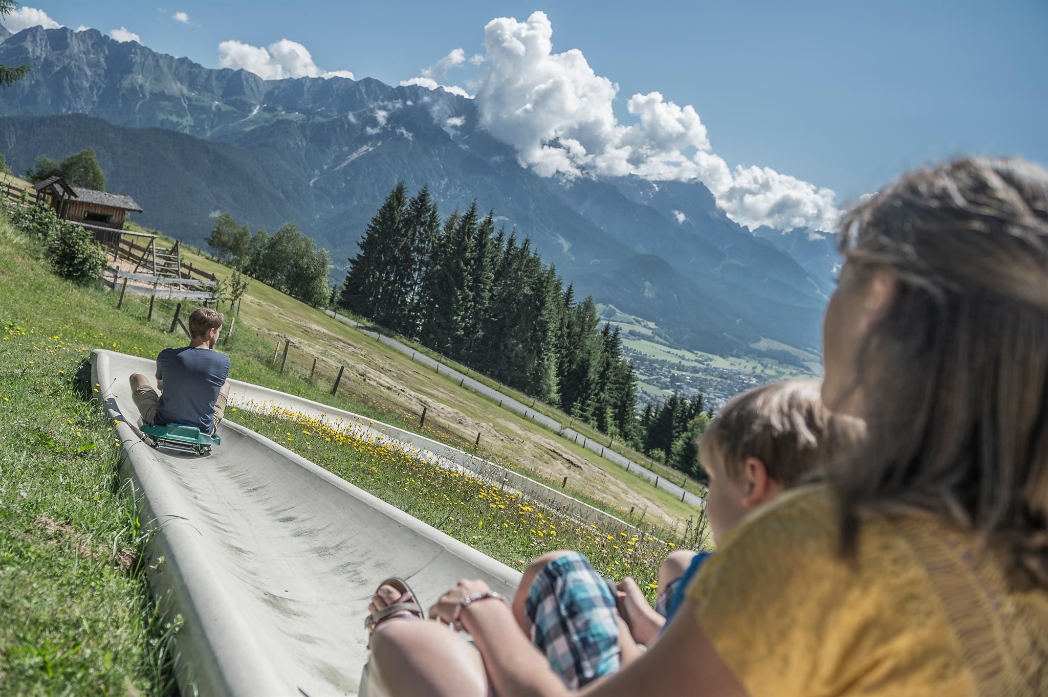
 Cable car






Curated by Kitzbüheler Alpen Tourismus
Leogang
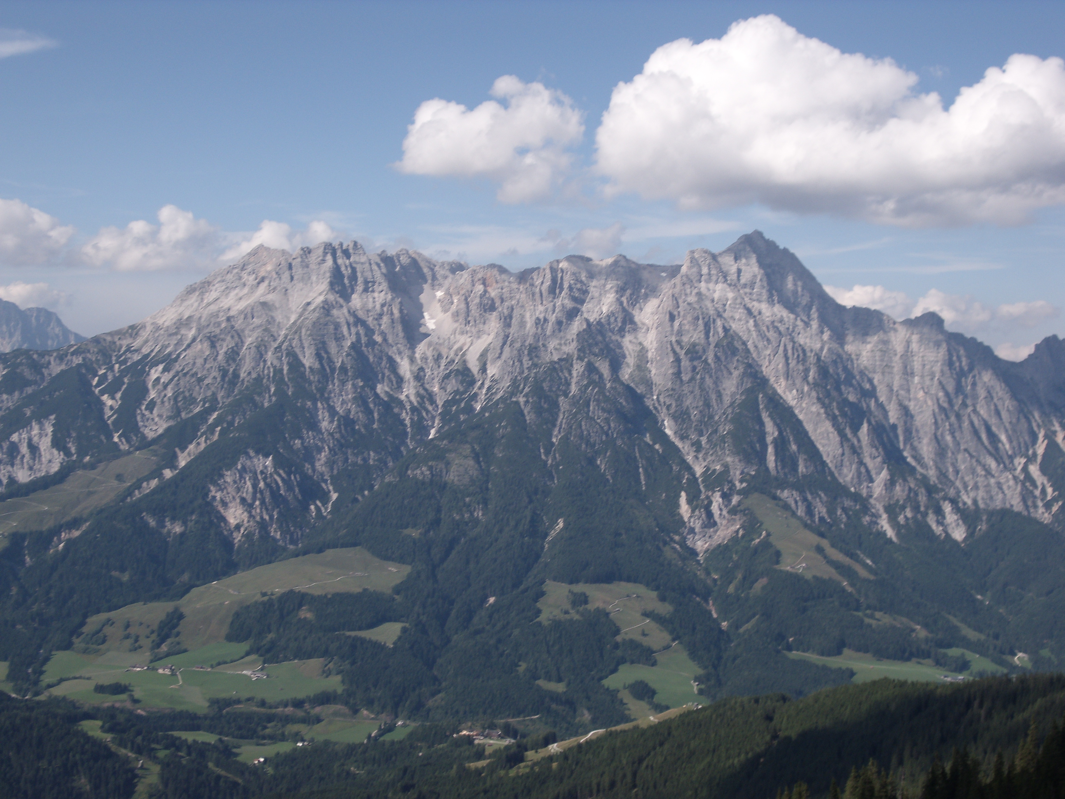
Under the jagged Leoganger Steinberge in a broad grass valley west of Saalfelden, a former mining parish now known for its bike park and the lifts shared with Saalbach.
- 15Highlights
- 14Routes
- Featured summit · Spielberghorn
Highlights
All 15 from neighbouring places
Spielberghaus
7 km away, in Saalbach-Hinterglemm
A mountain inn on the Spielberg in the Kitzbüheler Alpen, reached on foot or by bike in summer and known for its winter toboggan run.
Pfarrkirche Maria Schnee
7.6 km away, in Hochfilzen
The parish church of Hochfilzen in the Pillersee region, dedicated to Our Lady of the Snows, a fitting patron for a village at 959 m.
Sommerrodelbahn am Biberg
8.2 km away, in Saalfelden am Steinernen Meer
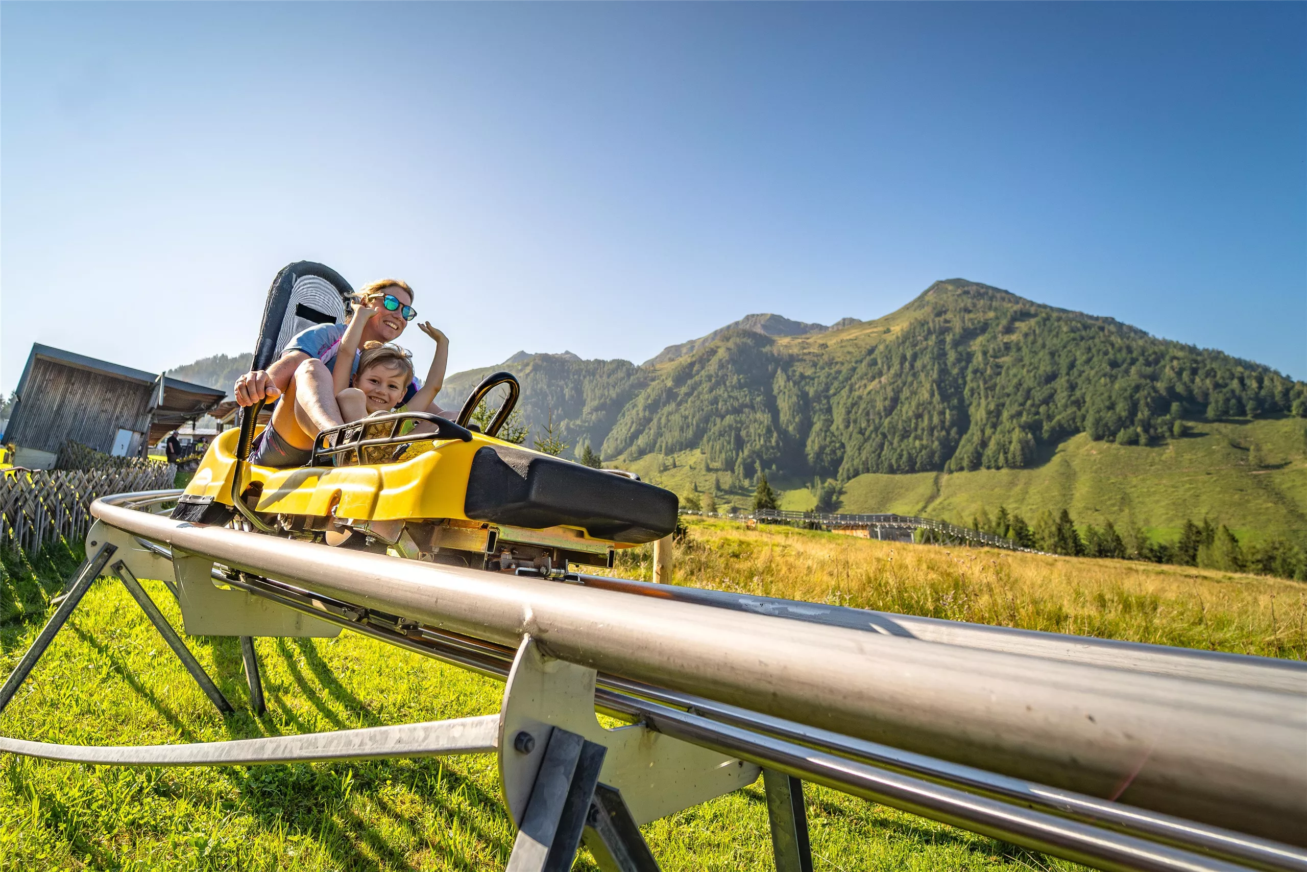
A summer toboggan run on the Biberg near Saalfelden, close to Maria Alm, descending through meadows and woods on a rail track.
Zweite Dimension
9.5 km away, in Weißbach bei Lofer
A sport climbing crag known as the Second Dimension, one of the climbing sites in the eastern part of the Kitzbüheler Alpen region.
Kinderspielplatz | Pfaffenschwendt
9.9 km away, in Fieberbrunn
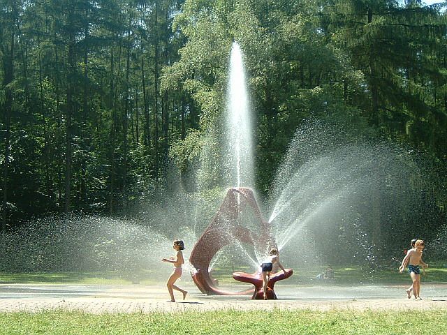
A children's playground serving the Pfaffenschwendt hamlet of Fieberbrunn in the Pillersee region.
Naturdenkmal Seisenbergklamm
10.2 km away, in Weißbach bei Lofer
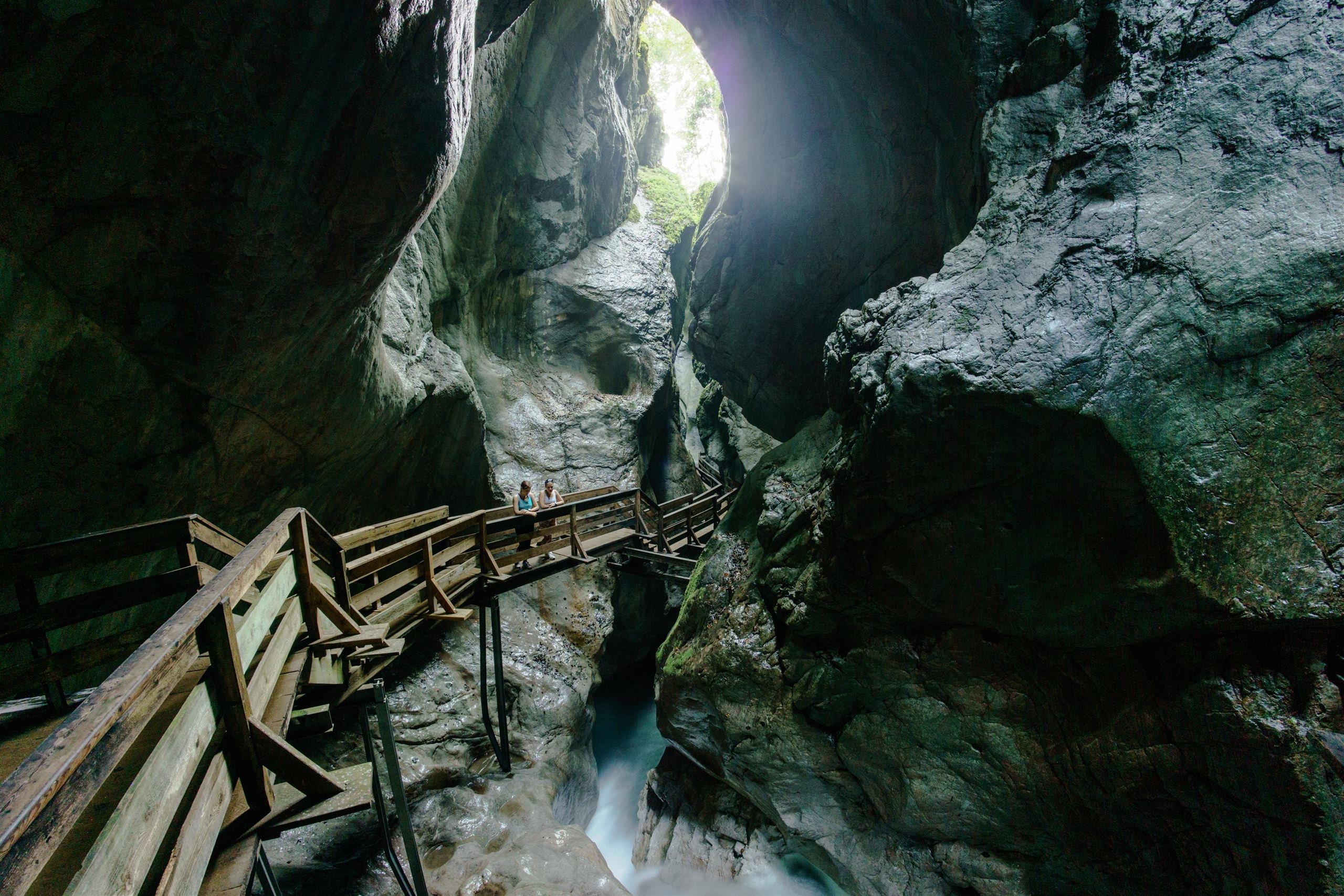
A protected gorge at Weißbach bei Lofer, where wooden walkways follow the Weißbach stream through a deep, water-carved rock passage.
Golfclub Gut Brandlhof
10.5 km away, in Saalfelden am Steinernen Meer
A golf course at the Brandlhof estate near Saalfelden, laid out along the Saalach river beneath the Steinernes Meer.
Bergbahnen Fieberbrunn
12.2 km away, in Fieberbrunn
The lift company serving Fieberbrunn in the Pillerseetal, whose gondolas connect the village to the Saalbach-Hinterglemm ski circuit and to summer walking terrain.
Kinderspielplatz | Kindergarten Fieberbrunn
13.3 km away, in Fieberbrunn
A playground at the kindergarten in Fieberbrunn, also usable as a play area for visiting families.
Pinzgauer Hütte
12.8 km away, in Piesendorf
A mountain hut on the ridge north of Piesendorf, on the walking route between Zell am See and the Glemmtal.
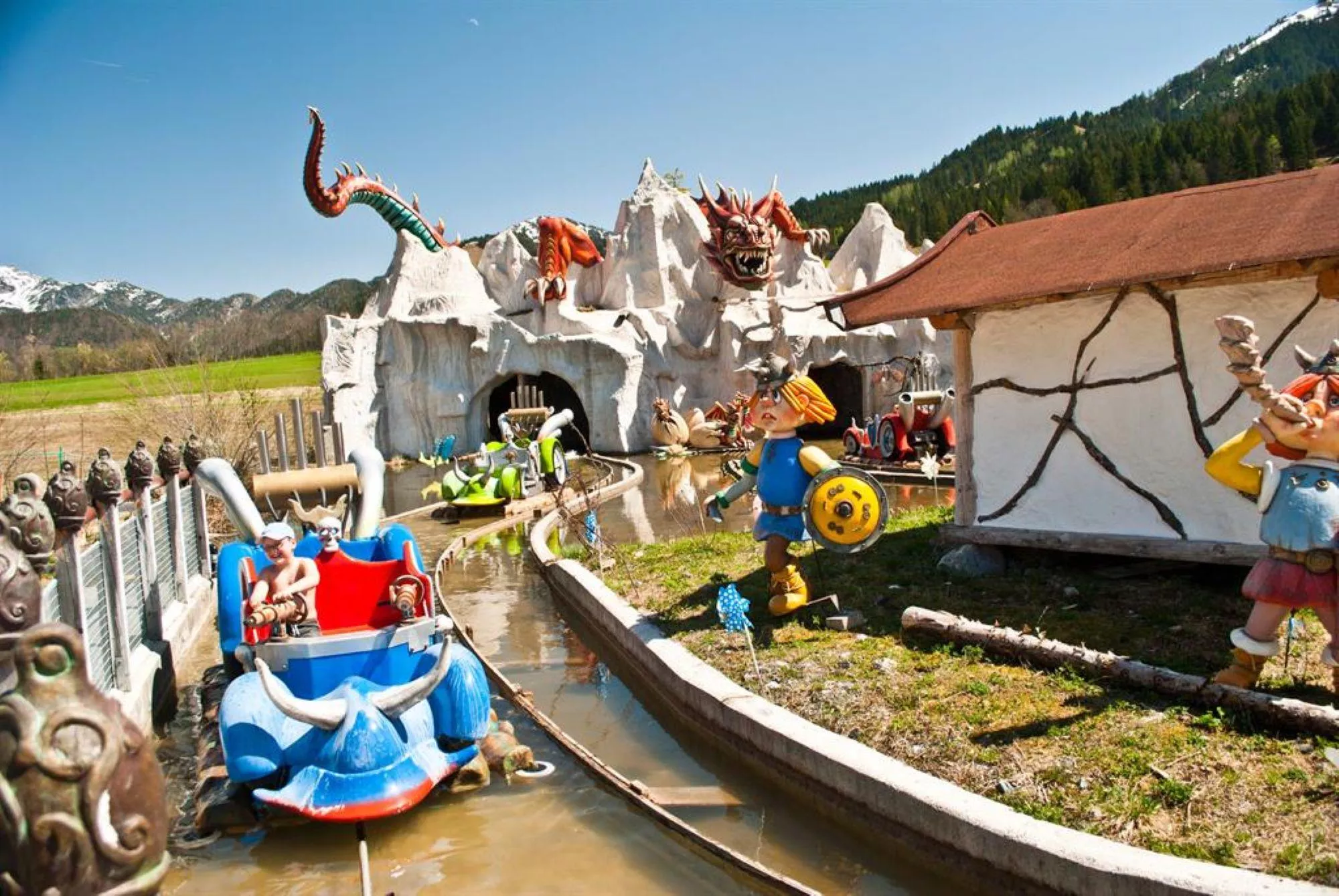
Erlebnispark Familienland Pillersee
13.2 km away, in St. Jakob in Haus
A family amusement park at St. Jakob in Haus in the Pillerseetal, with rides, water features and play areas near the Pillersee.
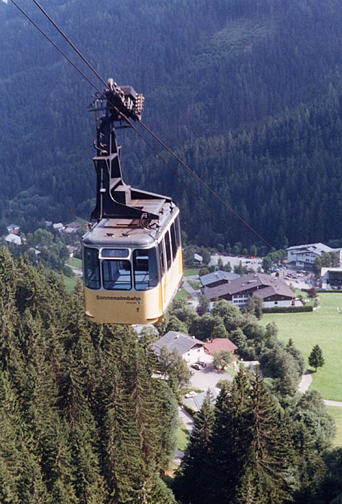
Sonnenalmbahn
13.3 km away, in Zell am See
A gondola from the Schmittenhöhebahn valley station up to the Sonnalm, the first stage toward the Sonnkogel trails above Zell am See.
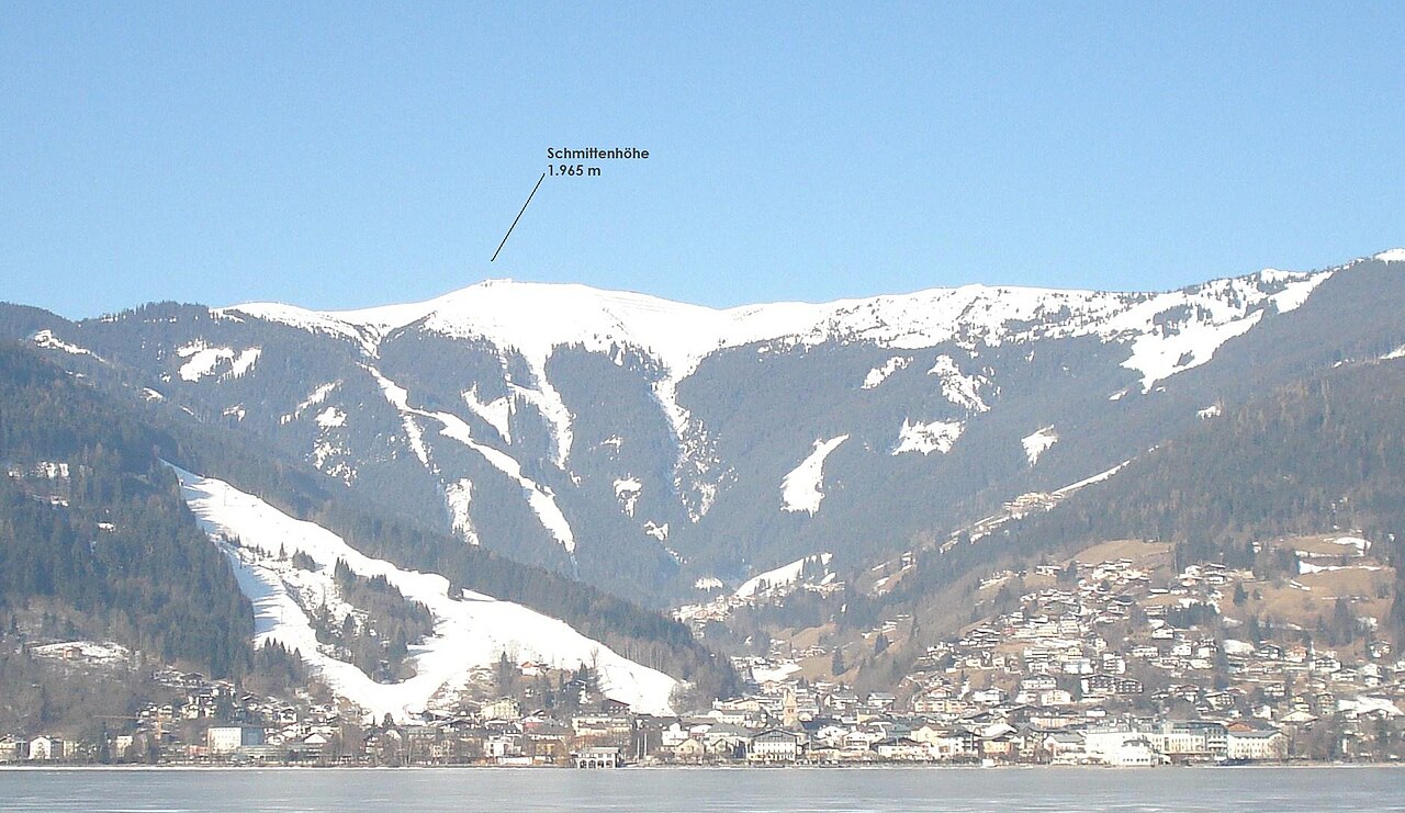
Schmittenhöhe Zell am See
13.3 km away, in Zell am See
The 1,965 m mountain above Zell am See, reached by gondola and the start of the Pinzgauer Spaziergang ridge walk.
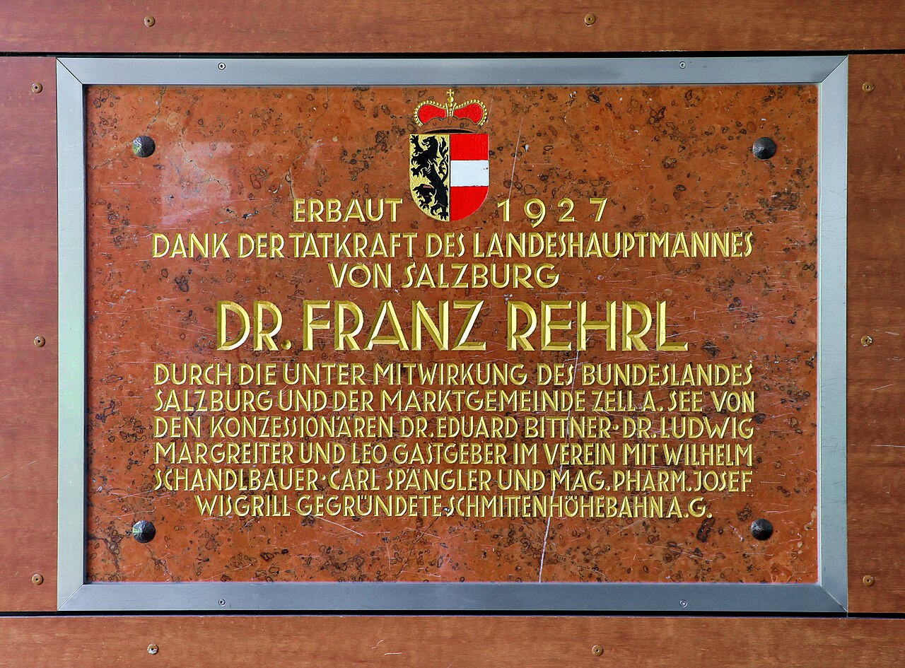
Schmittenhöhebahn
13.3 km away, in Zell am See
The cable car from Zell am See to the Schmittenhöhe summit area, successor to a lift line in service on this mountain since 1927.
Sommer auf der Schmittenhöhe
13.3 km away, in Zell am See
Summer lift operation on the Schmittenhöhe, Zell am See's local mountain, giving access to panoramic walking trails high above the lake.
Nothing of this kind in Leogang.
Routes
Leoganger Nord (Mitterspitze)
A short north-side via ferrata on the Fahnenköpfl in the Leoganger Steinberge, based at the Passauer Hütte at 2,051 m after a three-hour walk-in from Leogang.
- 508 m
- Distance
- 120 m
- Ascent
- 49 min
- Duration
- 28
- Check-ins
Leoganger Süd (Mitterspitze)
The harder south-wall line on the Fahnenköpfl, reached from the Passauer Hütte via the Hochtor; most parties descend by the easier north-side route.
- 1.3 km
- Distance
- 360 m
- Ascent
- 2 h 24 min
- Duration
- 28
- Check-ins
Grießner Hochmoor
A short, level nature loop through the protected high moor near Pass Grießen at Hochfilzen, with the Seealm at hand for refreshment afterwards.
- 1.4 km
- Distance
- 21 m
- Ascent
- 22 min
- Duration
- 1
- Check-ins
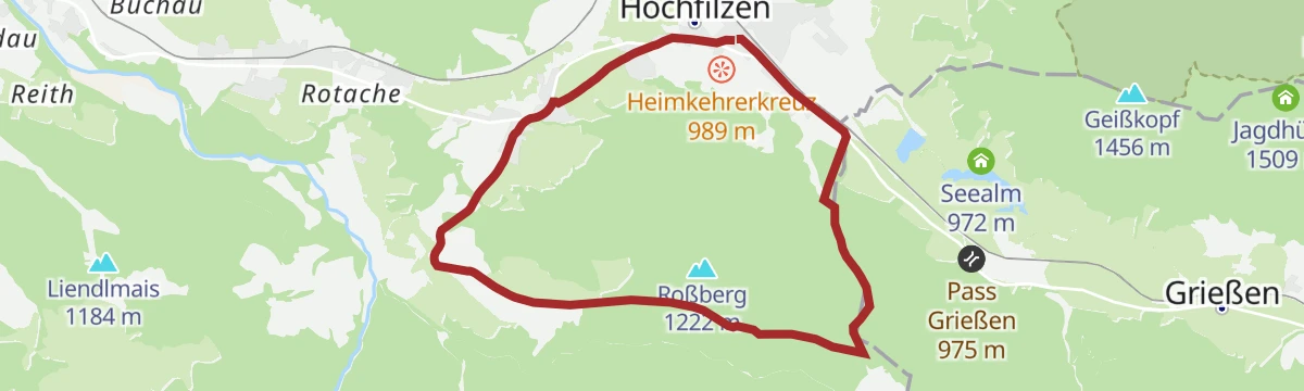
Eggerbergweg
Moderate loop over the Eggerberg slopes near Hochfilzen, combining forest tracks with open stretches around Pass Grießen.
- 8.8 km
- Distance
- 344 m
- Ascent
- 2 h 54 min
- Duration
Spielberg über Burgeralm
Sustained climb from the Eiserne Hand side over the Burgeralm and the Spielbergtörl to the Spielberghorn, gaining some 1,200 m on the ridge between Tirol and Salzburg.
- 7.9 km
- Distance
- 1 208 m
- Ascent
- 6 h 57 min
- Duration
- 13
- Check-ins
Örgenbauernalm-Biberg Runde - Saalachtaler Panoramatour
A long round on forest roads above the Saalach valley, linking two alms at 1,320 and 1,440 m with a long descent to Maishofen.
- 40.1 km
- Distance
- 935 m
- Ascent
- 4 h 27 min
- Duration
- 12
- Check-ins
11 Rund um das Kitzbüheler Horn
A long road circuit right around the Horn, from the Glemmtal over the Pass Thurn and back through Kitzbühel on the way home.
- 115.9 km
- Distance
- 1 673 m
- Ascent
- 11 h 51 min
- Duration
- 56
- Check-ins
Grießner Almen
A pastoral half-day circuit from Hochfilzen over Pass Grießen and through the surrounding alm bowls, calling at the Tödlingalm beneath the Leoganger Steinberge.
- 12.2 km
- Distance
- 527 m
- Ascent
- 4 h 9 min
- Duration
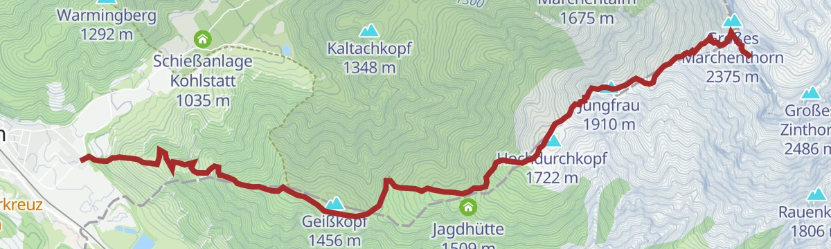
Grießner Hochbrett
Demanding climb from Hochfilzen into the Leoganger Steinberge, gaining over 1,500 m via the Grießner Rotschartl and collecting several rocky tops along the way.
- 7.7 km
- Distance
- 1 571 m
- Ascent
- 8 h 44 min
- Duration
- 2
- Check-ins
Hochfilzen - Leogang - Schwarzleo
A long forest-road tour on the Salzburg-Tirol border, passing the Griessensee and the Seealm and returning below the Asitz and Steinberg lifts.
- 45.7 km
- Distance
- 1 447 m
- Ascent
- 5 h 25 min
- Duration
- 11
- Check-ins
Pillerseerunde
A big road loop over Pass Grießen and Pass Strub, passing the Lamprechtshöhle in the Saalach valley and a lakeside stop at Blattl.
- 100.0 km
- Distance
- 1 191 m
- Ascent
- 9 h 59 min
- Duration
- 21
- Check-ins
286 | Griessener Almen Rundkurs
A forest-road circuit from Hochfilzen by the Pass Grießen, climbing to the Tödlingalm at 1,400 m before the run back.
- 16.5 km
- Distance
- 608 m
- Ascent
- 2 h 2 min
- Duration
Bike & Hike Burgeralm - Spielberghorn - Kleberkopf
A ride out of Fieberbrunn to the Spielbergtörl at 1,671 m, from where the two peaks either side of the pass are climbed on foot.
- 27.9 km
- Distance
- 1 541 m
- Ascent
- 4 h 9 min
- Duration
- 19
- Check-ins
Grießner Almen Runde 286
A waymarked round on the alm roads above Hochfilzen, with the Tödlingalm the high point and the Grießen saddle on the way.
- 16.3 km
- Distance
- 612 m
- Ascent
- 2 h 1 min
- Duration
No routes of this kind in Leogang yet.
The region's own picks

Featured route
Grießner Hochmoor
A short, level nature loop through the protected high moor near Pass Grießen at Hochfilzen, with the Seealm at hand for refreshment afterwards.
Planning a trip to Leogang?
Everything else Salzburg (state) has, in one place


Take Leogang with you into the mountains
Every route on this page with 3D terrain, GPX navigation and offline maps — including the valleys with no signal.
Data sources
- Official website: saalfelden-leogang.com ↗
- Routes and highlights: Kitzbüheler Alpen Tourismus, Zell am See-Kaprun Tourismus, Hochkönig Tourismus, Kitzbühel Tourismus, Wilder Kaiser Tourismus, Nationalpark
- Published as open data by the tourist boards named above.
- Region summary generated from the board's own material.
