
 Mountain hut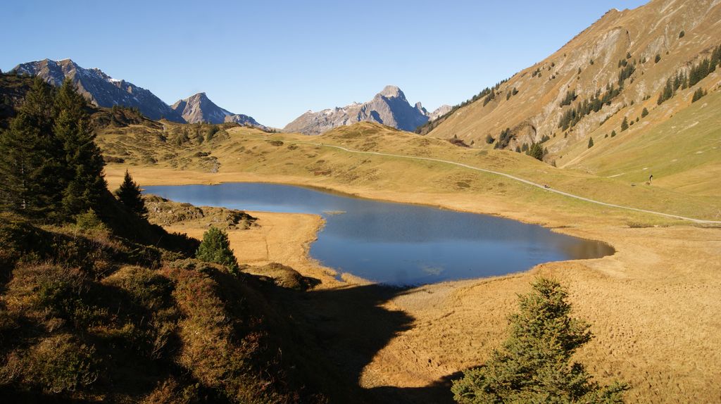
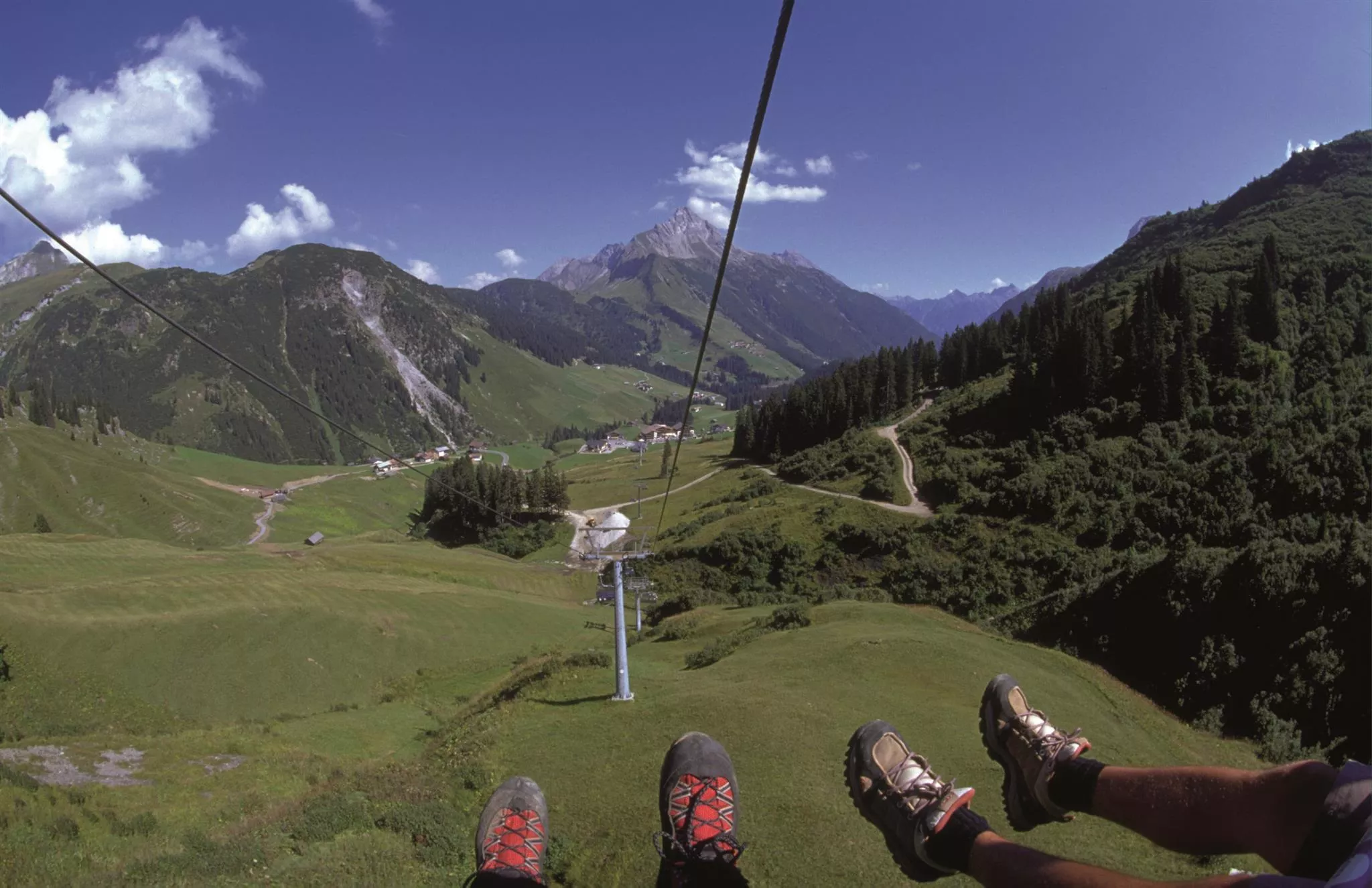
 Cable car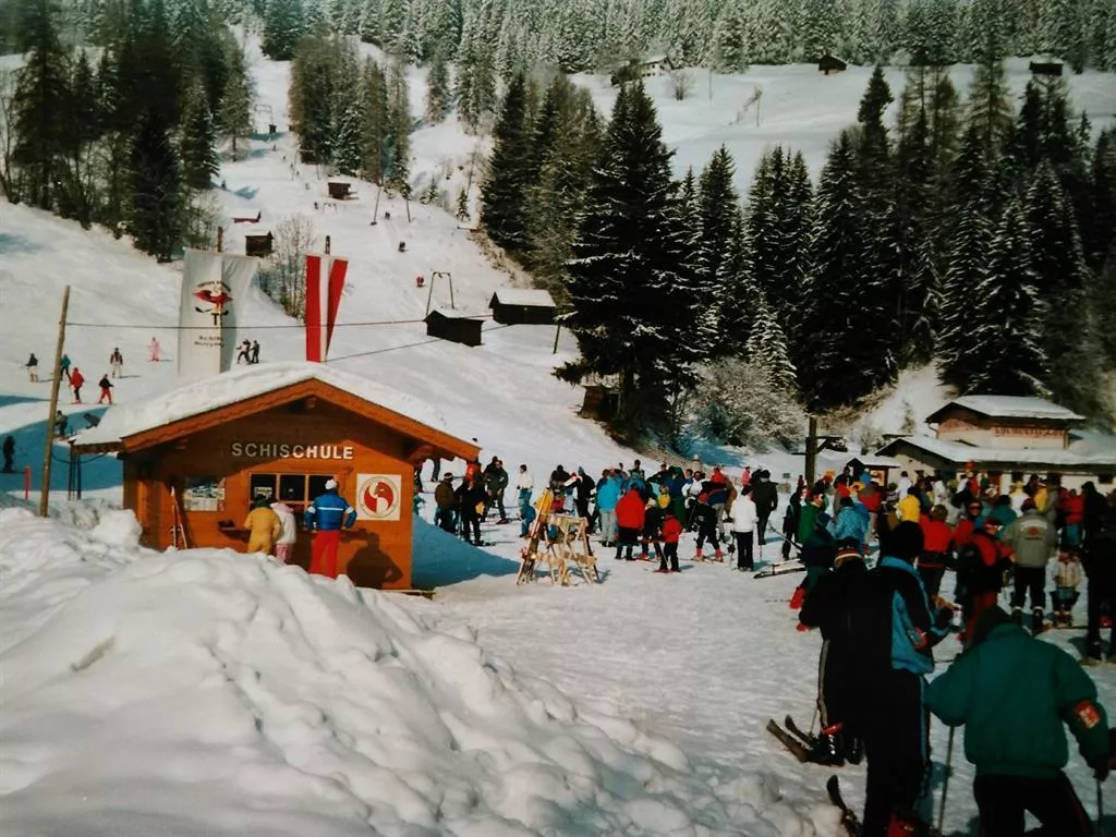
 Mountain pass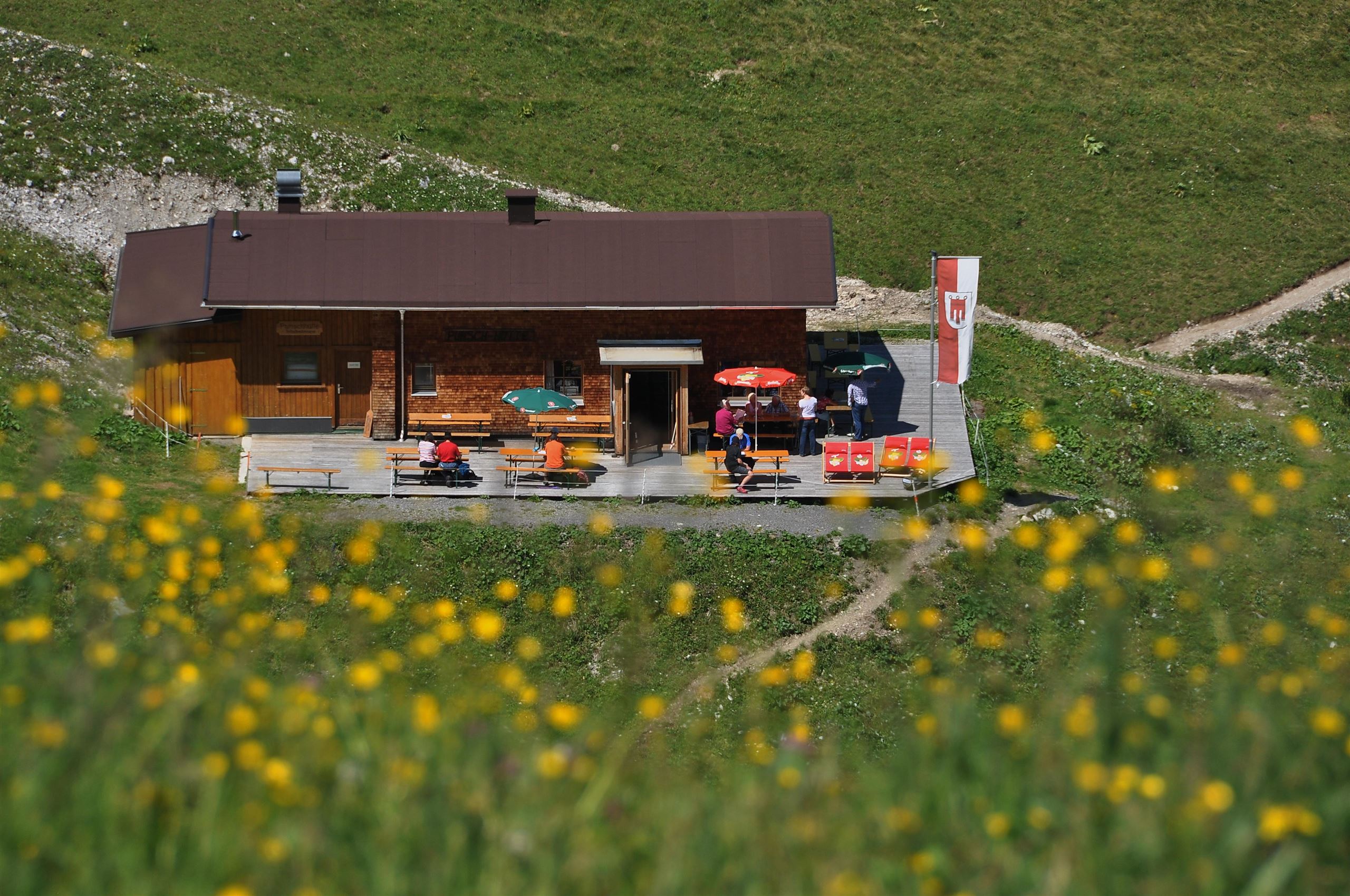





















Curated by Warth-Schröcken Tourismus
Warth
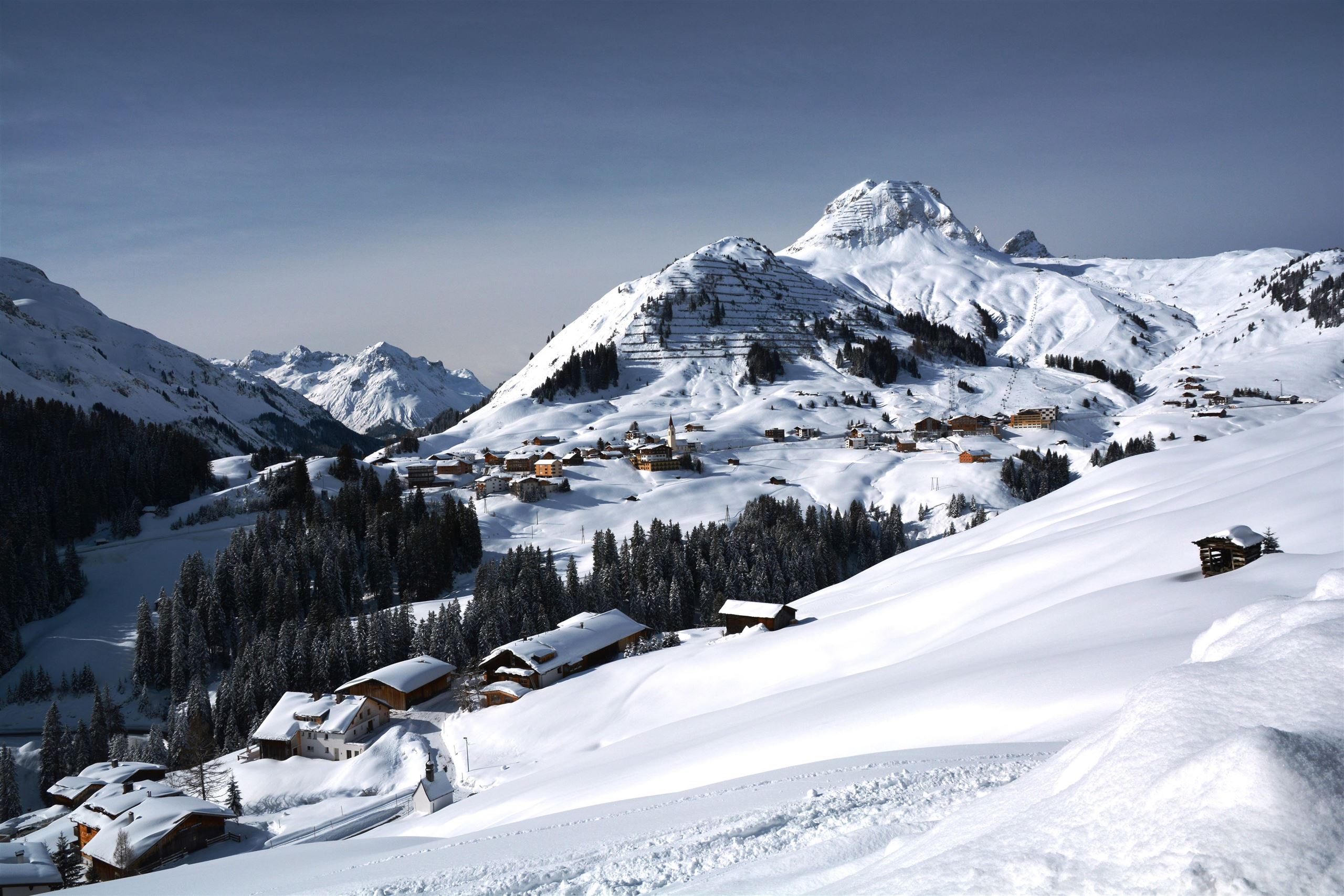
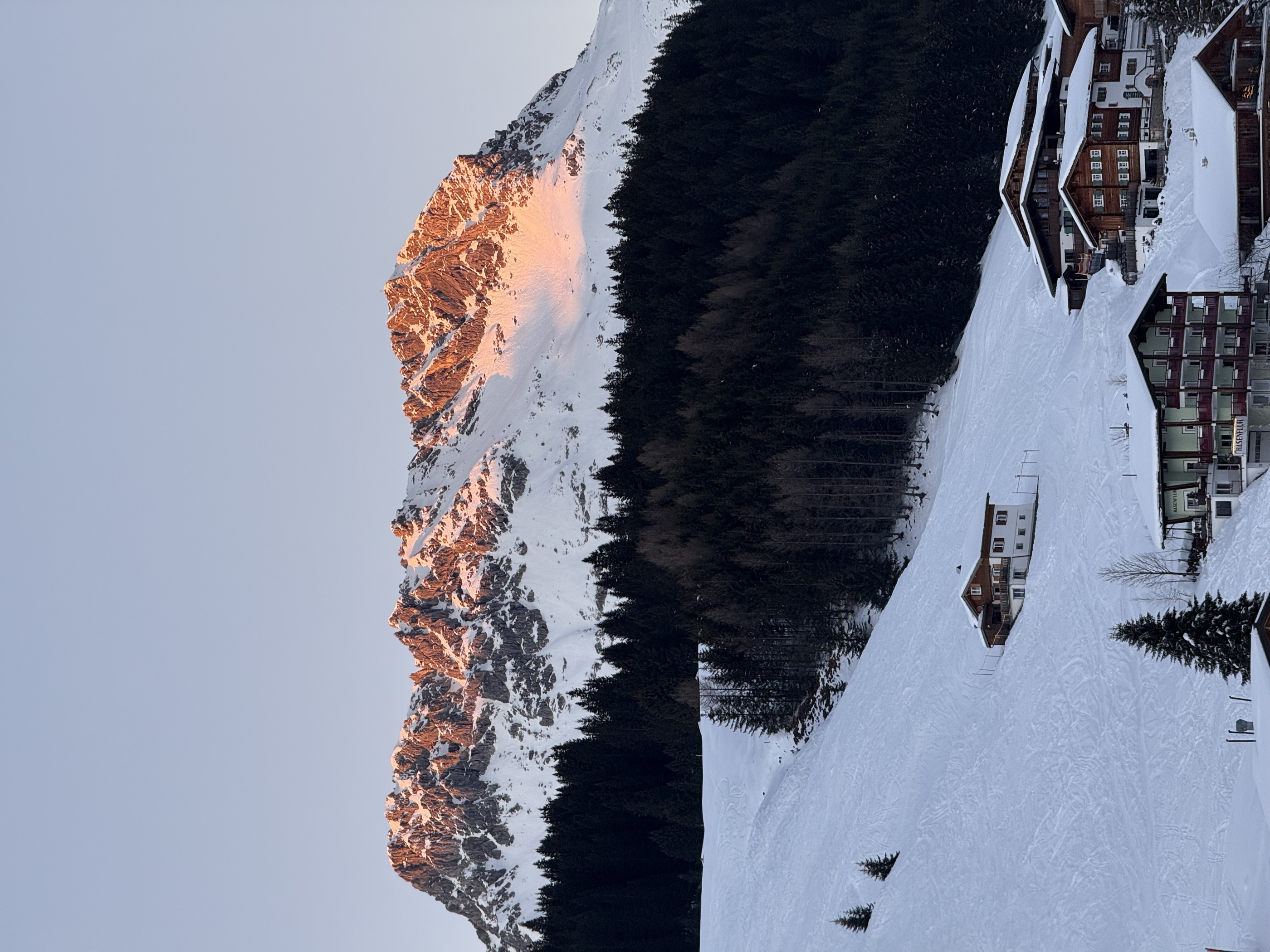
Vorarlberg's high corner at about 1500 m on the Hochtannberg pass road, a snow-sure ski village connected over the ridge to Lech and the Arlberg.
- 20Highlights
- 87Routes
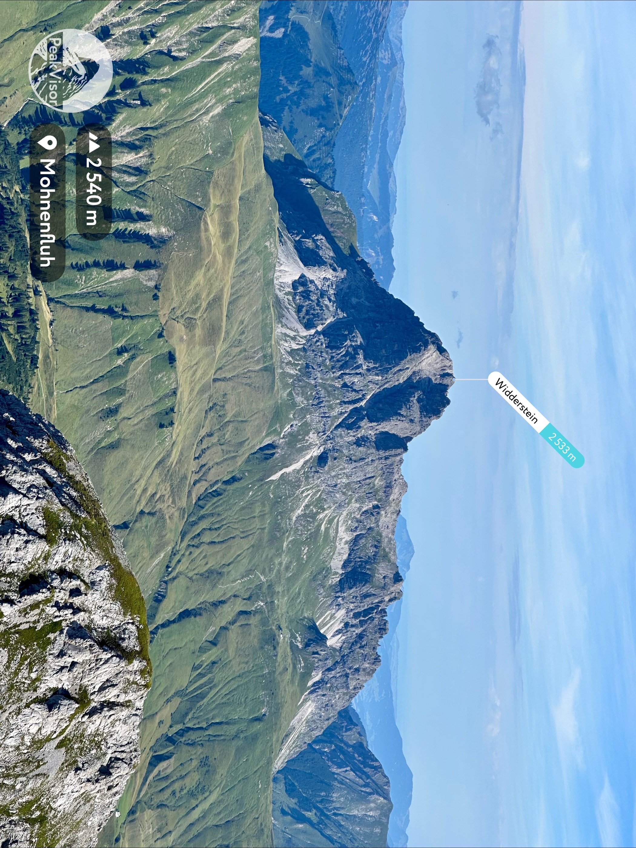
- Featured summit · Widderstein
Highlights
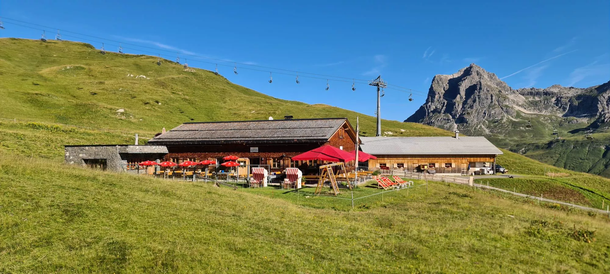
Hochalphütte
An alpine pasture hut above Warth am Arlberg, serving Austrian and regional dishes to walkers between the Lech valley and the Arlberg.
Kalbelesee
A natural high-mountain lake at about 1,653 m, lying a few metres from the road over the Hochtannbergpass.
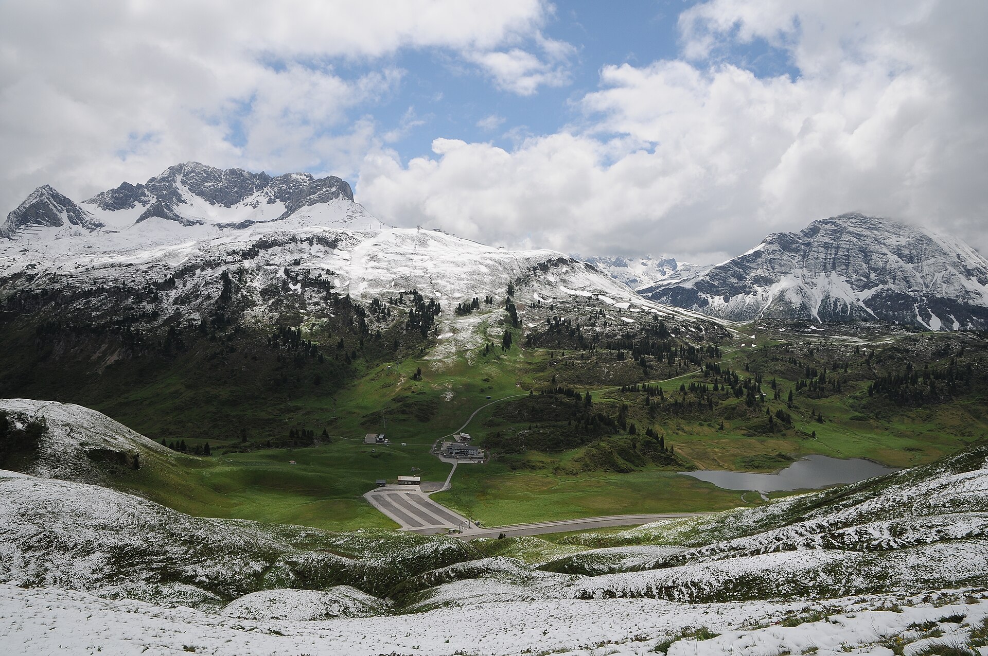 Natural feature Feel free to use my photos, but please mention me as the author and if you want send me a message. or (rufre@lenz-nenning.at) · CC BY-SA 3.0 at
Saloberkopf
A modest rise in the Lechquellen mountains made prominent by the chairlifts that reach it and market it as a ski hill.
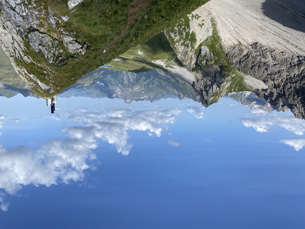
Warther Horn
A 2,256 m summit a kilometre and a half from the village, reached from the Steffisalp top station.
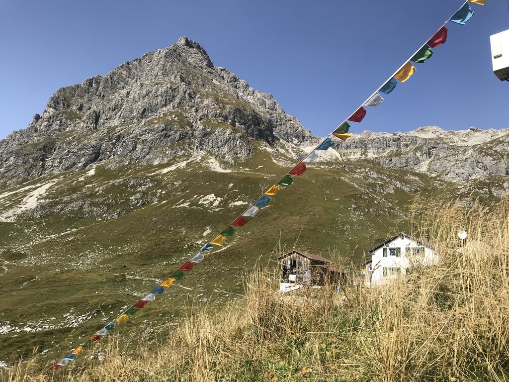
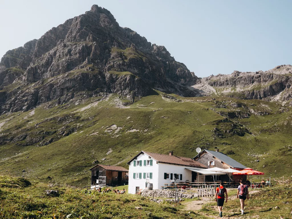
Widdersteinhütte
A private refuge at 2,009 m on the south side of the Großer Widderstein, with mattress space for 28.
Skigebiet Warth-Schröcken Ski Arlberg
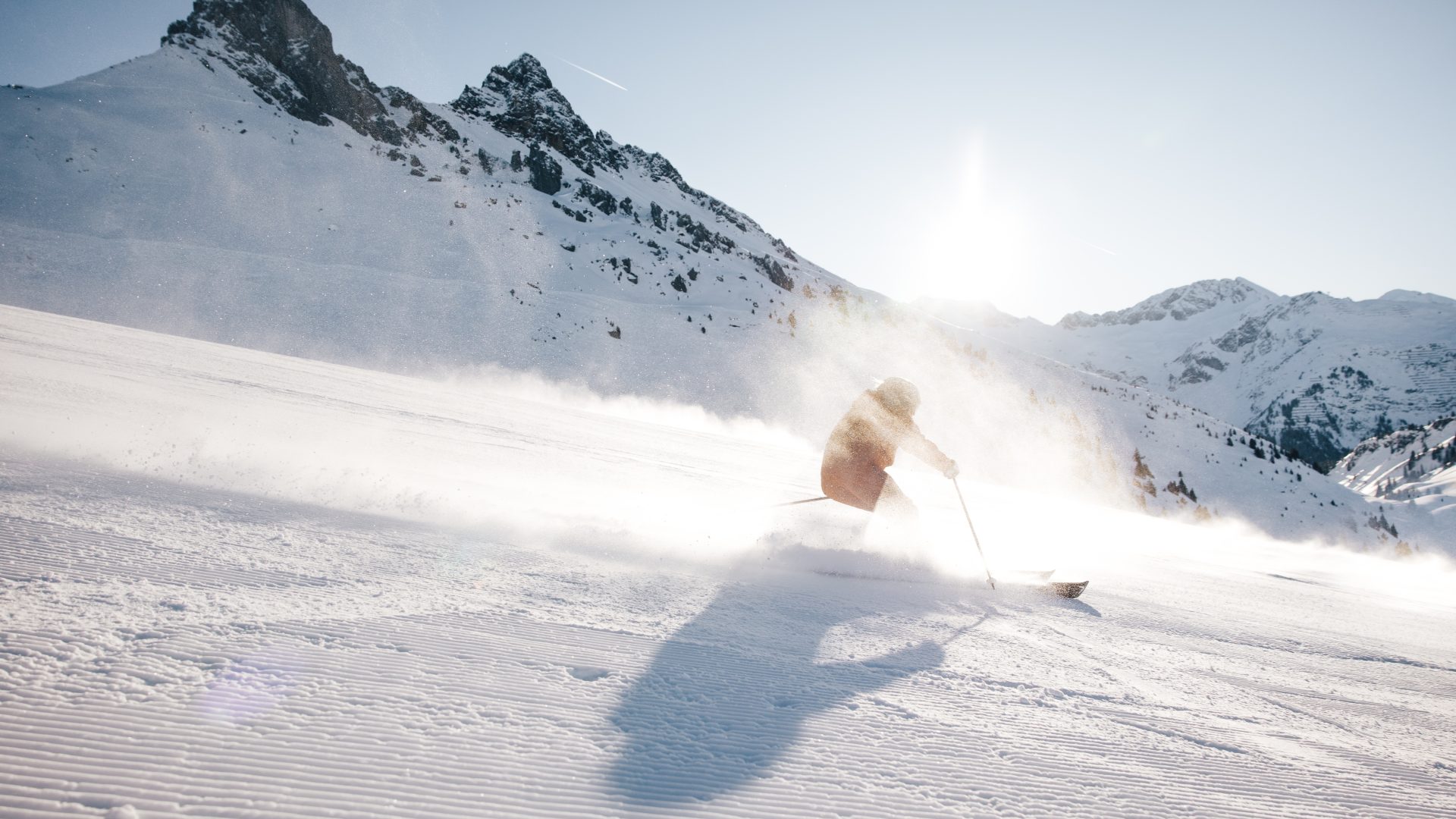
The ski area shared by the two villages, lying high enough at 1,300 to 1,500 m to be reliable for snow.
Skilift Gföllberg (Schlepplift)
A drag lift on the Gföllberg at Warth am Arlberg, serving a practice slope in the village at 1,495 m.
Skilifte Schröcken
The village ski lifts at Schröcken, serving local slopes in the upper Lech valley near the Hochtannberg pass.
Skilifte Warth
The lifts of Warth at 1,495 m in Vorarlberg, serving one of Austria's most snow-sure ski areas, connected with Lech and the Arlberg network.
Skilifte Warth - Steffisalp Express
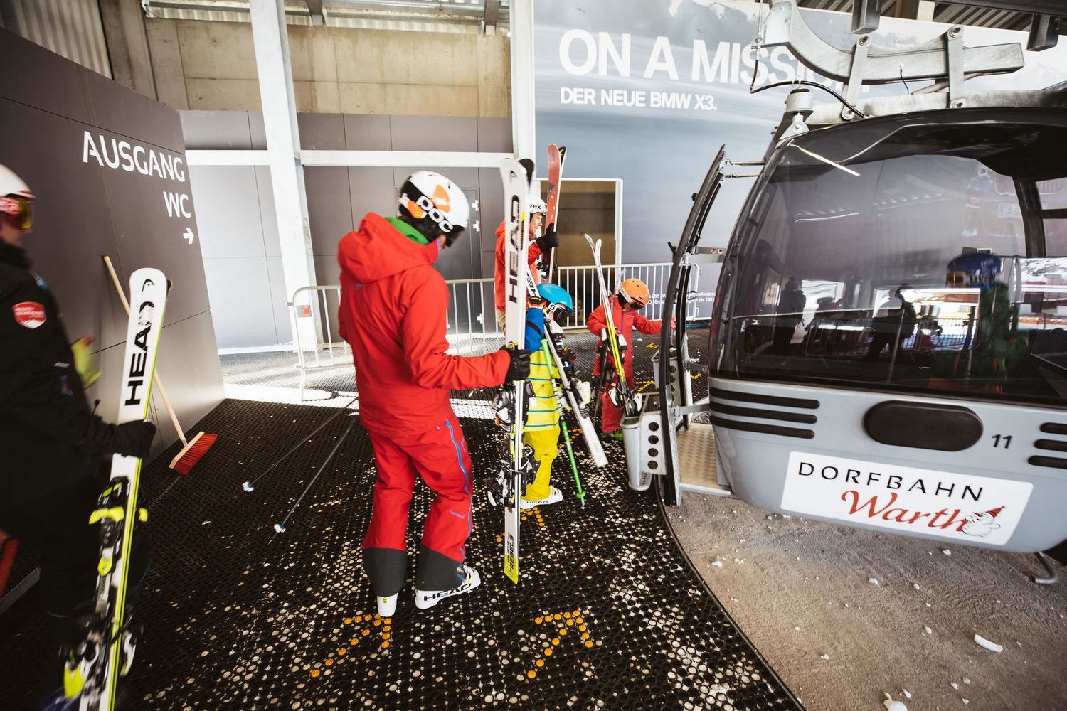
The Steffisalp Express chairlift at Warth am Arlberg, the village's main link into the slopes of the Ski Arlberg area.
Ausstellung "Warther Skigeschichte"
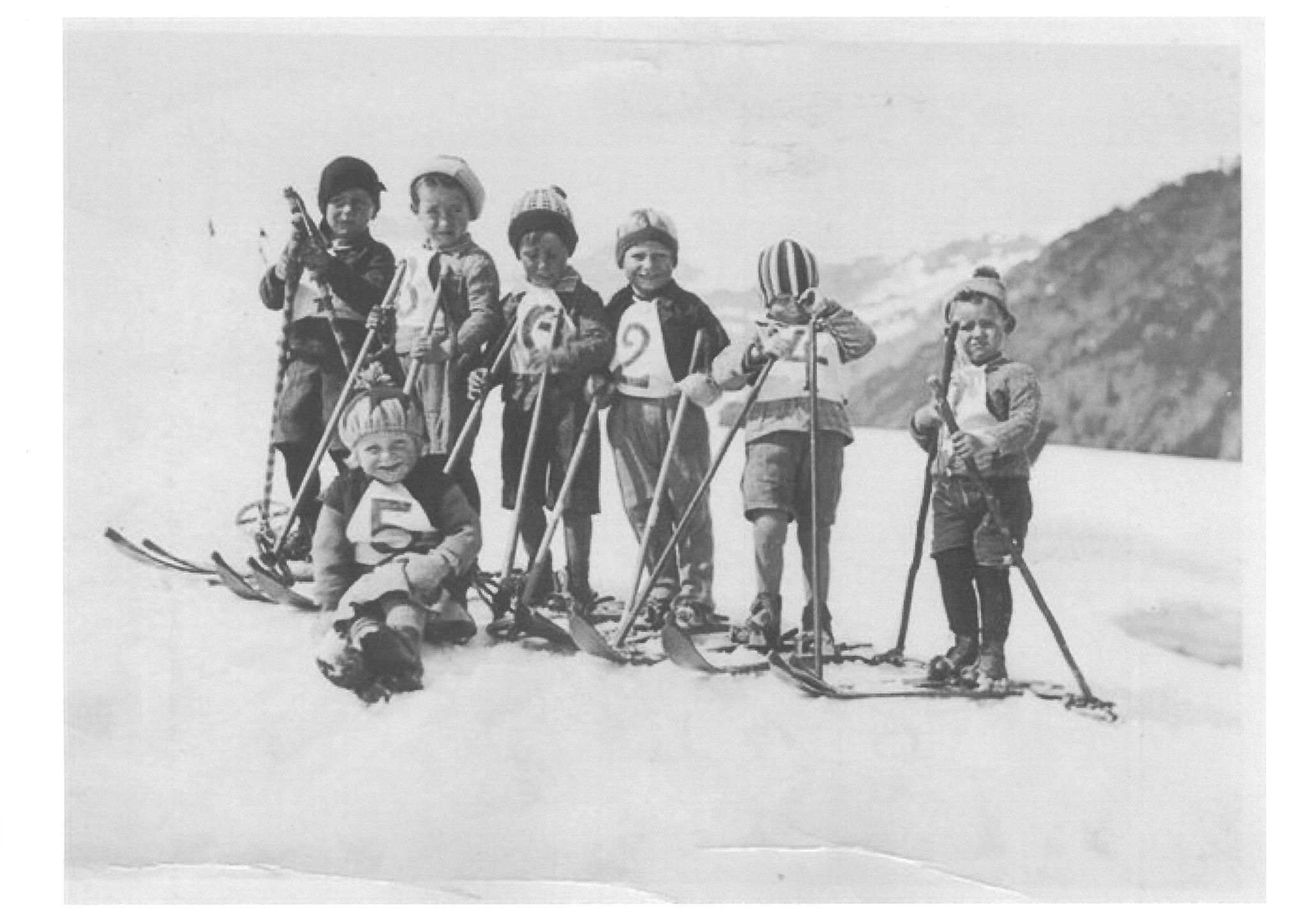
An exhibition in Warth on the village's skiing history, in the region where the ski pioneer priest Johann Müller was active around 1900.
Skimuseum Warth
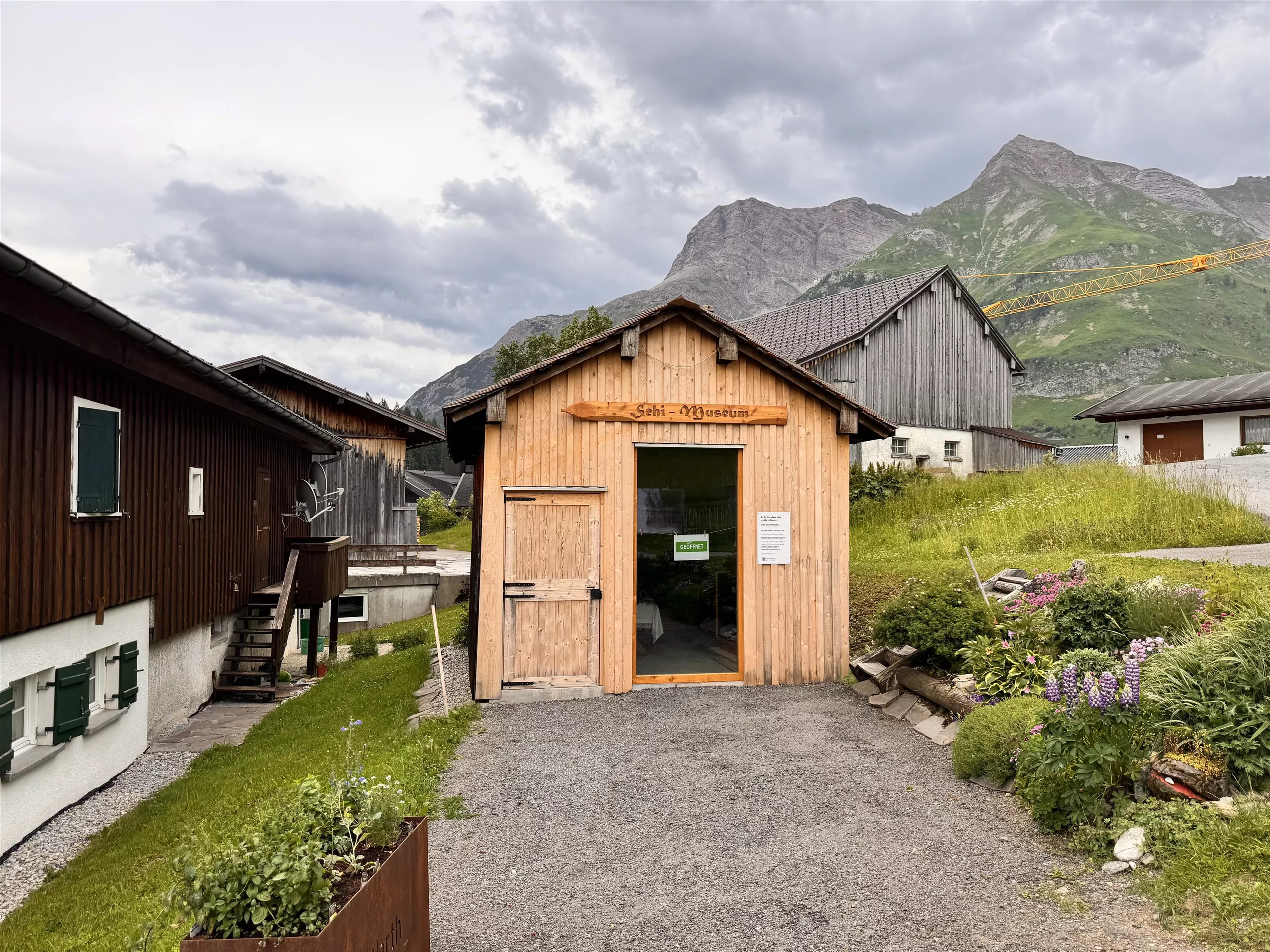
A small museum at Warth am Arlberg tracing the early days of skiing in the Arlberg villages with equipment and photographs.
Hochtannbergpass
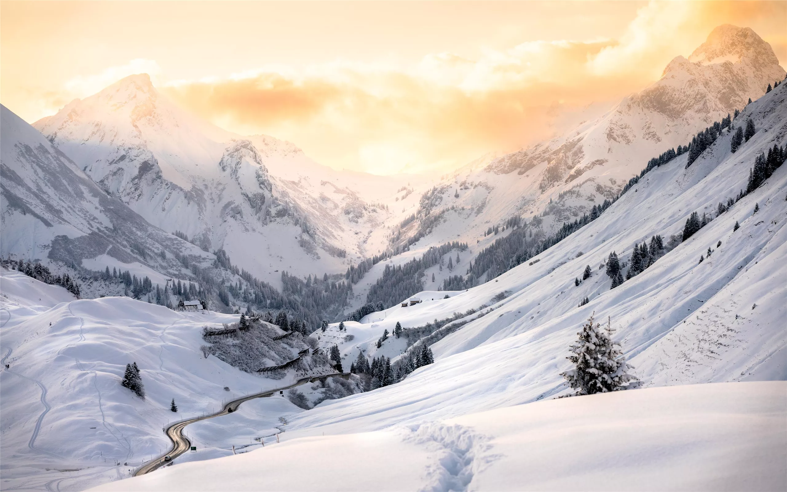
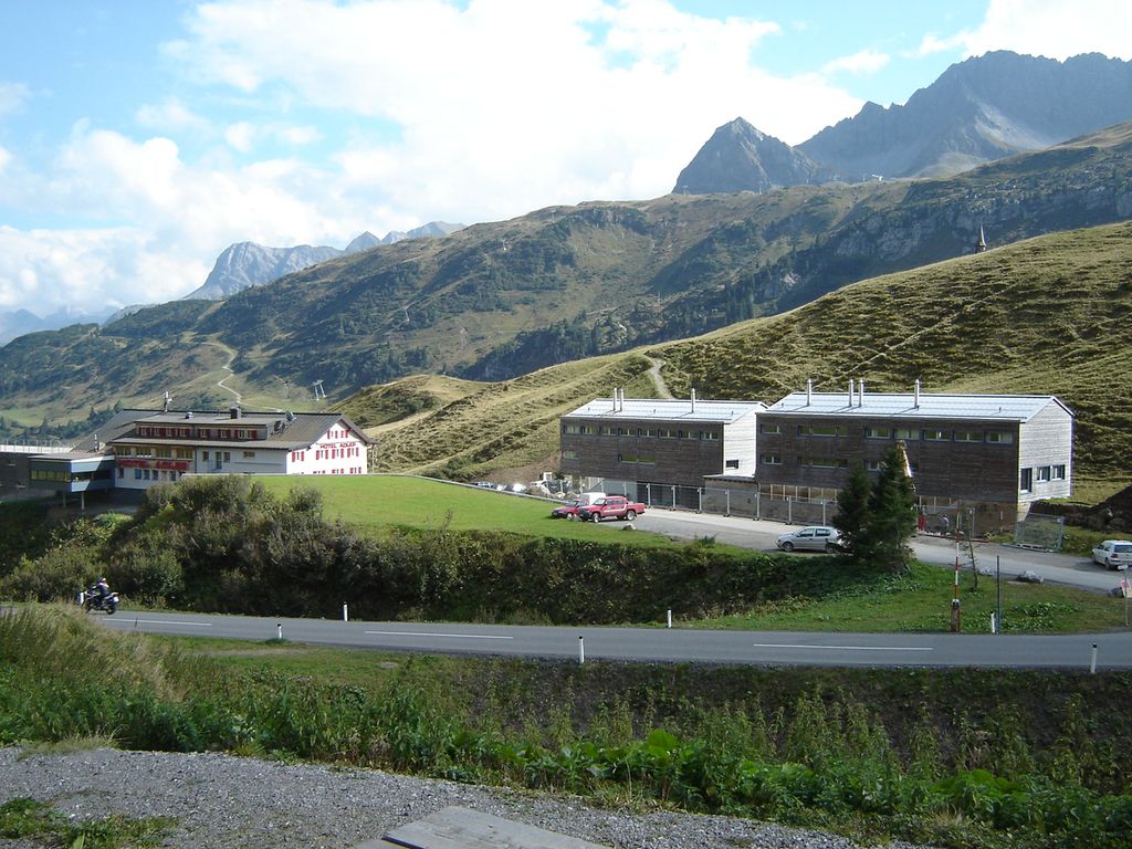
The pass that separates the Allgäu Alps from the Lechquellen mountains and carries the European main watershed.
Punschhütte
A small hut near the Warth slopes at around 1,500 m in Vorarlberg, serving drinks and Austrian dishes to skiers and walkers.
Widderstein Hütte 2.015 m
A small refuge at 2,015 m below the Grosser Widderstein near the Hochtannberg pass, serving regional dishes at the head of the Lech valley.
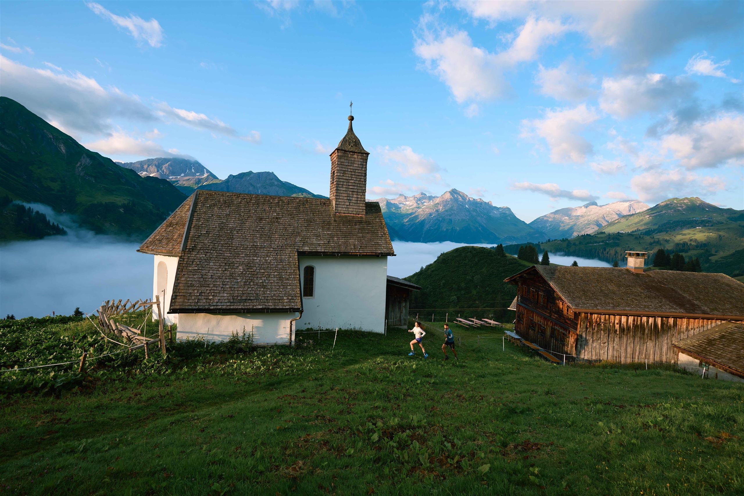
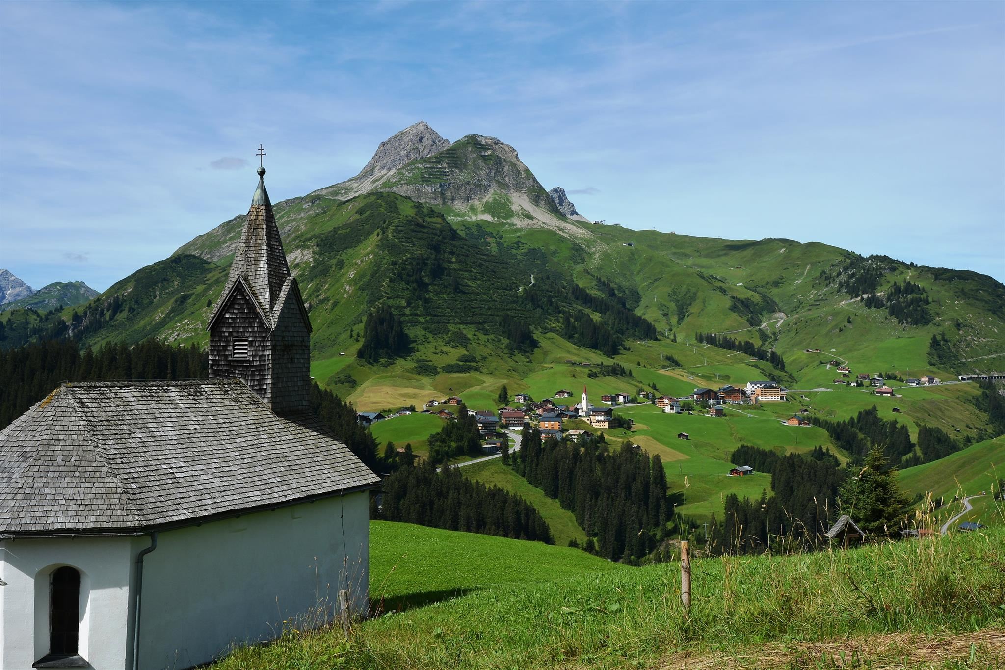
Kapelle Bürstegg "St. Martin"
The St Martin chapel at Bürstegg above Lech near Warth, serving what was once the highest year-round Walser settlement in the region.
Kapelle Gehren "Hl. Nikolaus"
A small chapel dedicated to St Nicholas at Gehren near Warth, one of the scattered hamlet chapels of the Tannberg's Walser settlements.
Kapelle Lechleiten "Hl. Wendelin"
A chapel dedicated to St Wendelin at Lechleiten above the young Lech river near Warth, serving the small Walser hamlet on the Tyrolean border.
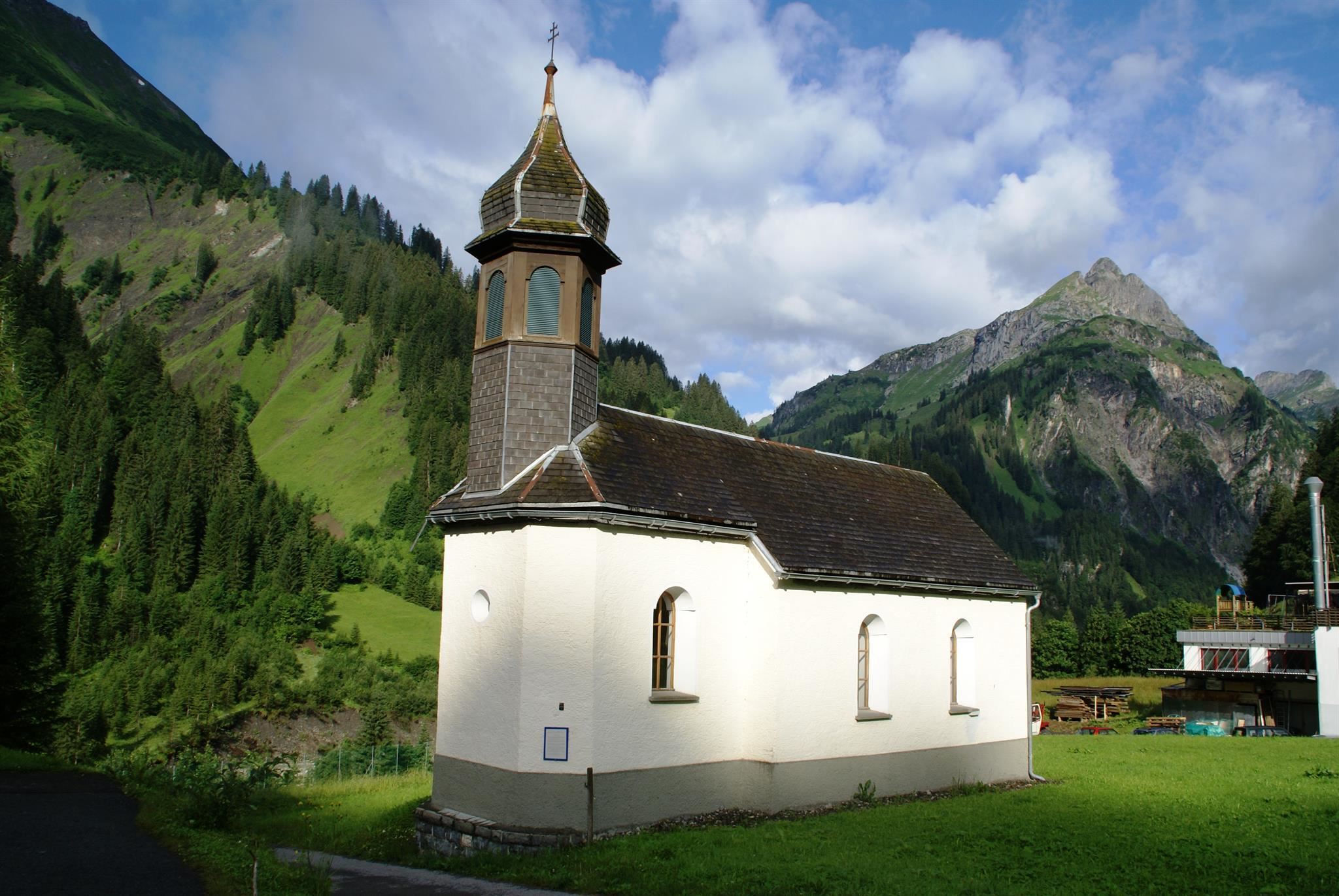
Kapelle Schröcken-Unterboden "Maria Verkündigung"
The Annunciation chapel at Unterboden near Schröcken, a small Walser hamlet chapel in the upper Bregenzerach valley.
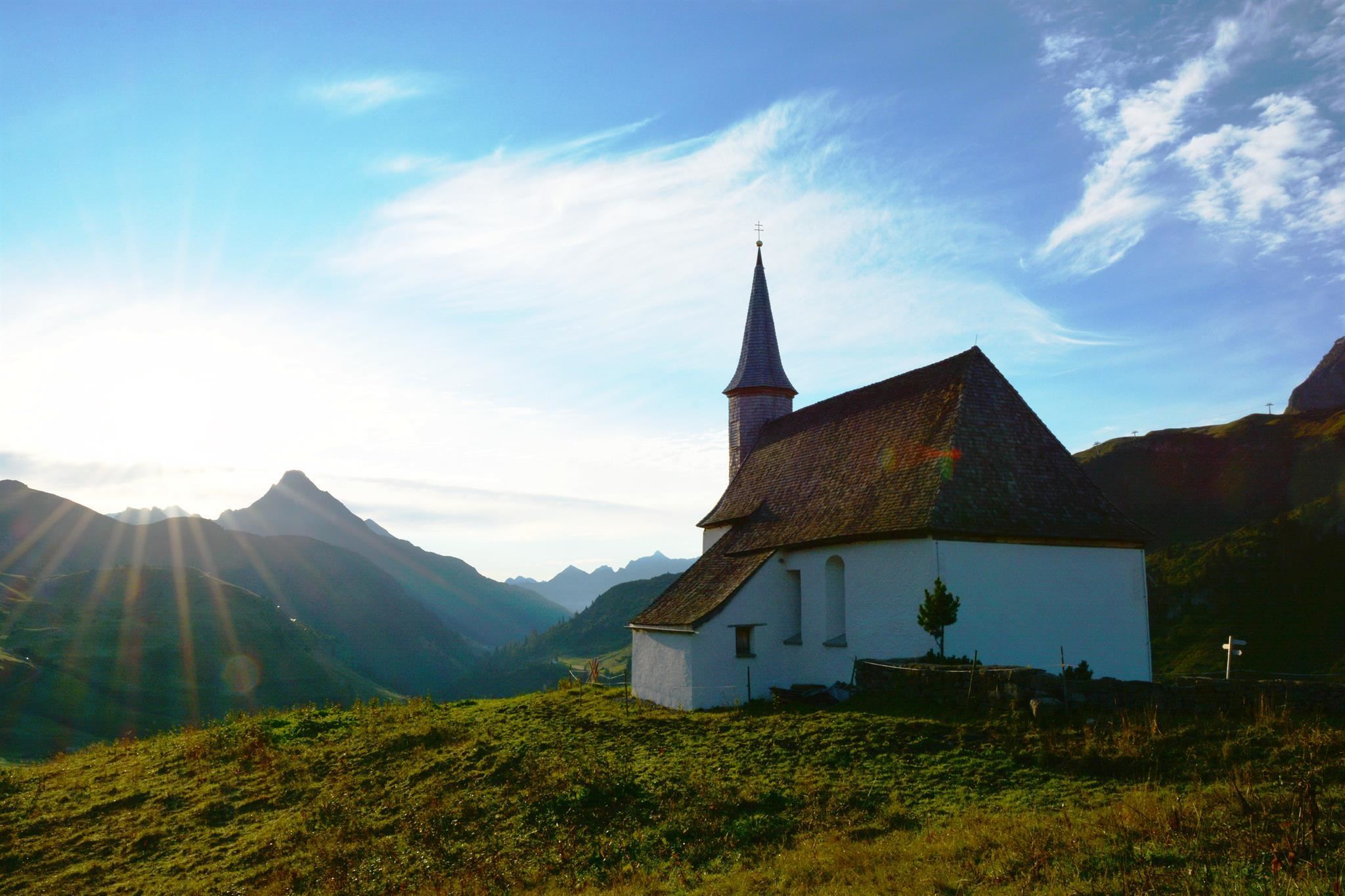
Simmel Kapelle "St. Jakobus"
The St Jakobus chapel below the Simmel near Warth, a small mountain chapel above the village at the head of the Lech valley.
Nothing of this kind in Warth.
Routes
50 routes, an even mix of activities · see the rest on warth-schroecken.com ↗
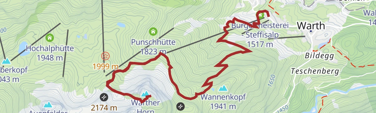
Warth | Karhorn Klettersteig Ost- und Westgrat
Both ridges of the Karhorn in one outing: the east side stays at A/B, while the west ridge holds B/C ground on exposed rock before the descent under the south face.
- 5.2 km
- Distance
- 597 m
- Ascent
- 4 h 31 min
- Duration
- 10
- Check-ins
Warth | Karhorn Klettersteig Ostgrat
The east ridge on its own, graded A/B the whole way from the Wartherhorn-Sattel to the top, with the normal route down the south side; the lift does the first climb.
- 4.7 km
- Distance
- 589 m
- Ascent
- 4 h 22 min
- Duration
- 10
- Check-ins
Klettersteig Karhorn
A ferrata suited to beginners by its length and grade — though the approach and descent still ask for stamina.
- 7.0 km
- Distance
- 629 m
- Ascent
- 6 h 7 min
- Duration
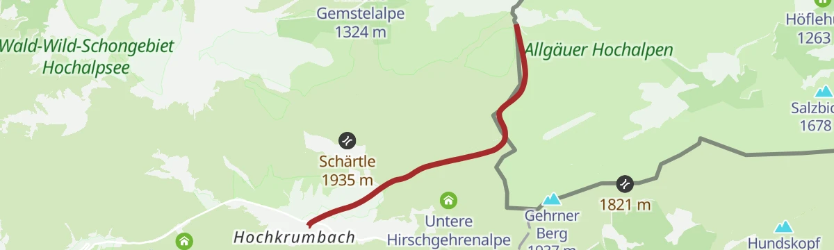
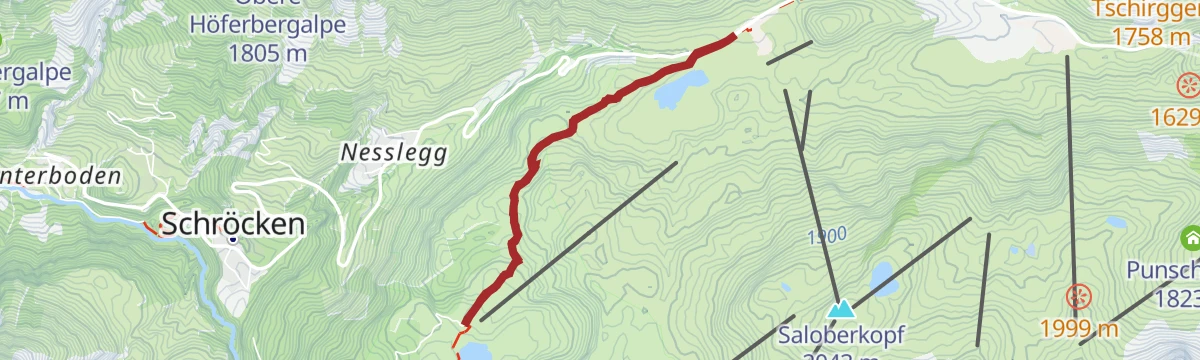
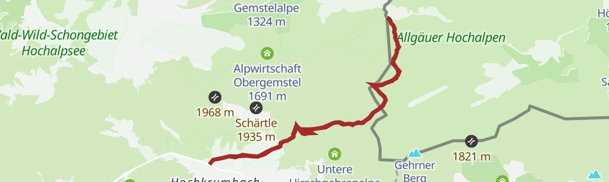
Open route Vorarlberg TourismusWarth | Alte Salzstraße nach Hochkrumbach
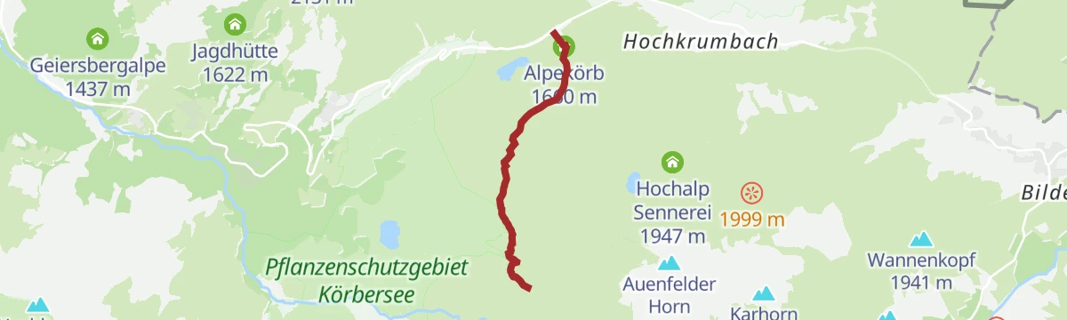
The old salt road from the village square in Warth through the Wolfegg parcel up to the Jägeralpe at Hochkrumbach, with a bus for the return.
- 3.3 km
- Distance
- 144 m
- Ascent
- 1 h 3 min
- Duration
- 27
- Check-ins
Warth | Geocaching Tour "Pfarrer Müller und das weiße Gold"
Cache-hunting route from the Steffisalp lift over the Saloberkopf, then past the Kalbelesee and the Weltfriedenskreuz on the Simmel and back to Warth on the old salt road.
- 11.7 km
- Distance
- 284 m
- Ascent
- 3 h 48 min
- Duration
- 86
- Check-ins
Warth | Lechschleife "Walserpfade und Gipfelblicke - Wandern zwischen Gestern und Heute"
Loop through the Lech valley's Walser past: from Warth by the Wannensee to the old settlement of Bürstegg, then over the Auenfeldsattel into the Auenfeld.
- 15.4 km
- Distance
- 371 m
- Ascent
- 4 h 52 min
- Duration
- 68
- Check-ins
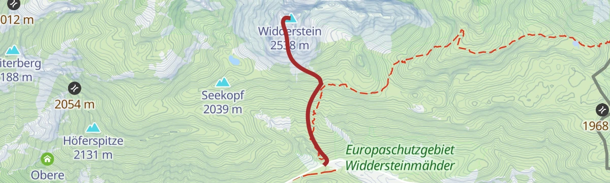
Hochtannbergpass - Widderstein
A ski tour from Hochtannbergpass to Widderstein, 839 m of climbing in 2 km to a high point of 2,511 m.
- 1.9 km
- Distance
- 0 m
- Ascent
- 0 m
- Descent
- 28 min
- Duration
Open route PeakVisor tTRL (OpenStreetMap piste_type=skitour)Warth | Bike ab Warth
A medium loop from the village over the Salobersattel and the Auenfeldsattel, linking the Jägeralpe with the alps on the Auenfeld.
- 11.6 km
- Distance
- 474 m
- Ascent
- 1 h 22 min
- Duration
- 66
- Check-ins
Warth | Bike & Hike Widderstein (2.533 m)
A ride over the Hochalppass to the Widdersteinhütte, the starting point for the walk up the Widderstein and its Südwestgipfel.
- 21.6 km
- Distance
- 1 273 m
- Ascent
- 3 h 31 min
- Duration
- 138
- Check-ins
St. Anton - Lech - Bregenzerwald - Bodensee
A long road stage crossing the Arlberg, the Flexenpass and the Losenpass on the way from Tirol down to the shore of Lake Constance.
- 87.4 km
- Distance
- 2 340 m
- Ascent
- 9 h 57 min
- Duration
- 175
- Check-ins
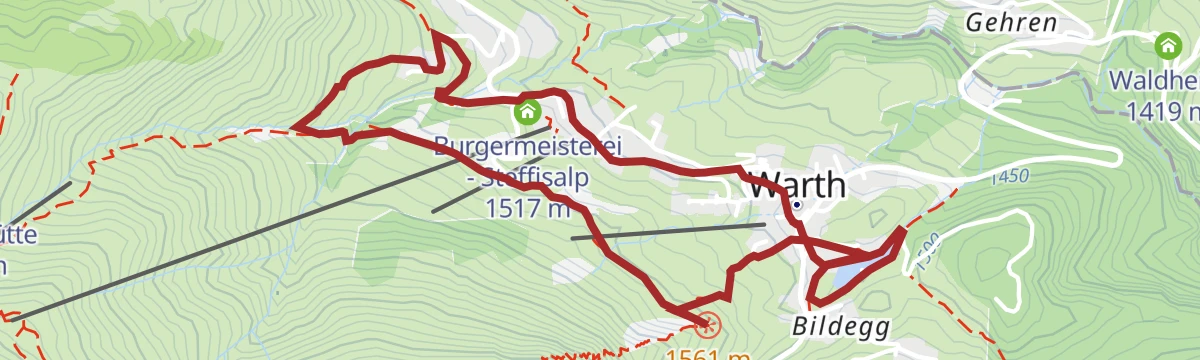
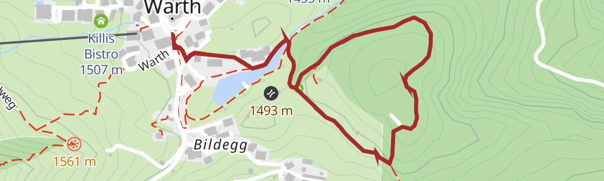
Warth | Dorfweg "Sichtbar"
Family-friendly round through Warth and the Wolfegg parcel, up to the Guggis lookout facing the Biberkopf, and back by way of the Seebachsee.
- 4.5 km
- Distance
- 100 m
- Ascent
- 1 h 18 min
- Duration
- 22
- Check-ins
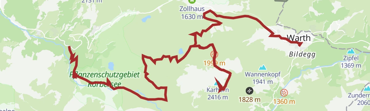
Warth | Vom Steffisalp-Express zum Körbersee, zum Kalbelesee und zurück nach Warth
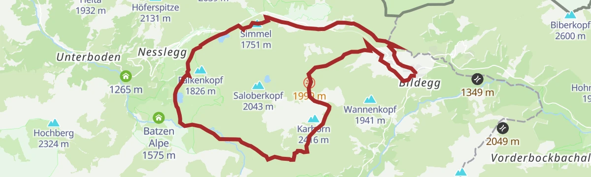
Long but gentle day from the top of the Steffisalp lift over the Saloberkopf and the Salobersattel to the Körbersee, returning by the Kalbelesee and the Jägeralpe.
- 13.9 km
- Distance
- 343 m
- Ascent
- 4 h 27 min
- Duration
- 84
- Check-ins
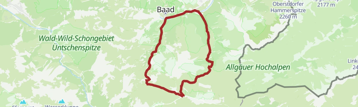
Warth | Rund um den Widderstein
Full circuit of the Widderstein from the Hochtannbergpass, crossing the Hochalppass into the Kleinwalsertal at Baad and coming back over the Gemstelpass by the Widdersteinhütte.
- 16.6 km
- Distance
- 1 110 m
- Ascent
- 7 h 29 min
- Duration
- 68
- Check-ins
Hohtannenbergpass - Höferspitze
From Hohtannenbergpass at 1,666 m, 522 m of ascent over 3.5 km to Höferspitze.
- 2.9 km
- Distance
- 0 m
- Ascent
- 0 m
- Descent
- 42 min
- Duration
Open route PeakVisor tTRL (OpenStreetMap piste_type=skitour)Warth | Widderstein Rundtour (2.533 m)
A circuit under the Widderstein by way of the Hochalppass, passing the Bärgunt Hochalpe and both of the Widderstein huts.
- 7.1 km
- Distance
- 881 m
- Ascent
- 1 h 59 min
- Duration
- 65
- Check-ins
Warth-Schröcken | Mountainbikerunde
The full round of the area, more than 1,000 m of climbing linking the Hochalphütte, the Auenfeld alps and the Untere Widdersteinhütte.
- 26.8 km
- Distance
- 1 064 m
- Ascent
- 3 h 23 min
- Duration
- 114
- Check-ins
Bike Trail Tirol Etappe 31
A stage linking the upper Lechtal with the Arlberg, crossing the Flexenpass above Lech and finishing high on the pass road.
- 34.7 km
- Distance
- 1 249 m
- Ascent
- 4 h 15 min
- Duration
- 89
- Check-ins
Warth | Rundwanderung nach Gehren & Lechleiten
Easy round from the village square in Warth out to the hamlets of Gehren and Lechleiten, with a path back along the valley.
- 6.3 km
- Distance
- 204 m
- Ascent
- 1 h 60 min
- Duration
- 18
- Check-ins
Warth | Hochkrumbacher Rundweg
Round from the Jägeralpe up to the Hochalphütte and over the Saloberkopf, with the small Panoramasee mirroring the Widderstein, then down to the Salober car park.
- 8.7 km
- Distance
- 458 m
- Ascent
- 3 h 17 min
- Duration
- 67
- Check-ins
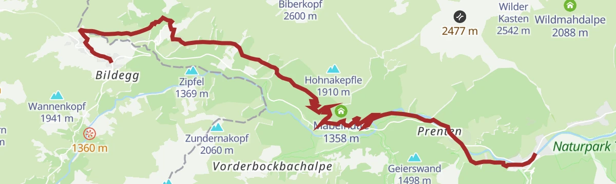
Lechweg - Gemütliche Variante - Etappe 3 - Warth bis Steeg
Stage 3 of the Lechweg in its gentler variant, following the young Lech downstream from Warth to Steeg with broad views over the upper Lechtal and stops such as the Walserstube.
- 15.5 km
- Distance
- 283 m
- Ascent
- 4 h 40 min
- Duration
- 18
- Check-ins
Jägeralpe - Geißhorn
From Jägeralpe at 1,598 m, 4.2 km and 772 m of climbing to Geißhorn at 2,358 m.
- 3.7 km
- Distance
- 0 m
- Ascent
- 0 m
- Descent
- 54 min
- Duration
Open route PeakVisor tTRL (OpenStreetMap piste_type=skitour)Warth | Widderstein (2.533 m)
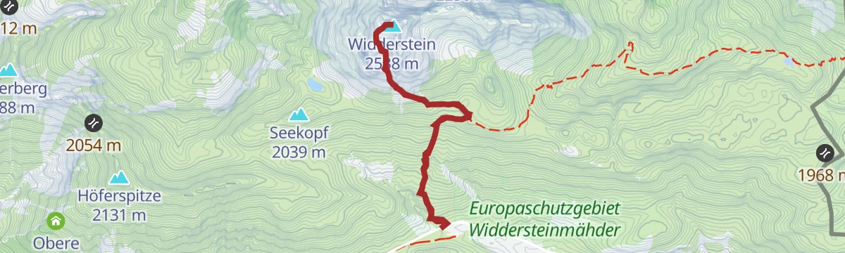
A hard climb from the valley to the Widdersteinhütte at 2,009 m, the last shelter below the Widderstein itself.
- 6.1 km
- Distance
- 890 m
- Ascent
- 1 h 58 min
- Duration
- 49
- Check-ins
Warth | Bike & Hike Wartherhorn (2.256 m)
Alp roads lead over the Saloberkopf past the Jägeralpe to the huts at Hochalp, from where the Warther Horn is reached on foot.
- 20.6 km
- Distance
- 898 m
- Ascent
- 2 h 46 min
- Duration
- 112
- Check-ins
Warth | Bike & Hike Geißhorn (2.366 m)
From Warth by the old salt road and the Tschirggen, then on foot to the 2,366 m Geißhorn.
- 24.8 km
- Distance
- 1 081 m
- Ascent
- 3 h 18 min
- Duration
Open route Vorarlberg TourismusWarth | Vom Hochtannbergpass über den Salobersattel zur Auenfelder Hütte
Short there-and-back from the Hochtannbergpass, passing the base of the Salober-Jet on the way up to the Auenfelder Hütte.
- 2.8 km
- Distance
- 123 m
- Ascent
- 53 min
- Duration
- 18
- Check-ins
Warth-Schröcken | Wanderung rund um das Karhorn
Circuit under the walls of the Karhorn, going by Bürstegg to the Auenfeldsattel and back over the Salobersattel and the Hochalphütte.
- 13.6 km
- Distance
- 569 m
- Ascent
- 5 h 2 min
- Duration
- 65
- Check-ins
Warth | Große Karhornrunde
The wide circuit of the Karhorn from the village square in Warth, following the Lechweg and the Rauhgehrenweg.
- 20.4 km
- Distance
- 1 025 m
- Ascent
- 7 h 28 min
- Duration
Open route Vorarlberg TourismusJägeralpe - Karhorn
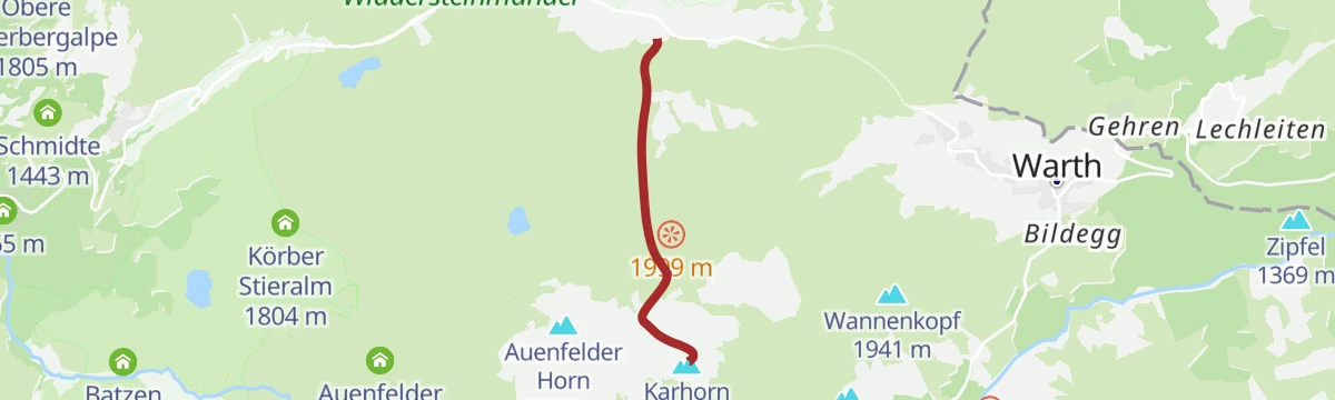
From Jägeralpe at 1,583 m, 2.4 km and 776 m of climbing to Karhorn at 2,363 m.
- 2.4 km
- Distance
- 0 m
- Ascent
- 0 m
- Descent
- 35 min
- Duration
Open route PeakVisor tTRL (OpenStreetMap piste_type=skitour)Schröcken | Tannberg - Runde
A moderate circuit on the high pastures above Schröcken, crossing the Salobersattel and passing the Auenfelder Hütte and Batzen Alpe.
- 15.0 km
- Distance
- 665 m
- Ascent
- 1 h 57 min
- Duration
- 38
- Check-ins
Warth | Bike & Hike Karhorn (2.416 m)
A climb from the Tannberg to the Hochalphütte and the Hochalp Sennerei, with the last stretch up to the Karhorn done on foot.
- 22.4 km
- Distance
- 1 125 m
- Ascent
- 3 h 17 min
- Duration
- 109
- Check-ins
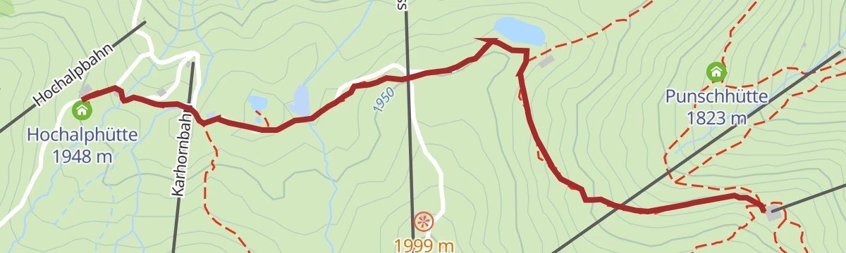
Warth | Vom Steffisalp-Express zur Hochalphütte
With the lift doing the climbing, a level 1.8 km walk out to the Hochalphütte, where you can stop for food and drink.
- 1.8 km
- Distance
- 79 m
- Ascent
- 34 min
- Duration
- 17
- Check-ins
Alpine Hüttenwanderung Bregenzerwald | Widdersteingebiet (Etappe 3)
Final day of the three-day Widderstein hut walk, linking the Widdersteinhütte and the Mindelheimer Hütte over three passes: the Gemstelpass, the Koblatpass and the Schrofenpass.
- 13.7 km
- Distance
- 563 m
- Ascent
- 5 h 22 min
- Duration
- 64
- Check-ins
Schröcken | Tannberg Runde 1 mit dem Mountainbike
A gentler version of the plateau loop above Schröcken, taking in the Alpekörb, the Salobersattel and the alps of the Auenfeld.
- 13.9 km
- Distance
- 540 m
- Ascent
- 1 h 44 min
- Duration
- 38
- Check-ins
Warth | Bike & Hike Bürstegg
A bike-and-hike outing above Warth, riding to the Auenfeld alps and the Hochalp Sennerei before the walk over the Saloberkopf to Bürstegg.
- 22.5 km
- Distance
- 851 m
- Ascent
- 2 h 52 min
- Duration
- 104
- Check-ins
Schröcken | Von See zu See. Zum schönsten Platz Österreichs
Lake-to-lake there-and-back on a well-made path, from the Kalbelesee on the Hochtannberg across to the Körbersee.
- 5.6 km
- Distance
- 181 m
- Ascent
- 1 h 45 min
- Duration
- 15
- Check-ins
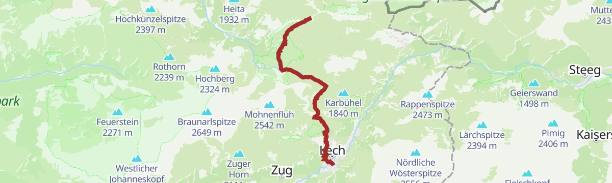
Warth | Vom Hochtannbergpass über den Körbersee nach Lech
Point-to-point from the Hochtannbergpass by the Körbersee, then across the Auenfeld meadows and over Oberlech down into Lech.
- 11.3 km
- Distance
- 287 m
- Ascent
- 3 h 33 min
- Duration
- 60
- Check-ins
Warth | Sonnenaufgangstour Wartherhorn (2.256 m)
A sunrise ride from the village huts up beside the Steffisalp lifts to the Wartherhorn-Sattel, with the summit a short walk further.
- 7.5 km
- Distance
- 827 m
- Ascent
- 1 h 38 min
- Duration
- 24
- Check-ins
Warth-Schröcken | Bike & Hike Widdersteinhütte
A longer approach from Schröcken over the Salobersattel and across the Auenfeld to the two huts under the Widderstein.
- 17.8 km
- Distance
- 672 m
- Ascent
- 2 h 18 min
- Duration
- 101
- Check-ins
Warth | Vom Kalbelesee zum Körbersee und retour
A 4.8 km out-and-back between two lakes on the Hochtannberg, with the Berghotel at the Körbersee for a break before you retrace the path.
- 4.8 km
- Distance
- 139 m
- Ascent
- 1 h 29 min
- Duration
- 12
- Check-ins
Warth-Schröcken | Auf den Spuren der Walser
Walser-history route from Schröcken by way of the Alpe Felle and the Körbersee to Warth, with the Jägeralpe near the finish.
- 12.6 km
- Distance
- 596 m
- Ascent
- 4 h 13 min
- Duration
- 56
- Check-ins
Warth | Geißhorn (2.366 m)
A steep track ride up past the Obere Hirschgehrenalpe to the Koblatpass at 2,054 m, with 750 m of climbing in barely 10 km.
- 10.4 km
- Distance
- 775 m
- Ascent
- 1 h 55 min
- Duration
- 20
- Check-ins
Schröcken | Bike & Hike Juppenspitze (2.412 m)
A bike-and-hike route from Schröcken across the Auenfeld alps, riding as far as the Hochalphütte before the final walk to the summit.
- 30.5 km
- Distance
- 1 634 m
- Ascent
- 4 h 27 min
- Duration
- 97
- Check-ins
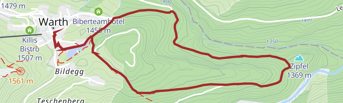
Warth | Großer Waldrundweg
Woodland round from the village square in Warth by way of the Seebachsee, then up onto forest tracks on the slopes above the village.
- 4.0 km
- Distance
- 145 m
- Ascent
- 1 h 17 min
- Duration
- 9
- Check-ins
Warth | Vom Hochtannbergpass über den Salobersattel zur Auenfelderhütte und retour über den Körbersee
Round from the Hochtannbergpass over the Salobersattel to the Auenfelder Hütte, then along the Auenfeld and back by the Körbersee and the Kalbelesee.
- 9.1 km
- Distance
- 253 m
- Ascent
- 2 h 46 min
- Duration
- 52
- Check-ins
Warth-Schröcken | Seven Summits Week (Etappe 4 von 4)
The closing stage of the week, climbing from Schröcken past the Berghaus and the Obere Höferbergalpe towards the Höferspitze.
- 7.0 km
- Distance
- 478 m
- Ascent
- 1 h 30 min
- Duration
- 15
- Check-ins
Warth | Bike & Hike Geißhorn (2.366 m)
A long ride up past the Jägeralpe and over the Salobersattel to the Koblatpass, where the track ends and the walk to the summit begins.
- 24.8 km
- Distance
- 1 081 m
- Ascent
- 3 h 18 min
- Duration
- 93
- Check-ins
Warth | Kleiner Waldrundweg
Under two kilometres from the village square in Warth around the Seebachsee, with a gravel track for the one short rise.
- 1.9 km
- Distance
- 33 m
- Ascent
- 31 min
- Duration
- 9
- Check-ins
Warth | 3 Pässe Tour (Koblat-, Gemstel- und Hochalppass)
Three passes in one day from Gehren: first the Koblatpass, then the Gemstelpass, and after the Widdersteinhütte the Hochalppass with its lake, finishing at the Hochtannbergpass.
- 12.1 km
- Distance
- 823 m
- Ascent
- 5 h
- Duration
- 48
- Check-ins
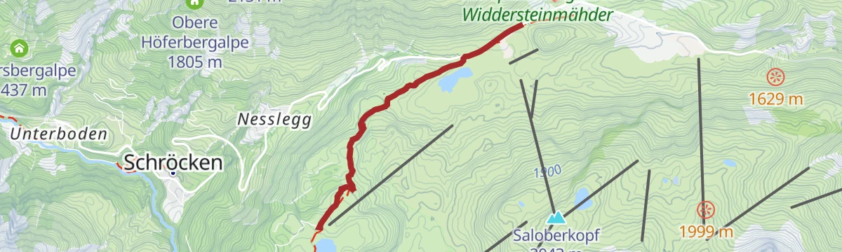
Warth | Höferspitze (2.131 m) ab Hochtannbergpass
A short, sharp climb from the Hochtannbergpass past the Untere Widdersteinhütte, over 500 m of ascent in barely 6 km.
- 5.6 km
- Distance
- 485 m
- Ascent
- 1 h 10 min
- Duration
- 14
- Check-ins
Warth-Schröcken | Bike & Hike Körbersee
A ride across the Auenfeld and over the Salobersattel to the Körbersee, with the Berghotel standing on the shore at 1,671 m.
- 16.5 km
- Distance
- 428 m
- Ascent
- 1 h 57 min
- Duration
- 90
- Check-ins
No routes of this kind in Warth yet.
The region's own picks
Featured route
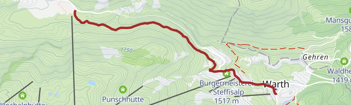
Warth | Alte Salzstraße nach Hochkrumbach
The old salt road from the village square in Warth through the Wolfegg parcel up to the Jägeralpe at Hochkrumbach, with a bus for the return.
Planning a trip to Warth?
Everything else Vorarlberg has, in one place


Take Warth with you into the mountains
Every route on this page with 3D terrain, GPX navigation and offline maps — including the valleys with no signal.
Data sources
- Official website: warth-schroecken.com ↗
- Routes and highlights: Warth-Schröcken Tourismus, Lechtal Tourismus, PeakVisor / OpenStreetMap, PeakVisor tTRL (OpenStreetMap piste_type=skitour), Vorarlberg Tourismus, St. Anton am Arlberg, Bregenzerwald Tourismus
- Published as open data by the tourist boards named above.
- Region summary generated from the board's own material.
