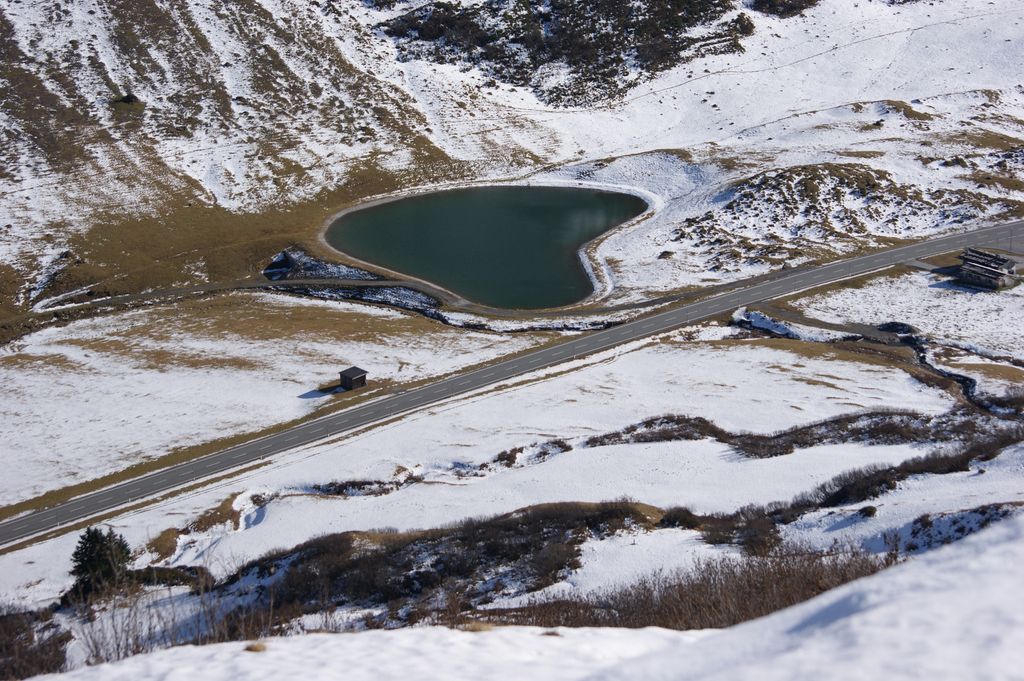
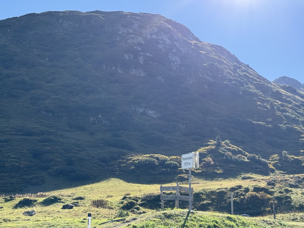
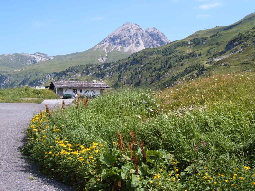
Flexen Pass is a high mountain pass in the Austrian Alps in the Bundesland of Vorarlberg. It is at an elevation of 1,773 metres (5,817 ft). It connects the upper Lech valley between Warth, Lech, and Zürs with the Klostertal near Stuben. The pass road was built in 1940 and leads to the road over the Arlberg pass. It became a necessity when the Arlberg railroad was opened in 1884. Before that, traffic mostly went over the Tannberg by way of Oberstdorf. The first stretch of road was opened in October 1897 up to the pass. At first, the road was shielded from the danger of avalanche by protective covers, but eventually a tunnel was built, and then a bridge over the Hölltobel. The road was only 3 metres (10 ft) wide. In 1909 the road was finished into the Lech Valley in Tyrol. Since 1936 the pass has been open in winter. Since 1948, funds from the Marshall Plan have been utilized to improve the road and make it safer from avalanches. In 2000, plans were unveiled for a tunnel from Stuben to Zürs. However, the plans were tabled for lack of funds.
We use GPS information embedded into the photo when it is available.
3D mountains overlay
Adjust mountain panorama to perfectly match your photos because recorded by camera photo position might be imprecise.
Move tool
Rotate tool
Zoom
More customization
Choose which peak labels should make into the final photo and what photo title should be.
Next
Photo Location
Satellitte
Flat map
Relief map
Latitude
Longitude
Altitude
OR
Latitude
°'''
Longitude
°'''
Apply
Register Peak
Peak Name
Latitude
Longitude
Altitude
Register
Teleport
PeakVisor
This 3D model of Sagarmatha National Park in Nepal was made using the PeakVisor app topographic data. The mobile app features higher precision models worldwide, more topographic details, and works offline. Download PeakVisor maps today.
Download OBJ model
PeakVisor
The download should start shortly. If you find it useful please consider supporting the PeakVisor app.
PeakVisor for iOS and Android
Be a superhero of outdoor navigation with state-of-the-art 3D maps and mountain identification in the palm of your hand!


.jpg)