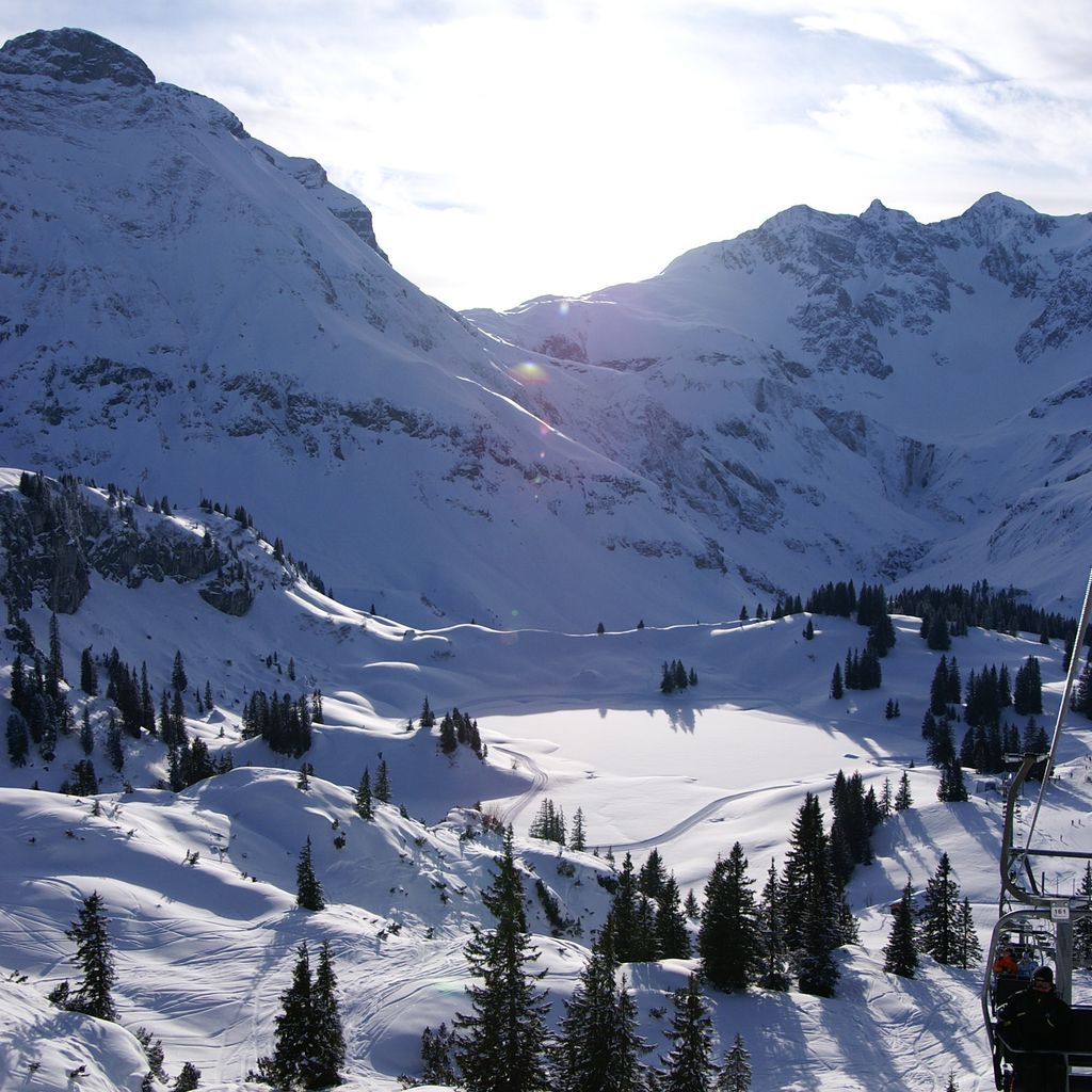
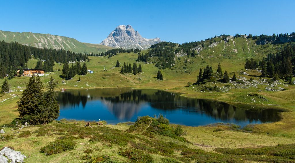
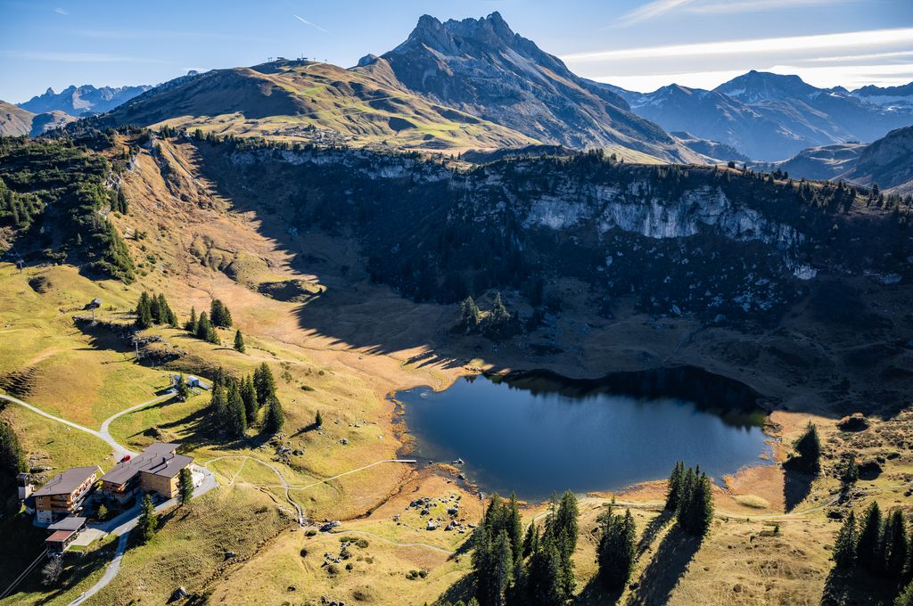
The picturesque lake Körbersee is east of the village Schröcken at 1600 m amsl in Austria. It lies within the "Lechtaler" Alps in Vorarlberg. The lake can only be reached on foot; estimated walking time 45 minutes. With a surface of ~ 5 ha it is a smaller lake in the province. The water possesses excellent drinking water quality and gives a protected living space to fishes and rare plants. The mighty "Widderstein" mount is reflected by the clear, cold water and is a remarkable view for hikers. Near the lake alpine economy can be found; perfect for small snacks. A little bit deeper is another lake called "Kalbelesee". Its data are almost identical with the Körbersee. The whole lake area is a nature reserve.
We use GPS information embedded into the photo when it is available.
3D mountains overlay
Adjust mountain panorama to perfectly match your photos because recorded by camera photo position might be imprecise.
Move tool
Rotate tool
Zoom
More customization
Choose which peak labels should make into the final photo and what photo title should be.
Next
Photo Location
Coordinates work here too — paste them as 69.72728, 20.61890 and press Enter
Satellitte
Flat map
Relief map
Latitude
Longitude
Altitude
OR
Latitude
°'''
Longitude
°'''
Apply
Register Peak
Peak Name
Latitude
Longitude
Altitude
Register
Teleport
PeakVisor
This 3D model of Sagarmatha National Park in Nepal was made using the PeakVisor app topographic data. The mobile app features higher precision models worldwide, more topographic details, and works offline. Download PeakVisor maps today.
Download OBJ model
PeakVisor
The download should start shortly. If you find it useful please consider supporting the PeakVisor app.
PeakVisor for iOS and Android
Be a superhero of outdoor navigation with state-of-the-art 3D maps and mountain identification in the palm of your hand!