










Curated by APT Valli di Sole, Peio e Rabbi
Vermiglio
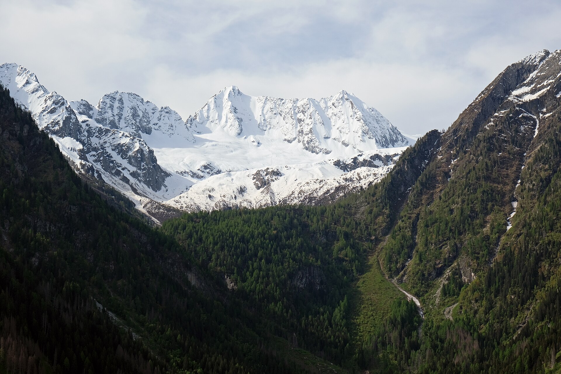
Trentino village whose outlying hamlet, the Tonale pass, was the frontier between Austria-Hungary and Italy until 1918; a war memorial stands there.
Photo: kallerna · CC BY-SA 4.0 licence
- 3Highlights
- 39Routes
- Featured summit · Cima Presanella
Highlights
All 3 from neighbouring places
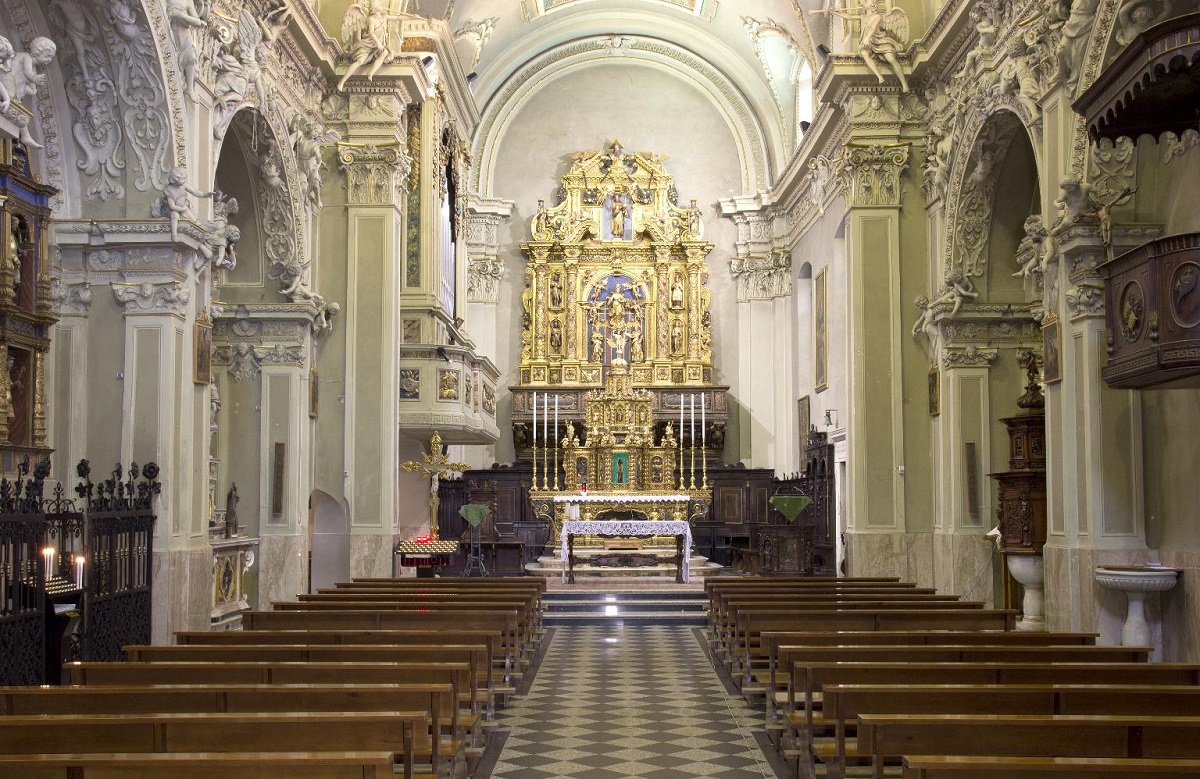
Chiesa della Santissima Trinità
10.6 km away, in Ponte di Legno
A sixteenth-century church on a knoll in the middle of Ponte di Legno, at the head of the Val Camonica.
Parco Nazionale dello Stelvio
10.8 km away, in Ponte di Legno
Italy's largest national park, spanning Lombardy, Trentino and South Tyrol around the Ortles-Cevedale glaciers.
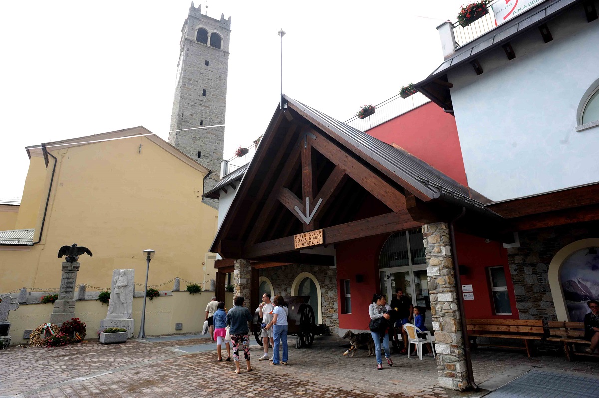
Museo della Guerra Bianca in Adamello di Temù
13.9 km away, in Temù
A museum at Temù on the White War fought on the Adamello glaciers between 1915 and 1918.
Nothing of this kind in Vermiglio.
Routes
Tonale Pass and Fort Mero
An out-and-back from the San Bartolomeo hospice to Forte Mero, an Austro-Hungarian work of 1911-13 that tied the Zaccarana and Presanella forts together.
- 3.7 km
- Distance
- 20 m
- Ascent
- 1 h 1 min
- Duration
- 14
- Check-ins
Open route APT Valli di Sole, Peio e RabbiRifugio Mandron «Città di Trento» alpine hut
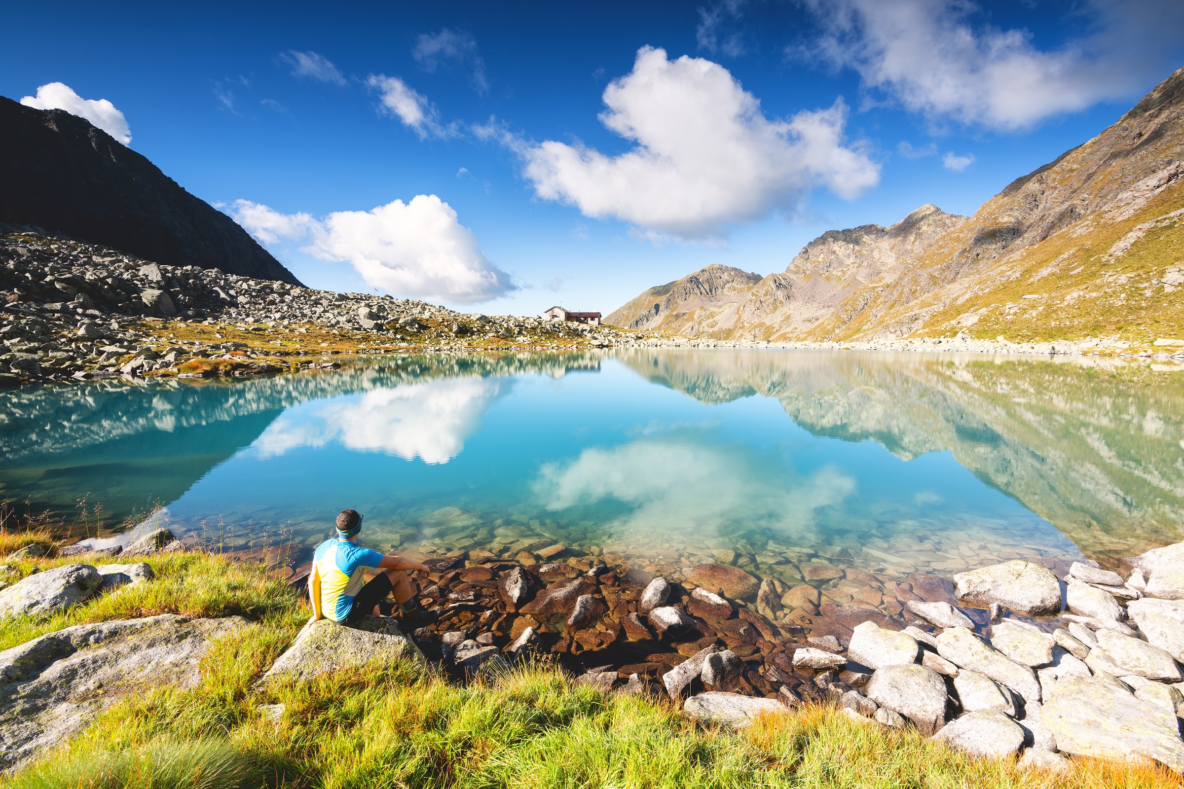
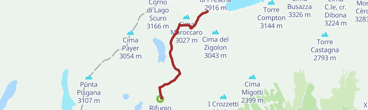
A walk to the Mandron hut by its lakes, facing the Lobbie and Mandron ice of the Adamello, past trenches, observation posts and a small war cemetery.
- 6.2 km
- Distance
- 525 m
- Ascent
- 3 h 21 min
- Duration
- 219
- Check-ins
 La Sgualdrina 3 006 m
 Passo Presena 2 990 m
 Ski Bar Presena 3000 - Panorama 3000 Glacier 2 999 m
- Rifugio Mandrone 2 442 m
- Bocchetta degli Sciatori 2 987 m
Open route APT Valli di Sole, Peio e RabbiFlower Path «Flower Path»
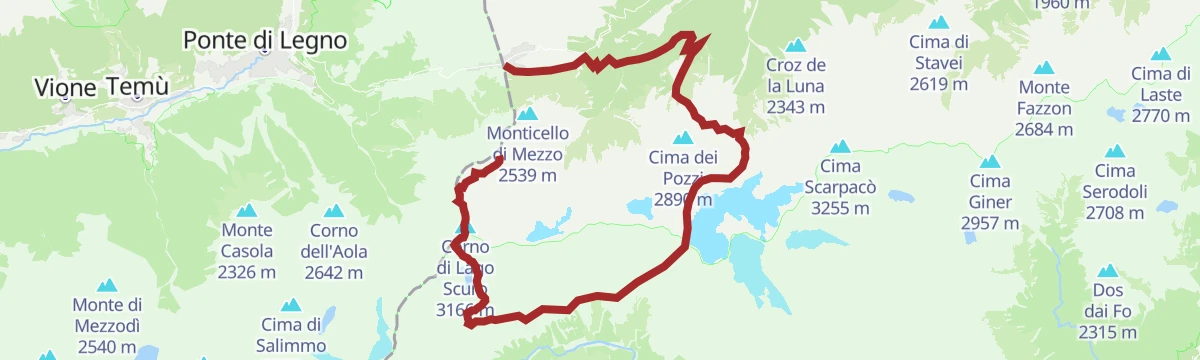
A wartime route above Vermiglio along old trenches, fixed steel cables and wire footbridges, with wide views; proper mountain equipment and fitness are needed.
- 10.1 km
- Distance
- 1 038 m
- Ascent
- 6 h 21 min
- Duration
- 373
- Check-ins
- La Sgualdrina 3 006 m
- Corno di Lago Scuro 3 166 m
- Corno di Casamadre 3 090 m
- Il Gendarme 3 044 m
- Passo Presena 2 990 m
- Ski Bar Presena 3000 - Panorama 3000 Glacier 2 999 m
- +8
Open route APT Valli di Sole, Peio e RabbiSki mountaineering at the Presena Glacier
A short ski tour from Passo Paradiso, reached by cable car, climbing past the Monticello lakes to Passo Presena at 2,753 metres.
- 3.4 km
- Distance
- 151 m
- Ascent
- 148 m
- Descent
- 1 h 2 min
- Duration
- 77
- Check-ins
Open route APT Valli di Sole, Peio e RabbiSki Mountaineering at Malga Saviana
A ski tour on the forest road above Vermiglio, through the Verniana farmsteads to Malga Saviana, with the snowbound upper Val di Sole in view.
- 10.2 km
- Distance
- 569 m
- Ascent
- 577 m
- Descent
- 3 h 14 min
- Duration
Open route APT Valli di Sole, Peio e RabbiSpring ski mountaineering in Adamello
A two-day glacier ski tour on the Adamello, started from the Tonale lifts that reach nearly 3,000 metres, without great technical demands.
- 14.7 km
- Distance
- 1 192 m
- Ascent
- 1 192 m
- Descent
- 5 h 9 min
- Duration
- 287
- Check-ins
- La Sgualdrina 3 006 m
- Passo Presena 2 990 m
- Ski Bar Presena 3000 - Panorama 3000 Glacier 2 999 m
- Rifugio Mandrone 2 442 m
- Rifugio ai Caduti dell'Adamello 3 025 m
- Passo della Lobbia Alta 3 013 m
- +2
Open route VisitTrentinoPresena Glacier
A short descent from the Presena hut to the Monticello lake, a glacial basin under the Presena ice.
- 3.5 km
- Distance
- 151 m
- Ascent
- 27 min
- Duration
- 131
- Check-ins
- Rifugio Passo Paradiso 2 581 m
- Passo Paradiso (o del Monticello) 2 600 m
- Capanna Presena 2 731 m
 Lago del Monticello 2 599 m
Open route APT Valli di Sole, Peio e RabbiFreeride al Passo del Tonale
Off-piste skiing in the Passo del Tonale and Presena glacier area, among the more sought-after freeride grounds in western Trentino.
- 7.7 km
- Distance
- 58 m
- Ascent
- 1 h 14 min
- Duration
- 152
- Check-ins
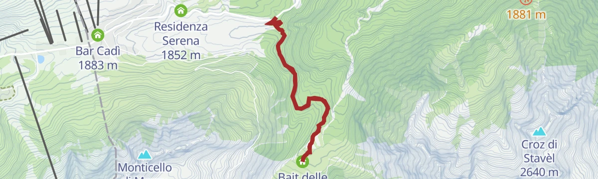
Epic Trail Great War Short N°705
A high mountain-bike route over the Passo del Tonale to the Bozzi hut and the Montozzo tarns.
- 53.2 km
- Distance
- 2 196 m
- Ascent
- 6 h 48 min
- Duration
- 159
- Check-ins
- Passo del Tonale 1 883 m
- Rifugio Angelino Bozzi 2 478 m
- Laghetti di Montozzo 2 471 m
- Il Rododendro 1 880 m
- Bar Cadì 1 883 m
- Bar Ristorante Nigritella 2 084 m
- +17
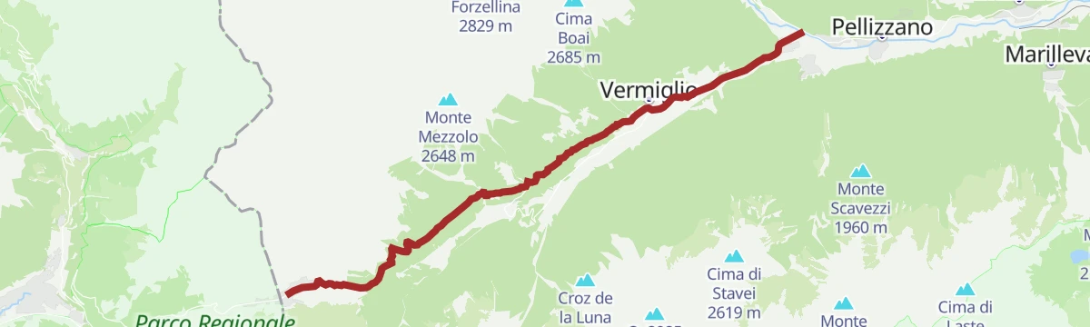
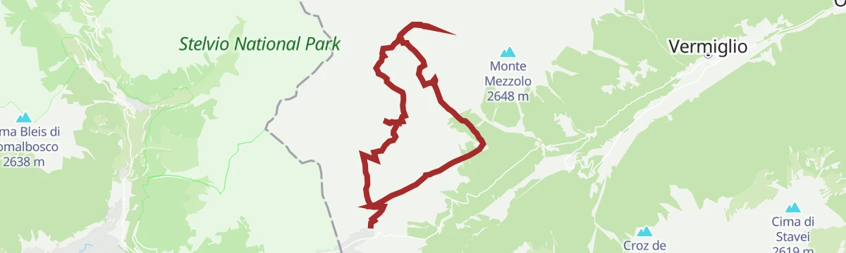
Open route APT Valli di Sole, Peio e RabbiAlpine Gravel Passo Tonale
A gravel ride up the upper Val di Sole from Mezzana through Vermiglio to the Passo del Tonale, returning past old Austro-Hungarian forts.
- 47.0 km
- Distance
- 1 234 m
- Ascent
- 5 h 20 min
- Duration
- 76
- Check-ins
- Passo del Tonale 1 883 m
- Hotel La Mirandola 1 976 m
- Bar Cadì 1 883 m
- Il Faita 1 824 m
- Malga Cadì 1 928 m
- Baita Velon 1 347 m
- +2
Open route APT Valli di Sole, Peio e RabbiTorbiera del Tonale
An easy walk over the peat bogs of the Tonale, a mosaic of dry ground, pools and running water carrying an unusually varied flora.
- 4.0 km
- Distance
- 82 m
- Ascent
- 1 h 9 min
- Duration
- 14
- Check-ins
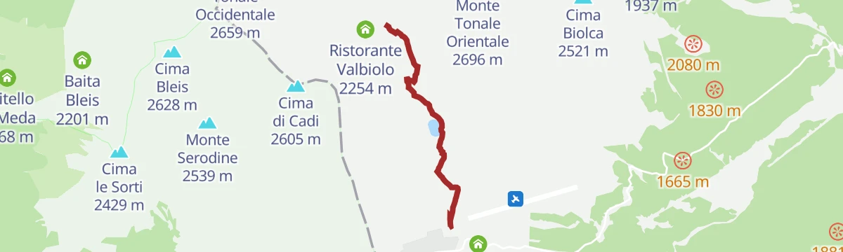
Open route APT Valli di Sole, Peio e RabbiTonale - Malga Valbiolo
A gentle path across high alpine meadows riddled with marmot burrows, facing the Presena glacier, to the top of the Valbiolo chairlift and its wooden playground.
- 9.3 km
- Distance
- 449 m
- Ascent
- 3 h 19 min
- Duration
- 60
- Check-ins
- Ristorante Valbiolo 2 254 m
- Hotel La Mirandola 1 976 m
- Bacino di Valbiolo 2 066 m
Open route APT Valli di Sole, Peio e RabbiPeace Trail - from Passo Tonale to Mandron Refuge
A long climb on SAT 281 to Passo Paradiso and the Paradiso gallery, a granite tunnel that sheltered soldiers, then past the Monticello lakes to the Mandron hut.
- 11.9 km
- Distance
- 1 137 m
- Ascent
- 5 h 60 min
- Duration
- 365
- Check-ins
- La Sgualdrina 3 006 m
- Passo Presena 2 990 m
- Ski Bar Presena 3000 - Panorama 3000 Glacier 2 999 m
- Rifugio Passo Paradiso 2 581 m
- Rifugio Mandrone 2 442 m
- Passo Paradiso (o del Monticello) 2 600 m
- +4
Open route APT Valli di Sole, Peio e RabbiSki Mountaineering at Malga Valbiolo
A short ski tour along an old moraine on Monte Tonale Orientale, past the medieval San Bartolomeo hospice to Malga Valbiolo, facing Presanella and the Adamello.
- 2.9 km
- Distance
- 314 m
- Ascent
- 0 m
- Descent
- 1 h 2 min
- Duration
- 26
- Check-ins
- Hotel La Mirandola 1 976 m
- Bacino di Valbiolo 2 066 m
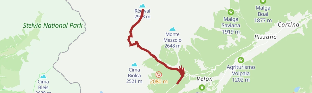
Open route APT Valli di Sole, Peio e RabbiSki mountaineering on Monte Redival
A sunny, high ski tour on Monte Redival with a wide summit panorama; the upper slopes are steep enough to need settled snow and practised skiers.
- 13.5 km
- Distance
- 1 344 m
- Ascent
- 1 343 m
- Descent
- 5 h 10 min
- Duration
- 6
- Check-ins
Open route VisitTrentinoPasso del Tonale
The road climb from the Val di Sole to the Passo del Tonale at 1,883 m, a thousand metres of gain in fifteen.
- 15.1 km
- Distance
- 1 031 m
- Ascent
- 1 h 59 min
- Duration
- 56
- Check-ins
- Passo del Tonale 1 883 m
- Bar Cadì 1 883 m
- Ufficio Informazioni Passo Tonale 1 870 m
- Hotel Locanda Locatori 1 843 m
- Chalet al Foss Alp Resort 1 430 m
- Residenza Serena 1 852 m
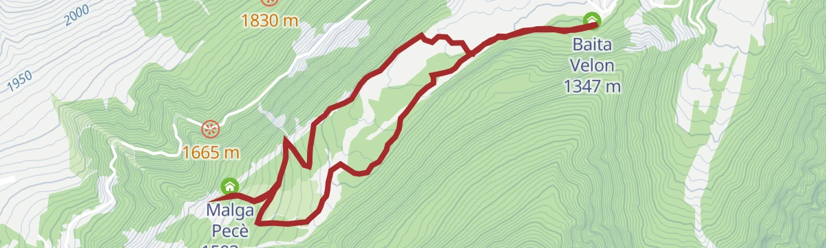
Open route VisitTrentinoBaita Velon- Malga Pecè
A level circuit on a dirt road following the Vermigliana stream to Malga Pecè, shaded by fir and pine for nearly its whole length.
- 5.9 km
- Distance
- 167 m
- Ascent
- 1 h 48 min
- Duration
- 6
- Check-ins
Open route APT Valli di Sole, Peio e RabbiRifugio Stavel «F. Denza» alpine hut
A climb to the Denza hut on the north side of Cima Presanella and Cima Vermiglio, among alpine lakes below the glaciers.
- 7.3 km
- Distance
- 668 m
- Ascent
- 4 h 11 min
- Duration
- 23
- Check-ins
Open route APT Valli di Sole, Peio e RabbiTrekking Adamello-Presanella
A long trek linking the Val di Sole with the Val Rendena, under the granite of Adamello and Presanella and the Vedretta del Mandrone, inside the Adamello-Brenta park.
- 28.7 km
- Distance
- 2 441 m
- Ascent
- 16 h 49 min
- Duration
- 259
- Check-ins
- Corno di Lago Scuro 3 166 m
- Corno di Casamadre 3 090 m
- Il Gendarme 3 044 m
- I Crozzetti 2 246 m
- Rifugio Passo Paradiso 2 581 m
- Rifugio Mandrone 2 442 m
- +11
Open route APT Valli di Sole, Peio e RabbiVal di Sole Cycle Path
A long valley cycle path beside the Noce, running down from Cogolo di Peio as far as Mostizzolo, with a side option into Val di Peio.
- 43.5 km
- Distance
- 365 m
- Ascent
- 4 h 24 min
- Duration
- 20
- Check-ins
- Mostizzolo 592 m
- Bucaneve 809 m
- Associazione sportiva 618 m
- Hotel Job 755 m
- Al cervo 896 m
- Bar ristorante pizzeria Kristall 892 m
- +3
Open route APT Valli di Sole, Peio e RabbiRNK4 Valpaia ai laghetti di Vermiglio
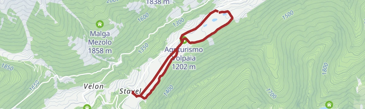
A flat, very short link from the Valpaia area to the small lakes of Vermiglio in the upper Val di Sole.
- 1.5 km
- Distance
- 0 m
- Ascent
- 23 min
- Duration
- 6
- Check-ins
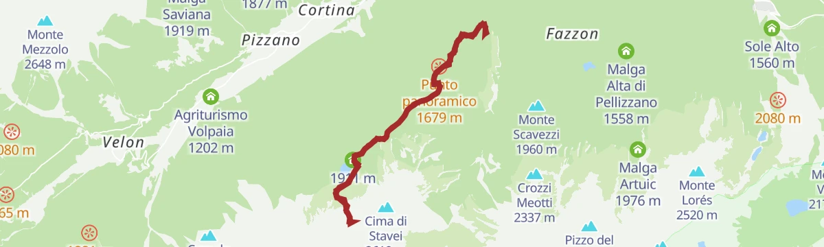
Open route Trentino FishingTonale Pass Fort Mero and Fort Zaccarana
From the San Bartolomeo hospice past Forte Mero and up 250 metres to Forte Zaccarana, partly open to visitors, looking across to Busazza and the Presanella.
- 9.1 km
- Distance
- 241 m
- Ascent
- 2 h 44 min
- Duration
- 14
- Check-ins
Open route APT Valli di Sole, Peio e RabbiSul ghiacciaio verso il Corno Bianco
A high glacier route for equipped ski mountaineers, crossing the ice to the summit of Corno Bianco above Vermiglio.
- 10.9 km
- Distance
- 1 020 m
- Ascent
- 5 h 34 min
- Duration
- 236
- Check-ins
Lago Barco L
A short, level walk at Lago Barco above Vermiglio in the upper Val di Sole.
- 913 m
- Distance
- 12 m
- Ascent
- 15 min
- Duration
- 3
- Check-ins
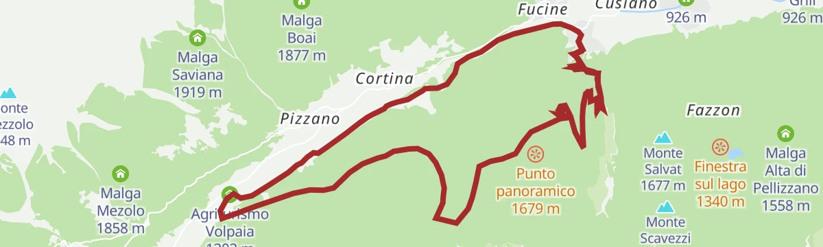
Open route Trentino FishingLaghetti di San Leonardo loop
An easy circuit from Ossana on the cycle-and-footpath to the small lakes of San Leonardo, then gently on through Cortina di Vermiglio to Fucine.
- 12.5 km
- Distance
- 270 m
- Ascent
- 3 h 36 min
- Duration
- 2
- Check-ins
Open route APT Valli di Sole, Peio e RabbiRifugio Bozzi and Montozzo Lakes
A demanding climb over the Tonale meadows to the Passo dei Contrabbandieri and the Bozzi hut, with Great War remains nearby and the Montozzo lakes above the Val di Peio.
- 7.9 km
- Distance
- 1 055 m
- Ascent
- 4 h 36 min
- Duration
- 135
- Check-ins
- Ristorante Valbiolo 2 254 m
- Passo dei Contrabbandieri 2 661 m
- Rifugio Angelino Bozzi 2 478 m
- Laghetti di Montozzo 2 471 m
- Hotel La Mirandola 1 976 m
- Bacino di Valbiolo 2 066 m
- +1
Open route APT Valli di Sole, Peio e RabbiMalga Strino
A walk to Malga Strino, a dairy that served as a military post on the Austro-Hungarian frontier; wartime structures and a military cemetery lie just above it.
- 6.7 km
- Distance
- 322 m
- Ascent
- 2 h 25 min
- Duration
- 3
- Check-ins
Open route APT Valli di Sole, Peio e RabbiMasi Verniana Bait de Mezol
From the church of Santo Stefano in Vermiglio, a steep path crossing the forest road to the Verniana farmsteads and the ruins of Malga Verniana, facing Cima Presanella.
- 14.7 km
- Distance
- 822 m
- Ascent
- 5 h 49 min
- Duration
Open route APT Valli di Sole, Peio e RabbiSentiero degli Austriaci e degli Alpini
A circuit whose upper half is an easy ferrata over scree and rock to the north ridge of Punta d'Albiolo, returning by the south ridge and a ledge cut across the west face.
- 11.7 km
- Distance
- 1 185 m
- Ascent
- 7 h 16 min
- Duration
- 100
- Check-ins
- Monte Tonale Orientale 2 696 m
- Albiolino 2 945 m
- Torrione d'Albiolo 2 956 m
- Ristorante Valbiolo 2 254 m
- Passo dei Contrabbandieri 2 661 m
- Hotel La Mirandola 1 976 m
- +1
Open route APT Valli di Sole, Peio e RabbiLaghetti di San Leonardo
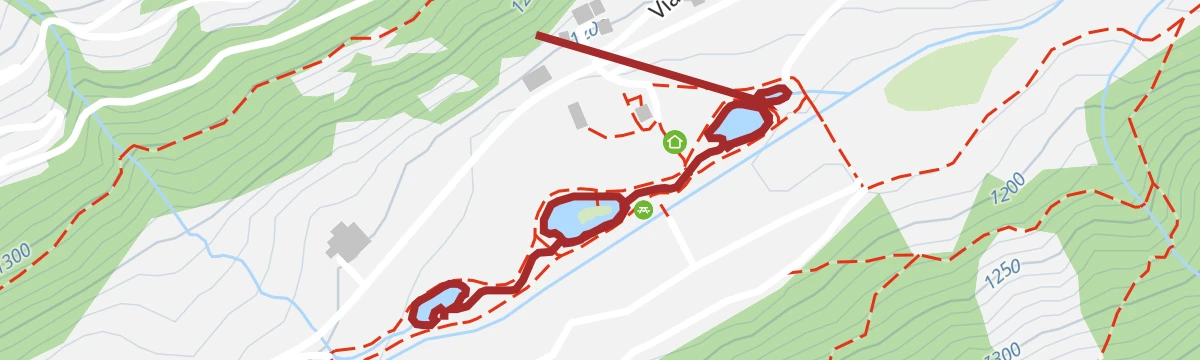
A walk from the San Leonardo ponds along the Vermigliana stream to the Stavel farmsteads, once used as summer barns; passable with a pram as far as the huts.
- 5.8 km
- Distance
- 75 m
- Ascent
- 1 h 32 min
- Duration
- 1
- Check-ins
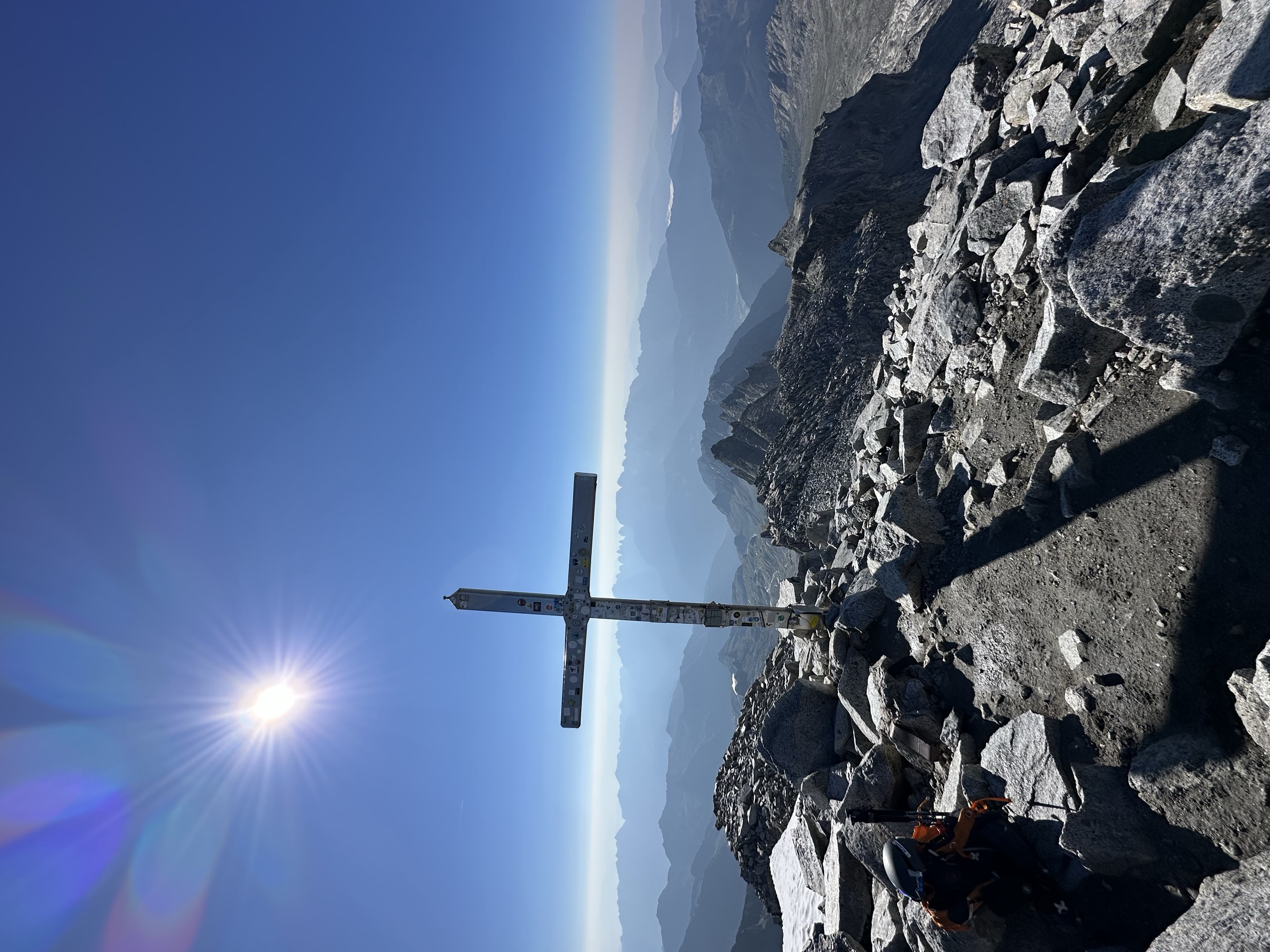
Open route APT Valli di Sole, Peio e RabbiCima Presanella peak
The ascent of Cima Presanella, the highest summit wholly inside Trentino, with views from Monte Rosa to the Hohe Tauern; full equipment and training required.
- 19.4 km
- Distance
- 1 868 m
- Ascent
- 11 h 34 min
- Duration
- 53
- Check-ins
Open route APT Valli di Sole, Peio e RabbiLocality Raseghe - Tonale Beach
A streamside walk from Vermiglio along the Vermigliana to the meadows at Raseghe and the clear pools the water has cut into the rock.
- 5.2 km
- Distance
- 125 m
- Ascent
- 1 h 32 min
- Duration
- 1
- Check-ins
Open route APT Valli di Sole, Peio e RabbiLago Denza and suspended glacier of Presanella
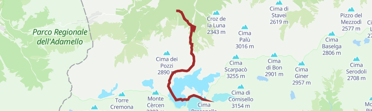
A loop on the Sentiero dei Tedeschi to the Denza hut and Lago Denza, among glaciers, scree and snow-filled gullies below Presanella.
- 11.5 km
- Distance
- 1 169 m
- Ascent
- 7 h 17 min
- Duration
- 39
- Check-ins
- Rifugio Stavèl Francesco Denza 2 298 m
- Lago Denza (o Lago Presanella) 2 314 m
- Passo dei Pozzi 2 608 m
Open route APT Valli di Sole, Peio e RabbiCortina - Via dele Pendege
An unpaved lane from the Cortina hamlet of Vermiglio toward Ossana, through fir and larch and out onto wide sunny meadows above the upper Val di Sole.
- 2.6 km
- Distance
- 74 m
- Ascent
- 49 min
- Duration
Open route APT Valli di Sole, Peio e RabbiDead City and Strino Small Lakes
A circuit over the steep grass of Monte Tonale Orientale to the Città Morta, an Austro-Hungarian settlement of the Great War, then the Strino tarns under Monte Redival and Forte Zaccarana.
- 18.2 km
- Distance
- 1 066 m
- Ascent
- 7 h 26 min
- Duration
- 35
- Check-ins
- Monte Tonale Orientale 2 696 m
- Hotel La Mirandola 1 976 m
- Bacino di Valbiolo 2 066 m
Open route APT Valli di Sole, Peio e RabbiMalga Tonale
A brief walk to Malga Tonale, a dairy pasture with grazing cows and cowbells, looking across at the Adamello-Presanella group and the Presanella itself.
- 1.6 km
- Distance
- 51 m
- Ascent
- 30 min
- Duration
Open route APT Valli di Sole, Peio e RabbiCima Boai and Val Comasine
A demanding loop above Vermiglio by Malga Saviana and larch woods to Cima Boai, returning past Malga Val Comasine and then Malga Mason, facing the Brenta peaks and Cevedale.
- 14.1 km
- Distance
- 1 560 m
- Ascent
- 9 h
- Duration
- 5
- Check-ins
Open route APT Valli di Sole, Peio e RabbiLago Barco
A demanding climb past the Malga del Doss and along a wooded ridge of larch and alder to an alpine lake at 1,903 m, with Lago Piccolo higher up.
- 13.5 km
- Distance
- 1 191 m
- Ascent
- 7 h 30 min
- Duration
- 3
- Check-ins
- Malga del Dosso 1 678 m
- Lago Piccolo 2 316 m
Open route APT Valli di Sole, Peio e RabbiMalga del Doss route
A long route between two secluded side valleys above Vermiglio, crossing varied ground in what is recognised bear habitat.
- 20.7 km
- Distance
- 1 035 m
- Ascent
- 7 h 8 min
- Duration
- 2
- Check-ins
Open route APT Valli di Sole, Peio e Rabbi
No routes of this kind in Vermiglio yet.
The region's own picks

Featured route
Tonale Pass and Fort Mero
An out-and-back from the San Bartolomeo hospice to Forte Mero, an Austro-Hungarian work of 1911-13 that tied the Zaccarana and Presanella forts together.
Planning a trip to Vermiglio?
Everything else Trentino-Alto Adige/Südtirol has, in one place


Take Vermiglio with you into the mountains
Every route on this page with 3D terrain, GPX navigation and offline maps — including the valleys with no signal.
Data sources
- Official website: visitvaldisole.it ↗
- Routes and highlights: APT Valli di Sole, Peio e Rabbi, Visitbrescia, VisitTrentino, Trentino Fishing, Visit Trentino, in Lombardia
- Published as open data by the tourist boards named above.
- Region summary generated from the board's own material.
