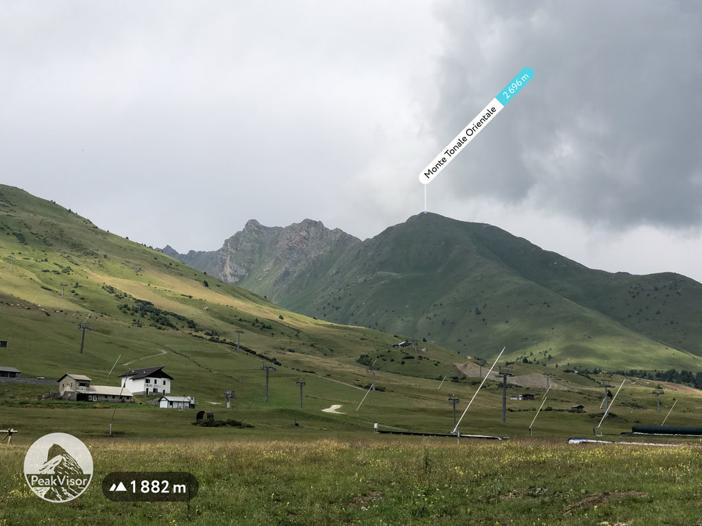
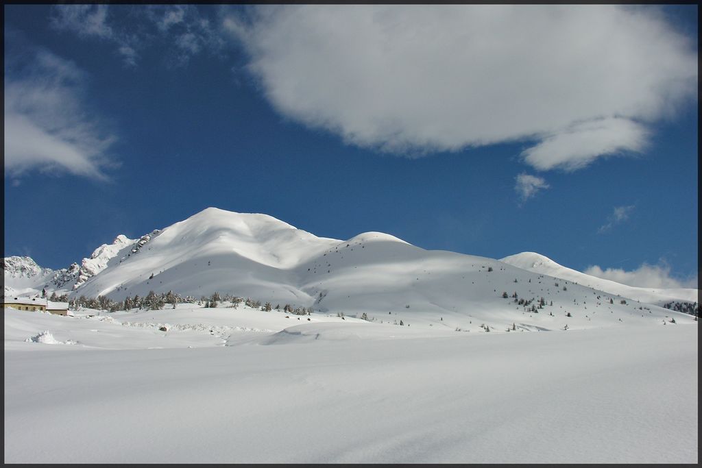
At an elevation of 2,696 m (8,845 ft.), and with a prominence of 59 m (194 ft.), Monte Tonale Orientale forms part of the Southern Rhaetian Alps. It is situated in the Province of South Tyrol, Italy.
The best months to visit Monte Tonale Orientale are from June to October. Hikes start from Hospiz San Bartolomeo on the Tonale Pass. An unpaved path leads all the way to Malga Valbiolo and reaches a crossroads at 2,042 m. At the crossroads, take path SAT 161s, which leads to a crossing followed by some steep, long, hairpin bends on the slopes of the mountain. The summit is not far from here, on the ridge at 2,696 m.
Monte Tonale Orientale isn't a difficult mountain to climb, but visitors are advised to wear suitable warm and waterproof clothing, trekking shoes, gloves, and a cap and stock up well with emergency supplies, a first-aid kit, ropes, a knife, and so on.
Interesting places to visit on the way are the Tonale Plant at 2,000 m, a factory that was built between 1908 and 1914, as well as the Presanella Plant. The Tonale Plant was heavily bombed in WW I but has been recently restored through a project called “Sulle tracce della Grande Guerra,” which translates as “On the trail of the Great War.”
Visitors can also visit an open-air museum exhibiting Tonale’s defenses and fortifications.
There's a hiking trail (T2) leading to the summit.
The nearest mountain hut is Rifugio Malga Valbiolo located 1 229m/4 032ft WSW of the summit.
We use GPS information embedded into the photo when it is available.
3D mountains overlay
Adjust mountain panorama to perfectly match your photos because recorded by camera photo position might be imprecise.
Move tool
Rotate tool
Zoom
More customization
Choose which peak labels should make into the final photo and what photo title should be.
Next
Photo Location
Satellitte
Flat map
Relief map
Latitude
Longitude
Altitude
OR
Latitude
°'''
Longitude
°'''
Apply
Register Peak
Peak Name
Latitude
Longitude
Altitude
Register
Teleport
PeakVisor
This 3D model of Sagarmatha National Park in Nepal was made using the PeakVisor app topographic data. The mobile app features higher precision models worldwide, more topographic details, and works offline. Download PeakVisor maps today.
Download OBJ model
PeakVisor
The download should start shortly. If you find it useful please consider supporting the PeakVisor app.
PeakVisor for iOS and Android
Be a superhero of outdoor navigation with state-of-the-art 3D maps and mountain identification in the palm of your hand!