
 Historic site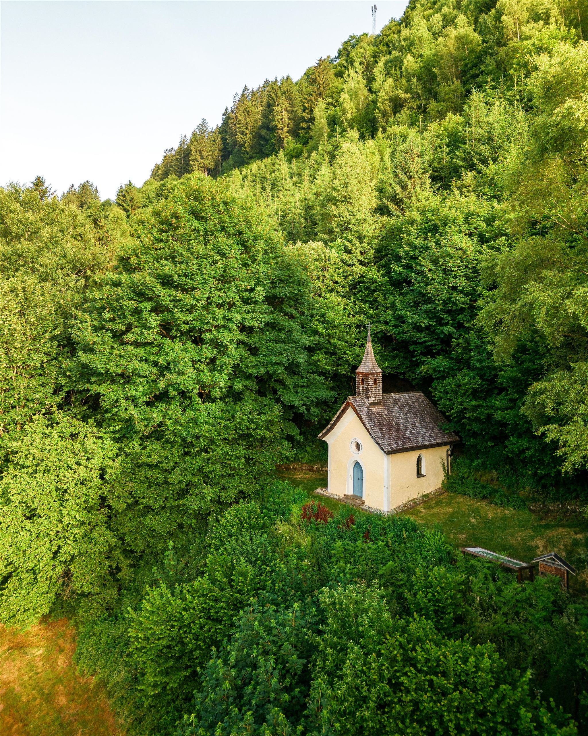
 Viewpoint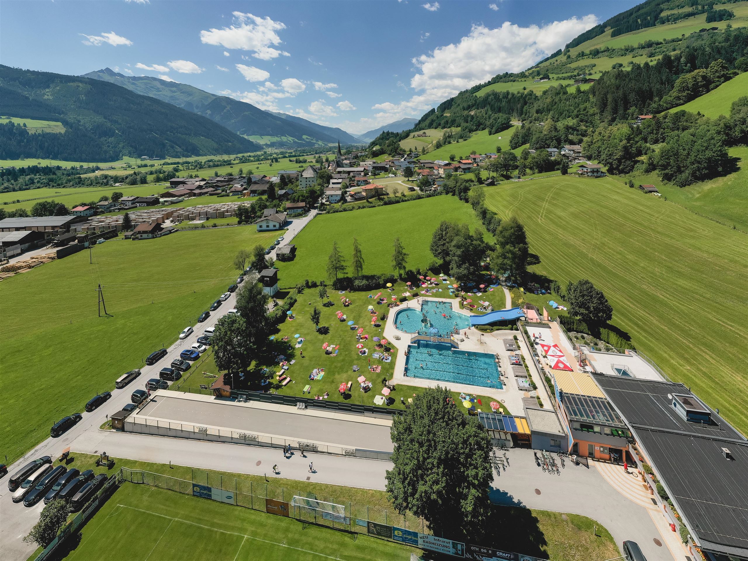






Curated by Nationalparkregion Mittersill
Stuhlfelden
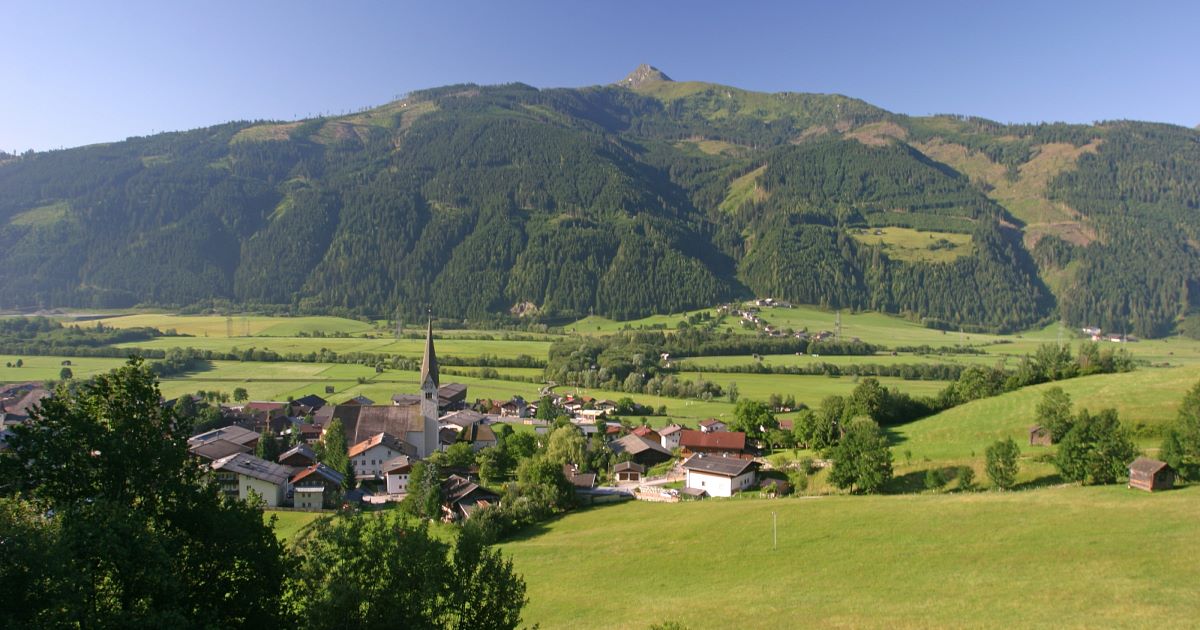
One of the Oberpinzgau's oldest parishes, on the Salzach floor just below Mittersill, with Schloss Lichtenau and a share of the Hohe Tauern national park.
- 8Highlights
- 20Routes
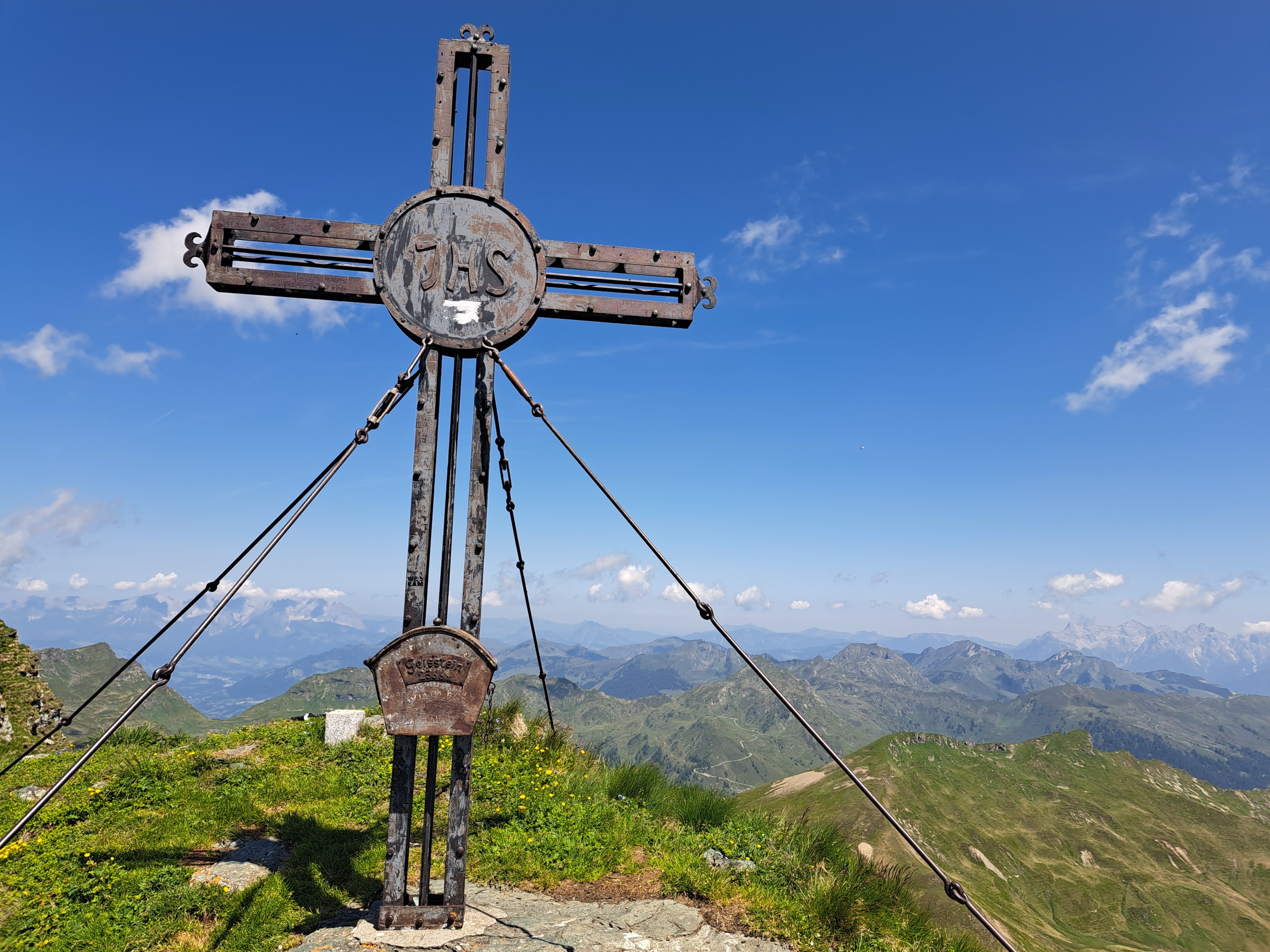
- Featured summit · Geißstein
Highlights
7 from neighbouring places
Golfclub Nationalpark Hohe Tauern
A golf course on the Salzach floor between Mittersill and Stuhlfelden, named after the Hohe Tauern National Park.
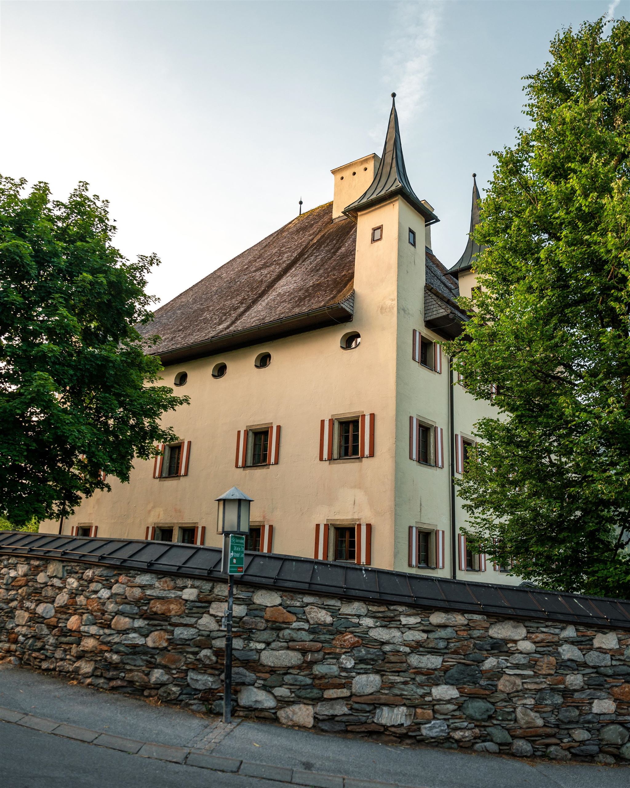
Schloss Lichtenau
A historic castle at Stuhlfelden in the Oberpinzgau, a manor seat whose walls recall the noble families of the upper Salzach valley.
Schnupper Golf Mittersill
Taster golf sessions at the Hohe Tauern golf course near Mittersill and Stuhlfelden in the Oberpinzgau.
Waldkapelle Stuhlfelden
A forest chapel above Stuhlfelden, a small pilgrimage site reached on foot, with a clear outlook over the Oberpinzgau valley floor.
Freizeitzentrum Stuhlfelden
The leisure centre of Stuhlfelden with an outdoor pool, ball-sport courts, a fun park and playgrounds, a summer meeting point for families.
Freibad Stuhlfelden
The outdoor swimming pool of Stuhlfelden, on the valley floor of the Oberpinzgau near Mittersill.
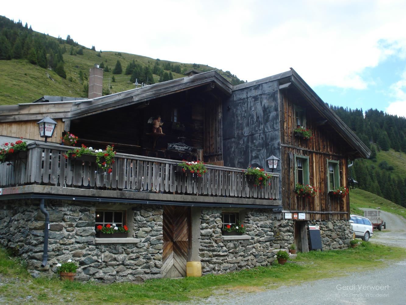
Bürglhütte 1.700 m
A mountain hut at 1,700 m above Stuhlfelden, serving regional dishes to walkers on the slopes north of the Oberpinzgau valley.
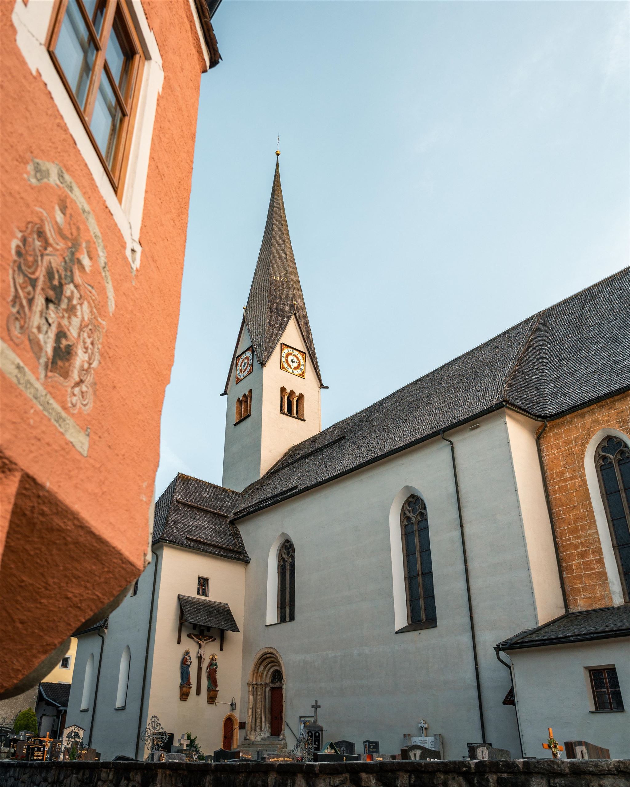
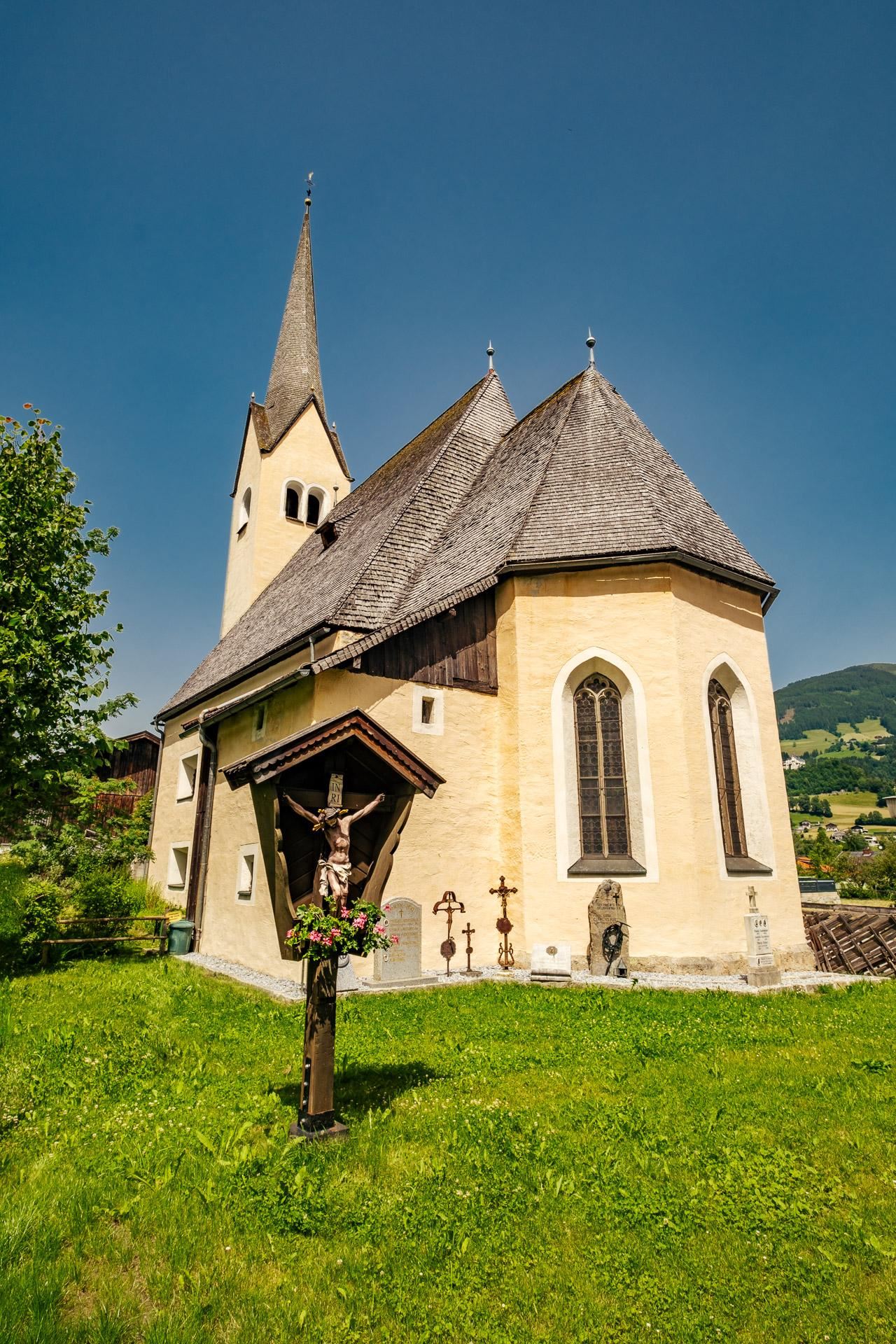
Wallfahrtskirche "Maria auf dem Stein"
A pilgrimage church at Stuhlfelden built onto a rock, combining Romanesque and Gothic elements and long visited by Marian pilgrims.
Schloss Mittersill
2.9 km away, in Mittersill
A medieval castle on the hillside above Mittersill in the upper Salzach valley, rebuilt several times and today run as a hotel and restaurant.
Freibad Mittersill
3.1 km away, in Mittersill
The open-air swimming pool of Mittersill, the market town at the mouth of the Felbertal in the Oberpinzgau.
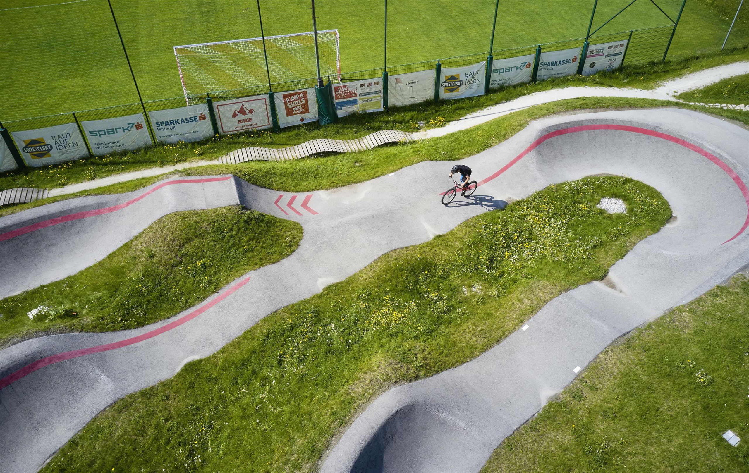
Pumptrack Mittersill
3.2 km away, in Mittersill
An asphalt pump track in Mittersill for bikes, BMX, skateboards and inline skates, with rollers and berms suited to riders of all ages.
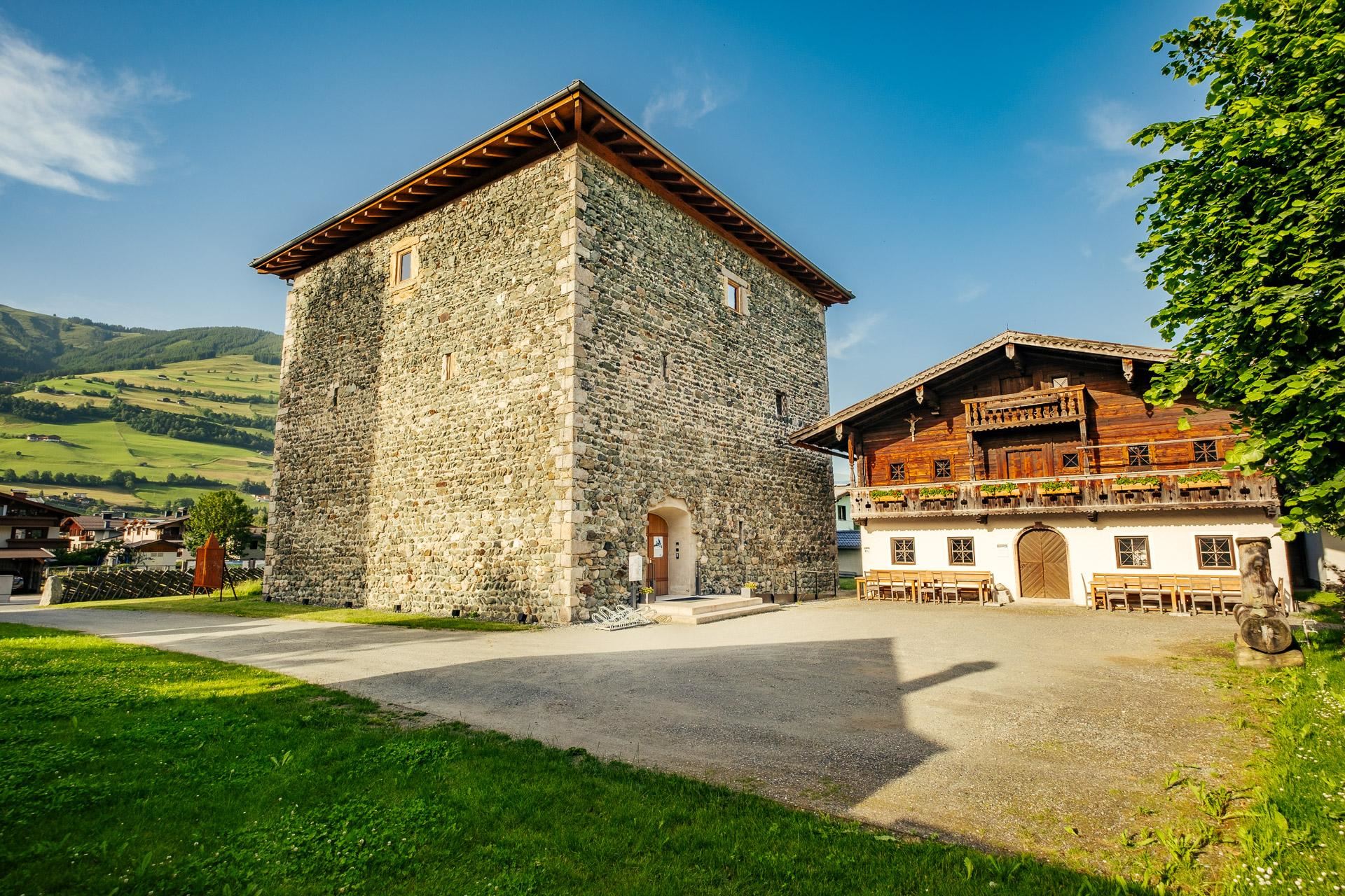
Felberturm Museum Mittersill
3.3 km away, in Mittersill
Mittersill's regional museum, housed in the medieval Felberturm tower and its outbuildings in the Oberpinzgau.
Felberturm Museum
3.3 km away, in Mittersill
A museum in the medieval Felberturm tower at Mittersill, with folk-culture collections on farming, trades and Tauern trade routes.
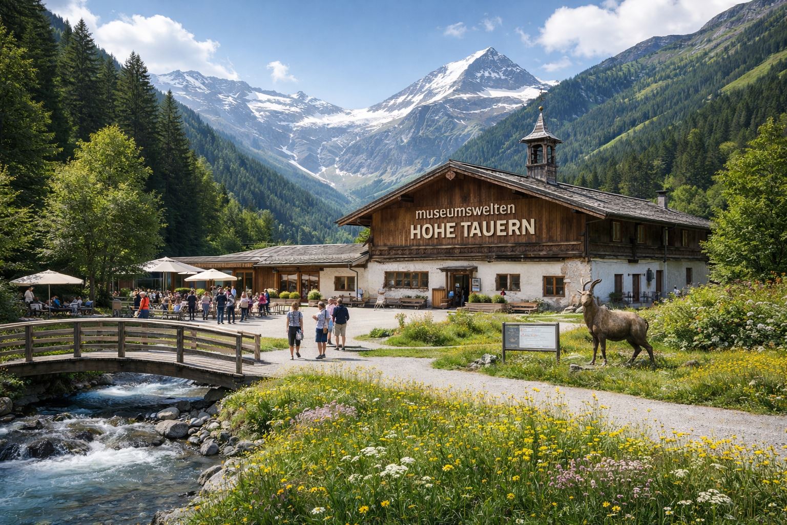
Museumswelten Hohe Tauern
3.3 km away, in Mittersill
A museum complex at Mittersill devoted to the Hohe Tauern region, presenting its nature, history and rural life under one roof.
Felberkirche
3.3 km away, in Mittersill
A historic church in the Felben quarter of Mittersill, standing near the Felberturm on the old route toward the Felber Tauern pass.
Nothing of this kind in Stuhlfelden.
Routes
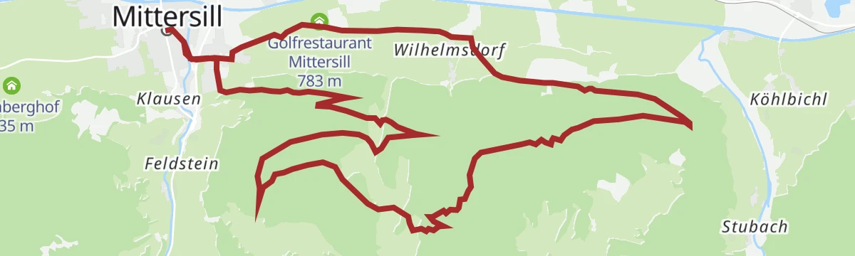
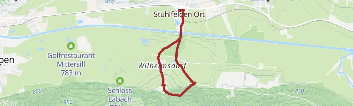
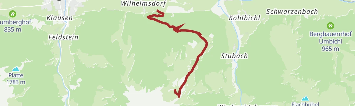
Mittersill: Schloss Lambach Wegnr. 9
A flat round along the edge of the woods to Wilhelmsdorf in Stuhlfelden, passing Schloss Lambach and the golf restaurant.
- 5.7 km
- Distance
- 0 m
- Ascent
- 1 h 21 min
- Duration
- 1
- Check-ins
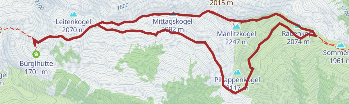
Stuhlfelden: Mittagskogel, Manlitzkogel & Rabenkopf Wegnr. 12
A 13 km round in the Kitzbüheler Alpen taking in four tops - Mittagskogel, Manlitzkogel, Zehentner Stange and Rabenkopf - over the Murnauer Scharte.
- 13.0 km
- Distance
- 636 m
- Ascent
- 4 h 41 min
- Duration
- 9
- Check-ins
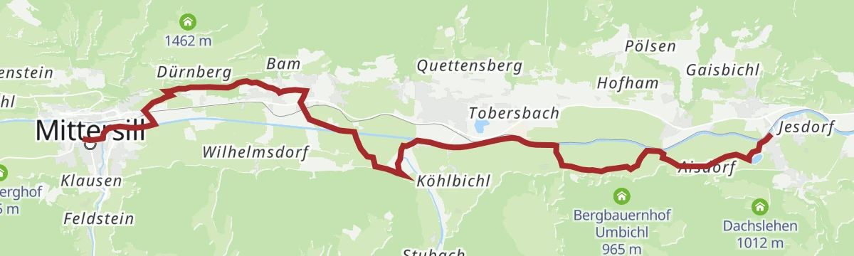
Etappe 11: Alpina Antica Trail | ET11: Mittersill - Niedernsill
Stage 11 turns east away from the Felbertauern trade route and follows the Salzachtal from Mittersill through the valley villages to Niedernsill.
- 16.9 km
- Distance
- 174 m
- Ascent
- 4 h 24 min
- Duration
Stuhlfelden: Bürglhütte Biketour
A steady forest-road climb from the ski lift above Stuhlfelden, gaining 900 m to the mountain hut at 1,701 m.
- 9.8 km
- Distance
- 895 m
- Ascent
- 1 h 29 min
- Duration
Mittersill: Felberberg Biketour
A forest-road climb onto the Felberberg outside Mittersill, starting from the golf course on the floor of the Salzach valley.
- 19.1 km
- Distance
- 624 m
- Ascent
- 2 h 17 min
- Duration
- 1
- Check-ins
11 Rund um das Kitzbüheler Horn
A long road circuit right around the Horn, from the Glemmtal over the Pass Thurn and back through Kitzbühel on the way home.
- 115.9 km
- Distance
- 1 673 m
- Ascent
- 11 h 51 min
- Duration
- 56
- Check-ins
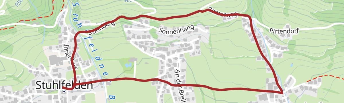
Stuhlfelden: Bamerrunde Wegnr. 16, 7
An easy 2.9 km village round in Stuhlfelden, with 84 m of climbing.
- 2.9 km
- Distance
- 72 m
- Ascent
- 51 min
- Duration
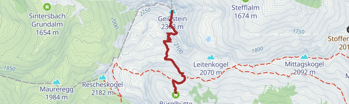
Stuhlfelden: Gaisstein
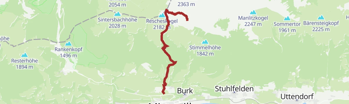
From the Bürglhütte a fairly quick 657 m climb reaches the 2,363 m Gaisstein, the home mountain of Stuhlfelden and one of Europe's highest grass summits.
- 5.5 km
- Distance
- 657 m
- Ascent
- 3 h 55 min
- Duration
- 7
- Check-ins
Stuhlfelden: Bürglhütte
An 18.7 km walk up to the Bürglhütte, among the most traditional working huts in the area, with 900 m of ascent.
- 18.7 km
- Distance
- 920 m
- Ascent
- 6 h 45 min
- Duration
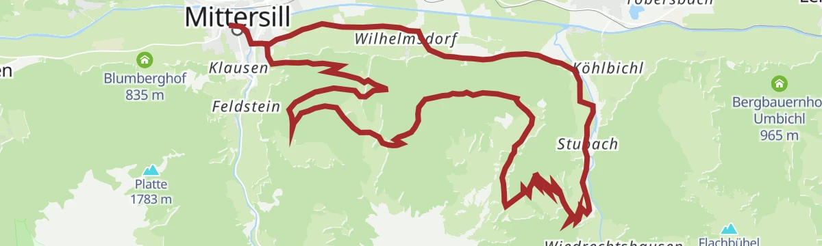
Mittersill: Stubachtal Biketour
A forest-road tour out of Mittersill into the Stubachtal, following the Salzach downstream before turning south into the side valley.
- 28.5 km
- Distance
- 839 m
- Ascent
- 3 h 19 min
- Duration
- 1
- Check-ins
Radtour von Zell am See - Krimml
A long valley ride up the Salzach from Zell am See through Mittersill and Wald to Krimml, at the head of the Oberpinzgau.
- 67.1 km
- Distance
- 741 m
- Ascent
- 6 h 39 min
- Duration
- 24
- Check-ins
 Bergschmied 817 m
 Tagesspeicher Krimmler Ache 1 048 m
- Tourismusinfo Mittersill-Hollersbach-Stuhlfelden 786 m
- Einödhof 768 m
- Rechenmacherhütte 826 m
- Tourismusverband Wald-Königsleiten 875 m
- +5
Stuhlfelden: Kälberrainrunde
A short round through the Kälberrain area, where a 3D archery course has been set up in the woods.
- 3.4 km
- Distance
- 128 m
- Ascent
- 1 h 6 min
- Duration
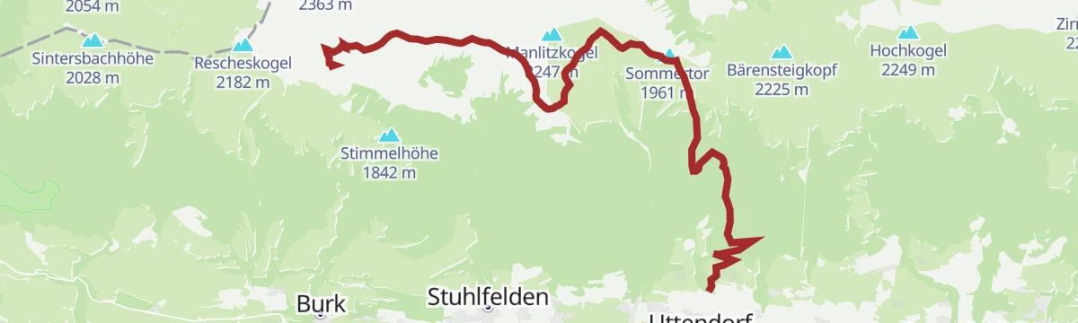
Stuhlfelden: Pinzgauer Spazierweg Wegnr. 719
A 14.5 km traverse across the Pinzgau grass mountains by way of the Sommertörl and Murnauer Scharte to the Bürglhütte, facing the Hohe Tauern.
- 14.5 km
- Distance
- 391 m
- Ascent
- 5 h 2 min
- Duration
- 5
- Check-ins
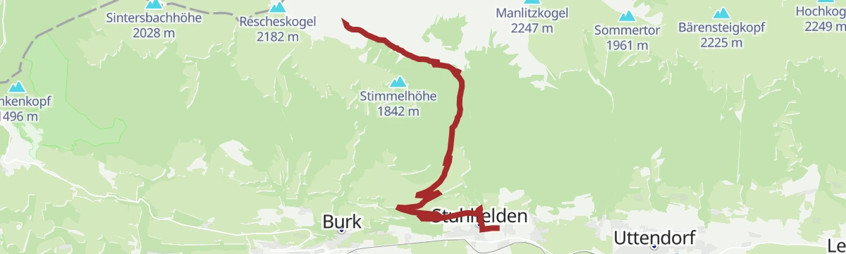
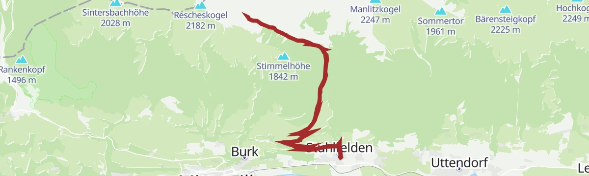
Stuhlfelden: Sintersbachscharte Wegnr. 713, 702
A steep 1,128 m route through the Rosswegscharte and Sintersbachscharte, in the alm country below the Rescheskogel, ending at the Bürglhütte.
- 7.9 km
- Distance
- 1 120 m
- Ascent
- 5 h 4 min
- Duration
Stuhlfelden: Waldkapellen- Rundweg
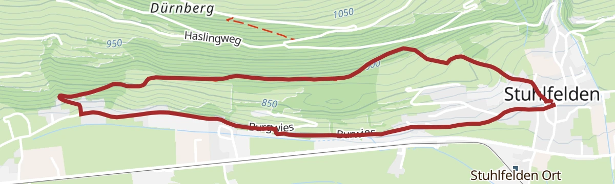
An easy round from Stuhlfelden over the Sonnberg, past a small forest chapel, to the Mittersill district of Burk.
- 4.3 km
- Distance
- 119 m
- Ascent
- 1 h 18 min
- Duration
Stuhlfelden: Golfrundweg Wegnr. 10
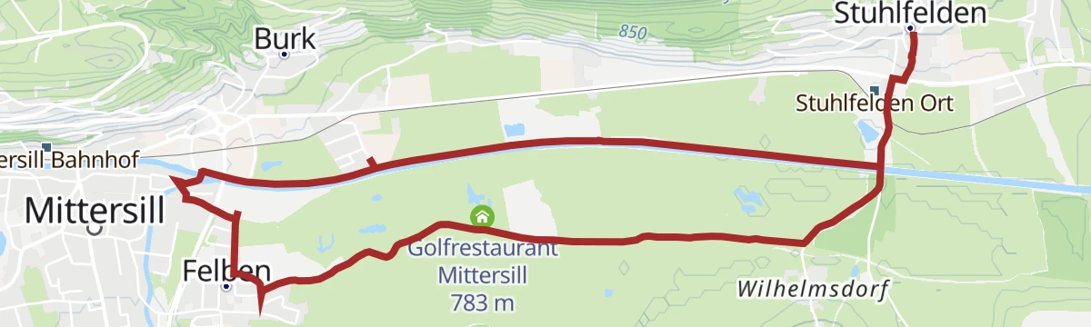
A flat 8 km round from Stuhlfelden across meadows to Mittersill, returning on the Tauern cycle path beside the golf course.
- 8.0 km
- Distance
- 10 m
- Ascent
- 1 h 54 min
- Duration
- 1
- Check-ins
Stuhlfelden: Wasserfallweg - Lehnbergrunde
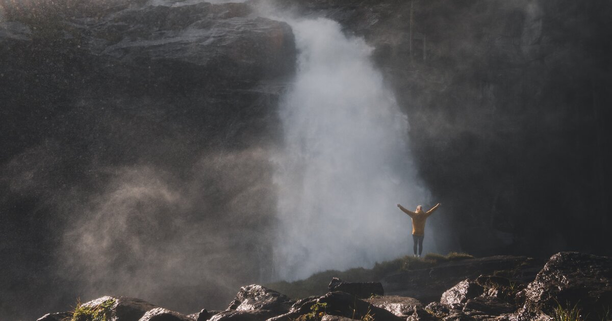
A 5 km round on the slopes around Stuhlfelden, the oldest village in the Oberpinzgau, taking in a waterfall.
- 5.0 km
- Distance
- 145 m
- Ascent
- 1 h 32 min
- Duration
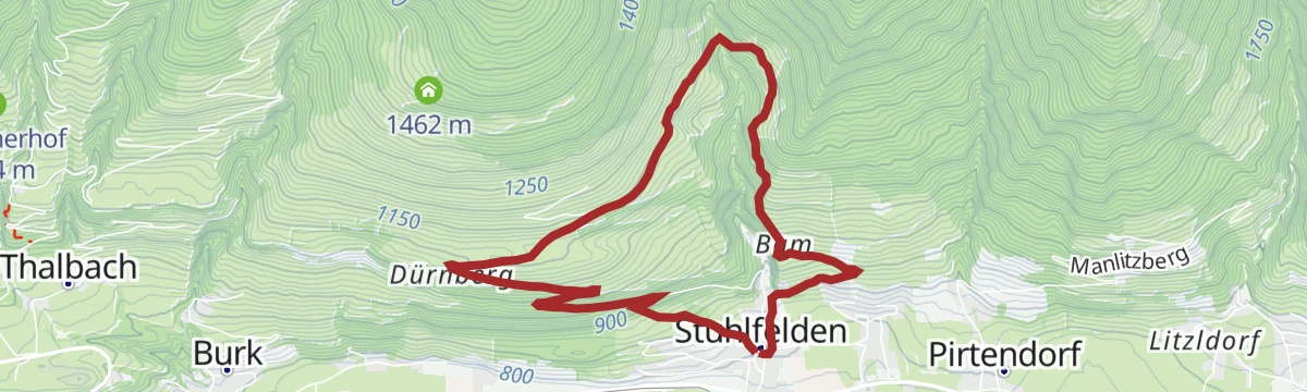
Stuhlfelden: Dürnbergrunde Wegnr. 75
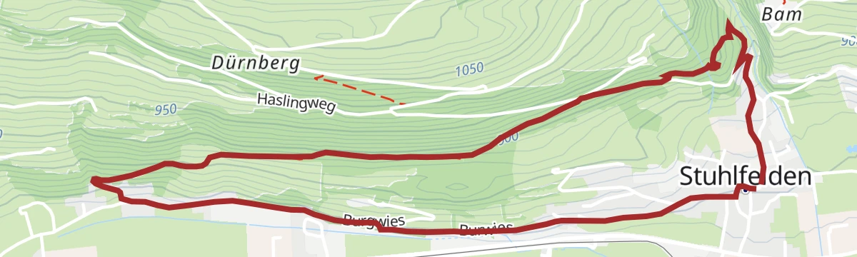
A 10 km round on the sunny side of Stuhlfelden, with 496 m of climbing and open views.
- 10.2 km
- Distance
- 521 m
- Ascent
- 3 h 47 min
- Duration
Stuhlfelden: Dürnsteinalm
A 13.8 km walk up to the Dürnsteinalm at roughly 1,400 m, gaining 690 m on the way.
- 13.8 km
- Distance
- 782 m
- Ascent
- 5 h 31 min
- Duration
Stuhlfelden: Knappenweg
A 7 km route on the tracks of the old miners, taking in the Knappenhöhle cave near the Grubhof.
- 7.0 km
- Distance
- 413 m
- Ascent
- 2 h 52 min
- Duration
No routes of this kind in Stuhlfelden yet.
The region's own picks
Featured route
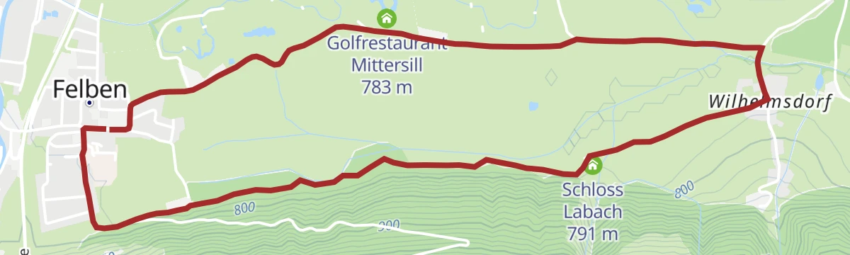
Mittersill: Schloss Lambach Wegnr. 9
A flat round along the edge of the woods to Wilhelmsdorf in Stuhlfelden, passing Schloss Lambach and the golf restaurant.
Planning a trip to Stuhlfelden?
Everything else Salzburg (state) has, in one place


Take Stuhlfelden with you into the mountains
Every route on this page with 3D terrain, GPX navigation and offline maps — including the valleys with no signal.
Data sources
- Official website: mittersill.info ↗
- Routes and highlights: Nationalparkregion Mittersill, Nationalpark, Hochkönig Tourismus, Kitzbühel Tourismus, Zell am See-Kaprun Tourismus
- Published as open data by the tourist boards named above.
- Region summary generated from the board's own material.
