
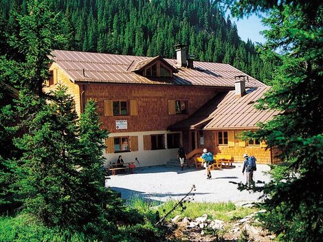
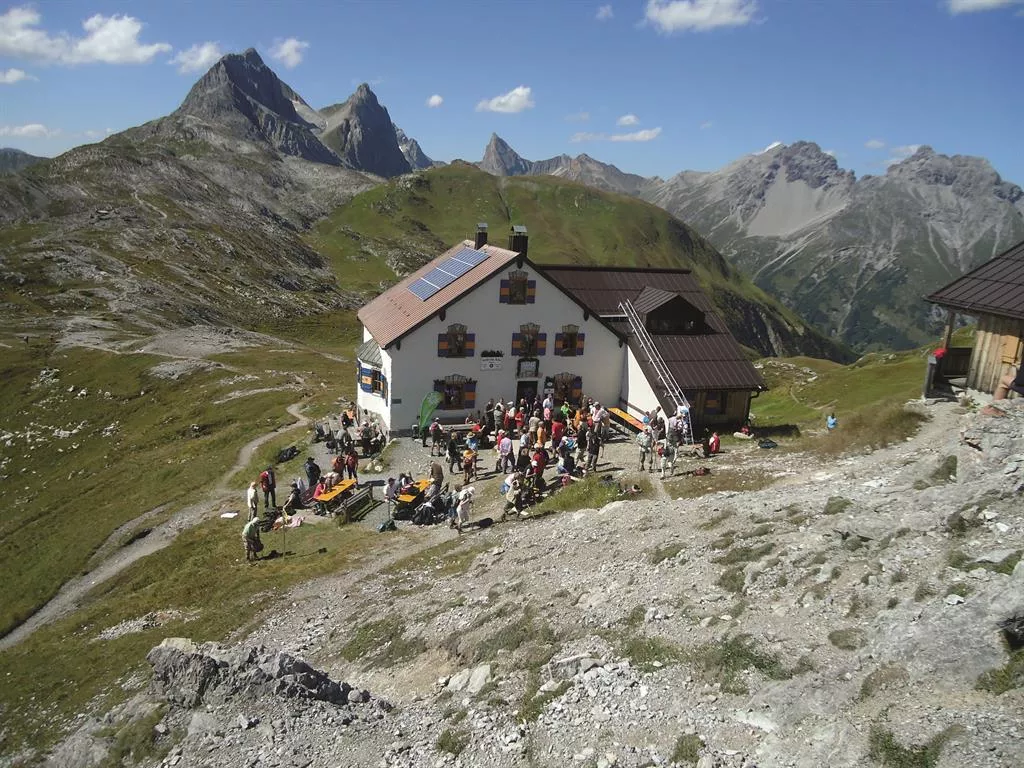
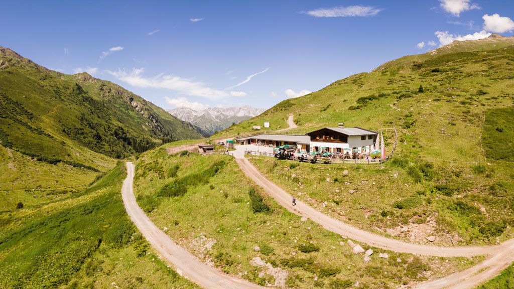
 Mountain hut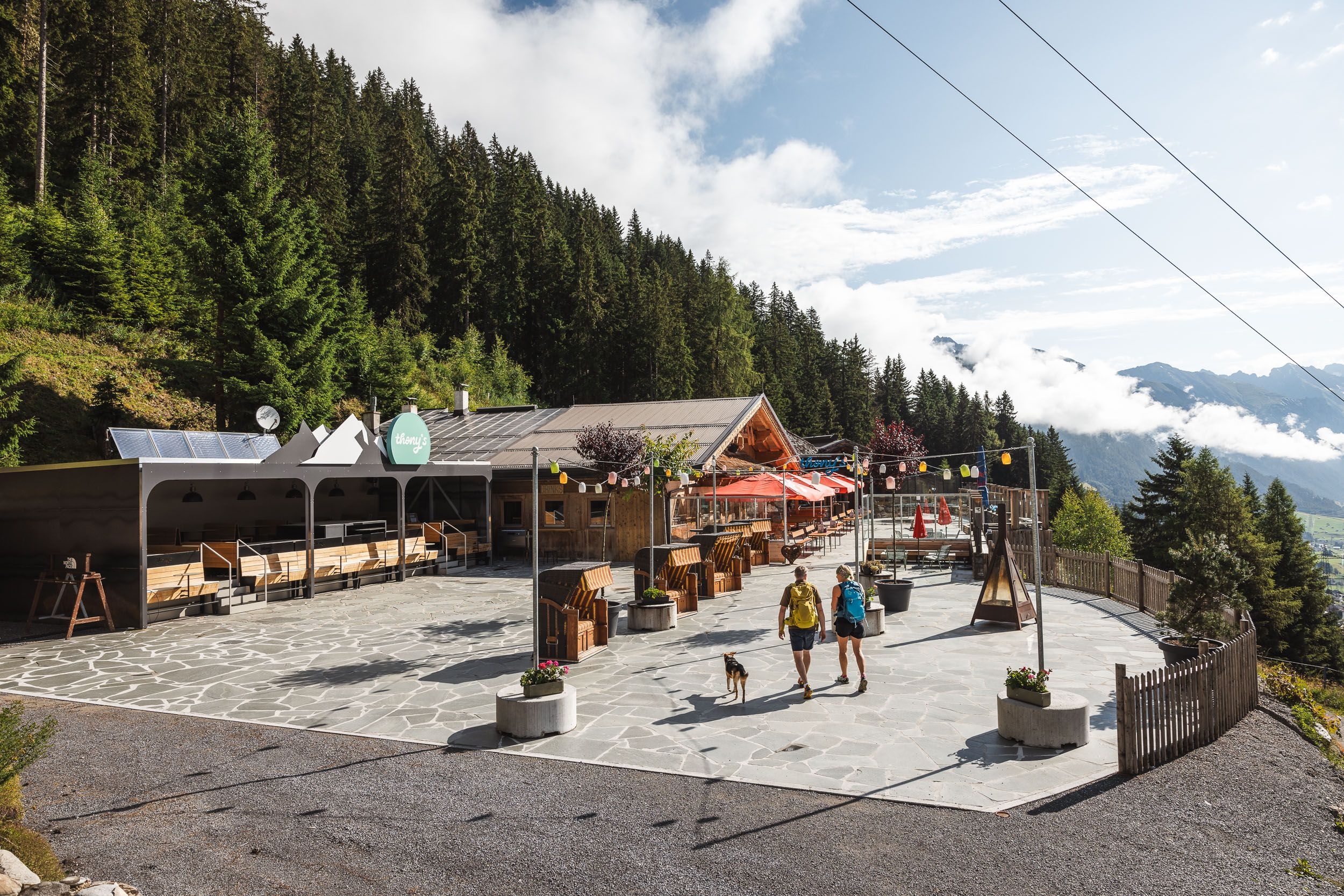
 Cable car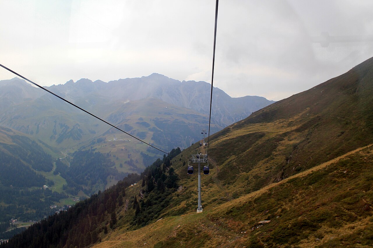



















Curated by St. Anton am Arlberg
St. Anton am Arlberg
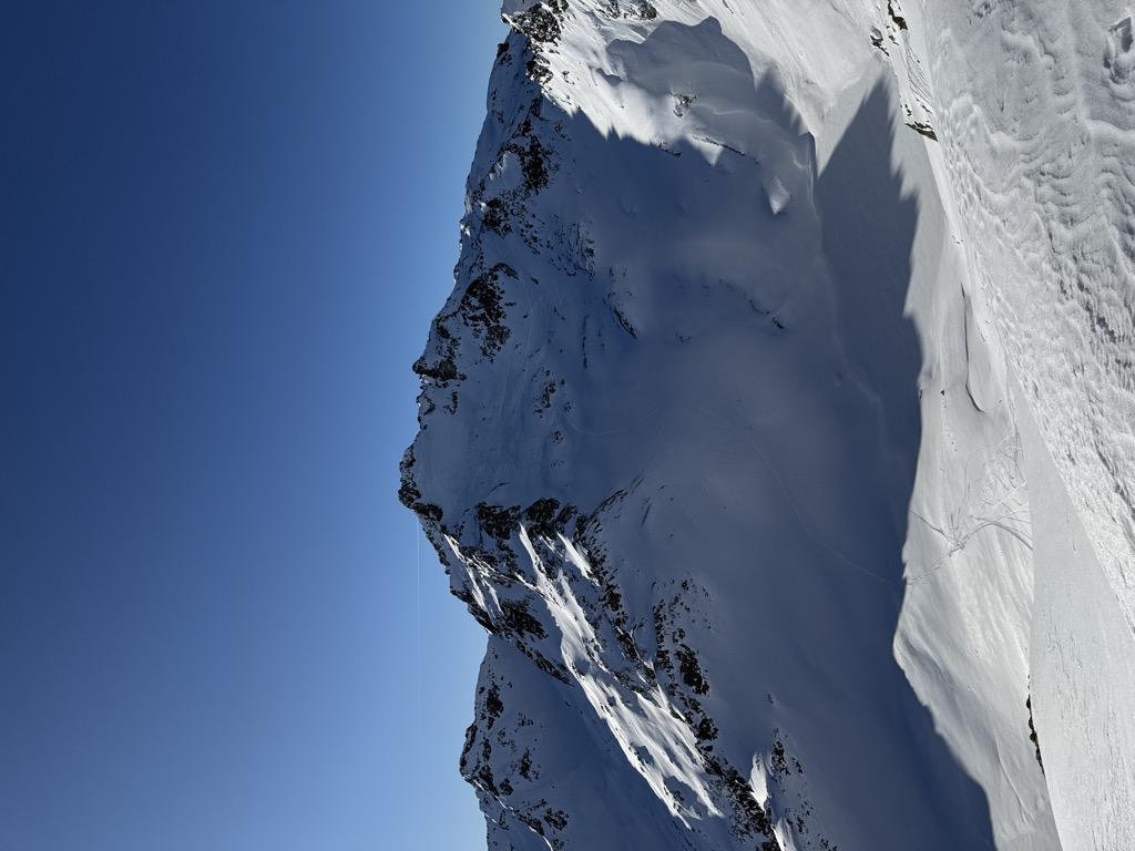
The village at the Tyrolean foot of the Arlberg pass, a cradle of alpine skiing whose lifts join one of the world's largest linked ski areas, with the Valluga rising above.
- 16Highlights
- 111Routes
- Featured summit · Valluga
Highlights
Kaltenberg
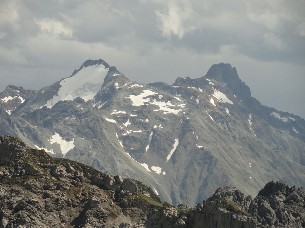
A Verwall summit on the Tyrol–Vorarlberg border; the quoted height belongs to its east top.
Pflunspitzen
The highest massif in the western Verwall, next to the Kaltenberg; Klösterle is the nearest village.
Schindlerspitze
A summit above the Arlberg ski slopes, on the ridge that carries the state border.
Sennhütte
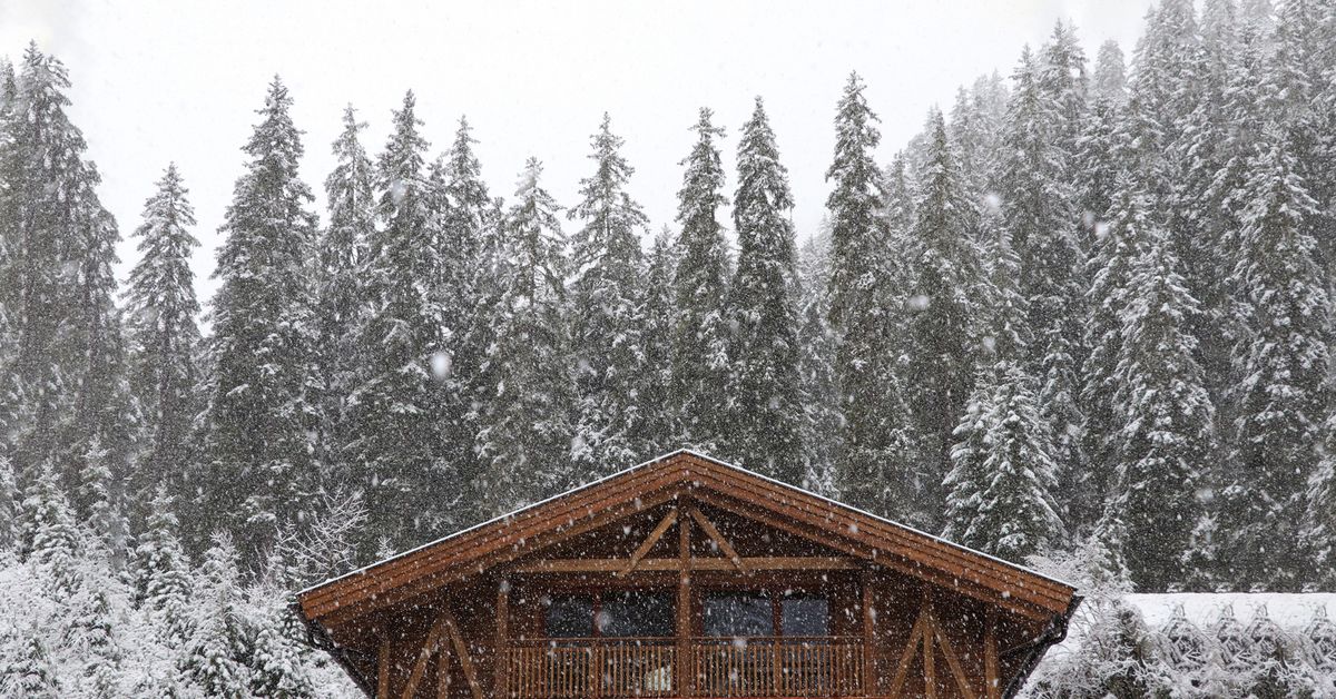
A hut on the lower slopes above St. Anton am Arlberg, within walking distance of the village and open in winter and summer.
Thonys - 1.500m
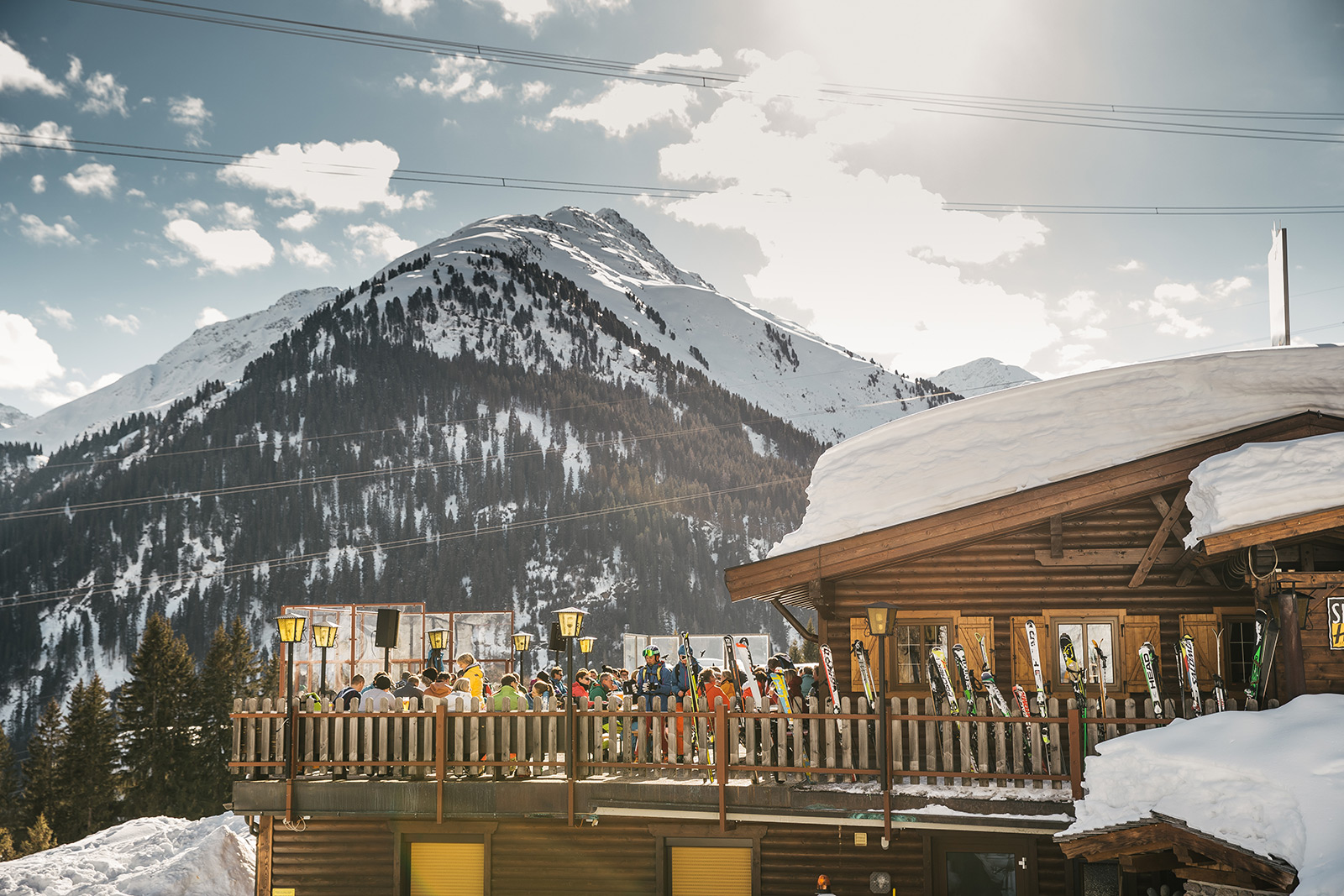
A slope-side restaurant at 1,500 m above St. Anton am Arlberg, a lunch and après-ski stop reachable from the village lifts.
Wagner Hütte 1.509m
A mountain hut at 1,509 m in the Verwall valley south of St. Anton am Arlberg, a catering stop on the valley's walking route.
Galzigbahn
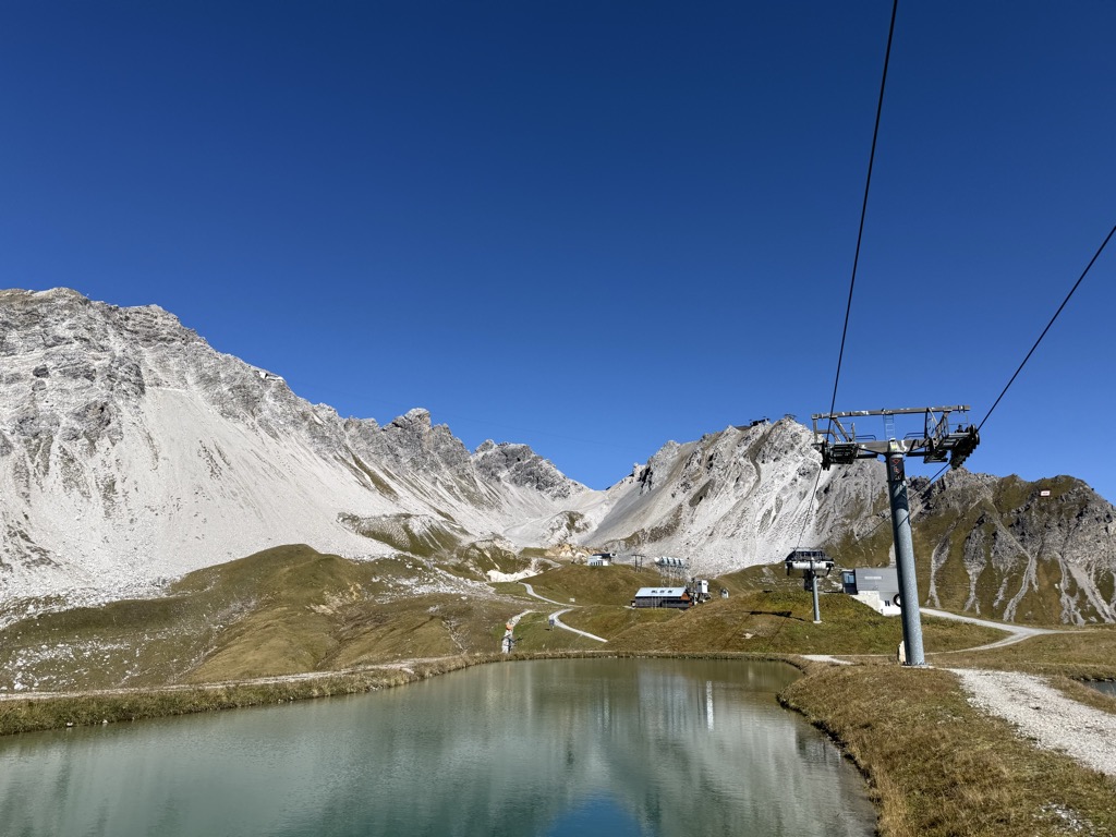
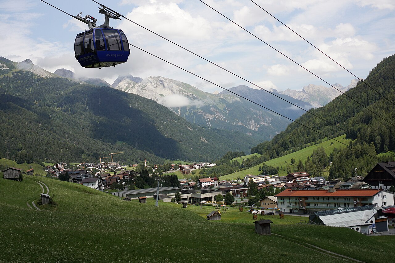
A gondola from the centre of St. Anton am Arlberg to the Galzig, rebuilt in 2006 with a distinctive wheel-shaped boarding system.
Rendlbahn
A gondola from St. Anton am Arlberg across the valley to the Rendl, opening the ski slopes on the south side of the resort.
Klettergärten Darmstädter Hütte
Climbing gardens near the Darmstädter Hütte in the Verwall mountains south of St. Anton, with bolted sport routes above the hut.
Arlberg Escapes
An escape-room game in St. Anton built around the village's own ski history and its Weiße Rausch trophy.
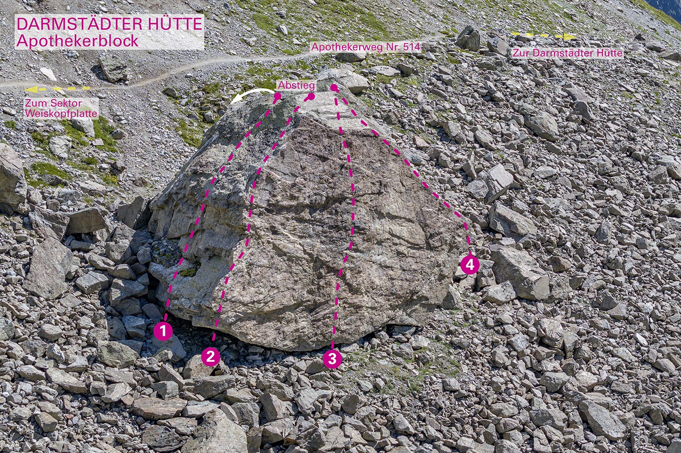
Apothekerblock
A climbing block at 2,533 m in the Verwall above St. Anton, high enough to stay in condition through the summer.
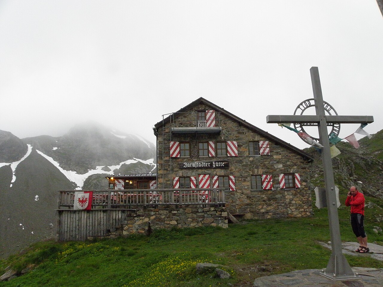
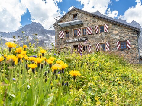
Darmstädter Hütte
A German Alpine Club hut in the Verwall group, set among tarns below peaks of over 3,000 m and a stage on the Verwall hut-to-hut circuit.
Konstanzer Hütte
A German Alpine Club hut in the Verwall group north of the Paznaun, a stage for hut-to-hut walkers crossing the range.
Leutkircher Hütte 2.251 m
A refuge at 2,251 m on the ridge between Kaisers and the Arlberg, a stop on the high routes linking the Lechtal and Stanzertal.
Putzen Alm
An alp above St. Anton at the head of the Schöngrabental, reached on foot or by bike through the Nasserein quarter.
Rossfall Alm
An alp on the Rossfall above St. Anton, on the slopes below the Rossfallscharte.
Nothing of this kind in St. Anton am Arlberg.
Routes
50 routes, an even mix of activities · see the rest on stantonamarlberg.com ↗
Arlberger Klettersteig
A ridge via ferrata high above St. Anton: ride the Galzig and Valluga lifts, drop to the Mattunjoch, then work along the rock towers toward Kapall — snowfields can linger on the approach.
- 9.0 km
- Distance
- 400 m
- Ascent
- 4 h 26 min
- Duration
- 56
- Check-ins
Arlberger Winterklettersteig
A short klettersteig starting at the Riffelscharte in the Rendl ski area, designed to be climbed in winter with skis on the pack; the exit runs toward the Rossfallscharte, so check avalanche conditions.
- 742 m
- Distance
- 200 m
- Ascent
- 1 h 20 min
- Duration
- 3
- Check-ins
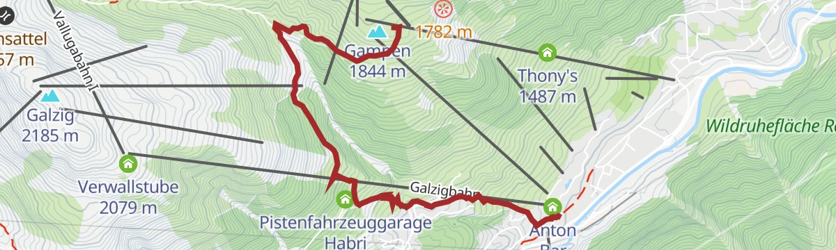
Gampen - Grün - St. Anton
An easy, lift-assisted descent from Gampen back to St. Anton, with the Sennhütte a natural refreshment stop on the way down to the village.
- 4.5 km
- Distance
- 12 m
- Ascent
- 1 h 5 min
- Duration
- 74
- Check-ins
Valluga- Ulmer Hütte - Steißbachtal - St. Anton
Ride the lifts toward the Valluga, then descend past the Ulmer Hütte and through the Steißbachtal back to the village — a high start and a long, almost effortless walk down.
- 9.2 km
- Distance
- 17 m
- Ascent
- 2 h 11 min
- Duration
- 108
- Check-ins
Arlberg Trail Etappe Lech - St. Anton (Originalroute)
The original long stage between Lech and St. Anton, climbing from the Rüfikopf cable car's terrain over the Valfagehrjoch — a marathon-feeling day with more than 2,000 m of ascent.
- 20.1 km
- Distance
- 2 194 m
- Ascent
- 13 h 17 min
- Duration
- 103
- Check-ins
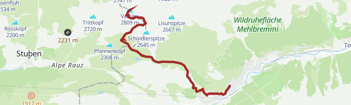
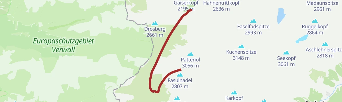
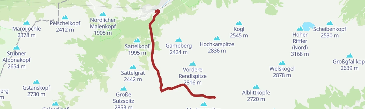
Rauz - Valluga
From Rauz at 1,624 m, 1,194 m of ascent over 6.1 km to Valluga.
- 5.0 km
- Distance
- 0 m
- Ascent
- 0 m
- Descent
- 1 h 14 min
- Duration
Open route PeakVisor tTRL (OpenStreetMap piste_type=skitour)Konstanzer Hütte - Wannenjöchli
A ski tour from the Konstanzer Hütte to the Wannenjöchli, 954 m of climbing in 9.2 km to a col at 2,645 m.
- 8.6 km
- Distance
- 0 m
- Ascent
- 0 m
- Descent
- 2 h 7 min
- Duration
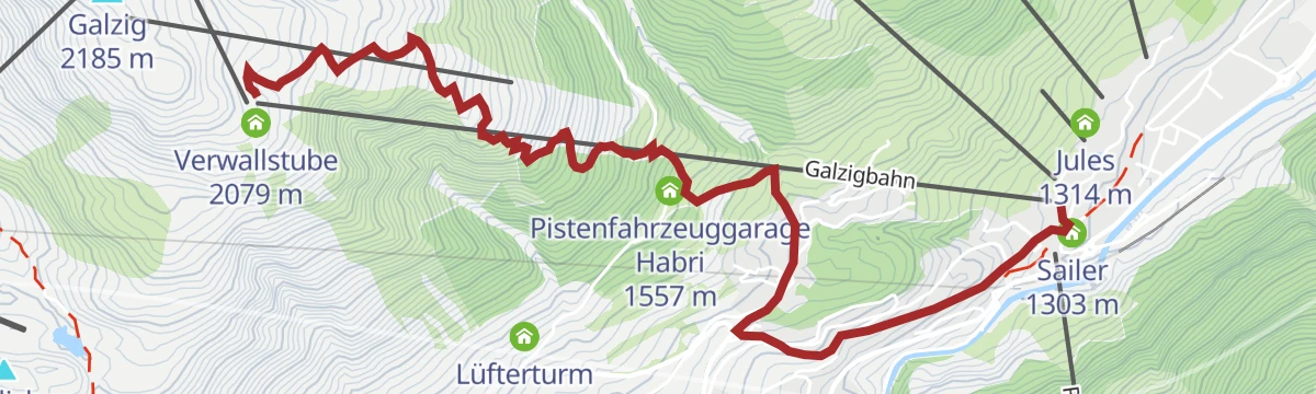
Open route PeakVisor tTRL (OpenStreetMap piste_type=skitour)Galzigtrail 7094
A descent from the Verwallstube at the Galzig top station down past the Sennhütte to St. Anton am Arlberg, losing height all the way.
- 4.8 km
- Distance
- 10 m
- Ascent
- 26 min
- Duration
- 61
- Check-ins
Heilbronner Hütte 796
A long forest-road ride from St. Anton am Arlberg through the Rosannaschlucht and past the Konstanzer Hütte to the Neue Heilbronner Hütte at 2,308 m.
- 40.5 km
- Distance
- 1 490 m
- Ascent
- 4 h 60 min
- Duration
- 84
- Check-ins
Galzigtrail 7094
A descent from the top of the Galzigbahn down the east flank to St. Anton, losing 773 m over 5.4 km on trail and shared path.
- 4.8 km
- Distance
- 0 m
- Ascent
- 46 min
- Duration
Open route Tirol WerbungSt. Anton - Lech - Bregenzerwald - Bodensee
A long road stage crossing the Arlberg, the Flexenpass and the Losenpass on the way from Tirol down to the shore of Lake Constance.
- 87.4 km
- Distance
- 2 340 m
- Ascent
- 9 h 57 min
- Duration
- 175
- Check-ins
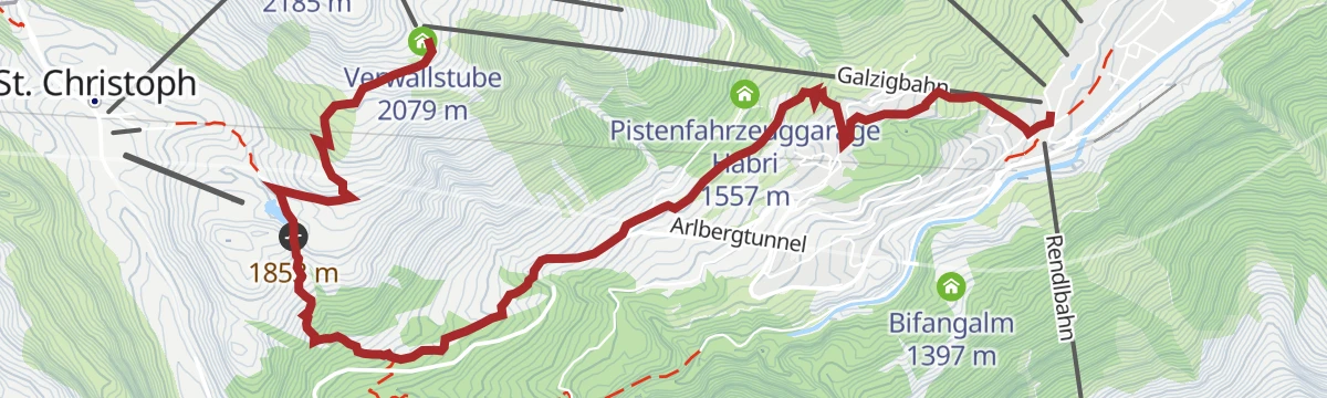
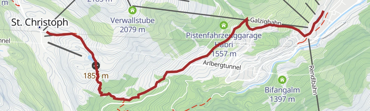
Galzig Bergstation - St. Anton
A descent-only walk from the Galzig mountain station down to St. Anton past the Verwallstube and Sennhütte — take the Galzigbahn up, then wander back to the village at an easy grade.
- 6.6 km
- Distance
- 26 m
- Ascent
- 1 h 36 min
- Duration
- 58
- Check-ins
Arlberg Trail Lech - St. Anton (Moderate Alternative)
A moderate way to walk from Lech to St. Anton: over the Flexenpass and past the Valfagehralpe to the Ulmer Hütte, letting lifts and gentler paths replace the original stage's biggest climbs.
- 10.7 km
- Distance
- 882 m
- Ascent
- 5 h 39 min
- Duration
- 80
- Check-ins
Heilbronner Hütte - 2.320m
A long march from St. Anton into the Verwall to the Neue Heilbronner Hütte at 2,320 m by way of the Konstanzer Hütte — a serious full-day undertaking deep in the range.
- 19.4 km
- Distance
- 1 212 m
- Ascent
- 8 h 19 min
- Duration
- 86
- Check-ins
Sankt Anton - Darmstädter Hütte
The ski route from St. Anton up the Moostal to the Darmstädter Hütte, 1,144 m of climbing in 10.2 km.
- 10.1 km
- Distance
- 0 m
- Ascent
- 0 m
- Descent
- 2 h 28 min
- Duration
Open route PeakVisor tTRL (OpenStreetMap piste_type=skitour)Darmstädter Hütte 771
A signposted forest-road climb from St. Anton am Arlberg past the Bifangalm, gaining over 1,300 m to the hut at 2,384 m in the Verwall.
- 25.3 km
- Distance
- 1 333 m
- Ascent
- 3 h 39 min
- Duration
- 52
- Check-ins
Bike Trail Tirol Etappe 31
A stage linking the upper Lechtal with the Arlberg, crossing the Flexenpass above Lech and finishing high on the pass road.
- 34.7 km
- Distance
- 1 249 m
- Ascent
- 4 h 15 min
- Duration
- 89
- Check-ins
Sonnenweg
A sunny balcony path on the slopes above St. Anton, linking viewpoints such as Sonnegg and Thony's before returning to the village centre — easy walking with long Verwall views.
- 5.5 km
- Distance
- 249 m
- Ascent
- 1 h 55 min
- Duration
- 51
- Check-ins
Sonnenaufgangswanderung Gampen
A pre-dawn climb from St. Anton to Gampen timed for sunrise — around 550 m of ascent rewarded with first light over the Verwall and breakfast at the Himmeleck.
- 4.1 km
- Distance
- 543 m
- Ascent
- 3 h 11 min
- Duration
- 66
- Check-ins
Ulmer Hütte, 2.285m
The direct hut climb from St. Anton to the Ulmer Hütte at 2,285 m, gaining almost 1,000 m from the village; the lift network offers an easier ride back down.
- 6.6 km
- Distance
- 992 m
- Ascent
- 5 h 43 min
- Duration
- 75
- Check-ins
Sankt Anton - Fatlarspitze
From St. Anton to the Fatlarspitze, 1,686 m of climbing in 11.6 km to a high point of 2,947 m.
- 11.1 km
- Distance
- 0 m
- Ascent
- 0 m
- Descent
- 2 h 42 min
- Duration
Open route PeakVisor tTRL (OpenStreetMap piste_type=skitour)St. Anton - Kaunertaler Gletscher - St. Anton
A 104 km road ride from the Arlberg across to the Kaunertal and up the glacier road to 2,750 m, over 4,000 m of climbing in the day.
- 156.4 km
- Distance
- 4 157 m
- Ascent
- 17 h 48 min
- Duration
- 86
- Check-ins
Stockibach-Runde
A short loop on the edge of St. Anton along the Stockibach stream, easy underfoot and handy from the village centre — a stroll rather than a mountain route.
- 3.5 km
- Distance
- 109 m
- Ascent
- 1 h 5 min
- Duration
- 45
- Check-ins
Arlberg Trail St. Anton - Stuben (leichte Alternative)
The easier variant of the St. Anton-to-Stuben stage, climbing past the Rasthaus Valfagehr to the Hospiz Alm at St. Christoph before the crossing toward Stuben — lifts trim the hardest work.
- 11.7 km
- Distance
- 701 m
- Ascent
- 4 h 51 min
- Duration
- 64
- Check-ins
Arlberg Trail Etappe St. Anton - Stuben (Originalroute)
The original opening stage of the Arlberg Trail, leaving St. Anton for Stuben with a passage by the Kaltenberghütte — over 1,500 m of climbing before the descent to the quiet village.
- 17.4 km
- Distance
- 1 569 m
- Ascent
- 9 h 51 min
- Duration
- 71
- Check-ins
Sankt Anton - Kreuzjochspitze
A ski tour from St. Anton to the Kreuzjochspitze, 1,605 m of climbing in 9.5 km to 2,892 m.
- 8.8 km
- Distance
- 0 m
- Ascent
- 0 m
- Descent
- 2 h 9 min
- Duration
Open route PeakVisor tTRL (OpenStreetMap piste_type=skitour)Bike & Hike Konstanzer Hütte - Scheidseen - Heilbronner Hütte - Valschavielsee - Kessisee
A long day from St. Anton am Arlberg through the Rosannaschlucht to the Konstanzer Hütte, with the high lakes and Heilbronner Hütte on foot.
- 46.8 km
- Distance
- 1 851 m
- Ascent
- 5 h 54 min
- Duration
- 69
- Check-ins
Mutspuren - der Rundwanderweg
A themed circular walk above St. Anton whose stations pick up stories of courage, climbing gently toward the Arlensattel before looping back — family-friendly with a modest 265 m of ascent.
- 4.9 km
- Distance
- 265 m
- Ascent
- 1 h 54 min
- Duration
- 33
- Check-ins
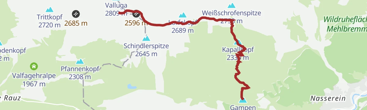
Gampen - Valluga
A ridge hike from the Gampen lift station over the Kapallkopf and past the Valluga View platform toward the Valfagehrjoch, high above St. Anton with the Valluga in sight most of the way.
- 6.0 km
- Distance
- 871 m
- Ascent
- 5 h 2 min
- Duration
- 60
- Check-ins
Jakobsweg - Strengen -Flirsch – Schnann – Pettneu – St. Jakob – St. Anton - Mooserweg - St. Christoph (Umleitung Zintlkopf)
A 29 km pilgrimage stage through the Stanzertal villages — Strengen, Flirsch, Schnann, Pettneu and St. Jakob — before climbing via the Mooserweg to St. Christoph; a diversion currently avoids the Zintlkopf.
- 29.8 km
- Distance
- 1 582 m
- Ascent
- 11 h 22 min
- Duration
- 68
- Check-ins
Sankt Anton - Madaunjöchli
1,529 m on skis from St. Anton to the Madaunjöchli, 10 km with its high point at 2,790 m.
- 9.5 km
- Distance
- 0 m
- Ascent
- 0 m
- Descent
- 2 h 19 min
- Duration
Open route PeakVisor tTRL (OpenStreetMap piste_type=skitour)Bike & Hike Moostal - Sattelwaldweg - Konstanzer Hütte - Langsee
A long circuit from St. Anton am Arlberg to the Konstanzer Hütte, out through the Moostal and back over the Sattelwaldweg by the Salzhütte.
- 37.3 km
- Distance
- 1 395 m
- Ascent
- 4 h 38 min
- Duration
- 67
- Check-ins
Senn's WunderWanderWeg
A one-kilometre discovery path at the Sennhütte above St. Anton, built for small children with play stations along the way — reachable on foot, by bike or by car.
- 1.1 km
- Distance
- 90 m
- Ascent
- 35 min
- Duration
- 15
- Check-ins
St. Anton - Konstanzer Hütte
A steady approach from St. Anton into the Verwall to the Konstanzer Hütte, following the long valley on good tracks — a classic hut walk without technical ground.
- 10.9 km
- Distance
- 636 m
- Ascent
- 4 h 27 min
- Duration
- 59
- Check-ins
St. Anton - Langsee
A long day from St. Anton into the Verwall to the Langsee, pushing on past the Konstanzer Hütte to reach the mountain lake — remote in feel despite the good approach tracks.
- 16.3 km
- Distance
- 915 m
- Ascent
- 6 h 28 min
- Duration
- 65
- Check-ins
Sankt Anton - Saumspitze
The Saumspitze from St. Anton: 1,736 m of climbing in 11.5 km, topping out just above 3,000 m.
- 11.0 km
- Distance
- 0 m
- Ascent
- 0 m
- Descent
- 2 h 41 min
- Duration
Open route PeakVisor tTRL (OpenStreetMap piste_type=skitour)Bike & Hike St. Anton - Konstanzer Hütte - Fasultal - Schottensee
A long ride up to the Konstanzer Hütte, continuing into the Fasultal with the Schottensee reached on foot at the head of the valley.
- 38.4 km
- Distance
- 1 724 m
- Ascent
- 5 h 2 min
- Duration
- 63
- Check-ins
Leutkircher Hütte - Kaiserjochhaus
A short Lechtaler Höhenweg leg from the Leutkircher Hütte below the Stanskogel to the Kaiserjochhaus, which sits in a sheltered hollow at the Kaiserjoch; the Hoher Riffler dominates the view across the valley.
- 4.4 km
- Distance
- 312 m
- Ascent
- 1 h 59 min
- Duration
- 14
- Check-ins
St. Anton - Galzig Bergstation
The uphill walk from St. Anton to the Galzig mountain station — 800 m of steady climbing past the Sennhütte, with the option of riding the cable car back down.
- 6.6 km
- Distance
- 800 m
- Ascent
- 4 h 46 min
- Duration
- 58
- Check-ins
St. Anton - kleiner Patteriol
A very long Verwall day from St. Anton past the Konstanzer Hütte toward the Kleiner Patteriol, a rocky satellite of the range's best-known peak; nearly 1,900 m of ascent demands an early start.
- 29.2 km
- Distance
- 1 888 m
- Ascent
- 12 h 50 min
- Duration
- 56
- Check-ins
Sankt Anton - Scheibler
A ski tour from St. Anton to the Scheibler, 1,732 m of climbing in 13 km from the valley at 1,300 m to 2,966 m.
- 12.3 km
- Distance
- 0 m
- Ascent
- 0 m
- Descent
- 3 h
- Duration
Open route PeakVisor tTRL (OpenStreetMap piste_type=skitour)Bike & Hike kleiner Patteriol
A ride deep into the valley behind St. Anton am Arlberg as far as the Konstanzer Hütte, with the Kleiner Patteriol climbed on foot from there.
- 31.7 km
- Distance
- 1 814 m
- Ascent
- 4 h 50 min
- Duration
- 62
- Check-ins
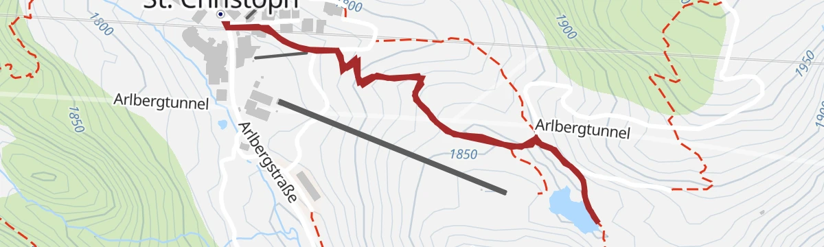
St. Christoph - Maiensee
A short stroll from St. Christoph am Arlberg out to the little Maiensee, with the Hospiz Alm at hand for refreshment — an easy high-altitude leg-stretcher near the pass.
- 2.2 km
- Distance
- 111 m
- Ascent
- 48 min
- Duration
- 6
- Check-ins
Arlenweg
A climbing path from St. Anton up through the Arlen slopes toward the Galzig area — close to 700 m of ascent, with the Sennhütte and mountain restaurants for a pause.
- 8.3 km
- Distance
- 693 m
- Ascent
- 4 h 25 min
- Duration
- 56
- Check-ins
Darmstädter Hütte, 2384 m
From St. Anton up the Moostal to the Darmstädter Hütte at 2,384 m — a steady 1,200 m ascent to a hut set high in the inner Verwall.
- 12.2 km
- Distance
- 1 211 m
- Ascent
- 7 h 28 min
- Duration
- 48
- Check-ins
Wagnerhütte - Neue Heilbronner Hütte
A long approach on skis up the Verwalltal from the Wagnerhütte to the Neue Heilbronner Hütte, 946 m of climbing in 13.6 km.
- 13.2 km
- Distance
- 0 m
- Ascent
- 0 m
- Descent
- 3 h 13 min
- Duration
Open route PeakVisor tTRL (OpenStreetMap piste_type=skitour)Bike & Hike Darmstädter Hütte und Scheibler
A ride from St. Anton am Arlberg to the Darmstädter Hütte, from where the ascent of the Scheibler continues on foot.
- 31.2 km
- Distance
- 2 025 m
- Ascent
- 5 h 13 min
- Duration
- 57
- Check-ins
Alpenrosenweg
An easy path on the Rendl side of St. Anton past the Rendlalpe, named for the alpine roses that colour the slopes in early summer — reachable by car, bus, bike or train.
- 5.0 km
- Distance
- 164 m
- Ascent
- 1 h 34 min
- Duration
Maienweg
A steady climb from St. Anton toward St. Christoph on an old connecting path — nearly 600 m up through woods and meadows, with the Hospiz Alm at the top.
- 6.2 km
- Distance
- 579 m
- Ascent
- 3 h 36 min
- Duration
- 56
- Check-ins
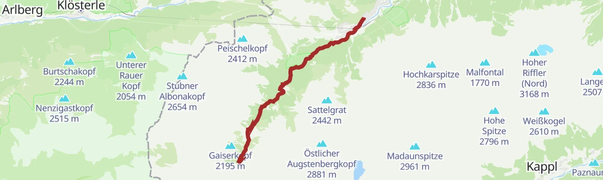
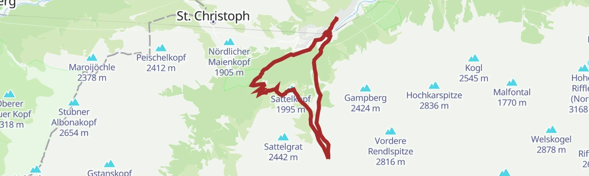
Sattelkopf über Moostal
The Moostal approach to the Sattelkopf on St. Anton's Rendl side, past the Bifangalm — a 15 km day with over 900 m of climbing and a wide view of the Verwall from the top.
- 15.1 km
- Distance
- 923 m
- Ascent
- 6 h 22 min
- Duration
- 45
- Check-ins
No routes of this kind in St. Anton am Arlberg yet.
The region's own picks

Featured route
Gampen - Grün - St. Anton
An easy, lift-assisted descent from Gampen back to St. Anton, with the Sennhütte a natural refreshment stop on the way down to the village.
Planning a trip to St. Anton am Arlberg?
Everything else Tyrol has, in one place


Take St. Anton am Arlberg with you into the mountains
Every route on this page with 3D terrain, GPX navigation and offline maps — including the valleys with no signal.
Data sources
- Official website: stantonamarlberg.com ↗
- Routes and highlights: St. Anton am Arlberg, PeakVisor tTRL (OpenStreetMap piste_type=skitour), Tirol Werbung, PeakVisor / OpenStreetMap, TVB Paznaun-Ischgl, Lechtal Tourismus
- Published as open data by the tourist boards named above.
- Region summary generated from the board's own material.
