
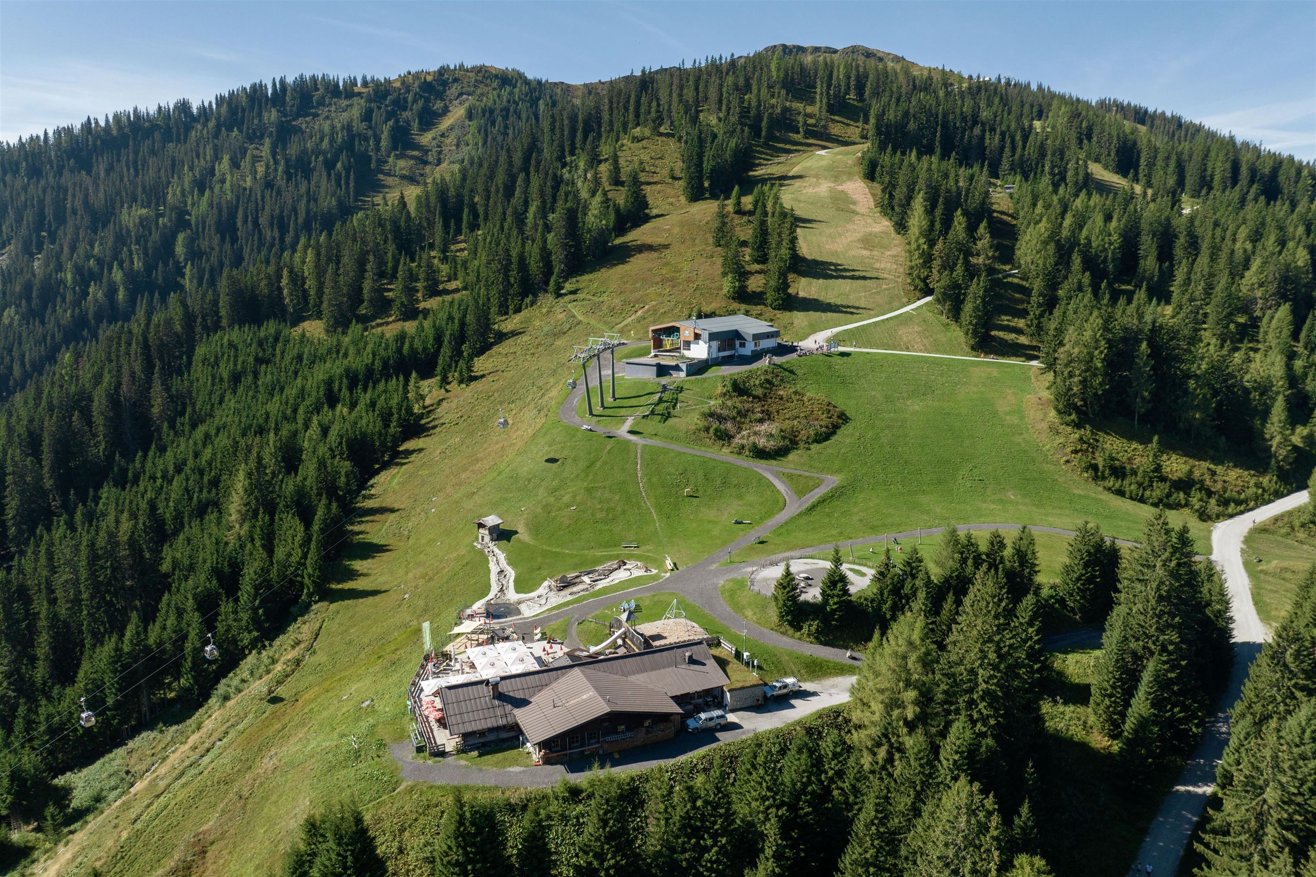
 Mountain hut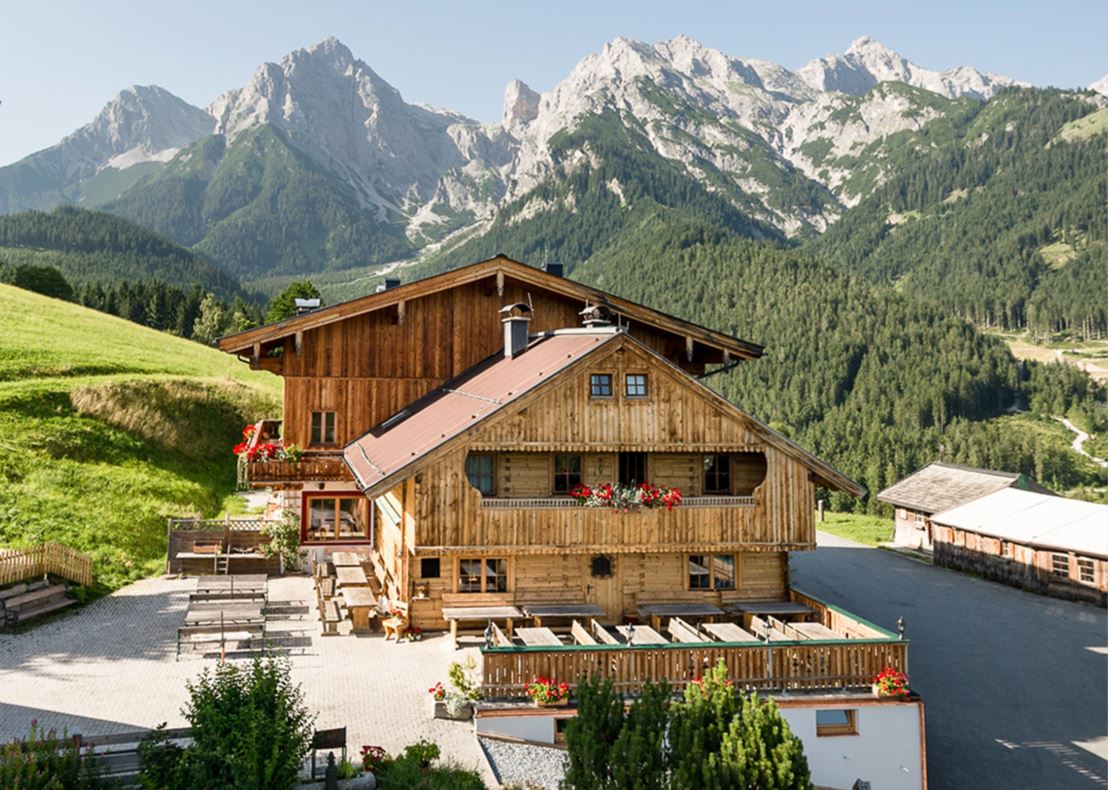

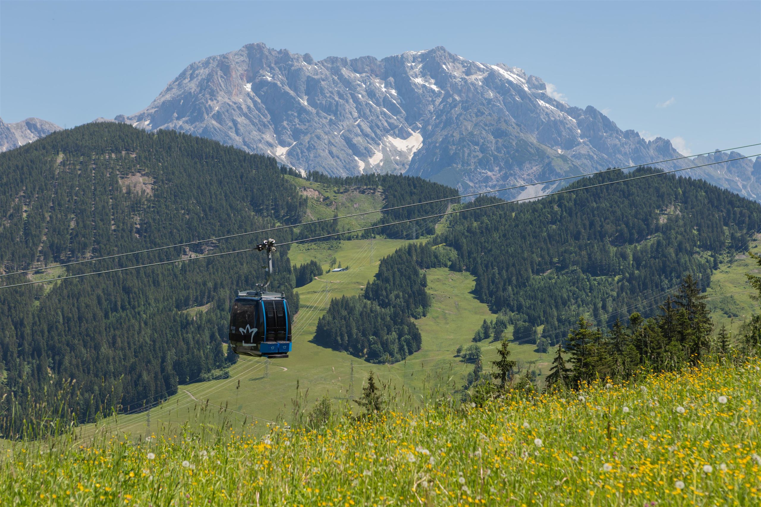
 Cable car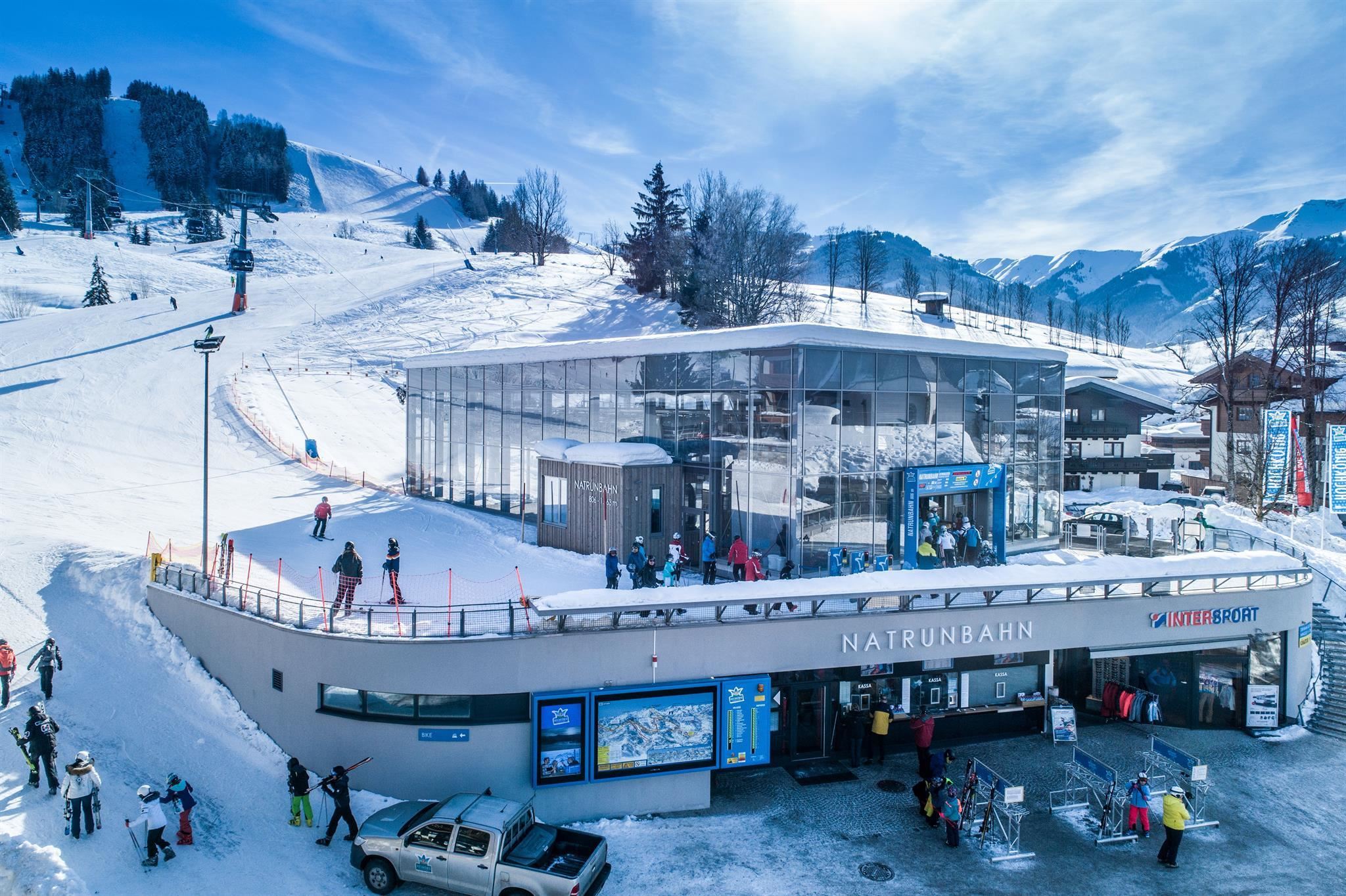


Curated by Hochkönig Tourismus
Saalfelden am Steinernen Meer
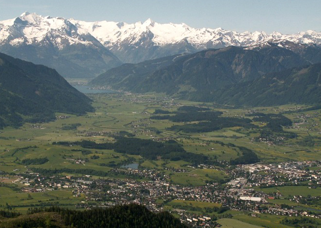
The Pinzgau's most populous town, spread across a wide basin between Steinernes Meer and Leoganger Steinberge, with an autumn jazz festival and a cliff hermitage above.
- 2Highlights
- 20Routes
- Featured summit · Kienalkopf
Highlights
13 from neighbouring places
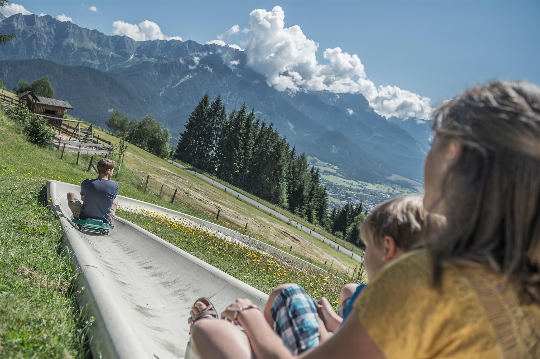
Sommerrodelbahn am Biberg
A summer toboggan run on the Biberg near Saalfelden, close to Maria Alm, descending through meadows and woods on a rail track.
Golfclub Gut Brandlhof
A golf course at the Brandlhof estate near Saalfelden, laid out along the Saalach river beneath the Steinernes Meer.
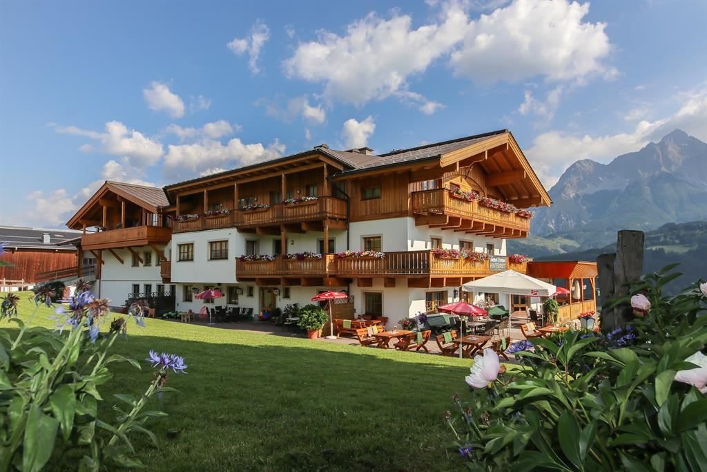
Gasthof Kronreith
5.5 km away, in Maria Alm am Steinernen Meer
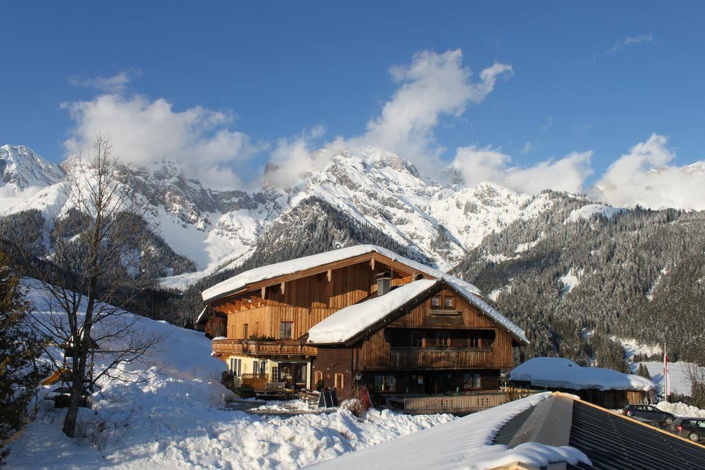
A mountain inn above Maria Alm with a restaurant of Austrian and regional dishes, set on the sunny slope north of the village.
Gasthof Kronreith 1.000 m
5.5 km away, in Maria Alm am Steinernen Meer
Gasthof Kronreith at 1,000 m above Maria Alm, a mountain inn and restaurant looking across towards the Steinernes Meer.
Berggasthof Hinterreit 900 m
5.8 km away, in Maria Alm am Steinernen Meer
A mountain inn at 900 m near Maria Alm in the Hinterreit area, with a restaurant serving Austrian and regional classics.
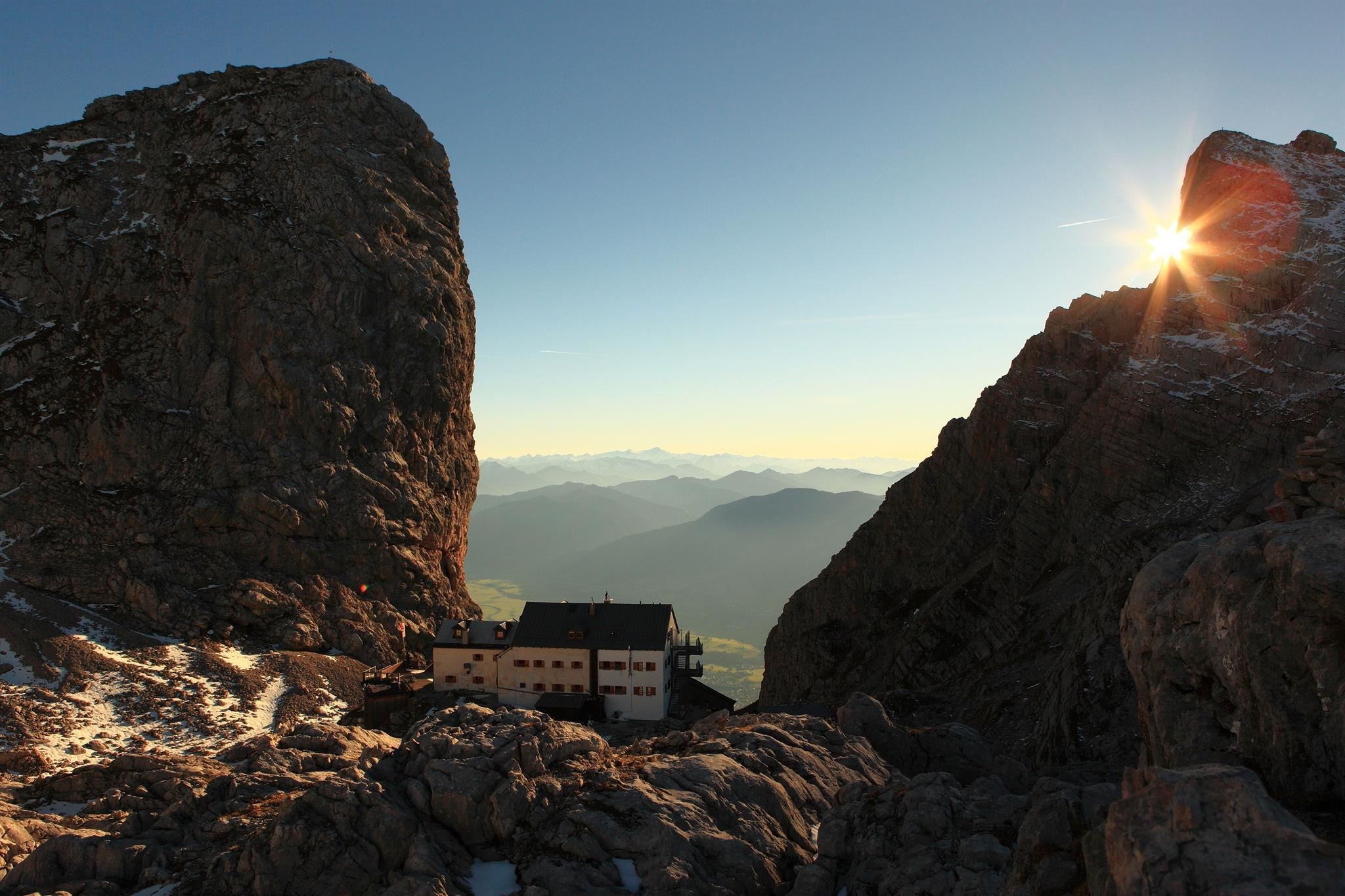
Riemannhaus 2.177 m
5.9 km away, in Maria Alm am Steinernen Meer
An alpine club refuge at 2,177 m on the rim of the Steinernes Meer plateau above Maria Alm, reached by a steep marked ascent from the valley.
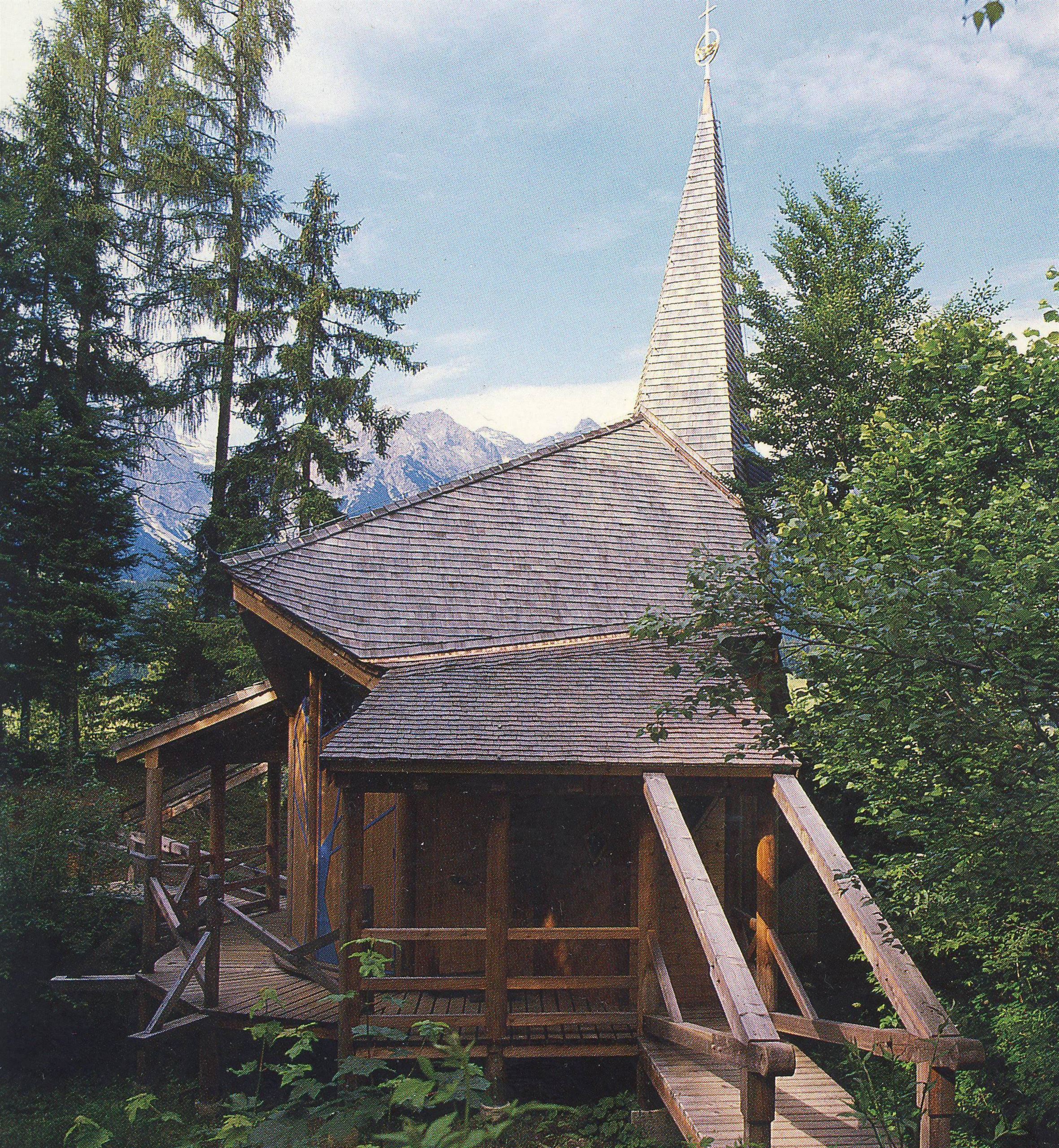
Dorothea+Bruder Klaus Friedenskapelle
6 km away, in Maria Alm am Steinernen Meer
A peace chapel at Maria Alm dedicated to the Swiss hermit Brother Klaus and his wife Dorothea, a quiet stop on walks near the village.
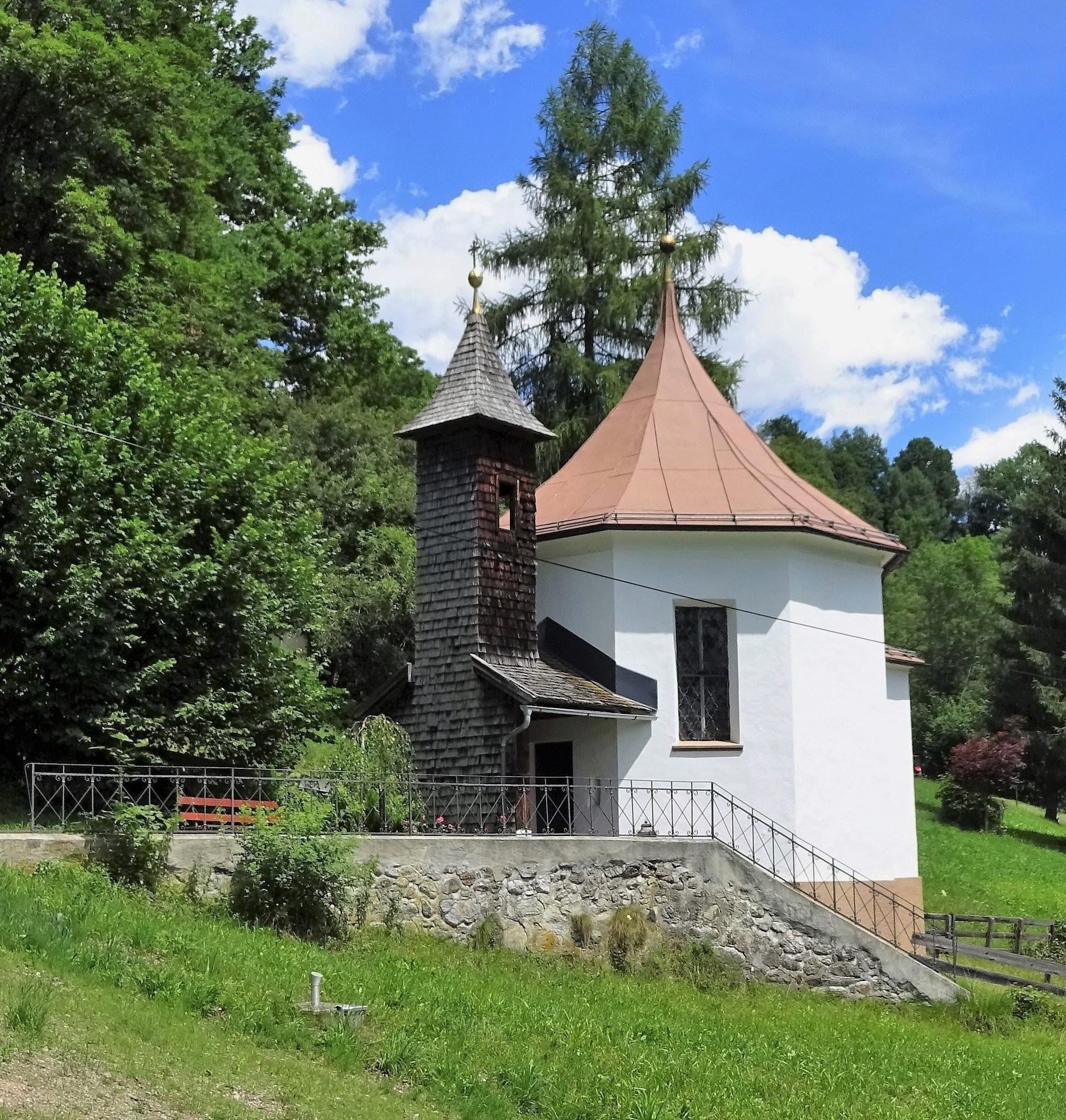
Gastegkapelle
6 km away, in Maria Alm am Steinernen Meer
A small wayside chapel at the Gasteg farmstead near Maria Alm, one of the village's scattered rural chapels.
Bogenschnupperkurs
6.4 km away, in Maria Alm am Steinernen Meer
A taster archery course at Maria Alm where beginners and families learn to shoot bow and crossbow under instruction.
Waldrutschenpark Natrun
6.4 km away, in Maria Alm am Steinernen Meer
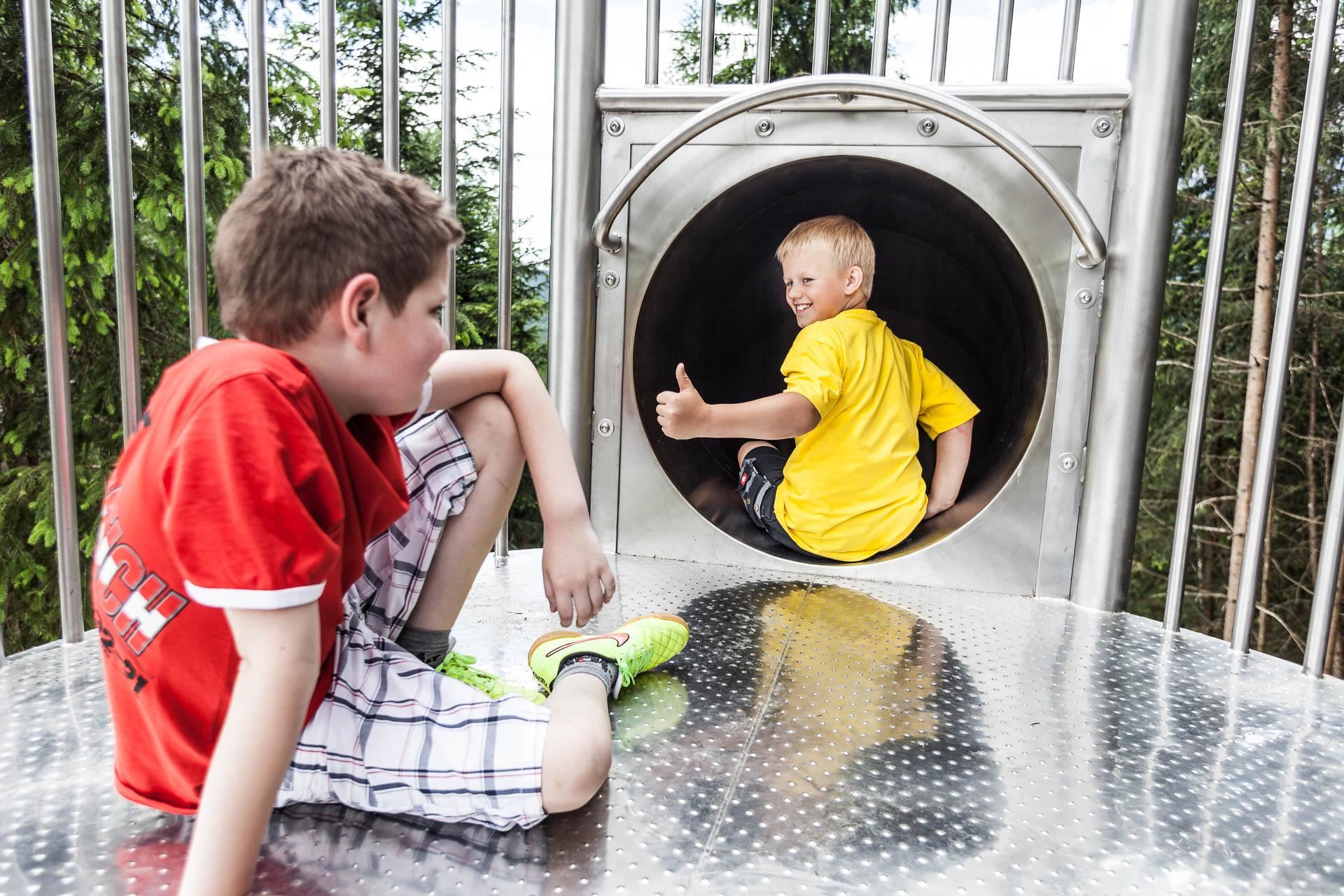
A forest slide park on the Natrun above Maria Alm, where long slides drop between the trees beside walking paths and playgrounds.
Karbachalmbahn 6er Kabinenbahn 1.599 m
6.4 km away, in Maria Alm am Steinernen Meer
The Karbachalm six-person gondola at Mühlbach am Hochkönig, listed at 1,599 m, linking the village with the alm meadows above it.
Natrunbahn 10er Kabinenbahn
6.5 km away, in Maria Alm am Steinernen Meer
A ten-person gondola from Maria Alm up the Natrun, the village's family mountain with a forest slide park, playgrounds and easy trails.
Natrunbahn 10er Kabinenbahn 1.163 m
6.5 km away, in Maria Alm am Steinernen Meer
The Natrun ten-person gondola at Maria Alm, listed at 1,163 m, lifting families to the slide park and walking paths on the wooded hill.
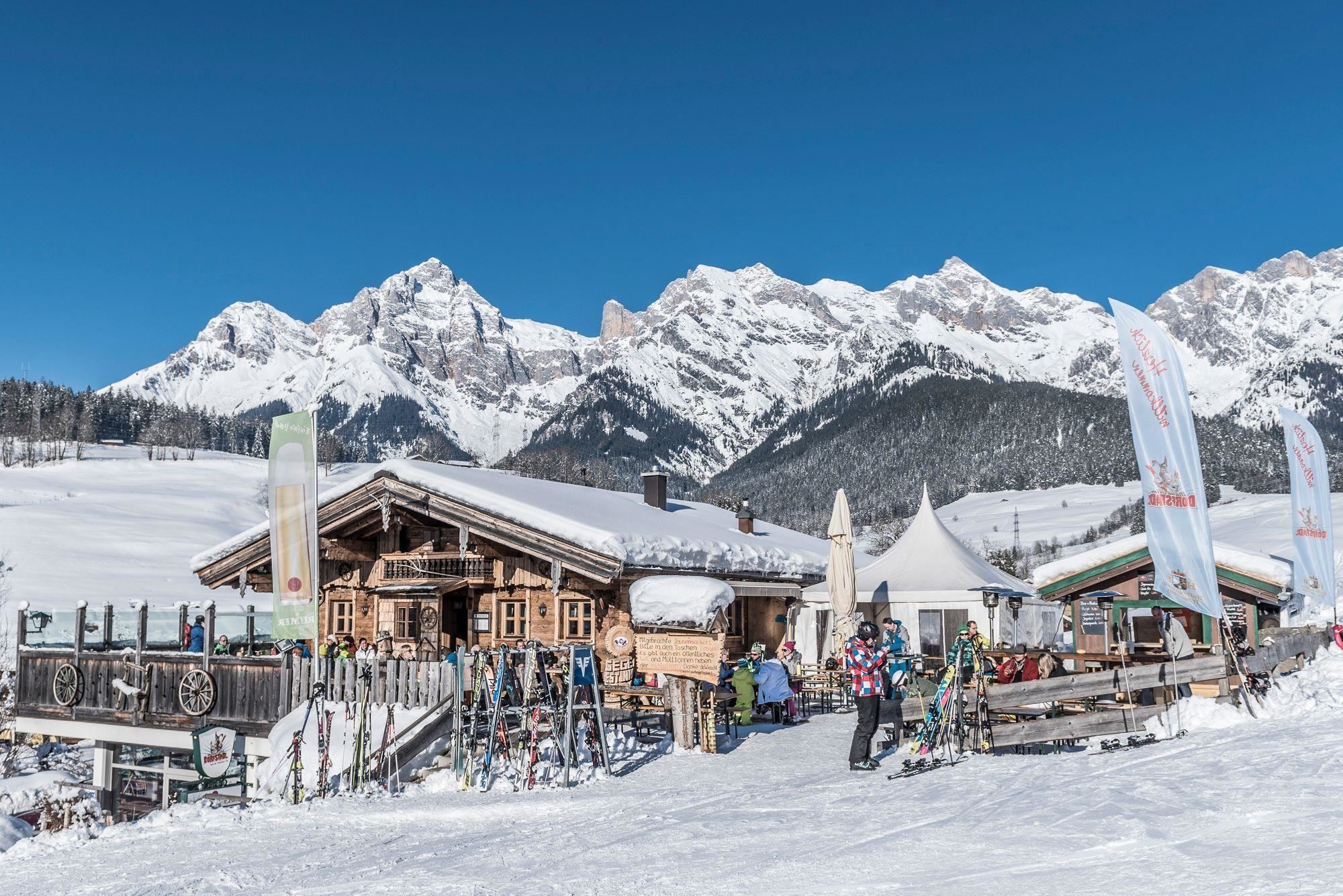
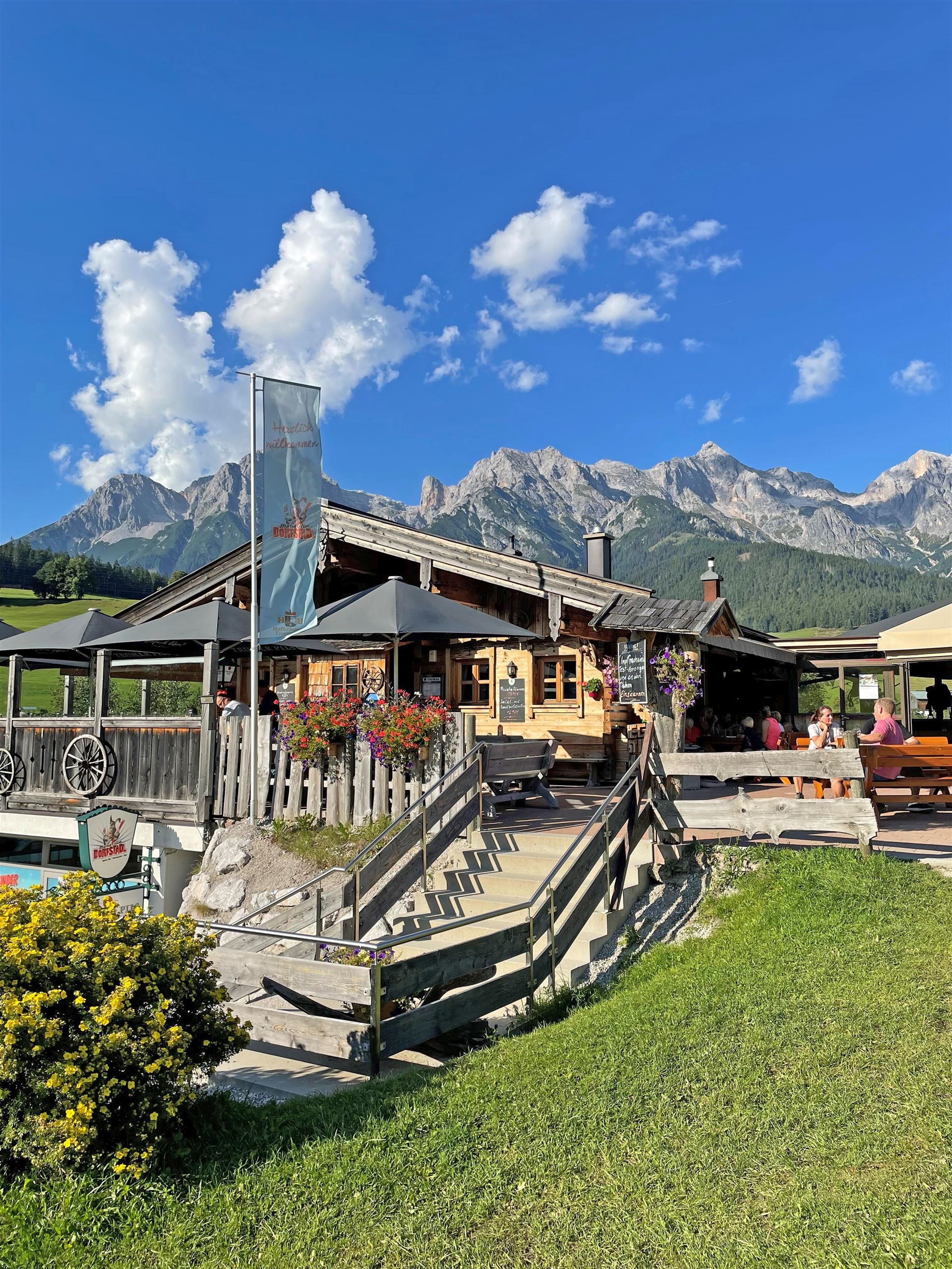
Dorfstadl
6.6 km away, in Maria Alm am Steinernen Meer
A ski hut and restaurant in Maria Alm combining Austrian home cooking with an après-ski bar at the edge of the village slopes.
Dorfstadl 815 m
6.6 km away, in Maria Alm am Steinernen Meer
The Dorfstadl at 815 m in Maria Alm, a bar-restaurant by the village base area serving regional Austrian food through the year.
Nothing of this kind in Saalfelden am Steinernen Meer.
Routes
Klettersteig Persailhorn Süd
A via ferrata threading the sunny south-west face of the Persailhorn, reached past the Peter-Wiechenthaler-Hütte, with 1,628 m of ascent in all.
- 6.4 km
- Distance
- 1 651 m
- Ascent
- 7 h 42 min
- Duration
- 53
- Check-ins
Familienwanderung Rundweg Golfplatz
A flat 6 km circuit of the golf course at Maria Alm, with only 50 m of climbing.
- 6.1 km
- Distance
- 43 m
- Ascent
- 1 h 32 min
- Duration
- 7
- Check-ins
Hinterreit Rundweg
A gentle circuit at Hinterreit above Saalfelden am Steinernen Meer, passing the Brandstatthof with little height to gain.
- 7.7 km
- Distance
- 162 m
- Ascent
- 2 h 12 min
- Duration
- 1
- Check-ins
Gipfelstürmertour Schwalbenwand
A 1,200 m summit walk from Maria Alm over the Hofer Plattl to the Schwalbenwand, 16.5 km in all.
- 16.5 km
- Distance
- 1 266 m
- Ascent
- 8 h 16 min
- Duration
- 23
- Check-ins
Skitour Schwalbenwand (Nordanstieg)
The north side of the Schwalbenwand, 1,100 m of steady steep skinning past the Oberstegalm.
- 9.7 km
- Distance
- 1 114 m
- Ascent
- 1 114 m
- Descent
- 4 h 6 min
- Duration
- 1
- Check-ins
Gravelbiketour Hinterreitrunde
A short gravel circuit on the slopes above Maria Alm, passing the Theurerhof campsite and the Brandstatthof farm with under 200 m of climbing.
- 8.8 km
- Distance
- 155 m
- Ascent
- 56 min
- Duration
- 3
- Check-ins
MTB Tour - Hundstein Runde (Tour 5)
A full-day circuit from Maria Alm over the ridge at 2,117 m and on across Langegg and the Ronachkopf, returning by way of the Enzianhütte.
- 42.7 km
- Distance
- 1 446 m
- Ascent
- 5 h 9 min
- Duration
- 86
- Check-ins
11 Rund um das Kitzbüheler Horn
A long road circuit right around the Horn, from the Glemmtal over the Pass Thurn and back through Kitzbühel on the way home.
- 115.9 km
- Distance
- 1 673 m
- Ascent
- 11 h 51 min
- Duration
- 56
- Check-ins
Rundwanderung Bergerbauer über Dürnberg zum Gasthof Kronreith
An easy round from Maria Alm past the golf course and the Bergerbauer, then over the Dürnberg to the Gasthof Kronreith.
- 6.6 km
- Distance
- 237 m
- Ascent
- 2 h 8 min
- Duration
- 2
- Check-ins
e-Bike Tour - Hinterreit Runde
An easy motor-assisted round of twelve kilometres on the tracks around the Theurerhof and the Brandstatthof, with little more than 200 m of climbing.
- 12.3 km
- Distance
- 181 m
- Ascent
- 1 h 16 min
- Duration
- 3
- Check-ins
MTB Tour - Örgenbauer-Biberg Runde
A long forest-road round from Maria Alm past the Ritzensee, climbing to a mountain inn at 1,443 m by way of the Huggenberg and Unterbiberg alms.
- 36.1 km
- Distance
- 922 m
- Ascent
- 4 h 4 min
- Duration
- 35
- Check-ins
Pillerseerunde
A big road loop over Pass Grießen and Pass Strub, passing the Lamprechtshöhle in the Saalach valley and a lakeside stop at Blattl.
- 100.0 km
- Distance
- 1 191 m
- Ascent
- 9 h 59 min
- Duration
- 21
- Check-ins
Ironman - Rund um die Pinzgauer Grasberge
The Ironman bike loop round the Pinzgau grass mountains, out by Maria Alm and back along the Salzach.
- 63.8 km
- Distance
- 796 m
- Ascent
- 6 h 25 min
- Duration
- 20
- Check-ins
IRONMAN 70.3. WM-Radstrecke
The road racing circuit around Zell am See, running out to Bruck in the Salzach valley and over the Filzensattel before returning to the lake.
- 89.9 km
- Distance
- 1 247 m
- Ascent
- 9 h 9 min
- Duration
- 17
- Check-ins
Örgenbauernalm-Biberg Runde - Saalachtaler Panoramatour
A long round on forest roads above the Saalach valley, linking two alms at 1,320 and 1,440 m with a long descent to Maishofen.
- 40.1 km
- Distance
- 935 m
- Ascent
- 4 h 27 min
- Duration
- 12
- Check-ins
Dientner Runde + Rauriserhöhe
A long road circuit from Maria Alm over the Filzensattel to Bruck at the mouth of the Salzach valley, with a second big climb before the return.
- 72.7 km
- Distance
- 1 642 m
- Ascent
- 7 h 60 min
- Duration
- 16
- Check-ins
MTB Tour Ramseiden-Runde (Tour 1)
A bike round through Ramseiden by the Kronreith inn to the Hochreitshöhe lookout at 1,104 m.
- 18.8 km
- Distance
- 623 m
- Ascent
- 2 h 15 min
- Duration
- 1
- Check-ins
Radtour von Zell am See - Lofer
A valley ride from Zell am See north past Saalfelden to Lofer, by way of Sankt Martin and the Gasthaus at the Lamprechtshöhle.
- 42.4 km
- Distance
- 401 m
- Ascent
- 4 h 8 min
- Duration
- 6
- Check-ins
Gravelbike-Tour Ramseiden Runde
A gravel round through Ramseiden above Saalfelden, starting from below the Natrun lift.
- 18.0 km
- Distance
- 532 m
- Ascent
- 2 h 6 min
- Duration
Radtour Gerlingrunde
A gentle valley loop from Maishofen down to the shore of the Zeller See, returning through the meadows of the WiesenKönigReich.
- 33.6 km
- Distance
- 264 m
- Ascent
- 3 h 14 min
- Duration
- 5
- Check-ins
No routes of this kind in Saalfelden am Steinernen Meer yet.
The region's own picks

Featured route
Familienwanderung Rundweg Golfplatz
A flat 6 km circuit of the golf course at Maria Alm, with only 50 m of climbing.
Planning a trip to Saalfelden am Steinernen Meer?
Everything else Salzburg (state) has, in one place


Take Saalfelden am Steinernen Meer with you into the mountains
Every route on this page with 3D terrain, GPX navigation and offline maps — including the valleys with no signal.
Data sources
- Official website: saalfelden-leogang.com ↗
- Routes and highlights: Hochkönig Tourismus, Zell am See-Kaprun Tourismus, Kitzbühel Tourismus
- Published as open data by the tourist boards named above.
- Region summary generated from the board's own material.
