
 Mountain hut
 Historic site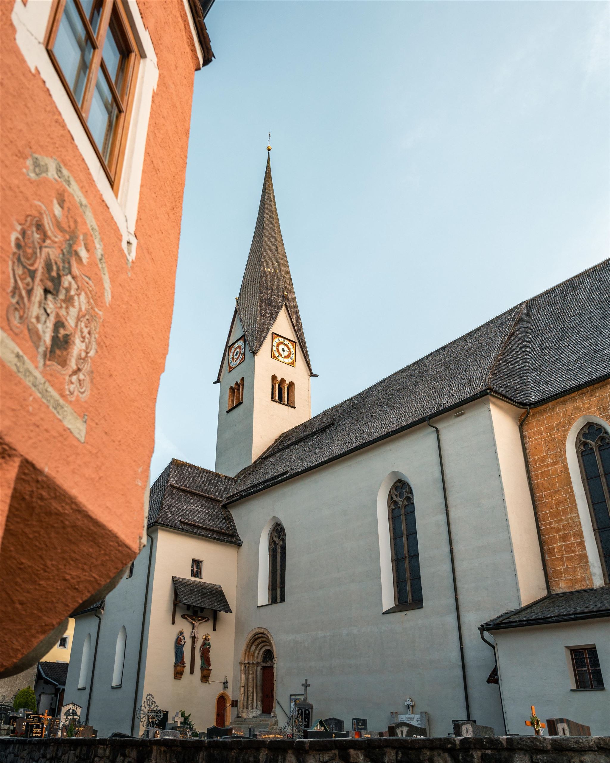
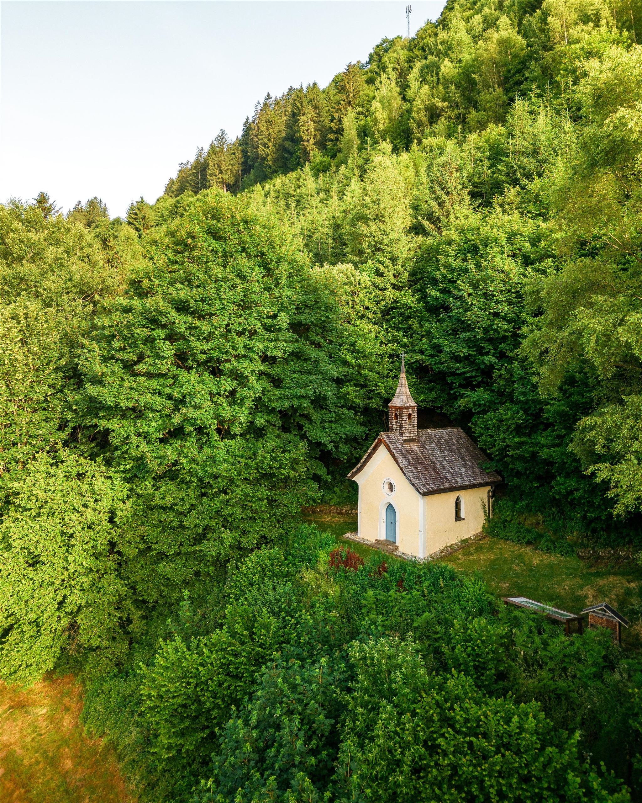
 Viewpoint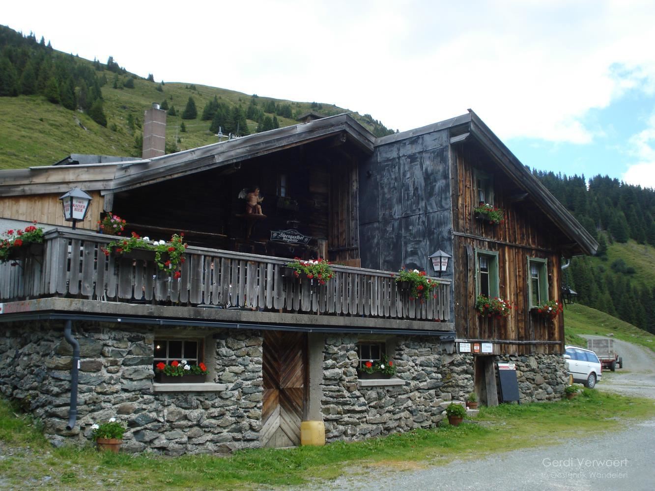










Curated by Kitzbüheler Alpen Tourismus
Saalbach-Hinterglemm
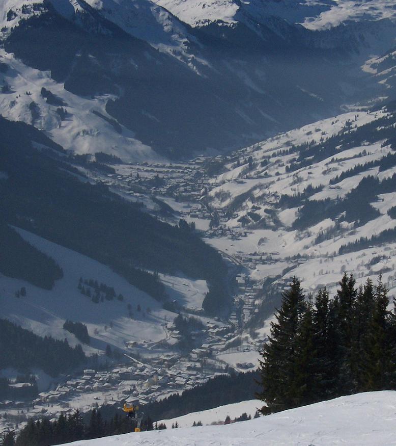
Twin villages filling the Glemmtal west of Zell am See, their linked grass-mountain lifts forming one of the largest ski circuits in the Alps and host of the 2025 world championships.
Photo: 667NotB · CC BY-SA 3.0 licence
- 1Highlights
- 6Routes
- Featured summit · Geißstein
Highlights
14 from neighbouring places
Spielberghaus
A mountain inn on the Spielberg in the Kitzbüheler Alpen, reached on foot or by bike in summer and known for its winter toboggan run.
Rodelbahn beim Alpengasthof Liebenberg
8.2 km away, in Uttendorf
A toboggan run beside the Alpengasthof Liebenberg above Uttendorf in the Pinzgau.
Boulderhalle Uttendorf
9.4 km away, in Uttendorf
An indoor bouldering wall at Uttendorf in the Pinzgau, used for climbing in poor weather.
Erlebnisbadesee Uttendorf
9.6 km away, in Uttendorf
A swimming lake with play facilities at Uttendorf, on the Salzach floor of the Pinzgau.
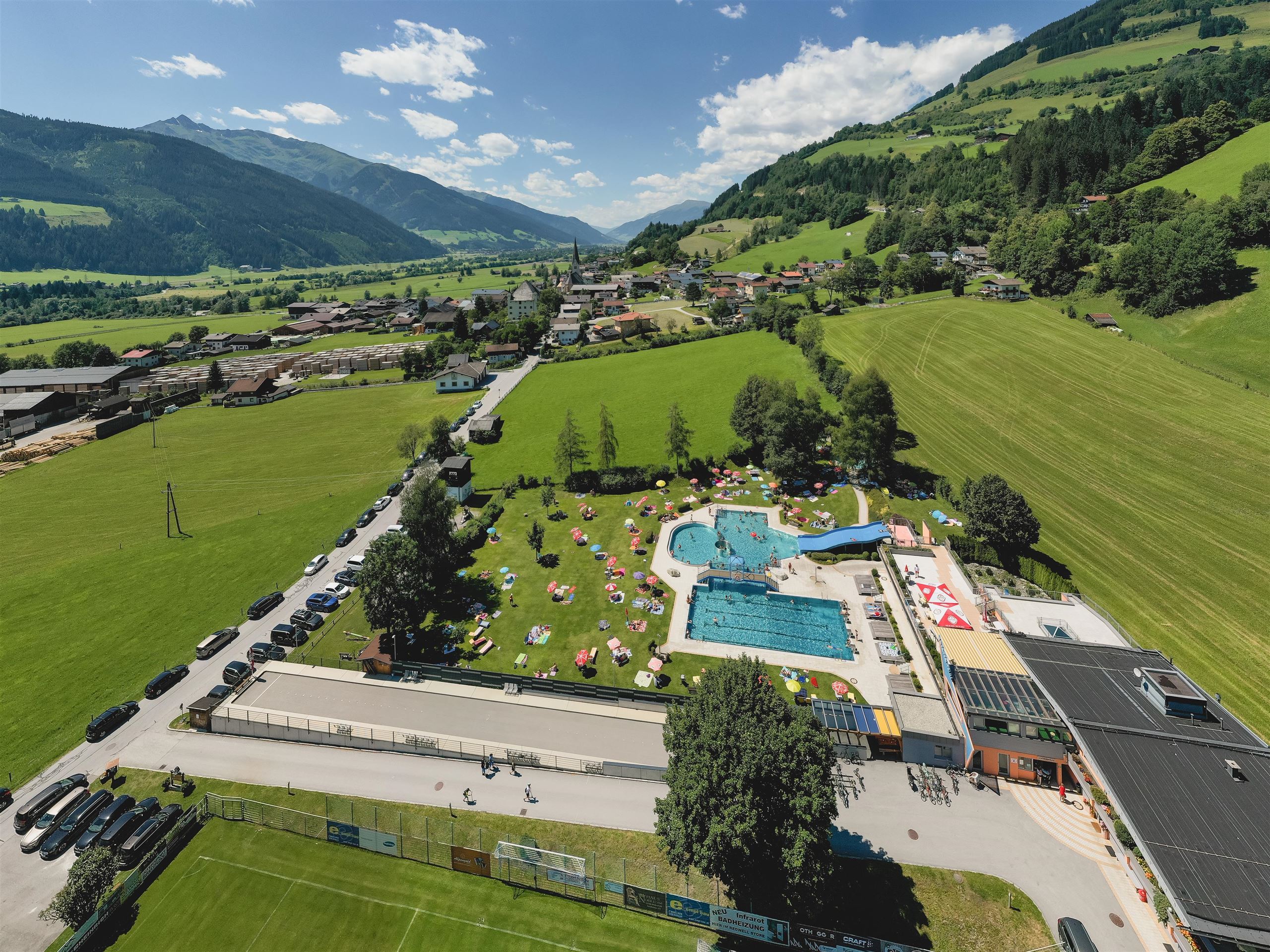
Freibad Stuhlfelden
9.9 km away, in Stuhlfelden
The outdoor swimming pool of Stuhlfelden, on the valley floor of the Oberpinzgau near Mittersill.
Freizeitzentrum Stuhlfelden
9.9 km away, in Stuhlfelden
The leisure centre of Stuhlfelden with an outdoor pool, ball-sport courts, a fun park and playgrounds, a summer meeting point for families.
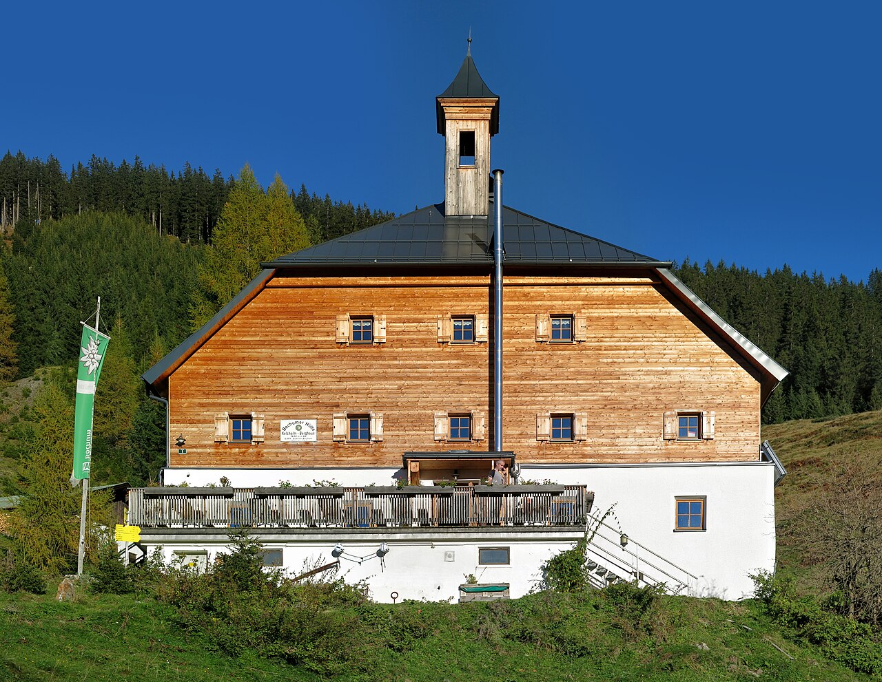
Kelchalm | Bochumer Hütte
9.9 km away, in Aurach bei Kitzbühel
A mountain hut in the former Kelchalm mining area above Aurach bei Kitzbühel, offering meals and simple overnight accommodation.
Schloss Lichtenau
10.1 km away, in Stuhlfelden
A small castle at Stuhlfelden in the Oberpinzgau, standing on the slope above the Salzach valley.
Wallfahrtskirche "Maria auf dem Stein"
10.2 km away, in Stuhlfelden
A pilgrimage church at Stuhlfelden built onto a rock, combining Romanesque and Gothic elements and long visited by Marian pilgrims.
Waldkapelle Stuhlfelden
10.2 km away, in Stuhlfelden
A forest chapel above Stuhlfelden, a small pilgrimage site reached on foot, with a clear outlook over the Oberpinzgau valley floor.
Bürglhütte 1.700 m
10.6 km away, in Stuhlfelden
A mountain hut at 1,700 m above Stuhlfelden, serving regional dishes to walkers on the slopes north of the Oberpinzgau valley.
Badesee Luziapark Niedernsill
10.7 km away, in Niedernsill
A swimming lake in the Luzia park at Niedernsill, on the Salzach floor of the Pinzgau.
Edelsteinpark Niedernsill
10.7 km away, in Niedernsill
A gemstone-themed park at Niedernsill in the Pinzgau, laid out for families.
Pinzgauer Hütte
10.8 km away, in Piesendorf
A mountain hut on the ridge north of Piesendorf, on the walking route between Zell am See and the Glemmtal.
Erlebnisberg Naglköpfl Piesendorf
10.9 km away, in Piesendorf
A small activity hill above Piesendorf in the Pinzgau, with a lift used by families in winter.
Nothing of this kind in Saalbach-Hinterglemm.
Routes
14 from neighbouring places
Stuhlfelden: Gaisstein
From the Bürglhütte a fairly quick 657 m climb reaches the 2,363 m Gaisstein, the home mountain of Stuhlfelden and one of Europe's highest grass summits.
- 5.5 km
- Distance
- 657 m
- Ascent
- 3 h 55 min
- Duration
- 7
- Check-ins
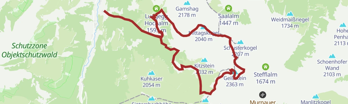
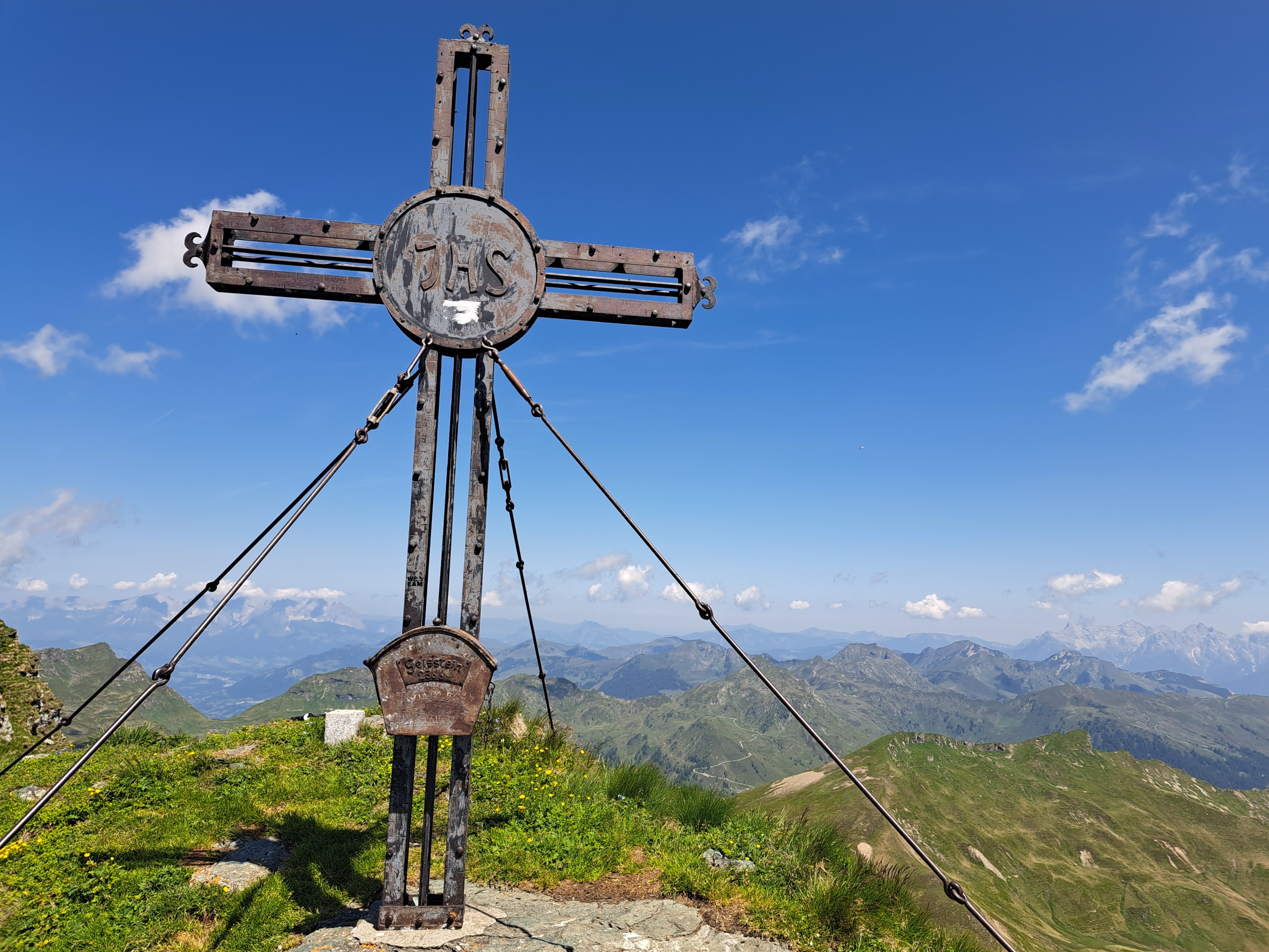
Geißstein
One of the biggest marked days around Jochberg: nearly 23 km over the Schusterscharte and Sintersbachscharte to a 2,363 m grass summit on the divide toward the Pinzgau.
- 23.5 km
- Distance
- 1 653 m
- Ascent
- 10 h 59 min
- Duration
- 15
- Check-ins
278 | Gerstboden
A forest-road climb on the Fieberbrunn side of the ridge, topping out by the Wetterkreuz and Reiter-Ost lift stations at about 1,620 m.
- 5.7 km
- Distance
- 628 m
- Ascent
- 1 h 27 min
- Duration
Panorama Alm Saalbach Runde
A big alm-road circuit crossing the Schanzl from Fieberbrunn to the Spielberghaus and the Bergeralm, with the hut at 1,619 m on the way.
- 35.2 km
- Distance
- 1 360 m
- Ascent
- 4 h 25 min
- Duration
- 60
- Check-ins
11 Rund um das Kitzbüheler Horn
A long road circuit right around the Horn, from the Glemmtal over the Pass Thurn and back through Kitzbühel on the way home.
- 115.9 km
- Distance
- 1 673 m
- Ascent
- 11 h 51 min
- Duration
- 56
- Check-ins
Hörndlingergraben - "Hennerleiter" - Spielberghaus Nr. 259 & 278
A long forest-road tour above Fieberbrunn linking the Pulvermacherscherm, the Luis Alm at 1,580 m and the Burgeralm, crossing the Schanzl.
- 21.5 km
- Distance
- 1 009 m
- Ascent
- 2 h 52 min
- Duration
- 17
- Check-ins
259 | Eiserne Hand - Hörndlingergraben
7.5 km away, in Fieberbrunn
A short, easy forest-road link above Fieberbrunn, running past the Pulvermacherscherm and the mid-station of the TirolS lift.
- 4.5 km
- Distance
- 233 m
- Ascent
- 38 min
- Duration
- 1
- Check-ins
Schreiende Brunnen - Pulvermacher Almhütte
7.5 km away, in Fieberbrunn
Easy walk up the Hörndlinger Graben to the 'screaming springs', karst outlets that surge audibly after rain, with the Pulvermacherscherm hut as the turnaround point.
- 4.5 km
- Distance
- 246 m
- Ascent
- 1 h 45 min
- Duration
- 1
- Check-ins
Klettersteig Himmel & Henne Fieberbrunn
8.2 km away, in Fieberbrunn
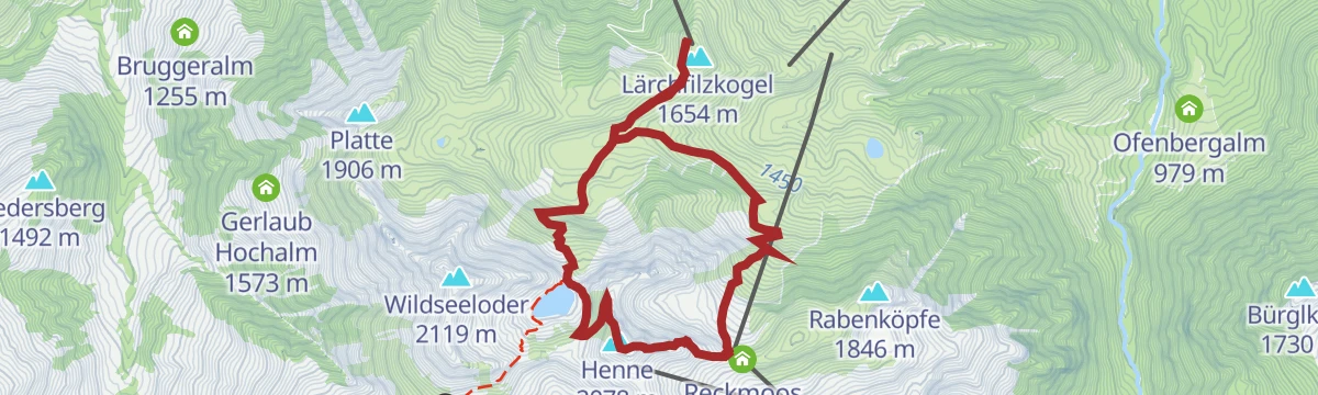
A via ferrata above Fieberbrunn reached from the Lärchfilzkogel lift via the Wildalmen, topping out on the Henne with a return past the Wildseeloderhaus and its lake.
- 7.1 km
- Distance
- 177 m
- Ascent
- 3 h 6 min
- Duration
- 31
- Check-ins
Schweinestberg Line
11.2 km away, in Fieberbrunn
An easy, near-level ride on the valley floor at Fieberbrunn, past the Biwak by D&D between the Obingleitnlift and Streuböden stations.
- 3.8 km
- Distance
- 22 m
- Ascent
- 21 min
- Duration
- 3
- Check-ins
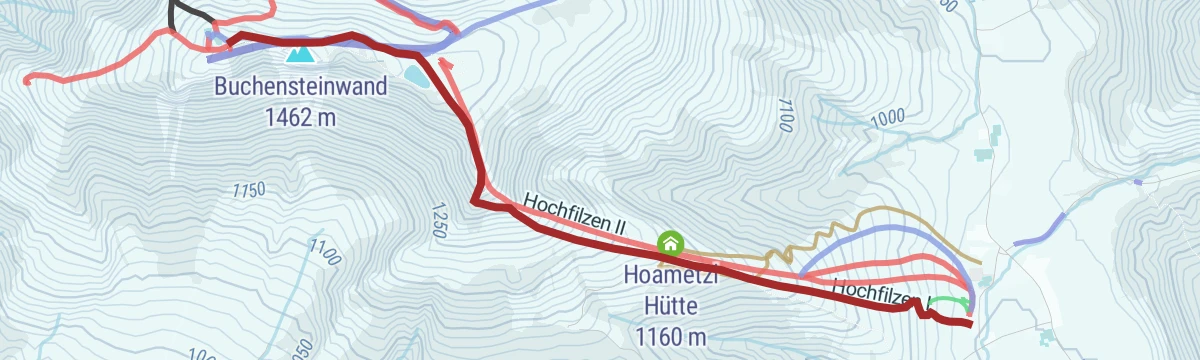
Pistentour Buchensteinwand Route 3 Hoametzl Aufstieg
12.4 km away, in Hochfilzen
A marked ascent from Hochfilzen up the Buchensteinwand's slopes past the Kantalm, topping out near the Jakobskreuz, the walk-in summit cross with its viewing platforms.
- 2.8 km
- Distance
- 495 m
- Ascent
- 495 m
- Descent
- 1 h 38 min
- Duration
- 35
- Check-ins
H12 Schneekatze
13.3 km away, in Kitzbühel
A short beginner ski-touring line at the BichlAlm above Kitzbühel — around 240 m of skinning on marked terrain, well sized for a first tour or a quick evening lap.
- 1.2 km
- Distance
- 243 m
- Ascent
- 243 m
- Descent
- 47 min
- Duration
- 14
- Check-ins
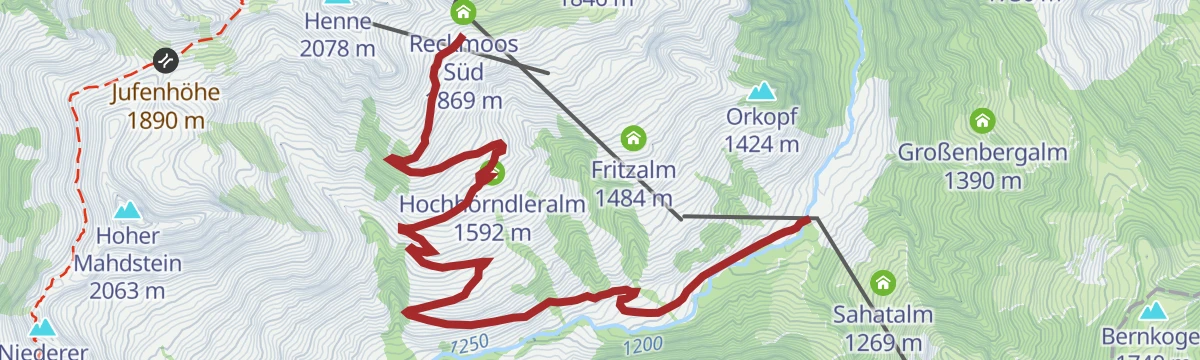
Hochhörndler Hütte 2020
6.1 km away, in Fieberbrunn
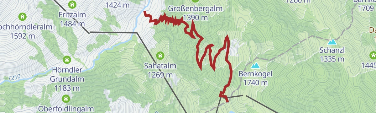
A steep forest-road climb from the TirolS mid-station above Fieberbrunn, past the Hörndler Grundalm and Hochhörndleralm to a hut at 1,800 m.
- 6.6 km
- Distance
- 751 m
- Ascent
- 1 h 43 min
- Duration
- 10
- Check-ins
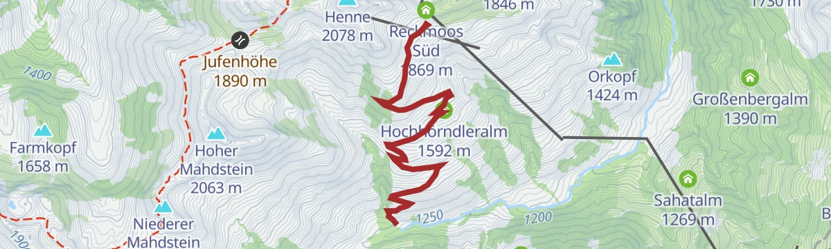
Hike Hochhörndler Hütte
6.4 km away, in Fieberbrunn
Steady forest climb out of the Hörndlinger Graben to a small hut on the Hochhörndleralm pastures high above Fieberbrunn.
- 9.0 km
- Distance
- 577 m
- Ascent
- 3 h 56 min
- Duration
- 9
- Check-ins
Spielberg über Burgeralm
7.9 km away, in Fieberbrunn
Sustained climb from the Eiserne Hand side over the Burgeralm and the Spielbergtörl to the Spielberghorn, gaining some 1,200 m on the ridge between Tirol and Salzburg.
- 7.9 km
- Distance
- 1 208 m
- Ascent
- 6 h 57 min
- Duration
- 13
- Check-ins
Bike & Hike Burgeralm - Spielberghorn - Kleberkopf
9.2 km away, in Fieberbrunn
A ride out of Fieberbrunn to the Spielbergtörl at 1,671 m, from where the two peaks either side of the pass are climbed on foot.
- 27.9 km
- Distance
- 1 541 m
- Ascent
- 4 h 9 min
- Duration
- 19
- Check-ins
E-Bike & Climb Himmel & Henne
8.6 km away, in Fieberbrunn
A long e-bike day above Fieberbrunn past the Hörndler Grundalm and the Hochhörndler Hütte to the Reckmoos huts at about 1,870 m.
- 34.9 km
- Distance
- 178 m
- Ascent
- 3 h 16 min
- Duration
- 25
- Check-ins
Streuböden Line
10.9 km away, in Fieberbrunn
A short, easy flow trail above Fieberbrunn, dropping from the lift mid-station at about 1,200 m towards the Obingleitnlift.
- 2.6 km
- Distance
- 5 m
- Ascent
- 14 min
- Duration
- 11
- Check-ins
Mittelstation Streuböden - Wildalpgatterl - Jägersteig - Lärchfilzhochalm
9.6 km away, in Fieberbrunn
A short family leg on Fieberbrunn's mountain, passing the game enclosure at the Wildalpgatterl before reaching a serviced high pasture that makes an easy first mountain lunch stop.
- 2.5 km
- Distance
- 181 m
- Ascent
- 1 h 12 min
- Duration
- 23
- Check-ins
Klettersteig Marokka Fieberbrunn
9 km away, in Fieberbrunn
Sporting cabled route to the top of the Marokka, with exposed sections and a swaying rope bridge, reached from the Wildseeloderhaus by the Wildsee.
- 5.8 km
- Distance
- 480 m
- Ascent
- 3 h 56 min
- Duration
- 23
- Check-ins
No routes of this kind in Saalbach-Hinterglemm yet.
The region's own picks
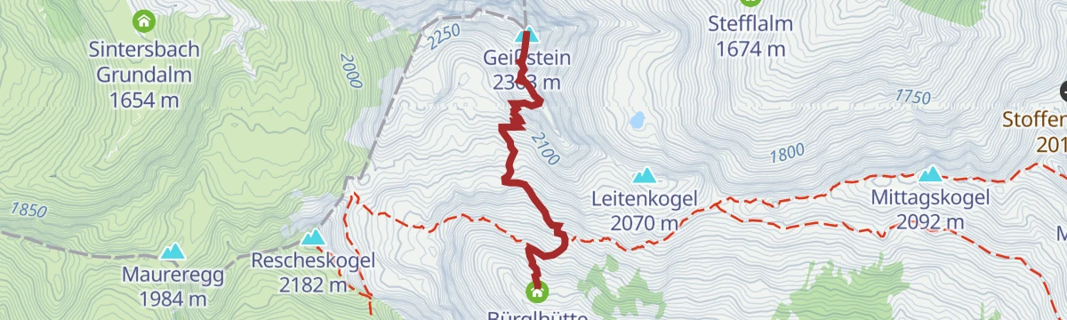
Featured route
Stuhlfelden: Gaisstein
From the Bürglhütte a fairly quick 657 m climb reaches the 2,363 m Gaisstein, the home mountain of Stuhlfelden and one of Europe's highest grass summits.
Planning a trip to Saalbach-Hinterglemm?
Everything else Salzburg (state) has, in one place


Take Saalbach-Hinterglemm with you into the mountains
Every route on this page with 3D terrain, GPX navigation and offline maps — including the valleys with no signal.
Data sources
- Official website: saalbach.com ↗
- Routes and highlights: Kitzbüheler Alpen Tourismus, Nationalpark, Kitzbühel Tourismus, Nationalparkregion Mittersill, Wilder Kaiser Tourismus
- Published as open data by the tourist boards named above.
- Region summary generated from the board's own material.
