
Curated by Piemonte Outdoor
Pontechianale
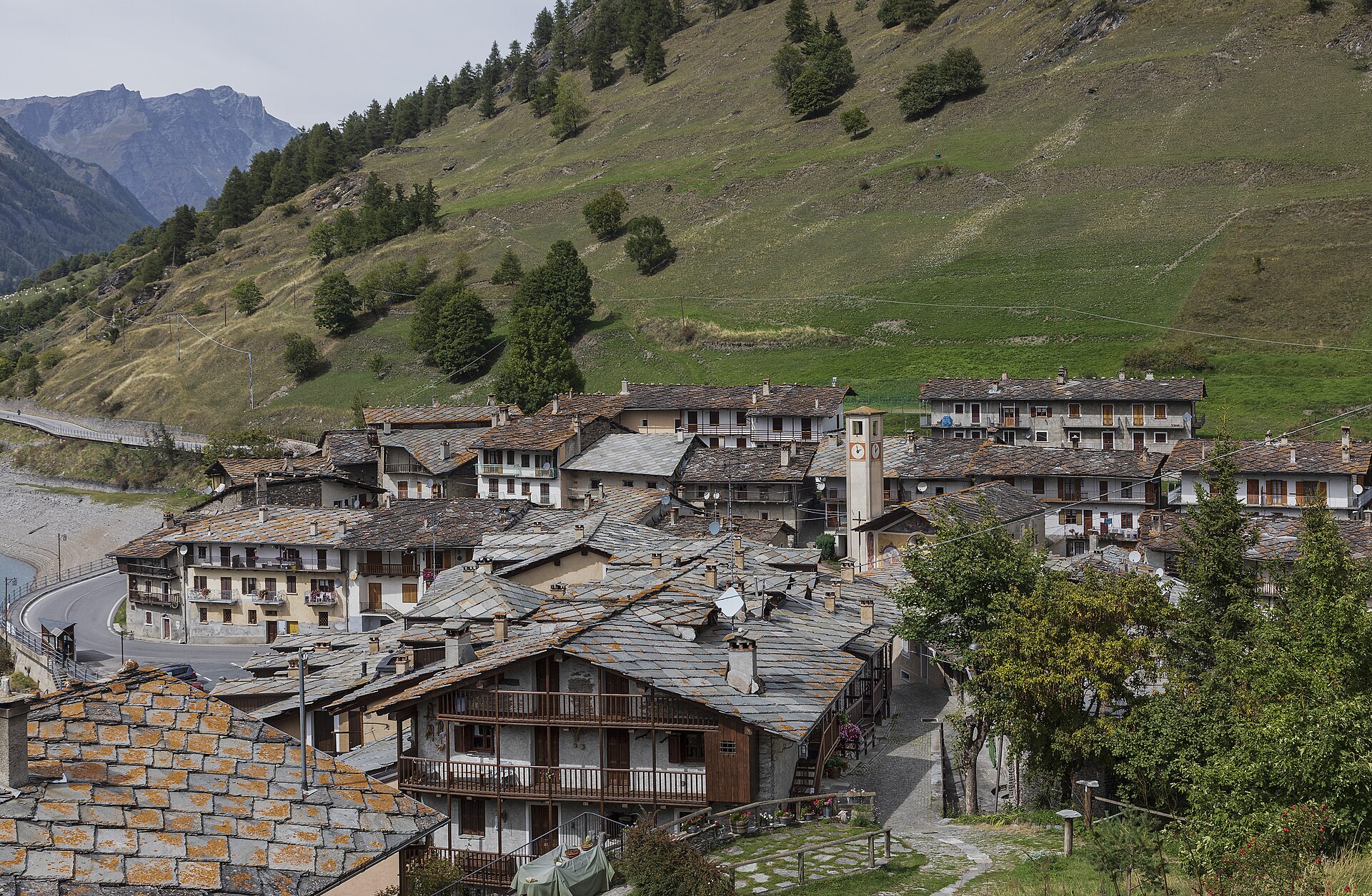
A dammed-lake comune of the upper Val Varaita below Monviso, with the Occitan hamlet of Chianale above.
- 5Routes
Routes
15 from neighbouring places
Giro del Monviso: Tappa 4 Rifugio Vallanta
A stage of the Monviso circuit crossing to the Vallanta hut, on the west side of the peak.
- 13.6 km
- Distance
- 900 m
- Ascent
- 6 h 4 min
- Duration
- 161
- Check-ins
Val Varaita Trekking: Tappa 5 Rifugio Bagnour
A stage of the Varaita valley trek ending at the Rifugio Bagnour, by a small lake in larch wood above Casteldelfino.
- 15.6 km
- Distance
- 2 017 m
- Ascent
- 11 h 53 min
- Duration
- 64
- Check-ins
Giro del Monviso: Tappa 3 Rifugio Battaglione Alpini Monte Granero
A stage of the Monviso circuit crossing the Passo di Vallanta between Rifugio Vallanta and the Refuge du Viso, ending at the Granero hut.
- 9.9 km
- Distance
- 850 m
- Ascent
- 5 h 23 min
- Duration
- 83
- Check-ins
Val Varaita Trekking: Tappa 6 Chianale
A stage of the Val Varaita trek ending at Chianale, the stone village high under the French border above Pontechianale.
- 15.8 km
- Distance
- 1 800 m
- Ascent
- 10 h 49 min
- Duration
- 15
- Check-ins
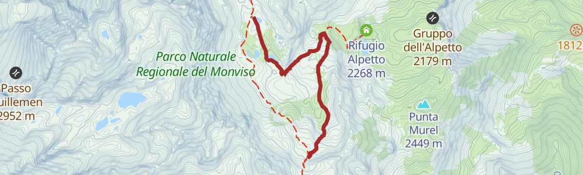
Giro del Monviso: Tappa 4A Rifugio Alevè
A short Monviso circuit stage climbing to the Alevè hut, in the stone pine forest above the Pontechianale reservoir.
- 4.3 km
- Distance
- 530 m
- Ascent
- 3 h 8 min
- Duration
- 23
- Check-ins
Giro del Monviso: Tappa 4B Bivio CNAV07-CNAV30 presso Passo Gallarino
7 km away, in Oncino
A short link on the Monviso circuit near the Passo Gallarino, above Oncino in the upper Po valley.
- 3.5 km
- Distance
- 250 m
- Ascent
- 1 h 39 min
- Duration
- 2
- Check-ins
 Lago della Pellegrina 2 589 m
Punta Fiunira
14.8 km away, in Bobbio Pellice
A steep ski tour in the Val Pellice above Bobbio Pellice, with over a thousand metres of skinning to the top.
- 6.3 km
- Distance
- 1 036 m
- Ascent
- 22 m
- Descent
- 2 h 60 min
- Duration
Val Varaita Trekking: Tappa 6A Borgata Pleyne
7.2 km away, in Bellino
A stage of the Varaita valley trek ending at the stone hamlet of Pleyne above Bellino.
- 9.9 km
- Distance
- 2 862 m
- Ascent
- 15 h 25 min
- Duration
- 12
- Check-ins
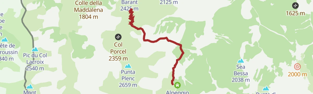
Giro del Monviso: Tappa 1 Rifugio Barbara Lowrie
12.3 km away, in Bobbio Pellice
A short but steep opening stage above Bobbio Pellice, climbing to the refuge below the Colle Barant on the Monviso circuit.
- 4.8 km
- Distance
- 650 m
- Ascent
- 3 h 48 min
- Duration
- 11
- Check-ins
Giro del Monviso: Tappa 5B Bivio CNAV13-CNAV14 presso Lago Chiaretto
7.2 km away, in Crissolo
A short linking stage of the Monviso circuit near the Chiaretto lake.
- 5.7 km
- Distance
- 310 m
- Ascent
- 2 h 13 min
- Duration
- 42
- Check-ins
Punta Sea Bianca
14.8 km away, in Bobbio Pellice
A long, committing ski tour above Bobbio Pellice, nearly 1,500 metres of skinning from the valley floor to the summit.
- 8.9 km
- Distance
- 1 497 m
- Ascent
- 35 m
- Descent
- 4 h 18 min
- Duration
- 4
- Check-ins
Orizzonte Monviso; Tappa 4A Crissolo
11.8 km away, in Crissolo
A very steep stage dropping to Crissolo, the last village of the Po valley below the Monviso.
- 2.4 km
- Distance
- 1 515 m
- Ascent
- 7 h 50 min
- Duration
- 6
- Check-ins
Giro del Monviso: Tappa 2 Rifugio Barant
14.3 km away, in Bobbio Pellice
A stage over the Colle della Maddalena into the Prà basin, passing Rifugio Willy Jervis on the way up towards Monte Granero.
- 10.6 km
- Distance
- 700 m
- Ascent
- 4 h 43 min
- Duration
- 40
- Check-ins
Giro del Monviso: Tappa 5A Pian Mait
8.1 km away, in Crissolo
A short Monviso circuit stage up to Pian Mait above Crissolo, at the head of the Po valley.
- 3.3 km
- Distance
- 250 m
- Ascent
- 1 h 38 min
- Duration
- 8
- Check-ins
Orizzonte Monviso
11.8 km away, in Crissolo
A steep climb from Crissolo towards the Monviso, gaining height fast on the flank of the highest peak of the Cottian Alps.
- 6.1 km
- Distance
- 1 510 m
- Ascent
- 8 h 14 min
- Duration
- 9
- Check-ins
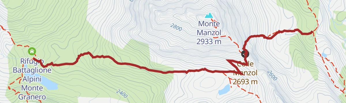
Giro del Monviso: Tappa 3A Rifugio Battaglione Alpini Monte Granero
9.3 km away, in Bobbio Pellice
A short, easy stage high above Bobbio Pellice, crossing the Colle Manzol at nearly 2,700 metres.
- 3.4 km
- Distance
- 290 m
- Ascent
- 1 h 51 min
- Duration
- 13
- Check-ins
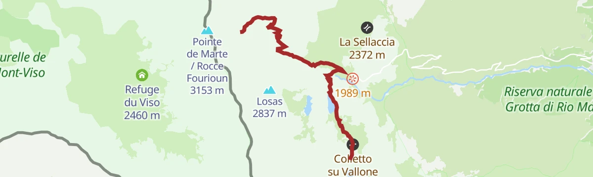
Orizzonte Monviso: TAPPA 3 RIF. ESC. LOSSA
14 km away, in Oncino
A short and very steep stage above Oncino to the Lossa hut, on the Monviso circuit at the head of the Po valley.
- 9.9 km
- Distance
- 1 446 m
- Ascent
- 8 h 22 min
- Duration
- 4
- Check-ins
Val Varaita Trekking: Tappa 4A Colletto di Sopra
10.7 km away, in Sampeyre
A stage of the Val Varaita trek climbing to the Colletto di Sopra above Sampeyre, in the Cuneo Alps.
- 4.4 km
- Distance
- 2 437 m
- Ascent
- 12 h 40 min
- Duration
- 2
- Check-ins
Giro del Monviso: Tappa 5 Rifugio Quintino Sella al Lago Grande di Viso
12.3 km away, in Bobbio Pellice
A long stage on the Monviso circuit crossing the Colle del Viso and Colle Armoine, past Rifugio Giacoletti and the Lago Chiaretto.
- 15.8 km
- Distance
- 700 m
- Ascent
- 5 h 26 min
- Duration
- 145
- Check-ins
Percorsi Occitani: Tappa 6 Elva
12.6 km away, in Elva
A stage of the Occitan circuit ending at Elva, a scattered village high on the north side of the Maira valley.
- 11.4 km
- Distance
- 1 932 m
- Ascent
- 10 h 58 min
- Duration
- 17
- Check-ins








No routes of this kind in Pontechianale yet.
Planning a trip to Pontechianale?
Everything else Piedmont has, in one place


Take Pontechianale with you into the mountains
Every route on this page with 3D terrain, GPX navigation and offline maps — including the valleys with no signal.
Data sources
- Official website: vallidelmonviso.it ↗
- Routes and highlights: Piemonte Outdoor, Valpelliceoutdoor
- Published as open data by the tourist boards named above.
- Region summary generated from the board's own material.
