
 Historic site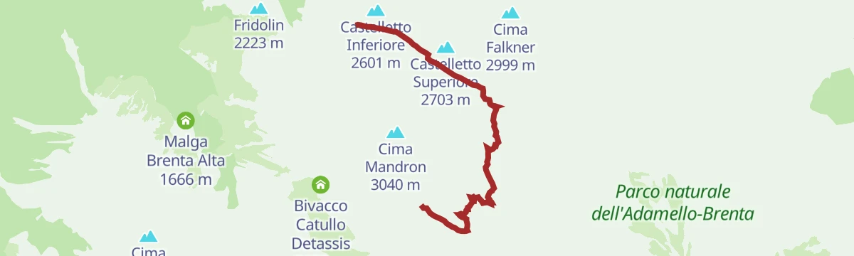

















Curated by APT Dolomiti di Brenta e Paganella
Molveno
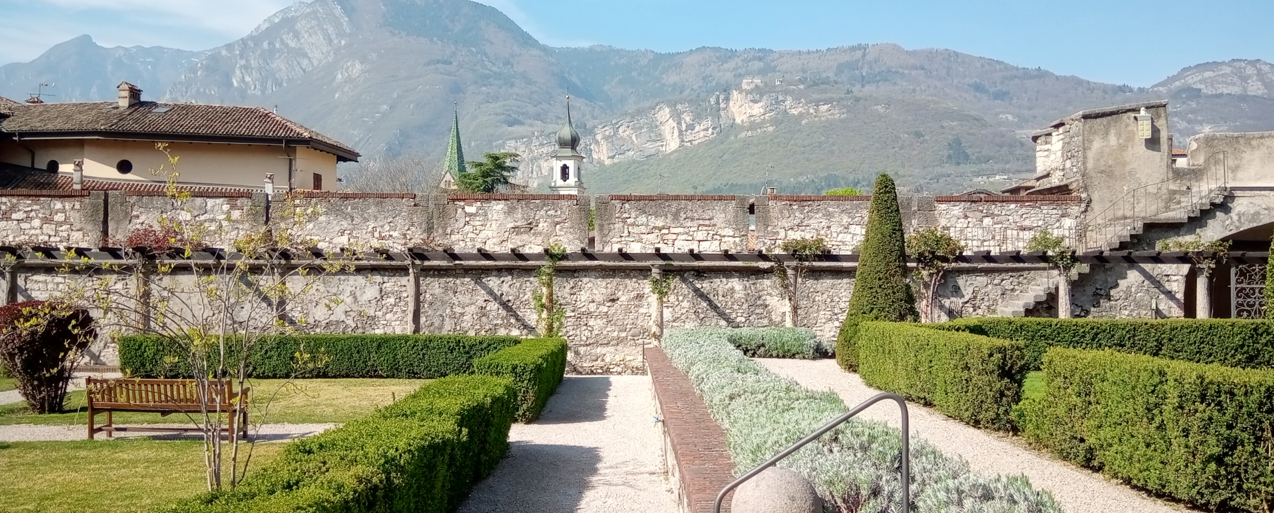
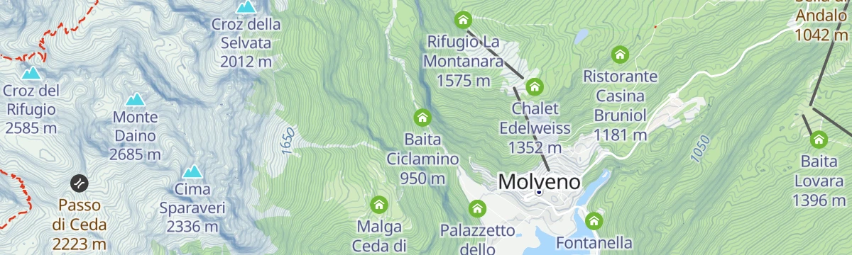
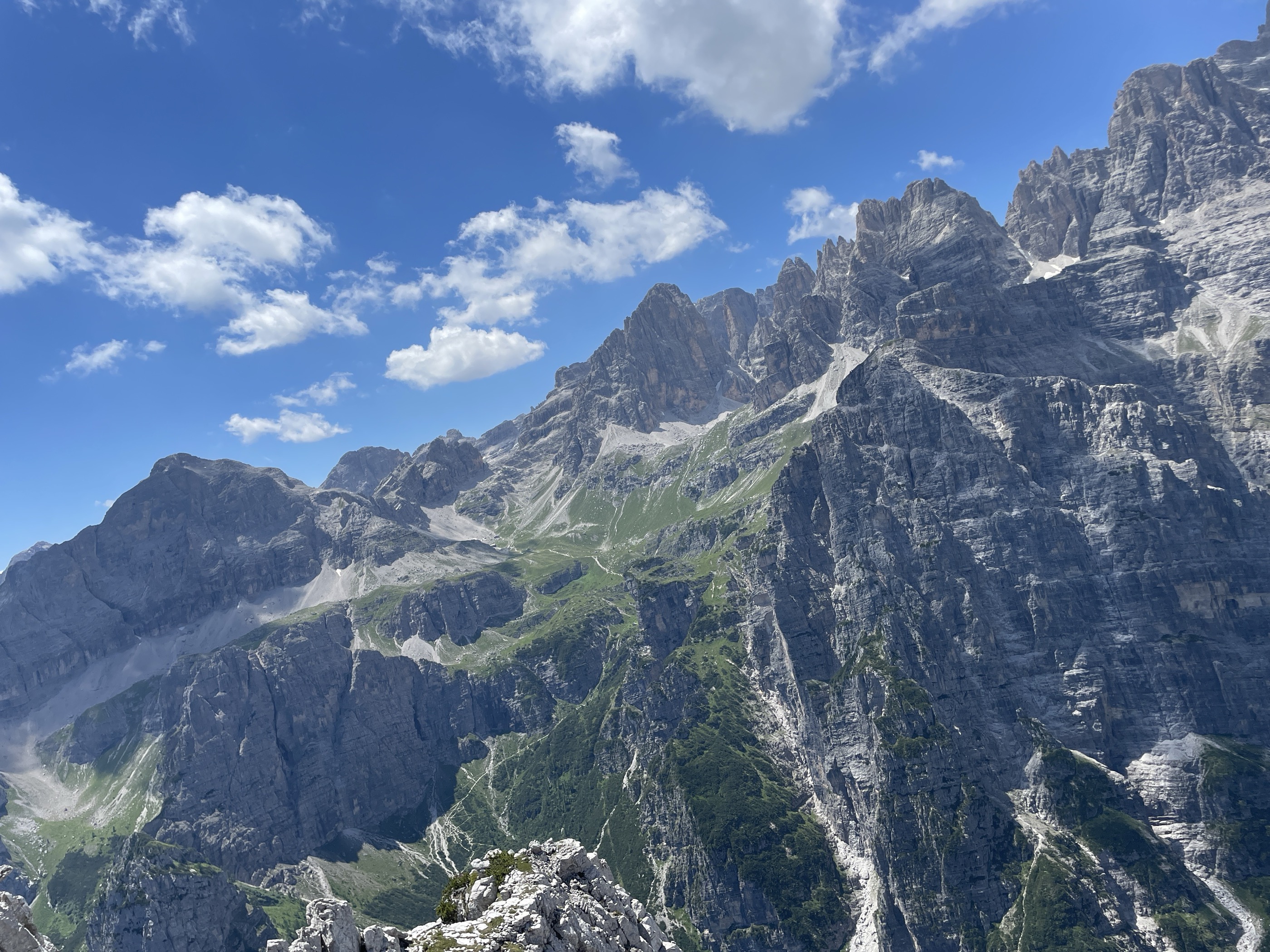
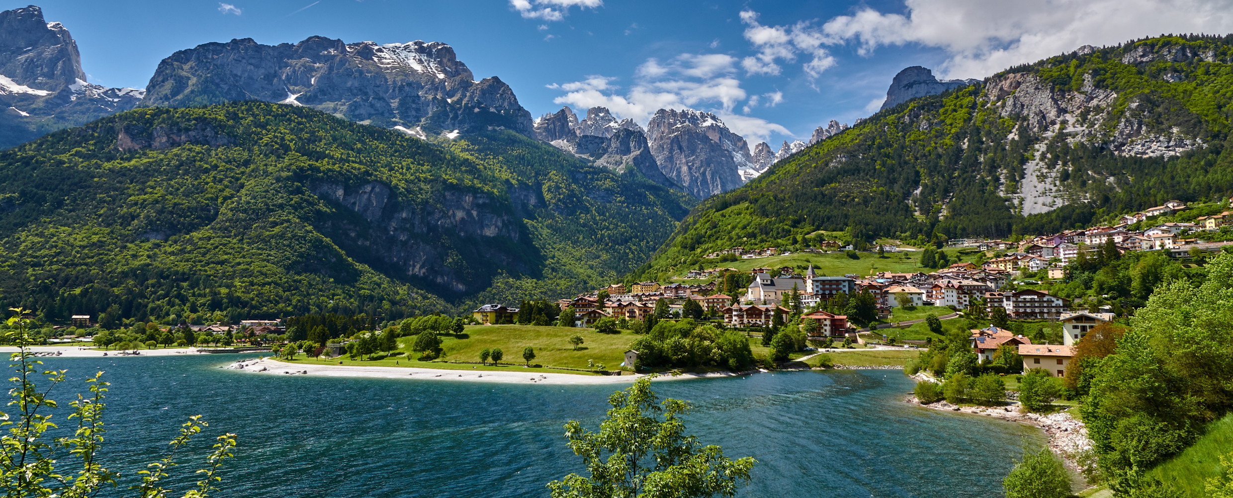
A village on the shore of Lago di Molveno under the Brenta Dolomites, with the Pradel cable car above.
- 1Highlights
- 79Routes
- Featured summit · Croz dell'Altissimo
Highlights
5 from neighbouring places
Lago di Molveno
A lake at 864 m below the Brenta Dolomites, its water among the clearest in the Alps.
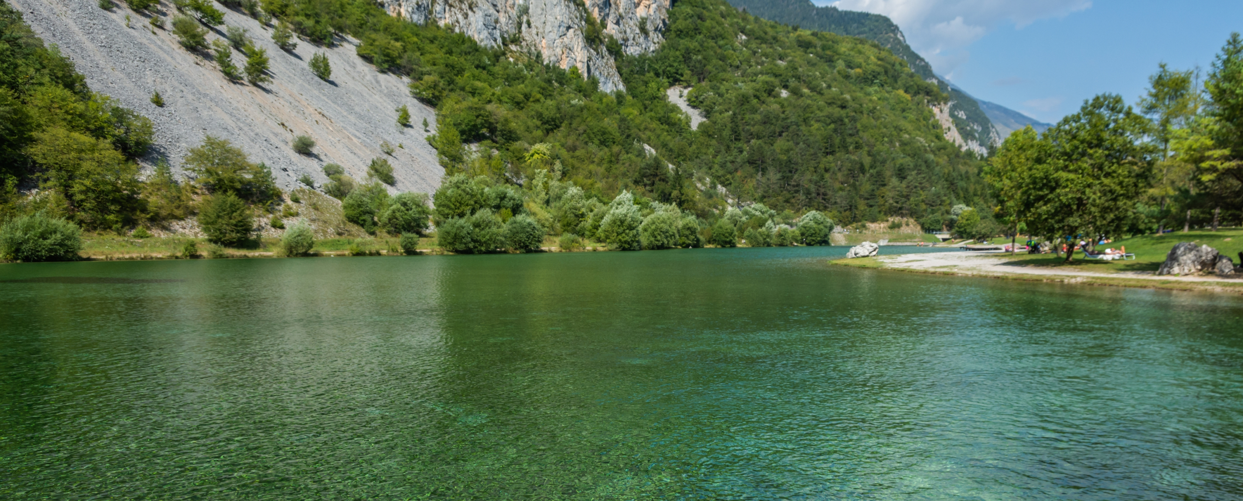
Lago di Nembia
6.4 km away, in San Lorenzo Dorsino
A small lake in the Sarca gorges near San Lorenzo Dorsino, on the edge of the Adamello-Brenta park.
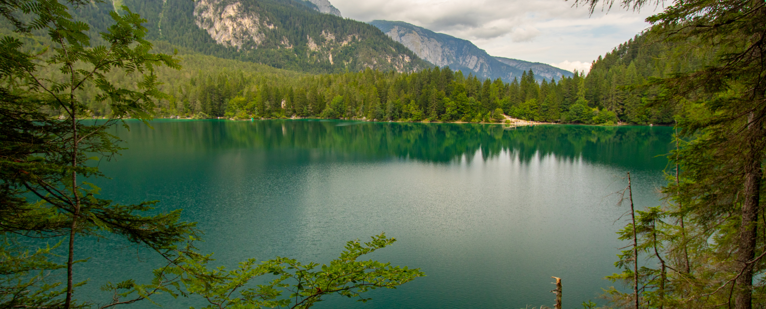
Lago di Tovel
12.5 km away, in Ville d'Anaunia
A lake at 1,178 m below the Brenta Dolomites, once famous for the red algal bloom that coloured its water.
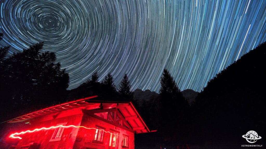
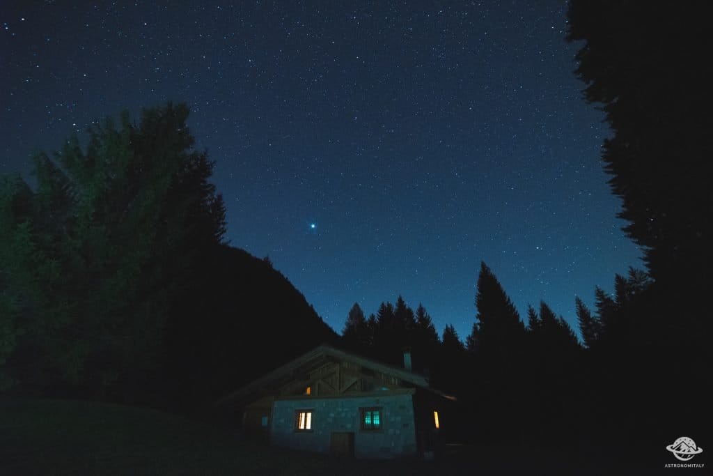
Baita Valon
12.6 km away, in Comano Terme
A hut on the Valon meadows above Comano, used for walks and for its dark night skies.
Stargazing a Baita Valon, Trentino
12.6 km away, in Comano Terme
Night-sky watching from the Valon meadows above Comano Terme, away from valley lights.
Castello del Buonconsiglio
15 km away, in Trento
The residence of Trento's prince-bishops for four centuries, with the Torre Aquila and its Cycle of the Months.
Nothing of this kind in Molveno.
Routes
50 routes, an even mix of activities · see the rest on visitpaganella.it ↗
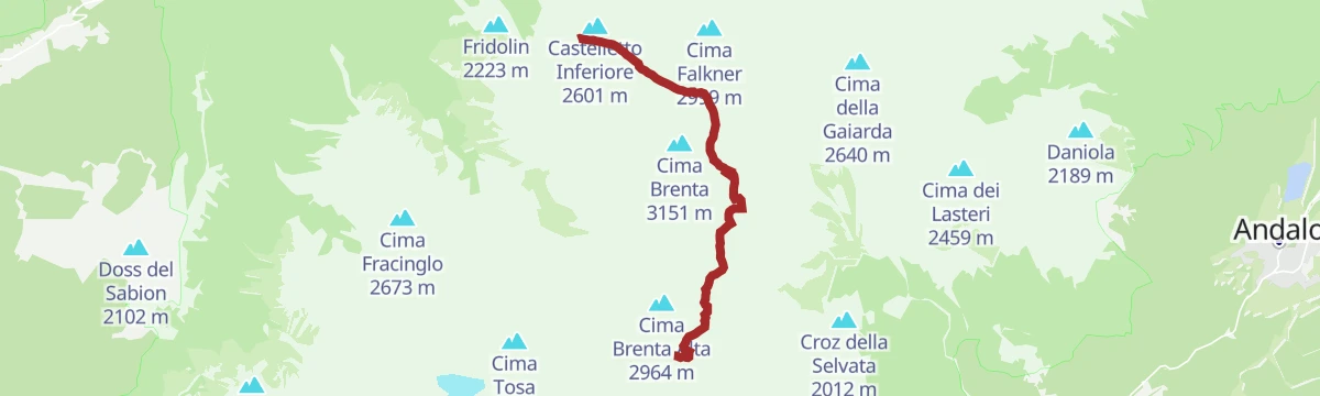
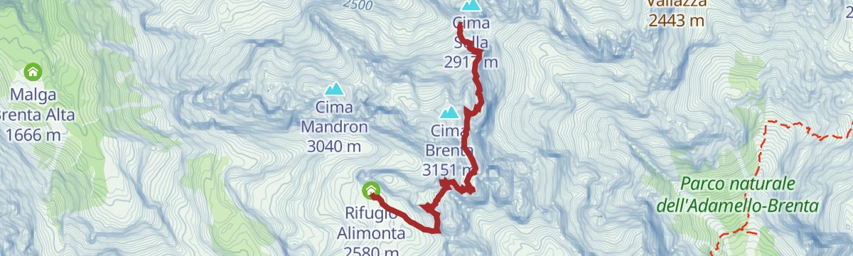
Bocchette Alte via ferrata, Brenta Dolomites
A serious cabled line deep in the Brenta, following narrow ledges and iron rungs high between the Rifugio Tuckett and the Rifugio Alimonta.
- 5.6 km
- Distance
- 1 229 m
- Ascent
- 7 h 33 min
- Duration
- 215
- Check-ins
 Rifugio Francis Fox Tuckett 2 272 m
- Rifugio Quintino Sella 2 273 m
- Rifugio Alimonta 2 580 m
 Bocchetta Alta dei Massodi 2 962 m
- Bocca del Tuckett 2 648 m
- Bocchetta Bassa del Massodi 2 807 m
Open route APT Madonna di Campiglio, Pinzolo, Val RendenaVia Ferrata Osvaldo Orsi, Brenta Dolomites
A cabled traverse linking Rifugio Tuckett with Rifugio Pedrotti along the foot of the Sfulmini walls, below the line of the Bocchette routes.
- 7.2 km
- Distance
- 1 024 m
- Ascent
- 6 h 56 min
- Duration
- 192
- Check-ins
- Rifugio Francis Fox Tuckett 2 272 m
- Rifugio Quintino Sella 2 273 m
- Rifugio Tommaso Pedrotti 2 491 m
- Bocca del Tuckett 2 648 m
- Rifugio Tosa 2 439 m
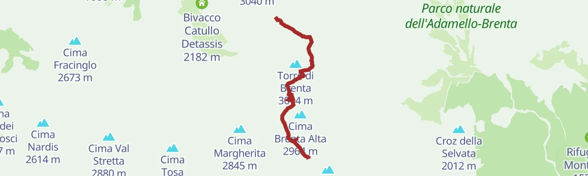
Open route APT Madonna di Campiglio, Pinzolo, Val RendenaBocchette Centrali via ferrata, Brenta Dolomites
Exposed ledges between the Rifugio Alimonta and the Rifugio Pedrotti, passing under the Campanil Basso and the Torre di Brenta at around 2,700 m.
- 3.7 km
- Distance
- 579 m
- Ascent
- 4 h 28 min
- Duration
- 135
- Check-ins
- Rifugio Alimonta 2 580 m
- Rifugio Tommaso Pedrotti 2 491 m
- Bocca di Brenta 2 552 m
- Bocca degli Armi 2 749 m
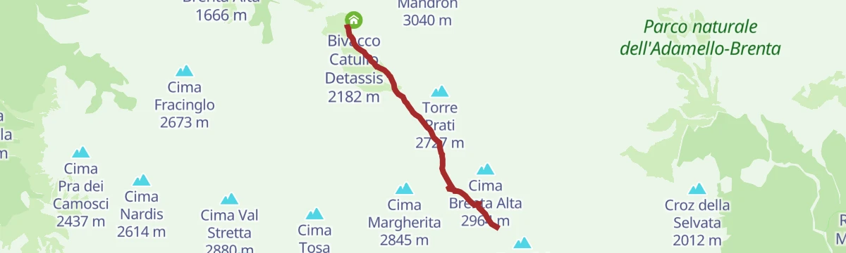
Open route APT Madonna di Campiglio, Pinzolo, Val RendenaVia ferrata Oliva Detassis, Brenta Dolomites
An equipped route under the western arete of Cima Molveno, with long vertical ladders and narrow ledges above the old Brentei hanging glacier.
- 2.7 km
- Distance
- 33 m
- Ascent
- 2 h 19 min
- Duration
- 135
- Check-ins
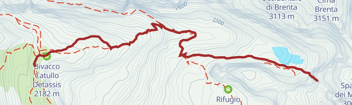
- Rifugio Maria e Alberto al Brentei 2 182 m
- Bivacco Catullo Detassis 2 182 m
- Bocchetta Bassa del Massodi 2 807 m
Open route APT Madonna di Campiglio, Pinzolo, Val RendenaVia ferrata Felice Spellini, Brenta Dolomites
An equipped line up the south spur of Cima degli Armi, four ladders and 400 m of cable from the Massodi valley to the Vedretta degli Armi.
- 3.7 km
- Distance
- 622 m
- Ascent
- 4 h 4 min
- Duration
- 114
- Check-ins
- Rifugio Alimonta 2 580 m
- Rifugio Tommaso Pedrotti 2 491 m
- Bocca degli Armi 2 749 m
- Rifugio Tosa 2 439 m
Open route APT Madonna di Campiglio, Pinzolo, Val RendenaFerrata Osvaldo Orsi
A traversing equipped route in the Brenta above Molveno, linking huts across the ledges below the main peaks.
- 8.1 km
- Distance
- 468 m
- Ascent
- 6 h 42 min
- Duration
- 85
- Check-ins
Open route APT Dolomiti di Brenta e PaganellaFerrata Felice Spellini
An equipped route on the Cima degli Armi spur, ladders and cable between the Massodi valley and the glacier basin behind.
- 3.4 km
- Distance
- 583 m
- Ascent
- 3 h 40 min
- Duration
- 73
- Check-ins
Open route APT Dolomiti di Brenta e PaganellaFerrata Livio Brentari
An equipped route in the southern Brenta reaching the Campanile Steck above the Molveno side of the range.
- 4.6 km
- Distance
- 527 m
- Ascent
- 4 h 8 min
- Duration
- 73
- Check-ins
 Campanile Steck 2 903 m
- Rifugio Tommaso Pedrotti 2 491 m
- Rifugio Val d'Ambiez - Silvio Agostini 2 410 m
- Sella della Tosa 2 872 m
- Bocca della Tosa 2 845 m
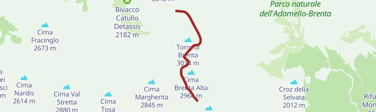
Open route APT Dolomiti di Brenta e PaganellaDBT variant stage 8: Rifugio Tosa Pedrotti - Rifugio ai Brentei
A variant of the Dolomiti di Brenta Trail linking the Tosa Pedrotti and Brentei huts in about an hour.
- 3.2 km
- Distance
- 292 m
- Ascent
- 2 h 22 min
- Duration
- 193
- Check-ins
- Rifugio Maria e Alberto al Brentei 2 182 m
- Bivacco Catullo Detassis 2 182 m
- Rifugio Tommaso Pedrotti 2 491 m
- Bocca di Brenta 2 552 m
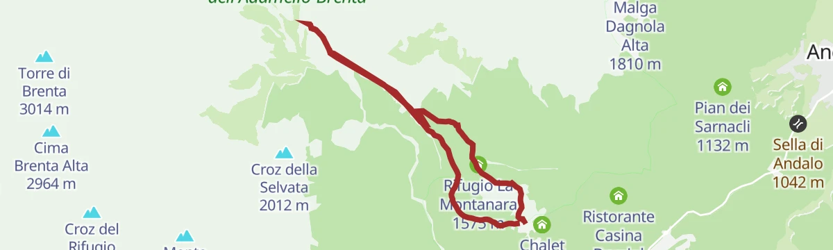
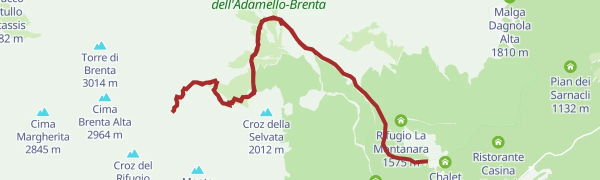
Open route APT Madonna di Campiglio, Pinzolo, Val RendenaTrekking in Pradel: Malga Tovre, Rifugio La Montanara and Rifugio Croz dell'Altissimo
A round from the Pradel plateau above Molveno by the Tovre dairy and the Montanara and Croz dell'Altissimo huts.
- 7.5 km
- Distance
- 452 m
- Ascent
- 3 h 8 min
- Duration
- 143
- Check-ins
- Rifugio La Montanara 1 575 m
- Rifugio Croz dell'Altissimo 1 480 m
- Albergo Ristorante Del Brenta 1 362 m
- Malga Tovre 1 450 m
- Rifugio Pradel 1 364 m
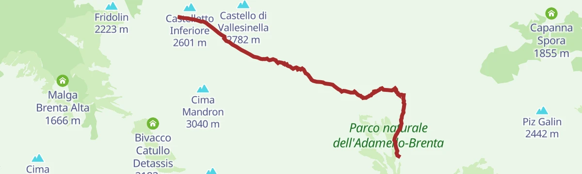
Open route APT Dolomiti di Brenta e PaganellaTrekking from Rifugio Croz dell'Altissimo to Rifugio Tuckett through Val Perse
A steep crossing from the Croz dell'Altissimo hut up the Val Perse to the Tuckett hut in the central Brenta.
- 6.7 km
- Distance
- 1 354 m
- Ascent
- 6 h 1 min
- Duration
- 175
- Check-ins
- Rifugio Francis Fox Tuckett 2 272 m
- Rifugio Quintino Sella 2 273 m
- Rifugio Croz dell'Altissimo 1 480 m
- Bocca del Tuckett 2 648 m
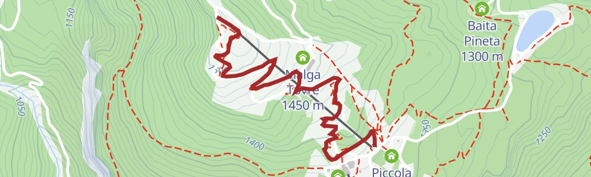
Open route APT Dolomiti di Brenta e PaganellaBig Hero
The gentlest flow trail in the Paganella bike area, wide and rolling enough for beginners and children.
- 1.7 km
- Distance
- 0 m
- Ascent
- 12 min
- Duration
- 70
- Check-ins
- Albergo Ristorante Del Brenta 1 362 m
- Malga Tovre 1 450 m
- Rifugio Pradel 1 364 m
- Piccola Baita 1 358 m
Open route APT Dolomiti di Brenta e Paganella799 "Ciclamino Route"
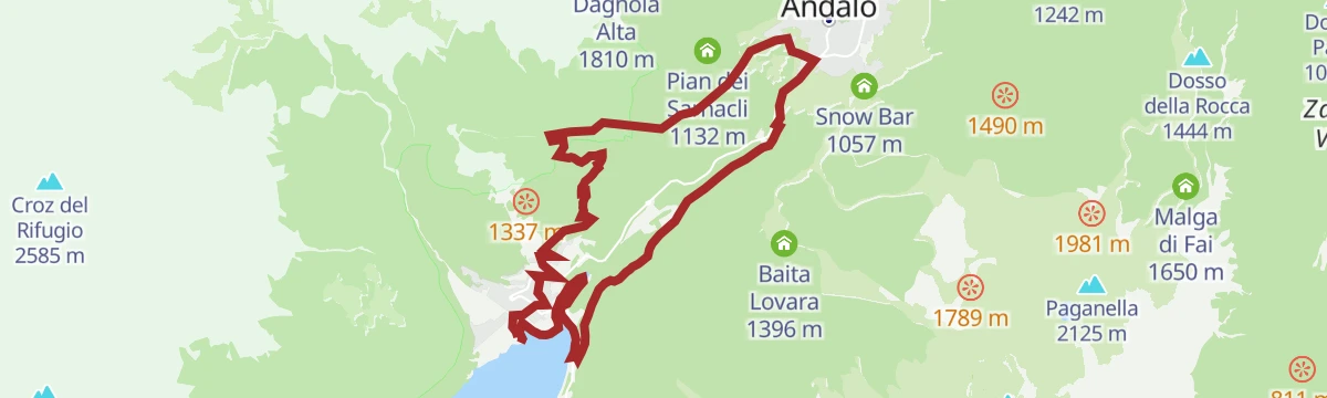
A family bike route through the old centre of Molveno, along the Ciclamino path and back by the lakefront.
- 7.3 km
- Distance
- 247 m
- Ascent
- 53 min
- Duration
- 47
- Check-ins
Open route APT Dolomiti di Brenta e PaganellaBear Trails -Ultimate Enduro Experience-
A lift-assisted enduro day on the Paganella, stringing five descents together between Rifugio La Roda and the trails above Molveno.
- 61.2 km
- Distance
- 4 292 m
- Ascent
- 10 h 49 min
- Duration
- 311
- Check-ins
- Paganella 2 125 m
- Rifugio La Roda 2 120 m
- Rifugio La Montanara 1 575 m
- Albergo Ristorante Del Brenta 1 362 m
- Osservatorio meteorologico di monte Paganella 2 125 m
- Rifugio Pradel 1 364 m
- +19
Open route APT Dolomiti di Brenta e Paganella802 "Tour Vivaio"
A ride entirely on dirt roads through the pine woods that ring Andalo, with a few demanding stretches.
- 14.6 km
- Distance
- 438 m
- Ascent
- 1 h 42 min
- Duration
- 36
- Check-ins
- Sella di Andalo 1 042 m
- APT Dolomiti Paganella 1 021 m
- Cappella della Madonna di Loreto 1 118 m
- Agriturismo Ai Castioni 973 m
- Pian dei Sarnacli 1 132 m
- Centro Giovani 1 010 m
- +1
Open route APT Dolomiti di Brenta e PaganellaThe stage of 2022 Giro d'Italia Women.
A race-length road route from the Rotaliana plain to San Lorenzo Dorsino, with three long climbs by way of Andalo, Molveno and Passo Santel.
- 113.6 km
- Distance
- 3 474 m
- Ascent
- 13 h 10 min
- Duration
- 137
- Check-ins
- Fontanella 845 m
- Lago Park Hotel 826 m
- Grand Hotel Molveno 838 m
- Tre3 1 037 m
- Albergo El Paso 1 036 m
- Passo Santel 1 040 m
- +20
Open route APT Dolomiti di Brenta e PaganellaWalk from Pradel to Rifugio La Montanara
A short climb from the Pradel plateau up to the Montanara hut on the edge of the Brenta.
- 960 m
- Distance
- 146 m
- Ascent
- 34 min
- Duration
- 109
- Check-ins
- Rifugio La Montanara 1 575 m
- Albergo Ristorante Del Brenta 1 362 m
- Malga Tovre 1 450 m
- Rifugio Pradel 1 364 m
Open route APT Dolomiti di Brenta e PaganellaBocchette Centrali
The central section of the Bocchette way, running ledges and ladders through the heart of the Brenta.
- 2.9 km
- Distance
- 580 m
- Ascent
- 2 h 59 min
- Duration
- 135
- Check-ins
- Rifugio Alimonta 2 580 m
- Rifugio Tommaso Pedrotti 2 491 m
- Bocca di Brenta 2 552 m
- Bocca degli Armi 2 749 m
Open route APT Dolomiti di Brenta e PaganellaTrekking to Rifugio Pedrotti
A long ascent from Molveno through the Valle delle Seghe to the Pedrotti hut below the Cima Tosa.
- 10.1 km
- Distance
- 1 641 m
- Ascent
- 7 h 20 min
- Duration
- 161
- Check-ins
- Rifugio Tommaso Pedrotti 2 491 m
- Rifugio Croz dell'Altissimo 1 480 m
- Albergo Ristorante Del Brenta 1 362 m
- Rifugio Selvata 1 630 m
- Rifugio Pradel 1 364 m
- Baita Massodi 1 935 m
- +1
Open route APT Dolomiti di Brenta e Paganella805 "Secret Trail"
An enduro line above Molveno, reached by the Paganella gondola, dropping past the Bior lake.
- 4.4 km
- Distance
- 65 m
- Ascent
- 52 min
- Duration
- 10
- Check-ins
Open route APT Dolomiti di Brenta e Paganella812 "Ude's Trail"
A long, varied route above Andalo, from the La Montanara restaurant down past the old forest nursery and on to the Tana dell'Ermellino at Priori.
- 12.1 km
- Distance
- 326 m
- Ascent
- 1 h 33 min
- Duration
- 9
- Check-ins
Open route APT Dolomiti di Brenta e PaganellaShort tour of the Paganella Plateau
A rolling road tour of the Paganella plateau, over the Passo Santel and the Sella di Andalo and through four of its villages.
- 24.5 km
- Distance
- 591 m
- Ascent
- 2 h 44 min
- Duration
- 59
- Check-ins
- Tre3 1 037 m
- Albergo El Paso 1 036 m
- Passo Santel 1 040 m
- Sella di Andalo 1 042 m
- APT Dolomiti Paganella 1 021 m
- Agriturismo Ai Castioni 973 m
- +3
Open route APT Dolomiti di Brenta e PaganellaFrom the Dolomites to Lake Garda
A hundred-kilometre run down from the Brenta to the shore of Garda, back over the Passo Ballino and through the Limarò gorge.
- 106.4 km
- Distance
- 2 385 m
- Ascent
- 11 h 41 min
- Duration
- 131
- Check-ins
- Fontanella 845 m
- Lago Park Hotel 826 m
- Grand Hotel Molveno 838 m
- Sella di Andalo 1 042 m
- APT Dolomiti Paganella 1 021 m
- Centrale di Fies 191 m
- +10
Open route APT Dolomiti di Brenta e PaganellaHike to Rifugio Croz dell'Altissimo
A short walk from the Pradel plateau to the Croz dell'Altissimo hut under its rock wall.
- 3.7 km
- Distance
- 336 m
- Ascent
- 1 h 59 min
- Duration
- 76
- Check-ins
Open route APT Dolomiti di Brenta e PaganellaTour of the mountain huts from Molveno
A round of the huts above Molveno, linking the Montanara, the Croz dell'Altissimo and the Tovre pastures.
- 10.4 km
- Distance
- 647 m
- Ascent
- 5 h 26 min
- Duration
- 112
- Check-ins
- Rifugio Croz dell'Altissimo 1 480 m
- Albergo Ristorante Del Brenta 1 362 m
- Rifugio Selvata 1 630 m
- Rifugio Pradel 1 364 m
- Rifugio Malga Andalo 1 357 m
Open route APT Dolomiti di Brenta e PaganellaLoop trekking from Cavedago to Malga Spora and to Rifugio Croz dell'Altissimo
A big circuit on the eastern side of the Brenta, over the Passo del Clamer between Malga Spora and the refuges La Montanara and Croz dell'Altissimo.
- 22.7 km
- Distance
- 2 386 m
- Ascent
- 14 h 33 min
- Duration
- 118
- Check-ins
- Rifugio La Montanara 1 575 m
- Rifugio Croz dell'Altissimo 1 480 m
- Baita Pineta 1 300 m
- Malga Spora 1 855 m
- Passo del Clamer 2 164 m
- Centro Giovani 1 010 m
- +1
Open route APT Dolomiti di Brenta e PaganellaBlade Runner by Evoc
The lowest flow trail in the Molveno sector, running from Pradel down to Valbiole.
- 2.1 km
- Distance
- 0 m
- Ascent
- 15 min
- Duration
Open route APT Dolomiti di Brenta e Paganella804 "Ranzo-Andalo MTB"
A big dirt-road link back from Ranzo to Andalo, over the Sella di Andalo and past Malga Gazza and Malga Covelo.
- 42.4 km
- Distance
- 3 314 m
- Ascent
- 8 h 9 min
- Duration
- 57
- Check-ins
- Lago Park Hotel 826 m
- Grand Hotel Molveno 838 m
- Chalet Paganella 2 1 752 m
- Sella di Andalo 1 042 m
- APT Dolomiti Paganella 1 021 m
- Malga Gazza 1 549 m
- +3
Open route APT Dolomiti di Brenta e Paganella789 "Tour of the 4 Towns"
A hilly circuit from the shore of Lago di Molveno through Fai della Paganella, Cavedago and Andalo, crossing the Passo Santel.
- 30.3 km
- Distance
- 1 315 m
- Ascent
- 3 h 56 min
- Duration
- 102
- Check-ins
- Dosso della Rocca 1 444 m
- Fontanella 845 m
- Rifugio Meriz 1 425 m
- Lago Park Hotel 826 m
- Grand Hotel Molveno 838 m
- Tre3 1 037 m
- +6
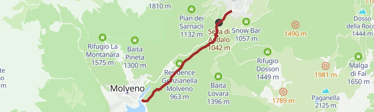
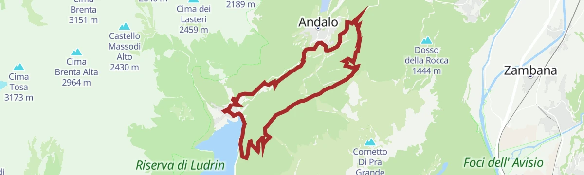
Open route APT Dolomiti di Brenta e PaganellaWalk from Andalo to Molveno
A level walk between Andalo and Molveno, under the east walls of the Brenta Dolomites.
- 4.1 km
- Distance
- 21 m
- Ascent
- 1 h 12 min
- Duration
- 32
- Check-ins
- Fontanella 845 m
- Sella di Andalo 1 042 m
- APT Dolomiti Paganella 1 021 m
- Residence Genzianella Molveno 963 m
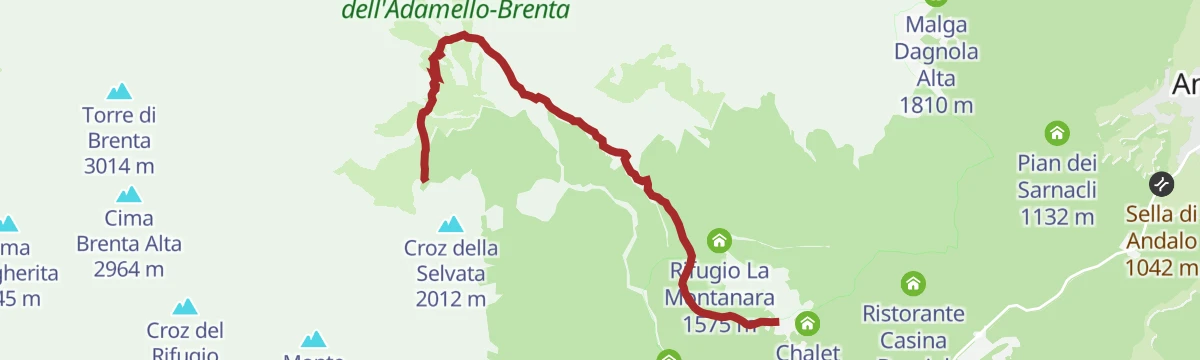
Open route APT Dolomiti di Brenta e PaganellaTrekking to Rifugio Selvata
A climb up the Valle delle Seghe from Molveno to the Selvata hut at the foot of the Brenta walls.
- 5.4 km
- Distance
- 802 m
- Ascent
- 4 h 3 min
- Duration
- 100
- Check-ins
- Rifugio Croz dell'Altissimo 1 480 m
- Albergo Ristorante Del Brenta 1 362 m
- Rifugio Selvata 1 630 m
- Rifugio Pradel 1 364 m
Open route APT Dolomiti di Brenta e PaganellaBusa degli Sfulmini
A long climb into the Busa degli Sfulmini, the boulder basin under the Campanile Basso in the central Brenta.
- 14.4 km
- Distance
- 1 431 m
- Ascent
- 8 h 46 min
- Duration
- 110
- Check-ins
- Rifugio Croz dell'Altissimo 1 480 m
- Albergo Ristorante Del Brenta 1 362 m
- Rifugio Selvata 1 630 m
- Rifugio Pradel 1 364 m
- Baita Massodi 1 935 m
Open route APT Dolomiti di Brenta e PaganellaGoonies
A short flow trail in the Molveno bike area, rolling downhill through the woods.
- 1.1 km
- Distance
- 0 m
- Ascent
- 8 min
- Duration
Open route APT Dolomiti di Brenta e PaganellaDolomiti di Brenta Bike Explorer - Altopiano della Paganella: il monte Gazza e la Paganella
A hard Brenta Dolomites variant that branches off at Lago di Nembia and climbs the pastures of Monte Gazza onto the Paganella tableland.
- 44.3 km
- Distance
- 3 511 m
- Ascent
- 8 h 36 min
- Duration
- 93
- Check-ins
- Malga Zambana 1 792 m
- Albi de Mez 1 775 m
- Chalet Malga Terlaga 1 817 m
- Chalet Paganella 2 1 752 m
- Molveno Holiday's 868 m
- APT Dolomiti Paganella 1 021 m
- +6
Open route APT Dolomiti di Brenta e PaganellaIl mondo di Sciury
A short themed loop for children in the woods above Molveno, following the squirrel Sciury from stop to stop.
- 2.1 km
- Distance
- 115 m
- Ascent
- 43 min
- Duration
- 31
- Check-ins
Open route APT Dolomiti di Brenta e PaganellaBocchette Alte
The upper Bocchette route across the Brenta, ledges and ladders high on the western side of the range.
- 3.8 km
- Distance
- 759 m
- Ascent
- 4 h 24 min
- Duration
- 89
- Check-ins
- Rifugio Alimonta 2 580 m
- Bocchetta Alta dei Massodi 2 962 m
- Bocca del Tuckett 2 648 m
- Bocchetta Bassa del Massodi 2 807 m
Open route APT Dolomiti di Brenta e PaganellaTrekking to Passo Clamer
A long climb from Molveno up to the Passo Clamer on the northern edge of the Brenta massif.
- 12.2 km
- Distance
- 1 730 m
- Ascent
- 10 h 4 min
- Duration
- 79
- Check-ins
- Rifugio Croz dell'Altissimo 1 480 m
- Albergo Ristorante Del Brenta 1 362 m
- Rifugio Pradel 1 364 m
- Passo del Clamer 2 164 m
Open route APT Dolomiti di Brenta e PaganellaMatrix
A flow trail linking the Blade Runner to the main road, from where riders can carry on to Molveno or Andalo.
- 1.8 km
- Distance
- 0 m
- Ascent
- 13 min
- Duration
Open route APT Dolomiti di Brenta e PaganellaTour of the Banale Plateau
A road round over the Sella di Andalo to Molveno and on to the Comano spa and the villages of the Banale plateau.
- 52.4 km
- Distance
- 1 484 m
- Ascent
- 6 h 3 min
- Duration
- 89
- Check-ins
- Fontanella 845 m
- Lago Park Hotel 826 m
- Grand Hotel Molveno 838 m
- Sella di Andalo 1 042 m
- APT Dolomiti Paganella 1 021 m
- Agriturismo Ai Castioni 973 m
- +9
Open route APT Dolomiti di Brenta e PaganellaSant'Antonio
A crag just above Lake Molveno, with short routes that read as a rehearsal for the classic Brenta climbs.
- 134 m
- Distance
- 56 m
- Ascent
- 18 min
- Duration
- 20
- Check-ins
Open route APT Dolomiti di Brenta e PaganellaXTERRA World Championship route
The course used for the XTERRA world championship, from the Molveno lakeshore into the shaded woods under the Paganella and the Brenta walls.
- 14.8 km
- Distance
- 576 m
- Ascent
- 4 h 52 min
- Duration
- 80
- Check-ins
- Baita Pineta 1 300 m
- Fontanella 845 m
- Lago Park Hotel 826 m
- Sella di Andalo 1 042 m
 Lago di Bior 824 m
- Molveno Holiday's 868 m
- +3
Open route APT Dolomiti di Brenta e Paganella788 "Acqua delle Scudelle"
A twenty-kilometre dirt-road ring from Molveno over the Paganella flank to Pian del Dosson, in forest from start to finish.
- 20.2 km
- Distance
- 828 m
- Ascent
- 6 h 47 min
- Duration
- 72
- Check-ins
- Fontanella 845 m
- Lago Park Hotel 826 m
- Grand Hotel Molveno 838 m
- Sella di Andalo 1 042 m
- APT Dolomiti Paganella 1 021 m
- Agriturismo Ai Castioni 973 m
- +5
Open route APT Dolomiti di Brenta e PaganellaThe Southern side of Brenta Dolomites
A demanding road loop around the south of the Brenta group, with the Passo Daone the hardest of its climbs before the return to Andalo.
- 90.7 km
- Distance
- 3 054 m
- Ascent
- 10 h 56 min
- Duration
- 81
- Check-ins
- Fontanella 845 m
- Lago Park Hotel 826 m
- Grand Hotel Molveno 838 m
- Sella di Andalo 1 042 m
- APT Dolomiti Paganella 1 021 m
- Passo Daone 1 290 m
- +9
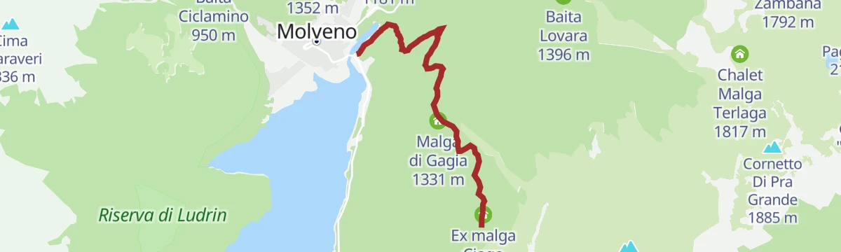
Open route APT Dolomiti di Brenta e PaganellaGaggia meadows - Scudelle water - viewpoint
A short family route in the woods at the Prati di Gaggia, reached by gondola from Andalo, taking in a spring and a lookout.
- 4.4 km
- Distance
- 140 m
- Ascent
- 1 h 23 min
- Duration
- 10
- Check-ins
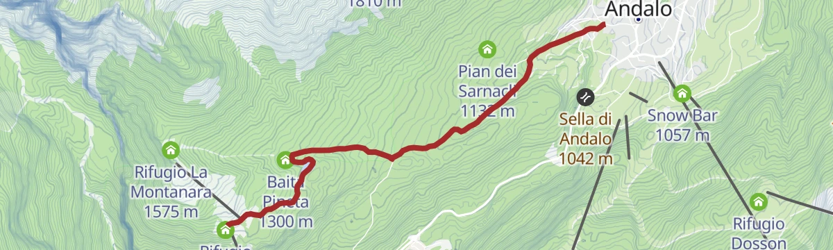
Open route APT Dolomiti di Brenta e PaganellaWalk from Andalo to Pradel
A climb from Andalo through the woods to the Pradel terrace, facing the Brenta Dolomites above Molveno.
- 4.2 km
- Distance
- 363 m
- Ascent
- 1 h 39 min
- Duration
- 72
- Check-ins
- Albergo Ristorante Del Brenta 1 362 m
- Baita Pineta 1 300 m
- Rifugio Pradel 1 364 m
- Piccola Baita 1 358 m
Open route APT Dolomiti di Brenta e Paganella44 - Molveno - Nembia - Moline – S. Lorenzo in Banale
A long route from Molveno by Nembia and Moline down to San Lorenzo in Banale in the Giudicarie.
- 24.6 km
- Distance
- 675 m
- Ascent
- 7 h 25 min
- Duration
- 65
- Check-ins
- Fontanella 845 m
- Laghetto di Nembia 782 m
- Lago Park Hotel 826 m
- Grand Hotel Molveno 838 m
- Athabaska 629 m
Open route APT Dolomiti di Brenta e PaganellaFrom Paganella to Giudicarie
A long road day from the Andalo plateau into the Giudicarie, with the climb to the Passo Durone as the main effort.
- 74.9 km
- Distance
- 2 360 m
- Ascent
- 8 h 52 min
- Duration
- 80
- Check-ins
- Fontanella 845 m
- Lago Park Hotel 826 m
- Grand Hotel Molveno 838 m
- Sella di Andalo 1 042 m
- APT Dolomiti Paganella 1 021 m
- Bar Ristorante Passo Durone 995 m
- +7
Open route APT Dolomiti di Brenta e PaganellaWalk from Prati di Gaggia to the lookout on lake Molveno
A brief walk from the Prati di Gaggia to the viewpoint over the Lago di Molveno and the Brenta wall behind it.
- 2.2 km
- Distance
- 90 m
- Ascent
- 42 min
- Duration
- 10
- Check-ins
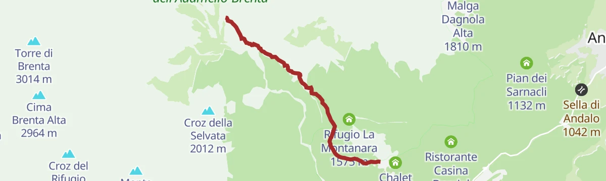
Open route APT Dolomiti di Brenta e PaganellaMalga Tovre and rifugio La Montanara
A short but sometimes steep climb through the woods of the Adamello-Brenta park to the Montanara hut on its terrace.
- 3.8 km
- Distance
- 465 m
- Ascent
- 1 h 57 min
- Duration
- 69
- Check-ins
Open route APT Dolomiti di Brenta e PaganellaDBT Stage 8: Rifugio Tosa Pedrotti - Malga Spora
A Dolomiti di Brenta stage from the Tosa Pedrotti hut over the Clamer pass, leaving karst and boulders for the green bear country at Malga Spora.
- 11.2 km
- Distance
- 1 333 m
- Ascent
- 9 h 4 min
- Duration
- 59
- Check-ins
- Rifugio Tommaso Pedrotti 2 491 m
- Rifugio Tosa 2 439 m
- Malga Spora 1 855 m
- Passo del Clamer 2 164 m
- Malga Spora 1 853 m
Open route APT Madonna di Campiglio, Pinzolo, Val Rendena
No routes of this kind in Molveno yet.
The region's own picks
Featured route
DBT variant stage 8: Rifugio Tosa Pedrotti - Rifugio ai Brentei
A variant of the Dolomiti di Brenta Trail linking the Tosa Pedrotti and Brentei huts in about an hour.
Planning a trip to Molveno?
Everything else Trentino-Alto Adige/Südtirol has, in one place


Take Molveno with you into the mountains
Every route on this page with 3D terrain, GPX navigation and offline maps — including the valleys with no signal.
Data sources
- Official website: visitpaganella.it ↗
- Routes and highlights: APT Dolomiti di Brenta e Paganella, APT Madonna di Campiglio, Pinzolo, Val Rendena, Italia.it, Astrotourism
- Published as open data by the tourist boards named above.
- Region summary generated from the board's own material.
