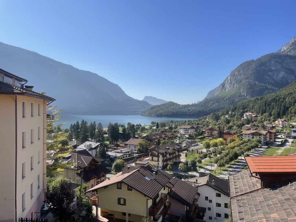
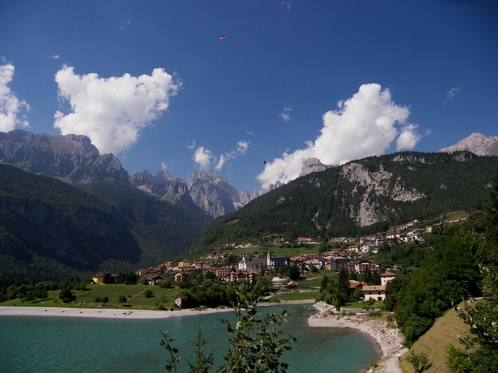
Lake Molveno (German: Malfeinsee) is a lake in Trentino, Italy. The only settlement is Molveno, located at the north end of the basin. The lake marks the boundary between the Group of the Brenta Dolomites (Campanile Basso, Croz dell'Altissimo, Sfulmini, Cima Tosa) to the west and the Paganella - Mount Gazza to the south east). In 1952, the lake was drained to allow the construction of collectors and conduits to feed the power plant of S. Massenza. On this occasion a petrified forest submerged at the time of the lake's formation was found on the bed of the lake. The analysis with radiocarbon carried out in the laboratory of nuclear geology of the University of Pisa has established that the formation of Lake Molveno dates back to the early Iron Age. (about 3000 years ago).
We use GPS information embedded into the photo when it is available.
3D mountains overlay
Adjust mountain panorama to perfectly match your photos because recorded by camera photo position might be imprecise.
Move tool
Rotate tool
Zoom
More customization
Choose which peak labels should make into the final photo and what photo title should be.
Next
Photo Location
Satellitte
Flat map
Relief map
Latitude
Longitude
Altitude
OR
Latitude
°'''
Longitude
°'''
Apply
Register Peak
Peak Name
Latitude
Longitude
Altitude
Register
Teleport
PeakVisor
This 3D model of Sagarmatha National Park in Nepal was made using the PeakVisor app topographic data. The mobile app features higher precision models worldwide, more topographic details, and works offline. Download PeakVisor maps today.
Download OBJ model
PeakVisor
The download should start shortly. If you find it useful please consider supporting the PeakVisor app.
PeakVisor for iOS and Android
Be a superhero of outdoor navigation with state-of-the-art 3D maps and mountain identification in the palm of your hand!