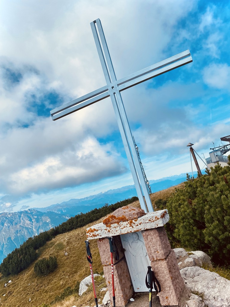
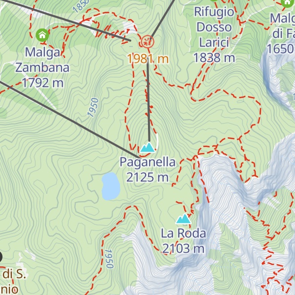
Paganella is a mountain of the Brenta Group in Trentino, northern Italy. It is located in the territories of the comuni of Fai della Paganella, Andalo, Molveno, Zambana and Terlago. Overlooking Trento from north-west, it consists of a short range/plateau with a highest elevation of 2,125 m (Roda Peak).
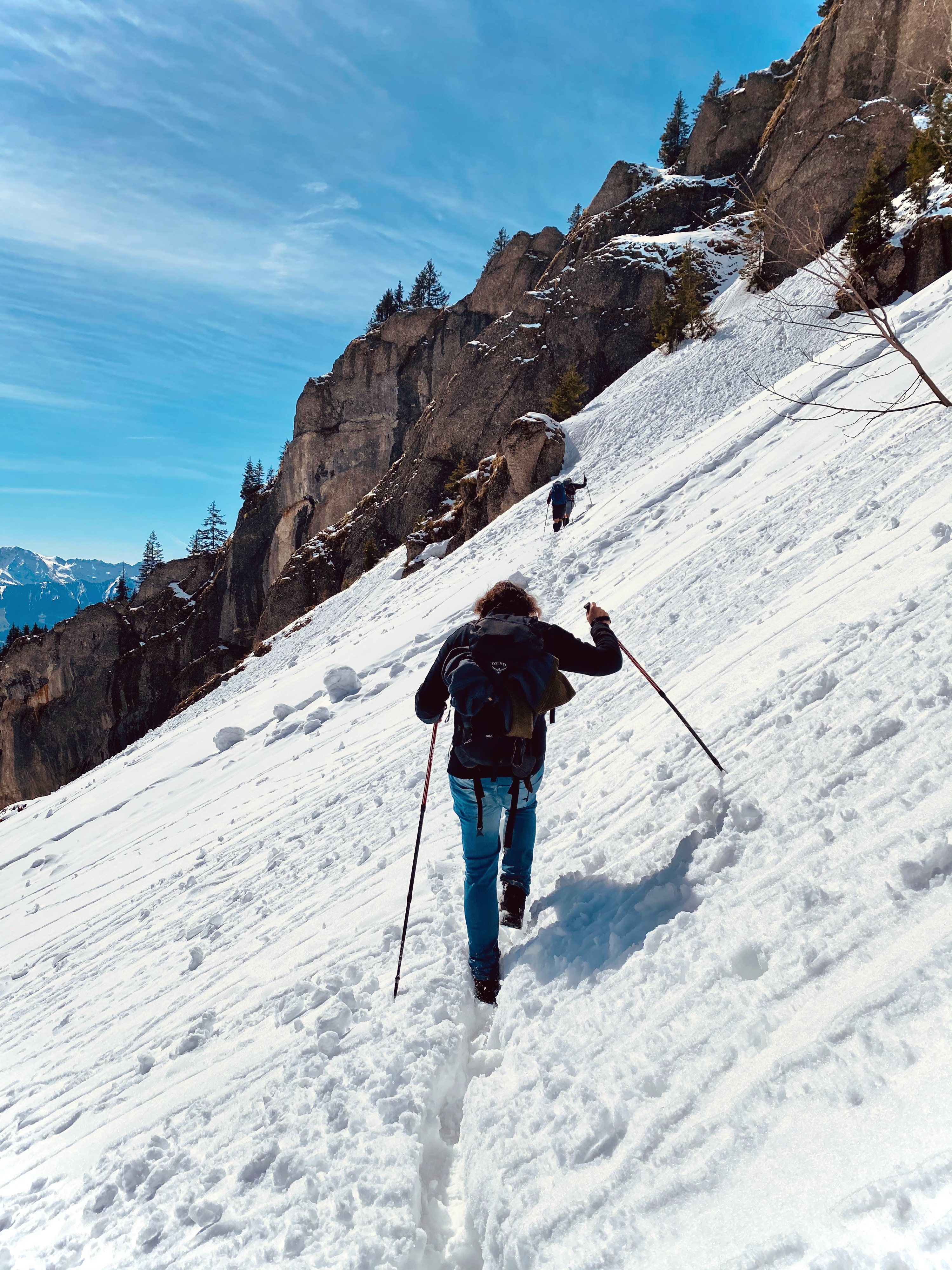
The slopes above Andalo and Fai are rich in vegetation and also houses several ski resorts, while the other descends towards the Adige river are steeper and rockier.
There's a trail leading to the summit.
The nearest mountain hut is Rifugio La Roda located 124m/406ft SSW of the summit.
By prominence Paganella is
# 4 out of 1160 in the Southern Rhaetian Alps # 2 out of 207 in the Brenta group # 80 out of 42694 in Italy # 12 out of 1796 in Provincia di Trento # 17 out of 3872 in Trentino-Alto Adige/Südtirol
We use GPS information embedded into the photo when it is available.
3D mountains overlay
Adjust mountain panorama to perfectly match your photos because recorded by camera photo position might be imprecise.
Move tool
Rotate tool
Zoom
More customization
Choose which peak labels should make into the final photo and what photo title should be.
Next
Photo Location
Satellitte
Flat map
Relief map
Latitude
Longitude
Altitude
OR
Latitude
°'''
Longitude
°'''
Apply
Register Peak
Peak Name
Latitude
Longitude
Altitude
Register
Teleport
PeakVisor
This 3D model of Sagarmatha National Park in Nepal was made using the PeakVisor app topographic data. The mobile app features higher precision models worldwide, more topographic details, and works offline. Download PeakVisor maps today.
Download OBJ model
PeakVisor
The download should start shortly. If you find it useful please consider supporting the PeakVisor app.
PeakVisor for iOS and Android
Be a superhero of outdoor navigation with state-of-the-art 3D maps and mountain identification in the palm of your hand!