
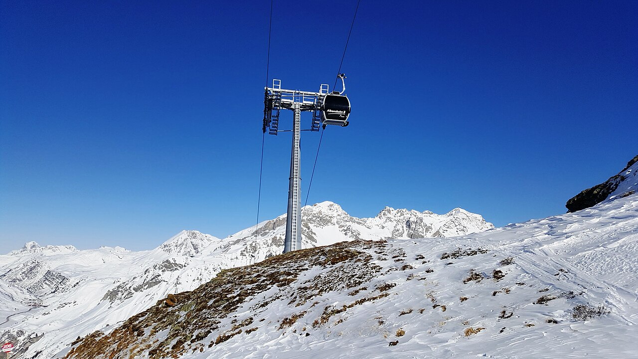
 Cable car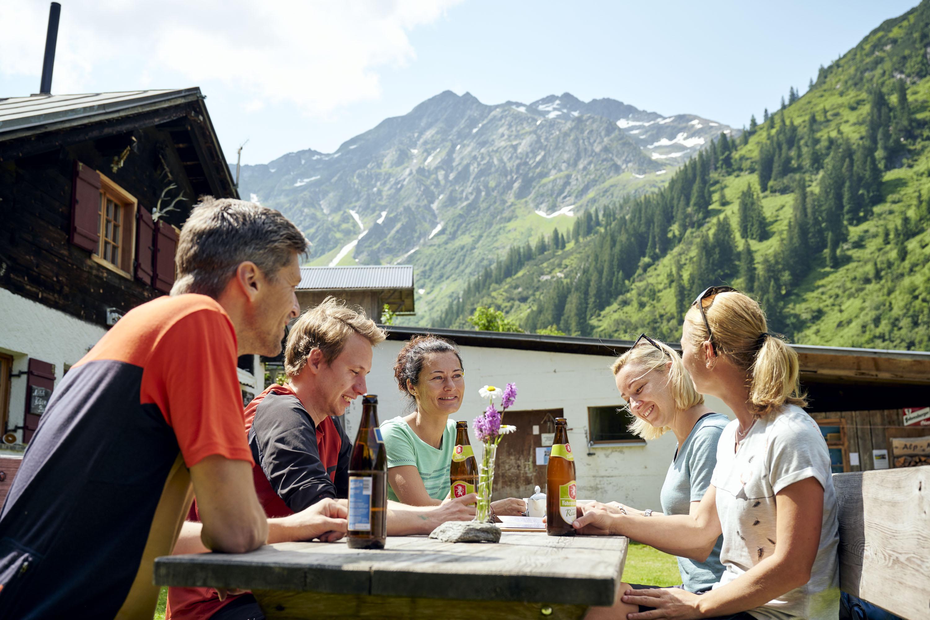
 Mountain hut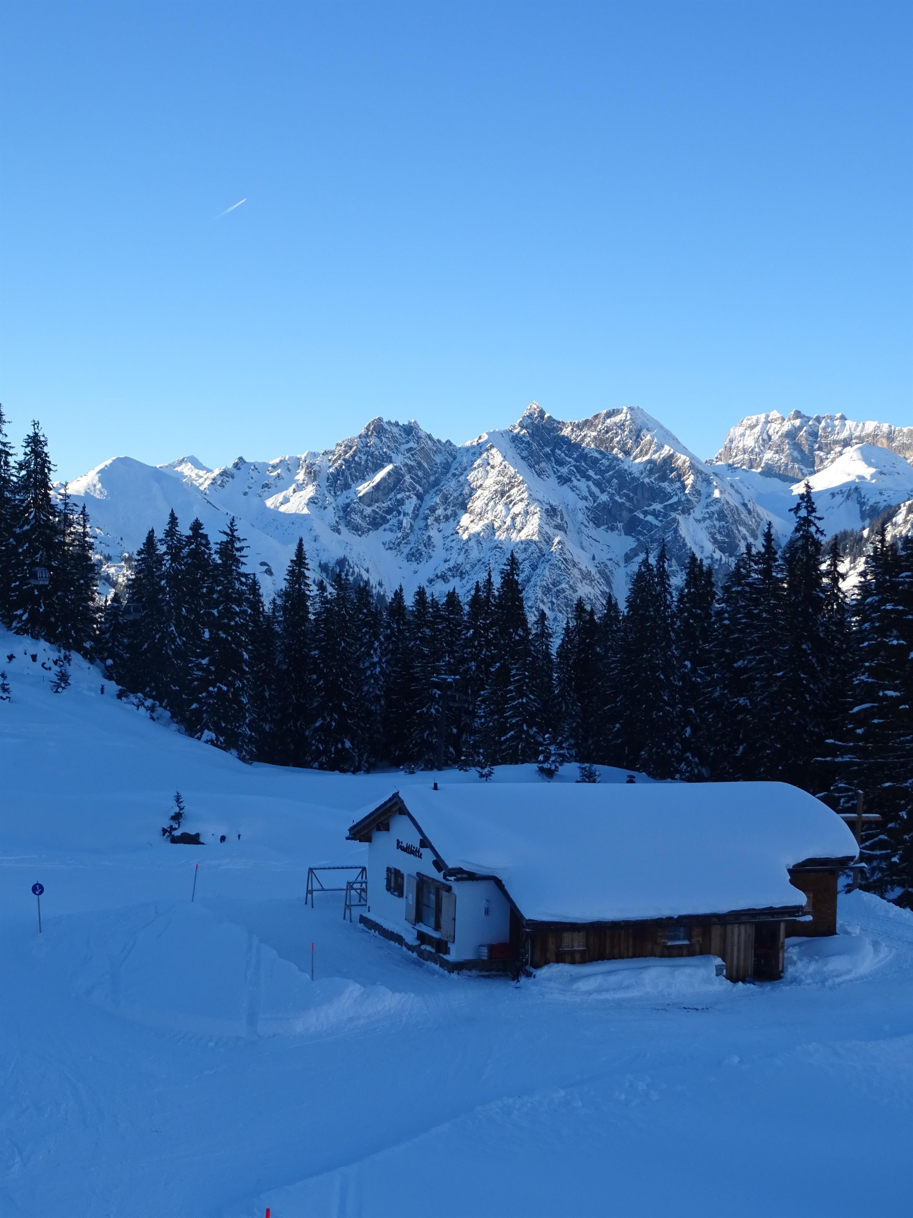
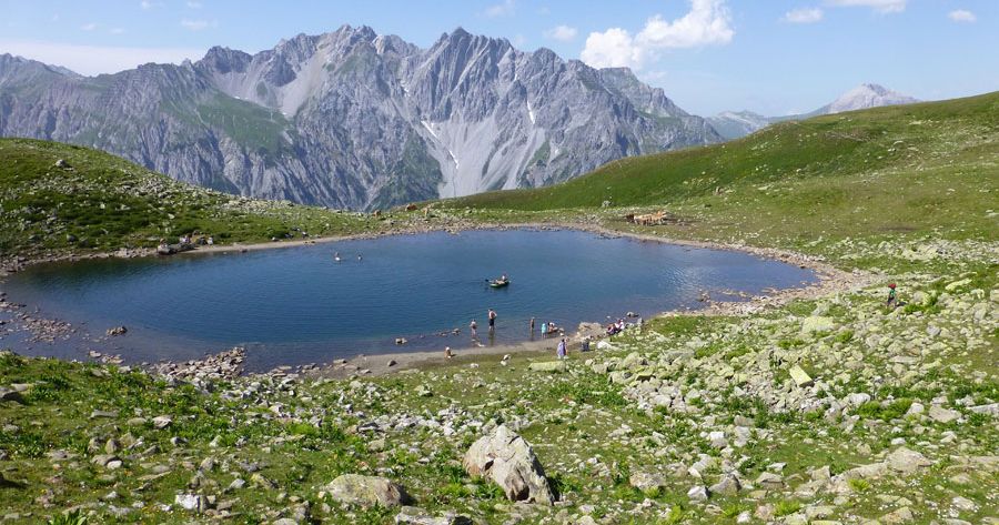
 Mountain pass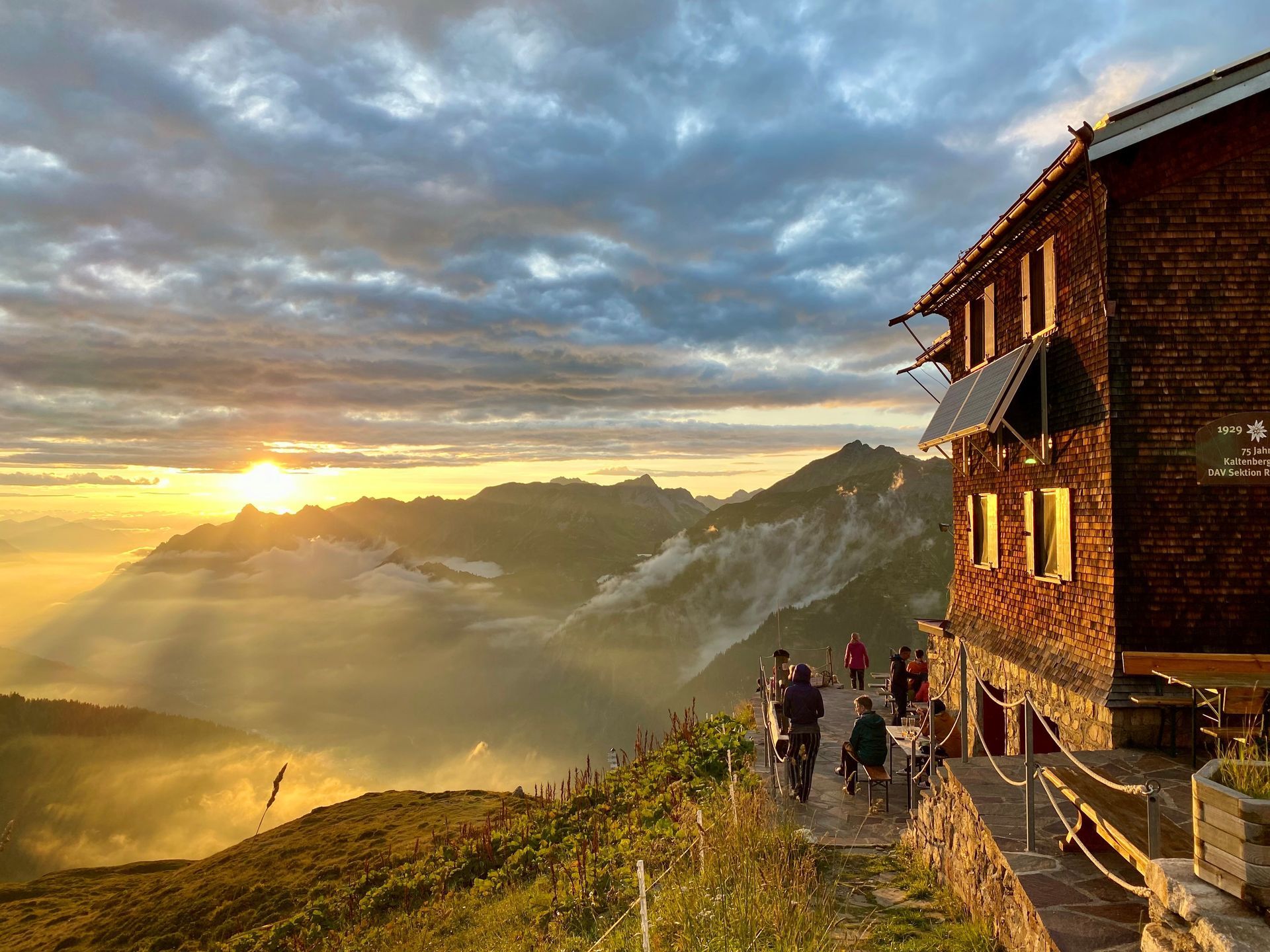






Curated by Alpenregion Vorarlberg
Klösterle
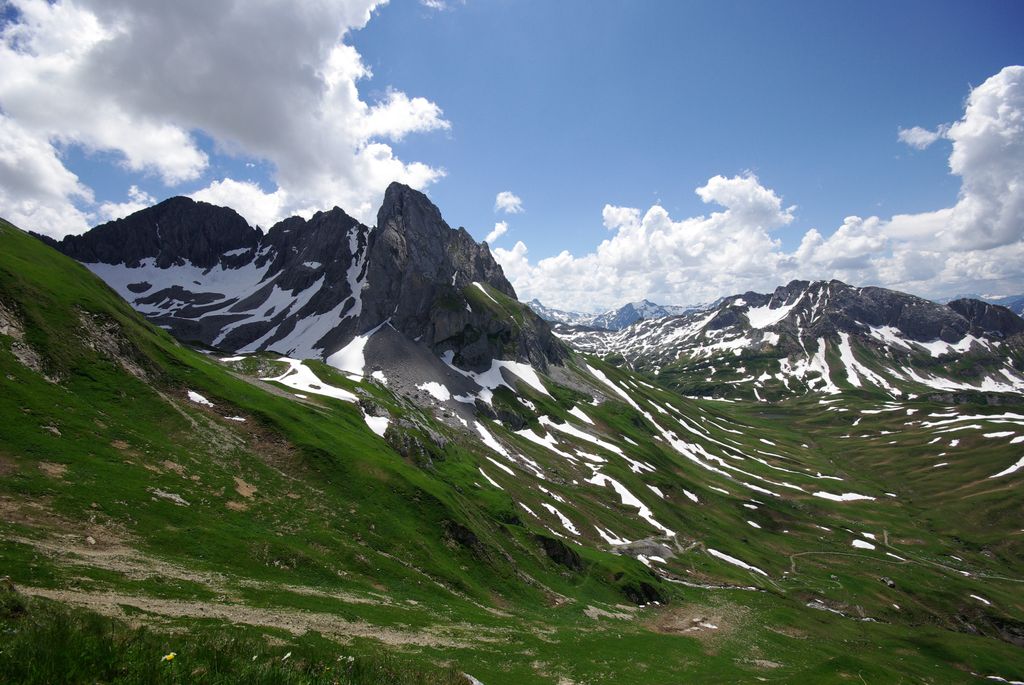
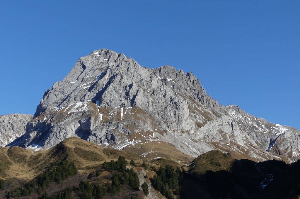
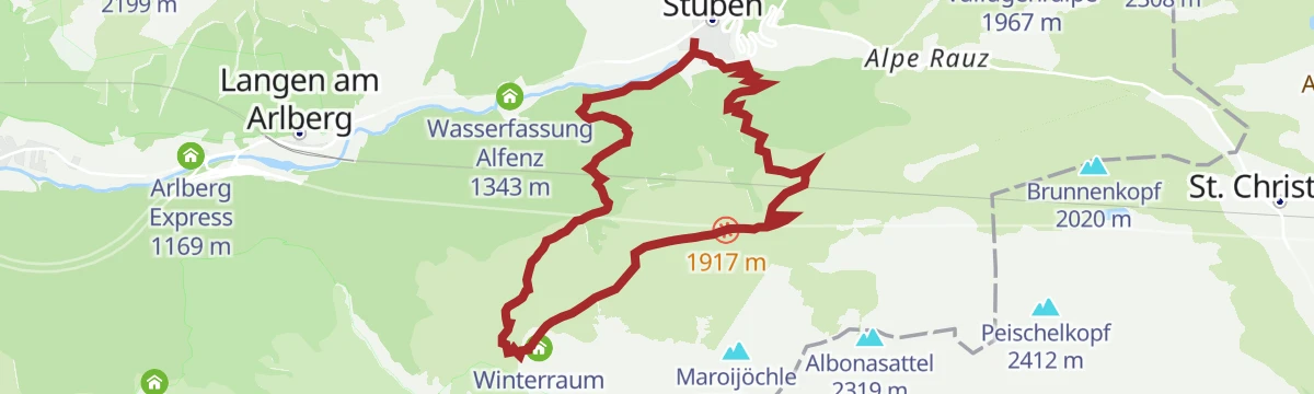
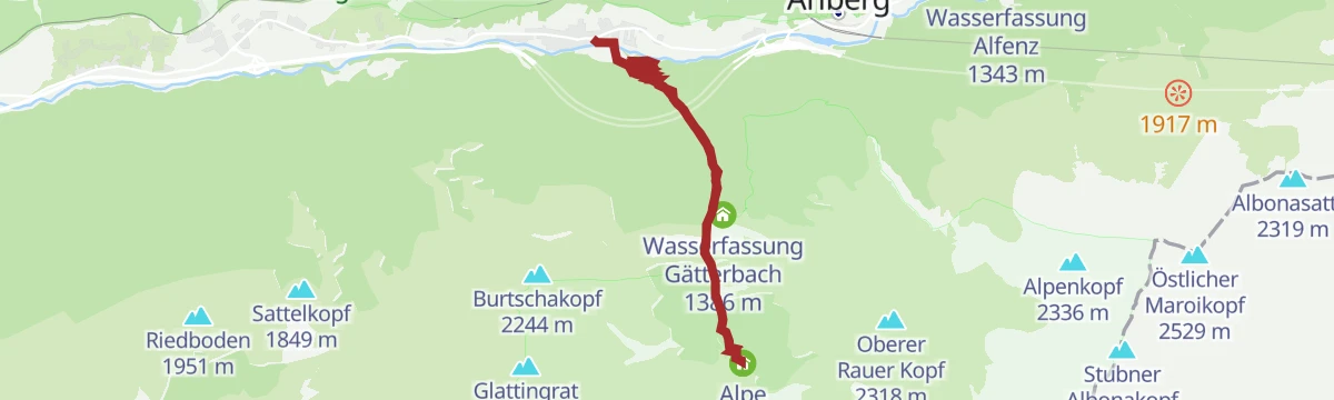
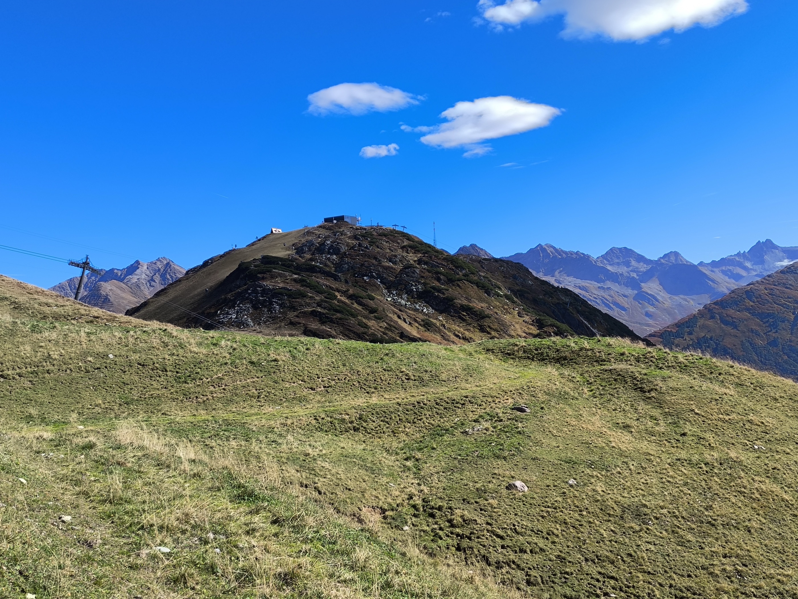
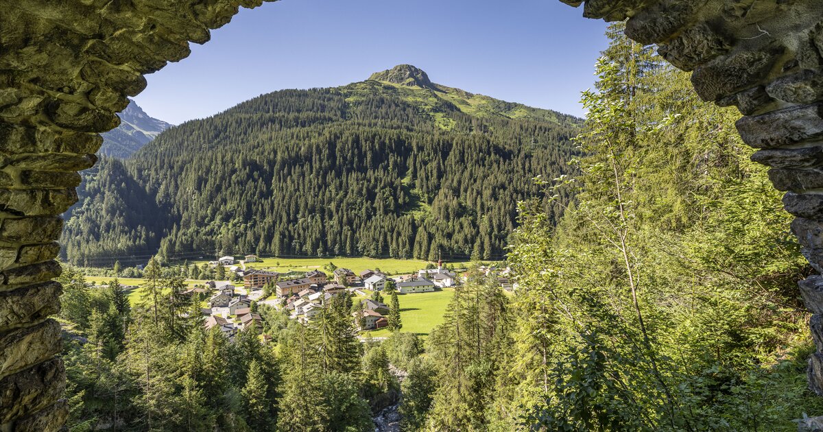
The main village of the Klostertal on the Arlberg approach, its hamlet Stuben a small historic ski village tied into the Arlberg lift network.
- 10Highlights
- 47Routes
- Featured summit · Galzig
Highlights
5 from neighbouring places
Albonabahn II
A chairlift on the Albona above Stuben, serving the north-facing slopes on the western side of the Arlberg ski area.
Alpe Nenzigast
A staffed alp in the Nenzigast valley, making its own cheese through the summer.
Bündthütte Sonnenkopf
A hut on the Sonnenkopf serving what the valley itself produces.
Kaltenberg See
A small mountain lake below the Kaltenberg in the Verwall range, south of Klösterle in the Klostertal.
See'le
A small lake, a See'le in local speech, on the slopes above Stuben am Arlberg in the Klostertal.
Trittkopf
A summit on the ridge above Zürs, on the Arlberg's western side.
Ulmer Hütte
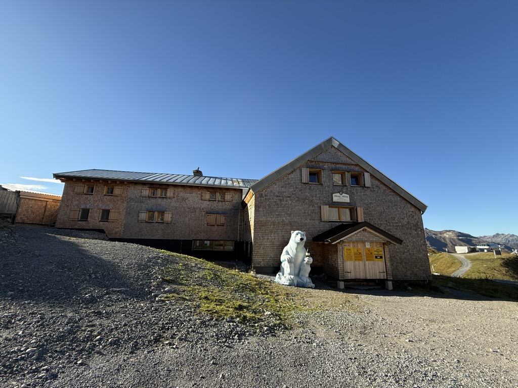
A DAV hut of 1903 in the Lechtal Alps, high above the Arlberg pass.
Kaltenberg Hütte - 2.089
A mountain hut at 2,089 m above Stuben am Arlberg, a base for the Kaltenberg and other summits of the Verwall.
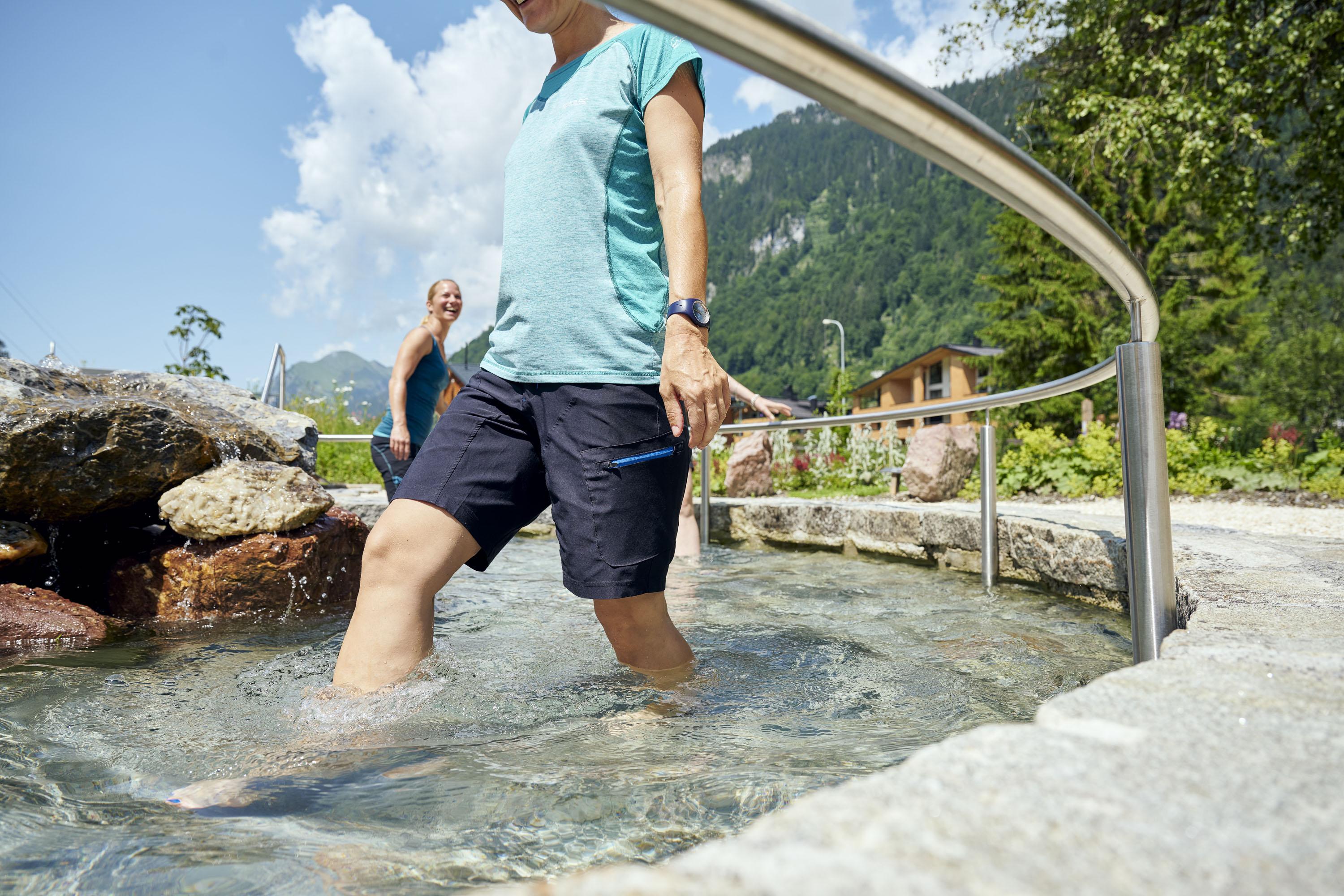
Kneipp und Relax Garten Alfenz
A Kneipp garden on the Alfenz, laid out for cold water and bare feet.
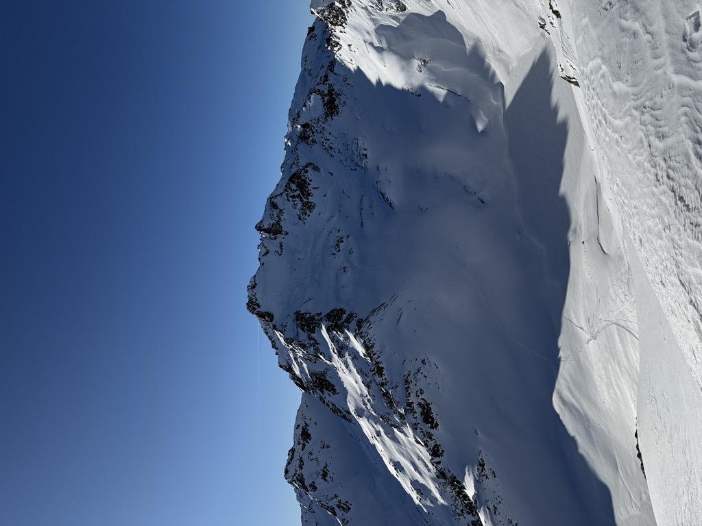
Kaltenberg
4 km away, in St. Anton am Arlberg
A Verwall summit on the Tyrol–Vorarlberg border; the quoted height belongs to its east top.
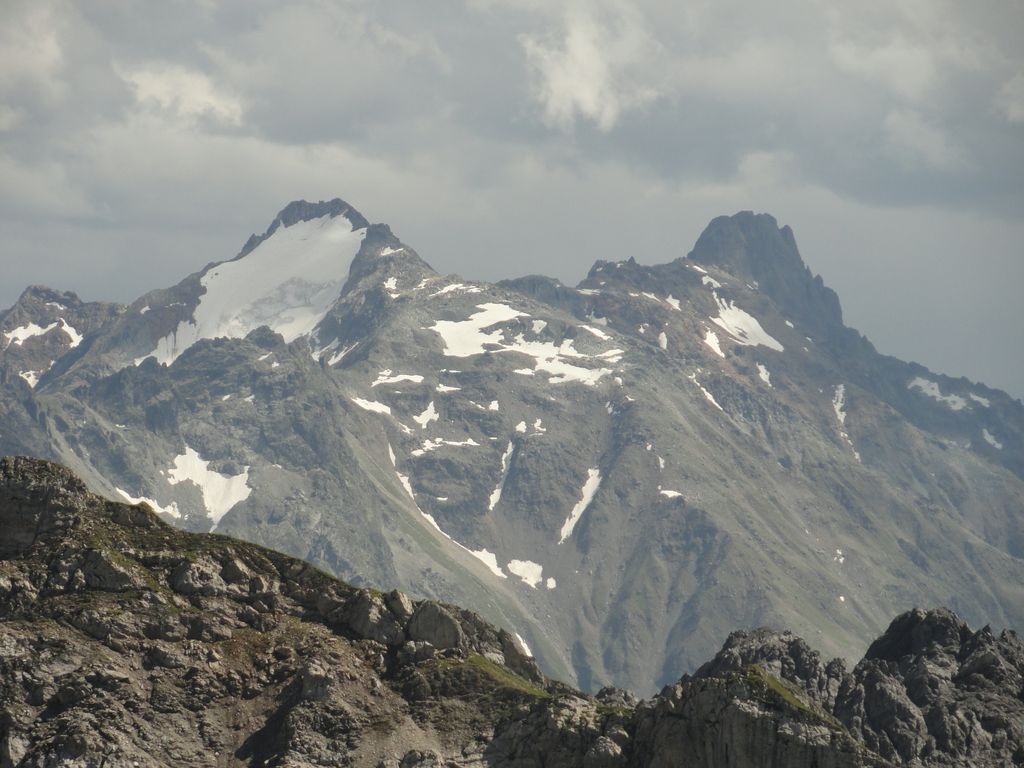
Pflunspitzen
4.7 km away, in St. Anton am Arlberg
The highest massif in the western Verwall, next to the Kaltenberg; Klösterle is the nearest village.
Untere Wildgrubenspitze
4.8 km away, in Lech
The highest mountain of the Lechquellen range, west of Zürs.
Roggalspitze
4.9 km away, in Dalaas
A rock peak in the Lechquellen range, among the finest climbing summits of the group.
Östliche Eisentaler Spitze
5.1 km away, in Silbertal
A Verwall summit on the ridge above the Eisental, well away from any road.
Nothing of this kind in Klösterle.
Routes
Arlberg Trail Lech - St. Anton (Moderate Alternative)
A moderate way to walk from Lech to St. Anton: over the Flexenpass and past the Valfagehralpe to the Ulmer Hütte, letting lifts and gentler paths replace the original stage's biggest climbs.
- 10.7 km
- Distance
- 882 m
- Ascent
- 5 h 39 min
- Duration
- 80
- Check-ins
Arlberg Trail Etappe St. Anton - Stuben (Originalroute)
The original opening stage of the Arlberg Trail, leaving St. Anton for Stuben with a passage by the Kaltenberghütte — over 1,500 m of climbing before the descent to the quiet village.
- 17.4 km
- Distance
- 1 569 m
- Ascent
- 9 h 51 min
- Duration
- 71
- Check-ins
Bergstation Obermuri - Westliche Eisentalerspitze
The western of the two Eisentaler Spitzen from Obermuri, high from the first step.
- 3.8 km
- Distance
- 0 m
- Ascent
- 0 m
- Descent
- 55 min
- Duration
Open route PeakVisor tTRL (OpenStreetMap piste_type=skitour)Kaltenberg
A ski tour to Kaltenberg, 1,421 m of climbing in 8.4 km between 1,624 and 2,845 m.
- 7.8 km
- Distance
- 0 m
- Ascent
- 0 m
- Descent
- 1 h 54 min
- Duration
Open route PeakVisor tTRL (OpenStreetMap piste_type=skitour)St. Anton - Lech - Bregenzerwald - Bodensee
A long road stage crossing the Arlberg, the Flexenpass and the Losenpass on the way from Tirol down to the shore of Lake Constance.
- 87.4 km
- Distance
- 2 340 m
- Ascent
- 9 h 57 min
- Duration
- 175
- Check-ins
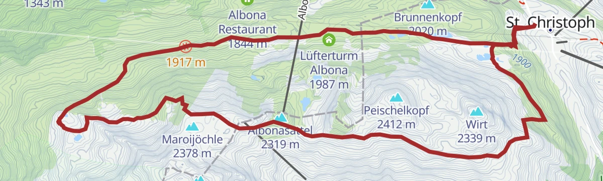
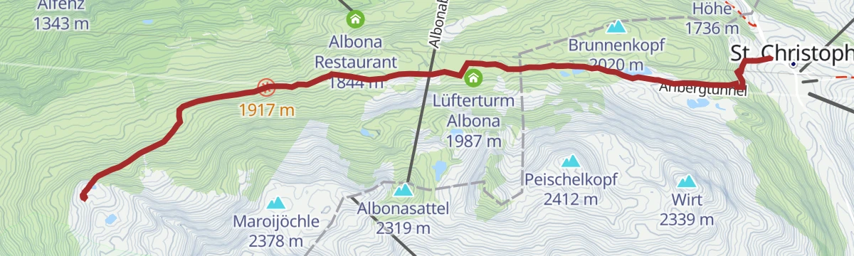
Arlberg Trail St. Anton - Stuben (leichte Alternative)
The easier variant of the St. Anton-to-Stuben stage, climbing past the Rasthaus Valfagehr to the Hospiz Alm at St. Christoph before the crossing toward Stuben — lifts trim the hardest work.
- 11.7 km
- Distance
- 701 m
- Ascent
- 4 h 51 min
- Duration
- 64
- Check-ins
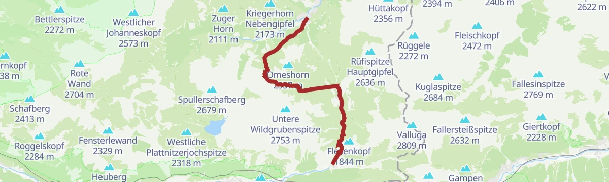
2-Tages-Tour Spullersee
A high two-day walk to the Spullersee, counted among the finest places in Vorarlberg.
- 13.9 km
- Distance
- 976 m
- Ascent
- 6 h 25 min
- Duration
Open route Alpenregion VorarlbergBergstation Obermuri - Östliche Eisentalerspitze
From Obermuri to the eastern Eisentaler Spitze, the whole tour above 2,100 m.
- 3.8 km
- Distance
- 0 m
- Ascent
- 0 m
- Descent
- 56 min
- Duration
Open route PeakVisor tTRL (OpenStreetMap piste_type=skitour)Langen am Arlberg - Ameisenjoch
From Langen am Arlberg at 1,184 m, 1,309 m of ascent over 8.8 km to Ameisenjoch.
- 8.0 km
- Distance
- 0 m
- Ascent
- 0 m
- Descent
- 1 h 57 min
- Duration
Open route PeakVisor tTRL (OpenStreetMap piste_type=skitour)Bike Trail Tirol Etappe 31
A stage linking the upper Lechtal with the Arlberg, crossing the Flexenpass above Lech and finishing high on the pass road.
- 34.7 km
- Distance
- 1 249 m
- Ascent
- 4 h 15 min
- Duration
- 89
- Check-ins
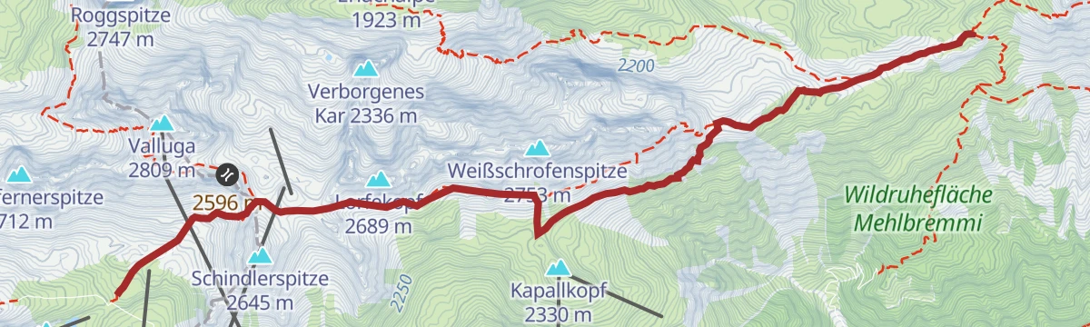
Valluga- Ulmer Hütte - St. Christoph
From the Valluga lifts down past the Ulmer Hütte and over the Arlensattel to St. Christoph, where the Hospiz Alm waits — a high traverse with barely any climbing thanks to the cable cars.
- 7.2 km
- Distance
- 105 m
- Ascent
- 1 h 57 min
- Duration
- 55
- Check-ins
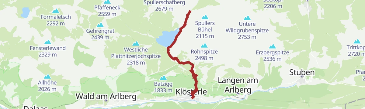
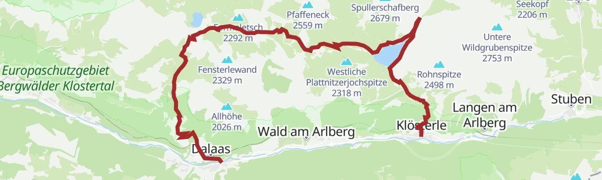
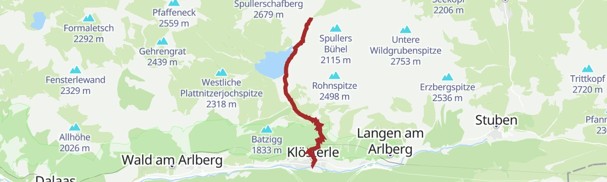
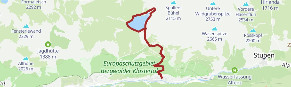
2-Tages-Tour Spullersee (Etappe 1)
The first day of the Spullersee walk, the steep climb out of the Klostertal to the lake.
- 7.5 km
- Distance
- 956 m
- Ascent
- 3 h 57 min
- Duration
Open route Alpenregion VorarlbergInnerwald - Glattingrat
From Innerwald at 999 m, 1,253 m of ascent over 5.9 km to Glattingrat.
- 5.1 km
- Distance
- 0 m
- Ascent
- 0 m
- Descent
- 1 h 15 min
- Duration
Open route PeakVisor tTRL (OpenStreetMap piste_type=skitour)Langen am Arlberg - Kaltenberg
Kaltenberg from Langen am Arlberg: 1,785 m of climbing in 9.1 km, topping out at 2,864 m.
- 8.4 km
- Distance
- 0 m
- Ascent
- 0 m
- Descent
- 2 h 3 min
- Duration
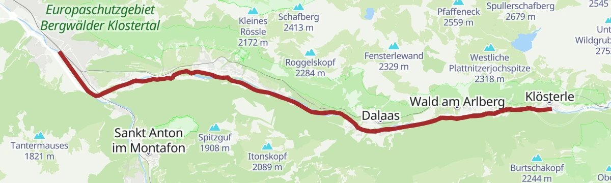
Open route PeakVisor tTRL (OpenStreetMap piste_type=skitour)Klostertal Radweg
The Klostertal cycle way, running the length of the valley from Bludenz up to Klösterle and back.
- 47.3 km
- Distance
- 540 m
- Ascent
- 4 h 42 min
- Duration
Open route Alpenregion VorarlbergStuttgarter Hütte - Ulmer Hütte
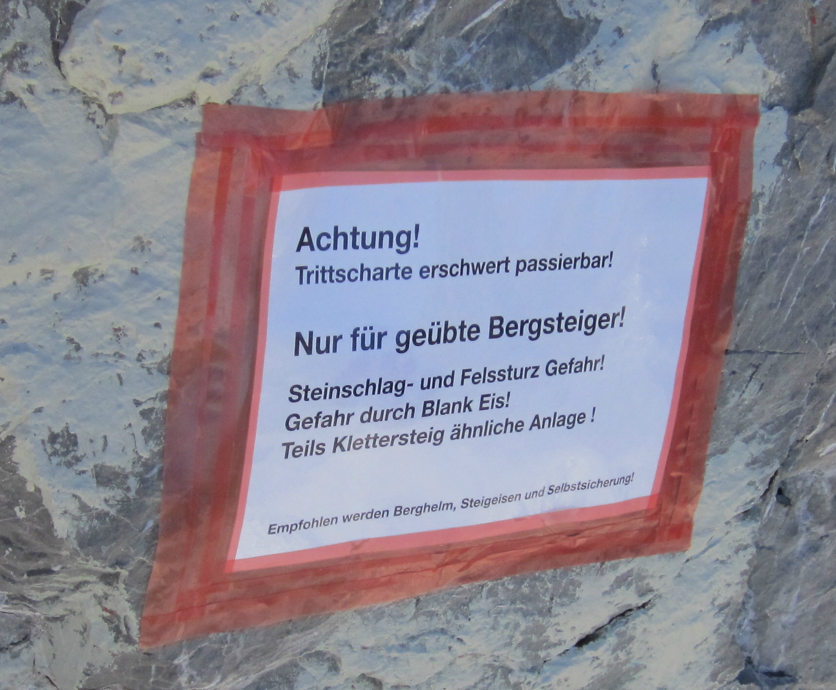
Short hut-to-hut link on the Robert-Bosch-Weg, traversing under the walls of the Roggspitze to the Trittscharte at 2,580 m and down to the Ulmer Hütte below the Valluga.
- 6.6 km
- Distance
- 445 m
- Ascent
- 3 h 2 min
- Duration
- 50
- Check-ins
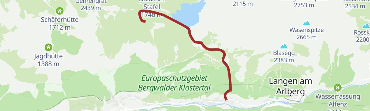
2-Tages-Tour Spullersee (Etappe 2)
The second day of the Spullersee walk, leaving the lake for the descent to the Klostertal.
- 6.8 km
- Distance
- 36 m
- Ascent
- 2 h 36 min
- Duration
Open route Alpenregion VorarlbergKlösterle - Plattnitzerjochspitze
From Klösterle at 1,077 m, 1,229 m of ascent over 6 km to Plattnitzerjochspitze.
- 5.3 km
- Distance
- 0 m
- Ascent
- 0 m
- Descent
- 1 h 18 min
- Duration
Open route PeakVisor tTRL (OpenStreetMap piste_type=skitour)Ulmer Hütte - Leutkircher Hütte
Arlberg hut link over the Mattunjoch, with the option of the Weißschrofen via ferrata, ending at the Leutkircher Hütte on the Almajurjoch.
- 7.7 km
- Distance
- 430 m
- Ascent
- 3 h 5 min
- Duration
- 44
- Check-ins
3-Tages-Tour Spullersee und Formarinsee
Three days in the Lechquellen mountains linking the Spullersee and the Formarinsee by way of two alpine-club huts.
- 25.7 km
- Distance
- 1 550 m
- Ascent
- 11 h 9 min
- Duration
Open route Alpenregion VorarlbergLangen am Arlberg - Maroiköpfe
1,322 m on skis from Langen am Arlberg to Maroiköpfe, 6.1 km with its high point at 2,521 m.
- 5.5 km
- Distance
- 0 m
- Ascent
- 0 m
- Descent
- 1 h 20 min
- Duration
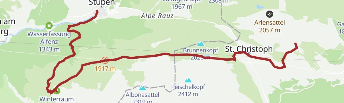
Open route PeakVisor tTRL (OpenStreetMap piste_type=skitour)Arlberg Trail St. Anton - Stuben (Moderate Alternative)
An easier high crossing from the Verwallstube past the Kaltenberghütte and the Hospiz Alm, ending in the village of Stuben.
- 13.5 km
- Distance
- 480 m
- Ascent
- 4 h 22 min
- Duration
- 37
- Check-ins
3-Tages-Tour Verwall
Three quiet days in the Verwall among high plateaus and remote valleys, ending at a self-catering hut.
- 26.5 km
- Distance
- 1 749 m
- Ascent
- 12 h 5 min
- Duration
Open route Alpenregion VorarlbergRauz - Valluga
From Rauz at 1,624 m, 1,194 m of ascent over 6.1 km to Valluga.
- 5.0 km
- Distance
- 0 m
- Ascent
- 0 m
- Descent
- 1 h 14 min
- Duration
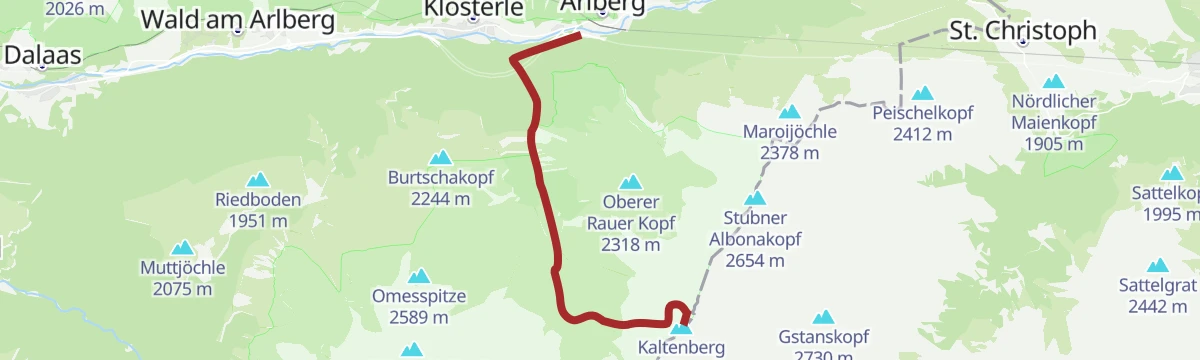
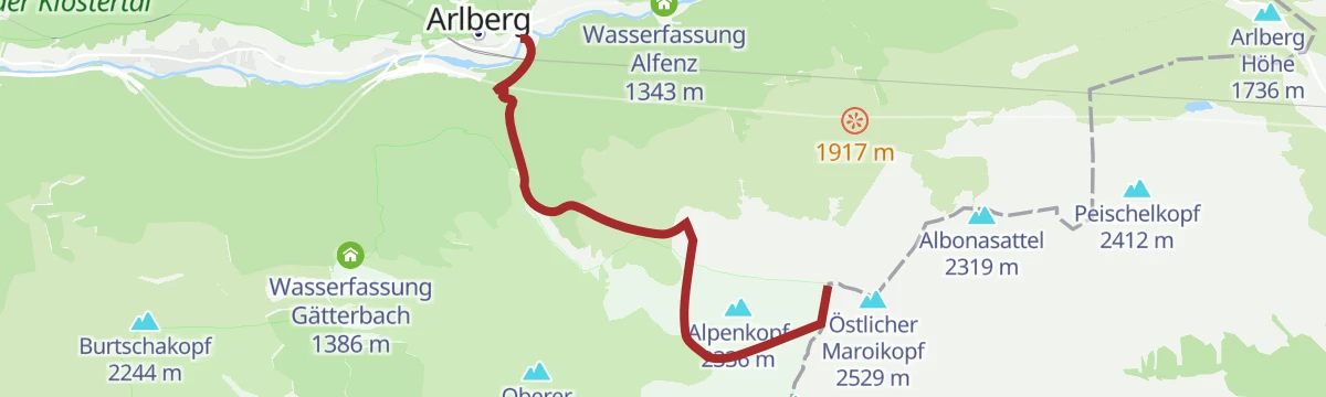
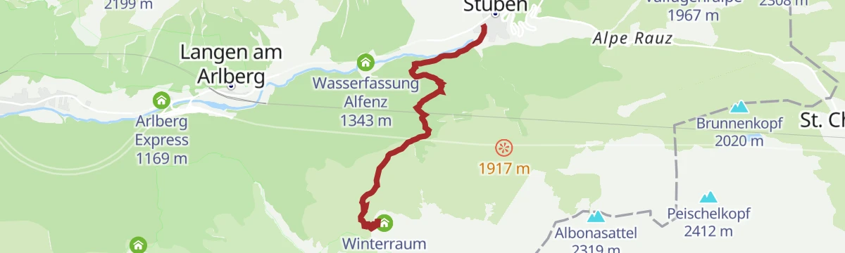
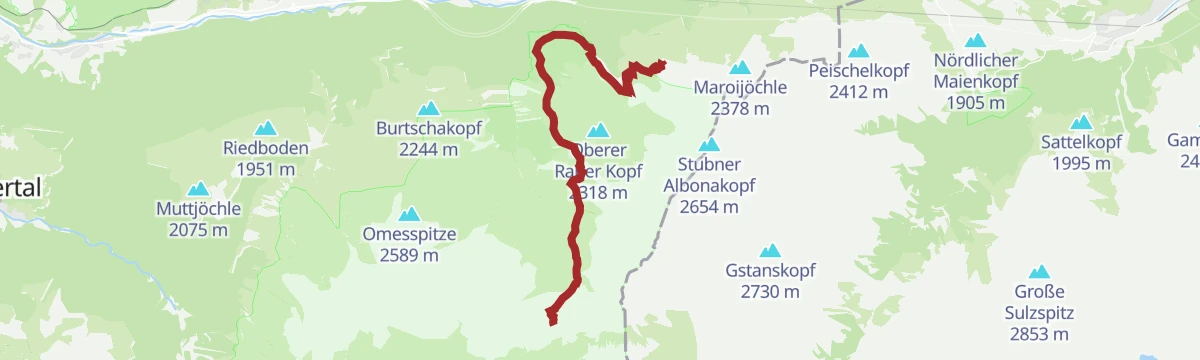
Open route PeakVisor tTRL (OpenStreetMap piste_type=skitour)Stuben - Kaltenberg Hütte
Direct hut ascent from Stuben am Arlberg to the Kaltenberghütte, 700 m of steady climbing to a terrace with wide Arlberg views.
- 4.5 km
- Distance
- 706 m
- Ascent
- 4 h 3 min
- Duration
- 21
- Check-ins
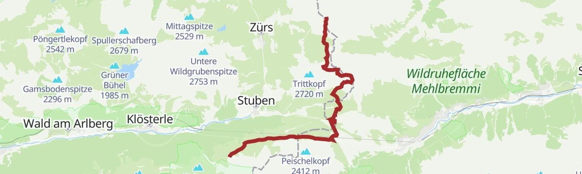
Arlberg Trail Stuben – Lech
From Stuben by the Franz-Josef-Weg across the European watershed to Zürs, then over the Madloch to Lech.
- 15.1 km
- Distance
- 1 167 m
- Ascent
- 7 h 30 min
- Duration
Open route Vorarlberg TourismusStuben am Arlberg - Krachelspitze
Krachelspitze from Stuben am Arlberg: 1,312 m of climbing in 6.6 km, topping out at 2,675 m.
- 6.2 km
- Distance
- 0 m
- Ascent
- 0 m
- Descent
- 1 h 31 min
- Duration
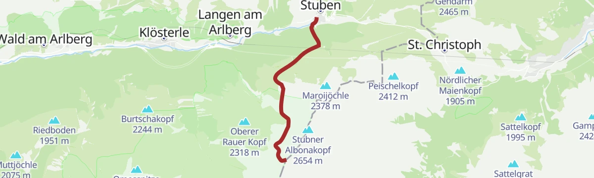
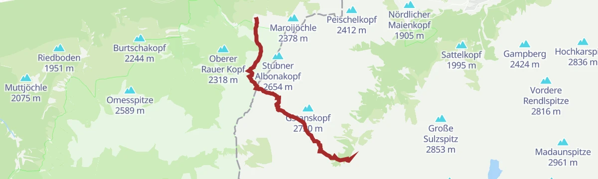
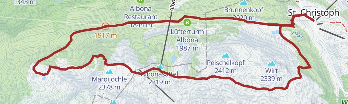
Open route PeakVisor tTRL (OpenStreetMap piste_type=skitour)Berggeistweg
High traverse to the Kaltenberghütte crossing the Albonasattel, with the Albonagratstube along the way; a long day in the mountains between Klostertal and Arlberg.
- 15.0 km
- Distance
- 890 m
- Ascent
- 6 h 11 min
- Duration
- 20
- Check-ins
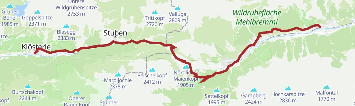
Jakobsweg: Klösterle am Arlberg bis Bludenz
The stretch of the Way of St James that runs from Klösterle down the Klostertal to Bludenz.
- 24.8 km
- Distance
- 361 m
- Ascent
- 7 h 10 min
- Duration
Open route Alpenregion VorarlbergKaltenberg Hütte - Konstanzer Hütte (Reutlinger Weg)
A hut-to-hut path over the Gstansjöchli, passing the Kaltenbergsee and the Pflunhütte on the way down into the Verwall.
- 10.0 km
- Distance
- 808 m
- Ascent
- 5 h 12 min
- Duration
- 19
- Check-ins
Jakobsweg: Pettneu (Tirol) bis Klösterle am Arlberg
The Way of St James from Pettneu in Tyrol over the Arlberg pass and down into Vorarlberg.
- 25.2 km
- Distance
- 985 m
- Ascent
- 8 h 28 min
- Duration
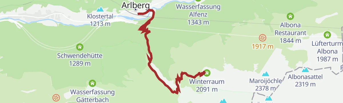
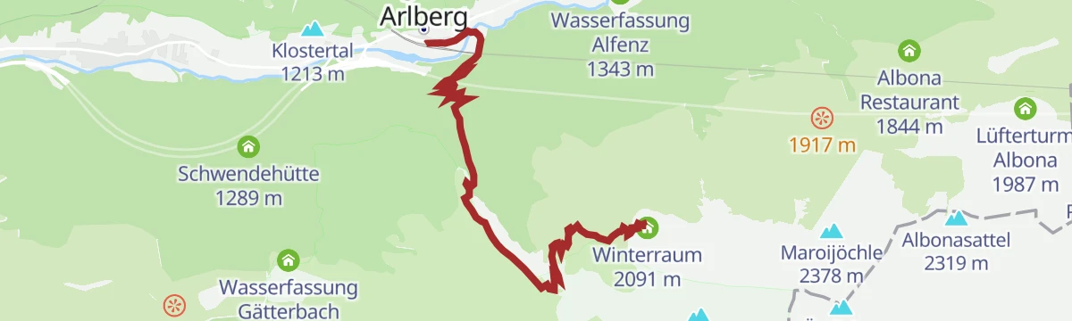
Open route Alpenregion VorarlbergKaltenberg Hütte, 2089 m
Approach hike to the Kaltenberghütte at 2,089 m, a steady climb of about 400 m to the Verwall hut and its winter room, with Arlberg panoramas from the terrace.
- 6.2 km
- Distance
- 419 m
- Ascent
- 2 h 48 min
- Duration
- 8
- Check-ins
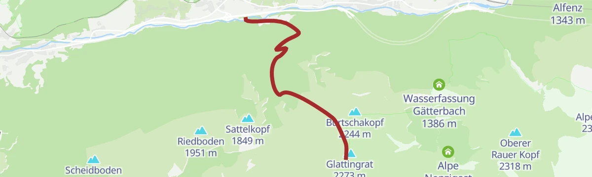
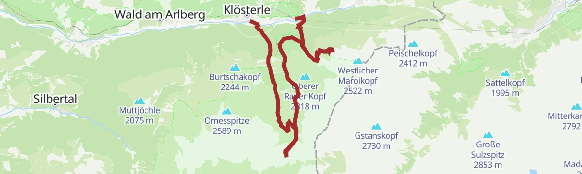
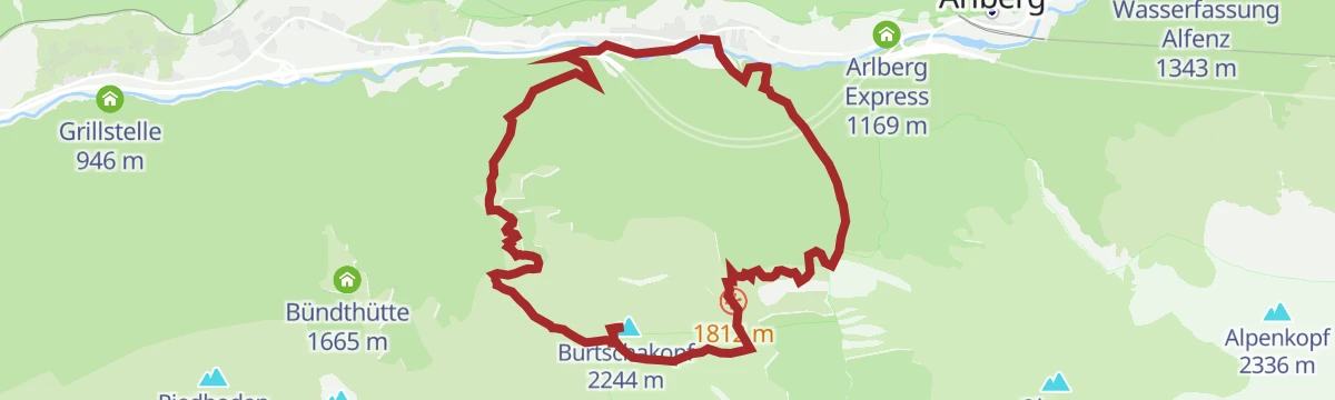
Klösterle - Burtschakopf 2.244 m
A demanding round to the Burtschakopf at 2,244 m, the local summit of Klösterle am Arlberg.
- 13.1 km
- Distance
- 1 204 m
- Ascent
- 7 h 32 min
- Duration
Open route Alpenregion VorarlbergLangen - Kaltenberg Hütte
Steep, direct ascent from Langen am Arlberg to the Kaltenberghütte, gaining more than 850 m through forest and open slopes in under six kilometres.
- 5.8 km
- Distance
- 863 m
- Ascent
- 4 h 59 min
- Duration
- 8
- Check-ins
Min Weag 12
Stage 12 of the Min Weag, a hard full day from the Stuttgarter Hütte across to the Kaltenberghütte.
- 16.0 km
- Distance
- 917 m
- Ascent
- 6 h 51 min
- Duration
Open route Vorarlberg Tourismus3-Tages-Tour Spullersee und Formarinsee (Etappe 1)
The first day of the three-day lake tour, climbing from the Klostertal towards the Spullersee.
- 6.1 km
- Distance
- 897 m
- Ascent
- 3 h 34 min
- Duration
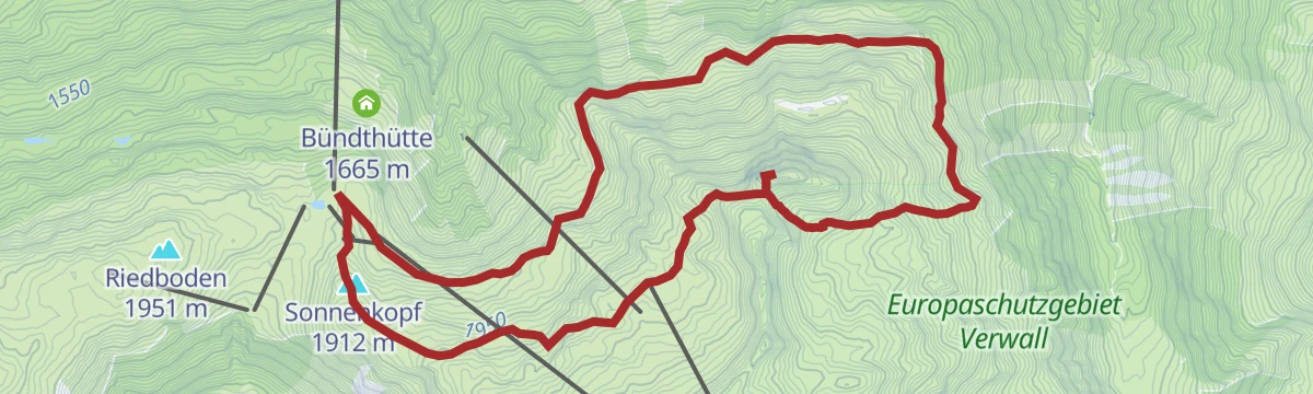
Open route Alpenregion VorarlbergNenzigasttal - Sonnenkopf
A high path out of the Nenzigasttal to the Sonnenkopf, above the Klostertal the whole way.
- 11.8 km
- Distance
- 1 267 m
- Ascent
- 6 h 15 min
- Duration
Open route Alpenregion Vorarlberg3-Tages-Tour Verwall (Etappe 1)
The first day of the Verwall round, a short and steep climb out of Langen am Arlberg.
- 5.9 km
- Distance
- 865 m
- Ascent
- 3 h 23 min
- Duration
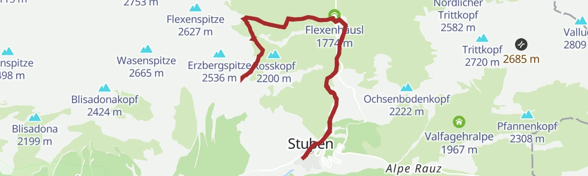
Open route Alpenregion VorarlbergStuben <> Erzbergsattel (Stubner Kreuz)
A demanding climb to the Erzbergsattel and the Stubner Kreuz, for the finest view down on Stuben.
- 12.0 km
- Distance
- 908 m
- Ascent
- 5 h 55 min
- Duration
Open route Vorarlberg Tourismus3-Tages-Tour Verwall (Etappe 2)
The middle day of the Verwall round, high across the plateaus between two huts.
- 10.9 km
- Distance
- 882 m
- Ascent
- 5 h 6 min
- Duration
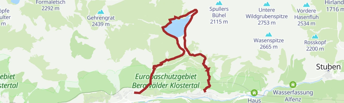
Open route Alpenregion VorarlbergWald am Arlberg - Spullersee - Klösterle
Up the Spreubachtobel to the Spullersee and back down the Wäldletobel to the valley.
- 12.3 km
- Distance
- 921 m
- Ascent
- 5 h 56 min
- Duration
Open route Alpenregion Vorarlberg3-Tages-Tour Verwall (Etappe 3)
The last day of the Verwall round, all descent from the high ground back to Langen.
- 9.7 km
- Distance
- 0 m
- Ascent
- 3 h 36 min
- Duration
Open route Alpenregion VorarlbergZur Kaltenberg Hütte
From St. Christoph along the Berggeistweg to the Kaltenberghütte, then back down into the Klostertal.
- 15.7 km
- Distance
- 740 m
- Ascent
- 5 h 30 min
- Duration
Open route Alpenregion VorarlbergBurtschakopf 2.244 m
A round on the Burtschakopf at 2,244 m, open on every side.
- 10.5 km
- Distance
- 686 m
- Ascent
- 4 h 38 min
- Duration
Open route Alpenregion VorarlbergKlösterle - Spullersee
From Klösterle up the Wäldletobel to the Spullersee and back the same way.
- 13.9 km
- Distance
- 887 m
- Ascent
- 6 h 3 min
- Duration
Open route Alpenregion VorarlbergPanoramawanderung auf einer Sonnenterrasse überm Klostertal
A round to the Kaltenberghütte, set on a sun terrace above the Klostertal with a bathing lake nearby.
- 10.3 km
- Distance
- 781 m
- Ascent
- 5 h 5 min
- Duration
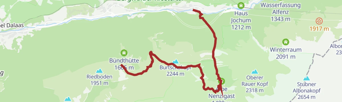
Open route Vorarlberg TourismusZur Alpe Nenzigast
An unhurried walk into the Nenzigasttal to its alp, one of the quietest side valleys here.
- 9.2 km
- Distance
- 547 m
- Ascent
- 3 h 48 min
- Duration
Open route Alpenregion Vorarlberg
No routes of this kind in Klösterle yet.
The region's own picks

Featured route
Arlberg Trail Lech - St. Anton (Moderate Alternative)
A moderate way to walk from Lech to St. Anton: over the Flexenpass and past the Valfagehralpe to the Ulmer Hütte, letting lifts and gentler paths replace the original stage's biggest climbs.
Planning a trip to Klösterle?
Everything else Vorarlberg has, in one place


Take Klösterle with you into the mountains
Every route on this page with 3D terrain, GPX navigation and offline maps — including the valleys with no signal.
Data sources
- Official website: www.vorarlberg-alpenregion.at ↗
- Routes and highlights: Alpenregion Vorarlberg, St. Anton am Arlberg, PeakVisor tTRL (OpenStreetMap piste_type=skitour), PeakVisor / OpenStreetMap, Vorarlberg Tourismus, Lechtal Tourismus, Dornbirn, Bodensee-Vorarlberg Tourismus
- Published as open data by the tourist boards named above.
- Region summary generated from the board's own material.
