
 Viewpoint
 Cable car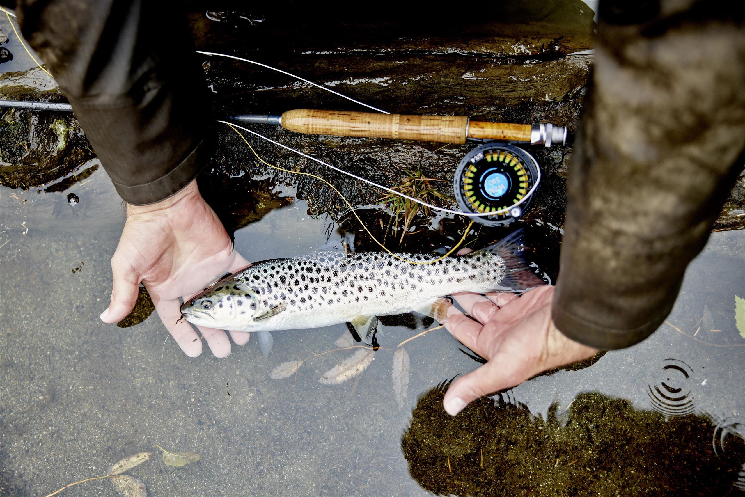
 Historic site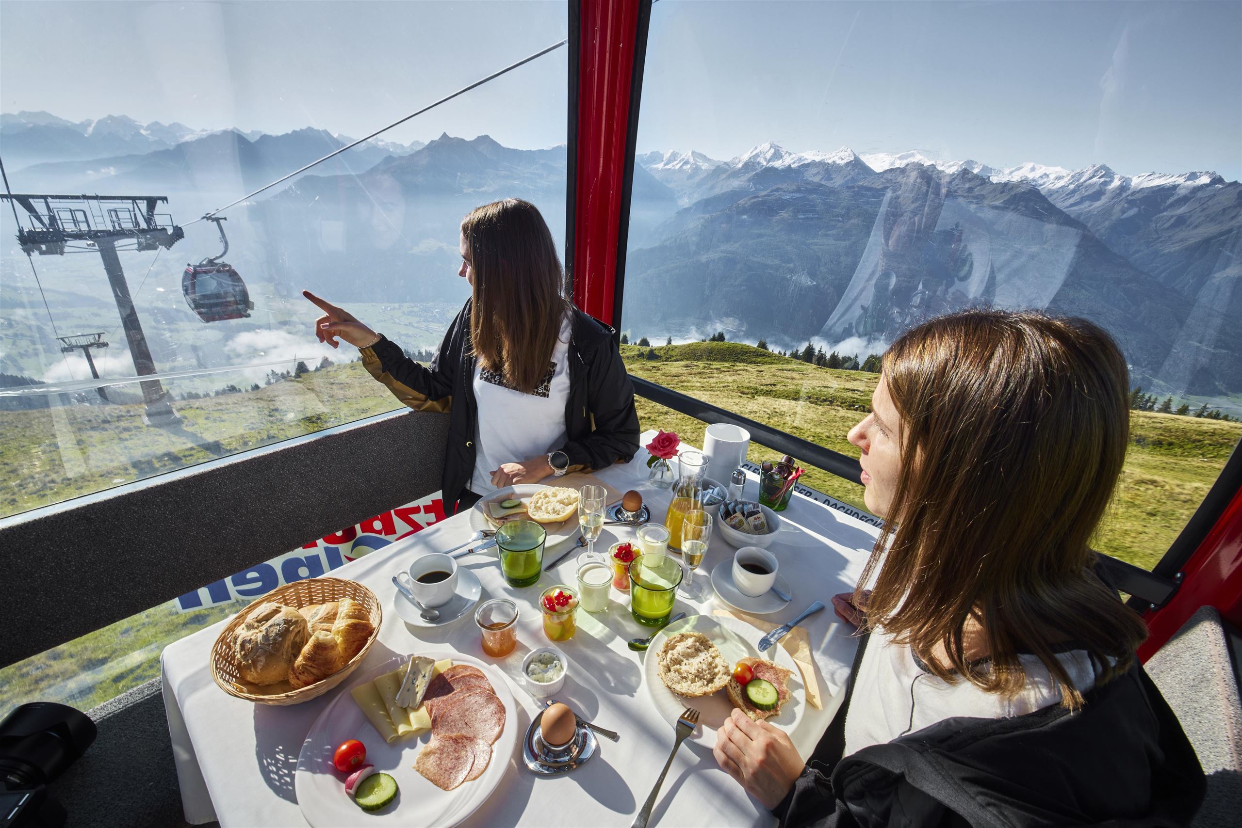











Curated by Nationalparkregion Mittersill
Hollersbach im Pinzgau
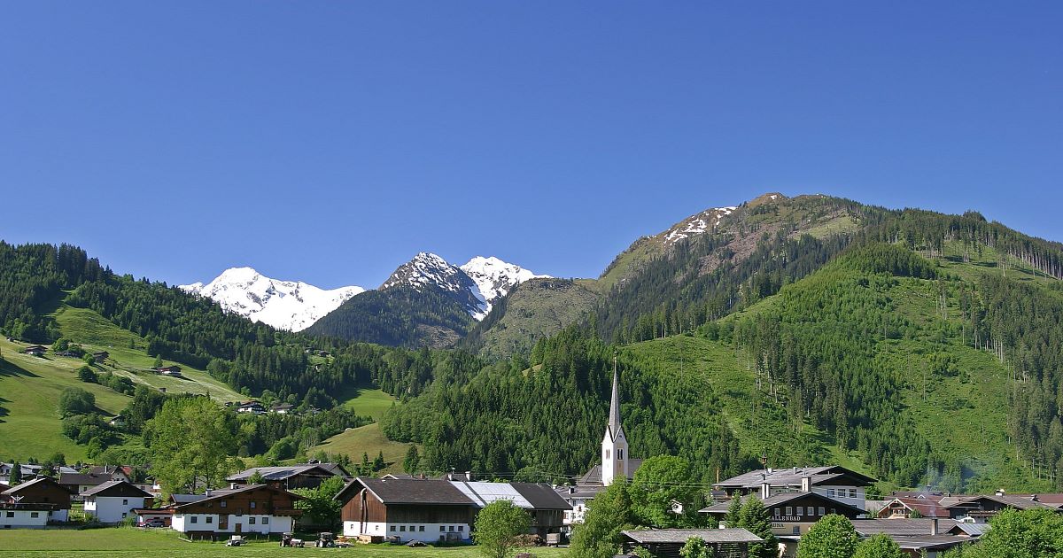
Facing Mittersill across the Salzach where the Hollersbachtal opens, an Oberpinzgau village with a herb garden by the church and a national-park valley running south.
- 13Highlights
- 29Routes
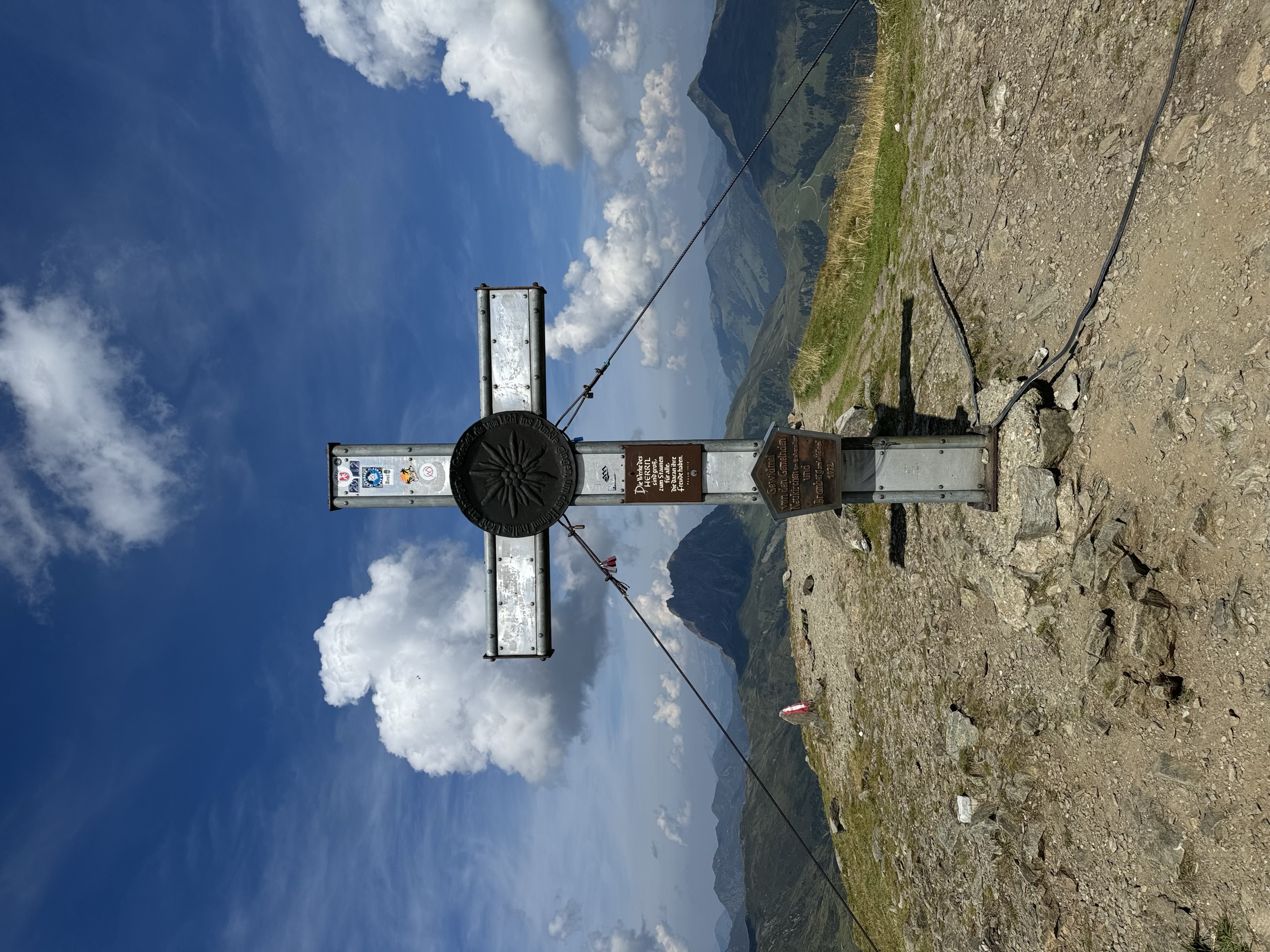
- Featured summit · Wildkogel
Highlights
2 from neighbouring places
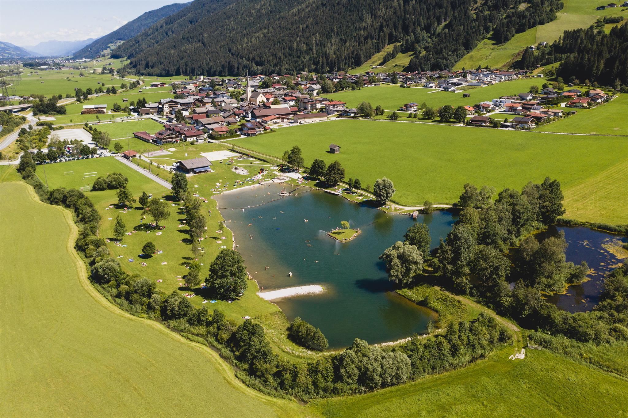
Freizeitanlage Hollidee Hollersbach
A leisure area with a bathing lake at Hollersbach im Pinzgau, offering swimming, beach volleyball, a skate area and playgrounds in summer.
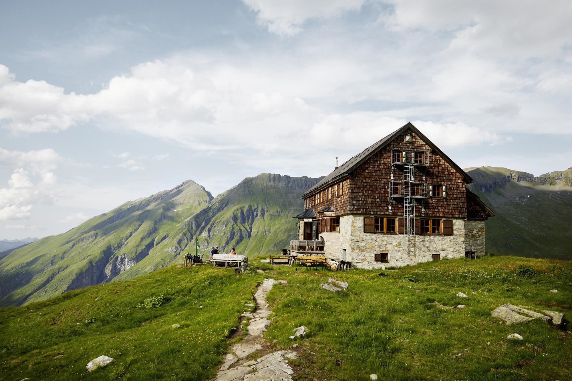
Neue Fürther Hütte
An alpine club refuge high in the Hollersbach valley of the Hohe Tauern, a base for tours to the glacial lakes and peaks at the valley head.
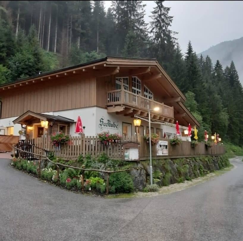
Seestube Hollersbach
A lakeside restaurant at the Hollersbach reservoir, serving Austrian home cooking and lunch menus beside the water south of the village.
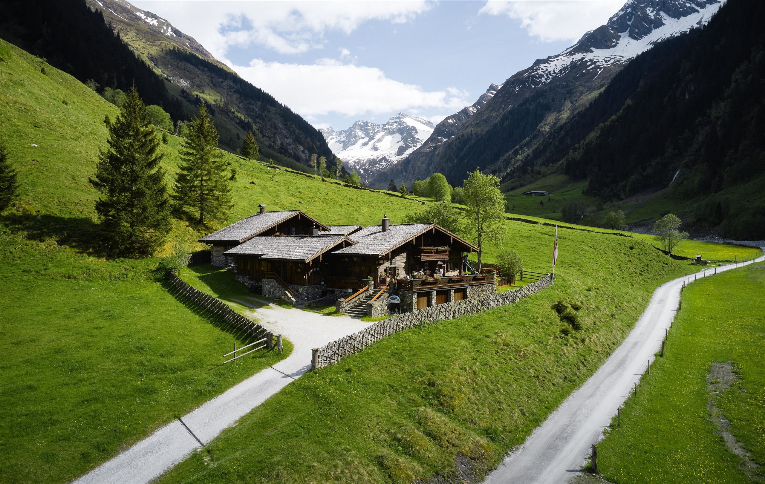
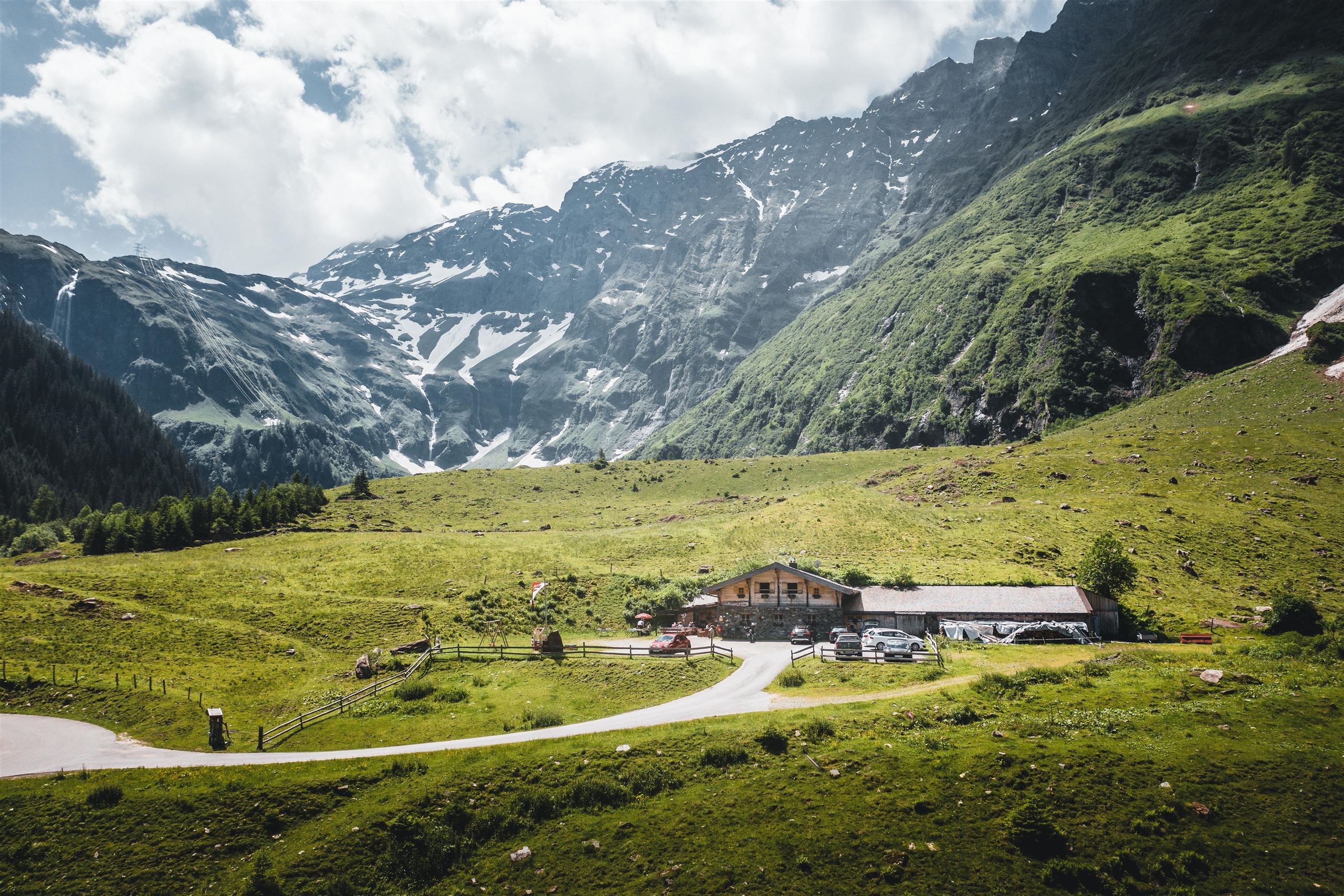
Senninger Alm 1.132 m - Hüttenurlaub SalzburgerLand
A rustic alm at 1,132 m near Hollersbach, serving traditional regional dishes and also let as a hut for self-catered mountain holidays.
Panoramabahn Kitzbüheler Alpen
A gondola from Hollersbach in the Pinzgau up to the Resterhöhe, linking the Salzach valley with the Kitzbühel ski area.
Bergbahn Kitzbühel - Panoramabahn in Hollersbach
The Panoramabahn gondola from Hollersbach in the Salzburg Oberpinzgau onto the Resterhöhe, the southern entry to the Kitzbühel ski area.
Fischen - Hollersbacher Stausee
Fishing waters at the small Hollersbach reservoir south of the village, with permits and tackle hire for family-friendly angling.
Kräutergarten Hollersbach & Bienenlehrpfad
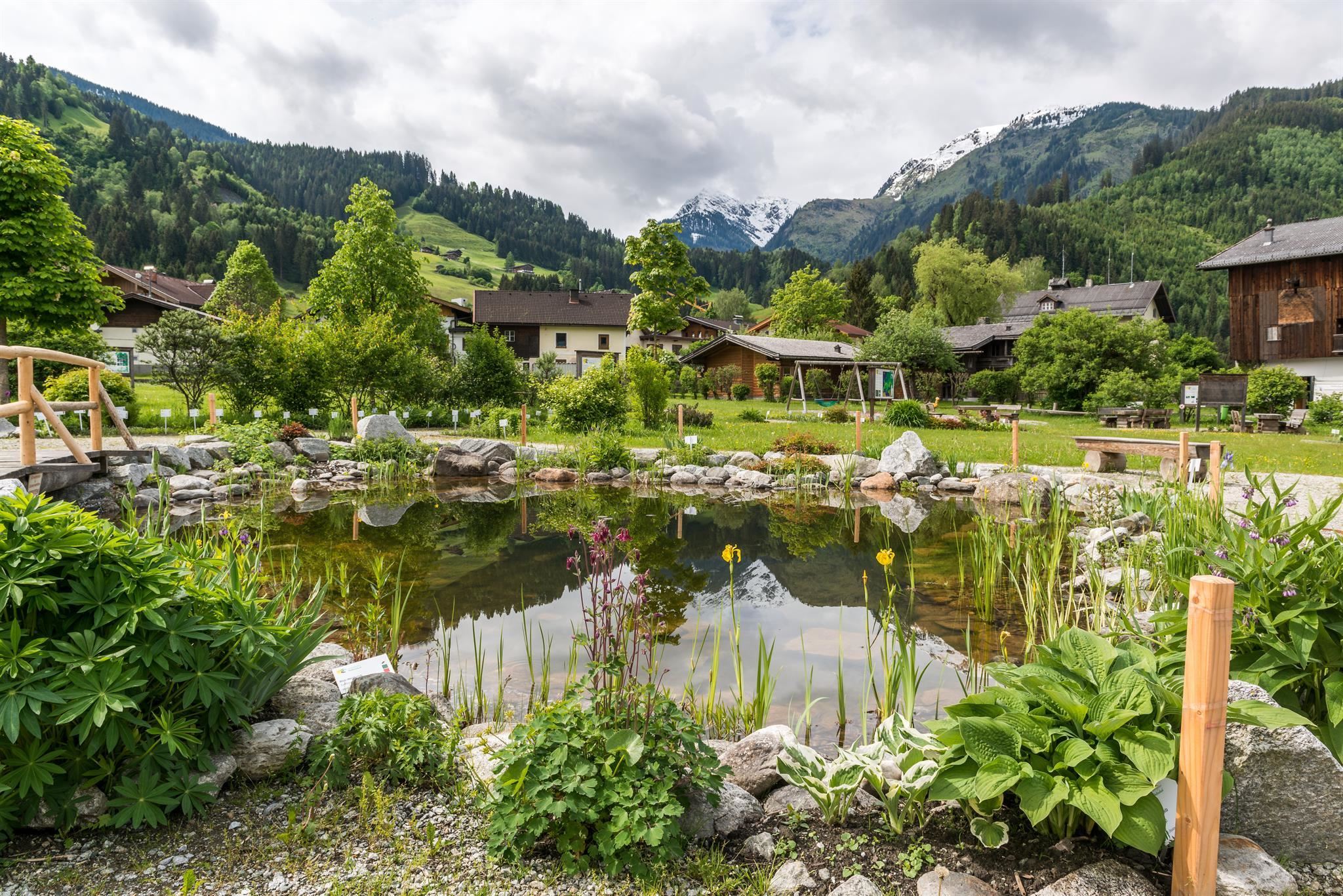
A herb garden and bee education trail at Hollersbach im Pinzgau, where labelled beds and hives introduce alpine herbs and beekeeping.
"Ökologischer Fußabdruck" & Ausstellung
An exhibition at Hollersbach im Pinzgau on the ecological footprint, run as part of the Hohe Tauern National Park programme.
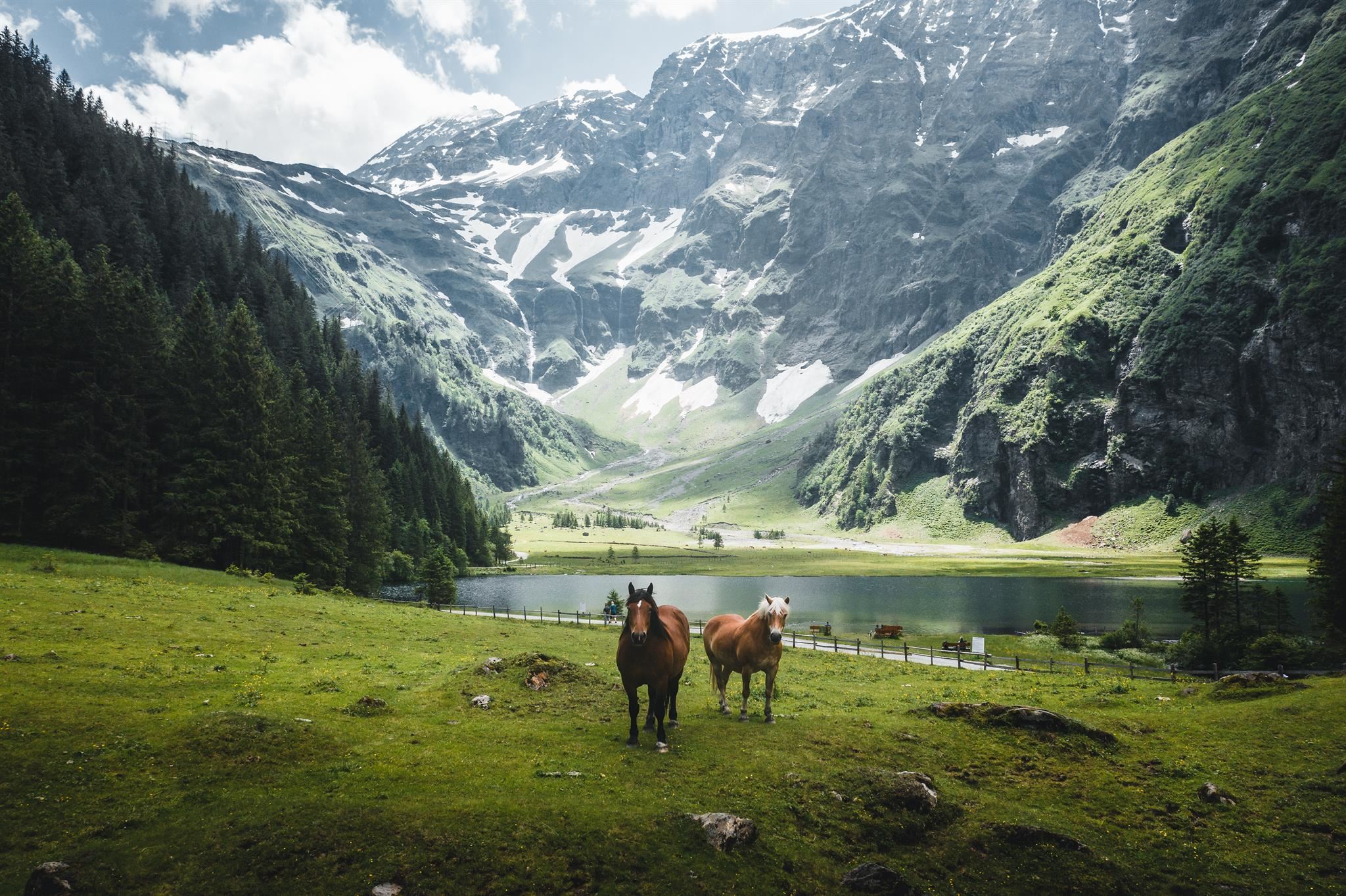
Winter adventure Hollersbachtal
The winter programme in the Hollersbachtal, the side valley running south from Hollersbach into the Hohe Tauern National Park.
Wintererlebnis Hollersbachtal
A winter offer in the Hollersbachtal above Hollersbach im Pinzgau, on the northern edge of the Hohe Tauern National Park.
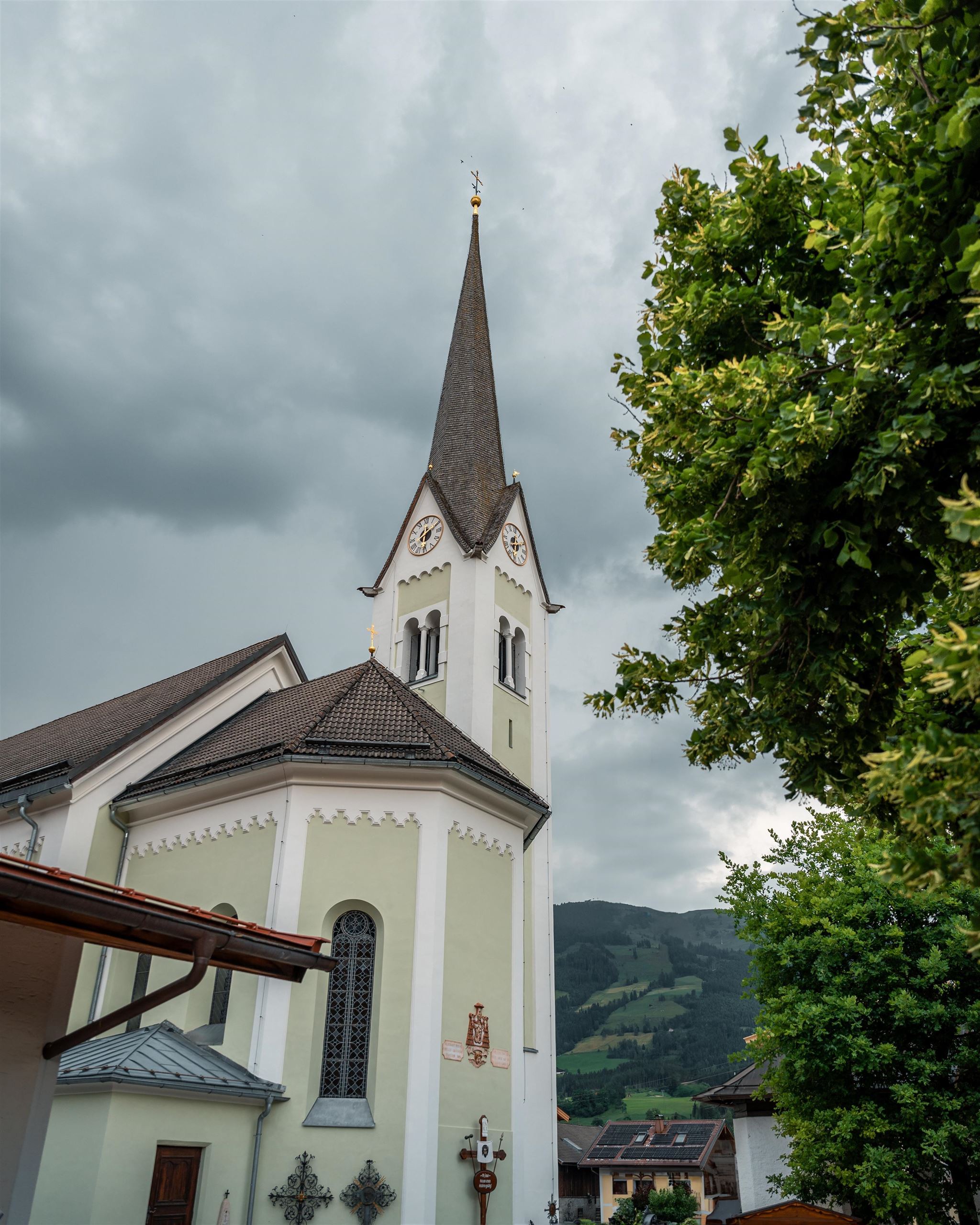
Pfarrkirche Hollersbach
The parish church of Hollersbach im Pinzgau, a historic building with Baroque character at the centre of the village.
Gondelfrühstück bei der Panoramabahn
Breakfast served in a gondola cabin at the Panoramabahn near Hollersbach, a small local ritual with views over the Salzach valley.
Meilingeralm - 1.300 m
4.7 km away, in Mittersill
An alm at 1,300 m in the Felber valley south of Mittersill, serving regional dishes on the walking routes toward the Hintersee.
Hintersee
5.1 km away, in Mittersill
A small mountain lake in the Felber valley south of Mittersill, lying in a nature reserve at the edge of the Hohe Tauern National Park.
Nothing of this kind in Hollersbach im Pinzgau.
Routes
Bramberg: Höhenwanderweg Breitmoos
Level two-kilometre traverse on the Mühlbacher Sonnberg, passing the Mooralm at around 1,200 m.
- 2.0 km
- Distance
- 20 m
- Ascent
- 30 min
- Duration
- 20
- Check-ins
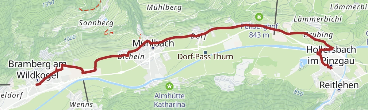
Hollersbach: Breitmoos- Runde Wegnr. 744
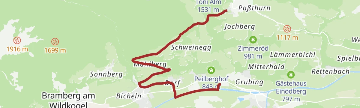
Ride the Panoramabahn to the Breitmoos mid-station, then walk downhill to Mühlbach and on to Hollersbach - 8.4 km with almost no ascent.
- 8.4 km
- Distance
- 10 m
- Ascent
- 2 h 23 min
- Duration
- 21
- Check-ins
Etappe 9: Alpina Antica Trail | ET9: Wildkogelbahn - Hollersbach
Two halves in one long day: an open grassy ridge traverse of the Wildkogel that stays above 1,750 m, then a sustained descent into the Salzach valley to finish at Hollersbach.
- 15.1 km
- Distance
- 262 m
- Ascent
- 5 h 28 min
- Duration
- 85
- Check-ins
Bramberg: 4C Pass Thurn
A short climb on forest roads out of Bramberg to the Mooralm at 1,225 m, beside the mid-station of the Panoramabahn Kitzbüheler Alpen.
- 5.7 km
- Distance
- 398 m
- Ascent
- 44 min
- Duration
- 20
- Check-ins
Mittersill: Resterhöhe Biketour
A long climb from Mittersill up to Pass Thurn and on to the Moseralm at 1,742 m below the Resterhöhe, past the Berghotel Holzer.
- 53.5 km
- Distance
- 1 617 m
- Ascent
- 6 h 16 min
- Duration
- 21
- Check-ins
Radtour von Zell am See - Krimml
A long valley ride up the Salzach from Zell am See through Mittersill and Wald to Krimml, at the head of the Oberpinzgau.
- 67.1 km
- Distance
- 741 m
- Ascent
- 6 h 39 min
- Duration
- 24
- Check-ins
 Bergschmied 817 m
 Tagesspeicher Krimmler Ache 1 048 m
- Tourismusinfo Mittersill-Hollersbach-Stuhlfelden 786 m
- Einödhof 768 m
- Rechenmacherhütte 826 m
- Tourismusverband Wald-Königsleiten 875 m
- +5
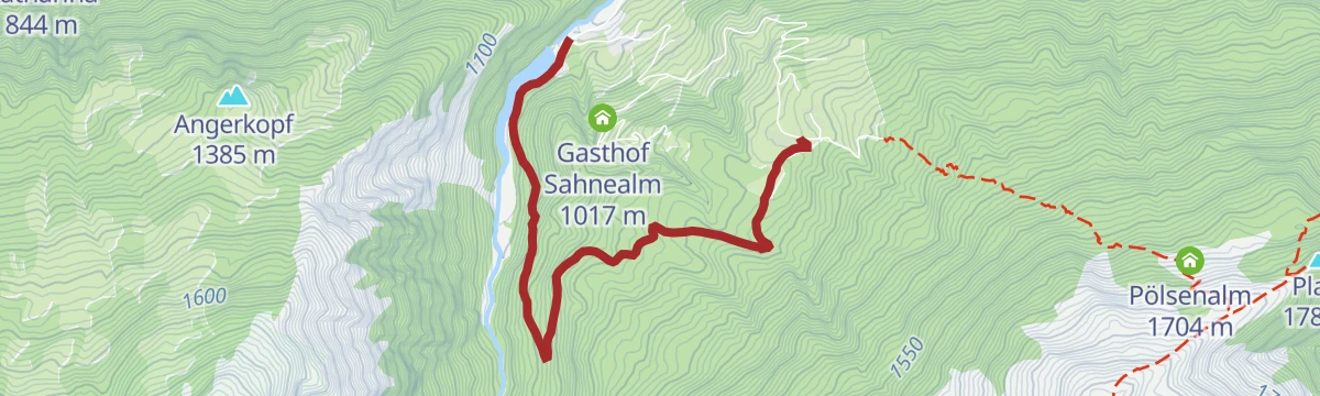
Über den Lachwald zur Sahnealm
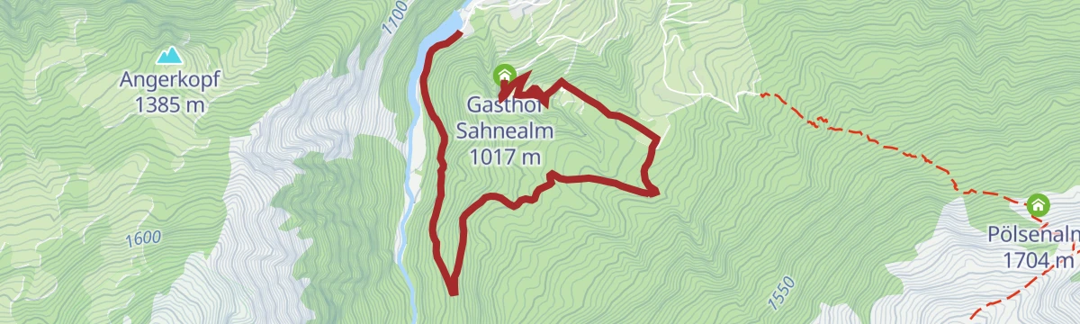
An easy round out of Hollersbach through the Lachwald to the Sahnealm, passing the Hollersbach reservoir and its Seestube.
- 5.1 km
- Distance
- 308 m
- Ascent
- 1 h 52 min
- Duration
- 3
- Check-ins
Hollersbach: Larmkogel Wegnr. 918
A three-thousander in the Hohe Tauern national park, reached from the Neue Fürther Hütte by way of the Larmkogelscharte.
- 6.9 km
- Distance
- 850 m
- Ascent
- 5 h 4 min
- Duration
- 18
- Check-ins
Hollersbach: Neue Fürther Hütte Wegnr. 916
A long approach up the Hollersbachtal past the Senninger Alm and Rossgrubalm to the Neue Fürther Hütte, 1,131 m of climbing into high alpine ground.
- 17.5 km
- Distance
- 1 111 m
- Ascent
- 7 h 34 min
- Duration
- 20
- Check-ins
Hollersbach: MTB-Tour zur Senninger Alm
A short forest-road climb out of the Hollersbachtal to the Senninger Alm, starting by the reservoir and its lakeside inn.
- 6.8 km
- Distance
- 346 m
- Ascent
- 50 min
- Duration
- 3
- Check-ins
Mittersill: Hörgeralm Biketour
A long climb north out of Mittersill to the Högeralm at 1,758 m, by way of the Mooralm and the Panoramabahn mid-station.
- 39.0 km
- Distance
- 1 102 m
- Ascent
- 4 h 30 min
- Duration
- 20
- Check-ins
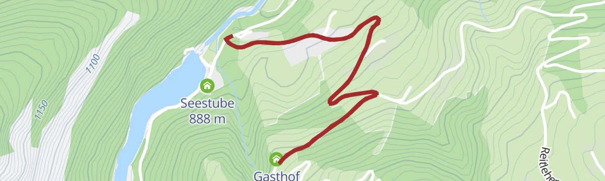
Hollersbach: Lachwald Wegnr. 22
A flat family walk through the upper Lachwald to the Hollersbach reservoir and its Seestube.
- 4.1 km
- Distance
- 20 m
- Ascent
- 1 h 18 min
- Duration
- 2
- Check-ins
Etappe 10: Alpina Antica Trail | ET10: Hollersbach - Mittersill
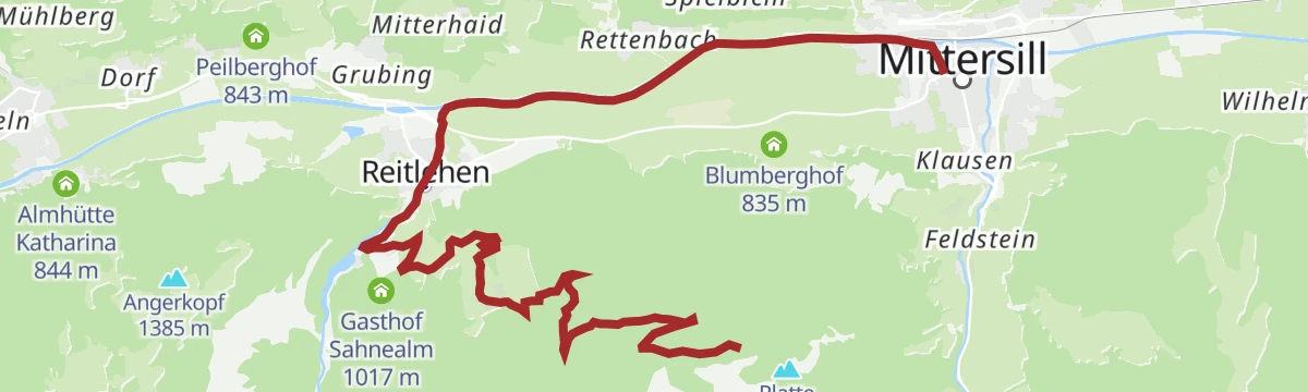
Stage 10 climbs from Hollersbach past mountain farms and a bee-keeping trail to the Pass Thurn, then drops through moorland and forest into Mittersill.
- 13.8 km
- Distance
- 486 m
- Ascent
- 4 h 27 min
- Duration
- 9
- Check-ins
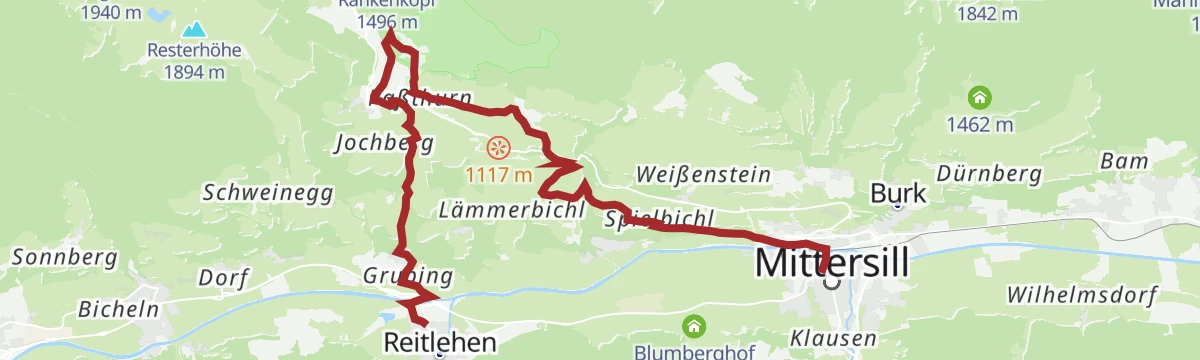
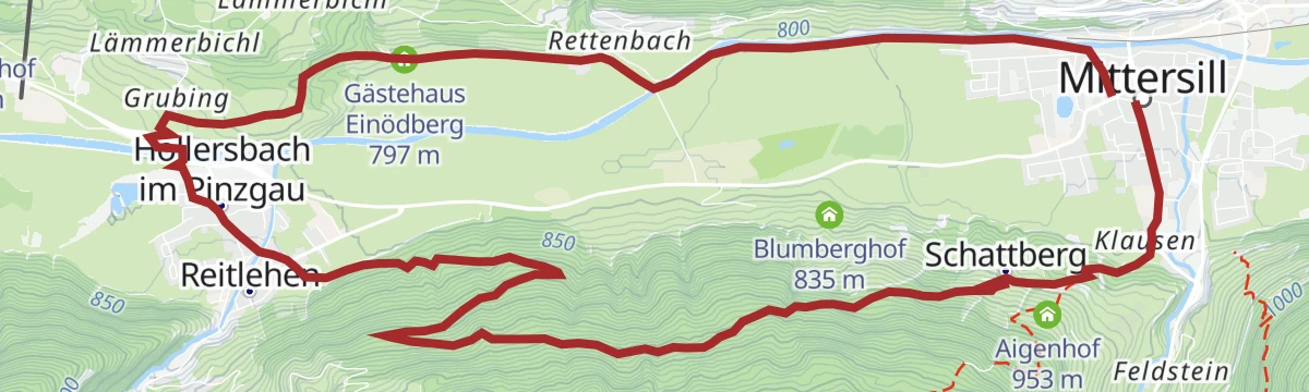
Mittersill: Hohe Tauern Rundweg
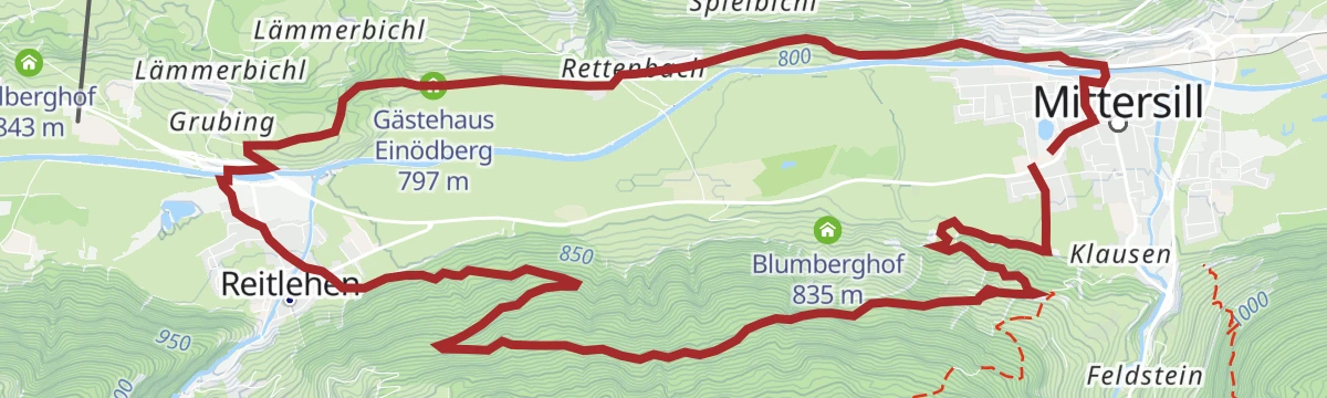
A 16 km circuit from Mittersill to Hollersbach and back along the sunny flank of the Kitzbüheler Alpen, with the Hohe Tauern opposite.
- 16.3 km
- Distance
- 456 m
- Ascent
- 4 h 56 min
- Duration
- 6
- Check-ins
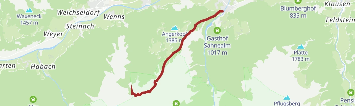
Hollersbach: Pölsneralm Biketour
A steep climb on forest roads from the valley floor at Hollersbach up to the alm, some 870 m of ascent in under 9 km.
- 8.9 km
- Distance
- 870 m
- Ascent
- 1 h 25 min
- Duration
- 1
- Check-ins
Hollersbach: Hollersbachtal Biketour
A forest-road climb up the Hollersbachtal, passing the Senninger Alm, Sauersteinalm and Rossgrubalm above the Alpengasthaus Edelweiß.
- 36.2 km
- Distance
- 920 m
- Ascent
- 4 h 4 min
- Duration
- 15
- Check-ins
Dorfrunde Hollersbach
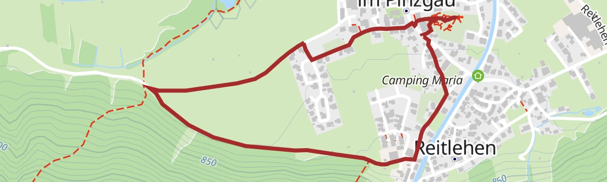
A flat 2.5 km loop through the village of Hollersbach, with next to no gradient.
- 2.5 km
- Distance
- 11 m
- Ascent
- 37 min
- Duration
- 1
- Check-ins
Hollersbach: Platte Wegnr. 935
A moderate climb by way of the Pölsenalm to the Platte, the ridge standing directly south of Mittersill above the Salzach valley.
- 7.0 km
- Distance
- 656 m
- Ascent
- 4 h 5 min
- Duration
- 4
- Check-ins
Hollersbach: Lachalm Höhenweg Wegnr. 20
A 15 km high route across alm pasture past the Senninger Alm and down into the Hollersbachtal to the reservoir.
- 15.5 km
- Distance
- 691 m
- Ascent
- 5 h 50 min
- Duration
- 3
- Check-ins
Mittersill: Pölsneralm Biketour
A steep forest-road climb from the valley floor at Mittersill up to the Pölsneralm, nearly 900 m of ascent in under 14 km.
- 13.9 km
- Distance
- 889 m
- Ascent
- 1 h 46 min
- Duration
Mittersill: Rossalm Biketour
A longer forest-road tour from the Salzach valley near Mittersill, running past the Hollersbach reservoir on the way to the alm.
- 22.0 km
- Distance
- 1 019 m
- Ascent
- 2 h 55 min
- Duration
- 3
- Check-ins
Hollersbach: Schattberg Wanderung Wegnr. 14
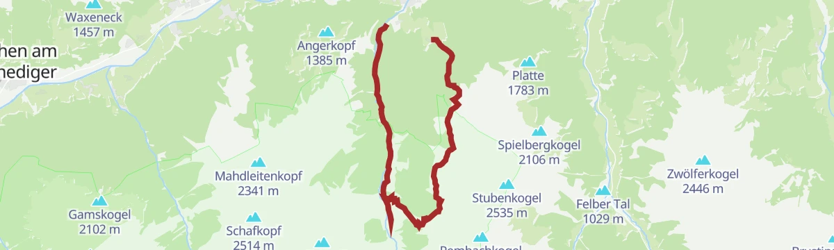
A short walk from the mouth of the Hollersbachtal over the Schattberg to the Sahnealm, facing the Kitzbüheler Alpen across the Salzachtal.
- 2.9 km
- Distance
- 149 m
- Ascent
- 1 h 4 min
- Duration
- 1
- Check-ins
Hollersbach: Deutingerwald Wegnr. 12
A moderate 11.7 km circuit through the Deutingerwald at the entrance to the Hollersbachtal.
- 11.7 km
- Distance
- 500 m
- Ascent
- 3 h 59 min
- Duration
- 1
- Check-ins
Hollersbach: Elferkogel Wegnr. 933
A demanding ascent straight out of Hollersbach onto the Elferkogel, with more than 1,300 m of climbing.
- 12.6 km
- Distance
- 1 378 m
- Ascent
- 8 h 20 min
- Duration
Hollersbach: Lachwald Biketour
A short forest circuit through the Lachwald above Mittersill, starting near the station and climbing to the Gästehaus Einödberg.
- 15.1 km
- Distance
- 402 m
- Ascent
- 1 h 43 min
- Duration
- 2
- Check-ins
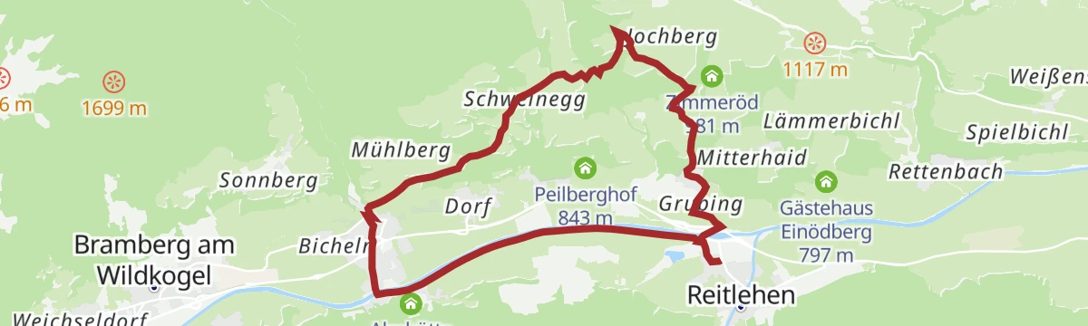
Bramberg: Dorfer Trattn Rundweg
Easy round from Mühlbach im Pinzgau on paths 57 and 21, staying between about 830 and 1,020 m.
- 6.5 km
- Distance
- 225 m
- Ascent
- 2 h 5 min
- Duration
Hollersbach: Mühlbachrunde Wegnr. 17, 57
From the centre of Hollersbach over the Sonnberg to Mühlbach, returning along the embankment of the Salzach.
- 11.6 km
- Distance
- 292 m
- Ascent
- 3 h 26 min
- Duration
- 1
- Check-ins
Hohe Tauern Panorama Trail Etappe 5: Alternativroute
Low-level substitute for the fifth stage of the Hohe Tauern Panorama Trail, 7.3 km with almost no climbing, for poor weather or tired legs.
- 7.3 km
- Distance
- 40 m
- Ascent
- 1 h 49 min
- Duration
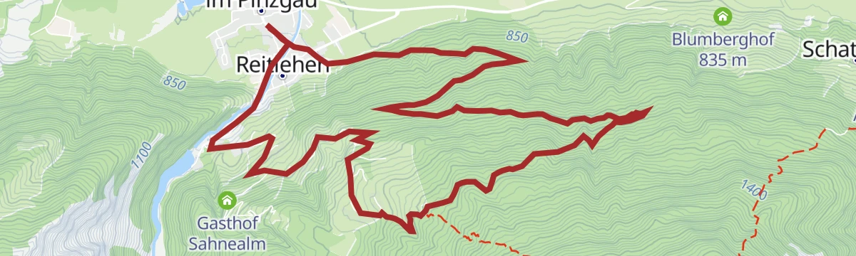
Hollersbach: Sonnberghofrunde Wegnr. 15
A 7.6 km round along the Hollersbach Sonnberg, with barely 120 m of climbing and open views across the valley.
- 7.6 km
- Distance
- 126 m
- Ascent
- 2 h 5 min
- Duration
No routes of this kind in Hollersbach im Pinzgau yet.
The region's own picks
Featured route
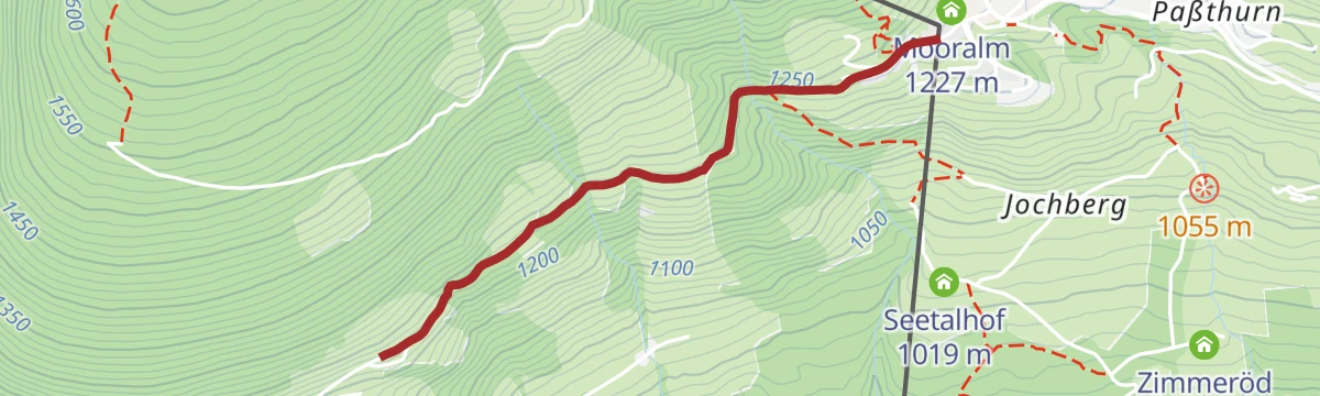
Bramberg: Höhenwanderweg Breitmoos
Level two-kilometre traverse on the Mühlbacher Sonnberg, passing the Mooralm at around 1,200 m.
Planning a trip to Hollersbach im Pinzgau?
Everything else Salzburg (state) has, in one place


Take Hollersbach im Pinzgau with you into the mountains
Every route on this page with 3D terrain, GPX navigation and offline maps — including the valleys with no signal.
Data sources
- Official website: mittersill.info ↗
- Routes and highlights: Nationalparkregion Mittersill, Nationalpark, Wildkogel-Arena, Wilder Kaiser Tourismus, Zell am See-Kaprun Tourismus
- Published as open data by the tourist boards named above.
- Region summary generated from the board's own material.
