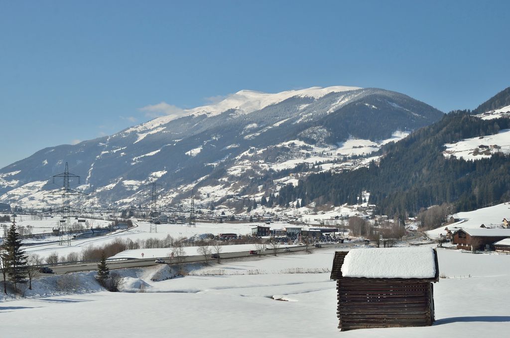
The Wildkogel is a 2,224-metre (7,297 ft) high grass mountain in the Kitzbühel Alps in Oberpinzgau in Salzburg. It lies north of the Salzach river valley and the nearby towns of Neukirchen and Bramberg.
At 2,005 metres (6,578 ft) high, the Wildkogelhaus (built in 1898) can host up to 100 guests (with restaurants, sauna and disco). Here begins a 14-kilometre (8.7 mi) long toboggan run.
During the winter, there is a large ski area with 55 kilometres (34 mi) of groomed ski trails, 45% blue, 40% red and 15% black. The highest lift takes passengers to 2,150 metres (7,050 ft). There is a 6-seater cable car with a stopover, a six-chairlift, two four-chair lifts, one double chairlift, five lift-e and four T-bar lifts. Descents are possible into the towns of Neukirchen (1,300 m or 4,300 ft, length 5 km or 3.1 mi) and Bramberg (length 14 km or 8.7 mi).
On the mountain, at 200 kilometres (120 mi) is the longest trail ("Pinzga") to be found in the Salzburg state.
In the summer season, there are many hiking possibilities (altitude hiking). The Wildkogel offers cycling for mountain bikes ( "Bike-Arena"), and also the participants of the yearly held Transalp have to cross. The mountain is also a popular starting point for cross-country flights with the paraglider, as the Pinzgau is thermally very reliable.
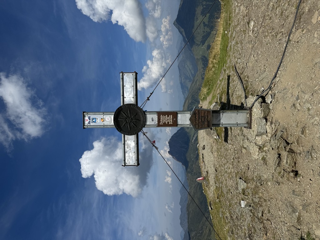
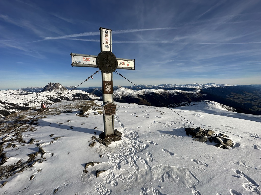
There's a trail leading to the summit.
The nearest mountain hut is Wildkogel Haus located 685m/2 246ft SSW of the summit.
By elevation Wildkogel is
# 67 out of 463 in the Kitzbühel Alps
By prominence Wildkogel is
# 85 out of 1291 in Zell am See # 52 out of 691 in the Tyrol Schistose Alps # 39 out of 463 in the Kitzbühel Alps
We use GPS information embedded into the photo when it is available.
3D mountains overlay
Adjust mountain panorama to perfectly match your photos because recorded by camera photo position might be imprecise.
Move tool
Rotate tool
Zoom
More customization
Choose which peak labels should make into the final photo and what photo title should be.
Next
Photo Location
Satellitte
Flat map
Relief map
Latitude
Longitude
Altitude
OR
Latitude
°'''
Longitude
°'''
Apply
Register Peak
Peak Name
Latitude
Longitude
Altitude
Register
Teleport
PeakVisor
This 3D model of Sagarmatha National Park in Nepal was made using the PeakVisor app topographic data. The mobile app features higher precision models worldwide, more topographic details, and works offline. Download PeakVisor maps today.
Download OBJ model
PeakVisor
The download should start shortly. If you find it useful please consider supporting the PeakVisor app.
PeakVisor for iOS and Android
Be a superhero of outdoor navigation with state-of-the-art 3D maps and mountain identification in the palm of your hand!