
 Historic site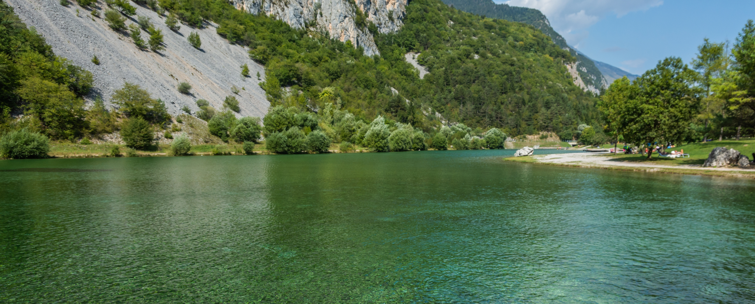





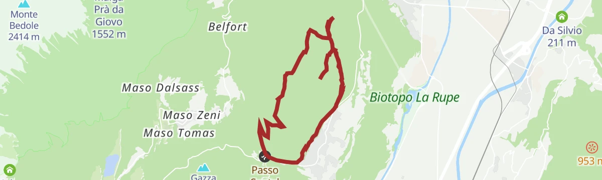
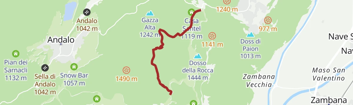
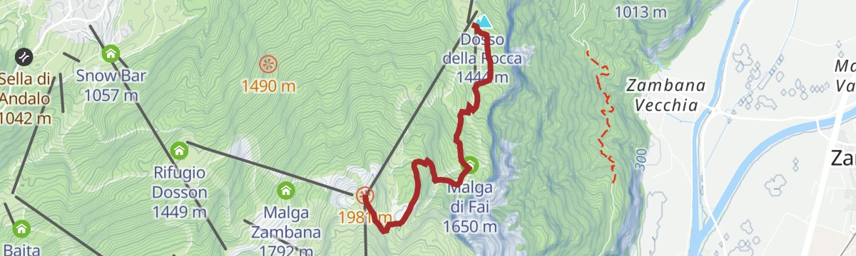
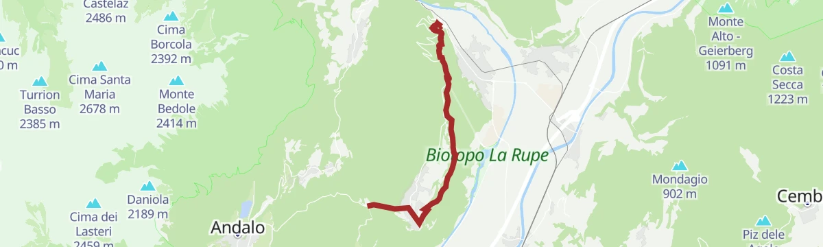






Curated by APT Dolomiti di Brenta e Paganella
Fai della Paganella
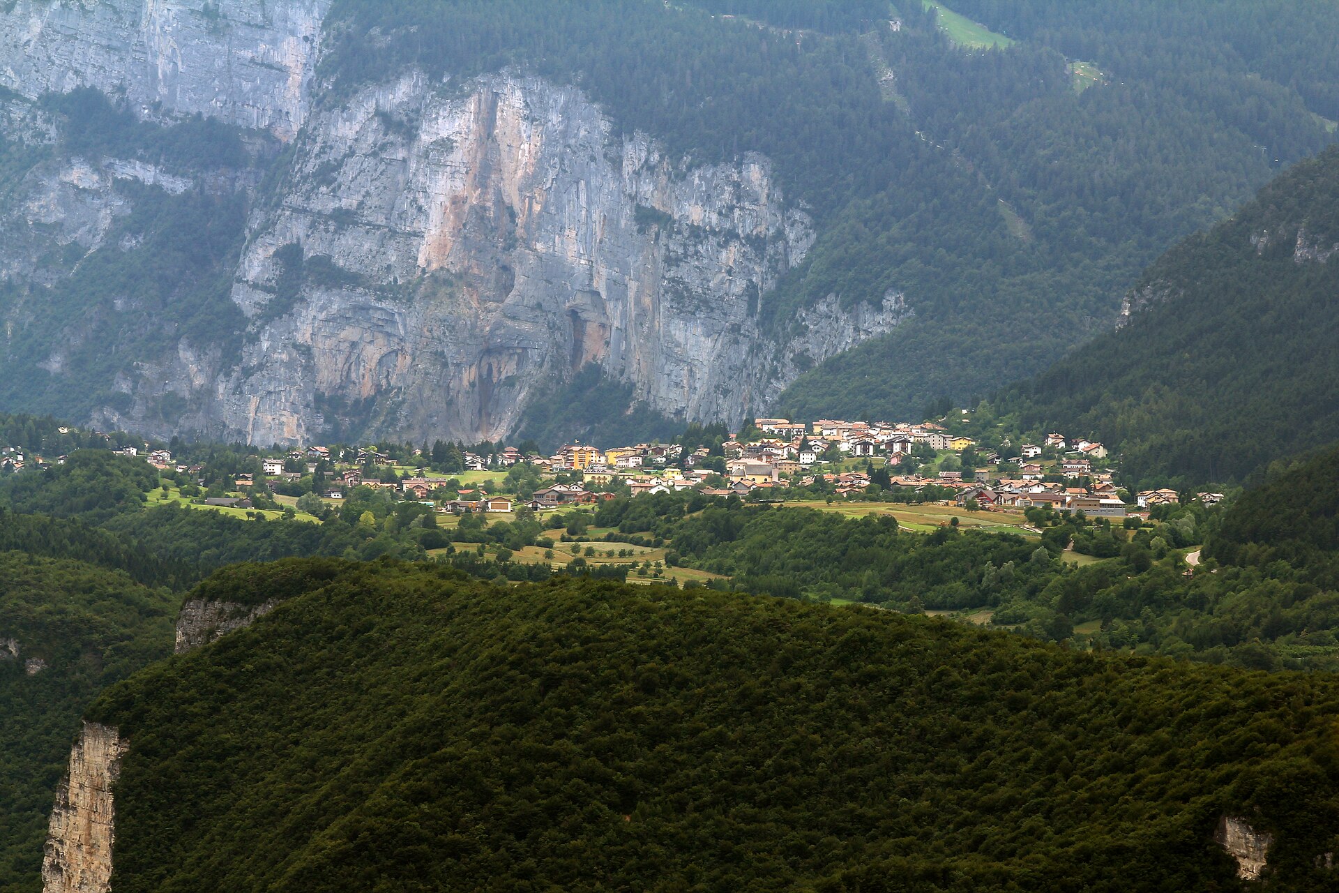
Village on the shelf below the Paganella, looking across the Adige to the Brenta group.
- 4Highlights
- 53Routes
- Featured summit · Paganella
Highlights
All 4 from neighbouring places
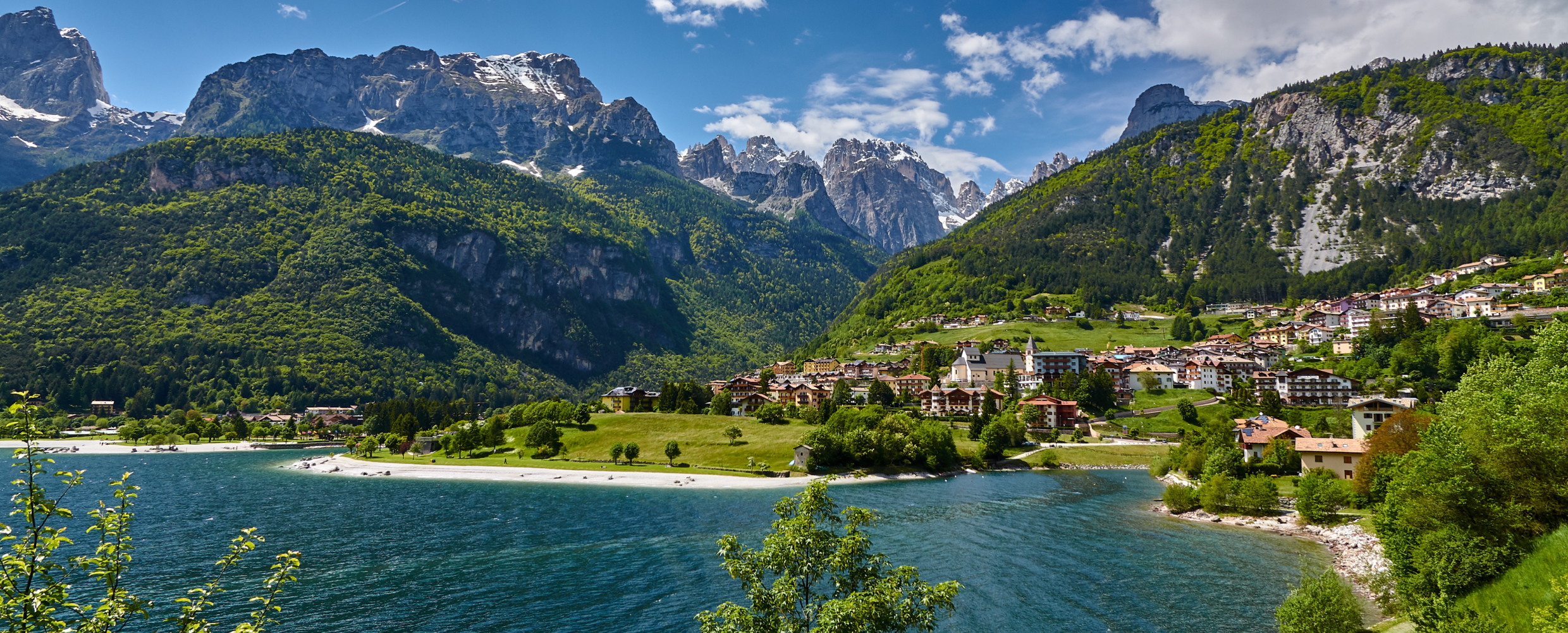
Lago di Molveno
9.9 km away, in Molveno
A lake at 864 m below the Brenta Dolomites, its water among the clearest in the Alps.
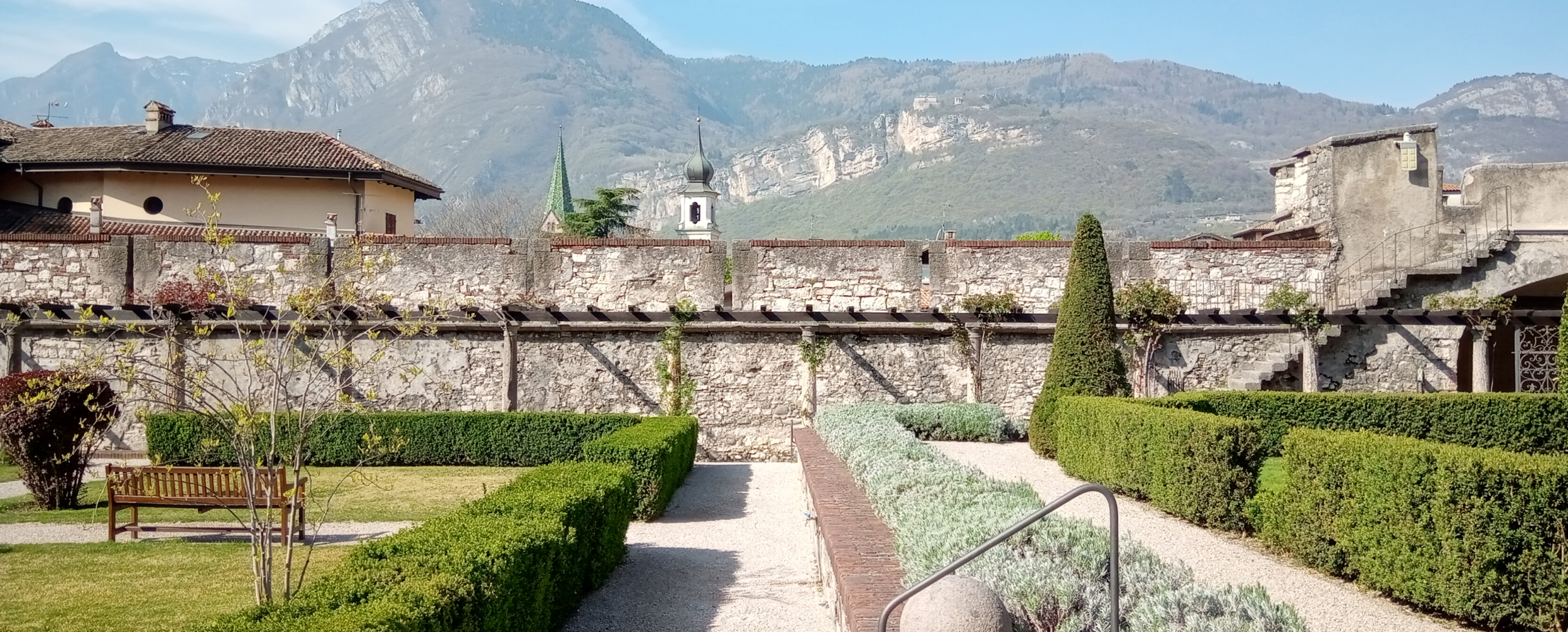
Castello del Buonconsiglio
12.3 km away, in Trento
The residence of Trento's prince-bishops for four centuries, with the Torre Aquila and its Cycle of the Months.
Lago di Nembia
13.1 km away, in San Lorenzo Dorsino
A small lake in the Sarca gorges near San Lorenzo Dorsino, on the edge of the Adamello-Brenta park.
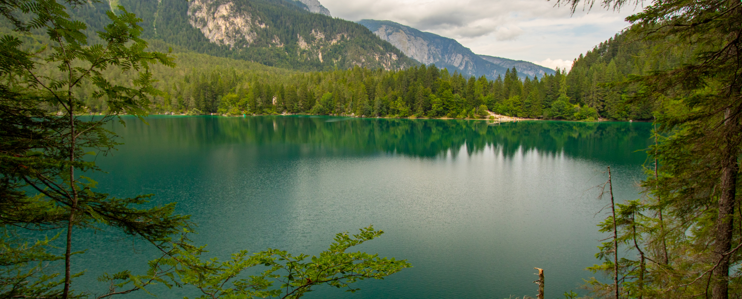
Lago di Tovel
13.1 km away, in Ville d'Anaunia
A lake at 1,178 m below the Brenta Dolomites, once famous for the red algal bloom that coloured its water.
Nothing of this kind in Fai della Paganella.
Routes
50 routes, an even mix of activities · see the rest on visittrentino.info ↗
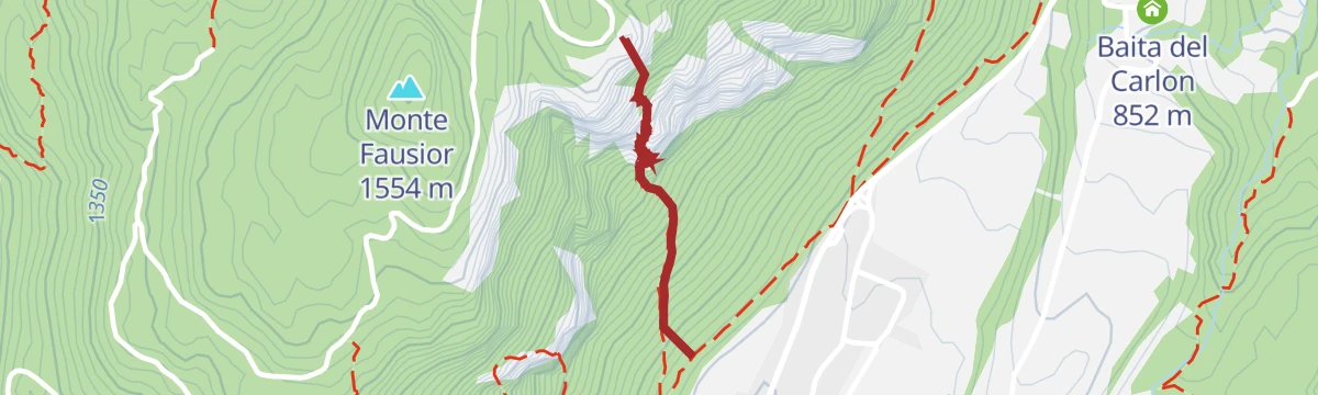
Ferrata delle Aquile
A short and straightforward via ferrata on the Paganella, ending by the old cable-car station near the top of La Roda.
- 1.5 km
- Distance
- 86 m
- Ascent
- 1 h 13 min
- Duration
- 10
- Check-ins
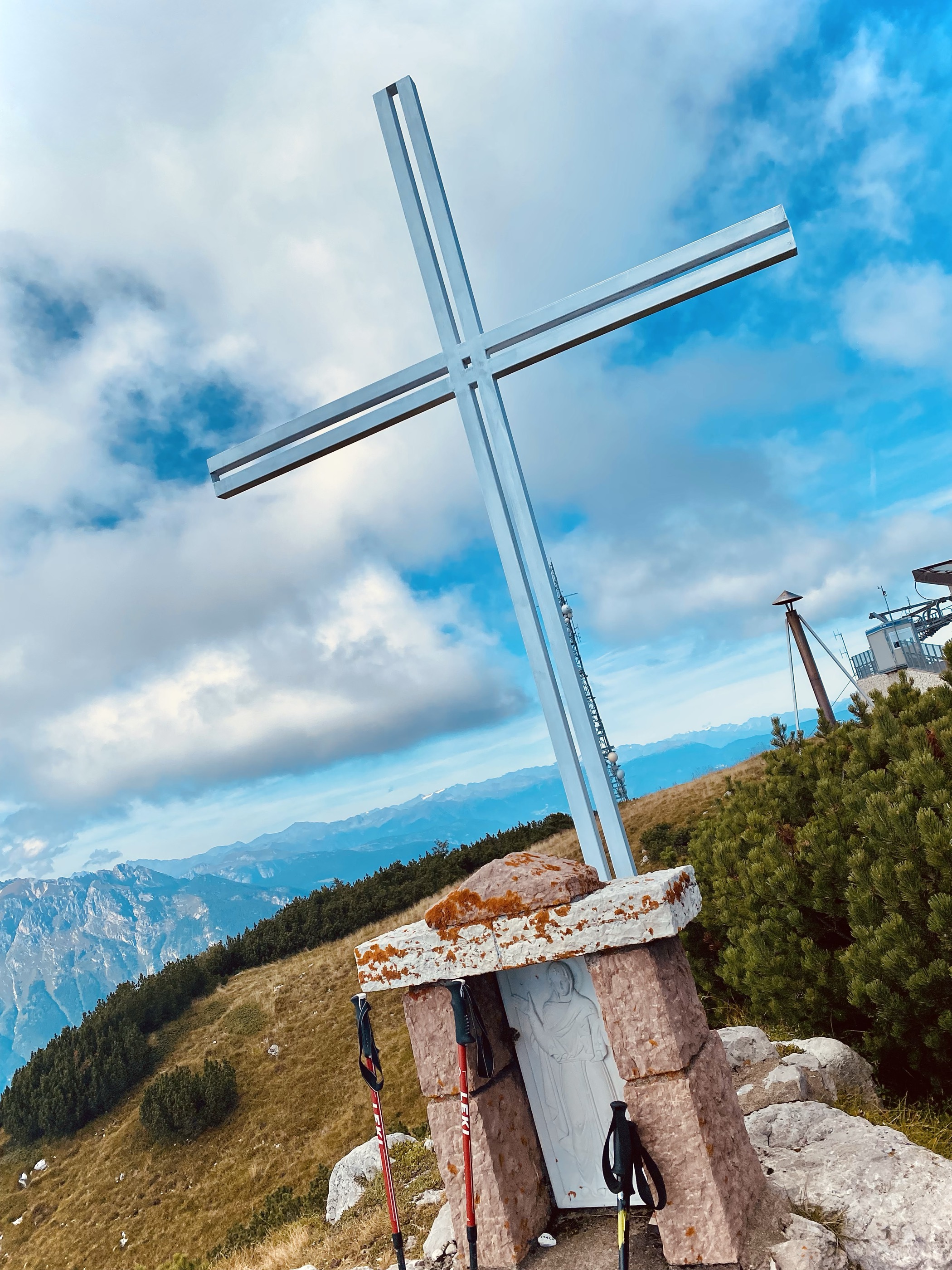
Open route APT Dolomiti di Brenta e PaganellaFerrata Croce di Fai
A via ferrata on the west face of the Paganella, climbing from Fai to the Croce di Fai above the Adige valley.
- 778 m
- Distance
- 512 m
- Ascent
- 1 h 59 min
- Duration
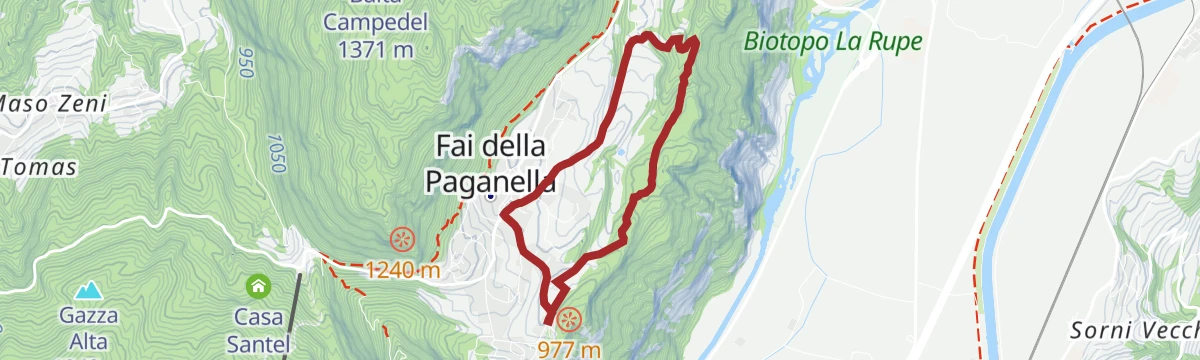
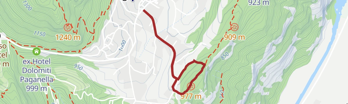
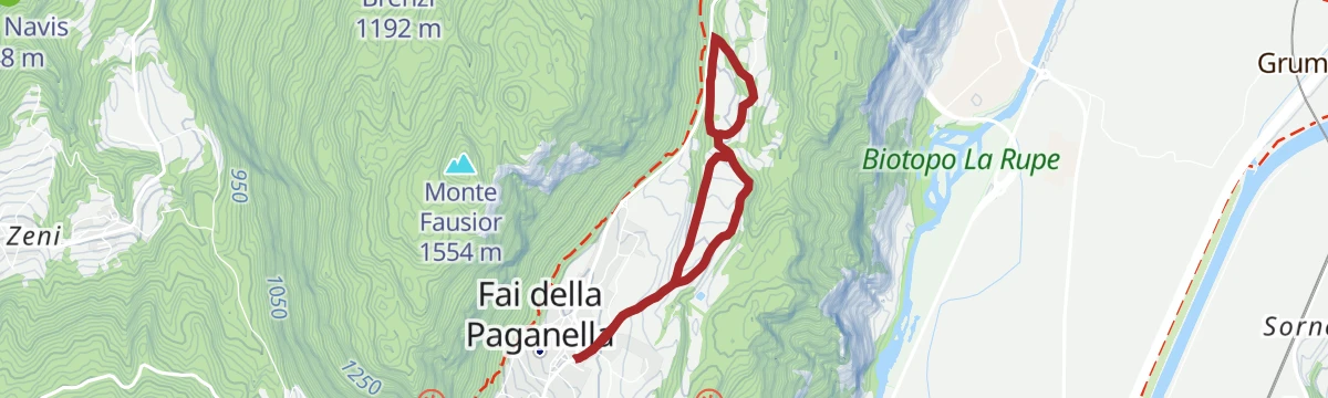
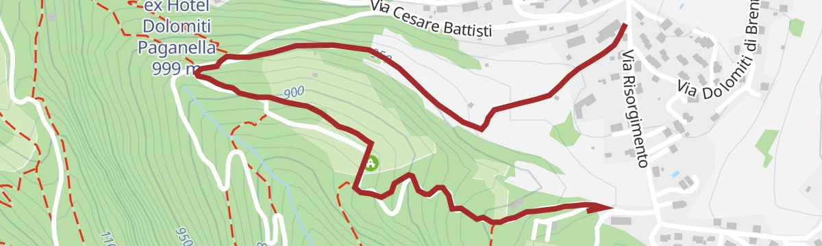
Open route APT Dolomiti di Brenta e PaganellaSentiero Botanico - Botanical Path
A short botanical path on the slopes above Fai della Paganella, labelled with the trees and flowers of the limestone.
- 2.6 km
- Distance
- 254 m
- Ascent
- 1 h 34 min
- Duration
- 100
- Check-ins
Open route APT Dolomiti di Brenta e PaganellaExcursion to Cima Canfedin
A walk along the Paganella ridge to Cima Canfedin, on open pasture above Fai della Paganella.
- 12.4 km
- Distance
- 300 m
- Ascent
- 3 h 57 min
- Duration
- 126
- Check-ins
 Paganella 2 125 m
 Rifugio La Roda 2 120 m
- Osservatorio meteorologico di monte Paganella 2 125 m
 Passo di S. Antonio 1 931 m
- Chalet Paganella 2 1 752 m
- Passo di San Giacomo 1 961 m
- +4
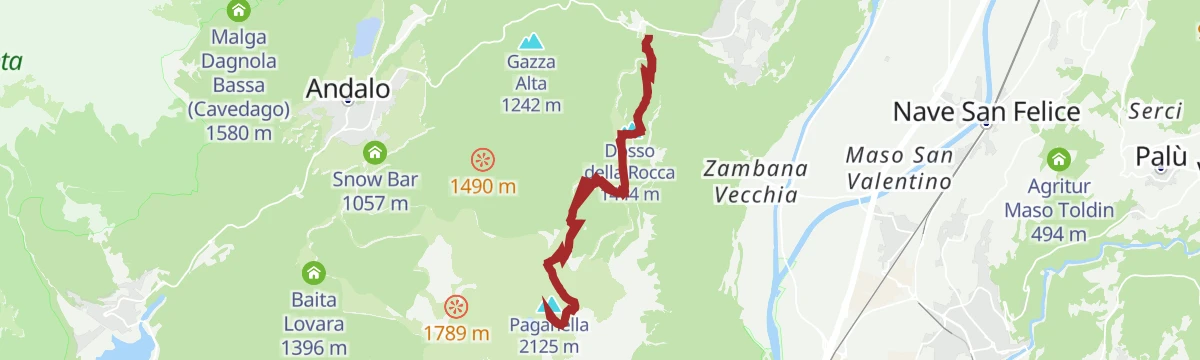
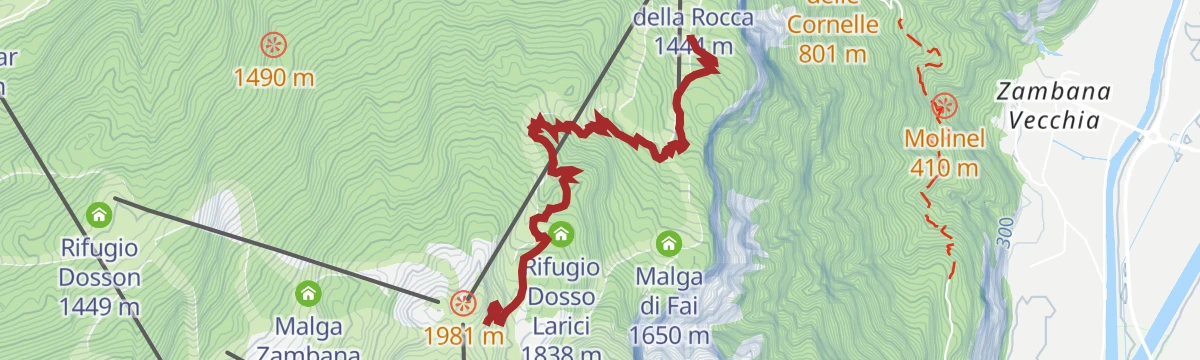
Open route APT Dolomiti di Brenta e PaganellaTrekking to Cima Paganella
A full climb from Fai della Paganella to the summit of the Paganella, with the Adige valley on one side and the Brenta opposite.
- 12.8 km
- Distance
- 1 081 m
- Ascent
- 6 h 53 min
- Duration
- 131
- Check-ins
- Paganella 2 125 m
- Dosso della Rocca 1 444 m
- Rifugio La Roda 2 120 m
- Osservatorio meteorologico di monte Paganella 2 125 m
- Rifugio Meriz 1 425 m
- Rifugio Dosso Larici 1 838 m
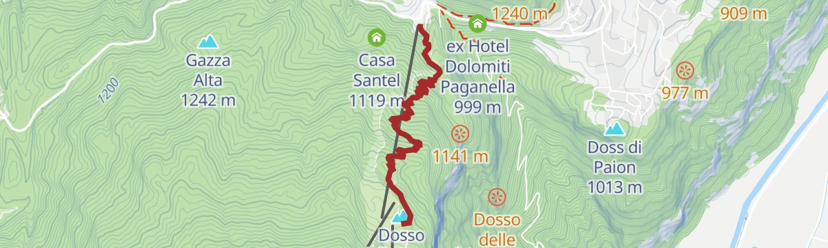
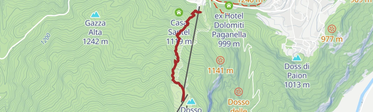
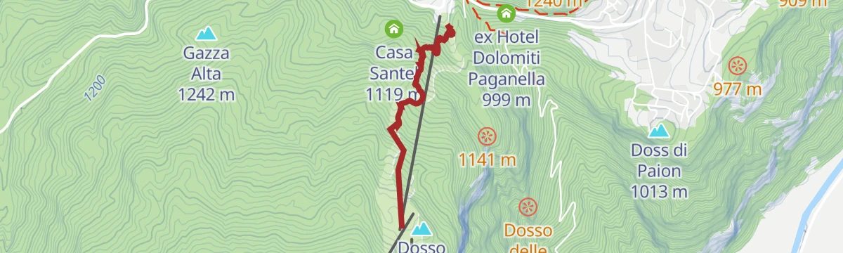
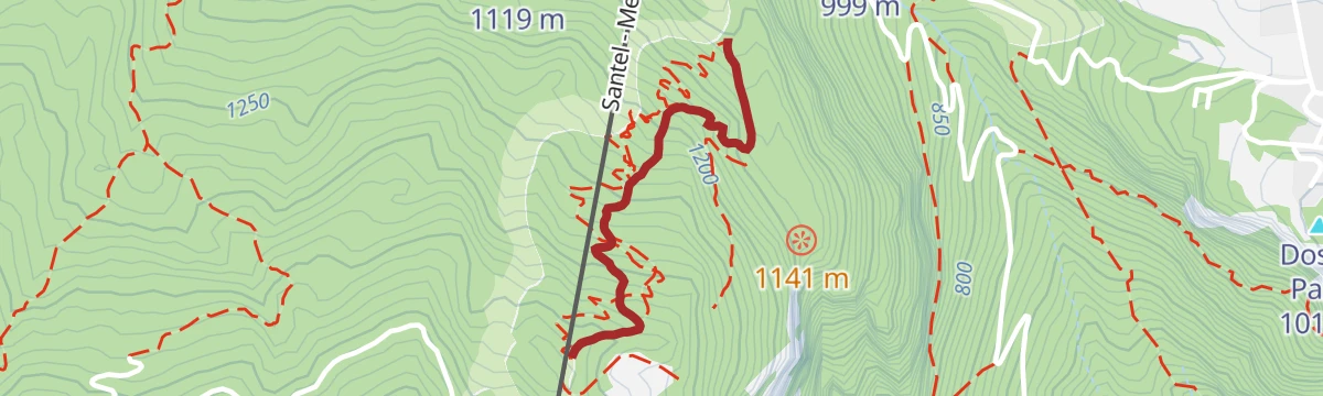
Open route APT Dolomiti di Brenta e PaganellaSantel - Dosso Larici
A ski tour up the pistes of the Paganella from Santel to the Dosso Larici hut.
- 3.3 km
- Distance
- 777 m
- Ascent
- 0 m
- Descent
- 2 h 4 min
- Duration
- 17
- Check-ins
Open route APT Dolomiti di Brenta e PaganellaInterstellar by Endura
A short bike line opened in 2024 in the Andalo and Paganella area above Fai della Paganella.
- 822 m
- Distance
- 0 m
- Ascent
- 8 min
- Duration
- 100
- Check-ins
Open route APT Dolomiti di Brenta e Paganella790 "Tour Dosson / Meriz"
A cross-country bike round in the woods of the Paganella, hard on the concrete ramp at the start and shaded for the rest of the way.
- 11.2 km
- Distance
- 534 m
- Ascent
- 1 h 30 min
- Duration
- 50
- Check-ins
- Dosso della Rocca 1 444 m
- Rifugio Meriz 1 425 m
- Tre3 1 037 m
- Albergo El Paso 1 036 m
- Passo Santel 1 040 m
Open route APT Dolomiti di Brenta e PaganellaBear Trails -Ultimate Enduro Experience-
A lift-assisted enduro day on the Paganella, stringing five descents together between Rifugio La Roda and the trails above Molveno.
- 61.2 km
- Distance
- 4 292 m
- Ascent
- 10 h 49 min
- Duration
- 311
- Check-ins
- Paganella 2 125 m
- Rifugio La Roda 2 120 m
- Rifugio La Montanara 1 575 m
- Albergo Ristorante Del Brenta 1 362 m
- Osservatorio meteorologico di monte Paganella 2 125 m
- Rifugio Pradel 1 364 m
- +19
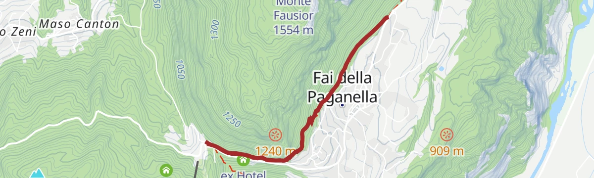
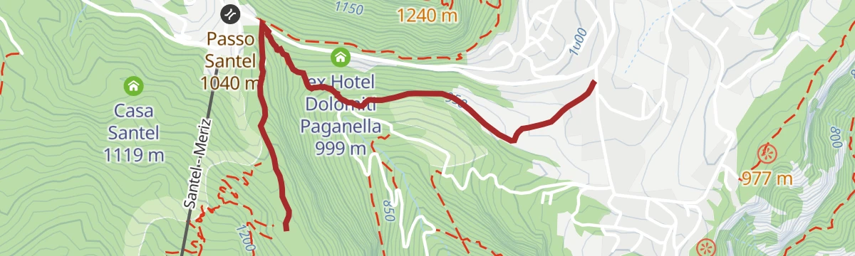
Open route APT Dolomiti di Brenta e PaganellaFai della Paganella
The climb from the Adige floor up to Fai della Paganella, 885 m of gain by way of the Passo Santel.
- 11.6 km
- Distance
- 866 m
- Ascent
- 1 h 37 min
- Duration
- 33
- Check-ins
- Albergo El Paso 1 036 m
- Passo Santel 1 040 m
- Maso Cervara 245 m
- Albergo Miravalle 987 m
- ex Hotel Dolomiti Paganella 999 m
- Bait dei Canai 508 m
Open route VisitTrentinoThe stage of 2022 Giro d'Italia Women.
A race-length road route from the Rotaliana plain to San Lorenzo Dorsino, with three long climbs by way of Andalo, Molveno and Passo Santel.
- 113.6 km
- Distance
- 3 474 m
- Ascent
- 13 h 10 min
- Duration
- 137
- Check-ins
- Fontanella 845 m
- Lago Park Hotel 826 m
- Grand Hotel Molveno 838 m
- Tre3 1 037 m
- Albergo El Paso 1 036 m
- Passo Santel 1 040 m
- +20
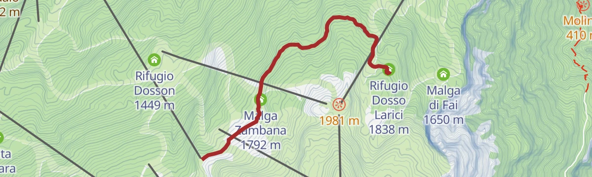
Open route APT Dolomiti di Brenta e PaganellaWalk from Doss Pelà to Rifugio Dosso Larici
An easy walk on the Paganella plateau linking two dairy huts, Malga Zambana and Albi de Mez, with a refuge at the far end.
- 3.0 km
- Distance
- 82 m
- Ascent
- 50 min
- Duration
- 34
- Check-ins
Open route APT Dolomiti di Brenta e PaganellaLaston and Mozzane Alte (SAT 603-603A-603)
A circuit on SAT path 603 above Fai della Paganella, crossing the Laston slabs and the high meadows of Mozzane Alte.
- 6.6 km
- Distance
- 458 m
- Ascent
- 3 h 3 min
- Duration
- 20
- Check-ins
- Albergo El Paso 1 036 m
- Passo Santel 1 040 m
- Baita Campedel 1 371 m
- Baita Campedel - SAT Mezzolombardo 1 367 m
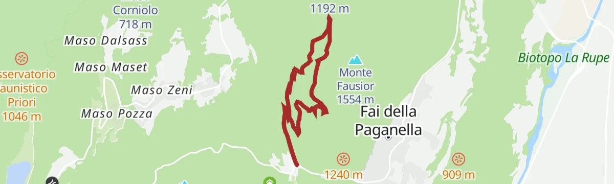
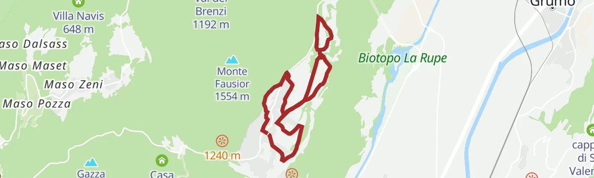
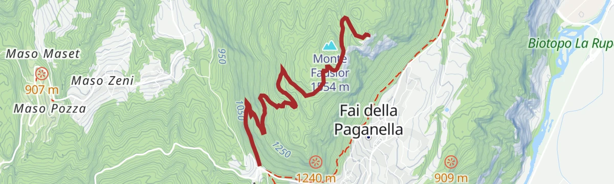
Open route APT Dolomiti di Brenta e PaganellaThe Fausior and Croce di Mezzolombardo Circuit
A circuit on SAT path O603 from Fontana Bianca in Fai, climbing the steep Scalace round Monte Fausior and returning on the Ardito path above the village.
- 14.0 km
- Distance
- 1 149 m
- Ascent
- 6 h 21 min
- Duration
- 27
- Check-ins
- Dosso della Tia 1 354 m
- Albergo El Paso 1 036 m
- Passo Santel 1 040 m
- Albergo Miravalle 987 m
- ex Hotel Dolomiti Paganella 999 m
- Baita Zorzi 1 256 m
- +2
Open route APT Dolomiti di Brenta e PaganellaTre Tre - snowshoe and ski mountaineering trail
A snowshoe and ski-touring line up the Tre Tre slope from Fai della Paganella to the ridge above.
- 4.1 km
- Distance
- 819 m
- Ascent
- 67 m
- Descent
- 2 h 17 min
- Duration
- 9
- Check-ins
Open route APT Dolomiti di Brenta e Paganella808 "Bus del Giaz"
A technical enduro descent on the Paganella from Selletta by Dosso Larici and Malga Fai down to Meriz, for experienced riders only.
- 3.6 km
- Distance
- 0 m
- Ascent
- 33 min
- Duration
- 39
- Check-ins
Open route APT Dolomiti di Brenta e Paganella810 "Giuel Trail"
An enduro descent from Fai della Paganella to Mezzolombardo, mixing flowing and technical ground with several climbs, for experienced riders.
- 9.7 km
- Distance
- 178 m
- Ascent
- 1 h 19 min
- Duration
- 35
- Check-ins
- Doss Castel 923 m
- Tre3 1 037 m
- Albergo El Paso 1 036 m
- Passo Santel 1 040 m
- Albergo Miravalle 987 m
- ex Hotel Dolomiti Paganella 999 m
Open route APT Dolomiti di Brenta e PaganellaShort tour of the Paganella Plateau
A rolling road tour of the Paganella plateau, over the Passo Santel and the Sella di Andalo and through four of its villages.
- 24.5 km
- Distance
- 591 m
- Ascent
- 2 h 44 min
- Duration
- 59
- Check-ins
- Tre3 1 037 m
- Albergo El Paso 1 036 m
- Passo Santel 1 040 m
- Sella di Andalo 1 042 m
- APT Dolomiti Paganella 1 021 m
- Agriturismo Ai Castioni 973 m
- +3
Open route APT Dolomiti di Brenta e PaganellaHandbike - Giro dell'Otto e Stalle
A short handbike loop on the plateau at Fai della Paganella, with a little over 200 m of climbing past the Baita del Carlon.
- 8.0 km
- Distance
- 190 m
- Ascent
- 54 min
- Duration
Open route APT Dolomiti di Brenta e PaganellaFrom the Plateau to the "Wine-road"
A long road tour down to the Adige and north along the South Tyrolean wine road as far as the Lago di Caldaro, returning over Passo Santel.
- 100.2 km
- Distance
- 1 290 m
- Ascent
- 10 h 6 min
- Duration
- 105
- Check-ins
- Tre3 1 037 m
- Albergo El Paso 1 036 m
- Passo Santel 1 040 m
- La Rocchetta 2019 270 m
- Maso Cervara 245 m
- APT Dolomiti Paganella 1 021 m
- +14
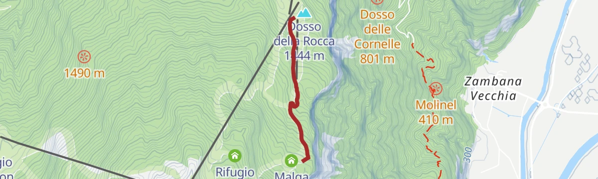
Open route APT Dolomiti di Brenta e PaganellaWalk from Meriz to Malga Fai
A short climb from Meriz through the woods to Malga Fai, on the slopes of the Paganella above the village.
- 1.5 km
- Distance
- 224 m
- Ascent
- 52 min
- Duration
- 31
- Check-ins
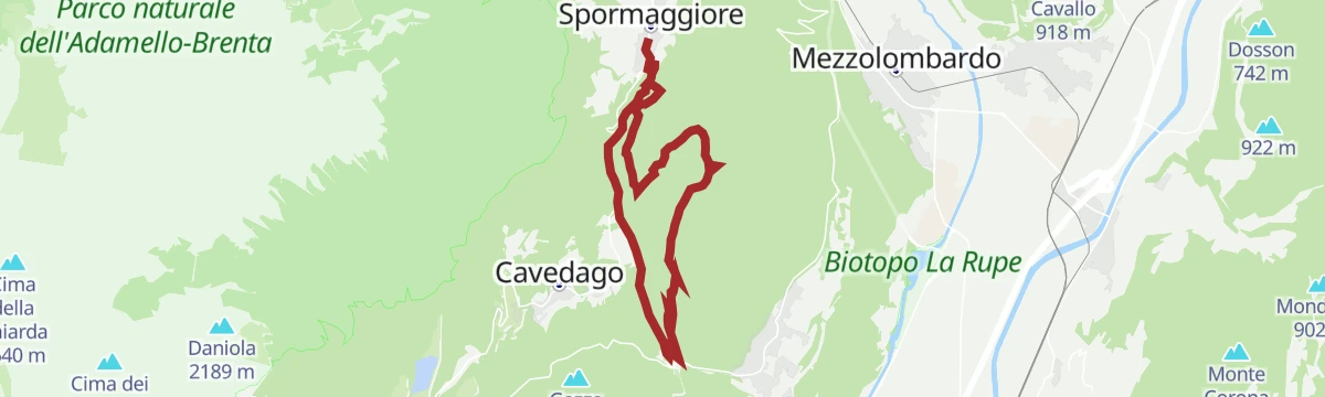
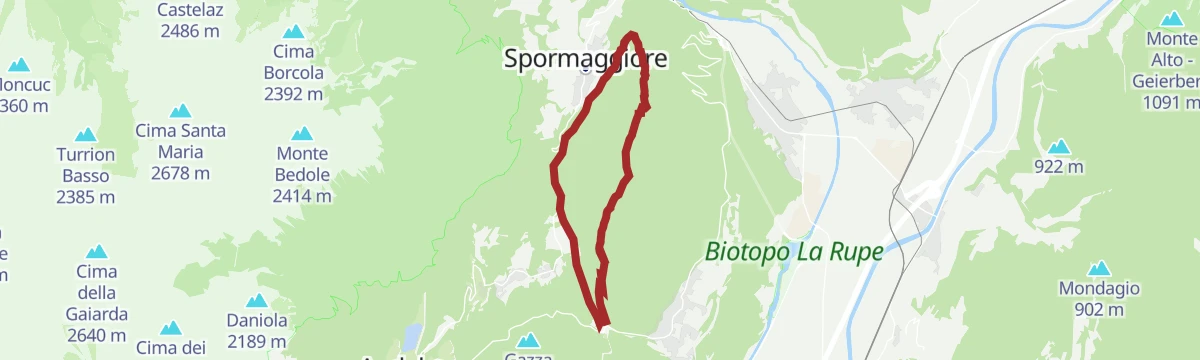
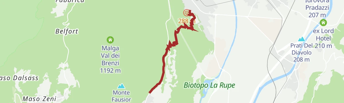
Open route APT Dolomiti di Brenta e Paganella792 "Loop route from Spormaggiore to Malga Val dei Brenzi"
A loop from Spormaggiore over the Passo Santel and up to the dairy hut in Val dei Brenzi, dropping back past the wildlife park.
- 13.5 km
- Distance
- 666 m
- Ascent
- 5 h 3 min
- Duration
- 19
- Check-ins
Open route APT Dolomiti di Brenta e PaganellaTre Tre
A steep line up the disused Tre Tre piste on the Paganella, once a downhill race course won by Zeno Colò.
- 4.7 km
- Distance
- 976 m
- Ascent
- 3 h 43 min
- Duration
- 9
- Check-ins
Open route APT Dolomiti di Brenta e PaganellaPeter Pan by Transition
The first flow trail built in the Dolomiti Paganella bike area, a bermed descent opened in 2016 above Fai.
- 2.5 km
- Distance
- 0 m
- Ascent
- 23 min
- Duration
- 32
- Check-ins
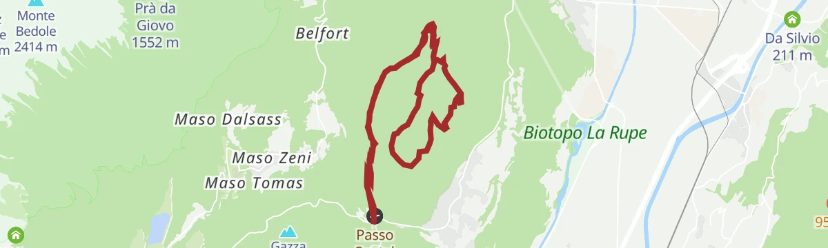
Open route APT Dolomiti di Brenta e Paganella803 "Monte Corno"
An enduro ride from Santel by Malga Brenzi over Monte Corno and down to Spormaggiore, next to the wildlife park, with a quiet road back.
- 13.3 km
- Distance
- 922 m
- Ascent
- 2 h 21 min
- Duration
- 19
- Check-ins
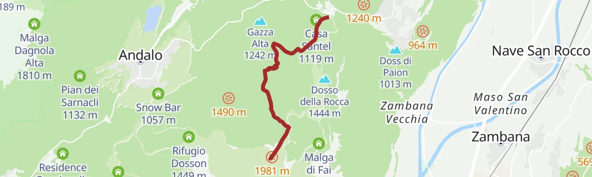
Open route APT Dolomiti di Brenta e Paganella793 "Panoramico Fausior"
A bike tour with a stiff climb from Santel to Monte Fausior, then an easy wooded loop on the top by the Croce di Fai above the Adige valley.
- 16.4 km
- Distance
- 2 750 m
- Ascent
- 5 h 55 min
- Duration
- 27
- Check-ins
Open route APT Dolomiti di Brenta e Paganella789 "Tour of the 4 Towns"
A hilly circuit from the shore of Lago di Molveno through Fai della Paganella, Cavedago and Andalo, crossing the Passo Santel.
- 30.3 km
- Distance
- 1 315 m
- Ascent
- 3 h 56 min
- Duration
- 102
- Check-ins
- Dosso della Rocca 1 444 m
- Fontanella 845 m
- Rifugio Meriz 1 425 m
- Lago Park Hotel 826 m
- Grand Hotel Molveno 838 m
- Tre3 1 037 m
- +6
Open route APT Dolomiti di Brenta e PaganellaArdito Alberto walk
An easy walk on the Ardito path, which skirts Fai della Paganella on its terrace above the Adige valley.
- 4.9 km
- Distance
- 177 m
- Ascent
- 1 h 36 min
- Duration
- 24
- Check-ins
- Albergo El Paso 1 036 m
- Passo Santel 1 040 m
- Albergo Miravalle 987 m
- ex Hotel Dolomiti Paganella 999 m
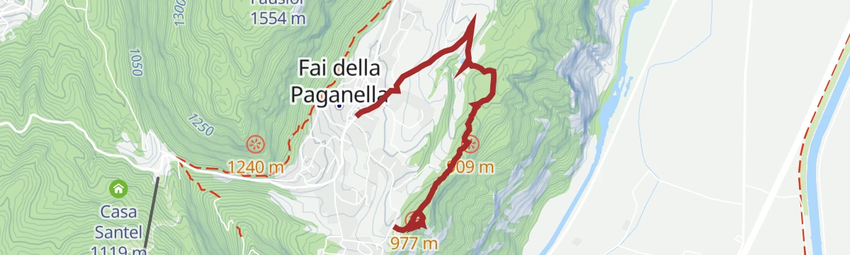
Open route APT Dolomiti di Brenta e PaganellaTrekking to the Cross of Fai
A climb from Fai della Paganella to the Croce di Fai, the summit cross on the edge of the plateau above the Adige valley.
- 4.7 km
- Distance
- 470 m
- Ascent
- 2 h 8 min
- Duration
- 18
- Check-ins
Open route APT Dolomiti di Brenta e PaganellaApocalypse Now
An expert-only downhill line on the Paganella, steep and heavily rooted, used twice for rounds of the Gravitalia race series.
- 1.7 km
- Distance
- 0 m
- Ascent
- 20 min
- Duration
- 21
- Check-ins
Open route APT Dolomiti di Brenta e PaganellaConquering mount Bondone
A very long road ride from the Andalo plateau down to La Rocchetta and over the Passo Santel to the Monte Bondone col at 1,651 m.
- 116.3 km
- Distance
- 2 698 m
- Ascent
- 12 h 52 min
- Duration
- 96
- Check-ins
- Falesia Grotta Sardagna 551 m
- Valico di Monte Bondone 1 651 m
- Tre3 1 037 m
- Albergo El Paso 1 036 m
- Passo Santel 1 040 m
- La Rocchetta 2019 270 m
- +12
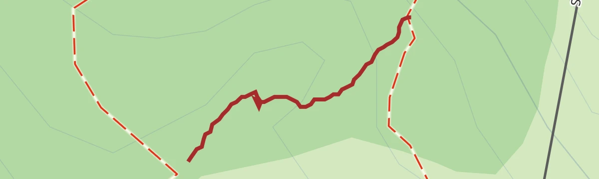
Open route APT Dolomiti di Brenta e PaganellaThe Love Trail
A very short link in the woods above Fai della Paganella, known as the Love Trail, in the Parco del Respiro.
- 63 m
- Distance
- 7 m
- Ascent
- 3 min
- Duration
- 23
- Check-ins
Open route APT Dolomiti di Brenta e PaganellaVal del Ri (SAT 602B)
A steep climb up a side valley above Fai della Paganella, gaining over seven hundred metres in under five kilometres.
- 4.7 km
- Distance
- 728 m
- Ascent
- 2 h 52 min
- Duration
Open route APT Dolomiti di Brenta e PaganellaArancia Meccanica
A descent for experienced riders leaving the Apocalypse Now track, running straight over jumps and banked turns.
- 1.9 km
- Distance
- 0 m
- Ascent
- 21 min
- Duration
- 21
- Check-ins
Open route APT Dolomiti di Brenta e PaganellaFrom the Paganella Plateau to the valley and back
A descent to the Piana Rotaliana at La Rocchetta, followed by the full climb back up the other side to the Passo Santel.
- 32.8 km
- Distance
- 968 m
- Ascent
- 3 h 50 min
- Duration
- 62
- Check-ins
- Tre3 1 037 m
- Albergo El Paso 1 036 m
- Passo Santel 1 040 m
- La Rocchetta 2019 270 m
- Maso Cervara 245 m
- APT Dolomiti Paganella 1 021 m
- +5
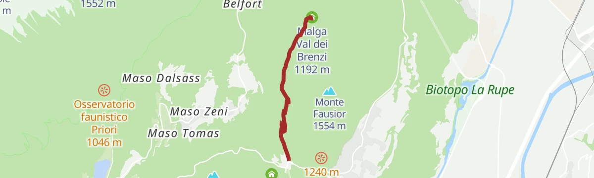
Open route APT Dolomiti di Brenta e PaganellaHike from Santel to Malga Val dei Brenzi
An easy walk from Santel through the woods to Malga Val dei Brenzi under the Paganella.
- 3.6 km
- Distance
- 214 m
- Ascent
- 1 h 13 min
- Duration
- 19
- Check-ins
Open route APT Dolomiti di Brenta e PaganellaTop Gun
The longest descent in the Dolomiti Paganella bike area, dropping through the woods above Fai.
- 3.7 km
- Distance
- 0 m
- Ascent
- 30 min
- Duration
- 8
- Check-ins
Open route APT Dolomiti di Brenta e PaganellaTour of the Plateau
A road circuit over the Passo Santel and the Sella di Andalo, taking in every settlement on the plateau with short sharp climbs throughout.
- 31.5 km
- Distance
- 840 m
- Ascent
- 3 h 35 min
- Duration
- 59
- Check-ins
- Tre3 1 037 m
- Albergo El Paso 1 036 m
- Passo Santel 1 040 m
- Sella di Andalo 1 042 m
- APT Dolomiti Paganella 1 021 m
- Agriturismo Ai Castioni 973 m
- +3
Open route APT Dolomiti di Brenta e PaganellaSentiero de la Cornela
A short steep path on the Cornela slope above Fai della Paganella, in the beech woods below the plateau rim.
- 2.1 km
- Distance
- 210 m
- Ascent
- 1 h 1 min
- Duration
- 9
- Check-ins
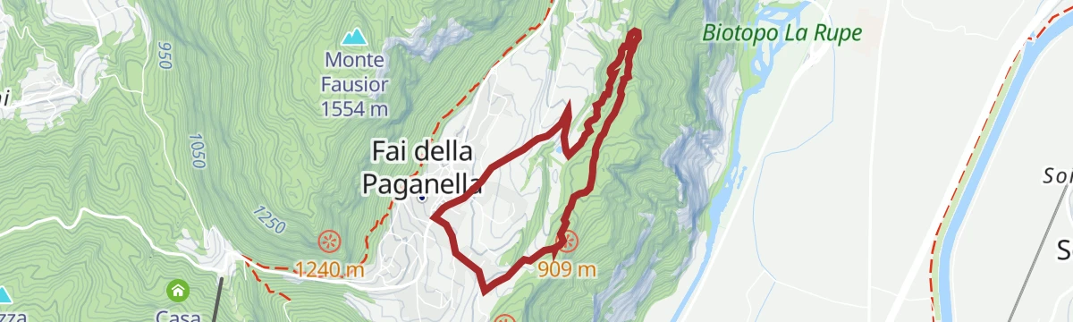
Open route APT Dolomiti di Brenta e Paganella794 "Scavi Archeologici"
An easy bike round near Fai della Paganella by way of the Doss Castel excavations, with openings in the trees over the valley.
- 5.6 km
- Distance
- 254 m
- Ascent
- 44 min
- Duration
- 2
- Check-ins
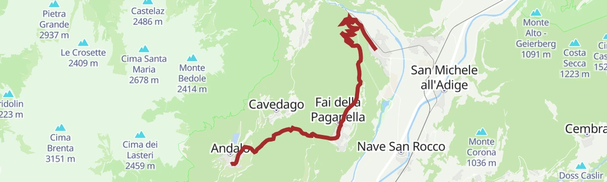
Open route APT Dolomiti di Brenta e PaganellaFai-Andalo della Paganella
The longer climb from the valley through Fai to Andalo, a thousand metres onto the Paganella terrace.
- 18.2 km
- Distance
- 934 m
- Ascent
- 2 h 13 min
- Duration
- 51
- Check-ins
- Tre3 1 037 m
- Albergo El Paso 1 036 m
- Passo Santel 1 040 m
- Maso Cervara 245 m
- APT Dolomiti Paganella 1 021 m
- Albergo Miravalle 987 m
- +3
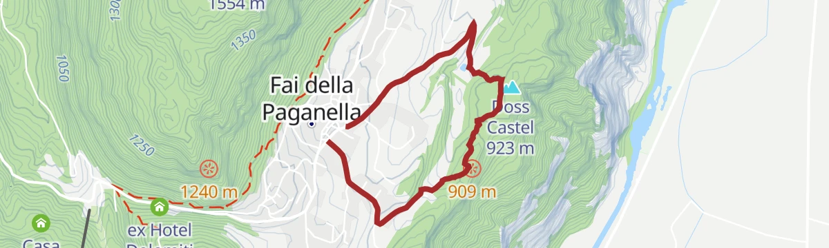
Open route APT Dolomiti di Brenta e PaganellaNature Route, Viewpoint and Archaeological Excavations - Fai della Paganella
An easy nature walk above Fai della Paganella to a viewpoint and the excavated Rhaetian settlement on the Doss Castel.
- 3.8 km
- Distance
- 159 m
- Ascent
- 1 h 17 min
- Duration
- 2
- Check-ins
Open route APT Dolomiti di Brenta e Paganella795 "Panoramico Fai"
A very short bike loop at Fai della Paganella, with a few open windows over the Adige valley between the trees.
- 1.3 km
- Distance
- 41 m
- Ascent
- 9 min
- Duration
Open route APT Dolomiti di Brenta e PaganellaSentiero dei Reti walk in the Parco del Respiro forest
An easy forest walk in the Parco del Respiro at Fai, following the trail of the Reti, the people who settled the Doss Castel.
- 3.4 km
- Distance
- 61 m
- Ascent
- 57 min
- Duration
- 2
- Check-ins
Open route APT Dolomiti di Brenta e PaganellaEasy Rider
A varied descent in the Paganella bike park, fast and jumpy in places and technical on rock and roots, with links onto Peter Pan.
- 1.1 km
- Distance
- 0 m
- Ascent
- 14 min
- Duration
Open route APT Dolomiti di Brenta e PaganellaWater and Beeches path in the Parco del Respiro
A walk through the beech woods of the Parco del Respiro above Fai, past the springs and small watercourses on the slope.
- 5.4 km
- Distance
- 154 m
- Ascent
- 1 h 39 min
- Duration
- 2
- Check-ins
Open route APT Dolomiti di Brenta e PaganellaMad Max
A very short link section in the Dolomiti Paganella bike park above Fai.
- 144 m
- Distance
- 0 m
- Ascent
- 2 min
- Duration
Open route APT Dolomiti di Brenta e PaganellaBelvedere walk in the Parco del Respiro forest
A short level walk through the Parco del Respiro at Fai to the belvedere over the Adige valley.
- 2.4 km
- Distance
- 41 m
- Ascent
- 40 min
- Duration
Open route APT Dolomiti di Brenta e PaganellaSentiero dell’Otto
An easy figure-of-eight path in the woods above Fai della Paganella, on the terrace under the mountain.
- 4.7 km
- Distance
- 142 m
- Ascent
- 1 h 27 min
- Duration
Open route APT Dolomiti di Brenta e PaganellaSentiero di Lutia walk
A short walk on the Lutia path above Fai della Paganella, through beech wood on the edge of the plateau.
- 2.0 km
- Distance
- 110 m
- Ascent
- 47 min
- Duration
Open route APT Dolomiti di Brenta e Paganella
No routes of this kind in Fai della Paganella yet.
The region's own picks

Featured route
Sentiero Botanico - Botanical Path
A short botanical path on the slopes above Fai della Paganella, labelled with the trees and flowers of the limestone.
Planning a trip to Fai della Paganella?
Everything else Trentino-Alto Adige/Südtirol has, in one place


Take Fai della Paganella with you into the mountains
Every route on this page with 3D terrain, GPX navigation and offline maps — including the valleys with no signal.
Data sources
- Official website: visittrentino.info ↗
- Routes and highlights: APT Dolomiti di Brenta e Paganella, Italia.it, VisitTrentino
- Published as open data by the tourist boards named above.
- Region summary generated from the board's own material.
