







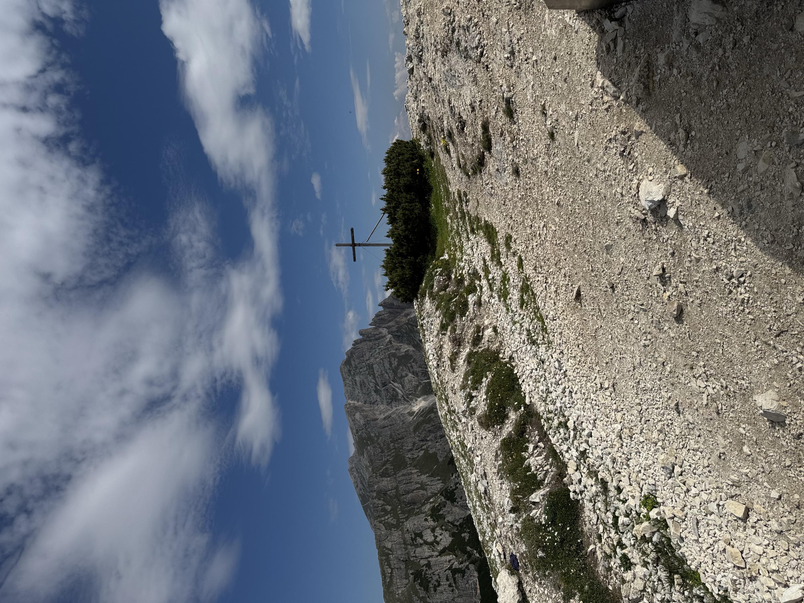
 Summit
Strudelkopf
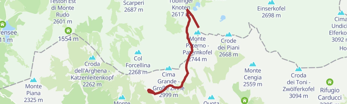
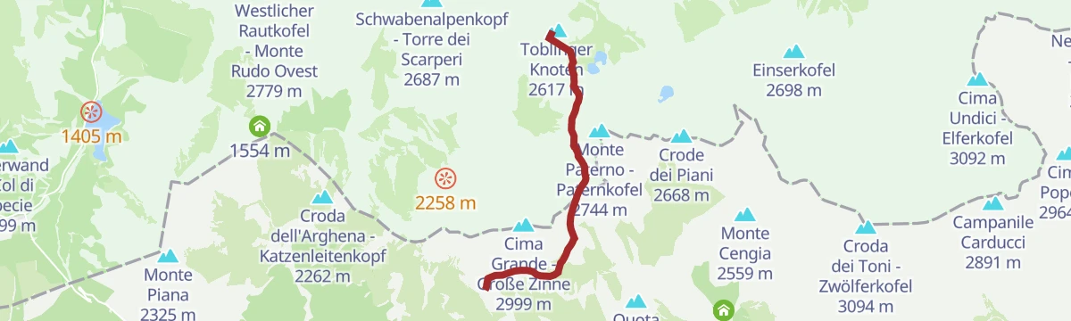
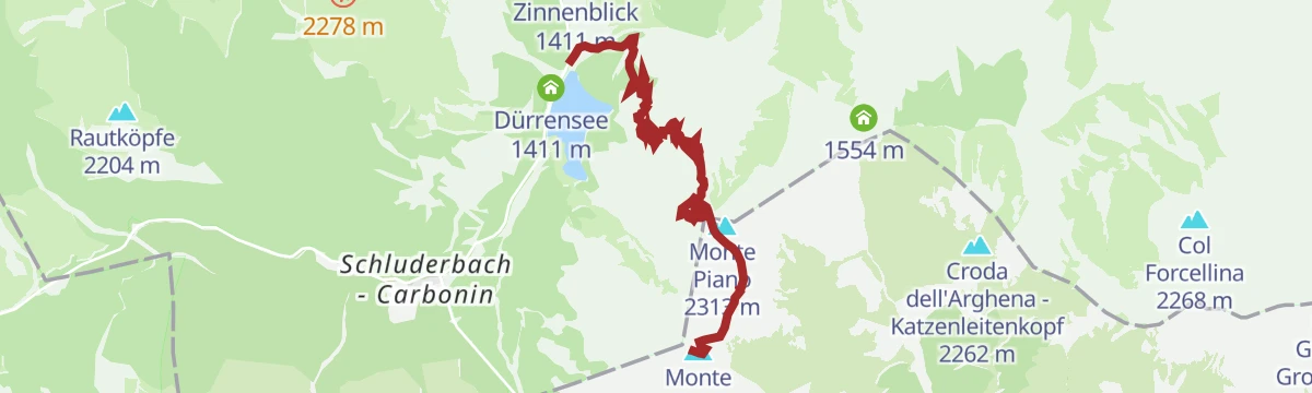
via Dolomites World Heritage Geotrail II – 9a tappa: da Prato Piazza al Rifugio Antonio Locatelli
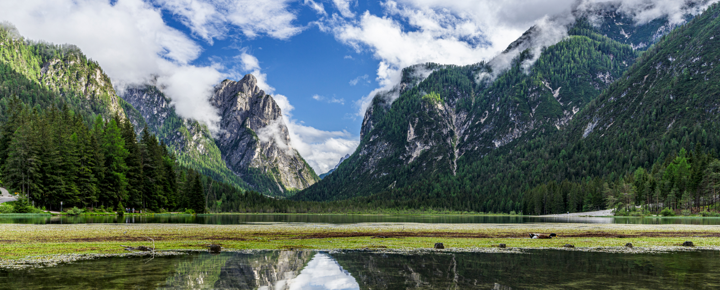
Curated by Sterzing, Pfitsch und Freienfeld
A Pusteria market town on the watershed between Rienza and Drava, with the lakes of Dobbiaco and Landro on the road to the Tre Cime.
13 from neighbouring places
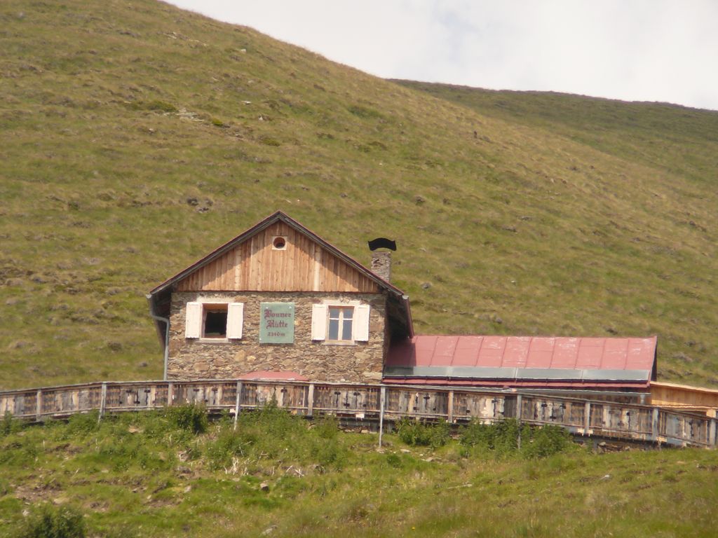
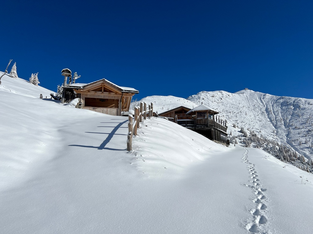
A hut at 2,340 m walked up from Dobbiaco or the Val Casies, with overnight beds, a stube, a sun terrace and sunrise over the Pfannhorn.
4 km away, in Villabassa/Niederdorf
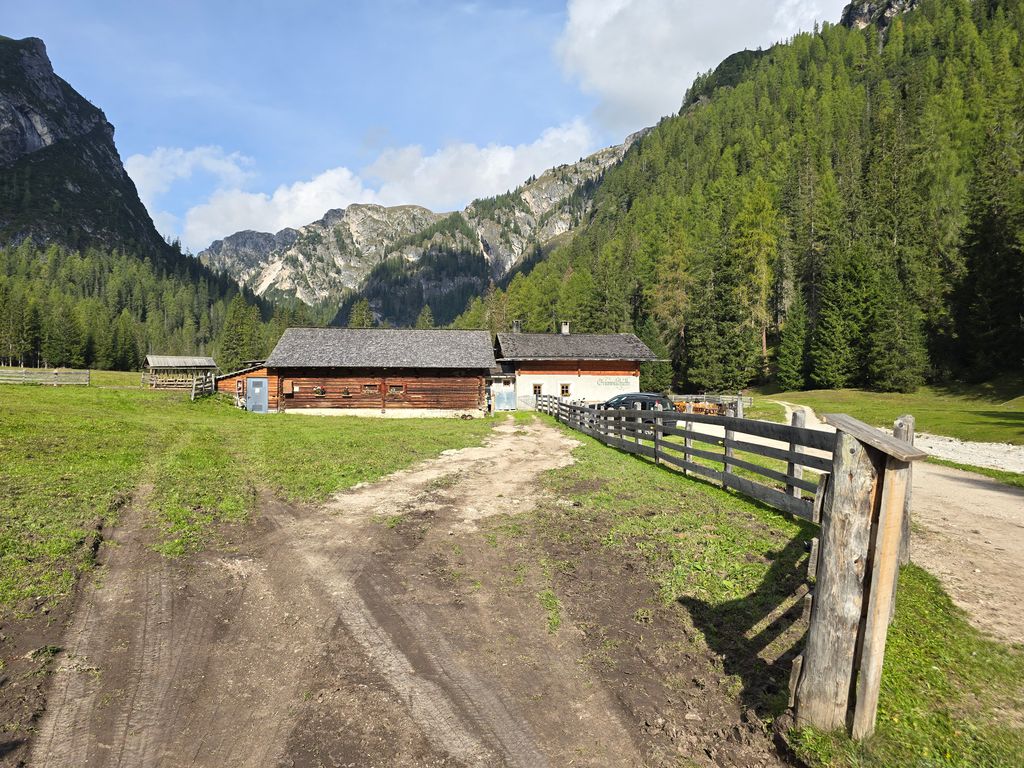
A dairy hut on the pastures above Villabassa, in the upper Val Pusteria below the Dolomiti di Braies.
4.8 km away, in San Candido/Innichen
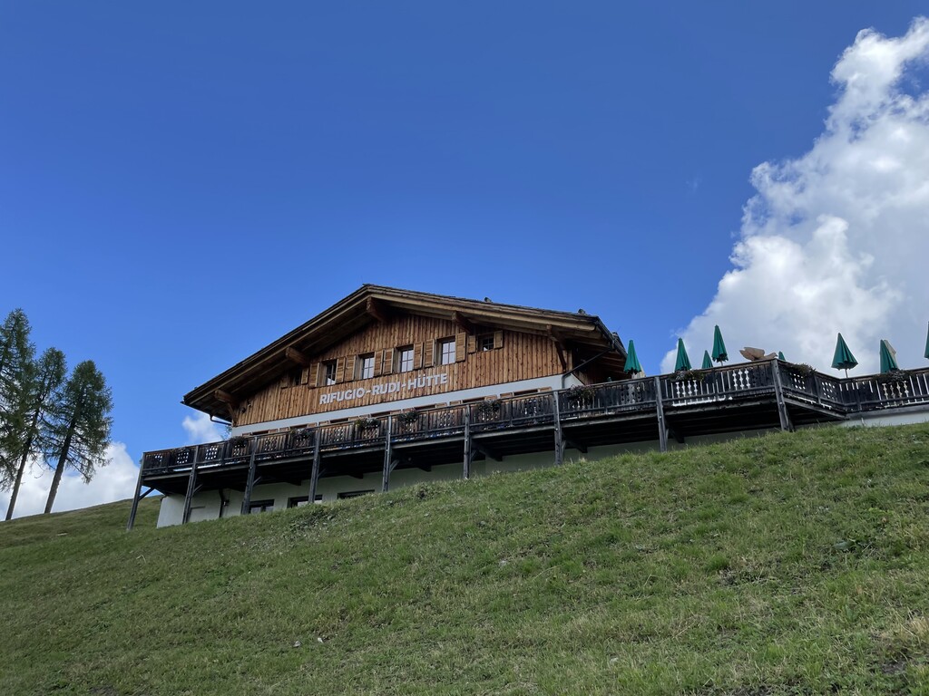
A refuge at the foot of the Baranci above San Candido, in the Sesto Dolomites, reached from the Baranci lift or on foot from the village.
5.6 km away, in Braies/Prags
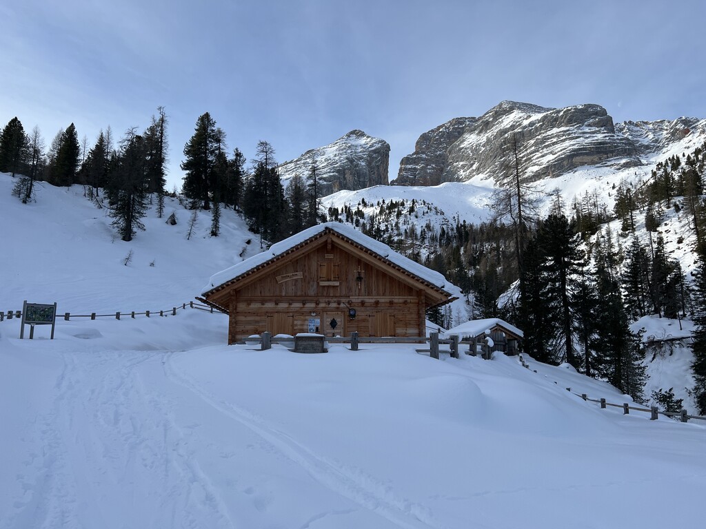
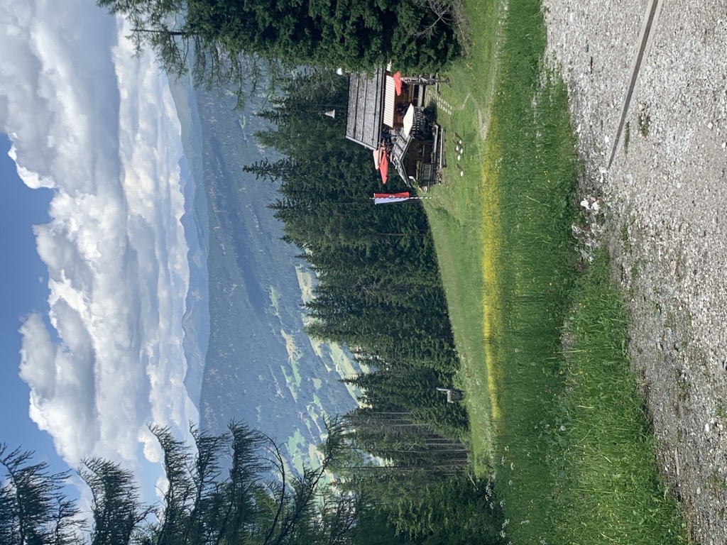
A pasture hut at 2,054 m on the Prato Piazza plateau south of Lago di Braies, on the Giro del Monte Specie theme trail out of Dobbiaco.
5.7 km away, in Braies/Prags
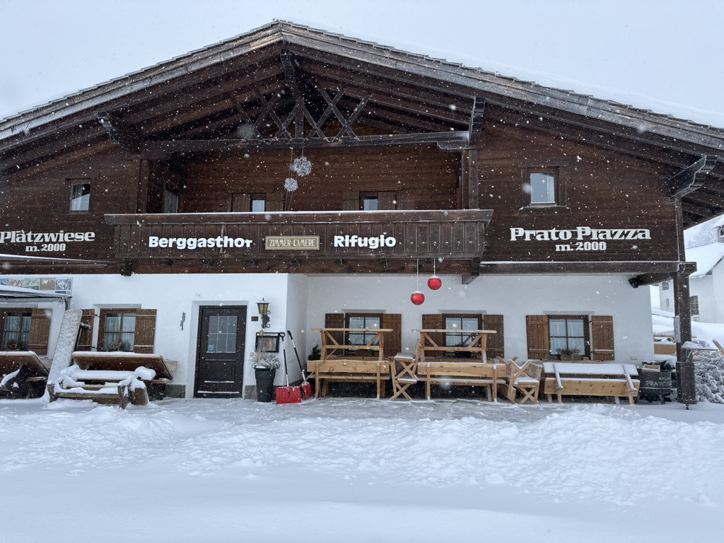
A hut on the Plätzwiese, the high meadow plateau above the Val di Braies, under the walls of the Croda Rossa and reached by the road from Ponticello.
6.2 km away, in Braies/Prags
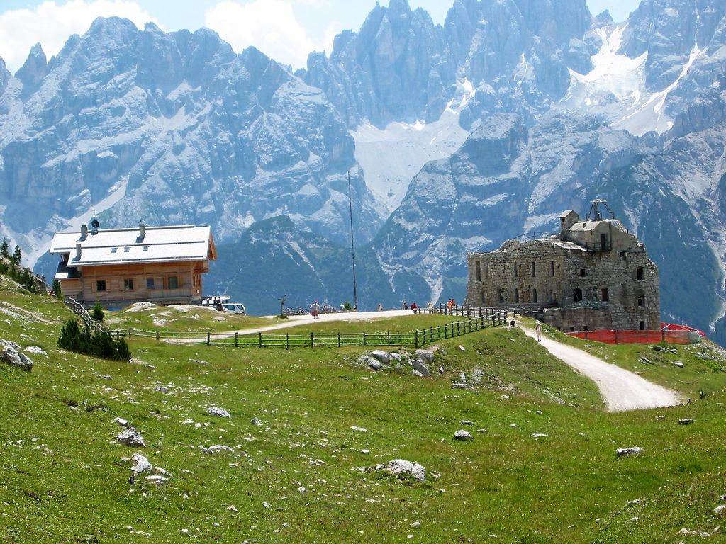
A refuge on the Prato Piazza plateau above Braies, the usual starting point for the Picco di Vallandro and its old fortifications.
6.6 km away, in Braies/Prags
A hut at 1,940 m in the Braies valley, about two hours up the Stolla stream from Ponticello on path 18 and closed through the winter.
9.1 km away, in Braies/Prags
A recently built pasture hut at 2,164 m in the Braies Dolomites, reached on path 4 from the Ponticello car park or from Prato Piazza past Malga Stolla.
9.9 km away, in Sesto/Sexten
A hut at 1,821 m above Sesto in the Pusteria, an easy outing for families of any age, reached from the Helmjet top station or on the meditation path.
11.5 km away, in Sesto/Sexten
A hut at 1,917 m above Sesto reached by gondola or on foot, beside the Croda Rossa cabin lift and the top of the toboggan run.
11.5 km away, in Sesto/Sexten
A hut at 2,155 m at the foot of the Monte Elmo above Sesto, the Pusteria village facing the Sesto Dolomites.
12.4 km away, in Braies/Prags
A pasture hut at 1,590 m above the western shore of Lago di Braies, reached on path 19 from the lake car park on a track gentle enough for pushchairs.
13.5 km away, in Sesto/Sexten
A pasture hut at 1,944 m on the Klammbach slopes above Sesto, reached on the walk up from Moso and cooking the typical Tyrolean fare of the Pusteria.
13.6 km away, in Marebbe/Enneberg
A hut at 2,126 m on the Sennes pastures in the Fanes-Sennes-Braies nature park above Marebbe, on the Alta Via delle Dolomiti n. 1.
Nothing of this kind in Dobbiaco/Toblach.
An equipped route from the Locatelli hut through a rock tunnel and up past the Gamsscharte to the summit of Monte Paterno, above the Tre Cime.
Monte Paterno - Paternkofel 2 744 m Frankfurter Würstel - Monolite della Salsiccia 2 726 m Frankfurter Würstel - Salsiccia di Francoforte 2 438 m Buddha 2 531 m Rifugio Auronzo 2 333 m
 Forcella Longeres 2 330 m
A short but steep ladder climb on the north flank of the Torre di Toblin, started at the Locatelli hut and set opposite the Tre Cime.
Toblinger Knoten 2 617 m Toblinger Knoten - Torre di Toblin 2 564 m Toblinger Knoten Westgipfel - Torre di Toblin Cima Ovest 2 546 m Rifugio Auronzo 2 333 m Forcella Longeres 2 330 m Forcella Lavaredo - Paternsattel 2 454 mA stage of the Dolomiti senza Confini high route, linking the Tre Cime di Lavaredo with the Comici hut over equipped ground and old front-line positions.
Monte Paterno - Paternkofel 2 744 m Frankfurter Würstel - Monolite della Salsiccia 2 726 m Toblinger Knoten - Torre di Toblin 2 564 m Toblinger Knoten Westgipfel - Torre di Toblin Cima Ovest 2 546 m Westliche Gamsspitze 2 671 m Östliche Gamsspitze 2 696 mA brief cabled section with a long walk in, ending on the summit plateau of Monte Piano and its open-air museum of the First World War.
Monte Piana 2 325 m Toblacher Kreuz - Croce di Dobbiaco 2 301 m Monte Piano 2 313 m Capanna Carducci 2 321 m Forcella dei castrati 2 201 mA flat circuit of the Dobbiaco lake, level enough for pushchairs and open all year.
A themed circuit of Monte Specie above Prato Piazza, with the Tre Cime di Lavaredo in view.
Strudelkopf 2 307 m Prato Piazza 1 997 m Dürrensteinhütte - Rifugio di Vallandro 2 037 m Berggasthof Plätzwiese - Rifugio Prato Piazza 1 995 m Plätzwiese - Prato Piazza 1 993 m Strudelkopfsattel - Sella di Monte Specie 2 204 mThe fourth day, from the Lavaredo hut down to Lake Landro, then over the Cimabanche pass and by cycle path and trail to Malga Ra Stua.
Forcella Lavaredo - Paternsattel 2 454 m Rifugio Lavaredo 2 345 m Laghi di Lavaredo 2 387 m Rudere 2 392 m Rifugio Malga Ra Stua 1 668 m Im Gemärk - Passo Cimabanche 1 530 m
A south-facing ski tour inside the Fanes-Sennes-Braies park to the 2,307 m top of Monte Specie, opposite the Cristallo and the Croda Rossa.
Strudelkopf 2 307 m Dürrensteinhütte - Rifugio di Vallandro 2 037 m Strudelkopfsattel - Sella di Monte Specie 2 204 m Prato Piazza 1 993 mA ski ascent of the Corno di Fana, a border peak above Dobbiaco, climbed from Gandelle by way of the Bonner hut.
Spitzkinkele 2 659 m Toblacher Pfannhorn - Corno di Fana 2 663 m Bonner Hütte - Rifugio Bonner 2 340 m Gasthaus Bergrast 1 599 mA circuit on the farm roads of the Costa dei Nosellari above Dobbiaco, crossing the Toblacher Feld saddle and passing the Schopfenhof.
Touristeninformation - Informazioni turistiche 1 217 m Kugler Speckstube 1 310 m Schopfenhof 1 338 m Toblacher Feld - Sella di Dobbiaco 1 219 mA forest-road climb to the Prato Piazza plateau at 1,993 m, returning by the Dürrensee below the Cristallo.
Prato Piazza 1 997 m Berggasthof Plätzwiese - Rifugio Prato Piazza 1 995 m Dürrensee 1 411 m Plätzwiese - Prato Piazza 1 993 m Baita 1 175 m Villaggio turistico Ploner 1 436 mA short, easy circuit from Dobbiaco by Santa Maria and the Nove Case farms, passing the Thalmannhof on the way.
A long ride from San Cassiano over the Falzarego and the Passo Tre Croci to Lago d'Antorno, returning across the Valparola Pass.
Falzarego Pass 2 105 m Rifugio Antorno 1 876 m Passo Tre Croci - Son Zuógo 1 809 m Lago d'Antorno 1 868 m Bar Bazar 2 106 m Rifugio "Passo Valparola" 2 168 mA very short walk past five fifteenth-century chapels on the Calvary hill at Dobbiaco, the oldest Stations of the Cross in Tyrol.
A circuit of the Dobbiaco lake with eleven stations on its plants, animals and landforms, and an observation deck on the western shore.
Touristeninformation - Informazioni turistiche 1 217 m Hotel Baur am See 1 266 m Ochsenleger 1 230 mA long high route along the Italian-Austrian border above Dobbiaco, waymarked with a yellow H and passing the Bonner and March huts.
Spitzkinkele 2 659 m Toblacher Pfannhorn - Corno di Fana 2 663 m Marchkinkele - Cornetto Di Confine 2 545 m Gaishörndl 2 615 m Golfen - Monte Calvo 2 474 m Hochhorn 2 625 mAn easy ski ascent from Prato Piazza to the 2,307 m top of Monte Specie; the avalanche bulletin comes first.
Strudelkopf 2 307 m Berggasthof Plätzwiese - Rifugio Prato Piazza 1 995 m Plätzwiese - Prato Piazza 1 993 m Strudelkopfsattel - Sella di Monte Specie 2 204 m Berghotel Hohe Gaisl 2 003 mA mostly surfaced climb toward Monte Rota with one forest-road stretch, looking out over the Val di Landro and the Dobbiaco lake.
A long circuit taking in the Tre Cime area, on forest roads by the Malga San Silvestro and the Stoneman info point.
Baita 1 175 m STONEMAN - Spirit Info Point 1 314 m Paradiso 1 197 m Silvesteralm - Malga San Silvestro 1 800 m Schnegga Soge 1 492 m Kugler Speckstube 1 310 mA long circuit from Cortina on the old railway to Cimabanche, then round by Misurina and back over the Passo Tre Croci.
Passo Tre Croci - Son Zuógo 1 809 m Col Sant’Angelo 1 756 m Misurina 1 753 m Rio Gere 1 687 m Albergo Dolomiti 1 758 m Im Gemärk - Passo Cimabanche 1 530 mA level walk through larch woods between Dobbiaco and San Candido to the source of the Drava, and passable with a pushchair.
A historic church path from Colle in the Casies valley over to Santa Maria near Dobbiaco, with a bus back on line 441.
A stage of the Way of St James down the Puster valley from San Candido through Dobbiaco and Villabassa to Monguelfo, mostly losing height.
Stapfpinggl 1 246 m Tourismusverein 1 177 m Bar Minigolf 1 180 m Tourismusbüro Niederdorf - Ufficio Turistico di Villabassa 1 156 m Infobüro - Ufficio informazioni 1 090 m Gustav Mahler Stube 1 233 mAn undemanding ski ascent of Monte Calvo above Dobbiaco, on ground that comes into condition soon after a snowfall.
A circuit into the neighbouring Val Casies that front-loads its climbing, leaving the return leg almost level.
Conglomerato di Monguelfo 1 128 m Baita 1 175 m Touristeninformation - Informazioni turistiche 1 217 m Rifugio Genziana - Enzianhütte 1 351 m Tourismusbüro Niederdorf - Ufficio Turistico di Villabassa 1 156 m Villa San Giuseppe 1 170 mA long ride that nearly encircles the Cristallo group, over the Tre Croci pass by Misurina and down to Auronzo.
Passo Tre Croci - Son Zuógo 1 809 m Col Sant’Angelo 1 756 m Misurina 1 753 m Rio Gere 1 687 m Albergo Dolomiti 1 758 m Centro visitatori del parco 1 323 mA short walk to the ZweiWasserBrunnen fountain, where both of the Dobbiaco springs can be tasted, and on to the labyrinth built around a spring.
One of the hardest bike tours around Dobbiaco, climbing to the Cornetto di Confine on the East Tyrol border for its full-circle view.
Marchkinkele - Cornetto Di Confine 2 545 m Strickberg 2 553 m Tourismusverein 1 177 m Silvesteralm - Malga San Silvestro 1 800 m Marchhütte 2 526 m Schnegga Soge 1 492 mA long ride from Cortina by Fiames and Ospitale over the Cimabanche pass, climbing to the plateau above the Dürrensee.
Prato Piazza 1 997 m Stapfpinggl 1 246 m Berggasthof Plätzwiese - Rifugio Prato Piazza 1 995 m Dürrensee 1 411 m Plätzwiese - Prato Piazza 1 993 m Rifugio Albergo Ospitale 1 491 mAn easy walk from the old centre of Villabassa through meadow and wood towards Dobbiaco, reaching the hut where Mahler composed part of his Ninth Symphony.
Stapfpinggl 1 246 m Gustav Mahler Stube 1 233 m Restaurant Bar Rienz 1 229 m Ebnerschupfe 1 193 m Maistatter Schupfe 1 228 m Bad Maistatt - Bagno Pian di Maia 1 253 mAn e-bike circuit into the Val Casies, the climbing concentrated in the first half and the way back nearly flat.
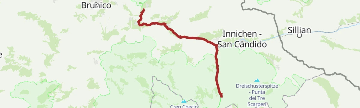
Conglomerato di Monguelfo 1 128 m Baita 1 175 m Touristeninformation - Informazioni turistiche 1 217 m Rifugio Genziana - Enzianhütte 1 351 m Schuler 1 225 m Enzianhütte - Rifugio Genziana 1 350 mThe up-valley direction of the Puster valley cycle path, starting at Rio di Pusteria and gaining height gently as far as San Candido.
Baita 1 175 m Mühlbacher Torturm - Porta di Rio Pusteria 734 m Tourist Info Olang 1 046 m Mini Snack 745 m Treff Ried 927 m Touristik Information 764 mA gentle walk to Carbonin Vecchia, where Mahler spent the summers of 1908 to 1910 in a small wooden hut; both buildings are seen from outside only.
The e-bike version of the Cornetto di Confine circuit, climbing to the border ridge north of Dobbiaco for its all-round view.
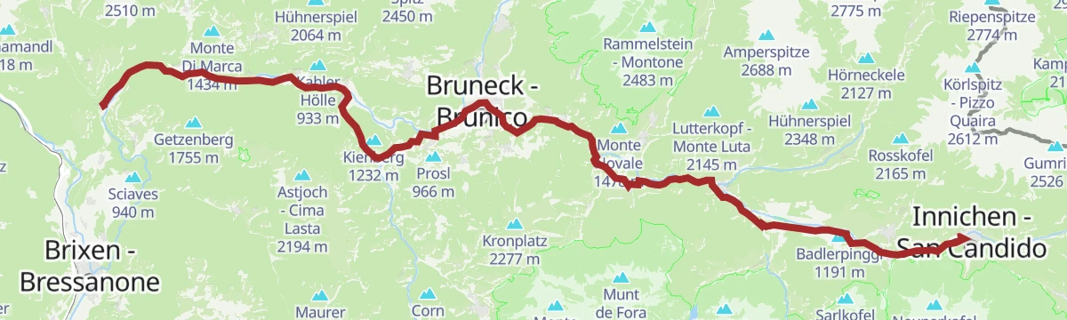
Marchkinkele - Cornetto Di Confine 2 545 m Strickberg 2 553 m Silvesteralm - Malga San Silvestro 1 800 m Touristeninformation - Informazioni turistiche 1 217 m Marchhütte 2 526 m Schnegga Soge 1 492 mThe full length of the Puster valley cycle path, from the gate tower at Rio di Pusteria through Brunico and Valdaora up to San Candido.
Baita 1 175 m Mühlbacher Torturm - Porta di Rio Pusteria 734 m Tourismusverein - Ufficio informazioni turistiche 790 m Tourist Info Olang 1 046 m Mini Snack 745 m Treff Ried 927 mA very short trail with four sculptures on the past of the Landro valley: traffic and travel, tourism, mountaineering and the war on this front.
A forest-road climb from Villabassa onto the sunny terrace of the Montecosta, reaching the Enzianhütte and the Bellavista lookout.
Baita 1 175 m Touristeninformation - Informazioni turistiche 1 217 m Rifugio Genziana - Enzianhütte 1 351 m Enzianhütte - Rifugio Genziana 1 350 m Schupfe 1 341 mA paved valley route beside the Rienza through Brunico and on to San Candido, easily combined with the Puster valley railway.
Baita 1 175 m Mühlbacher Torturm - Porta di Rio Pusteria 734 m Tourist Info Olang 1 046 m Mini Snack 745 m Treff Ried 927 m Touristik Information 764 mA meditation path opened in 1996, with granite stations carrying bronze reliefs, climbing to the church of San Pietro in Monte, first recorded in 1329.
A forest-road circuit of the Valle San Silvestro through the woods, calling at the Malga San Silvestro and the Rifugio Lachwiesen.
Silvesteralm - Malga San Silvestro 1 800 m Touristeninformation - Informazioni turistiche 1 217 m Schnegga Soge 1 492 m Rifugio Genziana - Enzianhütte 1 351 m Bodeneck 1 809 m Enzianhütte - Rifugio Genziana 1 350 mA rolling leg beside the railway from San Candido down to Brunico, through Dobbiaco, Villabassa and Valdaora with meadows either side.
Baita 1 175 m Tourist Info Olang 1 046 m Treff Ried 927 m Tourismusbüro Niederdorf - Ufficio Turistico di Villabassa 1 156 m Weiher in der Aue 918 m Sportbar Percha 926 mAn e-bike circuit of the Valle San Silvestro on forest roads, charging in Dobbiaco and stopping at the Malga San Silvestro.
Silvesteralm - Malga San Silvestro 1 800 m Schnegga Soge 1 492 m Rifugio Genziana - Enzianhütte 1 351 m Bodeneck 1 809 m Enzianhütte - Rifugio Genziana 1 350 m Lachwiesenhütte - Rifugio Lachwiesen 1 694 mThe gently descending leg of the Puster valley cycle path from San Candido west to Brunico, passing Valdaora and the pond at Perca.
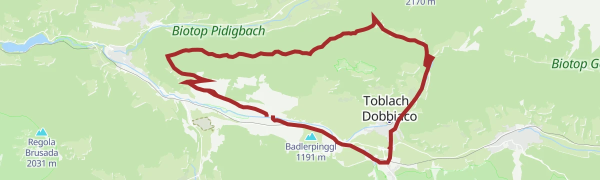
Baita 1 175 m Tourist Info Olang 1 046 m Treff Ried 927 m Weiher in der Aue 918 m Sportbar Percha 926 mA longer loop on the farm roads above the Puster valley, linking the Schopfenhof, Stauderhof and Egarterhof before the run back down.
Touristeninformation - Informazioni turistiche 1 217 m Kugler Speckstube 1 310 m Schopfenhof 1 338 m Egarterhof 1 466 m Stauderhof 1 443 m Toblacher Feld - Sella di Dobbiaco 1 219 mA ride down to the Pustertal cycle path and on through Welsberg and Niederdorf, turning off at Toblach for the lake at 1,266 m.
Baita 1 175 m Tourismusbüro Niederdorf - Ufficio Turistico di Villabassa 1 156 m Hotel Baur am See 1 266 m Ochsenleger 1 230 m Tourismusverein Rasen 1 041 mA tour to the Rifugio Lachwiesen and Monte Versciaco, which can be started from Dobbiaco, San Candido, Versciaco or Prato alla Drava.
Touristeninformation - Informazioni turistiche 1 217 m Bodeneck 1 809 m Lachwiesenhütte - Rifugio Lachwiesen 1 694 m Gasthof Jaufen 1 460 m hotel Steinerof 1 384 mA long ride down the Pustertal to Toblach and on towards Cortina, finishing at the viewpoint that looks across to the Drei Zinnen.
Baita 1 175 m Tourismusbüro Niederdorf - Ufficio Turistico di Villabassa 1 156 m Hotel Baur am See 1 266 m Ochsenleger 1 230 m Tourismusverein Rasen 1 041 mA ride up the Pustertal cycle path past the Olang reservoir and through Welsberg, Niederdorf and Toblach to San Candido near the Austrian border.
Baita 1 175 m Tourismusbüro Niederdorf - Ufficio Turistico di Villabassa 1 156 m Tourismusverein Rasen 1 041 mNo routes of this kind in Dobbiaco/Toblach yet.
Summit
via Dolomites World Heritage Geotrail II – 9a tappa: da Prato Piazza al Rifugio Antonio Locatelli

Featured route
A flat circuit of the Dobbiaco lake, level enough for pushchairs and open all year.
Everything else Trentino-Alto Adige/Südtirol has, in one place
Every route on this page with 3D terrain, GPX navigation and offline maps — including the valleys with no signal.


