






 Summit
Wilde Kreuzspitze Südgipfel - Picco della Croce Cima Sud
via From Niederflans to the Wilde Kreuzspitze
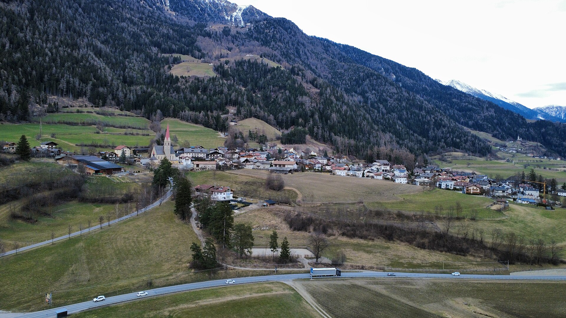
Curated by Sterzing
A broad basin of the Wipptal south of Vipiteno, at the mouth of the Val di Vizze and the Val Ridanna.
Photo: Scrossblu · CC BY 4.0 licence
All 15 from neighbouring places
4.9 km away, in Fortezza/Franzensfeste
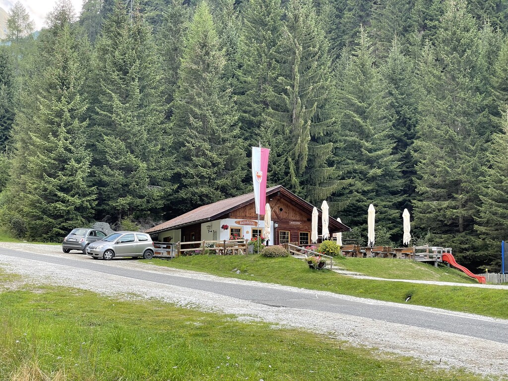
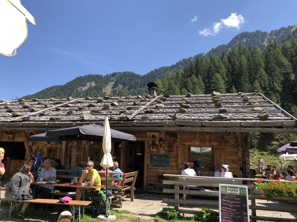
A dairy hut by the Lago di Puntleid above Fortezza, reached by the path from Mezzaselva in the Val Isarco.
6.7 km away, in Rio di Pusteria/Mühlbach
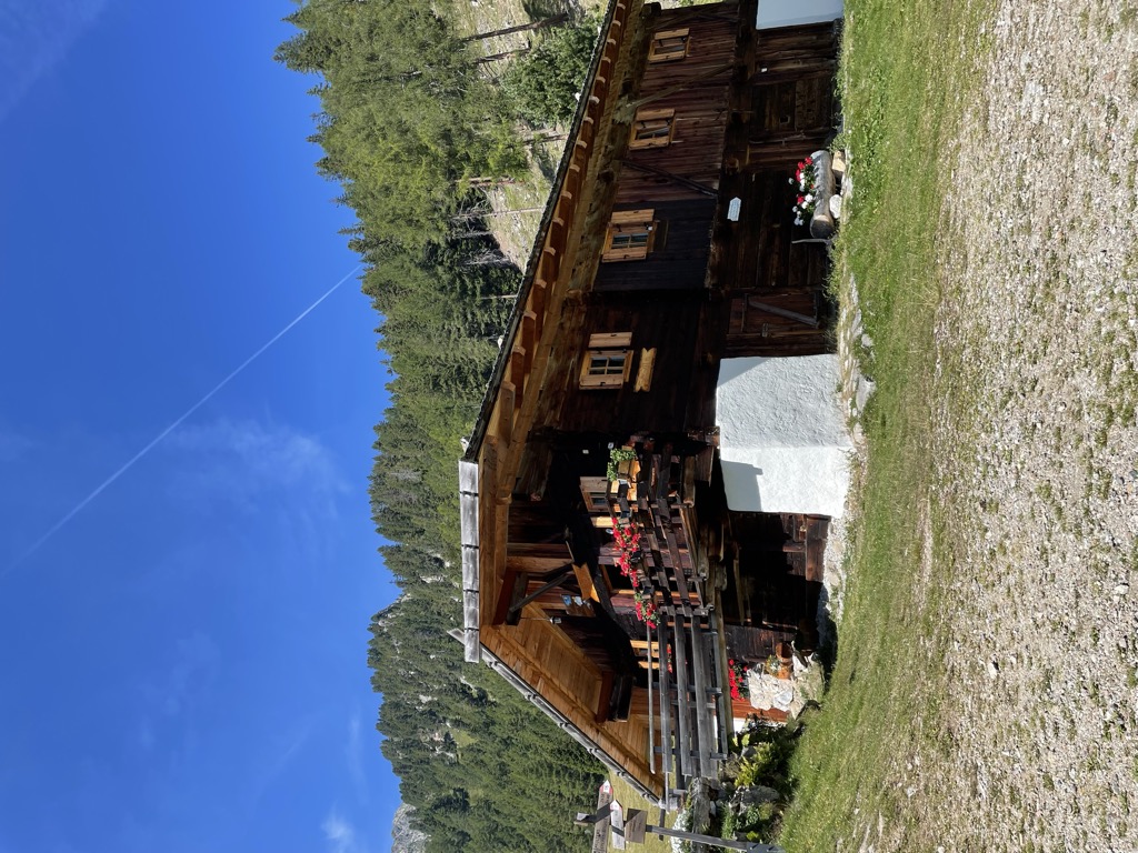
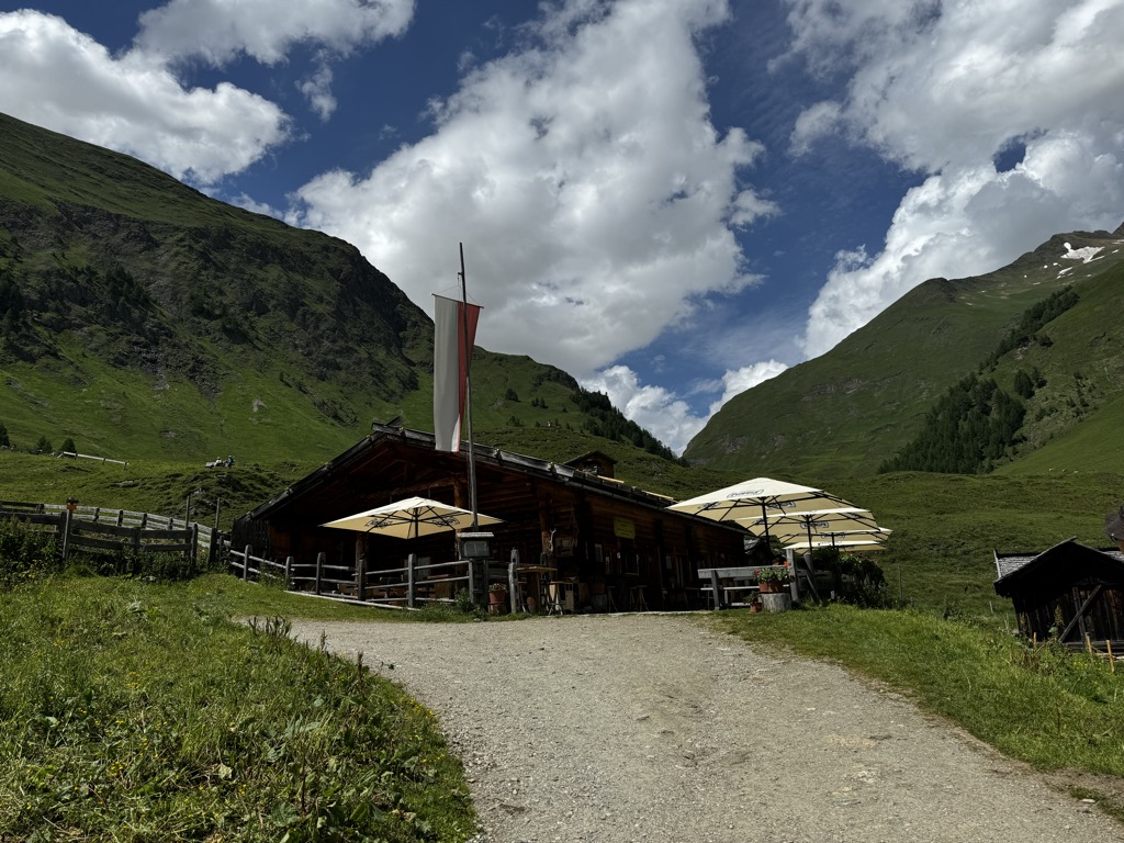
A pasture hut on the grassy slopes above Rio di Pusteria, reached by forest road from the Valles valley.
7.2 km away, in Rio di Pusteria/Mühlbach
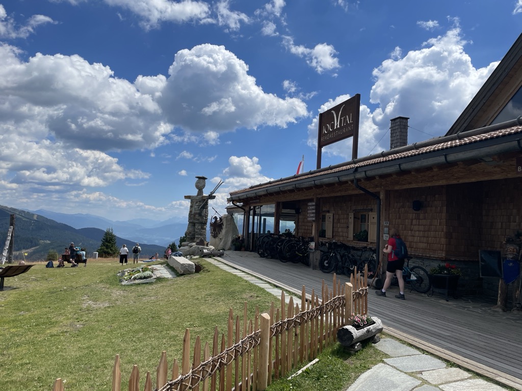
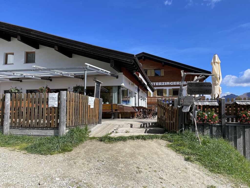
A mountain restaurant at the top of the Jochtal lift above Valles, in the Gitschberg-Jochtal area of the Val Pusteria.
7.4 km away, in Rio di Pusteria/Mühlbach
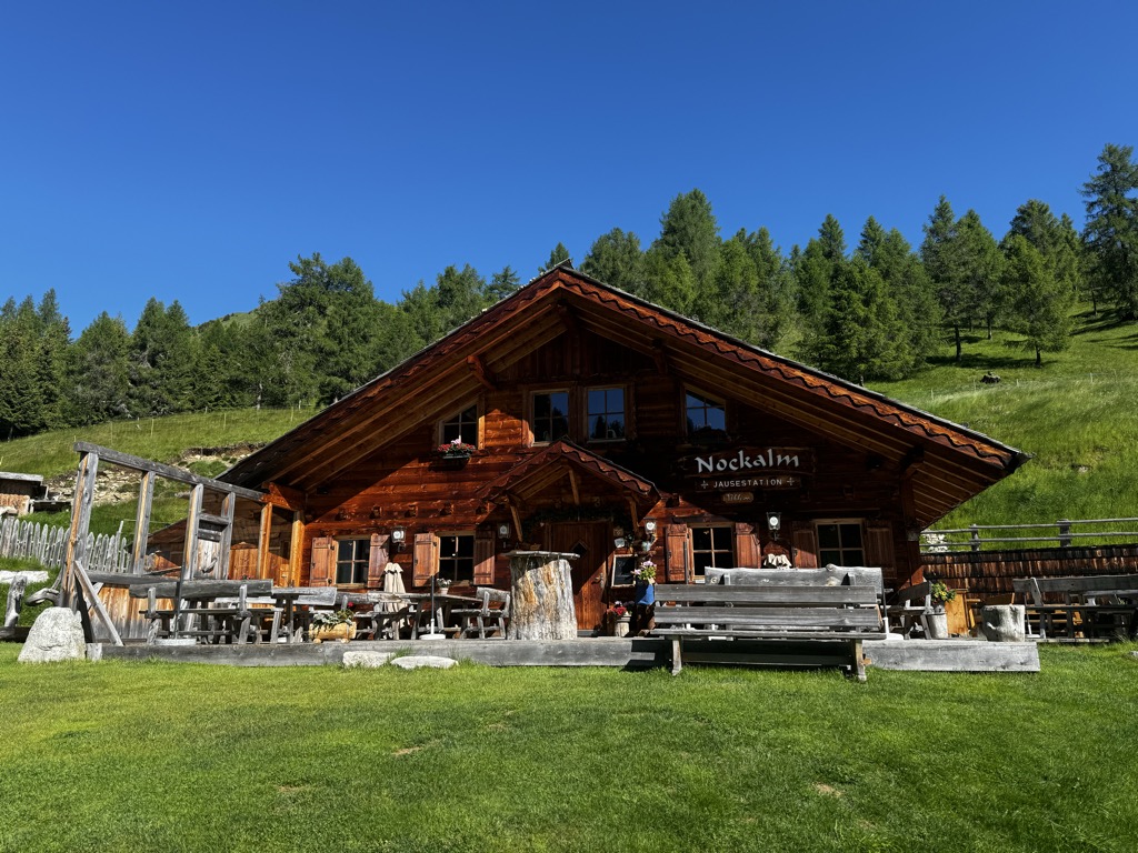
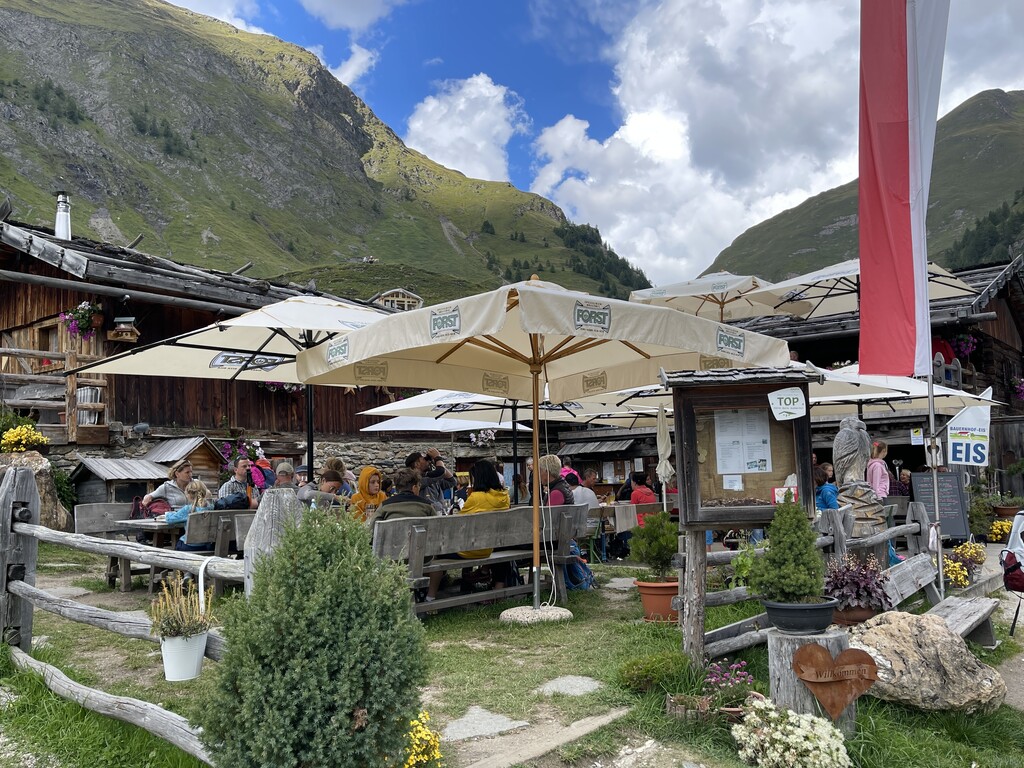
A working dairy on the high pastures above Valles, in the comune of Rio di Pusteria.
8.8 km away, in Rio di Pusteria/Mühlbach
A pasture hut below the Kurzkofel above Rio di Pusteria, in the Pfunderer mountains north of the Val Pusteria.
9.1 km away, in Rio di Pusteria/Mühlbach
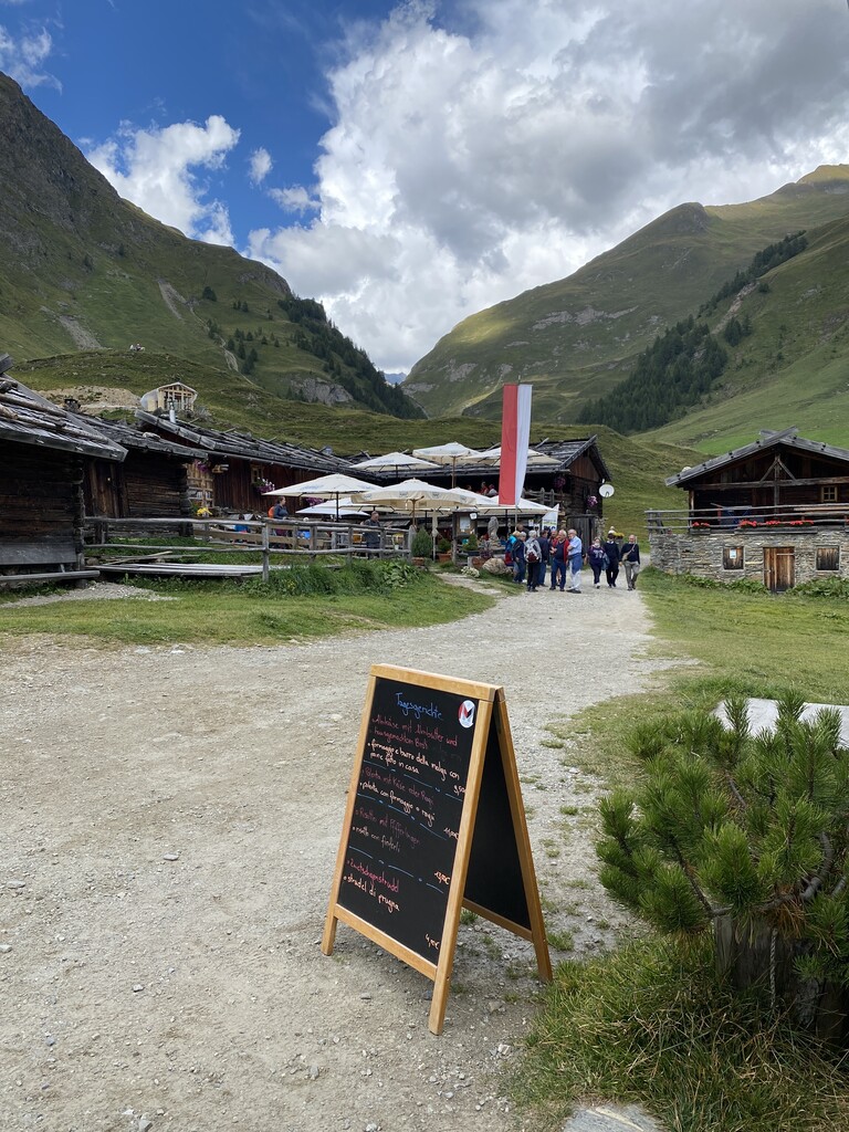
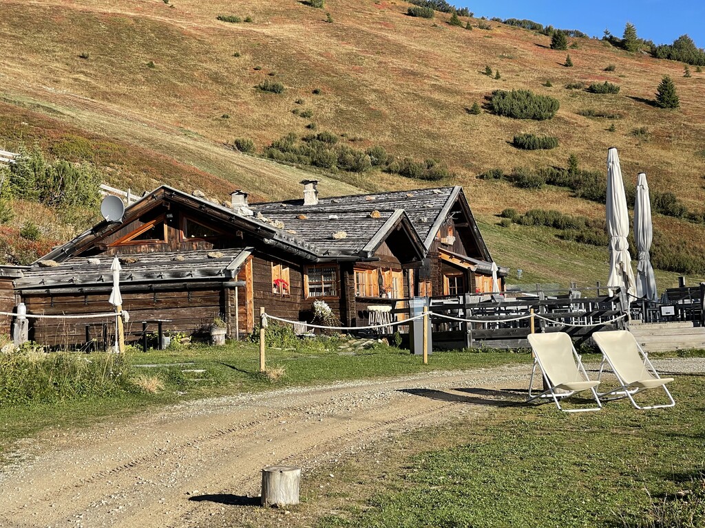
A hamlet of timber dairy huts on the pastures at the head of the Valles valley, above Rio di Pusteria, reached by track from Valles.
9.1 km away, in Rio di Pusteria/Mühlbach
A dairy hut on the open pasture above Rio di Pusteria, on the Valles side of the valley.
9.1 km away, in Rio di Pusteria/Mühlbach
A pasture hut on the slopes above Rio di Pusteria, in the Valle di Valles.
9.1 km away, in Rio di Pusteria/Mühlbach
A pasture hut above Rio di Pusteria, on the walking paths of the Gitschberg-Jochtal side of the Val Pusteria.
10.1 km away, in Rio di Pusteria/Mühlbach
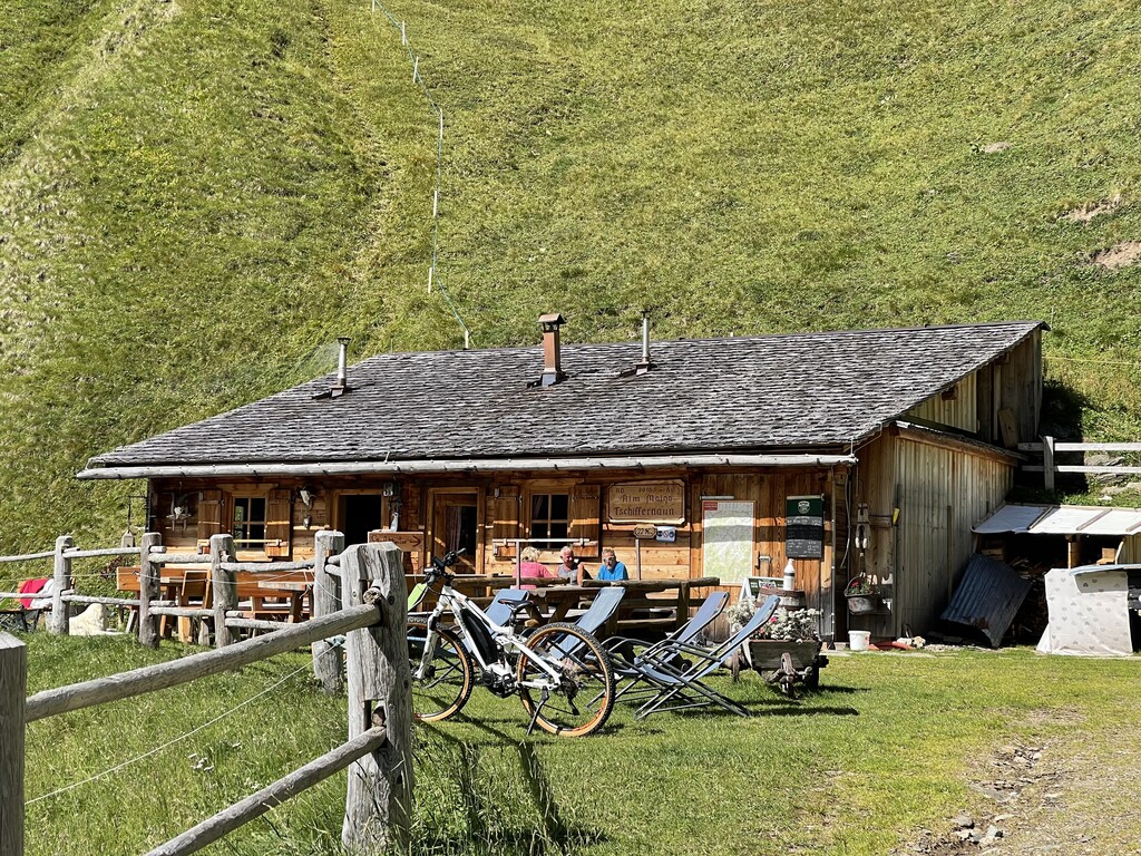
A dairy hut on the Tschiffernaun pastures above Rio di Pusteria, in the mountains north of the Val Pusteria.
10.5 km away, in Rio di Pusteria/Mühlbach
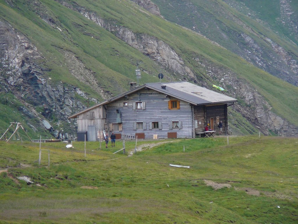
A refuge at the head of the Valles valley below the Cima di Pfunders, reached by the path that climbs past the Malga Fane.
10.8 km away, in Vipiteno/Sterzing
A hut on the pastures above Vipiteno, reached on foot from the side valleys that ring the town.
10.8 km away, in Vipiteno/Sterzing
A mountain restaurant on Monte Cavallo above Vipiteno, at the top of the cable car from the town.
11.2 km away, in Racines/Ratschings
A dairy hut on the high pastures above Racines, in the Stubai Alps north of the Val d'Isarco.
Nothing of this kind in Campo di Trens/Freienfeld.
A short climb from the Passo Pennes to the small lake below it and on up the Gänsekragen, returning along the eastern ridge.
A circuit out of the Mauls valley crossing the Valler Jöchl to the Jochtal pastures, passing the stone men on the ridge with the Isarco valley below.
 Bergrestaurant Jochtal 2 006 m Nockalm 1 812 m
 Valler Jöchl - Passo di Valles 1 932 m Anratterhütte 1 814 m Linderalm 1 900 m
A long ridge traverse from the Penser Joch over the Astenberg and past the Flaggersee and the Marburger Hütte to the Jakobsspitze, with a rope on the last steep step.
Jakobspitz 2 742 m Astenberg 2 367 m Lorenzenspitz 2 620 m Niedereck - Dosso Basso 2 304 m Penser Joch - Passo di Pennes 2 211 m Alpenrosenhof 2 215 mAn e-bike traverse dropping from Castelrotto into the Eisacktal, then following the valley north to Vipiteno largely on surfaced roads.
Paterbichl 559 m Klammwirt 559 m Tourist Information 1 069 m Senfter 532 m Fürholz 554 m Hilm 488 mA long, almost entirely downhill valley ride from the Brenner border to Bozen, following the Eisack river the whole way.
Paterbichl 559 m Mila Bistro 282 m Klammwirt 559 m Hiasele 312 m Agrocenter Bozen OHG 296 m Senfter 532 mA family climb from the Penser Joch road along the ridge over two saddles to the Zinseler, a good top for sunrise or sunset.
Zinseler - Cima di Stilves 2 422 m Gospeneider Jöchl - Giogo di Caspineto 2 300 m Seiterbergjoch 2 159 mA ridge walk from the Penser Joch over the Astenberg to the Puntleider Jöchl, then a steep drop to the lake and down to Grasstein.
Astenberg 2 367 m Niedereck - Dosso Basso 2 304 m Penser Joch - Passo di Pennes 2 211 m Alpenrosenhof 2 215 m See-Alm - Malga di Pontelletto 1 777 m Puntleider See - Lago di Pontelletto 1 850 m
A long crossing from the Penser Joch along the crest and under the Tagewaldhorn to the Flaggersee and the Marburger Hütte at the Flaggerscharte.
Astenberg 2 367 m Niedereck - Dosso Basso 2 304 m Penser Joch - Passo di Pennes 2 211 m Alpenrosenhof 2 215 m Flaggerschartenhütte - Rifugio Forcella Vallaga 2 481 m Flaggersee - Lago di Vallaga 2 480 mA long valley ride from the terrace above the Eisack down to the river, then north past Paterbichl to Sterzing, mostly on paved paths.
Paterbichl 559 m Klammwirt 559 m Tourist Information 1 069 m Senfter 532 m Fürholz 554 m Hilm 488 mAn easy loop above Trens linking the high path along the hillside with the old pilgrim way to the Maria Trens church.
A walk from the Penser Joch past two small lakes and across the flank of the mountain, with a short fixed rope on the way to the Sarner Weißhorn.
Sarner Weißhorn 2 705 m Penser Joch - Passo di Pennes 2 211 m Alpenrosenhof 2 215 m Gerölljoch (Gröllerjoch) 2 590 m Steinwandseen - Lago del Corno Bianco 2 322 mA ridge route from the Penser Joch by the Traminer Scharte and the north-west arête, over stony ground to the 2,706 m Tagewaldhorn.
Astenberg 2 367 m Tagewaldhorn - Corno di Tramin 2 708 m Niedereck - Dosso Basso 2 304 m Penser Joch - Passo di Pennes 2 211 m Alpenrosenhof 2 215 m Traminer Scharte - Forcella Tramin 2 380 mA ride down the valley from Vipiteno to Chiusa, passing the Habsburg fortress at Fortezza and the old town centres on the way.
Paterbichl 559 m Klammwirt 559 m Senfter 532 m Fürholz 554 m Klausen Informationsbüro - Chiusa 533 m Tourismusverein Sterzing - Associazione Turistica 957 mA flat riverside path from Sterzing down to Wiesen, following the dyke along the water on the valley floor.
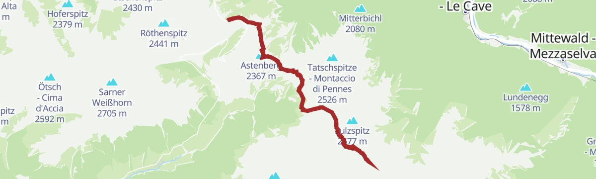
A ridge walk from the Penser Joch over the Astenberg and across the flank to the 2,530 m Tatschspitze.
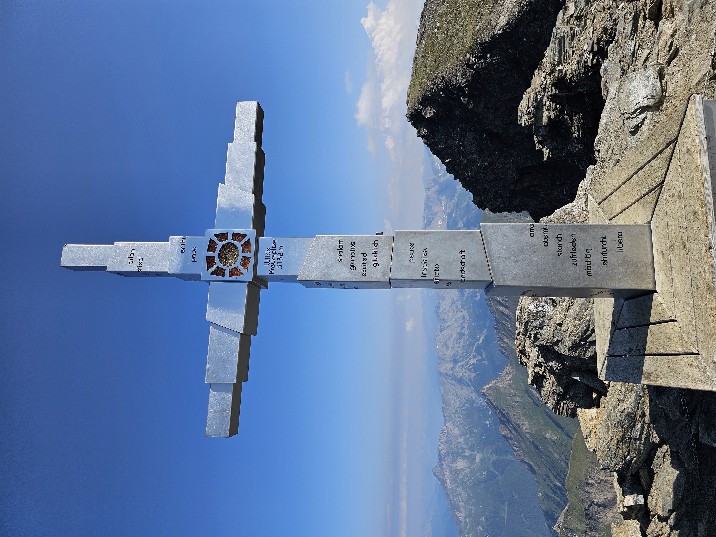
Tatschspitze - Montaccio di Pennes 2 526 m Astenberg 2 367 m Niedereck - Dosso Basso 2 304 m Penser Joch - Passo di Pennes 2 211 m Alpenrosenhof 2 215 mA big day from Niederflans past the Simile Mahd hut, then along the Pfunderer Höhenweg across the Sengesjöchl and the Karjöchl above the Wilder See to the 3,133 m summit.
Wilde Kreuzspitze Südgipfel - Picco della Croce Cima Sud 3 132 m Karjöchl 2 917 m Sengesjöchl - Giogo di Senges 2 660 m Untersenges 1 580 m Kaserplatz 1 990 m Obere Sengesalm 1 670 mA 50 km valley run south from the Brenner on the old railway alignment, through Gossensaß and Sterzing and on towards Vahrn.
Punterbühel 681 m Moidl Hof 1 325 m Gasthof Silbergasser 1 316 m Tourismusverein Sterzing - Associazione Turistica 957 m Biwak 963 m Waldheim 1 081 mA quiet walk from Stilves past the stations of the cross through forest to Bad Möders, an old mineral spring with a chapel beside it.
A ridge walk from the Penser Joch to the Zinseler, an easy top with the Sarntal on one side and the Isarco valley on the other.
Zinseler - Cima di Stilves 2 422 m Gospeneider Jöchl - Giogo di Caspineto 2 300 m Seiterbergjoch 2 159 mA climb from Mauls up trail 10 past the Ritzail farms to the Valler Jöchl and on to the Jochtal lift station.
A long valley run from the medieval centre of Sterzing past the fortress of Franzensfeste down to Klausen, dropping over 400 m overall.
Paterbichl 559 m Senfter 532 m Fürholz 554 m Klausen Informationsbüro - Chiusa 533 m Tourismusverein Sterzing - Associazione Turistica 957 m Work & Office Center Kampan 572 mA two-kilometre path from the Trens cultural centre south to Valgenäun, with boards and hands-on stations on bees and honey.
A walk up the Val di Senges from the Flaner Säge mill to the Malga Simile Mahd, which sells its own grey cheese and butter.
From the Wiesen park up trail 24 to the Gschliessegg viewpoint, then the Pfunderer high trail past the Plitschalm and the Jagerjoechl to the Hoellenkragen at 2,392 m.
Höllenkragen 2 387 m Gschließegg 1 671 m Trenser-Joch-Biwak 1 996 m Jogerjöchl 2 136 m Trenser Joch - Passo di Trens 2 212 m Fluigenalm 1 888 mAn easy loop between Trens and the Maria Trens church along the bee trail, with stations on hives and honey making.
A walk between the two castles at the mouth of the Ridnauntal, Sprechenstein on its rock and Reifenstein below Sterzing.
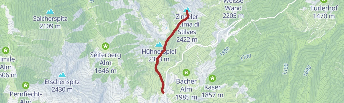
A long climb from Elzenbaum through forest and past farms to the Mandelseitenjoch, finishing along the ridge on the Zinseler.
A walk from Maria Trens by the church of St. Valentin and the Niederflans farms to a wartime bunker with a valley view, then down to Mauls.
A forest climb from Prati to the Gschliessegg viewpoint and on to Sprechenstein castle, which looks down the length of the Vipiteno valley floor.
A long approach from Niederflans past the Simile Mahd hut and over the Sengesjoch, then down to the Wilder See at 2,533 m.
Rauhtaljoch - Passo Val di Nebbia 2 807 m Sengesjöchl - Giogo di Senges 2 660 m Untersenges 1 580 m Kaserplatz 1 990 m Obere Sengesalm 1 670 mThe Eisack promenade south out of Sterzing, then trail 24B up to Sprechenstein castle and trail 24 on to the pilgrimage church of Maria Trens; bus or train back.
A rocky, partly exposed forest path climbing from the pilgrimage church of Maria Trens to the Gschließegg viewpoint above the Sterzing basin.
The full climb from Sterzing on trail 14, past the Rust and Gupp farms to the weather cross at the Mandelseitenjoch and on up the ridge to the Zinseler.
A short climb through the wooded hills at Stilves to the Burgstall knoll above the village.
A forest road up the Egg valley from Pfulters, crossing the stream to the hamlet of Egg at 1,500 m, where two inns serve walkers.
A climb from Stilves up through forest and pasture to the ridge, then west along the crest to the 2,421 m Zinseler.
From the Wiesen public park over the river and up a forest road to Sprechenstein castle, returning on trail 24B and the riverside promenade.
A valley-level circuit from Stilfes to Reifenstein castle and the nearby church of St. Zeno, open to the Wipptal basin for much of the way.
A long climb on trail 5 from Maria Trens past the Partinges farms and the unstaffed Trenser-Joch hut to the grassy crest of the Höllenkragen at 2,392 m.
A short forest circuit beside Mauls, with a view over the Isarco valley from its high point.
A medium hike through the Himmelreich above Freienfeld, in the Wipptal south of Sterzing.
A long climb from Pfulters up the Egg valley, past old military roadworks and the unstaffed Onser hut, to the Puntleider See at 1,850 m with a dairy near the shore.
A forest walk on the Romedisteig linking the village of Mauls with the hamlet of Flans, above the Isarco valley.
A hike from the Maria Trens sanctuary out to the hamlets of Niederflans and Partinges, above the scattered farms of Campo di Trens.
A steady climb from Mules through the hamlet of Flains to the Planer Alm, a working mountain pasture under the Großer Nock.
An easy walk from Stilves on a forest road to the Rofis Boden woodland playground, wide enough throughout for a pushchair.
A circuit on the sunny side of Freienfeld between Trens and Mules, taking in St. Valentine on its ridge above the Isarco and St. Oswald in the village centre.
A long ascent from Mauls through forest and pasture past the unstaffed Gansör hut, finishing over stony ground on the Gansör notch at 2,551 m.
Stoffl 1 263 m Obere Gansöralm 2 301 m Gansörscharte 2 551 m Altkaser 1 778 m Leiten in Gansör 1 404 mA short circuit between Maria Trens and Valgenauna passing the church of St. Valentine, level enough for a pushchair.
An ascent through the woods from Stilves to Egg on trail 15, following the stations of a via crucis, with the return by the same route.
No routes of this kind in Campo di Trens/Freienfeld yet.
Summit
via From Niederflans to the Wilde Kreuzspitze
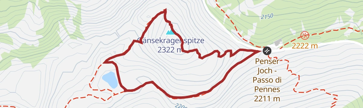
Featured route
A short climb from the Passo Pennes to the small lake below it and on up the Gänsekragen, returning along the eastern ridge.
Everything else Trentino-Alto Adige/Südtirol has, in one place
Every route on this page with 3D terrain, GPX navigation and offline maps — including the valleys with no signal.


