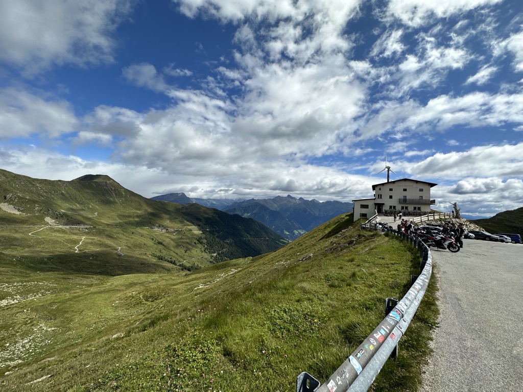
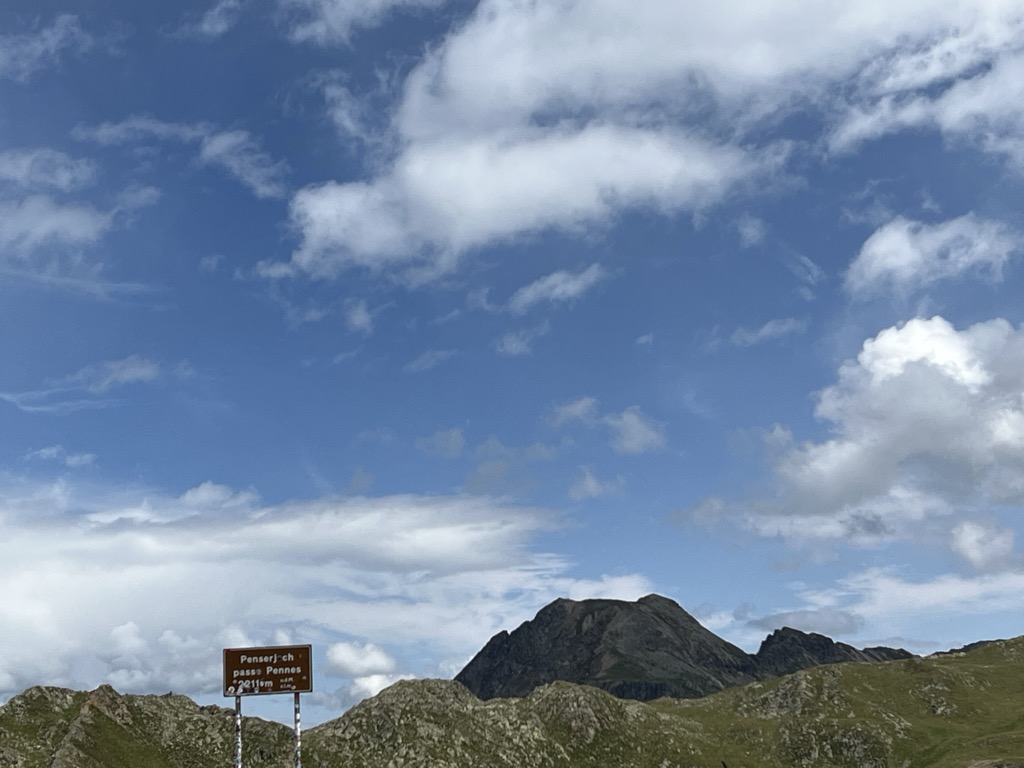
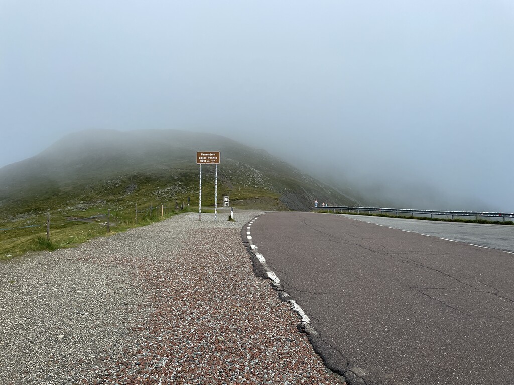
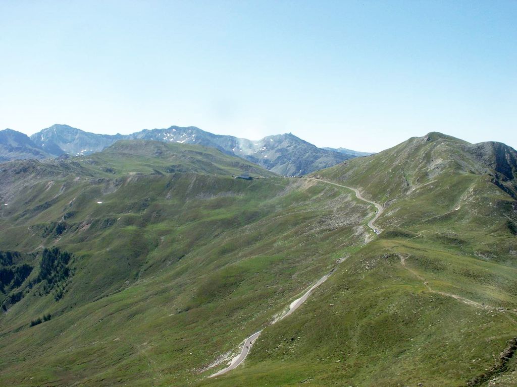
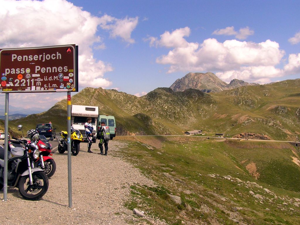
The Penser Joch (Italian: Passo di Pènnes; German: Penser Joch) (2211 m) is a high mountain pass in South Tyrol, northern Italy, near the Jaufenpass. It connects Bolzano via the Sarntal and with Sterzing in the Wipptal. It is the most direct road between Innsbruck and Bolzano. It is traversed by the SS 508 highway, which has a maximum grade of 13 percent. There is a restaurant at the summit. Although, it has been widened repeatedly in recent years, the road is still rather narrow.
We use GPS information embedded into the photo when it is available.
3D mountains overlay
Adjust mountain panorama to perfectly match your photos because recorded by camera photo position might be imprecise.
Move tool
Rotate tool
Zoom
More customization
Choose which peak labels should make into the final photo and what photo title should be.
Next
Photo Location
Satellitte
Flat map
Relief map
Latitude
Longitude
Altitude
OR
Latitude
°'''
Longitude
°'''
Apply
Register Peak
Peak Name
Latitude
Longitude
Altitude
Register
Teleport
PeakVisor
This 3D model of Sagarmatha National Park in Nepal was made using the PeakVisor app topographic data. The mobile app features higher precision models worldwide, more topographic details, and works offline. Download PeakVisor maps today.
Download OBJ model
PeakVisor
The download should start shortly. If you find it useful please consider supporting the PeakVisor app.
PeakVisor for iOS and Android
Be a superhero of outdoor navigation with state-of-the-art 3D maps and mountain identification in the palm of your hand!