
 Cable car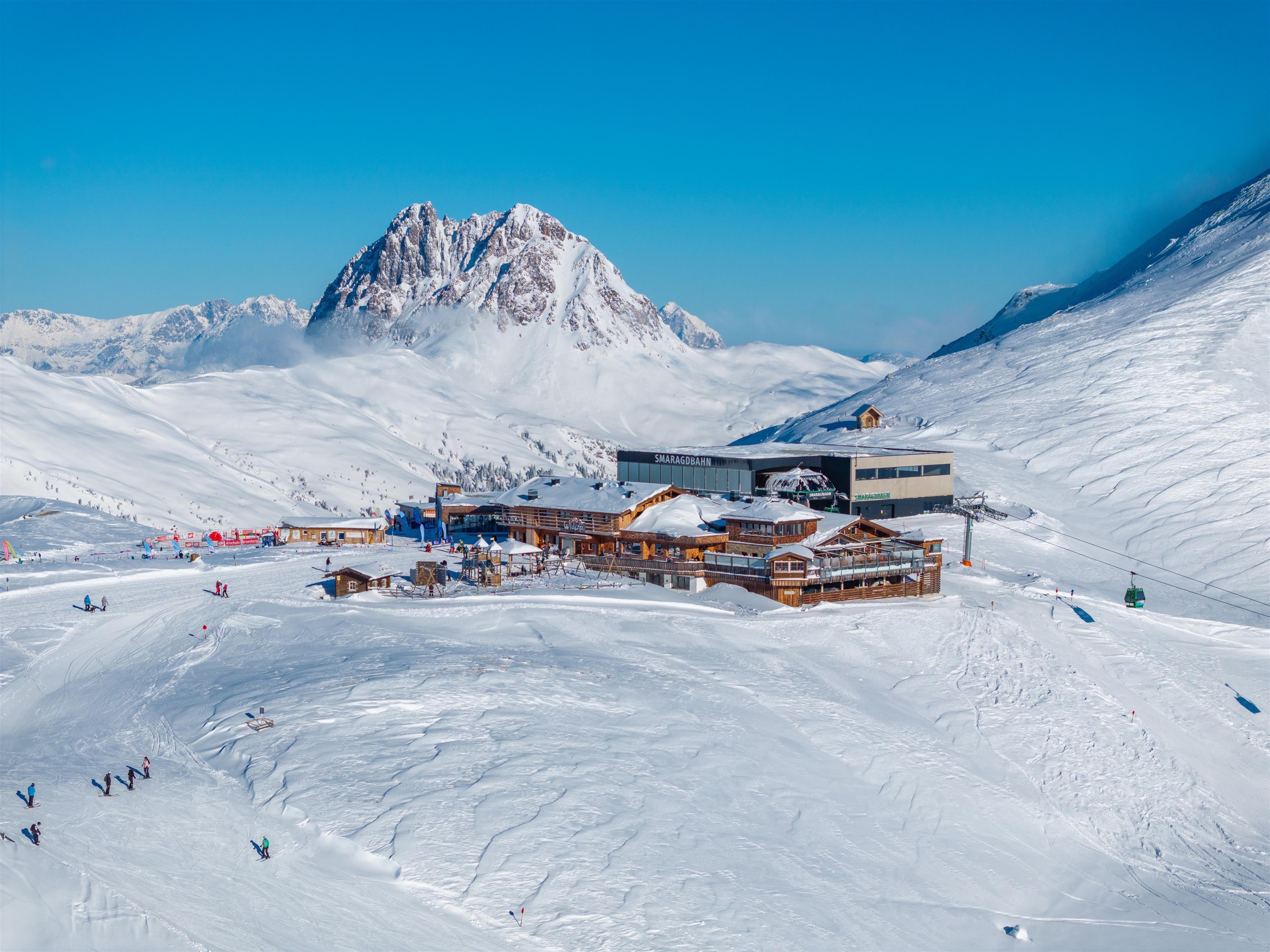





















Curated by Wildkogel-Arena
Bramberg am Wildkogel
A Salzachtal village of the Oberpinzgau at just over 800 m, one of the Hohe Tauern national park communities, with the Wildkogel lifts on the slope above.
Photo: Arne Müseler licence
- 40Highlights
- 70Routes
- Featured summit · Großer Rettenstein
Highlights
The 20 highest-rated · see the rest on wildkogel-arena.at ↗
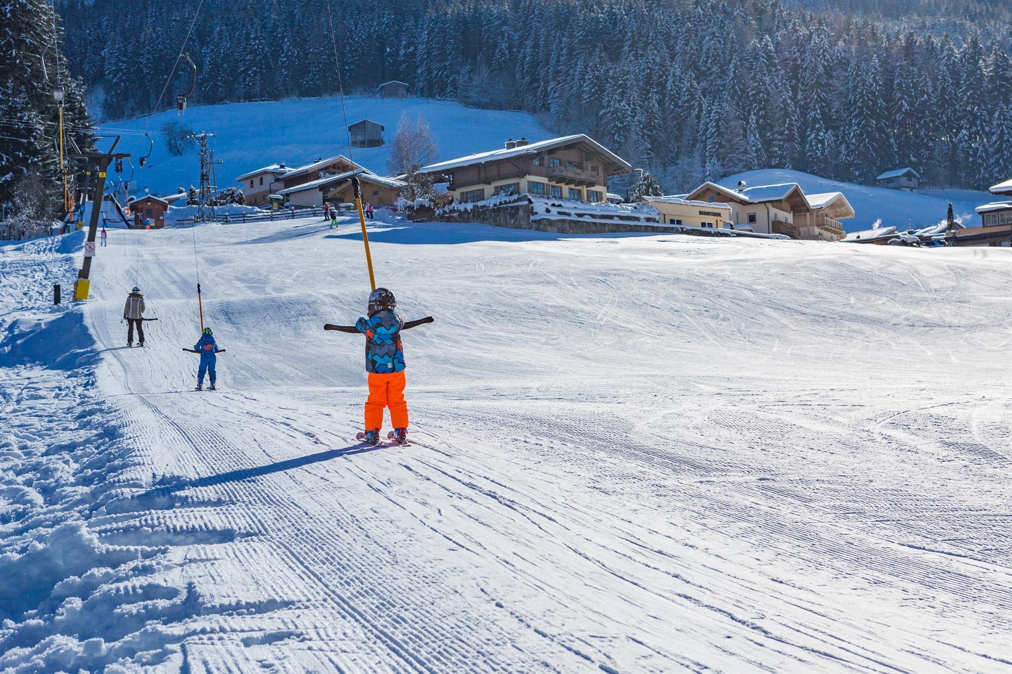
Schnupper-Langlaufen in der Ferienregion Nationalpark Hohe Tauern
An introductory cross-country skiing offer in the Hohe Tauern national park holiday region around Bramberg in the Pinzgau.
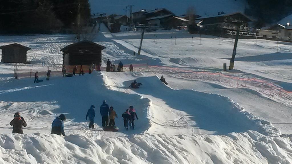
Snowtubingbahn beim Wennsergletscher
A snow tubing run beside the slope known as the Wennsergletscher at Bramberg am Wildkogel in the Pinzgau.
Wennsergletscher
A practice slope at Bramberg am Wildkogel in the Pinzgau known as the Wennsergletscher, used for winter play and tubing.
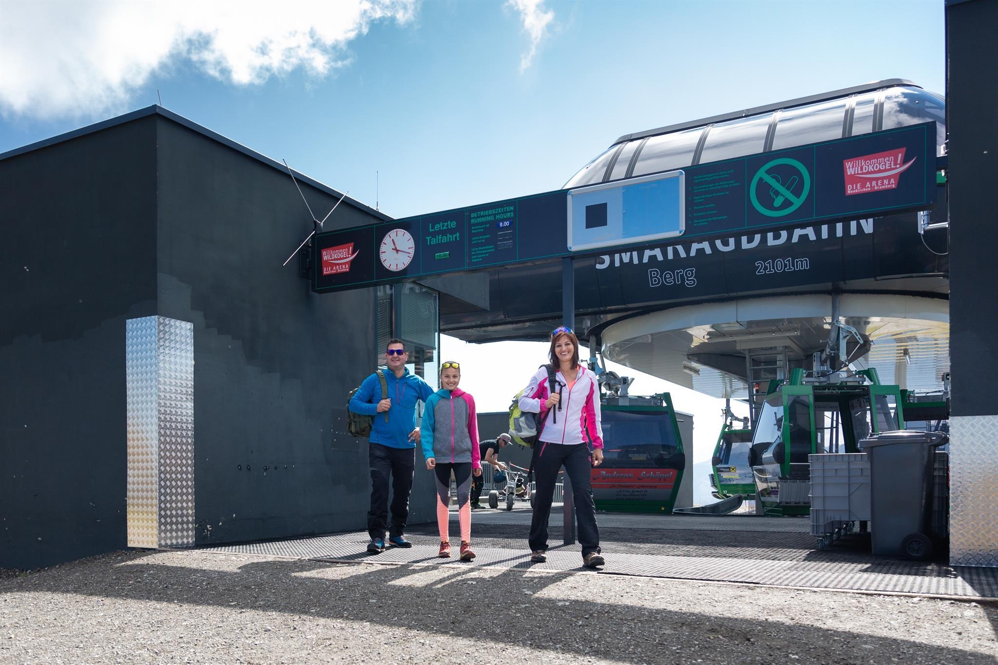
Smaragdbahn Sommer
The Smaragdbahn gondola at Bramberg am Wildkogel in summer, carrying walkers up towards the Wildkogel above the Pinzgau.
Smaragdbahn Winter
The Smaragdbahn gondola at Bramberg am Wildkogel in winter, the main lift into the Wildkogel-Arena ski area.
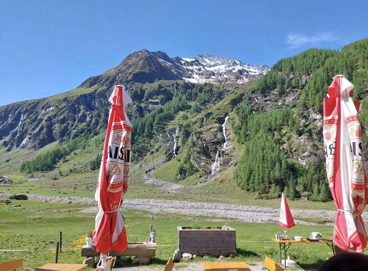
Alte Moa-Alm 1.410 m im Habachtal
A pasture inn at 1,410 m in the Habachtal, the emerald valley south of Bramberg, on the way in towards the Hohe Tauern.
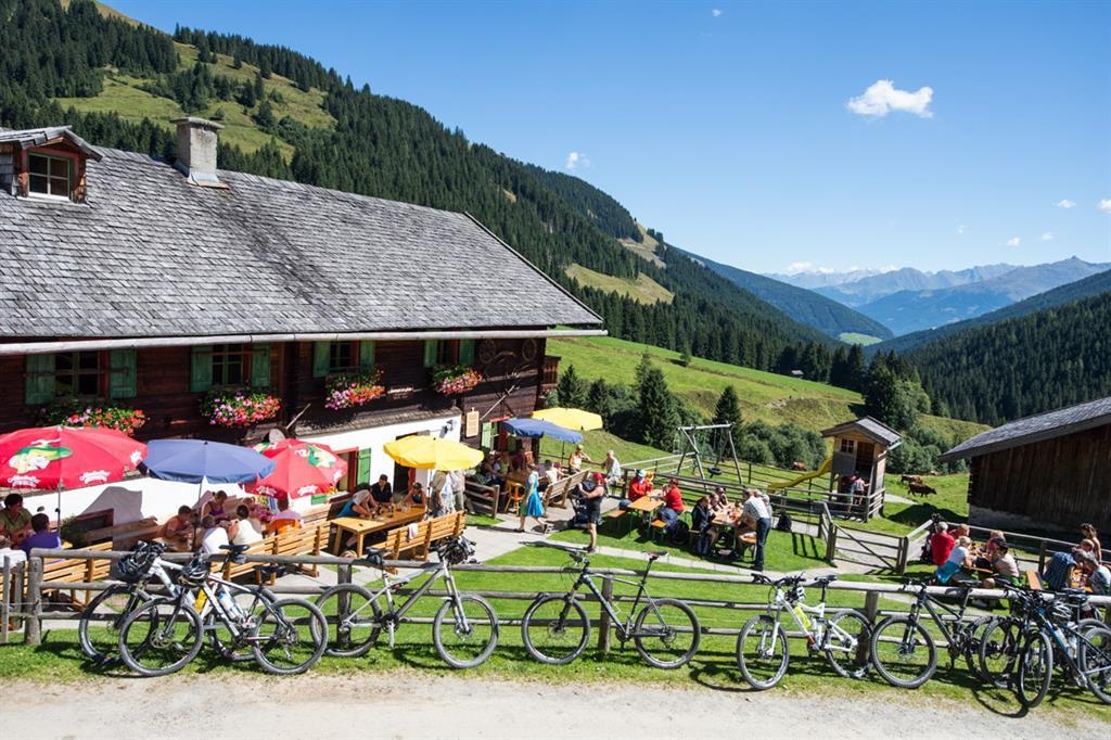
Baumgartenalm 1.402 m im Mühlbachtal
An alpine pasture inn at 1,402 m in the Mühlbachtal above Bramberg, serving regional food to walkers.
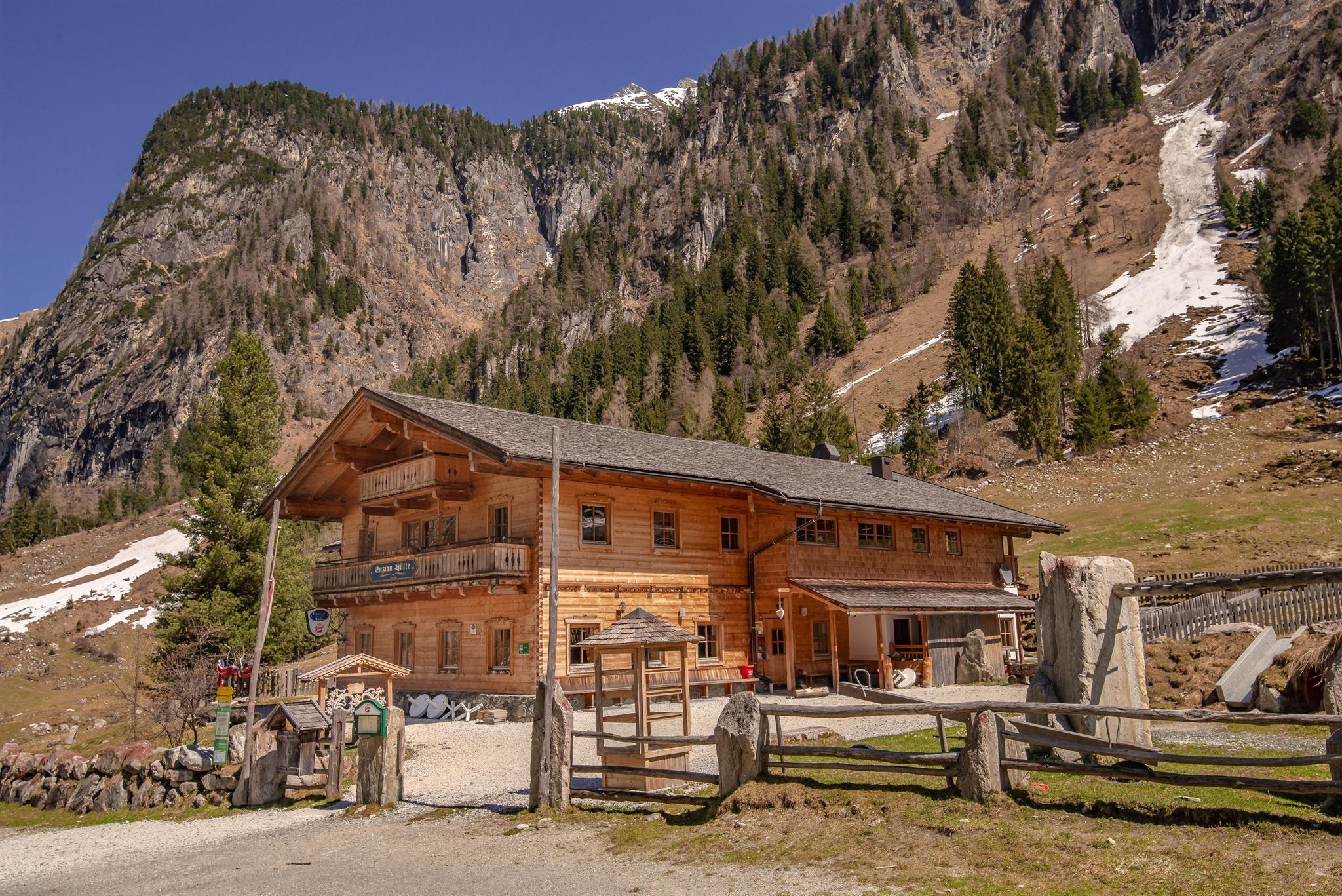
Enzianhütte 1.312 m im Habachtal
A hut at 1,312 m in the Habachtal south of Bramberg, serving walkers on the way up the valley.
Gasthof Wolkenstein
An inn on the slopes above Bramberg am Wildkogel, open to walkers in summer and skiers in winter.
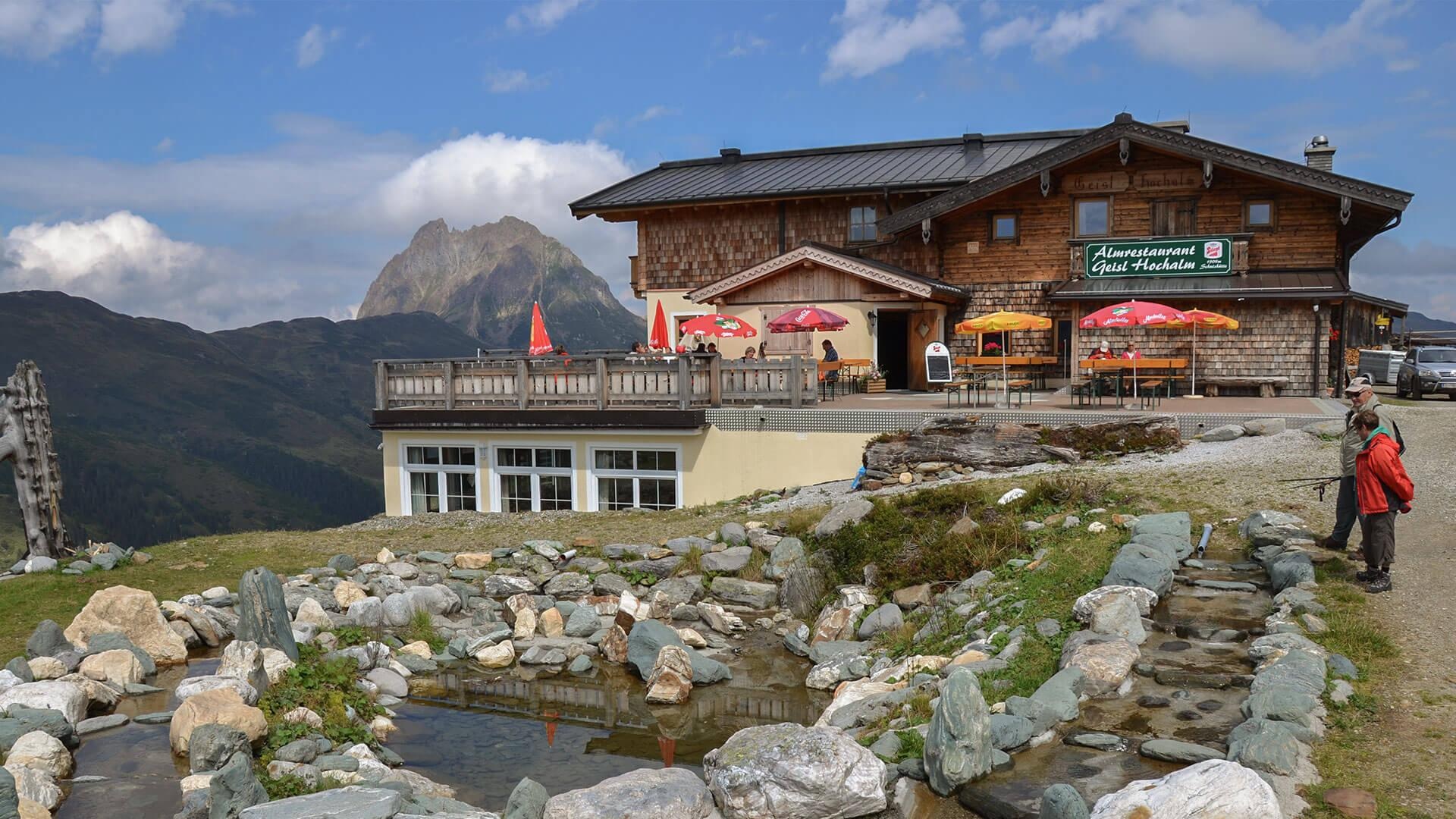
Geisl-Hochalm 1.904 m am Wildkogel
A mountain restaurant at 1,904 m on the Wildkogel above Bramberg, on the pistes and summer trails of the Wildkogel-Arena.
Smaragd-Express Habachtal
A shuttle service from Bramberg into the Habachtal, the Hohe Tauern side valley long known for its emerald deposits.
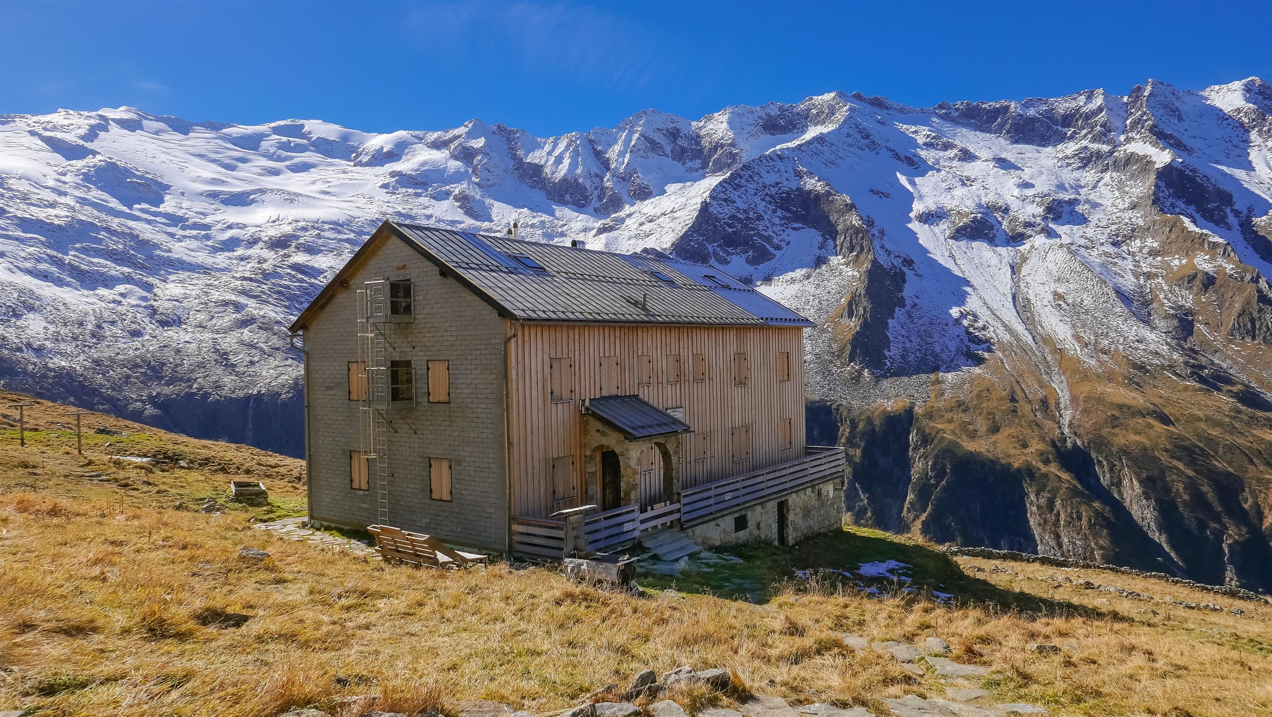
Thüringer Hütte 2.240 m im Habachtal
An alpine club hut at 2,240 m at the head of the Habachtal, a base for walks in the Hohe Tauern above Bramberg.
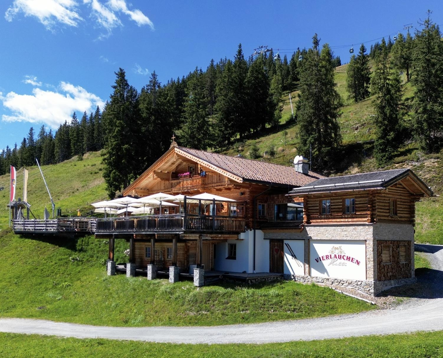
Vierlauchenhütte 1.624 m am Wildkogel
A hut at 1,624 m on the Wildkogel above Bramberg, a stop on the pistes and on the summer trails to the top.
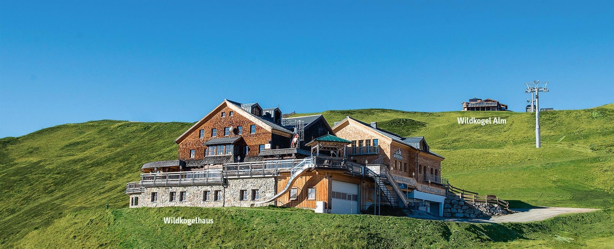
Wildkogel Alm 2.005 m am Wildkogel
A mountain restaurant at 2,005 m on the Wildkogel, serving regional dishes at the top of the Wildkogel-Arena lifts.
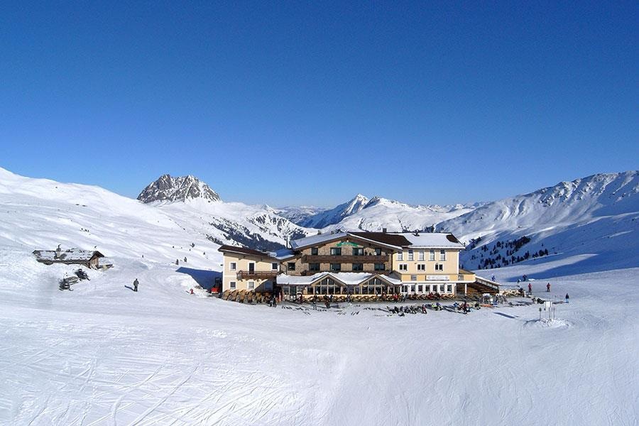
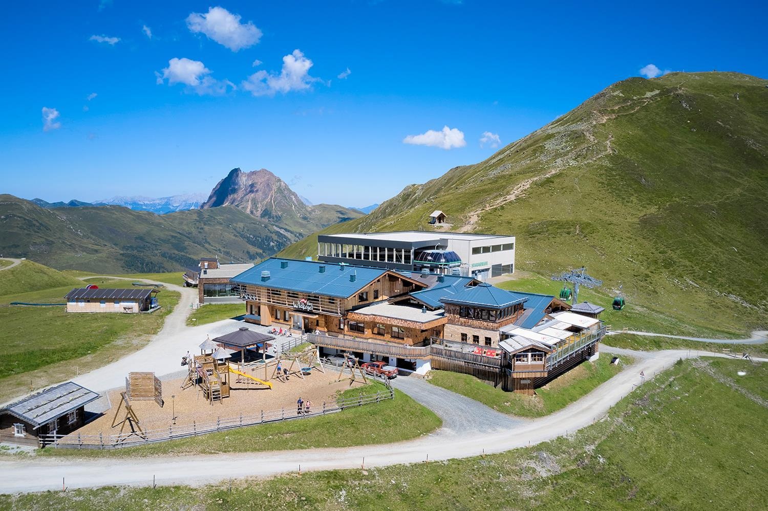
Wildkogelhaus
A mountain restaurant near the top of the Wildkogel above Bramberg, at the hub of the Wildkogel-Arena pistes and trails.
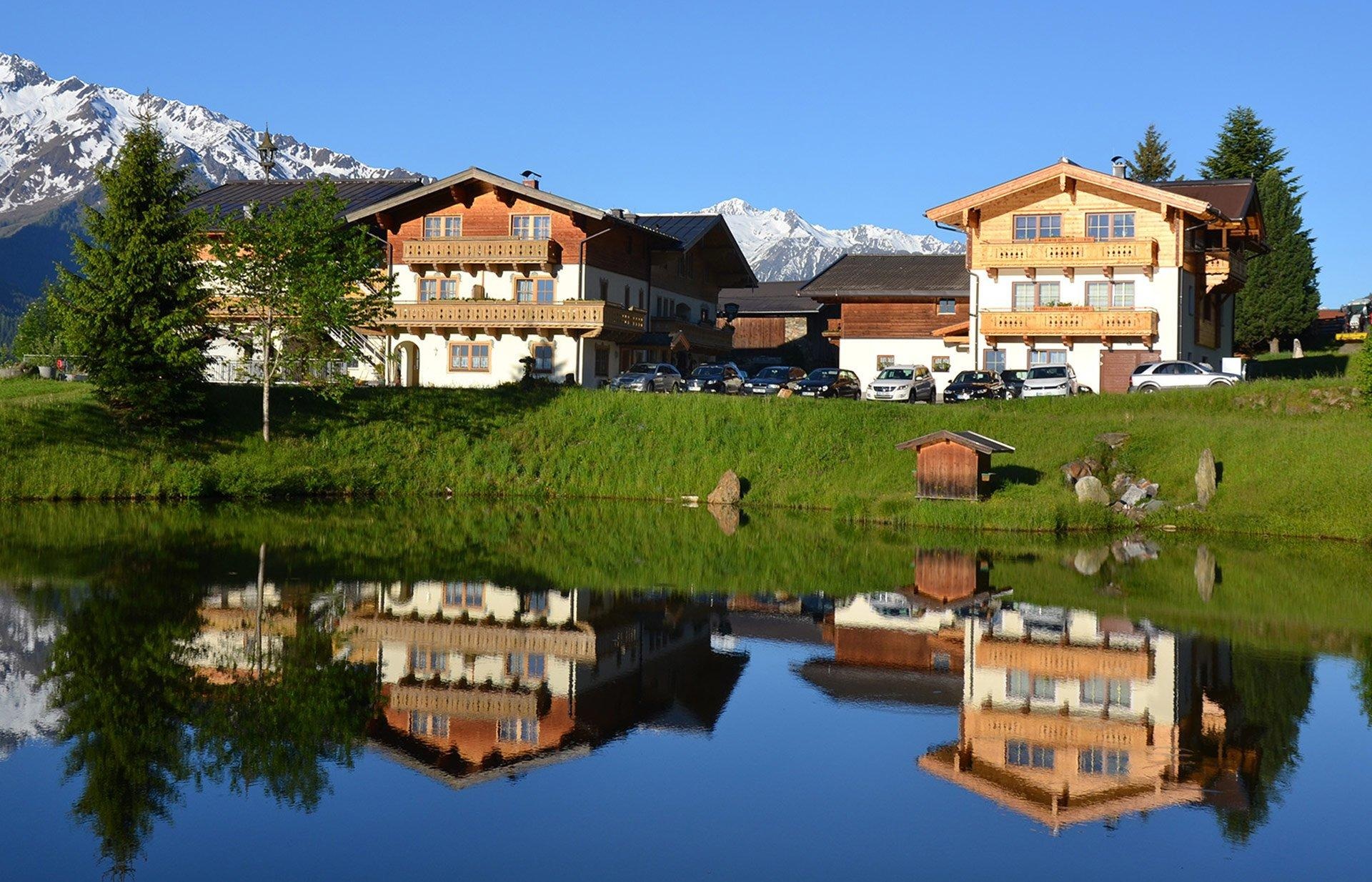
Angelteich Gasthof Geisl
A fishing pond at the Gasthof Geisl near Bramberg am Wildkogel in the Pinzgau, open to anglers.
Bergbahnen Wildkogel
The lift company on the Wildkogel above Bramberg and Neukirchen, running the gondolas into the Wildkogel-Arena.
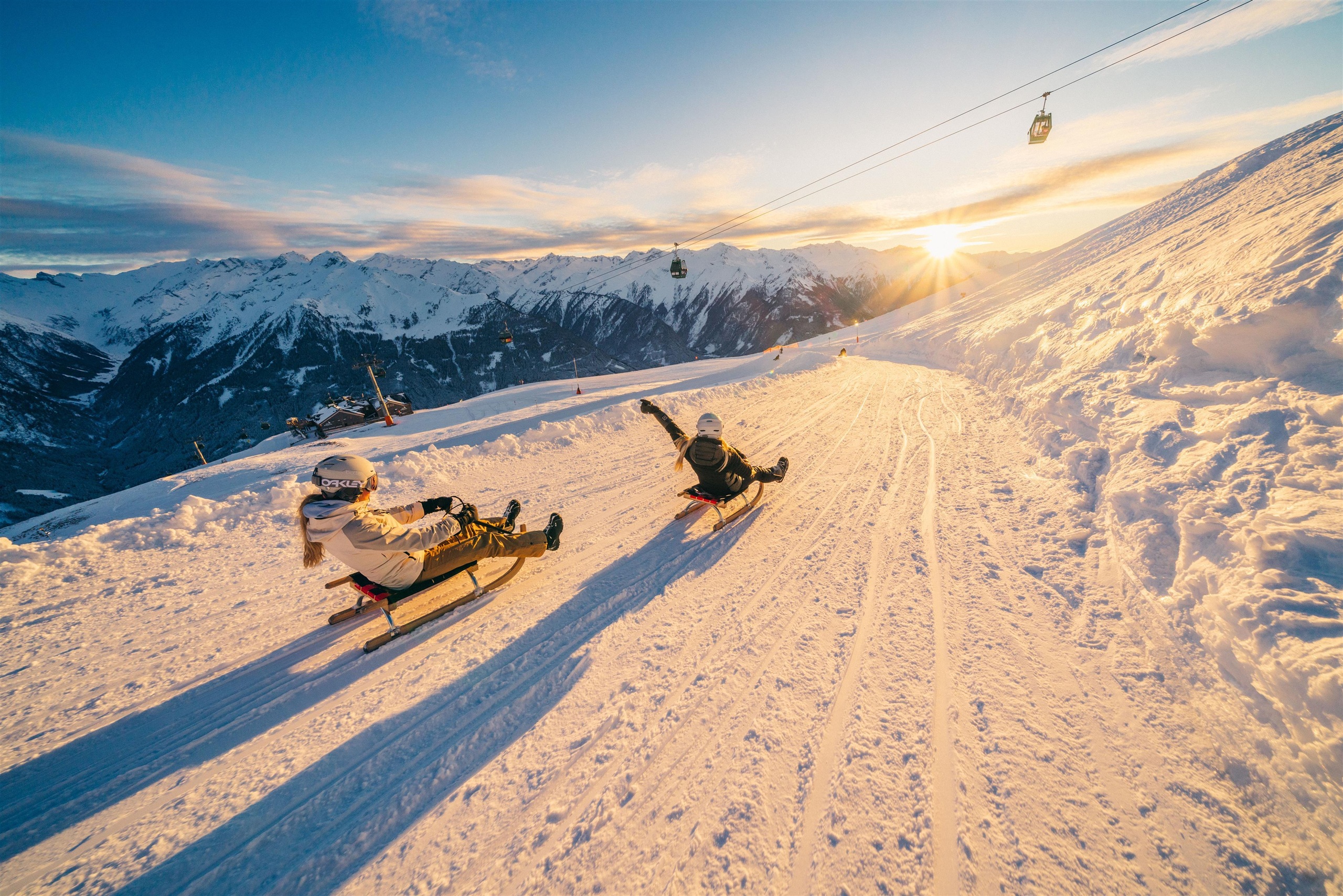
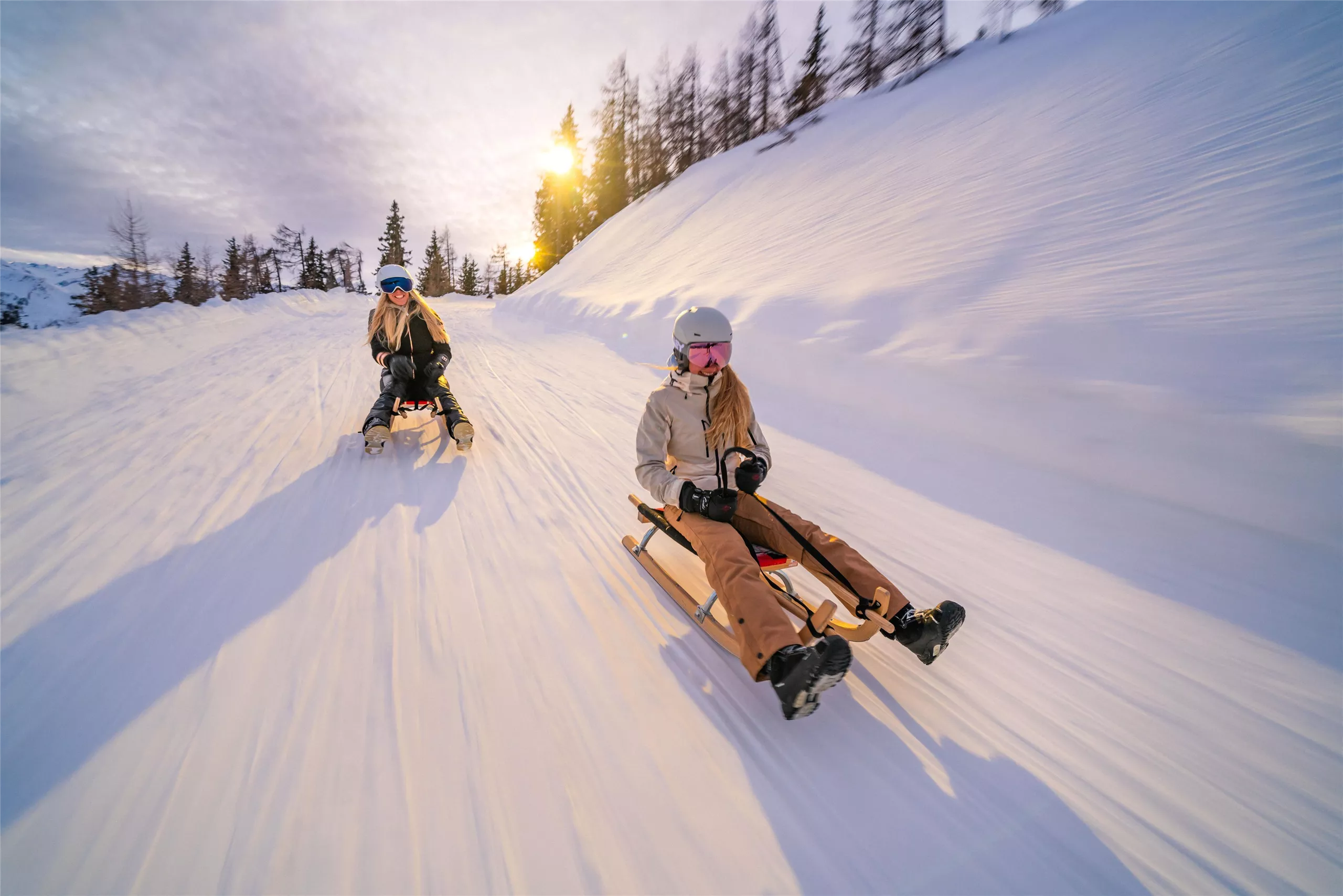
Die längste beleuchtete Rodelbahn der Welt
A floodlit toboggan run of about 14 km from the Wildkogel down to the Pinzgau valley, open on winter evenings.
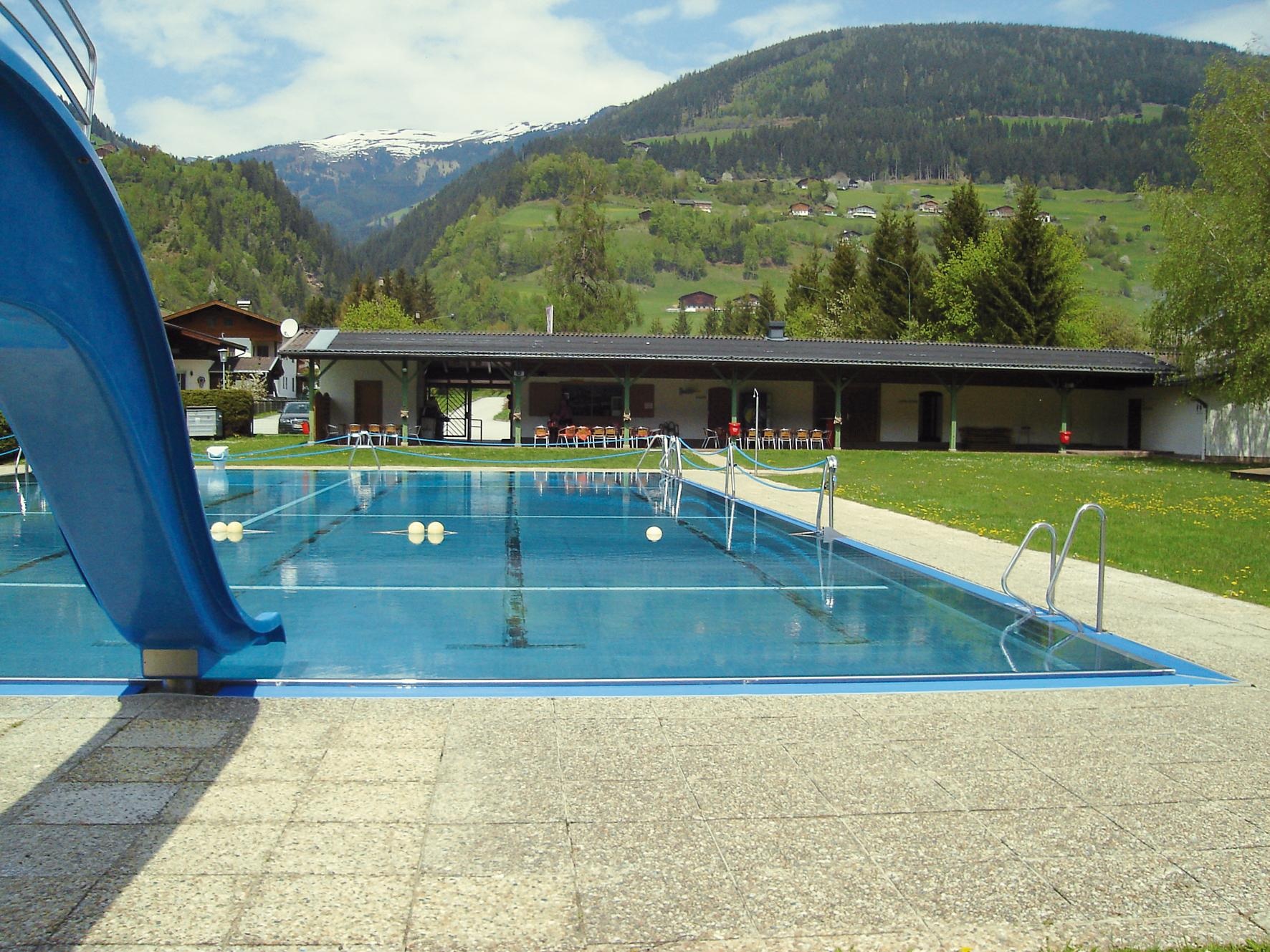
Freibad Mühlbach
The open-air swimming pool at Mühlbach, part of Bramberg am Wildkogel in the Oberpinzgau.
Frühlingsrodelbahn A5
A spring toboggan run on the Wildkogel above Bramberg, kept open on the A5 piste late in the season.
Nothing of this kind in Bramberg am Wildkogel.
Routes
50 routes, an even mix of activities · see the rest on wildkogel-arena.at ↗
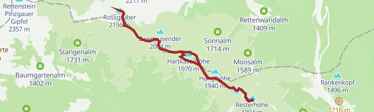
Hollersbach: Panoramaalm
An easy ridge walk from the Resterhöhe over the Hartkaserhöhe to the Panoramaalm, passing the Resterhöhe reservoir.
- 6.2 km
- Distance
- 218 m
- Ascent
- 1 h 60 min
- Duration
- 92
- Check-ins
Neukirchen: Walsbergalm-Rundweg
A 2.5-hour round from the gondola top over the Wildkogel, taking in the Wildkogel Alm, the Wildkogel Haus and the arena reservoir before dropping back to the lift.
- 7.1 km
- Distance
- 361 m
- Ascent
- 2 h 37 min
- Duration
- 103
- Check-ins
Etappe 9: Alpina Antica Trail | ET9: Wildkogelbahn - Hollersbach
Two halves in one long day: an open grassy ridge traverse of the Wildkogel that stays above 1,750 m, then a sustained descent into the Salzach valley to finish at Hollersbach.
- 15.1 km
- Distance
- 262 m
- Ascent
- 5 h 28 min
- Duration
- 85
- Check-ins
Bramberg: 4E Stangenjoch
A short link on forest roads from the Baumgartenalm up past the Stangenalm to the saddle at 1,713 m.
- 3.8 km
- Distance
- 330 m
- Ascent
- 34 min
- Duration
- 2
- Check-ins
Bramberg: 4B Habachtal
A forest-road climb from Bramberg into the Habachtal, past the Enzianhütte and Hauseralm to the Moaalm at 1,410 m.
- 11.2 km
- Distance
- 604 m
- Ascent
- 1 h 22 min
- Duration
- 42
- Check-ins
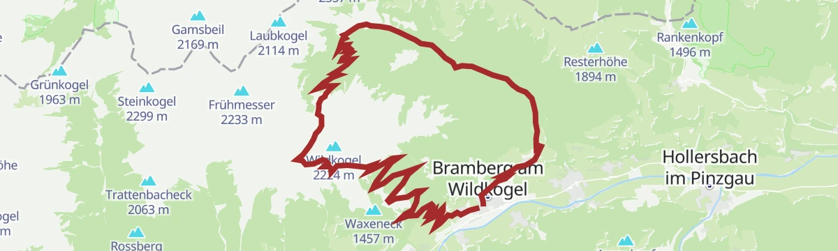
Bramberg: 4H, 3D, 4A, 4B Bramberg - Wildkogel -Steineralm
A long circuit from the valley floor up to the Wildkogel ridge, passing the Speichersee at 2,098 m and the Wildkogel Alm before the drop home.
- 34.9 km
- Distance
- 1 322 m
- Ascent
- 4 h 20 min
- Duration
- 113
- Check-ins
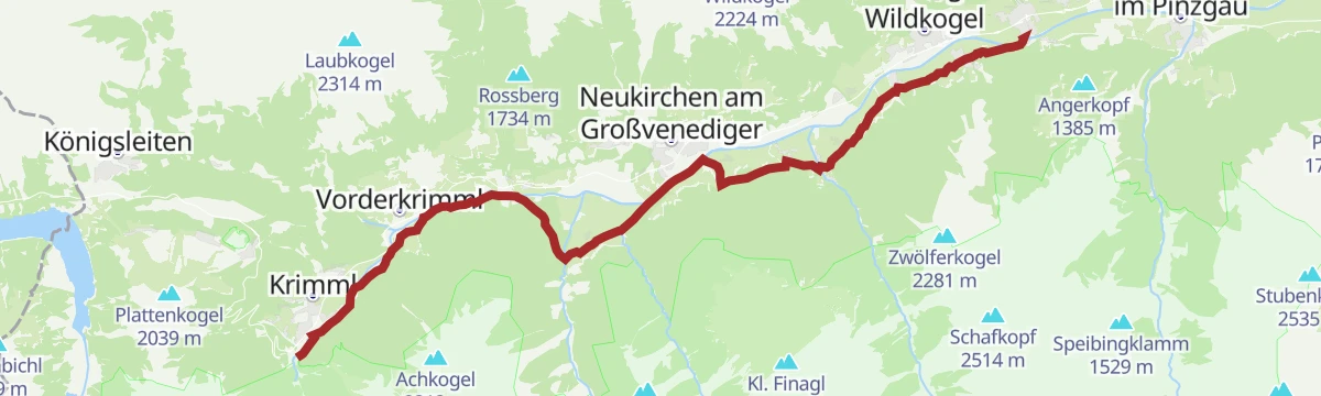
Radtour von Zell am See - Krimml
A long valley ride up the Salzach from Zell am See through Mittersill and Wald to Krimml, at the head of the Oberpinzgau.
- 67.1 km
- Distance
- 741 m
- Ascent
- 6 h 39 min
- Duration
- 24
- Check-ins
 Bergschmied 817 m
 Tagesspeicher Krimmler Ache 1 048 m
- Tourismusinfo Mittersill-Hollersbach-Stuhlfelden 786 m
- Einödhof 768 m
- Rechenmacherhütte 826 m
- Tourismusverband Wald-Königsleiten 875 m
- +5
Bramberg: Smaragdbahnweg zur Mittelstation
Downhill link on path 17b from the top station of the Smaragdbahn to the middle station, passing the Wildkogel Alm.
- 2.9 km
- Distance
- 10 m
- Ascent
- 1 h 17 min
- Duration
- 47
- Check-ins
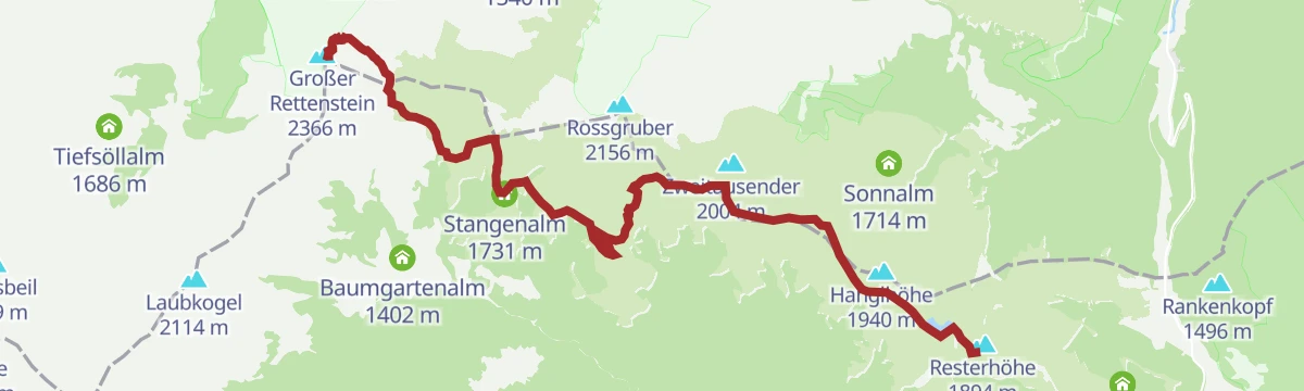
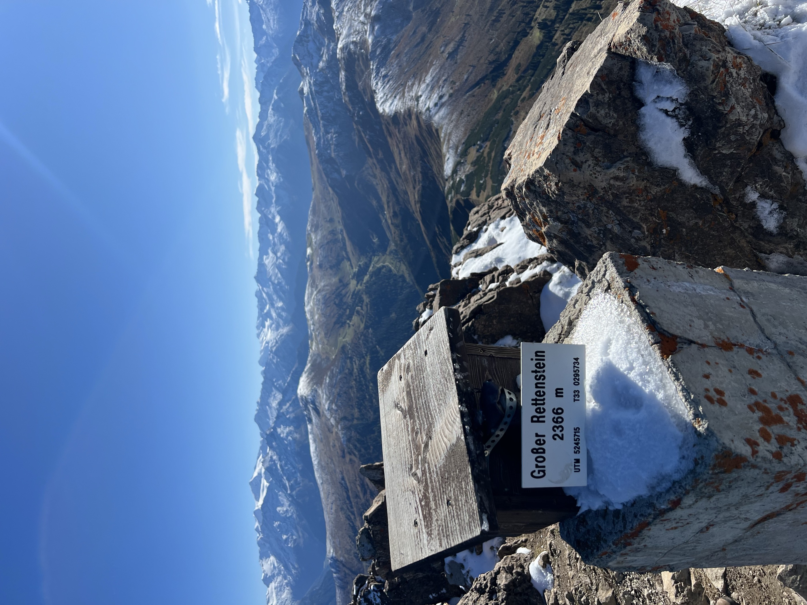
Mittersill: Großer Rettenstein
From the Resterhöhe over the Schöntaljoch and Stangenjoch to the 2,366 m Großer Rettenstein, the most distinctive rock summit in the Kitzbüheler Alpen.
- 11.1 km
- Distance
- 846 m
- Ascent
- 4 h 39 min
- Duration
- 101
- Check-ins
Hollersbach: Baumgartenalm Wegnr. 9, 61, 63, 714
From the Panoramabahn top station over the Resterhöhe and the Latschinger Kogl, a two-thousander, then down to the Baumgartenalm in the Mühlbachtal.
- 17.3 km
- Distance
- 250 m
- Ascent
- 5 h 23 min
- Duration
- 75
- Check-ins
Bramberg: 4F Baumgartenalm - Geisl-Hochalm - Bergstation Wildkogelbahn
A forest-road climb on the Wildkogel from 1,400 m to the lift top at 2,086 m, passing the Ganzeralm and the Ramba Zambar hut.
- 8.2 km
- Distance
- 752 m
- Ascent
- 1 h 18 min
- Duration
- 22
- Check-ins
EPIC 360° Zweitausender Tour
A 60 km day on forest roads above Jochberg, over the Gauxjoch and the Hartkaserhöhe to the Panoramaalm just under 2,000 m.
- 60.6 km
- Distance
- 2 083 m
- Ascent
- 7 h 21 min
- Duration
- 110
- Check-ins
Neukirchen/Bramberg: 3-Seen-Rundweg
A short circuit from the Wildkogelbahn mountain station on waymarked paths 13 and 17, passing the ski arena's storage lake and the Gensbichlscharte, all of it above 2,000 m.
- 5.5 km
- Distance
- 136 m
- Ascent
- 1 h 37 min
- Duration
- 44
- Check-ins
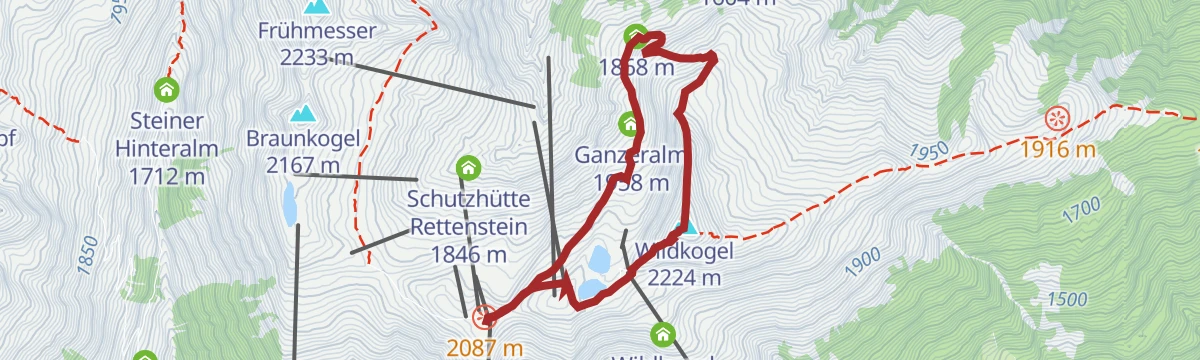
Neukirchen: Wildkogel Panoramaweg
A two-hour round over the 2,224 m Wildkogel, curving past the Geisl Hochalm and the Ganzeralm before returning to the Wildkogelbahn mountain station.
- 6.1 km
- Distance
- 357 m
- Ascent
- 2 h 29 min
- Duration
- 96
- Check-ins
Hohe Tauern Panorama Trail Etappe 4: Wildkogel
Stage four climbs the Frühmesser and the Grasleitkopf, whose summits look across to the Großvenediger, then descends by the Gensbichlscharte to the Steineralm and Rechtegg.
- 12.7 km
- Distance
- 1 061 m
- Ascent
- 5 h 13 min
- Duration
- 59
- Check-ins
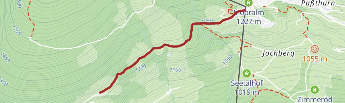
Bramberg: 4C Pass Thurn
A short climb on forest roads out of Bramberg to the Mooralm at 1,225 m, beside the mid-station of the Panoramabahn Kitzbüheler Alpen.
- 5.7 km
- Distance
- 398 m
- Ascent
- 44 min
- Duration
- 20
- Check-ins
Neukirchen: 3G, 3D, 4K, 4B, 4A, Bike-Trail Wildkogel
A long mountain-bike link above Neukirchen, climbing to the Wildkogel Alm and the Gensbichlscharte before dropping past Schweini's Downhill Bar.
- 32.1 km
- Distance
- 1 298 m
- Ascent
- 4 h 4 min
- Duration
- 82
- Check-ins
Bramberg: Höhenwanderweg Breitmoos
Level two-kilometre traverse on the Mühlbacher Sonnberg, passing the Mooralm at around 1,200 m.
- 2.0 km
- Distance
- 20 m
- Ascent
- 30 min
- Duration
- 20
- Check-ins
Resterhöhe - Baumgartenalm
About three and a half hours one way from the Panoramabahn top station: waymarks 61, 61A and 4E lead over ground at 2,156 m and down to the Baumgartenalm.
- 11.6 km
- Distance
- 285 m
- Ascent
- 3 h 52 min
- Duration
- 95
- Check-ins
Neukirchen: Höhensteig
A six-hour ridge chain from the lift top over the Frühmesser, Steinkogel, Geige and Speikkogel, crossing the Geigenscharte before the long drop to the valley.
- 16.9 km
- Distance
- 494 m
- Ascent
- 6 h 45 min
- Duration
- 59
- Check-ins
Bramberg: 4G Baumgartenalm - Flecklalm -Bergstation Wildkogelbahn
A second way up the Wildkogel to the top station at 2,086 m, this one by way of the Schutzhütte Rettenstein and the Braunkogel lift.
- 8.4 km
- Distance
- 774 m
- Ascent
- 1 h 21 min
- Duration
- 16
- Check-ins
Bramberg: 4K Wildkogelrunde
A full circuit of the Wildkogel from Bramberg, taking in the Geisl Hochalm, the Ganzeralm and the huts at just over 2,000 m.
- 30.5 km
- Distance
- 1 368 m
- Ascent
- 3 h 60 min
- Duration
- 74
- Check-ins
Bramberg: Ambrosius Rundweg
Short loop from the middle station of the Smaragdbahn past the Vierlauchenhütte to the Ambrosius chapel, all of it above 1,880 m.
- 2.7 km
- Distance
- 194 m
- Ascent
- 1 h 17 min
- Duration
- 6
- Check-ins
Mittersill: Roßgruber Wegnr. 61A
A ridge line from the Resterhöhe over the Hartkaserhöhe and Latschinger Kogl to the Rossgruber, 11 km with 530 m of climbing.
- 11.2 km
- Distance
- 479 m
- Ascent
- 3 h 49 min
- Duration
- 88
- Check-ins
Neukirchen: Bergstation Wildkogelbahn - Steinkogel - Steineralm
Nearly six hours on path 11A over the Frühmesser, Steinkogel, Geige and Speikkogel, with the Geigenscharte between them and a 1,400 m descent to the valley at the end.
- 16.8 km
- Distance
- 472 m
- Ascent
- 6 h 35 min
- Duration
- 58
- Check-ins
Neukirchen: 4A Salzachradweg
A near-level route along the Salzach through the Oberpinzgau, starting from the tourist office in Neukirchen am Großvenediger.
- 13.0 km
- Distance
- 21 m
- Ascent
- 1 h 11 min
- Duration
- 2
- Check-ins
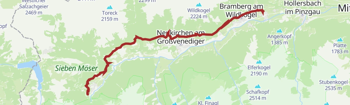
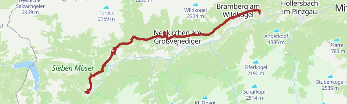
Neukirchen: 3G, 3D, 4F, 4D, 4B, 4A, Neukirchen - Wildkogel - Baumgartenalm
A 37 km traverse of the Wildkogel from Neukirchen to Bramberg, over the Gensbichlscharte at 2,021 m and past the Geisl Hochalm.
- 37.0 km
- Distance
- 1 432 m
- Ascent
- 4 h 38 min
- Duration
- 60
- Check-ins
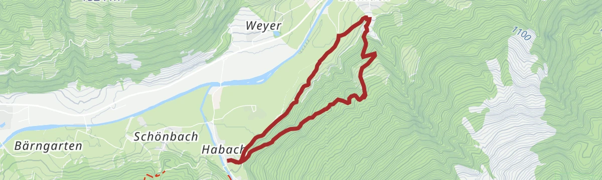
Bramberg: Dorfer Trattn Rundweg
Easy round from Mühlbach im Pinzgau on paths 57 and 21, staying between about 830 and 1,020 m.
- 6.5 km
- Distance
- 225 m
- Ascent
- 2 h 5 min
- Duration
Neukirchen: Wildkogel und Filzenhöhe
Mostly a descent rather than a climb: over the Wildkogel and then down 1,400 m of waymarked paths to the valley floor at 820 m, about four hours in all.
- 11.1 km
- Distance
- 149 m
- Ascent
- 4 h 23 min
- Duration
- 85
- Check-ins
Bramberg: Larmkogel
A three-thousander day out of the Habachtal: 1,649 m of climbing by the Moaalm and the Larmkogelscharte to the top of the Larmkogel.
- 9.1 km
- Distance
- 1 646 m
- Ascent
- 6 h 18 min
- Duration
- 17
- Check-ins
Bramberg: 4D Mühlbachtal
A steady climb from the village at 817 m up the Mühlbachtal to the Baumgartenalm at 1,402 m above Bramberg.
- 10.1 km
- Distance
- 653 m
- Ascent
- 1 h 18 min
- Duration
Neukirchen: 3G, 3D, 4G, 4F, Rundweg Neukirchen - Geisl-Hochalm über Haferlalm
A circuit with more than 2,000 m of climbing across the Wildkogel, taking in the Gensbichlscharte, the Ganzeralm and the Schutzhütte Rettenstein.
- 39.2 km
- Distance
- 2 027 m
- Ascent
- 5 h 34 min
- Duration
- 57
- Check-ins
Bramberg: Neureith Rundweg
Easy valley loop from the Habach part of Bramberg, 5.6 km rising gently from 846 m to about 1,070 m.
- 5.6 km
- Distance
- 242 m
- Ascent
- 1 h 55 min
- Duration
Neukirchen: Geislalmweg
An alm traverse that loses more height than it gains, running from the gondola top past the Geisl Hochalm and Ganzeralm to the Baumgartenalm at 1,365 m.
- 8.7 km
- Distance
- 72 m
- Ascent
- 2 h 51 min
- Duration
- 67
- Check-ins
Sonnenweg von Krimml bis Mühlbach
A 26 km traverse along the sunny flank of the valley from Krimml through Wald and Neukirchen to Mühlbach, facing the Hohe Tauern the whole way.
- 26.6 km
- Distance
- 1 460 m
- Ascent
- 10 h 52 min
- Duration
- 16
- Check-ins
Bramberg: Kargrundalm
A forest-road climb from Bramberg am Wildkogel up to the alm pastures at the valley head, some 780 m of height in under 10 km.
- 10.0 km
- Distance
- 768 m
- Ascent
- 1 h 21 min
- Duration
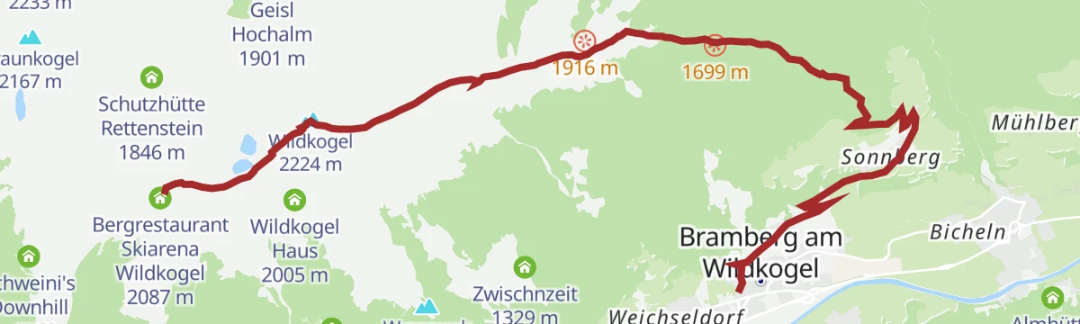
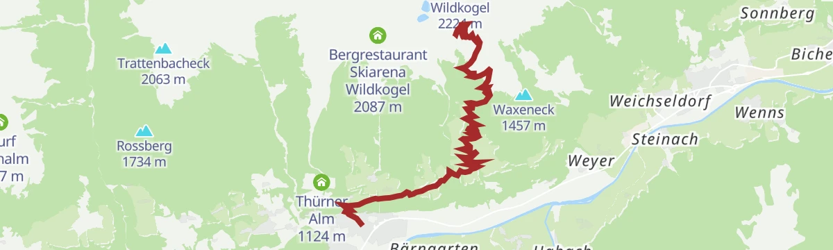
Bramberg: 4H - Bergstation Smaragdbahn
A climb of nearly 1,300 m from Bramberg at 817 m to the Wildkogel Alm at 2,095 m, finishing at the top of the Smaragdbahn.
- 13.2 km
- Distance
- 1 270 m
- Ascent
- 2 h 5 min
- Duration
- 56
- Check-ins
Bramberg: Smaragdwanderweg
Family-friendly 6 km link between the Bramberg hamlets of Mühlbach and Habach, with only 158 m of climbing.
- 6.1 km
- Distance
- 157 m
- Ascent
- 1 h 47 min
- Duration
Neukirchen: Kogelweg
A long, almost entirely downhill line from the Wildkogel ridge past the Rechenmacherhütte to the Salzach valley floor, ending some 1,300 m below the start.
- 12.3 km
- Distance
- 52 m
- Ascent
- 4 h 11 min
- Duration
- 62
- Check-ins
Bramberg: Großer Rettenstein
Climb from the Mühlbacher Sonnberg by the Baumgartenalm and the Schöntaljoch to the rocky top of the Großer Rettenstein at 2,366 m.
- 10.8 km
- Distance
- 1 260 m
- Ascent
- 5 h 23 min
- Duration
- 13
- Check-ins
Bramberg: 4L 2000er Runde
A long ride over the Hartkaserhöhe and the Resterhöhe reservoir to the Panoramaalm, staying near the 2,000 m mark for much of the way.
- 30.6 km
- Distance
- 1 269 m
- Ascent
- 3 h 55 min
- Duration
- 50
- Check-ins
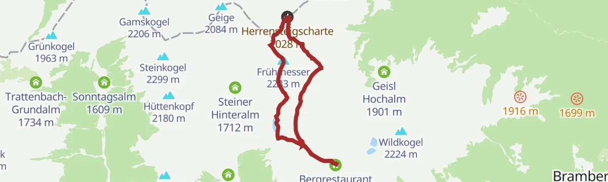
Neukirchen: Bergstation Wildkogelbahn - Frühmesser - Steineralm
Four hours along the ridge from the gondola over the Frühmesser and Grasleitkopf, touching 2,299 m and crossing the Herrensteigscharte on the way down to the Steineralm.
- 9.1 km
- Distance
- 321 m
- Ascent
- 3 h 35 min
- Duration
- 54
- Check-ins
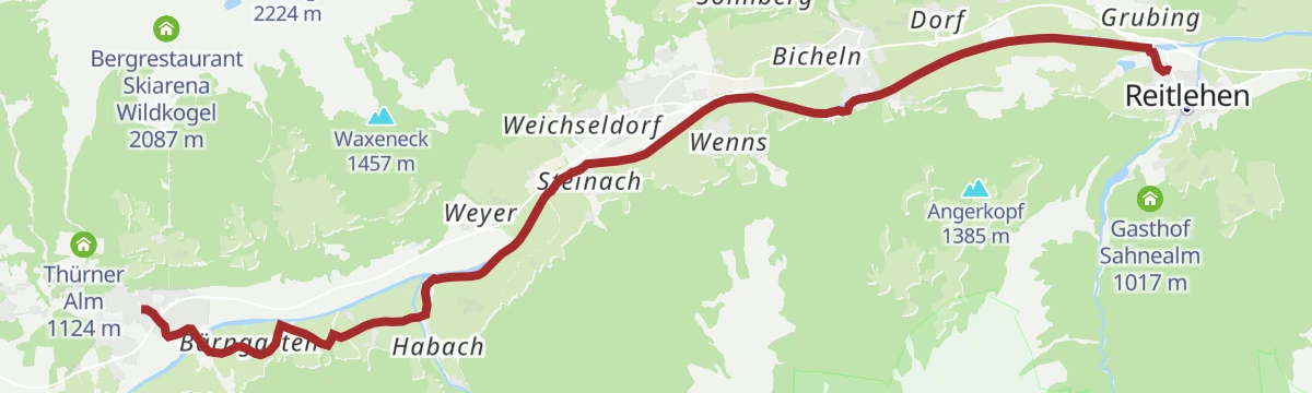
Sonnenweg Krimml - Mühlbach
Around nine hours one way: 25 km from Krimml to Mühlbach on waymarks 19, 15 and 55, rising from 820 m to a high point of 1,306 m.
- 25.1 km
- Distance
- 1 315 m
- Ascent
- 9 h 55 min
- Duration
- 7
- Check-ins
- Tagesspeicher Krimmler Ache 1 048 m
- Ederbauer 1 270 m
- Geschiebesperre 922 m
- Pension Falkenstein 1 055 m
- Thürner Alm 1 124 m
Neukirchen: 3F Ambrosiuskapelle
A climb of over 1,100 m from the valley to the Wildkogel Haus at 2,005 m, passing the chapel at 1,524 m and the Vierlauchenhütte.
- 9.6 km
- Distance
- 1 160 m
- Ascent
- 1 h 48 min
- Duration
- 22
- Check-ins
Hohe Tauern Panorama Trail Etappe 5: Rettenstein Blick
High stage over the Wildkogel with the glaciers of the Hohe Tauern in view, dropping at the end into the herb village of Hollersbach.
- 14.0 km
- Distance
- 156 m
- Ascent
- 4 h 51 min
- Duration
- 48
- Check-ins
Tälerweg Mühlbach - Krimml
Long valley traverse of 22 km from the station at Mühlbach im Pinzgau to Krimml, on path 24 and with little height gain.
- 22.2 km
- Distance
- 722 m
- Ascent
- 6 h 45 min
- Duration
- 2
- Check-ins
Mittersill: Resterhöhe Biketour
A long climb from Mittersill up to Pass Thurn and on to the Moseralm at 1,742 m below the Resterhöhe, past the Berghotel Holzer.
- 53.5 km
- Distance
- 1 617 m
- Ascent
- 6 h 16 min
- Duration
- 21
- Check-ins
Neukirchen: Frühmesser Rundweg
A high circuit that never drops below 1,980 m, taking the Frühmesser and the Grasleitkopf by way of the Herrensteigscharte and the Gensbichlscharte.
- 8.2 km
- Distance
- 302 m
- Ascent
- 2 h 41 min
- Duration
- 48
- Check-ins
Bramberg: Plattwald - Stangenalm - Baumgartenalm Rundweg
A 20 km round from the Plattwald car park above Mühlbach, linking the Stangenalm with the Baumgartenalm.
- 20.4 km
- Distance
- 963 m
- Ascent
- 7 h 10 min
- Duration
Mittersill: Hörgeralm Biketour
A long climb north out of Mittersill to the Högeralm at 1,758 m, by way of the Mooralm and the Panoramabahn mid-station.
- 39.0 km
- Distance
- 1 102 m
- Ascent
- 4 h 30 min
- Duration
- 20
- Check-ins
No routes of this kind in Bramberg am Wildkogel yet.
The region's own picks

Featured route
Hollersbach: Panoramaalm
An easy ridge walk from the Resterhöhe over the Hartkaserhöhe to the Panoramaalm, passing the Resterhöhe reservoir.
Planning a trip to Bramberg am Wildkogel?
Everything else Salzburg (state) has, in one place


Take Bramberg am Wildkogel with you into the mountains
Every route on this page with 3D terrain, GPX navigation and offline maps — including the valleys with no signal.
Data sources
- Official website: wildkogel-arena.at ↗
- Routes and highlights: Wildkogel-Arena, Nationalparkregion Mittersill, Nationalpark, Zell am See-Kaprun Tourismus, Kitzbühel Tourismus
- Published as open data by the tourist boards named above.
- Region summary generated from the board's own material.
