








Curated by Sterzing, Pfitsch und Freienfeld
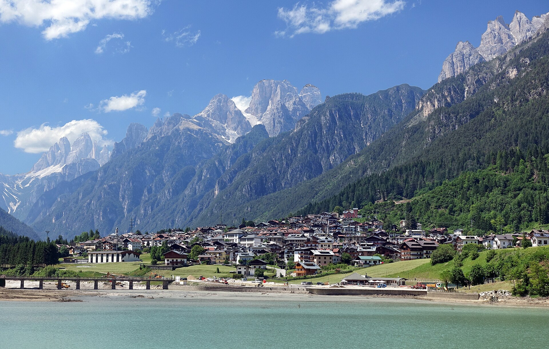
Auronzo di Cadore
A long lakeside town in the Ansiei valley, its toll road climbing to the Tre Cime di Lavaredo.
Photo: Tiia Monto · CC BY-SA 3.0 licence
- 3Highlights
- 20Routes
- Featured summit · Monte Paterno - Paternkofel
Highlights
All 3 from neighbouring places
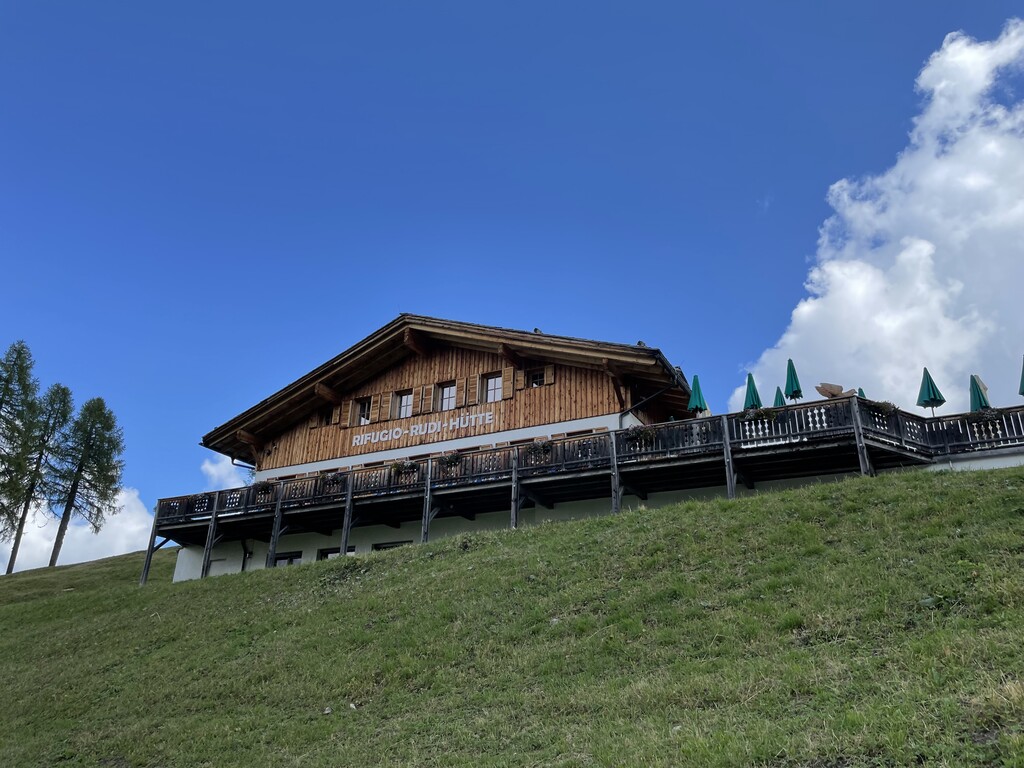
Rifugio Rudi
11.2 km away, in Sesto/Sexten
A hut at 1,917 m above Sesto reached by gondola or on foot, beside the Croda Rossa cabin lift and the top of the toboggan run.
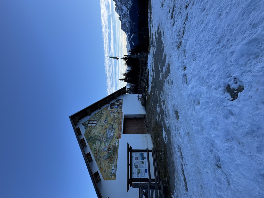
Azienda Agriturismo Coltrondo
13 km away, in Comelico Superiore
A working dairy farm on the Coltrondo pastures above Padola, in the Comelico near the Passo Monte Croce, serving what it makes.
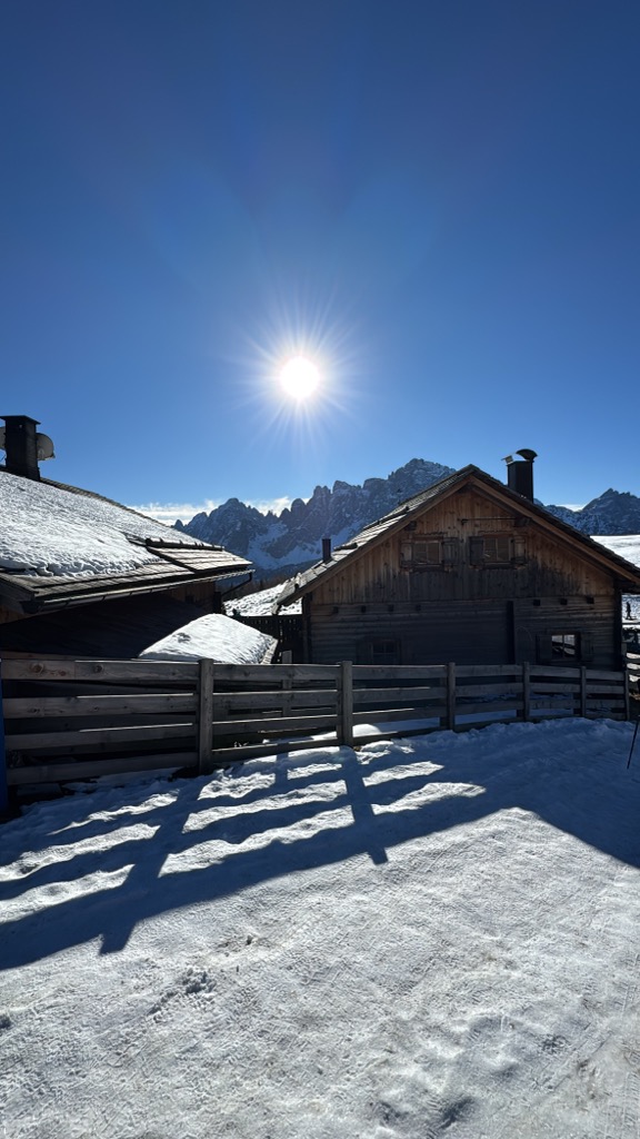
Malga Klammbach
14.1 km away, in Sesto/Sexten
A pasture hut at 1,944 m on the Klammbach slopes above Sesto, reached on the walk up from Moso and cooking the typical Tyrolean fare of the Pusteria.
Sterzing, Pfitsch und Freienfeld
Nothing of this kind in Auronzo di Cadore.
Routes
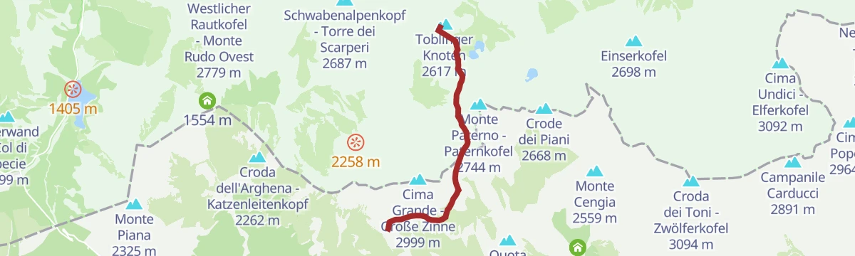
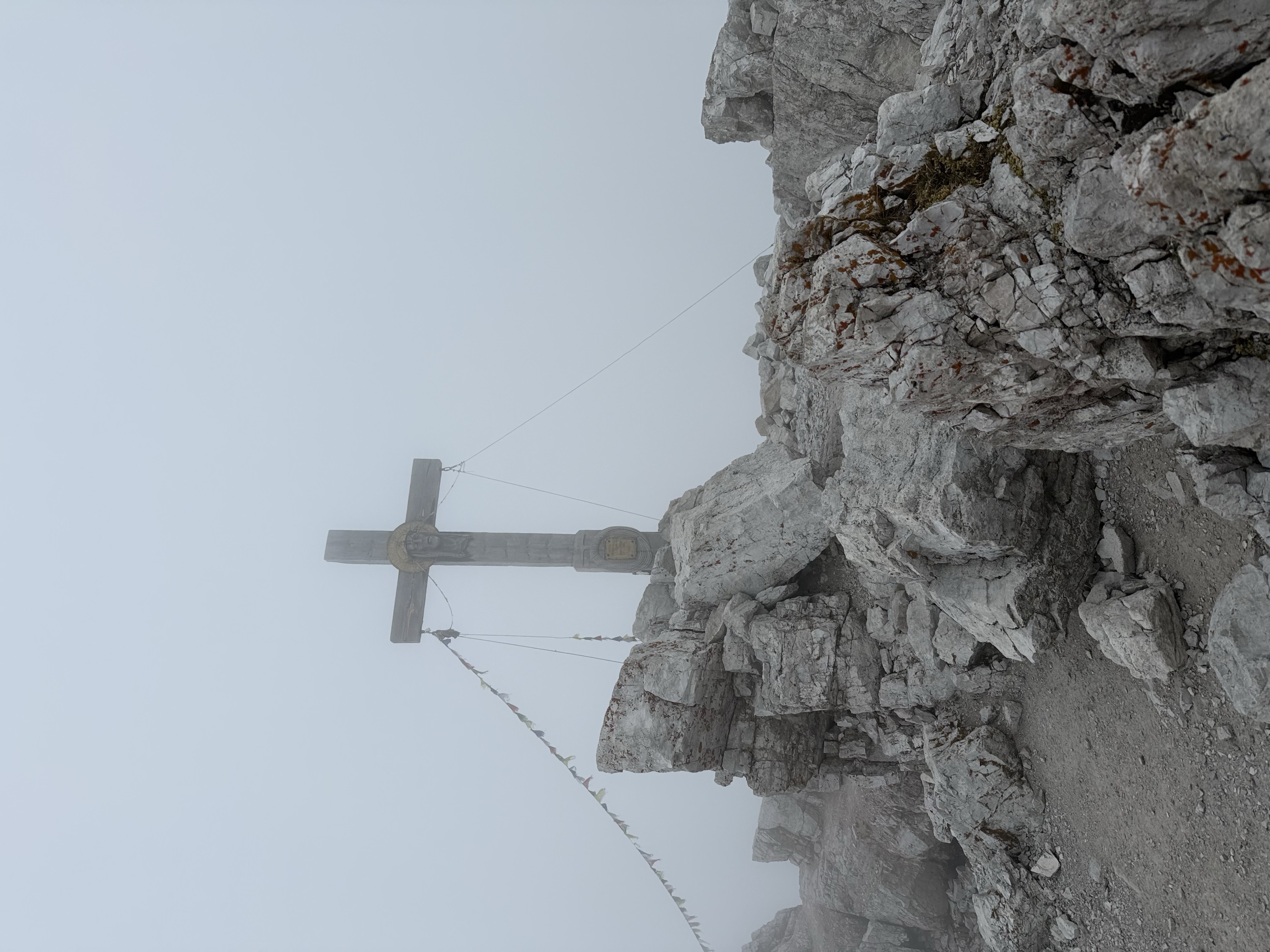
Via Ferrata: Monte Paterno
An equipped route from the Locatelli hut through a rock tunnel and up past the Gamsscharte to the summit of Monte Paterno, above the Tre Cime.
- 5.3 km
- Distance
- 676 m
- Ascent
- 4 h
- Duration
- 1690
- Check-ins
 Monte Paterno - Paternkofel 2 744 m
- Frankfurter Würstel - Monolite della Salsiccia 2 726 m
- Frankfurter Würstel - Salsiccia di Francoforte 2 438 m
- Buddha 2 531 m
 Rifugio Auronzo 2 333 m
 Forcella Longeres 2 330 m
- +6
Open route Sterzing, Pfitsch und FreienfeldDolomiti senza confini - Rif. Carducci - Tre Cime di Lavaredo
A long stage of the Dolomiti senza Confini high route, from the Carducci hut across ground marked by Great War trenches to the Tre Cime di Lavaredo.
- 16.8 km
- Distance
- 1 735 m
- Ascent
- 13 h 22 min
- Duration
- 1684
- Check-ins
- Rifugio Auronzo 2 333 m
- Forcella Longeres 2 330 m
- Toblinger Riedl - Forcella di Toblin 2 401 m
- Rifugio Lavaredo 2 345 m
- Dreizinnenhütte - Rifugio Antonio Locatelli/Sepp Innerkofler 2 405 m
- Rifugio Locatelli - Bivouac 2 402 m
- +12
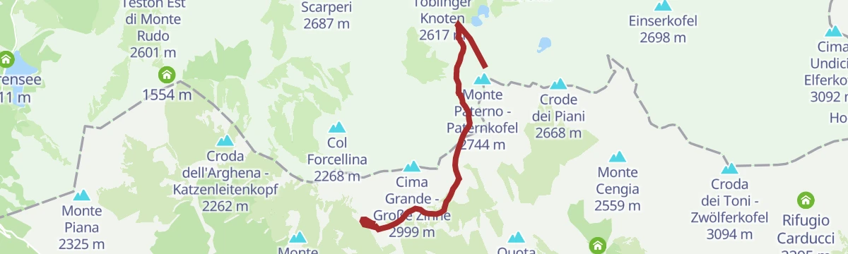
Open route Sterzing, Pfitsch und FreienfeldVia ferrata: Torre di Toblin
A short but steep ladder climb on the north flank of the Torre di Toblin, started at the Locatelli hut and set opposite the Tre Cime.
- 4.7 km
- Distance
- 427 m
- Ascent
- 2 h 48 min
- Duration
- 1593
- Check-ins
- Toblinger Knoten 2 617 m
- Toblinger Knoten - Torre di Toblin 2 564 m
- Toblinger Knoten Westgipfel - Torre di Toblin Cima Ovest 2 546 m
- Rifugio Auronzo 2 333 m
- Forcella Longeres 2 330 m
- Forcella Lavaredo - Paternsattel 2 454 m
- +4
Open route Sterzing, Pfitsch und FreienfeldDolomiti senza confini - Tre Cime di Lavaredo - Rif. Comici
A stage of the Dolomiti senza Confini high route, linking the Tre Cime di Lavaredo with the Comici hut over equipped ground and old front-line positions.
- 9.8 km
- Distance
- 801 m
- Ascent
- 6 h 59 min
- Duration
- 1236
- Check-ins
- Monte Paterno - Paternkofel 2 744 m
- Frankfurter Würstel - Monolite della Salsiccia 2 726 m
- Toblinger Knoten - Torre di Toblin 2 564 m
- Toblinger Knoten Westgipfel - Torre di Toblin Cima Ovest 2 546 m
- Westliche Gamsspitze 2 671 m
- Östliche Gamsspitze 2 696 m
- +13
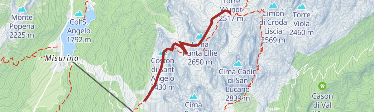
Open route Sterzing, Pfitsch und FreienfeldVia Ferrata: Sentiero Bonacossa
A traverse of the Cadini group from south to north, mostly walking terrain between short cabled sections, with repeated small reascents.
- 2.7 km
- Distance
- 656 m
- Ascent
- 3 h 58 min
- Duration
- 129
- Check-ins
- Il Gobbo 2 580 m
- Paracarro 2 424 m
- Passo dei Tocci 2 358 m
- Rifugio Fonda Savio 2 367 m
- Forcella del Diavolo 2 380 m
- Forcella di Misurina 2 391 m
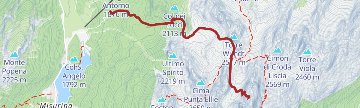
Open route Sterzing, Pfitsch und FreienfeldVia Ferrata: Cima Cadini Nordest - Merlone
A long approach in the Cadini group followed by more than 300 rungs of ladders, largely in shade, to the north-east Cadini summit.
- 3.8 km
- Distance
- 983 m
- Ascent
- 4 h 27 min
- Duration
- 112
- Check-ins
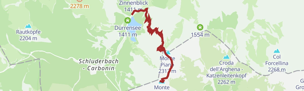
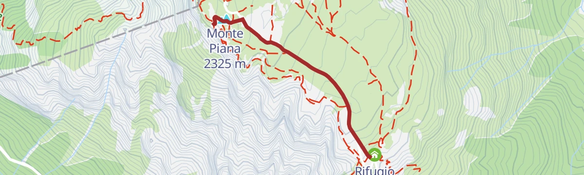
Open route Sterzing, Pfitsch und FreienfeldVia Ferrata: Monte Piana - Sentiero Hauptmann-Bilgeri
A brief cabled section with a long walk in, ending on the summit plateau of Monte Piano and its open-air museum of the First World War.
- 6.4 km
- Distance
- 963 m
- Ascent
- 4 h 45 min
- Duration
- 102
- Check-ins
- Monte Piana 2 325 m
- Toblacher Kreuz - Croce di Dobbiaco 2 301 m
- Monte Piano 2 313 m
- Capanna Carducci 2 321 m
- Forcella dei castrati 2 201 m
Open route Sterzing, Pfitsch und FreienfeldDolomiti senza confini - Rifugio Lunelli – Rifugio Berti/Rifugio Carducci
A stage of the Dolomiti senza Confini between the Lunelli hut and the Berti and Carducci huts, on equipped ground in the Popera group with a heavy war history.
- 7.2 km
- Distance
- 1 867 m
- Ascent
- 10 h 44 min
- Duration
- 71
- Check-ins
Open route Sterzing, Pfitsch und FreienfeldPanoramic Viewpoint Cadini di Misurina via Auronzo Refuge
A short climb from the Auronzo hut to the balcony facing the Cadini di Misurina spires, near the Tre Cime.
- 3.4 km
- Distance
- 179 m
- Ascent
- 1 h 18 min
- Duration
- 545
- Check-ins
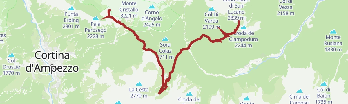
Open route Dolomiti Bellunesi - The Mountains of VeniceCortina Dolomiti Ultratrekking - Stage 3
The third day of the Cortina ultratrekking, down from the Citta di Carpi hut to Lake Misurina and up to the huts below the Tre Cime.
- 13.8 km
- Distance
- 753 m
- Ascent
- 4 h 57 min
- Duration
- 1316
- Check-ins
- Rifugio Auronzo 2 333 m
- Forcella Longeres 2 330 m
- Rifugio Lavaredo 2 345 m
- Rifugio Antorno 1 876 m
 Lago d'Antorno 1 868 m
- Col Sant’Angelo 1 756 m
- +5
Open route Cortina Marketing Se.Am.Cortina Dolomiti Ultratrekking - Stage 4
The fourth day, from the Lavaredo hut down to Lake Landro, then over the Cimabanche pass and by cycle path and trail to Malga Ra Stua.
- 25.9 km
- Distance
- 749 m
- Ascent
- 8 h 32 min
- Duration
- 737
- Check-ins
- Forcella Lavaredo - Paternsattel 2 454 m
- Rifugio Lavaredo 2 345 m
- Laghi di Lavaredo 2 387 m
- Rudere 2 392 m
- Rifugio Malga Ra Stua 1 668 m
- Im Gemärk - Passo Cimabanche 1 530 m
- +2
Open route Cortina Marketing Se.Am.Road bike tour to the Tre Cime/Drei Zinnen
A long ride from San Cassiano over the Falzarego and the Passo Tre Croci to Lago d'Antorno, returning across the Valparola Pass.
- 108.8 km
- Distance
- 3 126 m
- Ascent
- 12 h 36 min
- Duration
- 1528
- Check-ins
- Falzarego Pass 2 105 m
- Rifugio Antorno 1 876 m
- Passo Tre Croci - Son Zuógo 1 809 m
- Lago d'Antorno 1 868 m
- Bar Bazar 2 106 m
- Rifugio "Passo Valparola" 2 168 m
- +31
Open route Alta Badia Tourism CooperativeTour of Lake Misurina
A flat circuit of Lake Misurina, ringed by the Sorapiss group and with the Tre Cime di Lavaredo standing above the far shore.
- 2.7 km
- Distance
- 0 m
- Ascent
- 37 min
- Duration
- 158
- Check-ins
Open route Dolomiti Bellunesi - The Mountains of VeniceCortina - Three Peaks of Lavaredo
The road climb from Misurina to the Auronzo hut below the Tre Cime, made famous by Merckx in the 1968 Giro d'Italia.
- 13.8 km
- Distance
- 601 m
- Ascent
- 4 h 43 min
- Duration
- 407
- Check-ins
- Rifugio Antorno 1 876 m
- Lago d'Antorno 1 868 m
- Ristorante Bar Genzianella 1 763 m
- Malga Rin Bianco 1 839 m
- Albergo Dolomiti 1 758 m
Open route Dolomiti Bellunesi - The Mountains of VeniceCortina Dolomiti Ultratrekking - Stage 2
A stage from the Rifugio Son Forca over the Passo Tre Croci to the Sorapis lake and the Vandelli hut, with a short exposed cabled step.
- 18.4 km
- Distance
- 1 198 m
- Ascent
- 8 h 17 min
- Duration
- 413
- Check-ins
- Rifugio Vandelli 1 928 m
- Passo Tre Croci - Son Zuógo 1 809 m
- Forcella Maraia 2 101 m
- Rifugio Città di Carpi 2 130 m
- Rifugio Son Forca 2 235 m
- B&B HOTEL Passo Tre Croci Cortina 1 802 m
- +2
Open route Cortina Marketing Se.Am.Lake Misurina
A long circuit from Cortina on the old railway to Cimabanche, then round by Misurina and back over the Passo Tre Croci.
- 37.7 km
- Distance
- 949 m
- Ascent
- 4 h 14 min
- Duration
- 492
- Check-ins
- Passo Tre Croci - Son Zuógo 1 809 m
- Col Sant’Angelo 1 756 m
- Misurina 1 753 m
- Rio Gere 1 687 m
- Albergo Dolomiti 1 758 m
- Im Gemärk - Passo Cimabanche 1 530 m
- +10
Open route Cortina Marketing Se.Am.Sentiero tematico: Monte Piano - Museo all'aperto della Prima Guerra Mondiale
A short circuit of the Monte Piana plateau among trenches, tunnels and gun positions, held by Austrian and Italian troops between 1915 and 1917.
- 996 m
- Distance
- 129 m
- Ascent
- 33 min
- Duration
- 110
- Check-ins
Open route 3 Zinnen DolomitenThree Peaks Bike Cortina-Misurina-Auronzo
A long ride that nearly encircles the Cristallo group, over the Tre Croci pass by Misurina and down to Auronzo.
- 83.1 km
- Distance
- 1 612 m
- Ascent
- 8 h 54 min
- Duration
- 474
- Check-ins
- Passo Tre Croci - Son Zuógo 1 809 m
- Col Sant’Angelo 1 756 m
- Misurina 1 753 m
- Rio Gere 1 687 m
- Albergo Dolomiti 1 758 m
- Centro visitatori del parco 1 323 m
- +10
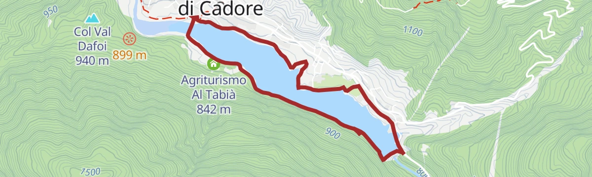
Open route Dolomiti Bellunesi - The Mountains of VeniceTour of Lake St. Catherine
A level circuit of the Santa Caterina lake near Auronzo, through fir and beech woods with openings onto the water.
- 5.5 km
- Distance
- 90 m
- Ascent
- 1 h 31 min
- Duration
- 6
- Check-ins
Open route Dolomiti Bellunesi - The Mountains of VeniceSomadida Forest - Ring to the Bridge of the Acers
A loop in the Somadida reserve, crossing the Ansiei stream among firs, beeches and maples, with the Marmarole peaks in view.
- 4.3 km
- Distance
- 79 m
- Ascent
- 1 h 12 min
- Duration
Open route Dolomiti Bellunesi - The Mountains of Venice
No routes of this kind in Auronzo di Cadore yet.
The region's own picks
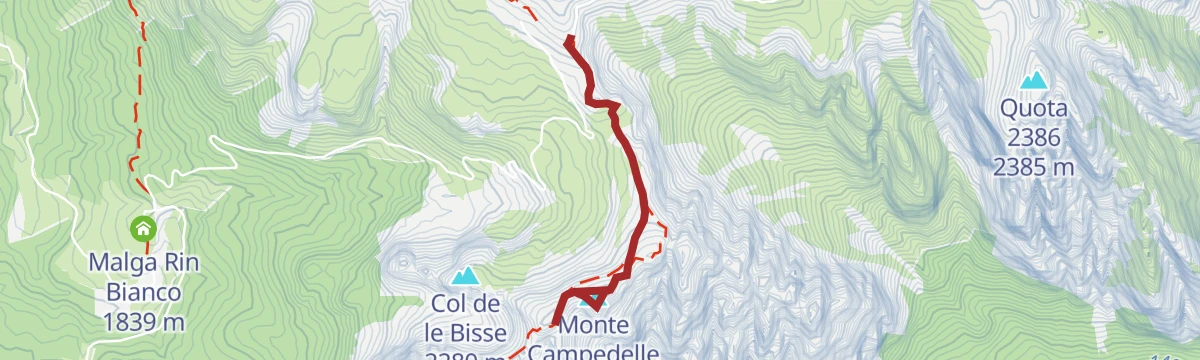
Featured route
Panoramic Viewpoint Cadini di Misurina via Auronzo Refuge
A short climb from the Auronzo hut to the balcony facing the Cadini di Misurina spires, near the Tre Cime.
Planning a trip to Auronzo di Cadore?
Everything else Veneto has, in one place


Take Auronzo di Cadore with you into the mountains
Every route on this page with 3D terrain, GPX navigation and offline maps — including the valleys with no signal.
Data sources
- Official website: auronzomisurina.it ↗
- Routes and highlights: Sterzing, Pfitsch und Freienfeld, Dolomiti Bellunesi - The Mountains of Venice, Cortina Marketing Se.Am., Dolomiti, Alta Badia Tourism Cooperative, 3 Zinnen Dolomiten
- Published as open data by the tourist boards named above.
- Region summary generated from the board's own material.
