














Curated by Consorzio Operatori Turistici Alleghe - Caprile
Alleghe
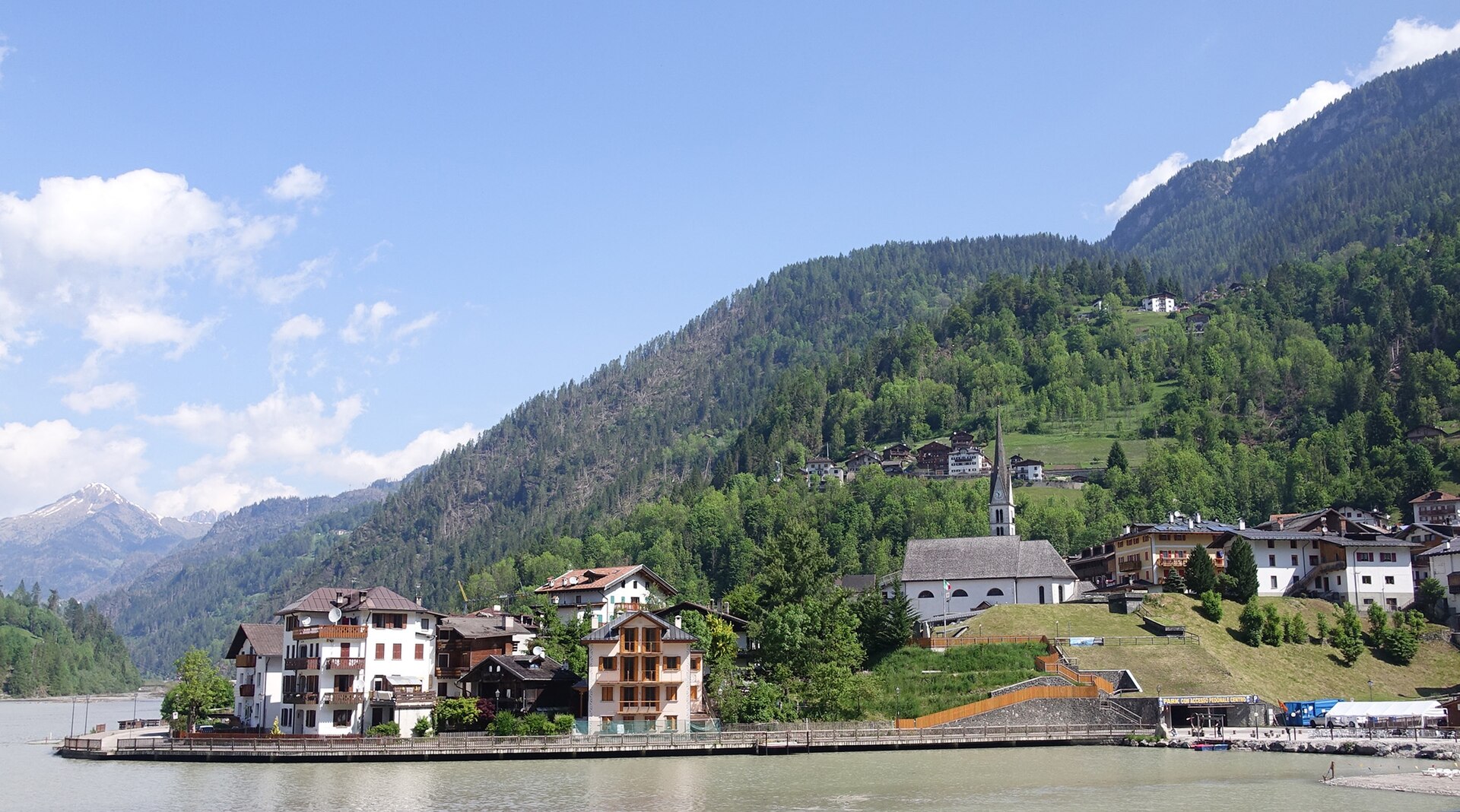
Village on the shore of its own lake below the Civetta wall, a short walk from the ski lifts and the Belvedere refuge.
Photo: Tiia Monto · CC BY-SA 3.0 licence
- 1Highlights
- 43Routes
- Featured summit · Col Dei Baldi
Highlights
2 from neighbouring places
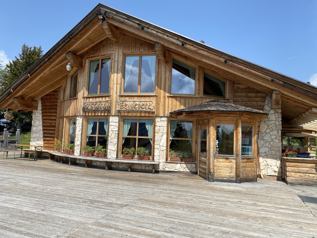
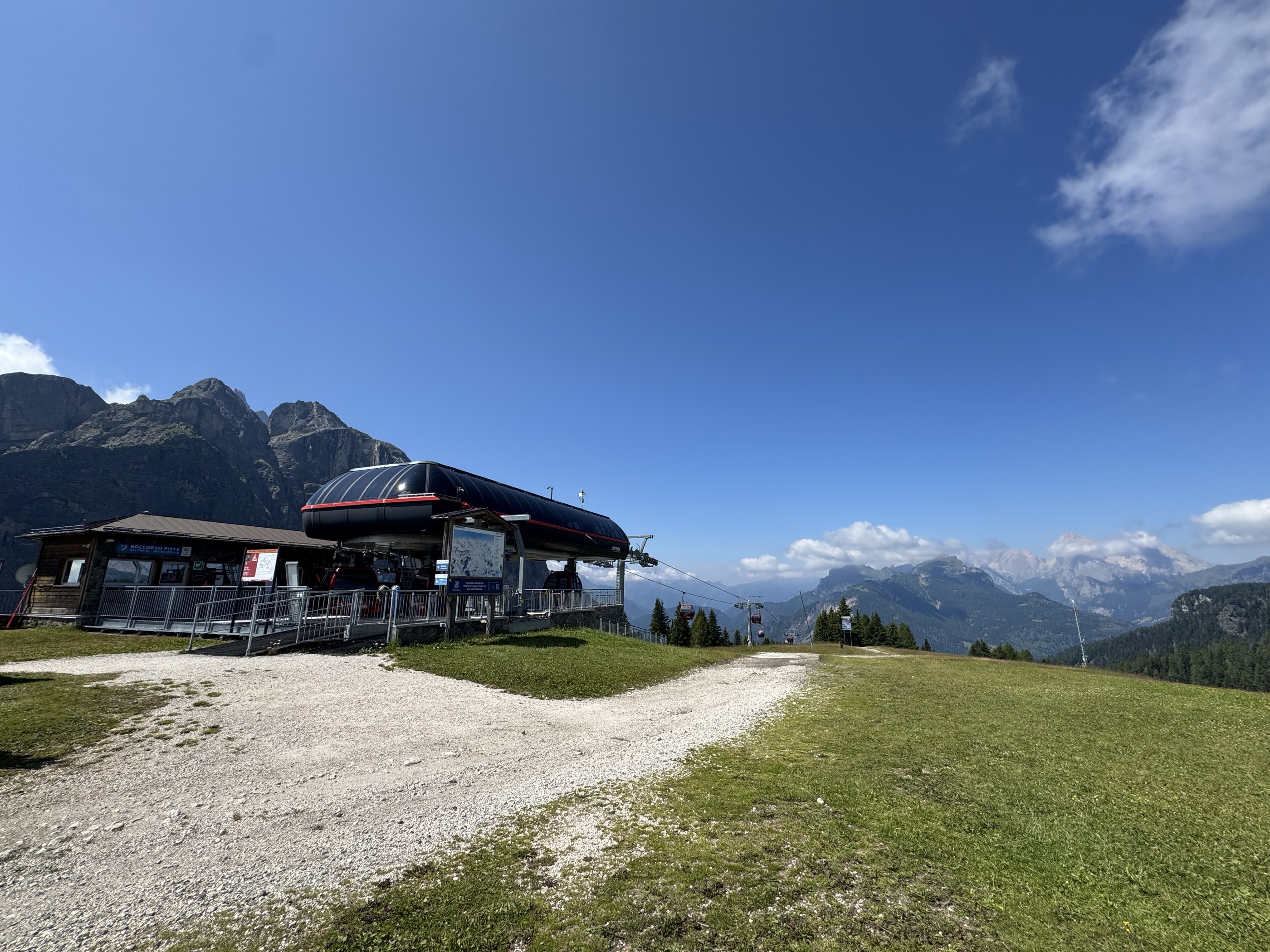
Rifugio Ristoro Belvedere
A hut on the lower slopes of the Civetta above Alleghe, reached from the Piani di Pezzè lift and looking across to the lake.
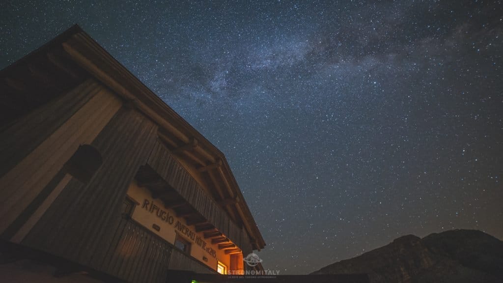
Rifugio Averau
10.4 km away, in Colle Santa Lucia
A hut below the Averau in the Cinque Torri group, a dark-sky site above the Giau pass.
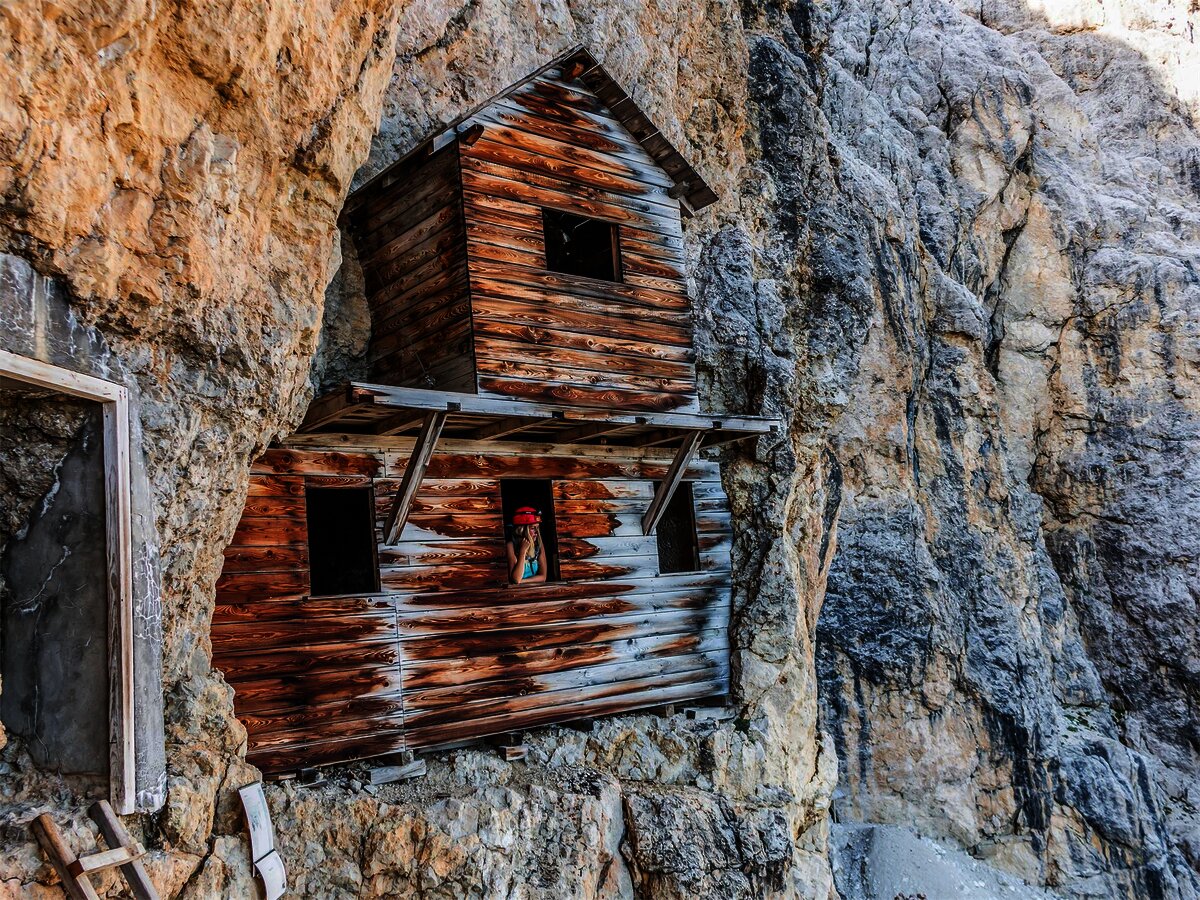
Museo/galleria del Lagazuoi
12.8 km away, in Cortina d'Ampezzo
Tunnels driven into the Lagazuoi by Italian and Austrian sappers between 1915 and 1917, now an open-air museum reached from the cable car.
Nothing of this kind in Alleghe.
Routes
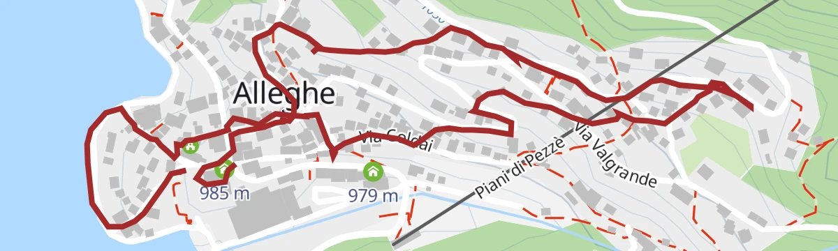
Hiking in Alleghe 2 - Lake circuit
A circuit of the Alleghe lake, formed by a landslide off Monte Piz in 1771, below the Civetta wall.
- 6.3 km
- Distance
- 46 m
- Ascent
- 1 h 35 min
- Duration
- 85
- Check-ins
 Bierstube 977 m
- Alla Caminada 970 m
- Water inlet for Ghirlo powerplant 971 m
- Appartamenti Chalet al Lago 970 m
Open route Consorzio Operatori Turistici Alleghe - CaprileZoldano Loop - Stage 4: Rif. Sonnino al Coldai - Rif. Venezia
A stage from the Coldai hut down by Malga Pioda and the Vescova dairy to the Staulanza pass, then up through wood and dwarf pine towards the Venezia hut.
- 12.7 km
- Distance
- 458 m
- Ascent
- 4 h 17 min
- Duration
- 543
- Check-ins
 Col delle Crepe Cavaliere 1 900 m
- Rifugio Adolfo Sonino al Coldai 2 135 m
 Passo Staulanza 1 766 m
- Rifugio "Alba Maria De Luca" Venezia 1 936 m
- Rifugio Passo Staulanza 1 770 m
- Casera di Pioda 1 820 m
- +3
Open route Consorzio Val di Zoldo TurismoHiking in Alleghe 7 - The crossing of Val Civetta
The line of the Transcivetta race: past the Coldai lake, then CAI 560 with the Alta Via 1 under the north-west wall of the Civetta.
- 20.6 km
- Distance
- 787 m
- Ascent
- 8 h 38 min
- Duration
- 656
- Check-ins
- Col Dei Baldi 1 918 m
- Cime di Col Rean 2 281 m
- Rifugio Adolfo Sonino al Coldai 2 135 m
- Forcella Coldai 2 191 m
- Casera di Pioda 1 820 m
- Rifugio Col dei Baldi 1 922 m
- +10
Open route Consorzio Operatori Turistici Alleghe - CaprileHikes in Alleghe 8 - From Col dei Baldi to Alleghe
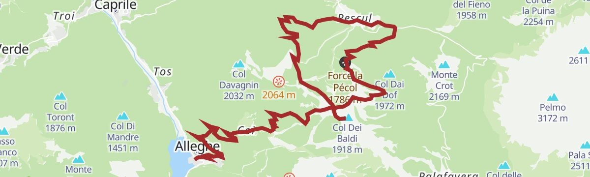
From the Col dei Baldi by the Forcella Alleghe to Pian dei Sec, then a steep ramp past two huts, across the Coldai and Civetta pistes and down through wood.
- 10.6 km
- Distance
- 99 m
- Ascent
- 1 h 22 min
- Duration
- 182
- Check-ins
- Col Dei Baldi 1 918 m
- Rifugio Col dei Baldi 1 922 m
- Bierstube 977 m
- Tabià de Checo Padelin 1 761 m
- Tabià de Rico 1 795 m
- Rossella 1 742 m
- +1
Open route Consorzio Operatori Turistici Alleghe - CaprileMTB Alleghe 1 - Civetta Bike Tour
A signed circuit in the Civetta area combining lifts with forest-road climbs to Cima Fertazza, and steep technical descents for practised riders.
- 24.3 km
- Distance
- 1 025 m
- Ascent
- 3 h 21 min
- Duration
- 446
- Check-ins
- Cima dei Viai - Cima Fertazza 2 101 m
- Casera di Pioda 1 820 m
- Ristoro Belvedere - Cima Fertazza 2 076 m
- Rifugio Palafavera 1 514 m
- Grande Baita Civetta 1 456 m
- Ristoro La Ciasela 2 050 m
- +7
Open route Consorzio Operatori Turistici Alleghe - CaprilePALAFAVERA - COL DEI BALDI by E-BIKE (10)
A loop below Monte Civetta with the Pelmo in sight, passing Casera di Pioda and Agriturismo Malga Fontanafreda on the way up.
- 12.6 km
- Distance
- 509 m
- Ascent
- 1 h 36 min
- Duration
- 251
- Check-ins
- Col Dei Baldi 1 918 m
- Casera di Pioda 1 820 m
- Rifugio Palafavera 1 514 m
- Rifugio Col dei Baldi 1 922 m
- Agriturismo Malga Fontanafreda 1 770 m
Open route Consorzio Val di Zoldo TurismoRoad Bike Alleghe 4 - The Sella Route
The classic four-pass Sellaronda ridden from Alleghe by way of Arabba, taking in Passo Pordoi, the Sella Pass and the Gardena Pass.
- 100.9 km
- Distance
- 2 493 m
- Ascent
- 11 h 18 min
- Duration
- 2003
- Check-ins
- Jouf de Pordoi - Passo Pordoi - Pordoijoch 2 239 m
- Gardena Pass 2 121 m
- Bar Funivia 2 240 m
- L'Angolino del Sella 2 179 m
- In Sella 2 182 m
- Rifugio Frara 2 127 m
- +33
Open route Consorzio Operatori Turistici Alleghe - CaprileThe Sundial Route
A walk through the streets of Alleghe past fourteen of its sixteen sundials; two are natural, read off mountains rather than off house fronts.
- 2.5 km
- Distance
- 102 m
- Ascent
- 51 min
- Duration
- 32
- Check-ins
Open route Consorzio Operatori Turistici Alleghe - CaprileHikes in Alleghe 3 - Lago del Coldai
From the Col dei Baldi cable car towards the Coldai hut and the Forcella Alleghe, then up a mule track from Casera Pioda to the Coldai lake.
- 7.8 km
- Distance
- 494 m
- Ascent
- 3 h 24 min
- Duration
- 383
- Check-ins
- Col Dei Baldi 1 918 m
- Rifugio Adolfo Sonino al Coldai 2 135 m
- Forcella Coldai 2 191 m
- Casera di Pioda 1 820 m
- Rifugio Col dei Baldi 1 922 m
Open route Consorzio Operatori Turistici Alleghe - CaprileAlta Via no.1 - Stage 7
From the Palafavera campsite on the closed military road 564 to the Casera di Pioda, then up mule track 556 over open pasture to the Sonino hut at Coldai.
- 13.7 km
- Distance
- 953 m
- Ascent
- 5 h 58 min
- Duration
- 511
- Check-ins
- Rifugio Adolfo Sonino al Coldai 2 135 m
- Forcella Coldai 2 191 m
- Casera di Pioda 1 820 m
- Rifugio Palafavera 1 514 m
- Rifugio Mario Vazzoler 1 714 m
- Rifugio Monte Pelmo 1 520 m
- +5
Open route Cortina Marketing Se.Am.Mtb Alleghe 3 - At the village of Bramezza
A climb from the lake shore and cycle path up a steep municipal road to a hamlet on the far bank of the Cordevole, facing Alleghe.
- 14.9 km
- Distance
- 674 m
- Ascent
- 1 h 57 min
- Duration
- 3
- Check-ins
Open route Consorzio Operatori Turistici Alleghe - CaprileCIVETTA E-BIKE ROUTE (14)
An e-bike loop in the Ski Civetta area up to Cima Fertazza at over 2,000 m, calling at Rifugio Col dei Baldi and Malga Staulanza.
- 24.0 km
- Distance
- 1 084 m
- Ascent
- 3 h 9 min
- Duration
- 394
- Check-ins
- Col Dei Baldi 1 918 m
- Cima dei Viai - Cima Fertazza 2 101 m
- Casera di Pioda 1 820 m
- Ristoro Belvedere - Cima Fertazza 2 076 m
- Rifugio Col dei Baldi 1 922 m
- Ristoro La Ciasela 2 050 m
- +4
Open route Consorzio Val di Zoldo TurismoBike path Alleghe - Caprile - Masarè
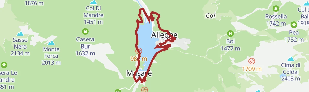
An almost flat loop along the lakeside at Alleghe and on the cycle path built on the Cordevole embankment towards Caprile.
- 10.0 km
- Distance
- 63 m
- Ascent
- 57 min
- Duration
- 7
- Check-ins
Open route Consorzio Operatori Turistici Alleghe - CaprileRoad Bike Alleghe 7 - Col di Lana route
A road loop from Alleghe around the First World War front lines of Col di Lana, over the Falzarego and Valparola passes.
- 77.4 km
- Distance
- 1 769 m
- Ascent
- 8 h 32 min
- Duration
- 970
- Check-ins
- Falzarego Pass 2 105 m
- La Tambra 1 843 m
- Bar Bazar 2 106 m
- Rifugio "Passo Valparola" 2 168 m
- Valparola Pass 2 192 m
- Zirmstube 1 563 m
- +24
Open route Consorzio Operatori Turistici Alleghe - CaprileHikes at Alleghe 1 - Col dei Baldi Fertazza loop
A loop through the high meadows of the Civetta ski area, from the Col dei Baldi by the Boi Vescova and Fontanafredda dairies, both open in summer.
- 8.8 km
- Distance
- 534 m
- Ascent
- 3 h 42 min
- Duration
- 335
- Check-ins
- Col Dei Baldi 1 918 m
- Cima dei Viai - Cima Fertazza 2 101 m
- Ristoro Belvedere - Cima Fertazza 2 076 m
- Rifugio Col dei Baldi 1 922 m
- Ristoro La Ciasela 2 050 m
- Ristoro Fertazza 1 852 m
- +3
Open route Consorzio Operatori Turistici Alleghe - CaprileHikes in Alleghe 11 - Towards the Valfiorentina
From the Col dei Baldi by the Boi Vescova and Fontanafredda dairies to the Forcella Pecol, then down a forest road to Palui and the Fiorentina stream.
- 20.1 km
- Distance
- 1 764 m
- Ascent
- 10 h 13 min
- Duration
- 478
- Check-ins
- Col Dei Baldi 1 918 m
- Ristoro Belvedere - Cima Fertazza 2 076 m
- Grande Baita Civetta 1 456 m
- Rifugio Col dei Baldi 1 922 m
- Ristoro La Ciasela 2 050 m
- Bierstube 977 m
- +9
Open route Consorzio Operatori Turistici Alleghe - CaprileMtb Alleghe 7 - Alleghe Val Fiorentina Loop
A lift-assisted loop from Rifugio Col dei Baldi, descending past Agriturismo Malga Fontanafreda and taking a forest road out to Ristoro Fertazza.
- 22.8 km
- Distance
- 638 m
- Ascent
- 2 h 57 min
- Duration
- 323
- Check-ins
- Col Dei Baldi 1 918 m
- Grande Baita Civetta 1 456 m
- Rifugio Col dei Baldi 1 922 m
- Ristoro Sabe 1 409 m
- Baita Scoiattolo 1 457 m
- Ristoro Fertazza 1 852 m
- +5
Open route Consorzio Operatori Turistici Alleghe - CaprileRoad Bike Alleghe 6 - Passo Giau
A road climb out of Caprile to Passo di Giau, a Giro d'Italia landmark, returning across the Falzarego Pass to Alleghe.
- 69.8 km
- Distance
- 2 055 m
- Ascent
- 8 h 8 min
- Duration
- 864
- Check-ins
- Passo di Giau 2 236 m
- Falzarego Pass 2 105 m
- Berghotel Passo Giau 2 235 m
- Bar Bazar 2 106 m
- Strobel 2 060 m
- Rifugio Fedare 2 000 m
- +14
Open route Consorzio Operatori Turistici Alleghe - CaprilePALAFAVERA LOOP
A loop from Palafavera up to the Col dei Baldi below the Civetta, on ski-area slopes and forest track.
- 9.4 km
- Distance
- 400 m
- Ascent
- 3 h 11 min
- Duration
- 312
- Check-ins
- Col Dei Baldi 1 918 m
- Casera di Pioda 1 820 m
- Rifugio Palafavera 1 514 m
- Rifugio Col dei Baldi 1 922 m
- Rifugio Monte Pelmo 1 520 m
- C. ra Vescovà 1 724 m
- +1
Open route Consorzio Val di Zoldo TurismoMONTE CIVETTA CROSSING
The classic traverse of the Civetta, under long rock walls and across wide pasture past mountain huts; not hard, but a long day on the feet.
- 17.7 km
- Distance
- 1 023 m
- Ascent
- 7 h 52 min
- Duration
- 460
- Check-ins
- Rifugio Adolfo Sonino al Coldai 2 135 m
- Forcella Coldai 2 191 m
- Casera di Pioda 1 820 m
- Rifugio Mario Vazzoler 1 714 m
- Rifugio Capanna Trieste 1 135 m
- Forcella Col Negro di Coldai 2 199 m
- +5
Open route Consorzio Val di Zoldo TurismoMtb Alleghe 4 - Dolomite gems between Zoldo and Selva and Colle S.Lucia
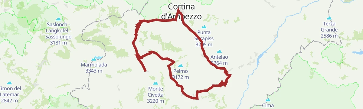
A long ride from Col dei Baldi, reached by cable car, past Malga Pioda and Malga Staulanza, with a technical drop to Pecol below the Pelmo.
- 43.0 km
- Distance
- 1 213 m
- Ascent
- 5 h 18 min
- Duration
- 259
- Check-ins
- Col Dei Baldi 1 918 m
- Col Vallon 1 548 m
- Casera di Pioda 1 820 m
- Rifugio Col dei Baldi 1 922 m
- Agriturismo Malga Fontanafreda 1 770 m
- Malga Staulanza 1 680 m
- +4
Open route Consorzio Operatori Turistici Alleghe - CaprileRoad Bike Alleghe 5 - Pelmo Croda da Lago loop
A big road loop from Alleghe with three Dolomite passes, Staulanza, Cibiana and Falzarego, and a string of valley villages in between.
- 118.4 km
- Distance
- 2 931 m
- Ascent
- 13 h 16 min
- Duration
- 783
- Check-ins
- Falzarego Pass 2 105 m
- Passo Staulanza 1 766 m
- Bar Bazar 2 106 m
- Rifugio Passo Staulanza 1 770 m
- Strobel 2 060 m
- Rifugio Monte Pelmo 1 520 m
- +22
Open route Consorzio Operatori Turistici Alleghe - CaprileHikes in Alleghe 9 - To the dinosaur footprints
A long day from the Col dei Baldi by Malga Boi Vescova to the Staulanza pass, then CAI 472 towards the Venezia hut and the tracks under the Pelmetto.
- 13.2 km
- Distance
- 620 m
- Ascent
- 4 h 39 min
- Duration
- 298
- Check-ins
- Col Dei Baldi 1 918 m
- Passo Staulanza 1 766 m
- Rifugio Passo Staulanza 1 770 m
- Rifugio Col dei Baldi 1 922 m
- C. ra Vescovà 1 724 m
- Malga Boi Vescova 1 726 m
Open route Consorzio Operatori Turistici Alleghe - CaprileStaulanza Pass
A road climb to the Staulanza pass between the Pelmo and the Civetta, long a fixture of the Giro d'Italia; Hinault rode it to effect in 1980.
- 27.0 km
- Distance
- 799 m
- Ascent
- 8 h 21 min
- Duration
- 325
- Check-ins
- Passo Staulanza 1 766 m
- Rifugio Passo Staulanza 1 770 m
- Rifugio Palafavera 1 514 m
- Rifugio Monte Pelmo 1 520 m
- Baita Flora Alpina 1 525 m
- Club delle Capre 1 510 m
- +2
Open route Dolomiti Bellunesi - The Mountains of VeniceMtb Alleghe 6 - Little Roubaix in Biois Valley
A ride along the Biois valley floor cycle path, then trails and lanes linking the upper hamlets and San Tomaso Agordino, on mixed dirt surfaces.
- 42.8 km
- Distance
- 1 512 m
- Ascent
- 5 h 13 min
- Duration
- 137
- Check-ins
- Bierstube 977 m
- Alla Caminada 970 m
- Water inlet for Ghirlo powerplant 971 m
- Pizzeria Al Fornel 934 m
- Rifugio Lagazzon 1 361 m
- Pro Loco Canale d'Agordo APS 978 m
- +3
Open route Consorzio Operatori Turistici Alleghe - CaprileMarmolada Tour
A long road circuit from Predazzo over Passo San Pellegrino and up Passo Fedaia, whose final ramps run into double-digit gradients.
- 105.6 km
- Distance
- 2 679 m
- Ascent
- 11 h 54 min
- Duration
- 780
- Check-ins
- Rifugio Marmolada Castiglioni 2 055 m
- Passo Fedaia 2 057 m
- Rifugio Fedaia 2 057 m
- Passo San Pellegrino 1 918 m
- Chalet Isabella 1 914 m
- Azienda Turistica 1 307 m
- +27
Open route APT Fiemme CembraHiking in Alleghe 10 - The southern slope of the Civetta
From the Col dei Baldi down to Casera Pioda and Val di Zoldo, then by lift to Pian del Crep and CAI 585 to the Su'n Paradis hut under the south Civetta.
- 13.3 km
- Distance
- 883 m
- Ascent
- 5 h 58 min
- Duration
- 246
- Check-ins
- Col Dei Baldi 1 918 m
- Crep Di Pecol 1 803 m
- Casera di Pioda 1 820 m
- Rifugio Col dei Baldi 1 922 m
- Ristoro Da Bepi 1 747 m
- Baita Civetta al Casot 1 578 m
Open route Consorzio Operatori Turistici Alleghe - CaprilePasso Fedaia
The road ascent to the Fedaia pass, brutal above Malga Ciapela, with pitches over twenty per cent on the last hairpins below the Marmolada.
- 14.3 km
- Distance
- 1 060 m
- Ascent
- 4 h 60 min
- Duration
- 159
- Check-ins
- Rifugio Fedaia 2 057 m
- Rifugio Capanna Bill 1 797 m
- Baita Dovich Albergo & Ristorante 1 586 m
- Tabià Palazza 1 780 m
- Albergo Malga Ciapela 1 428 m
- Fedaia (bis) 2 054 m
Open route Dolomiti Bellunesi - The Mountains of VeniceMTB Alleghe 2 - Gares San Tomaso Pass Alleghe
A long crossing from the Val Cordevole into the Valle del Biois through forest and clearings, reaching Capanna Cima Comelle above Canale d'Agordo.
- 43.6 km
- Distance
- 1 362 m
- Ascent
- 5 h 9 min
- Duration
- 136
- Check-ins
- Bierstube 977 m
- Alla Caminada 970 m
- Water inlet for Ghirlo powerplant 971 m
- Capanna Cima Comelle 1 337 m
- Pizzeria Al Fornel 934 m
- Pro Loco Canale d'Agordo APS 978 m
- +2
Open route Consorzio Operatori Turistici Alleghe - CaprilePozza di Fassa - Moena - San Pellegrino Pass - Cencenighe - Caprile - Fedaia Pass - Canazei - Pozza di Fassa
A long road circuit from Pozza di Fassa over the San Pellegrino pass, returning across the Fedaia below the Marmolada.
- 88.1 km
- Distance
- 2 276 m
- Ascent
- 9 h 58 min
- Duration
- 761
- Check-ins
- Rifugio Marmolada Castiglioni 2 055 m
- Passo Fedaia 2 057 m
- Rifugio Fedaia 2 057 m
- Passo San Pellegrino 1 918 m
- Chalet Isabella 1 914 m
- Azienda Turistica 1 307 m
- +24
Open route APT Val di FassaMount Crot
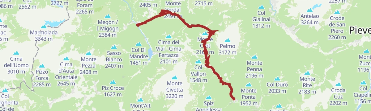
A climb from the Staulanza pass on CAI 561 through fir wood and mugo pine onto open slopes, facing the Pelmo, the Civetta and the Marmolada.
- 4.8 km
- Distance
- 418 m
- Ascent
- 2 h 39 min
- Duration
- 191
- Check-ins
Open route Dolomiti Bellunesi - The Mountains of VeniceRoad Bike Alleghe 2 - Marmolada Loop
A road circuit from Alleghe right around the Marmolada, crossing Passo Fedaia and Passo San Pellegrino to join Agordino to the Val di Fassa.
- 88.5 km
- Distance
- 2 124 m
- Ascent
- 9 h 52 min
- Duration
- 761
- Check-ins
- Rifugio Marmolada Castiglioni 2 055 m
- Passo Fedaia 2 057 m
- Rifugio Fedaia 2 057 m
- Passo San Pellegrino 1 918 m
- Chalet Isabella 1 914 m
- Azienda Turistica 1 307 m
- +24
Open route Consorzio Operatori Turistici Alleghe - CaprileAlleghe between art and nature
A route through Alleghe setting works by Laura Ballis against the lake and its slopes, starting at the church of San Biagio and its frescoes.
- 7.6 km
- Distance
- 189 m
- Ascent
- 2 h 14 min
- Duration
- 85
- Check-ins
- Bierstube 977 m
- Alla Caminada 970 m
- Water inlet for Ghirlo powerplant 971 m
- Appartamenti Chalet al Lago 970 m
Open route Consorzio Operatori Turistici Alleghe - CaprileRoad Bike Alleghe 3 - Pale di San Martino Loop
A three-climb road circuit from Alleghe, crossing Passo Valles and the Rolle Pass on the ring around the Pale group above Paneveggio.
- 112.0 km
- Distance
- 2 990 m
- Ascent
- 12 h 46 min
- Duration
- 520
- Check-ins
- Rolle Pass 1 971 m
- Passo Valles 2 032 m
- Malga Rolle 1 905 m
- Rifugio Capanna Passo Valles 2 037 m
- Bierstube 977 m
- Hotel Venezia 1 957 m
- +18
Open route Consorzio Operatori Turistici Alleghe - CaprileHikes in Alleghe 4 - The Spina Waterfall
A rebuilt link between Caprile and Alleghe on the Monte Fertazza flank, restored after the Vaia storm and sharing its first part with the Carducci path.
- 8.2 km
- Distance
- 660 m
- Ascent
- 4 h 16 min
- Duration
- 32
- Check-ins
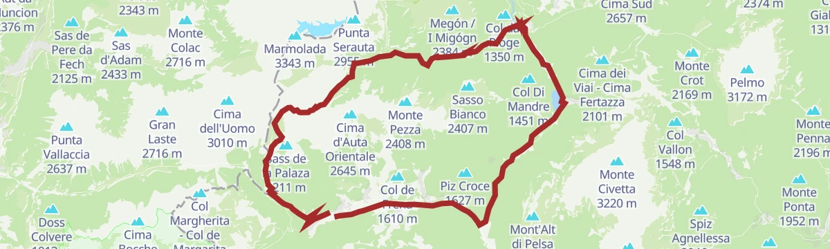
Open route Consorzio Operatori Turistici Alleghe - CaprileRoad Bike Alleghe 1 - The Civetta Loop
A long road circuit out of Alleghe over Passo Duran and Passo Staulanza, two Dolomite climbs that the Giro d'Italia has used.
- 77.3 km
- Distance
- 2 029 m
- Ascent
- 8 h 46 min
- Duration
- 516
- Check-ins
- Passo Staulanza 1 766 m
- Rifugio Passo Staulanza 1 770 m
- Rifugio Monte Pelmo 1 520 m
- Passo Duran 1 605 m
- Rifugio San Sebastiano 1 596 m
- Bierstube 977 m
- +13
Open route Consorzio Operatori Turistici Alleghe - CaprileHikes in Alleghe 5 - The Hay Route
An old path across the Monte Fertazza hillside that once linked the mowing meadows at Fernazza to those of Pian and of Lagusello, between Alleghe and Caprile.
- 9.6 km
- Distance
- 781 m
- Ascent
- 4 h 60 min
- Duration
- 32
- Check-ins
Open route Consorzio Operatori Turistici Alleghe - CaprileFalcade - Alleghe Bike Tour : tour intervallivo tra i più bei panorami, i boschi e i borghi delle Dolomiti
A valley-to-valley Dolomite tour from the Molino lifts up to Cima Pradazzo and Col Margherita, then down by cable car and dirt road towards Somor.
- 64.5 km
- Distance
- 2 694 m
- Ascent
- 8 h 16 min
- Duration
- 274
- Check-ins
- Rifugio Laresei 2 260 m
- Rifugio Flora Alpina 1 802 m
- Le Buse 1 900 m
- Alla Caminada 970 m
- Water inlet for Ghirlo powerplant 971 m
- Pizzeria Al Fornel 934 m
- +11
Open route Falcade DolomitiRoutes at Alleghe 6 - To the village of Bramezza
From the Alleghe lakeshore along the Cordevole cycle path and over the footbridge to the Santa Maria delle Grazie sanctuary, then steeply up to Bramezza.
- 8.9 km
- Distance
- 473 m
- Ascent
- 3 h 24 min
- Duration
- 3
- Check-ins
Open route Consorzio Operatori Turistici Alleghe - CaprileForca Rossa Route - Route n°6 - Falcade Bike Trail
A long ride from Falcade by the Flora Alpina hut to the Forca Rossa at 2,482 m, then down to Malga Ciapela.
- 50.9 km
- Distance
- 2 035 m
- Ascent
- 6 h 26 min
- Duration
- 245
- Check-ins
- Rifugio Flora Alpina 1 802 m
- Forca Rossa 2 482 m
- Malga Ciapela Marmolada 1 455 m
- Alla Caminada 970 m
- el Morbin 1 455 m
- Water inlet for Ghirlo powerplant 971 m
- +5
Open route Falcade DolomitiCarducci Path
A circuit from Caprile on paths walked by the poet Giosue Carducci during his stay in the summer of 1886.
- 4.9 km
- Distance
- 376 m
- Ascent
- 2 h 27 min
- Duration
Open route Consorzio Operatori Turistici Alleghe - CaprileRoad-Bike Alleghe 8 Monti del Sole Route
A long road ride down the Valle del Cordevole to Ponte Mas, then up the Valle del Mis past Lago del Ghirlo before the climb to Gosaldo.
- 102.4 km
- Distance
- 1 682 m
- Ascent
- 10 h 40 min
- Duration
- 152
- Check-ins
- Bierstube 977 m
- Alla Caminada 970 m
- Water inlet for Ghirlo powerplant 971 m
- Pizzeria Al Fornel 934 m
- Ristorante alla Stanga 436 m
 Polane 563 m
- +5
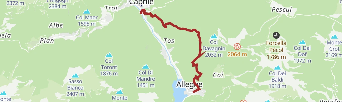
Open route Consorzio Operatori Turistici Alleghe - CaprileClimb Alleghe-Piani di Pezzè
A steep road climb from the centre of Alleghe to Piani di Pezzè, with gradients near twenty per cent at Riva de Col de Mies and Riva de Coi.
- 4.9 km
- Distance
- 486 m
- Ascent
- 2 h 5 min
- Duration
Open route Consorzio Operatori Turistici Alleghe - Caprile
No routes of this kind in Alleghe yet.
The region's own picks

Featured route
Hiking in Alleghe 2 - Lake circuit
A circuit of the Alleghe lake, formed by a landslide off Monte Piz in 1771, below the Civetta wall.
Planning a trip to Alleghe?
Everything else Veneto has, in one place


Take Alleghe with you into the mountains
Every route on this page with 3D terrain, GPX navigation and offline maps — including the valleys with no signal.
Data sources
- Official website: agordinodolomiti.it ↗
- Routes and highlights: Consorzio Operatori Turistici Alleghe - Caprile, Consorzio Val di Zoldo Turismo, Dolomiti Bellunesi - The Mountains of Venice, Falcade Dolomiti, YesAlps, Astrotourism, Sterzing, Pfitsch und Freienfeld, Cortina Marketing Se.Am., APT Fiemme Cembra, APT Val di Fassa
- Published as open data by the tourist boards named above.
- Region summary generated from the board's own material.
