Get PeakVisor App
Sign In
Search by GPS coordinates
- Latitude
- ° ' ''
- Longitude
- ° ' ''
- Units of Length

Yes
Cancel
❤ Wishlist ×
Choose
Delete
The Rätikon, with its many mountain huts, multi-day hikes, and cross-country ski tours, is one of the best mountain ranges for alpine adventures in the Central Eastern Alps. There are 370 named mountains in The Rätikon; the highest and most prominent is Schesaplana (2,964 m / 9,725 ft). For an intimate look at this fabulous range, you can also check out our recent feature-length article on the story behind climbing Schesaplana.
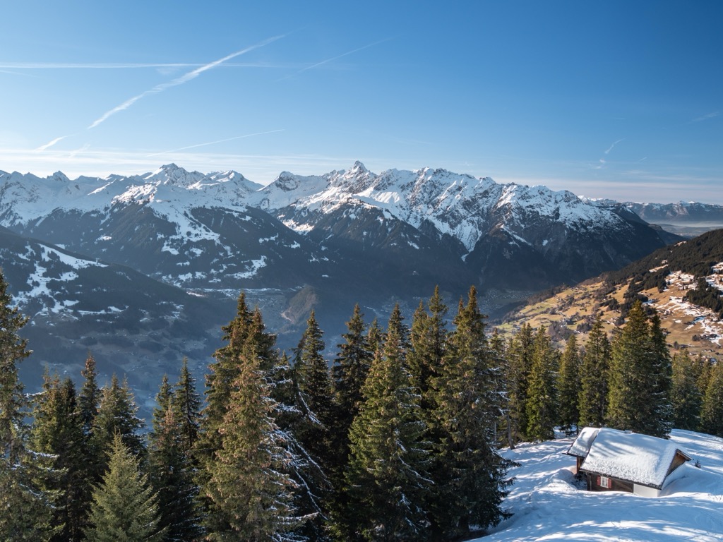
The Rätikon is the westernmost range in the Eastern Alps, resting on the tri-border point between Liechtenstein, Switzerland's Grisons (Graubünden) canton, and Austria's Vorarlberg state.
Three significant valleys define the Rätikon's boundaries. The 39 km (24 mi) long Montafon Valley and the Walgau Valley run along Rätikon's northeastern edge. The Ill River meanders through both valleys and is a major tributary of Central Europe's second-longest river, the Rhine.
The Rhine forms the range's western border, meeting the Ill River just north of Feldkirch at the Rätikon's northern tip. The Landquart River's Prättigau Valley forms the Rätikon's southern border.
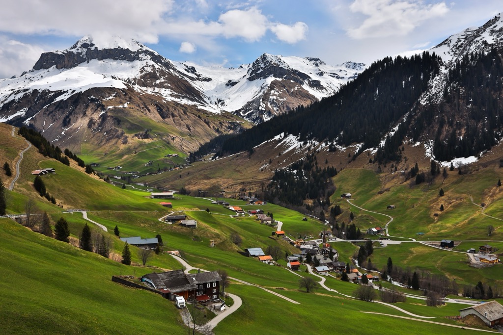
Seven mountain ranges surround the Rätikon. To the southeast, across the Schlappiner Joch (2,202 m / 7,224 ft), which connects the Schlappintal and Gargellental valleys, is the Silvretta Alps. Directly to the Rätikon's east are the Verwall Alps.
Across the Rhine to the west, from north to south, are the Appenzell Alps, Glarus Alps, and Plessur Alps. The Bregenz Forest Mountains and the Lechquellen Mountains are to the northwest, forming part of the Northern Limestone Alps.
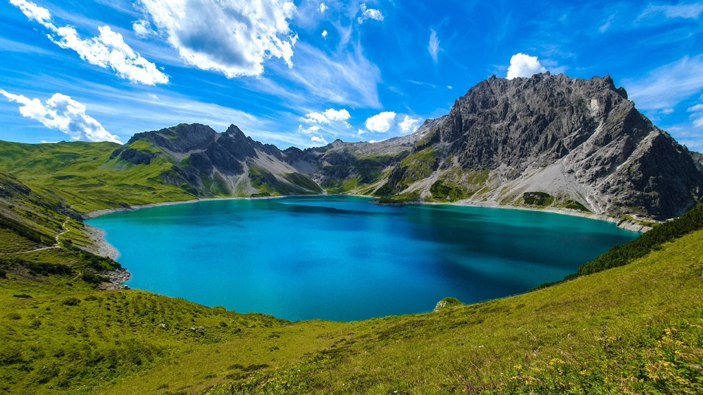
The Lünersee is a picturesque lake at the heart of the Rätikon and is the largest body of water in the range, with a surface area of 1.12 sq km (0.43 sq mi). The Brandner Gletscher is the only glacier remaining in the Rätikon, located just below Schesaplana's summit.
Notable towns and villages in and around the Rätikon include Vaduz, Landquart, Bludenz, and Feldkirch.
The Rätikon consists of one long ridge which snakes from the northwest to the southeast. The ridge's northern end roughly follows the Liechtenstein-Austria border, while the southern end generally follows the Swiss-Austrian border.
The Rätikon is often overshadowed by its neighbors, especially the towering Silvretta Alps. No summits in the Rätikon reach 3,000 m (9,842 ft) in elevation.
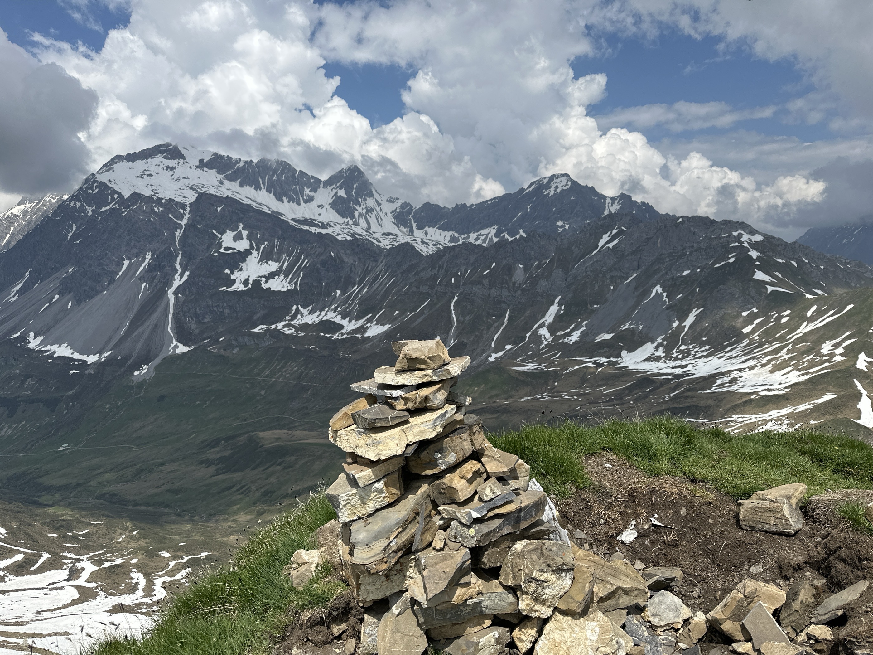
The Rätikon's main ridge is home to the range's highest mountains and sub-groups, including the Schesaplana Group. That said, many sub-ridges branch off the main Rätikon ridge. These sub-ridges are more numerous and lofty at the northern end of the range and lower to the south.
The Rätikon can be divided into 14 sub-groups. The largest group is the Naafkopf-Falknis Chain on Liechtenstein's border. At the heart of the main ridge is the Rätikon's smallest group, the Kirchlispitzen Group.
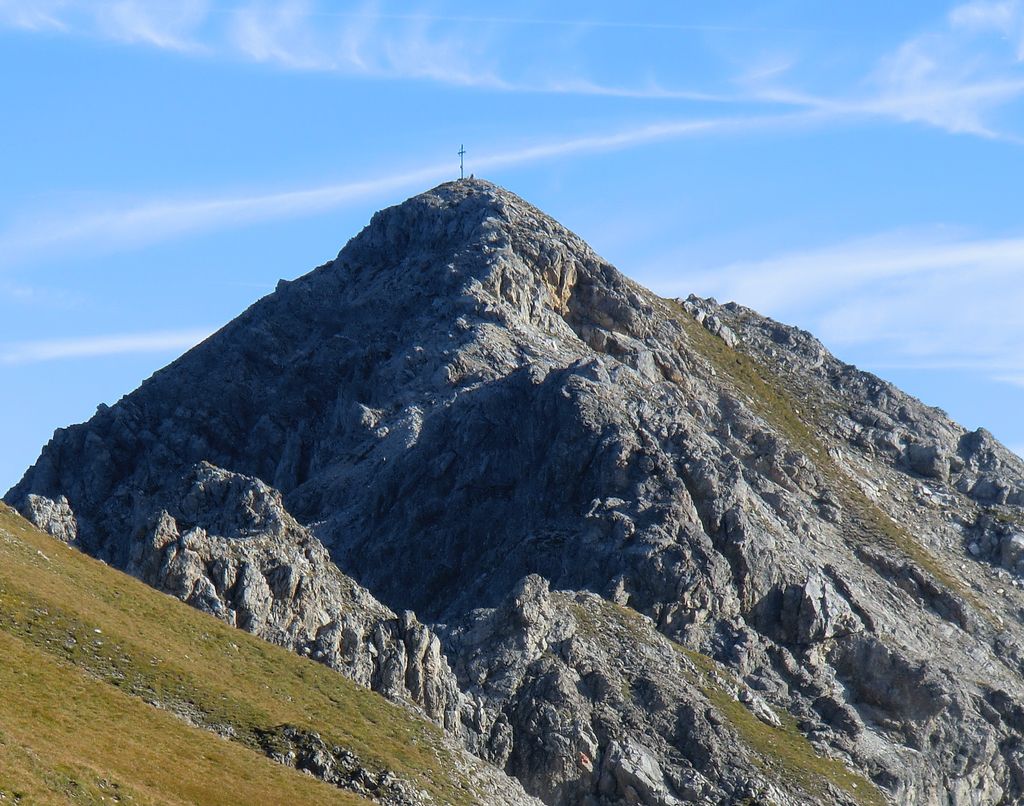
Here's a list of each sub-group, from northwest to southeast, and their highest summits:
The Rätikon's basis began forming approximately 66 million years ago during Alpine Orogeny.
During the Late Mesozoic Era, the African, Arabian, Indian, and Cimmerian tectonic plates to the south collided with the Eurasian tectonic plate to the north.
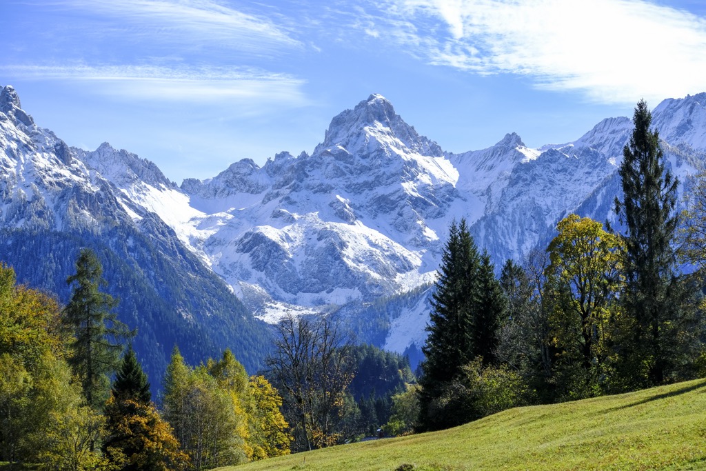
Convergent movement between these tectonic plates formed the Alps, including the Rätikon. The Alpine Orogeny is a recent mountain-building event that is ongoing in some areas of the Alps. The Alpine Orogeny helped to create many of the planet's most significant mountainous areas, from the Atlas Mountains in North Africa to the Himalayas in Central Asia.
While the Rätikon is geographically within the Central Eastern Alps, it is more geologically aligned with the surrounding Northern Limestone Alps and the Western Alps.
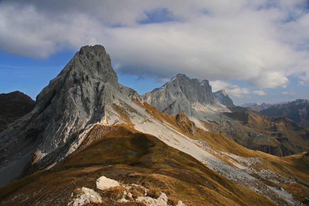
The composition of northwestern Rätikon is sedimentary rocks, primarily limestone. Conversely, the southeastern Rätikon is primarily Graubünden slates, including shists, mica, and calcareous mica schists.
Schesaplana, located near the range's center, is characterized by dolomitic plates and limestone masses interspersed with vibrant thin layers of marl, gypsum, and slate.
Limited glaciation and lush limestone landscapes have enabled numerous mammal and plant species to prosper in the Rätikon.
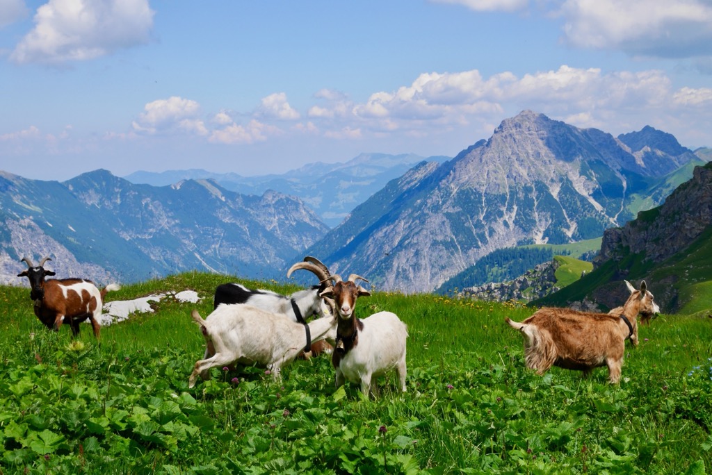
Approximately 80 mammal species live within the Alps. Common species within the Rätikon include chamois, ibex, marmots, squirrels, and mountain hares. Stone martens and foxes are among the main predators in the Rätikon.
While wolves had been extirpated from the Swiss border region since the 19th century, they've been recently spotted back in the area. In 2012, a wolf pack was seen near Chur, roughly 25 km (15.5 mi) southwest of the Rätikon. In September 2023, wildlife cameras captured images of a new pack in the nearby Swiss National Park.
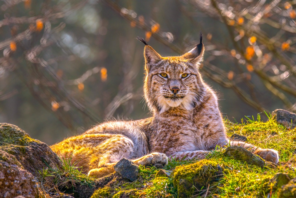
Eurasian lynxes, also extirpated from the region during the 19th century, have recently made a comeback. In July 2023, hunters discovered the first signs of successful lynx reproduction in the nearby Engadine Valley.
Two of the most impressive birds of prey native to the Rätikon are bearded vultures and golden eagles, with wingspans exceeding 2 m (6.5 ft). Other notable bird species in the Rätikon include nutcrackers, black grouses, ptarmigans, and Alpine choughs.
The only venomous snake in the Rätikon is the common European adder, also called the common European viper. Its bite can harm humans, but fatalities are extremely rare. The adder can live in boulder fields and forests up to 3,000 m (9,842 ft) in elevation.
Many insect species thrive in the forests and alpine pastures of the Rätikon, including numerous butterflies. Examples include mountain clouded yellows, small apollos, Alpine blues, and Alpine grizzled skippers.
The Rätikon features primarily mixed coniferous forests. At lower elevations, larches, Norway spruces, and firs are common. Hardier trees, like Arolla pines, are prevalent up to the tree line. Above the treeline at around 2,200 m (7,217 ft), the Rätikon's forests disappear and are replaced by alpine pastures and shrublands.
Flowering plants are widespread on these alpine pastures, with little to no glaciation in the Rätikon. Due to their isolation, the Alps have a high rate of endemism, with over 400 endemic species across the range.
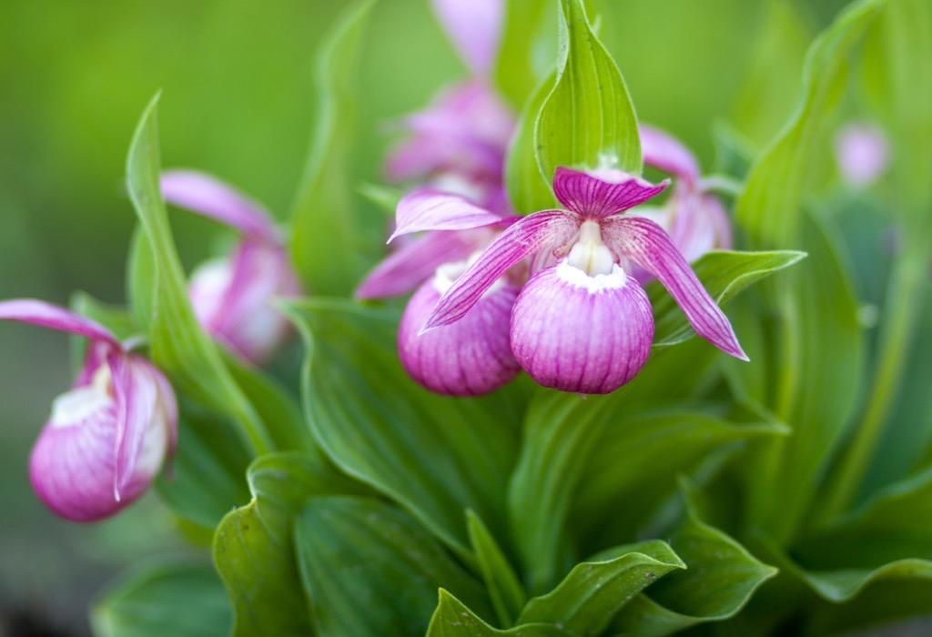
Within the Rätikon's forests, you may encounter cowberry, lady’s slippers, and Alpine clematis. Across the range's alpine pastures, edelweiss, vanilla orchids, alpine asters, and mountain avens are common.
The Rätikon mountains take their name from the Roman province of Raetia. Rhaetian languages, especially Romansh, are still spoken in nearby areas, such as the Grisons canton.
The Rätikon's hiking history is long, with the first reported ascent of its highest summit, Schesaplana, dating back to the early 17th century.
On August 24th, 1610, Bludenz bailiwick David Pappus von Tratzberg and two guides, Christa Barball and Claus Manall, scaled Schesaplana on a border inspection on behalf of the rulers of Bludenz and Sonnenberg.
However, it's now believed David Pappus von Tratzberg only explored the area around Verajoch (2,330 m / 7,644 ft) and didn't climb to Schesaplana's summit, as it wasn't necessary for his survey.
Instead, the actual first ascent took place over 120 years later in the 1730s by Prättigau pastor Nicolin Sererhard and two guides. Their ascent path led over Schafloch (2,771 m / 9,091 ft) and the Brandner Gletscher (2,663 m / 8,736 ft).
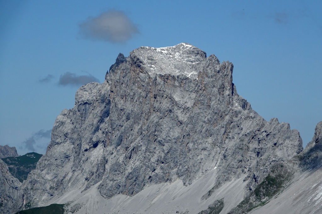
Drusenfluh, one of the Rätikon's top 10 highest summits, was considered unscalable until a Schruns mountain guide, Christian Zudrell, eventually summited on August 14th, 1870.
His ascent took him across the Zudrellband, which runs over the mountain's exposed, several hundred-foot-high south face. As a testament to the difficulty of the climb at the time, the second ascent took another 18 years. Drusenfluh is now a popular rock-climbing destination and a part of the long-distance Pättigauer Höhenweg hiking trail.
Anton Neier made the first successful ascent of Zimba, nicknamed the Rätikon Matterhorn, from Bludenz on September 8th, 1848. Neier is also credited for climbing the Rätikon's second and third-highest mountains, Panüelerkopf and neighboring Salaruelkopf (2,841 m / 9,649 ft), in 1849.
Schesaplana, the Rätikon's highest peak, is featured prominently in the 1880 children’s book Heidi, a global sensation estimated to have sold over 50 million copies. That makes it the second most popular children’s book (after Le Petit Prince) and ranks it somewhere around the 20th best-selling book ever. The story of Heidi has transcended its pages, spawning numerous sequels, movies, and television shows in dozens of languages.
The Rätikon is one of the Alps' finest areas for winter sports, with many ski tours, long-distance trails, and day hikes to enjoy.
Additionally, the Rätikon is home to some of the finest mountains for experienced climbers in the Alps, including Zimba, Drusenfluh, and Kirchlispitzen.
Ensure you come prepared with plenty of provisions and the correct equipment when hiking in the Rätikon. Check local weather forecasts, map out your route carefully, and inform others of your itinerary.
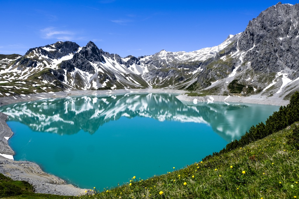
Schesaplana (2,964 m / 9,725 ft) is the Rätikon's highest mountain and one of its most popular hiking destinations. Two of the range's most famous natural landmarks are near Schesaplana, with the Brandner Gletscher to the northwest and the Lünersee to the east.
Be sure to check out our in-depth feature article on climbing Schesaplana and the story behind the mountain.
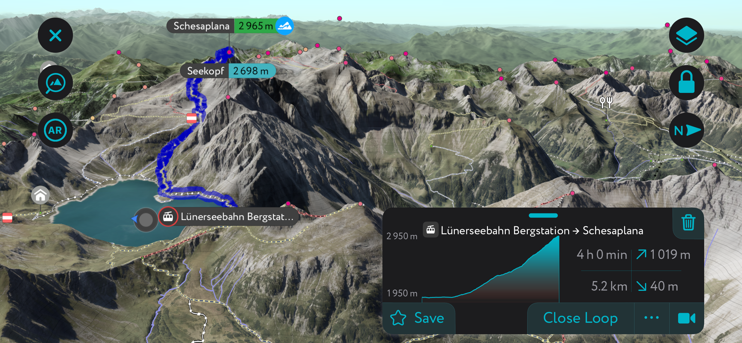
You can climb Schesaplana from any direction, but the most popular route is from the Lünerseebahn cable car station to the east. This route is also an excellent ski tour.
You can ride the cable car to the Douglasshütte (1,976 m / 6,482 ft) if you want to skip the steep Böse Tritt path, which is partially secured with ropes. The Douglasshütte rests on the Lünersee's northern shoreline and is the perfect spot for a refreshment or snack before tackling Schesaplana.
At the sign for the Lünersee circular trail, walk to the right, passing the Totalalp hut (2,385 m / 7,825 ft) on the way to the Schesaplana's summit, which is marked with a large cross.
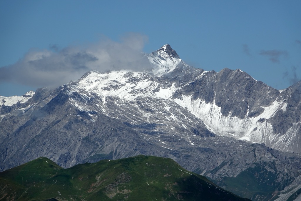
Schesaplana's position near the Rätikon's geographical center means it affords incredible 360° views. To the east, along Schesaplana's ridge, are Felsenkopf (2,834 m / 9,301 ft) and Zirmenkopf (2,805 m / 9,206 ft). To the northeast is the Rätikon Matterhorn, Zimba (2,643 m / 8,678 ft).
On a clear day, you can see all the way to the Valais (Wallis) Mountains, home to Monte Rosa (4,634 m / 15,203 ft), the Alps' second-highest mountain after Mont Blanc (4,808 m / 15,774 ft).
The route from the Lünerseebahn cable car station to Schesaplana is approximately 13.5 km (8.3 mi) in length.
Grauspitz is the highest mountain in Liechtenstein and the highest summit in the Rätikon west of the Schesaplana Group. Grauspitz has two main summits: Vorder Grauspitz (2,600 m / 8,530 ft) and Hinter Grauspitz (Schwarzhorn) (2,574 m / 8,444 ft).
While there are numerous trails on and around Grauspitz, no marked trail leads to its summit. Grauspitz is less popular and more difficult to reach than Naafkopf (2,571 m / 8,435 ft) to the east, but it's worth the considerable effort to reach the roof of Liechtenstein.
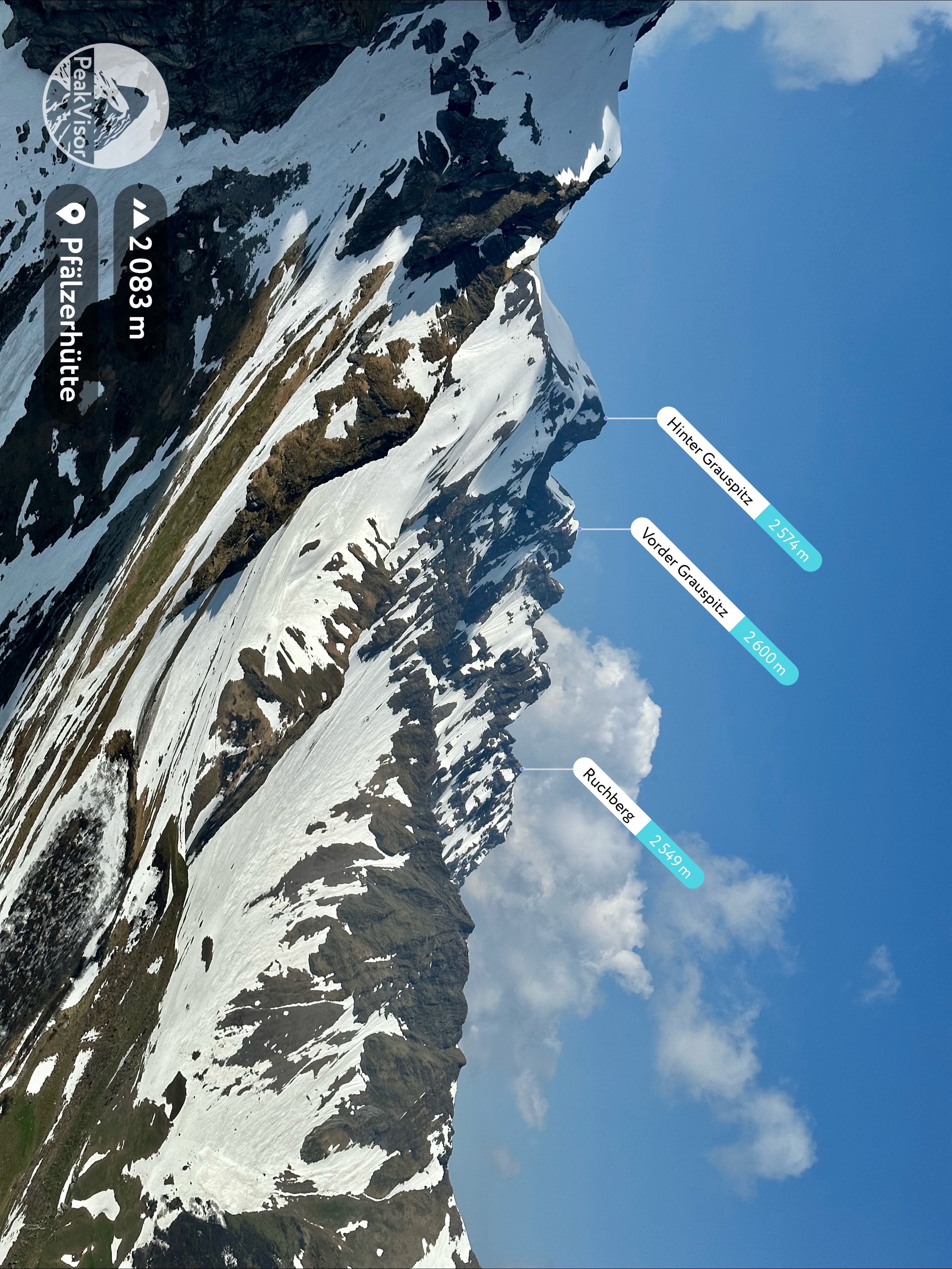
The easiest way to climb Grauspitz is from Steg to the north, following its eastern knife-edge ridge over Hinter Grauspitz (Schwarzhorn). Grauspitz is only suitable for experienced hikers and involves some rock climbing. The Swiss Alpine Club (SAC) rates Grauspitz a T3/T4 on its hiking scale.
It's possible to split climbing Grauspitz into two days, stopping at the Pfälzerhütte (2,111 m / 6,925 ft). You'll have sweeping views of Liechtenstein from the summit, with Piz Bernina (4,048 m / 13,281 ft) visible 80 km (50 mi) to the south. This route is approximately 16 km (10 mi) in length.
Sulzfluh (2,818 m / 9,245 ft), the eighth-highest mountain in the Rätikon, is hugely popular with hikers. This is partly due to its T4-graded mountain trail, which takes hikers to the jagged, beautiful peak without any rock climbing.
Six caves, including the 3,080 m (10,104 ft) long Apollohöhle, are carved into Sulzfluh's limestone slopes. These caves are popular attractions, and some caves, like Seehöli and Chilchhöli, can be partially explored with the right equipment.
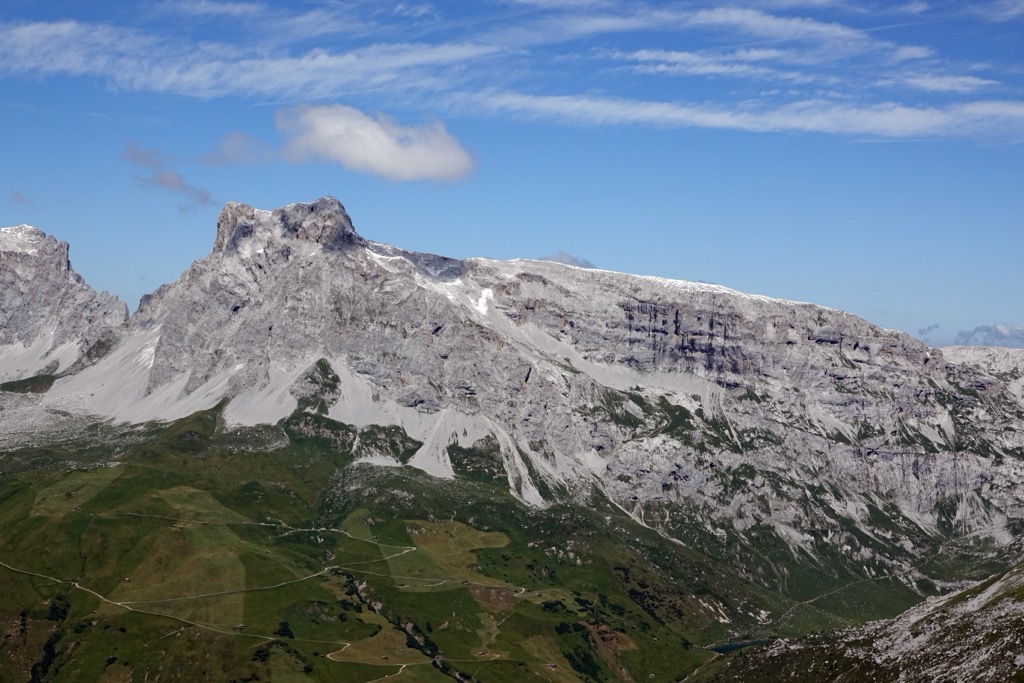
You can pick up the trail to Sulzfluh's summit from the Alpenrösli (1,777 m / 5,830 ft) in Partnun to the south. After crossing pastures to reach Gamstobel, you'll climb steeply uphill with carved steps and secured ropes to make progress easier.
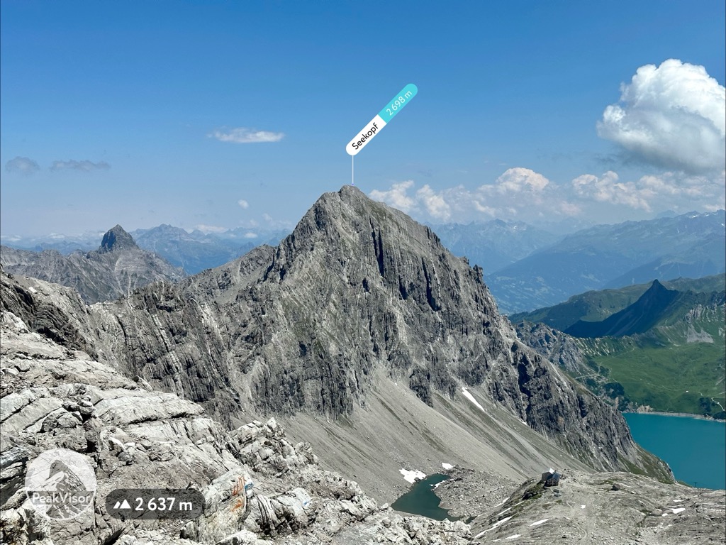
After climbing some loose scree slopes, you'll reach 2698 m (8,851 ft) in elevation. After a short detour to Sulzfluh's true summit, you'll descend via Tilisunahütte (2,211 m / 7,253 ft), passing some of the mountain's karst caves on the way down to Partnunsee (1,869 m / 6,131 ft).
This out-and-back trail is approximately 13.5 km (8.4 mi) in length.
Grauspitz's neighbor, Naafkopf (2,571 m / 8,435 ft), is famous for straddling the tri-border point between Austria, Liechtenstein, and Switzerland. It's the third-highest summit in Liechtenstein after Grauspitz's twin peaks.
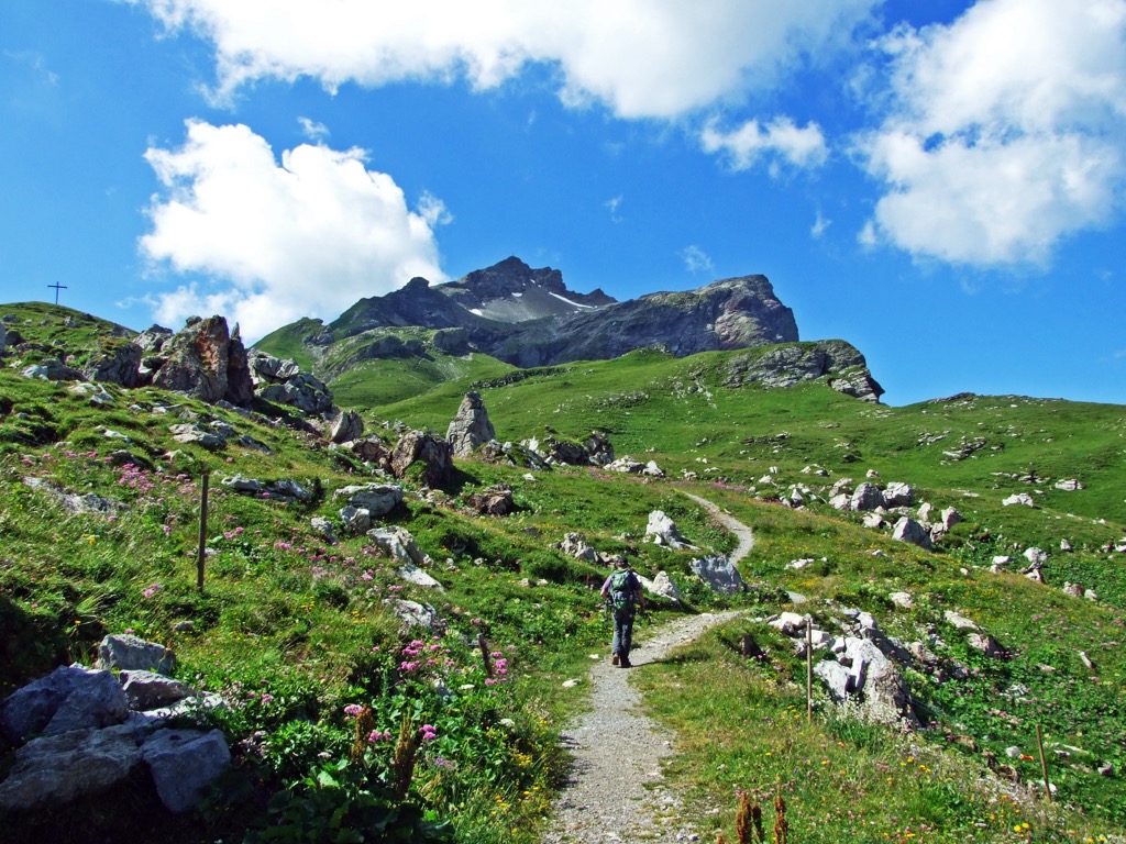
Naafkopf's popular normal route is demanding but with a short ascent from the Pfälzerhütte (2,111 m / 6,925 ft). You can start this walk from Sareis in Malbun to Sareiserjoch (1,992 m / 6,535 ft), following the Fürstin-Gina-Bergweg trail past Spitz (2,187 m / 7,175 ft) to Augstenberg (2,359 m / 7,739 ft).
From Augstenberg, follow the ridge southwards to Bettlerjoch (2,108 m / 6,916 ft) and then Pfälzerhütte. It's a short, steep 2 km (1.2 mi) walk from Pfälzerhütte to Naafkopf's summit.
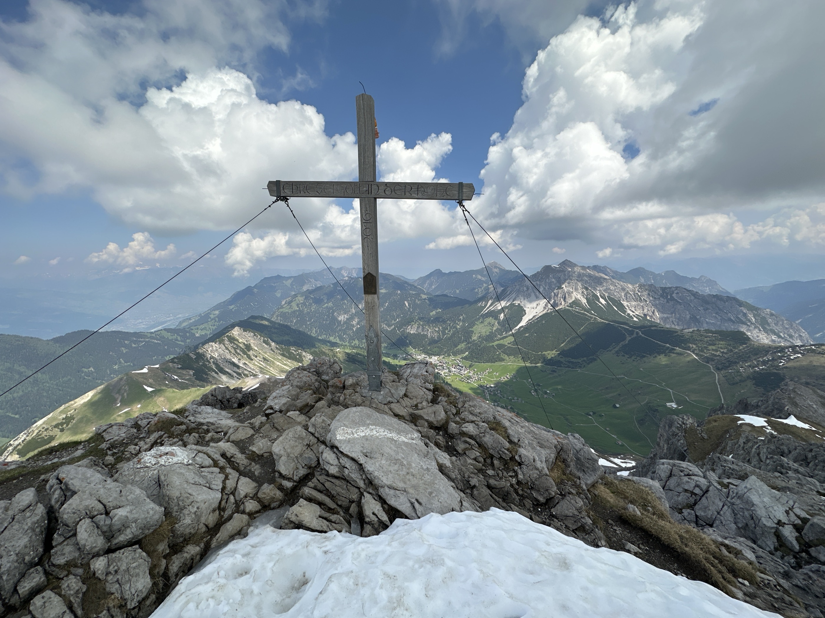
The views from Naafkopf are clear and far-reaching, with the Schesaplana Group being the only nearby neighbor blocking your view. On a clear day, you can spot Piz Bernina to the south and Säntis (2,502 m / 8,208 ft), the highest mountain in the Alpenzell, to the northwest.
You can descend by continuing to the Barthümeljoch (2,305 m / 7,562 ft) through a short alpine access tunnel to Fläscher Alp. From Vorderalp, head to Älplibahn, where you can ride the cable car to Malan. This T3-graded hike takes approximately 8.5 hours to complete.
Mottakopf (2,176 m / 7,139 ft) sits at the far eastern end of the Schesaplana Group and is the home mountain of Brand, the main resort village in the eastern Rätikon.
Despite its relatively low elevation, Mottakopf is a fairly long and steep T2-graded hike. But the effort is worth it, as Mottakopf delivers some of the finest views of the Brandnertal Valley.
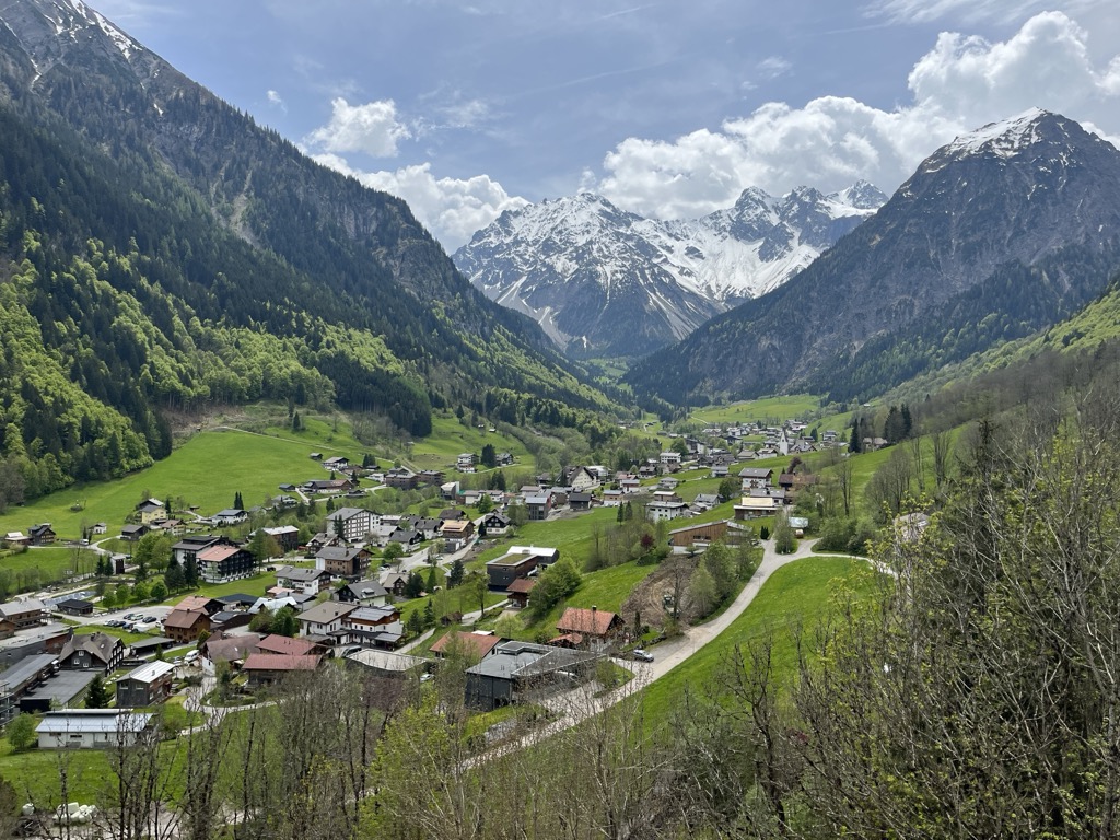
You'll also have unmatched views of the Wildberg Cirque. Alongside the Cirque de Gavarnie, the Wildberg Cirque is one of the most beautiful in the Alps, featuring a 1500 m (4,921 ft) drop to the valley floor and the sublime Gletscherbach Waterfall.
You can begin your ascent of Mottakopf from Innertal Brand. This hike leads in the direction of Schattenlagant (1,483 m / 4,865 ft) to the Gletscherbachbrücke bridge.
The trail then climbs uphill to the Obere Sonnenlagant Alpe. From here, white-blue-white markings guide you to Mottakopf's summit. This hike is approximately 17.5 km (10.8 mi) in length.
Drei Schwestern (2,053 m / 6,735 ft), or the Three Sisters, is a tri-peaked mountain in the northwestern corner of the Rätikon on the Austrian-Liechtenstein border.
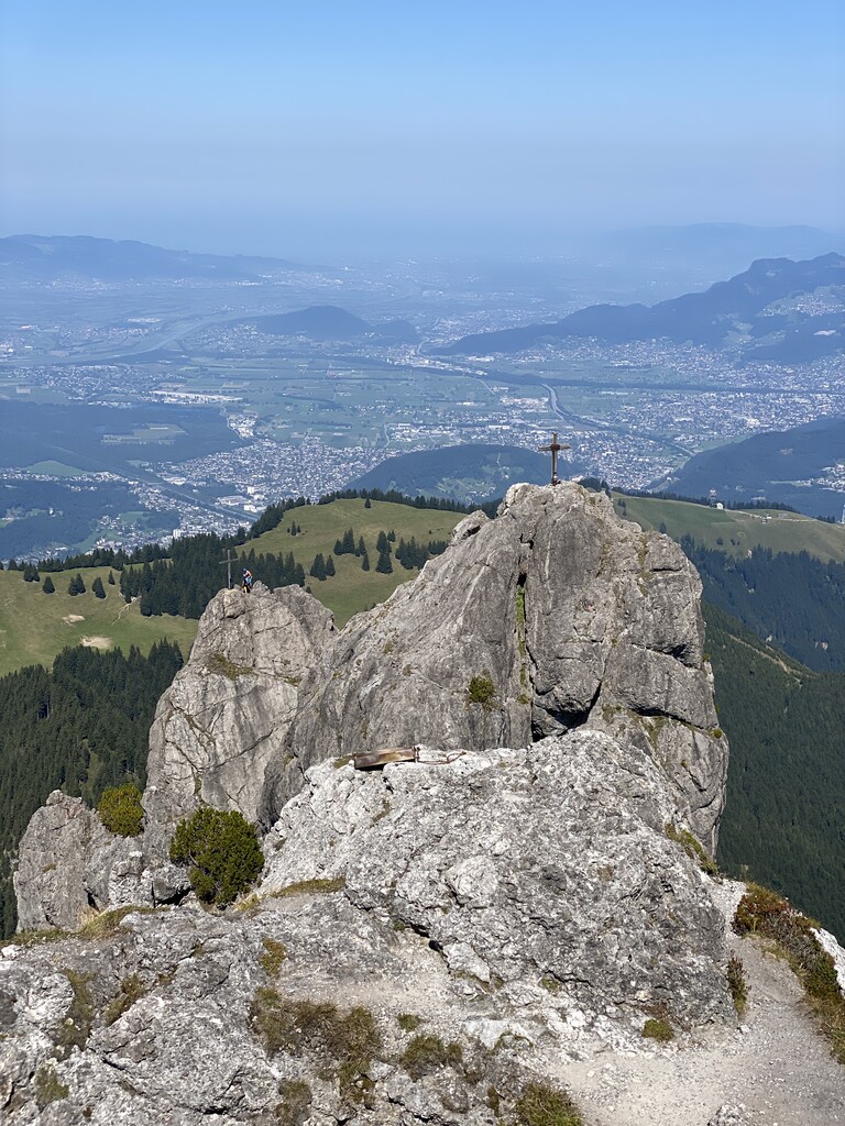
Well-connected by roads and with rugged limestone summits, Drei Schwestern is one of the Rätikon's best climbs. Sure-footedness and a head for heights are necessary for hiking Drei Schwestern.
The Drei-Schwestern-Weg / Fürstensteig is one of the most popular ways to explore Drei Schwestern. You can pick up the Fürstensteig trail from Gaflei.
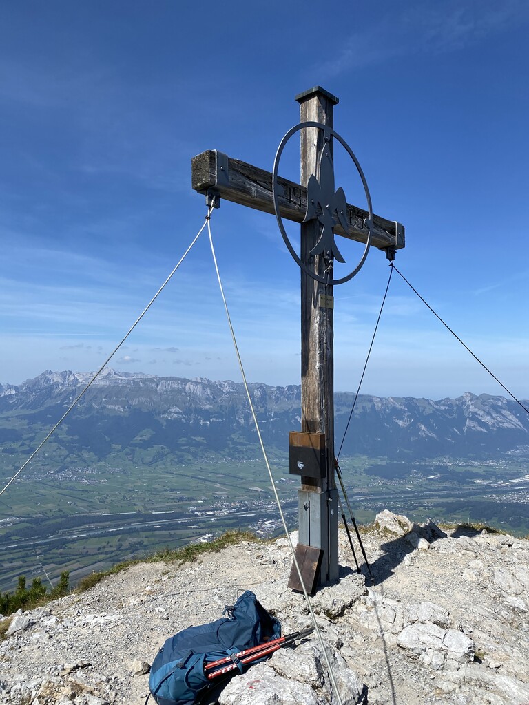
You'll start by climbing up to Gafleisattel (1,856 m / 6,089 ft) and then following Liechtensteiner Panoramaweg and Via Alpina over Kuhgrat (2,123 m / 6,965 ft), the highest of Drei Schwestern's summits.
You'll then climb over Garsellikopf (2,105 m / 6,906 ft) and descend to the north via Sarojasattel (1,630 m / 5,347 ft) and Gafadurahütte (1,431 m / 4,694 ft) to reach your endpoint in Planken. The Drei-Schwestern-Weg / Fürstensteig is approximately 12 km (7.4 mi) long.
Prättigauer Höhenweg is one of the highlights of the Rätikon's many long-distance trails. It weaves its way across the Rätikon's sunnier Swiss side from Klosters to Malan. The trail is marked white-red-white and is grade T2 on the SAC hiking scale.
The Prättigauer Höhenweg is split into four stages and is approximately 68 km (42.2 mi) in length. Along the way, you'll enjoy spectacular views of many of the Rätikon's most beautiful mountains, including Sulzfluh, Schesaplana, and Kirchlispitzen.
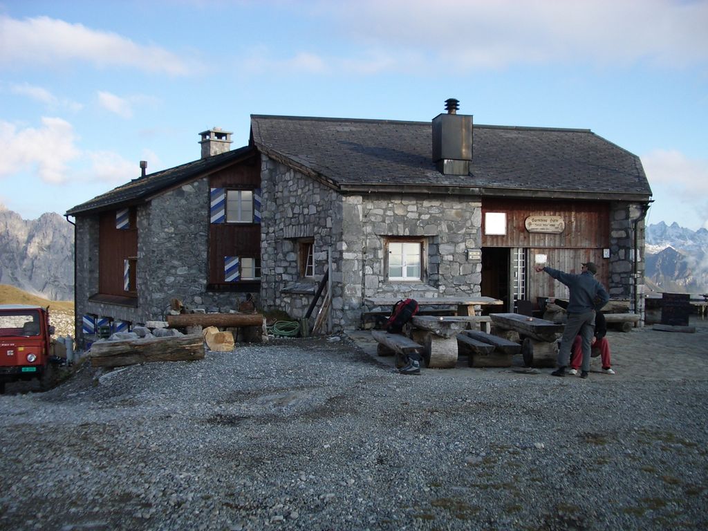
Stage 1 leads from Klosters to St. Antönien. You'll start by riding the Madrisabahn to Saaser Alp, which is 1,888 m (6,194 ft) in elevation.
You'll then pass over Jägglisch Horn (2,289 m / 7,513 ft), enjoying views of the entire Rätikon before a long descent to St. Antönien. The Prättigauer Höhenweg Stage 1 is 12.7 km (7.9 mi) in length.
Stage 2 runs from St. Antönien to the Carschinahütte (2,236 m / 7,336 ft). The trail heads northeast to the foot of Sulzfluh, providing excellent views of the mountain and its many rock climbers. It then loops around Partnunsee before reaching Carschinahütte. The Prättigauer Höhenweg Stage 2 is 9.9 km (5.6 mi) in length.
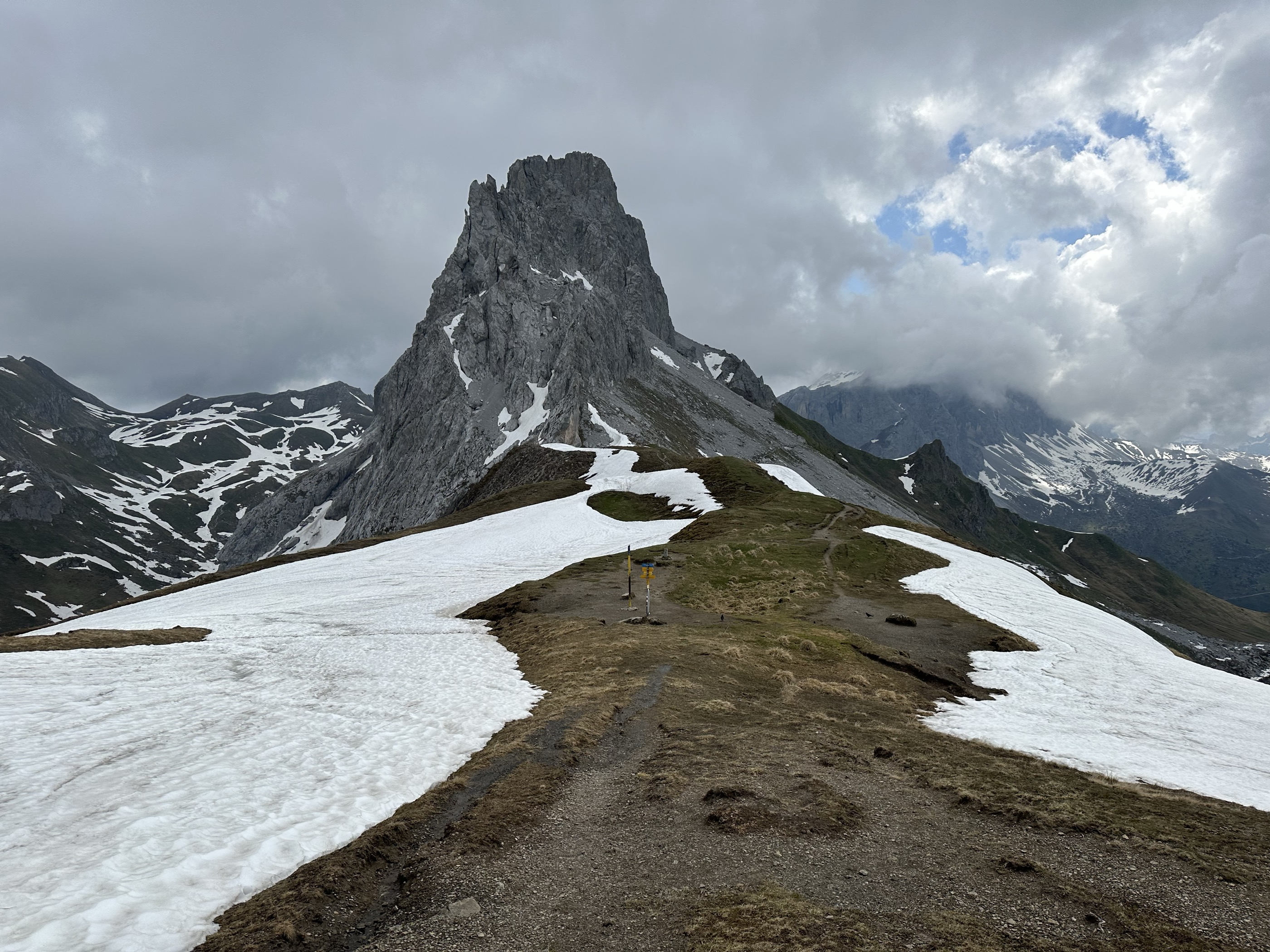
Stage 3 passes from Carschinahütte to Schesaplanahütte (1,908 m / 6,260 ft). It offers perhaps the finest mountain views of the Prättigauer Höhenweg, passing over the slopes of the rugged Drei Türme (Three Towers), including Drusenfluh (2,827 m / 9,275 ft).
From Gafalljoch (2,239 m / 7,346 ft), there are terrific views of the Lünersee. The Prättigauer Höhenweg Stage 3 is 15.8 km (9.8 mi) in length.
Stage 4 leads from Schesaplanahütte to Seewis near Malan. From Schesaplana's foot, you'll pass by the Fasons Alpine Museum on the way to Heidbühel (1,822 m / 5,978 ft) and Alp Stürvis.
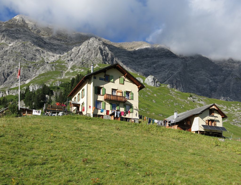
The Prättigauer Höhenweg ends in the Seewis, a popular resort where you can enjoy a well-earned rest and a bite to eat. The Prättigauer Höhenweg Stage 4 is 16.3 km (10.1 mi) in length.
Other popular long-distance trails worth checking out in the Rätikon include the Rätikon Höhenweg and Via Alpina stages R56 to R62.
A handful of refuges operate in the area, but we’ll focus on the three most important around Schesaplana: the Totalphütte, Mannheimer Hütte, and Douglass Hütte.
The Totalphütte sits at 2,385 m (7,824 ft) on a small bench between Lünersee and Schesaplana. It takes about an hour and a half to reach the hut from the lake. After the hut, the hardest part of the climb awaits.
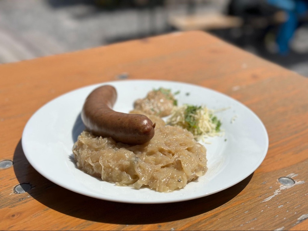
Totalphütte offers plenty of beds for those hoping to stay the night. Still, you have to make reservations beforehand. Alternatively, you can stop in for lunch and enjoy one of the incredible regional sausages with sauerkraut. Like many alpine huts, the Totalphütte deals only in cash, so have some ready, or you won’t be able to eat here!
Note that the hut doesn’t open until June 16th, 2024, despite the Lünerseebahn opening on May 18th. However, there will likely be too much snow to hike to this altitude anytime before then, so it works out.
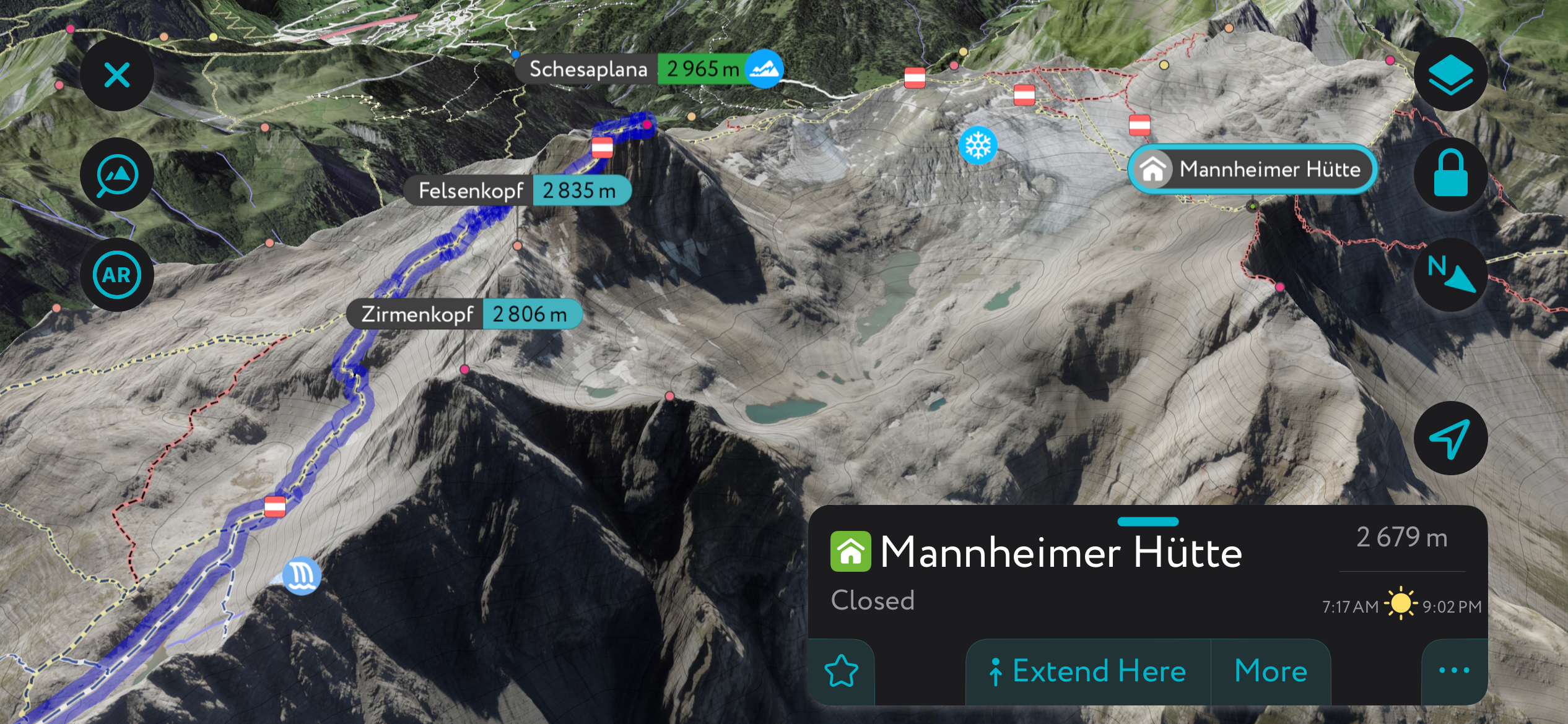
The Mannheimer is the most adventurous hut on this list. It’s Schesaplana, full value. After summitting, you head west across the ridge and eventually north down the remaining ice field of the Brandner Glacier. The Mannheimer is perched upon the ridge at nearly 2,700 meters, with fantastic views of the Schesaplana, the Brandner, and the surrounding ranges. As I’ve mentioned, it’s not overly technical, but a standard glacier kit is requisite; this might not be one for the Heidi crowd.
The Douglass Hütte is right next to the Lünerseebahn station. It’s a popular stop for snacks, lunch, drinks, coffee, or sweets. The terrace offers panoramic views of the lake and surrounding mountains. There are beds here as well, for those who want the experience of staying at a hut but don’t want to walk.
You'll find a superb variety of ski areas across the Rätikon in Switzerland, Liechtenstein, and Austria.
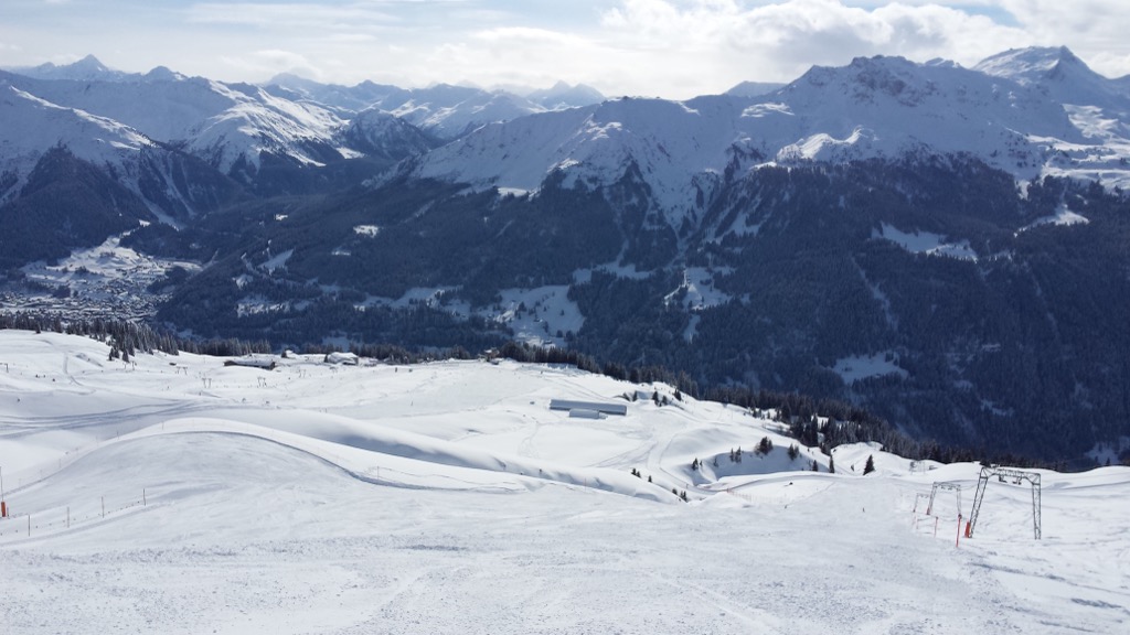
These are eight of the most significant ski areas in the Rätikon:
Whether visiting one of the Rätikon's many ski areas or planning a ski tour off the beaten path, the PeakVisor App is an essential tool. The PeakVisor App offers thousands of exciting routes to discover, with more added daily.
Let's briefly examine some of the most popular ski tours in the Rätikon, which is within one of PeakVisor's most comprehensively mapped regions.
Rätschenhorn (2,705 m / 8,874 ft) and the neighboring Madrisahorn (2,826 ft / 9,272 ft) are two classic mountains for ski tours. Also known as Rätschenflue, Rätschenhorn sits at the end of the beautiful Ascharina Valley and is easily accessible thanks to the nearby ski areas.
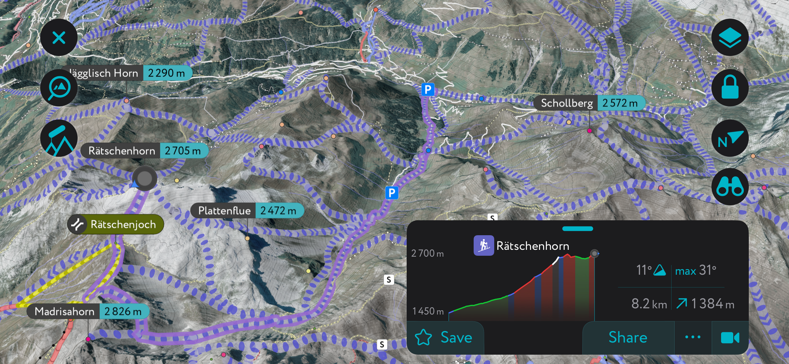
One of the most popular ski tours to Rätschenhorn is from St. Antönien, climbing just short of Madrisahorn's summit before following the western ridge to Rätschenhorn.
You can also take a short detour to scale Madrisahorn if you fancy bagging these classic summits simultaneously. This ski tour of Rätschenhorn is approximately 8 km (5 mi) in length.
The Drei Türme (Three Towers) is a group of three dramatic summits on the Austrian-Swiss border. The highest of the three is Großer Turm (2,830 m / 9,280 ft). The Eisjöchle (2,638 m / 8,654 ft) mountain pass separates Drei Türme from the sublime Drusenfluh.
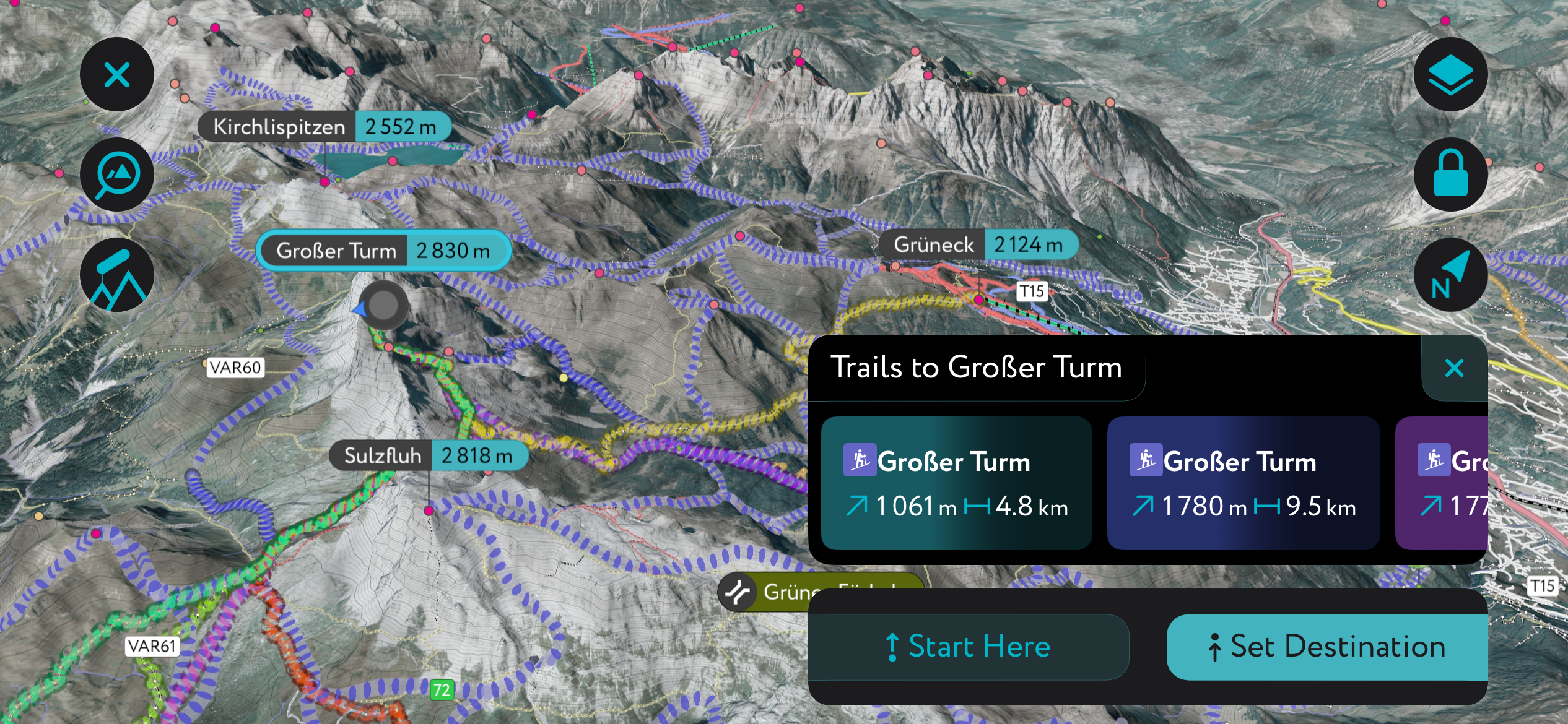
The Drei Türme is excellent for ski tours, with the Lindauer Hütte (1,744 m / 5,721 ft) perfectly placed to the northeast. The tour starts from Schruns and leads to Lindauer Hütte.
From Lindauer Hütte, the trail is marked red-white-red. It skirts around Kleiner Turm (2,754 m / 9,035 ft) and Mittlerer Turm (2,782 m / 9,127 ft) to reach Großer Turm's summit. This ski tour is approximately a 16.7 km (10.4 mi) round-trip.
We've updated the PeakVisor App to make it even more helpful for your ski tour adventures.
The app now provides information on mountain hut opening hours and schedules to help your next ski tour go smoothly. We've also included local weather forecasts - including snowfall data - sourced from weather stations worldwide.
With the finest settlements in Liechtenstein and several popular ski resorts on the doorstep, the Rätikon has no shortage of excellent places to stay during your next outdoor adventure.
The nearest major international airport to the Rätikon is Zurich Airport, located approximately 100 km (61 mi) to the northwest. St. Gallen–Altenrhein Airport, a small regional airport, is located approximately 45 km (28 mi) to the north.
Vaduz is the capital of Liechtenstein, on the Rätikon's western border. It's one of the smallest capital cities in Europe, with just over 5,600 people.
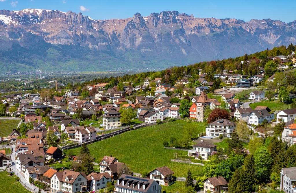
Vaduz is renowned for the 12th-century Vaduz Castle, which sits on a hillside overlooking the capital. It's the perfect base to scale the best summits in the western Rätikon, with Oschenkopf, Naafkopf, and Grauspitz within 15 km (9.3 mi) from the city.
Feldkirch is the Austrian town at the northern tip of the Rätikon. With over 33,000 people, it's the largest settlement in the Rätikon.
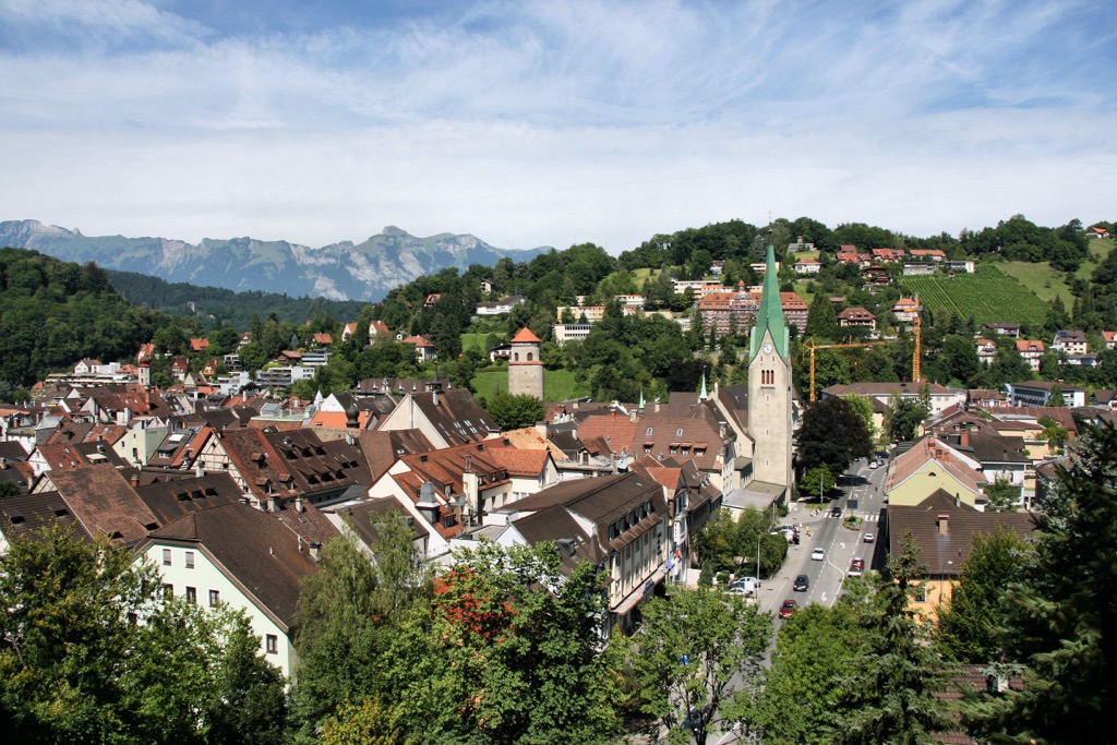
Feldkirch is a picturesque medieval town dating back to the 13th century. One of its main attractions is Schattenburg Castle, built in 1200 by Count Hugo von Montfort.
Feldkirch is in a great position to explore some of the best summits in northern Rätikon. Galinakopf (2,198 m / 7,211 ft) and Drei Schwestern (2,053 m / 6,735 ft) are under 10 km (6.2 mi) away.
Bludenz in Vorarlberg is the second-largest town in the Rätikon, with a population of over 15,000. It sits on the Ill River on the range's northeastern edge.
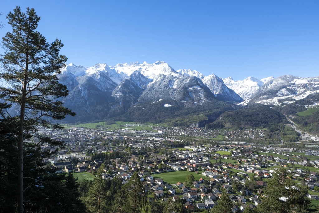
Bludenz is located between the Silvretta Alps, Rätikon, Lechquellen Mountains, and Bregenz Forest Mountains. It's also at the convergence of five large valleys: Walgau, Montafon, Brandnertal, Klostertal, and Großes Walsertal.
Its position means it's close to many popular mountains in several ranges. Schesaplana, Rote Wand (2,704 m / 8,871 ft), Zimba, and Mottakopf are all within 15 km (9.3 mi) of Bludenz.
Klosters is a large village on the Rätikon's southern boundary, with a population of over 4,400. The village's popular ski area is connected to Davos to the south within the Silvretta Alps.
Klosters is a charming village spread across Prättigau and split into two main parts: Klosters Dorf and Klosters Platz. It's close to some of the best mountains in the southern Rätikon, with Madriahorn and Sulzfluh within 15 km (9.3 mi) of Klosters.
Explore Rätikon with the PeakVisor 3D Map and identify its summits.

