Scan the QR code and open PeakVisor on your phone
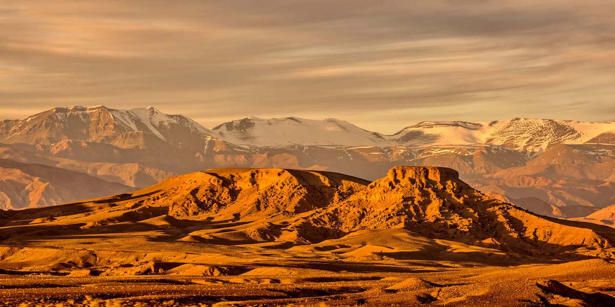
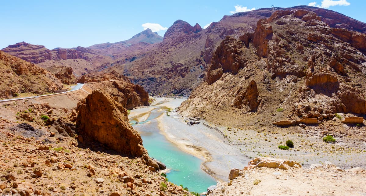
Forming a barrier between the Mediterranean Sea and the vast Sahara Desert, the rugged Atlas Mountains are a major chain of peaks that runs through Morocco, Tunisia, and Algeria. The range contains 32,505 named peaks, the highest and most prominent of which is Toubkal (4,167m/13,671ft) in Morocco.
The stunning Atlas Mountains (French: L’Atlas/Arabic: جبال الأطلس/ Berber: ⵉⴷⵔⴰⵔⵏ ⵏ ⵡⴰⵟⵍⴰⵙ) is a major mountain system that runs traverses the majority of the Maghreb (المغرب) in northwestern Africa. Throughout the course of its 2,500km (1,600 mi) extent, the Atlas Mountains cover parts of Tunisia, Algeria, Morocco, and, technically, the autonomous cities of Melilla and Ceuta, which are both part of Spain.
Due to the immense size of the Atlas Mountains, the range is generally broken up into different sub-ranges, including the Anti-Atlas, the High Atlas, the Middle Atlas, the Saharan Atlas, the Tell Atlas, and the Aurès Mountains.
Moreover, the Atlas Mountains serve as a major topographical feature in Northern Africa. The range is located to the north of the Sahara Desert (الصحراء الكبرى), which separates the Atlas from the Ahaggar Mountains (جبال هقار) in southern Algeria and the Tibesti Mountains (جبال تبستى) in Libya and Chad.
It is also situated to the south of the Strait of Gibraltar of the Alboran Sea and the Mediterranean Sea, which separates them from their nearest mountain range neighbor, in Spain and Gibraltar - the Andalucian Ranges.
Since the Atlas Mountains are so massive, it’s generally easiest to discuss the geography of the range by region as broken down by the three primary countries that the Atlas Mountains pass through.
Encompassing a wide swath of Morocco, the Atlas Mountains stretch from Guelmim (گلميم) in the southwest to the country’s border with Algeria to the north, east, and southeast. The range includes nearly all of morocco except for the relatively low-lying area in the Chaouia Plains around Casablanca (الدار البيضاء) and the southernmost part of the country in the Sahara Desert.
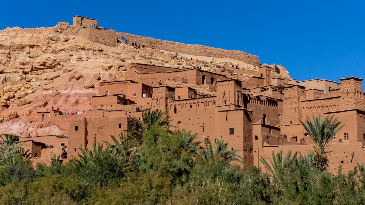
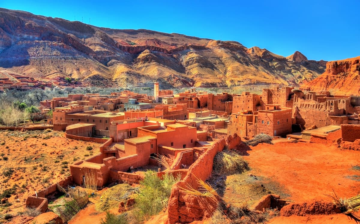
Morocco contains four of the Atlas Mountains’ subranges, including the Anti-Atlas, the High Atlas, the Middle Atlas, and the Tell Atlas. With the exception of the Tell Atlas, much of the Atlas subranges in Morocco are part of the traditional territory of the Berbers.
There are quite a few national parks in the Morrocan region of the Atlas Mountains, including:
Within Algeria, the Atlas Mountains dominate the country’s northern coastline along the Mediterranean. The range stretches from the country’s border with Morocco to the west to its border with Tunisia to the east and it extends about as far south as the northernmost part of Béchar Province.
In Algeria, the most prominent Atlas Mountains subrange is the Tell Atlas along the country’s northern coast. However, the Aurès Mountains and the Saharan Atlas also dominate parts of the country.
Algeria’s Atlas Mountains contain a number of different national parks, including:
The smallest country that includes parts of the Atlas Mountains, Tunisia includes the easternmost extent of the range. In Tunisia, the primary Atlas Mountains subrange is the Aurès Mountains, which cover much of the northwestern part of the country.
Within Tunisia’s Atlas Mountains, there are also a handful of popular parks and outdoor recreation areas, including:
The Atlas Mountains are home to a number of very high and exceptionally prominent peaks, including Toubkal, Ighil Mgoun, Adrar Bou Nasser, Djebel Chélia, Idga, and Koudiet Tirbîrhîne. However, as a result of the Atlas Mountains’ vast geography and multiple subranges, the region’s geologic history is fairly complex.
Therefore, the best easiest way to understand the range’s geology is to break it down by subrange.
Located in the southwestern part of Morocco, the Anti-Atlas (الأطلس الصغير/ⴰⵟⵍⴰⵙ ⴰⵎⴻⵥⵢⴰⵏ) range stretches from the Atlantic Ocean to the city of Tafilalt (تافيلالت) in the north over a course of about 500km (310 mi). The subrange’s highest point is Jebel Sirwa in the Souss-Massa (سوس ماسة/ⵙⵓⵙ ⵎⴰⵙⵙⴰ) region of Morocco.
The Anti-Atlas subrange started to form about 300 million years ago during the Paleozoic as the result of tectonic collision. In particular, it’s believed that the range began forming during the Alleghanian orogeny, which was also partially responsible for the creation of the Appalachian Mountains.
During the Paleogene and Neogene, the region also experienced widespread uplift, leading to the formation of the Anti-Atlas mountains that we see today.
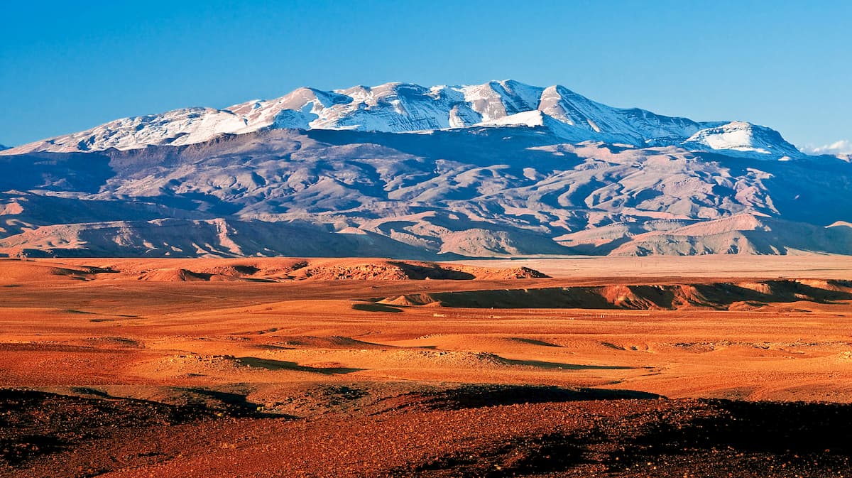
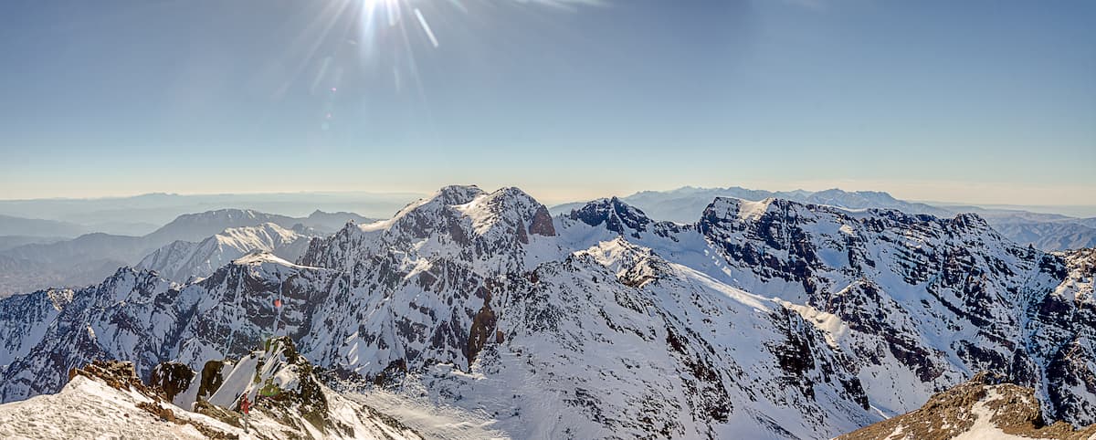
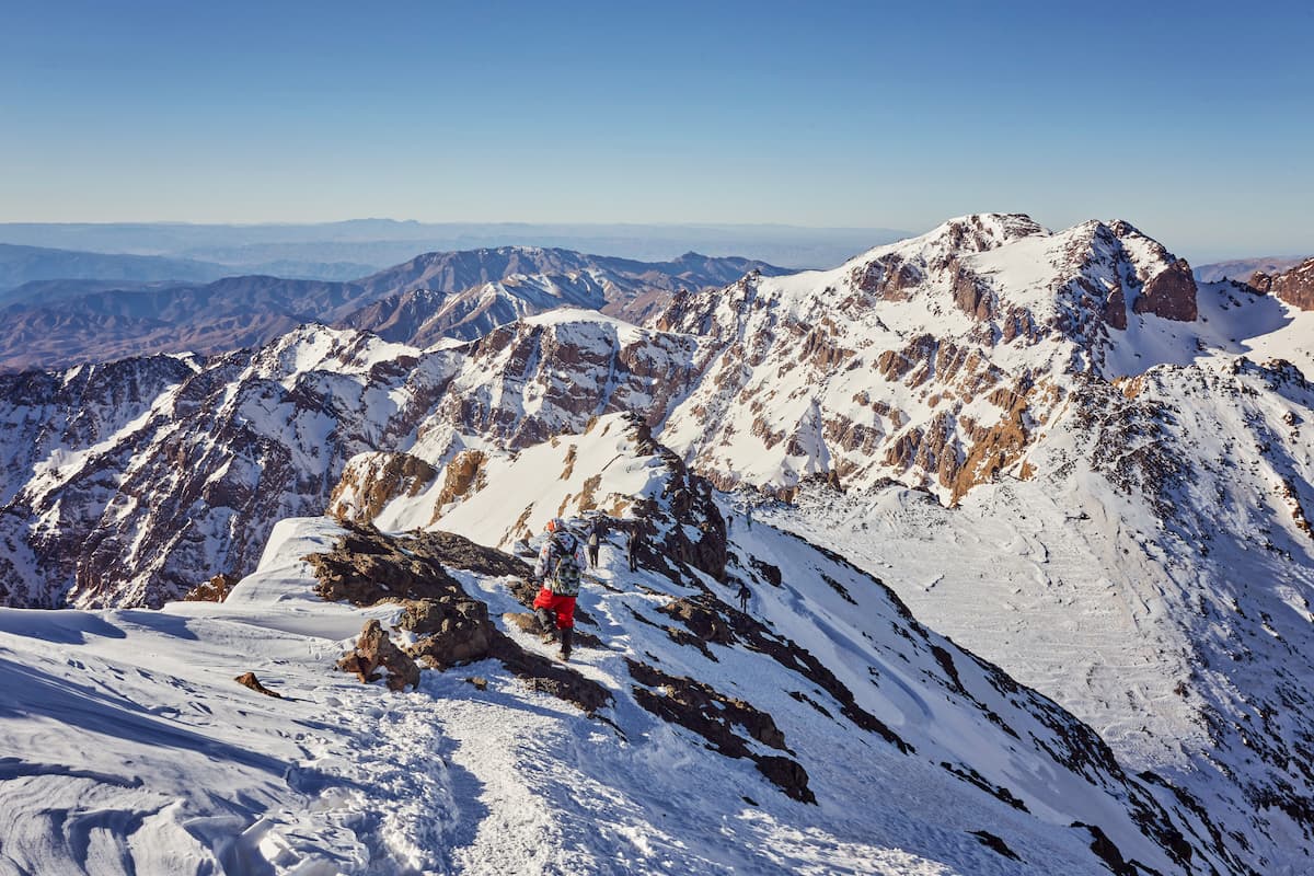
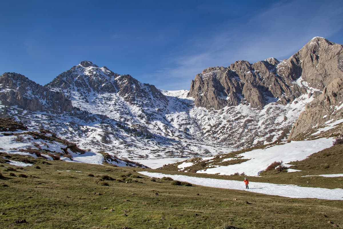
The High Atlas (Haut Atlas/اَلْأَطْـلَـس الْـكَـبِـيْـر/ⴰⴷⵔⴰⵔ ⵏ ⴷⵔⵏ), also known as the Grand Atlas, contains the loftiest region of the Atlas Mountains. Situated in central Morocco between the Atlantic Ocean and the Algerian border, the High Atlas is home to Toubkal, which is the highest peak in the entire range.
Due to the subrange’s prominence, the High Atlas often blocks the movement of weather systems as they move throughout Northern Africa, leading to a fairly sizable amount of snowfall. This snowfall allows for winter sports and Morocco actually has a number of ski resorts in the region, including Oukaïmeden (أوكايمدن/ⵓⴾⴰⵢⴻⵎⴷⴰⵏ).
Geologically, the mountains in the High Atlas formed as a result of a number of complex geological processes, including rifting and faulting. In particular, the region is dominated by horst-graben topography which was uplifted to its high position during the Cenozoic as the Eurasian and African plates collided.
Extending northward from the High Atlas, the Middle Atlas ( الأطلس المتوسط/ⴰⵟⵍⴰⵙ ⴰⵏⴰⵎⵎⴰⵙ) is the second highest of Morocco's Atlas Mountain Ranges, with a number of peaks reaching well above 2,000m (6,500ft). The subrange runs for about 350 km (220mi) from southwest to northeast and its highest point is Adrar Bou Nasser (a.ka. Jbel Bou Naceur).
Much of the Middle Atlas is comprised of limestone, though there are a number of volcanic plateaus interspersed throughout the range. Moreover, the region has experienced widespread folding which has helped create the landscape that we see today.
Encompassing much of northern Algeria, as well as parts of northern Tunisia and Morocco, the Tell Atlas (الأطلس التلي) is a collection of peaks that surrounds some of Algeria’s most populous regions. The tallest peak in the Tell Atlas is Lalla Khedidja.
Perhaps the most interesting geologic feature of the Tell Atlas is the fact that it forms a natural barrier, alongside the Saharan Atlas between the moist air of the Mediterranean and the Saharan Desert to the south. Moreover, the Tell Atlas is also home to the Chelif River (وادي الشل), which is essential to the region’s agricultural industry.
The southernmost of the Atlas Mountains subranges, the Saharan Atlas (الأطلس الصحراوي) is located in parts of Morocco, Algeria, and Tunisia and it forms a natural border between the rest of the range and the Saharan Desert to the south. Within the Saharan Atlas, the highest peak is Djebel Aïssa.
Much of the Saharan Atlas formed during the Alpine orogeny, which was also responsible for the creation of the Alps, the Pyrennees, the Caucasus, the Karakoram, and the Himalaya. A substantial amount of the rock within the Saharan Atlas is metamorphic in origin and.
Like the Tell Atlas to the north, the Saharan Atlas also receives a significant amount of rainfall for the area, which makes it much more suitable for agricultural use than both the Sahara to the south and the high plateau region to the north.
The final subrange of the Atlas Mountains, the Aurès Mountains (جبال الأوراس/ⴰⵡⵔⴰⵙ) are the easternmost extent of the range. Within the Aurès Mountains, the highest peak is Djebel Chélia.
Geologically, the range dates back to the Cretaceous and the rock in the region is primarily metamorphic and sedimentary.
Depending on who you ask, the Aurès Mountains can also be considered part of the Saharan Atlas as they share a fairly similar geologic history. However, the Aurès Mountains and the entire Aurès region (أَوْرَاس/ⴰⵡⵔⴰⵙ) have a unique cultural history, especially within the context of the Algerian War of Independence.
Within the Atlas Mountains, the landscape is home to a wide range of different flora and fauna.
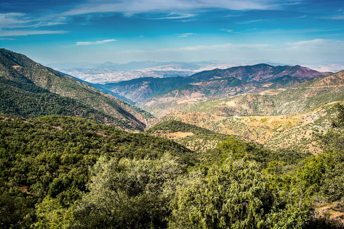
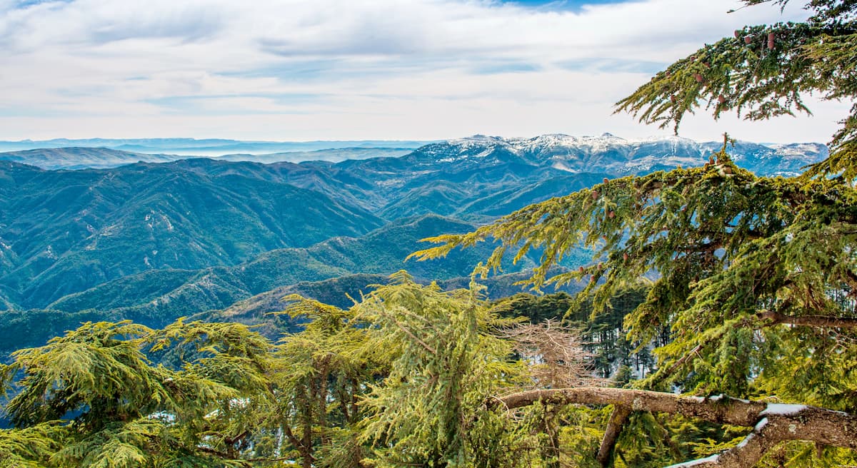
Since the range tends to catch much of the region’s scant precipitation, it is much more forested than some of the surrounding areas. As a result, much of the Atlas Mountains is forested at the mid elevations, with sizable stands of Atlas cedar, Algerian oak, live oak, argan, holm oak, cork oak, and Algerian fir.
Wildlife in the range is also quite diverse, though the specific species that you’ll find depend greatly on your location. Some of the many animals that can be found in the Atlas mountains include Barbary leopard, Barbary macaque, Barbary sheep, Atlas deer, polecat, and wild boar.
In an area as vast and culturally diverse as the Atlas Mountains, a single history is hard to come by. However, it is clear that anatomically modern humans have lived in the region for hundreds of thousands of years.
In particular, the Berbers have lived in and around the Atlas Mountains for at least the last 10,000 years and were in the area during the arrival of the Carthainians, the Phoenicians, the Romans, and the Arabs from Antiquity to the Middle Ages.
By the 1800s, much of the Maghreb was colonized by a number of European countries, including Spain, Italy, and most notably, France.
The regions in and around the Atlas Mountains have seen substantial conflict over the last few centuries, including various campaigns during World War I, World War II, the Western Sahara War, and the Algerian War of Independence.
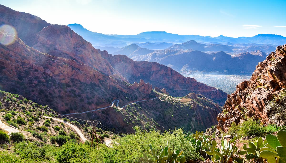
These days, much of the Atlas Mountains remains remote and the highest regions are sparsely inhabited, though the majority of the range is fairly accessible from the region’s Maghreb’s major cities. There are also many parks and protected areas within the Atlas Mountains, which make for excellent destinations for outdoor recreation.
With tens of thousands of peaks to check out, the Atlas Mountains are a hiker’s dream. Here are some of the most popular hiking areas in the range:
Toubkal National Park (Parc national de Toubkal/متنزه توبقال الوطني) is located in western Morocco, just to the south of the Marrakesh. It contains 35 named mountains, the highest and most prominent of which is Toubkal.
Situated within the High Atlas, Toubkal National Park is known for its stunning alpine landscapes. It is home to a great array of different flora and fauna, as well as some excellent hikes, such as the Toubkal Circuit for visitors to enjoy.
The park is also the location of some fantastic archaeological remains, including some 8,000 year old petroglyphs.
Located in north-central Morocco, Ifrane National Park (Parc national d’Ifrane/المنتزه الوطني إفران) is a small but beautiful natural area in the Middle Atlas. It contains 46 named mountains, the highest and most prominent of which is Jebel Hebri.
The park is heavily forested at the mid elevations and it contains sizable stands of Atlas cedar. It is also one of the last remaining natural habitats for the Barbary macaque, though you can also find serval, caracal, jackal, and Barbary boars in the region.
Ifrane National Park was established in 2004 in order to protect the area’s rich biodiversity. There are also quite a few hiking trails in the park, including the Panorama Loop Trail, the Monkey Trail, and the Forgotten Forest Loop.
One of Algeria’s premier natural areas, Djurdjura National Park (Parc national du Djurdjura/الحديقة الوطنية جرجرة) is located to the east of the city of Algiers. The park is home to 13 named mountains, the highest and most prominent of which is Lalla Khedidja.
Djurdjura National Park is best known for its forests, gorges, grottoes, and magnificent mountain landscapes. It is also a UNESCO designated biosphere reserve, thanks to its rich collection of flora and fauna.
Algeria’s Chréa National Park (Parc national de Chréa/الحديقة الوطنية الشريعة) is located just outside the city limits of Algiers in the northern part of the country. Chréa contains 23 named mountains, the highest of which is Koudiat Sidi Abdelkader, and the most prominent of which is Djebel Tamesguida.
The park is perhaps best known as one of Northern Africa’s few major ski areas where visitors can ski on real snow. Chréa is also the site of a large gorge called Chiffa, where there’s a sizable population of Barbary macaques.
Bou-Hedma National Park (Parc national de Bouhedma/الحديقة الوطنية جبل بوهدمة) is a small national park in central Tunisia that boasts a great collection of flora and fauna. The park has 6 named mountains, the highest and most prominent of which is Djebel Bou Hedma.
In addition to being a haven for biodiversity, Bou-Hedma is also an important archaeological area as it has been inhabited by humans since at least the time of the Ancient Romans. There are many cultural remains in the park, including Roman baths and bridges.
Looking for a place to stay before you start your trip into the Atlas Mountains? Here are some of the best cities to check out:
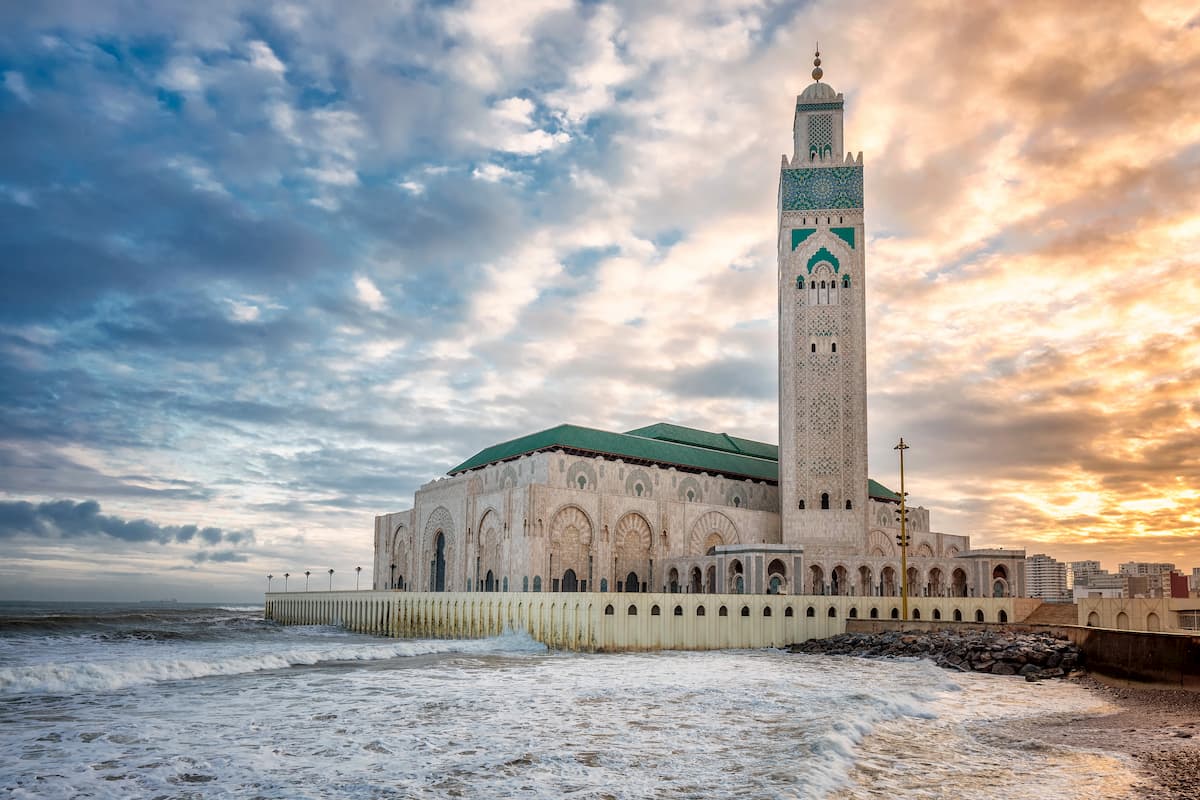
The largest city in Morocco, Casablanca (الدار البيضاء/ⴰⵏⴼⴰ) is located just to the north of the Atlas Mountains on the Atlantic Ocean. Casablanca is home to about 3.7 million people, which makes it the biggest metropolis in the Maghreb.
As the site of one of the busiest ports in the world, Casablanca is a must-visit for anyone venturing to Morocco. The city is relatively easy to get to as it has a major international airport with great domestic connections, as well as plenty of intercity bus and train options throughout the country.
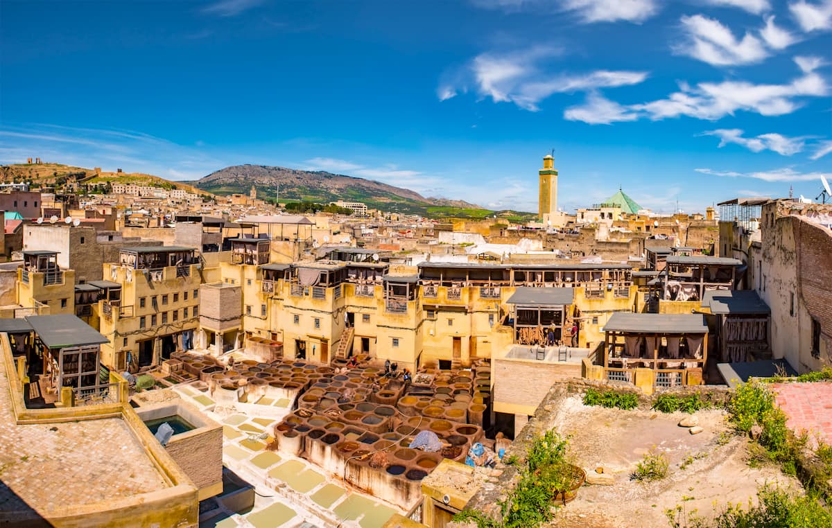
Fez (فاس/ⴼⴰⵙ), which is also known as Fes, is the second largest city in Morocco thanks to its population of about 1.2 million people. The city is nestled along the foothills of the Atlas Mountains, making it a great place to start your adventures.
Getting to Fez is relatively straightforward as the city has an international airport, a train station, and intercity bus connections throughout the country.
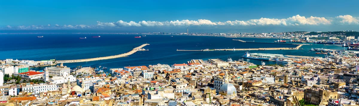
The capital of Algeria, the city of Algiers (الجزائر/ⴷⵣⴰⵢⴻⵔ) is home to about 3.5 million people, though about 5 million people live in the city’s metropolitan region. It is located along the Mediterranean coast and it boasts a growing tourism industry.
Algiers is accessible by air via its international airport, and by train via the SNTF national railway, so it’s easy to get to from other parts of the country.
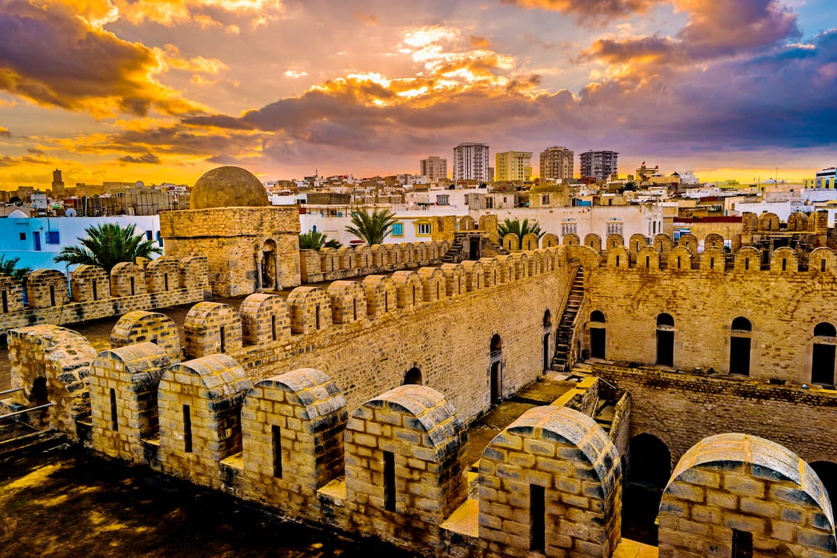
Tunis is the capital and the largest city of Tunisia with about 2.7 million residents. Located on the Gulf of Tunis right off the Mediterranean Sea, Tunis is a major port city and a commercial hub of the region.
Like much of the region’s other major cities, Tunis is accessible by air through its international airport. It also has a growing public transportation network with links to other parts of the country, as well as neighboring Algeria and Libya.