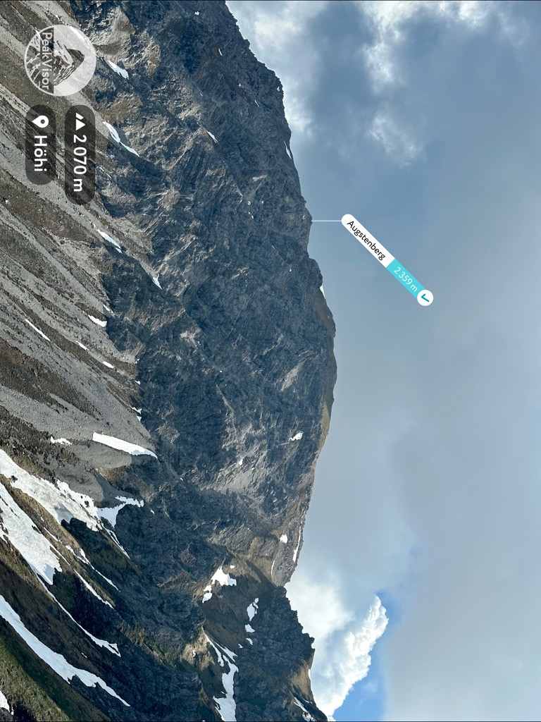
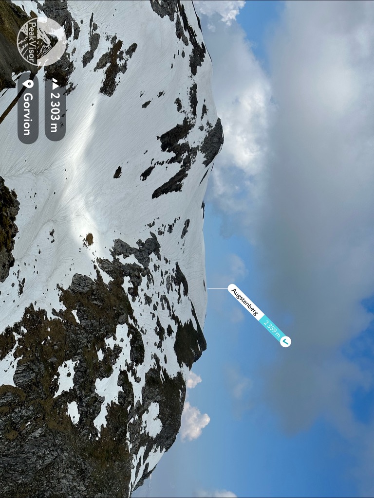
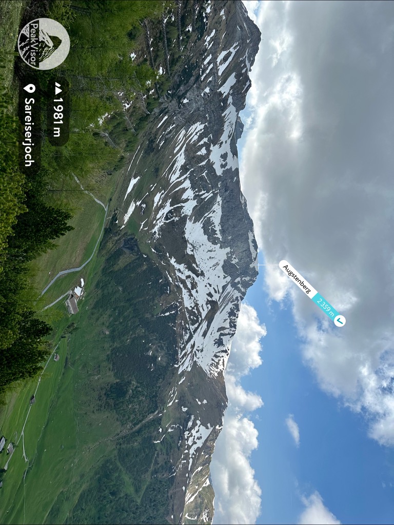
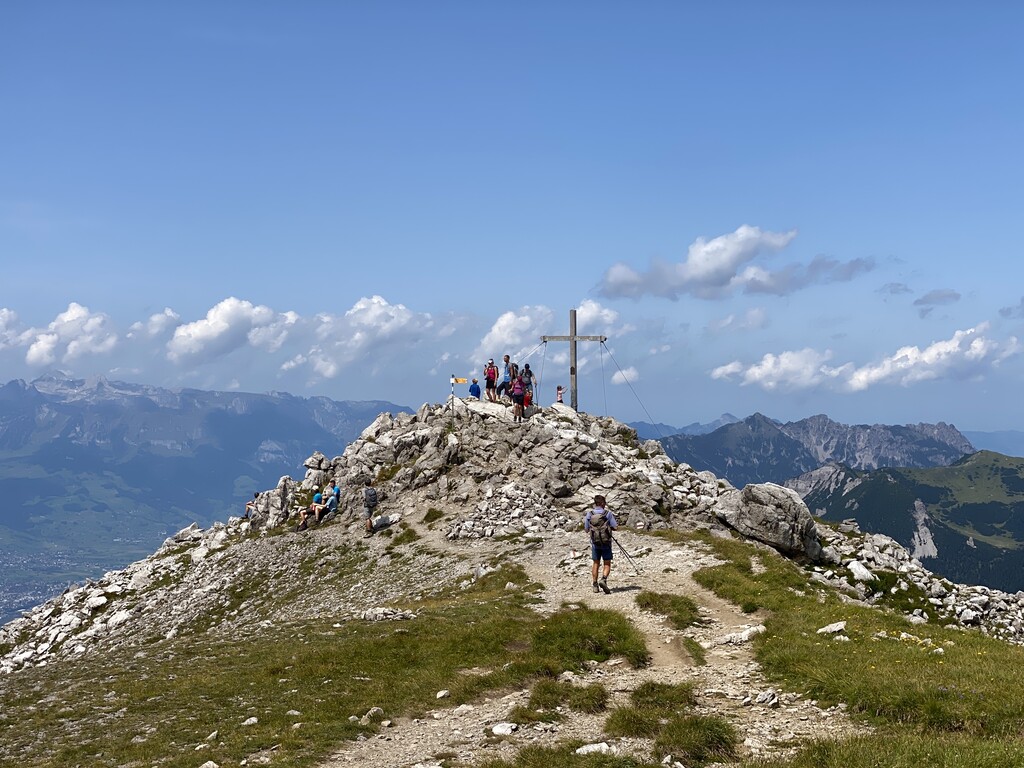
Augstenberg is a mountain in Liechtenstein in the Rätikon range of the Eastern Alps close to the border with Austria and the town of Malbun, with a height of 2,365 metres (7,759 ft).
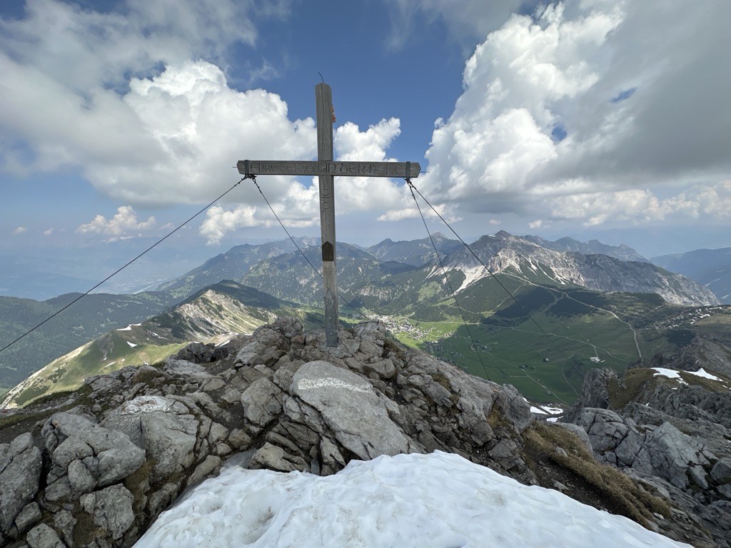
There's a hiking trail (T2) called Fürstin-Gina-Weg leading to the summit. Augstenberg is one of the 2 peaks along the Malbun - Augstenberg - Pfaelzerhuette.
The nearest mountain hut is Pfälzerhütte located 1 193m/3 915ft SSE of the summit.
By elevation Augstenberg is
# 7 out of 92 in Liechtenstein # 7 out of 80 in Wahlkreis Oberland # 90 out of 369 in the Rätikon
By prominence Augstenberg is
# 6 out of 92 in Liechtenstein # 6 out of 80 in Wahlkreis Oberland # 20 out of 369 in the Rätikon
We use GPS information embedded into the photo when it is available.
3D mountains overlay
Adjust mountain panorama to perfectly match your photos because recorded by camera photo position might be imprecise.
Move tool
Rotate tool
Zoom
More customization
Choose which peak labels should make into the final photo and what photo title should be.
Next
Photo Location
Satellitte
Flat map
Relief map
Latitude
Longitude
Altitude
OR
Latitude
°'''
Longitude
°'''
Apply
Register Peak
Peak Name
Latitude
Longitude
Altitude
Register
Teleport
PeakVisor
This 3D model of Sagarmatha National Park in Nepal was made using the PeakVisor app topographic data. The mobile app features higher precision models worldwide, more topographic details, and works offline. Download PeakVisor maps today.
Download OBJ model
PeakVisor
The download should start shortly. If you find it useful please consider supporting the PeakVisor app.
PeakVisor for iOS and Android
Be a superhero of outdoor navigation with state-of-the-art 3D maps and mountain identification in the palm of your hand!