We use necessary cookies to make the website work, also they are used to understand site usage and make improvements.
Accept
Reject
Explore
Hiking Map
3D Hiking Map
Ski Touring Map
3D Ski Touring Map
Mountain Panoramas
Identify Mountains
Places
Where to Go
Mountain Huts
Ski Resorts
Climbing Areas
Read
News
Ski Touring Articles
Paths of Inspiration
Mountain Pulse
PeakVisor
PeakVisor App
PeakVisor PRO
Gift PRO
API
About PeakVisor
Contact Us
Sign In
explore mountains
Find huts in
Switzerland
Grisons
Surselva
Explore region
Grisons
·
Surselva
Restaurant
Schedule unknown
1 839 m
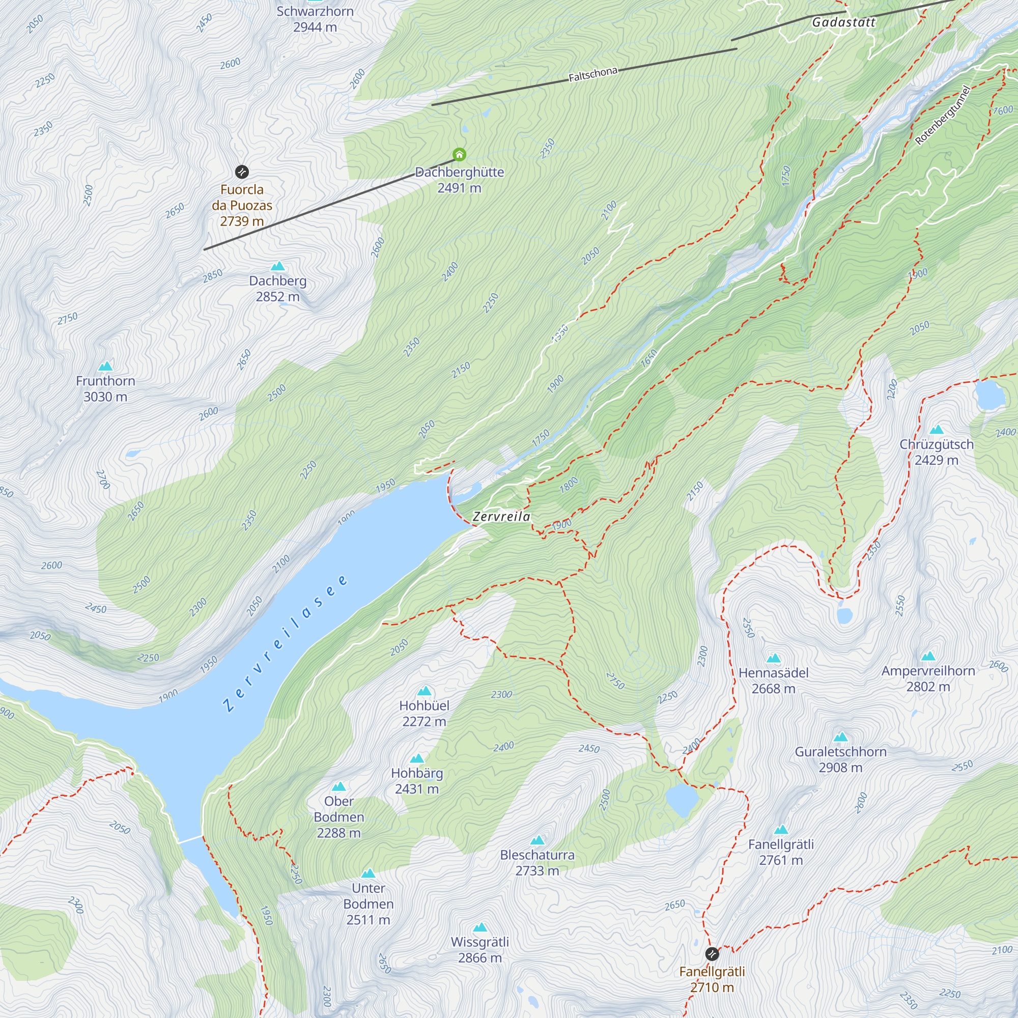
Zervreila
Check-in & Feedback
46.57783
N
9.12297
E
About
Trails
Mountain Conditions
Tourist information
Nearest Mountain
Lifts
Nearest Mountain Lifts
Check-ins
Check-in & Feedback
Mountain Huts
Nearby
Dachberghütte
2.3 km
·
2 491 m
Gadastatt
3.8 km
·
1 816 m
Steinbock
5.2 km
·
1 287 m
Läntahütte SAC
7.4 km
·
2 090 m
Camona da Terri
11.0 km
·
2 170 m
Berggasthaus Turrahus
12.8 km
·
1 702 m
Gipfelrestaurant Sezner
14.7 km
·
2 262 m
Wali
16.4 km
·
1 718 m
Bergrestaurant Triel
16.4 km
·
1 601 m
Camona da Medel CAS
17.4 km
·
2 524 m
Kartitscha
17.7 km
·
1 784 m
Bündner Rigi
19.1 km
·
1 620 m
Restaurant Rufalipark
19.3 km
·
1 360 m
Restaurant Valata
20.5 km
·
1 243 m
Alp Glivers
23.7 km
·
1 898 m
Alp Dado
24.2 km
·
1 850 m
Steak Houses Chevrina
25.5 km
·
1 221 m
Pistenbeizli
25.6 km
·
1 649 m
Camona da Punteglias CAS
25.6 km
·
2 311 m
Maiensäßbeizli Ilmschlacht
26.7 km
·
1 580 m
Bifertenhütte
27.4 km
·
2 482 m
Caischavedra
27.4 km
·
1 860 m
Tegia Curnius
28.4 km
·
1 632 m
La Baracca
28.9 km
·
2 204 m
Explore the Region
All mountain huts in Grisons
30 nearby
Mountains of Grisons
Mountains of Surselva
Alps range
Lepontine Alps range
×
Check-ins, Feedbacks and Summit Register
Check-in & Feedback
Congrats on this visit. Add a quick note while the details are still fresh.
Mountain hut
*
Date
*
Write a couple of words about your visit
Photo
+
Ready to attach to your check-in.
PeakVisor for iOS and Android
Be a superhero of outdoor navigation with state-of-the-art 3D maps and mountain identification in the palm of your hand!
Scan the QR code to download PeakVisor mobile app