We use necessary cookies to make the website work, also they are used to understand site usage and make improvements.
Accept
Reject
Explore
Hiking Map
3D Hiking Map
Ski Touring Map
3D Ski Touring Map
Mountain Panoramas
Identify Mountains
Places
Where to Go
Mountain Huts
Ski Resorts
Climbing Areas
Read
News
Ski Touring Articles
Paths of Inspiration
Mountain Pulse
PeakVisor
PeakVisor App
PeakVisor PRO
Gift PRO
API
About PeakVisor
Contact Us
Sign In
explore mountains
Find huts in
Austria
Vorarlberg
Bezirk Bludenz
Explore region
Vorarlberg
·
Bezirk Bludenz
Restaurant
Closed
1 643 m
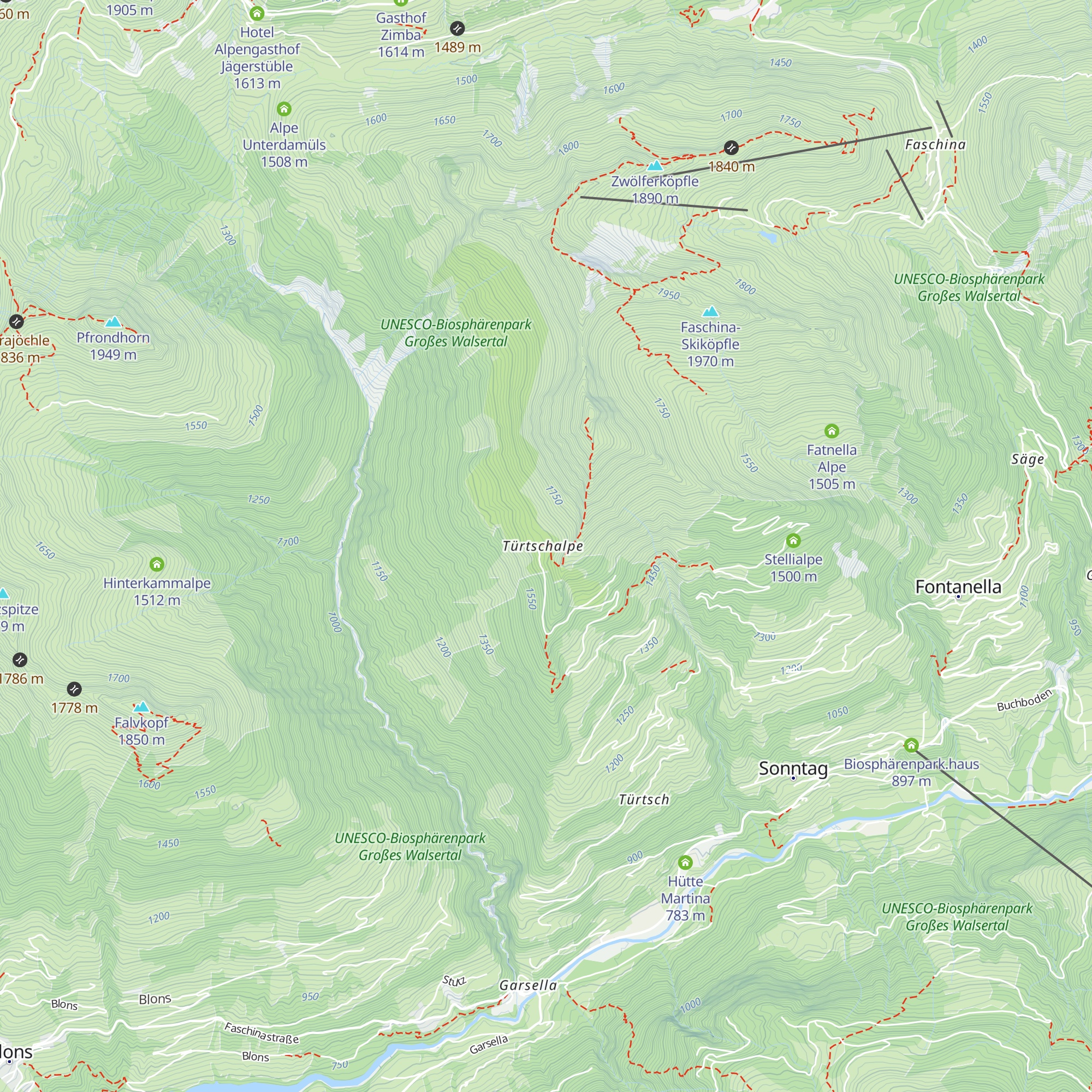
Türtschalpe
Check-in & Feedback
47.25051
N
9.87642
E
About
Trails
Mountain Conditions
Tourist information
Nearest Mountain
Lifts
Nearest Mountain Lifts
Check-ins
Check-in & Feedback
Mountain Huts
Nearby
Rotkreuz-Abteilung Bludenz Außenstelle Sonntag
2.1 km
·
776 m
Lari Fari
3.4 km
·
1 486 m
Sterisstüble
3.9 km
·
1 444 m
Alpen-Chalet Partnom
4.8 km
·
1 564 m
Wandfluhhütte
5.0 km
·
1 561 m
Breithornhütte
5.4 km
·
1 679 m
Fraßenhütte
7.7 km
·
1 725 m
Alpengasthof Muttersberg
8.7 km
·
1 398 m
Biberacher Hütte
11.5 km
·
1 846 m
Freiburger Hütte
13.0 km
·
1 931 m
Göppinger Hütte
13.4 km
·
2 245 m
Ronaalpe
14.3 km
·
1 240 m
Unicorn Restaurant
14.5 km
·
1 168 m
Rufana Alp
14.8 km
·
1 233 m
Gasthaus Älpele
15.5 km
·
1 563 m
Waiblinger Hütte
15.5 km
·
1 410 m
Gasthof Rellseck
16.0 km
·
1 489 m
Frööd
16.9 km
·
1 665 m
Alpe Dalaaser Stafel
16.9 km
·
1 746 m
Sarotlahütte
17.7 km
·
1 645 m
Klösterle
17.8 km
·
1 523 m
Panoramagasthof Kristberg
17.8 km
·
1 428 m
Restaurant Liftstüble
17.9 km
·
650 m
Knappastoba
18.0 km
·
1 451 m
Explore the Region
All mountain huts in Vorarlberg
87 nearby
Mountains of Vorarlberg
Mountains of Bezirk Bludenz
Alps range
Bavarian Alps range
×
Check-ins, Feedbacks and Summit Register
Check-in & Feedback
Congrats on this visit. Add a quick note while the details are still fresh.
Mountain hut
*
Date
*
Write a couple of words about your visit
Photo
+
Ready to attach to your check-in.
PeakVisor for iOS and Android
Be a superhero of outdoor navigation with state-of-the-art 3D maps and mountain identification in the palm of your hand!
Scan the QR code to download PeakVisor mobile app